Mori Atlas logo
Marine protected areaNorwegian Boundary Sediment Plain

Explore the seafloor geography and protected sediment habitats near the Norway maritime boundary.

Norwegian Boundary Sediment Plain: Mapping the Deep Marine Landscapes of Northern Scotland

(Norwegian Boundary Sediment Plain MPA)

The Norwegian Boundary Sediment Plain is a significant Marine Protected Area located in the northern North Sea at the edge of Scottish offshore waters. This submerged landscape consists of a flat, stable seabed of sand and gravel at depths between 80 and 120 metres. Known for its role in shielding long-lived benthic communities, this remote area provides essential insights into deep-water sedimentary habitats.

marine protected areaoffshore MPANorth Seasand and gravel seabedsediment plaindeep-water habitat

Norwegian Boundary Sediment Plain

Marine protected area

Park overview

Structured park overview, official facts, and landscape profile for Norwegian Boundary Sediment Plain

Norwegian Boundary Sediment Plain park facts, protected area profile, and essential visitor context

Review the core facts for Norwegian Boundary Sediment Plain, including designation, size, terrain, visitor scale, habitats, and operating context in one park-focused overview.

About Norwegian Boundary Sediment Plain

The Norwegian Boundary Sediment Plain is an offshore Marine Protected Area in the northern North Sea, positioned to the northeast of the Scottish mainland and close to the median line that separates Scottish waters from those of Norway. Although the protected area is purely marine and not visible from any coast, it occupies a meaningful place in Scotland's network of MPAs because it represents one of the most distant offshore sediment environments within the country's jurisdiction.

Designated in 2014 under the authority of the Scottish Government and managed by Marine Scotland, the site covers approximately 16,400 hectares (around 164 square kilometres) of seabed lying between roughly 80 and 120 metres below the sea surface. The seafloor here is flat and sedimentary, dominated by sand and gravel substrates that have accumulated over long periods in a low-energy offshore setting. Unlike many Scottish MPAs, which protect coastal features, reefs, or seal colonies, the Norwegian Boundary Sediment Plain is fundamentally about the character and inhabitants of a deep, open-sea sedimentary plain.

The ecological interest of the plain stems largely from the combination of stable physical conditions and the slow-growing, long-lived species they support. Among these, the ocean quahog stands out: a large bivalve clam that can live for more than four centuries, making individuals in this area potentially some of the oldest living animals on Earth. The wider invertebrate community of the seabed, including starfish, crabs, and other burrowing or surface-dwelling fauna, contributes to the protected site's role as a reference area for undisturbed North Sea sediment ecosystems.

Quick facts and research context for Norwegian Boundary Sediment Plain

The Norwegian Boundary Sediment Plain is a Scottish offshore Marine Protected Area lying in the northern North Sea, northeast of the Scottish mainland and near the Norway-Scotland maritime boundary. Designated in 2014 and operated by Marine Scotland under the authority of the Scottish Government, the site covers roughly 16,400 hectares (about 164 square kilometres) of seabed.

The protected zone sits at the very edge of Scottish offshore waters, at depths between 80 and 120 metres, and is characterized by sand and gravel sediment habitats rather than reef, rock, or coastal features. Its ecological significance comes from the cold, stable conditions of the outer North Sea, which support unusual long-lived species such as the ocean quahog.

Protection and recognition

Examine documented marine conservation scope and official recognition details.

Norwegian Boundary Sediment Plain Protection Status and Recognition Data

Marine protection status and management frameworks define the conservation context surrounding Norwegian Boundary Sediment Plain. Structured records outline available designation data and international recognition metrics for the protected marine environment.

Protection details

Protection scope
Marine
Transboundary protection
No
Park context

Deeper park guide and search-rich context for Norwegian Boundary Sediment Plain

Norwegian Boundary Sediment Plain history, landscape, wildlife, and travel context

Explore Norwegian Boundary Sediment Plain through its history, landscape character, ecosystems, wildlife, conservation priorities, cultural context, and seasonal travel timing in a structured park guide built for atlas discovery and search intent.

Why Norwegian Boundary Sediment Plain stands out

The Norwegian Boundary Sediment Plain is best known for its ancient ocean quahogs, large clams whose lifespan can exceed 400 years, making them among the longest-lived animals on the planet. Because these bivalves grow slowly in the cold, stable conditions of the far northern North Sea, their presence defines much of the conservation value of the site. Beyond the quahogs, the plain is also recognized as a representative example of offshore sand and gravel seabed habitat at the very margin of Scottish waters. The combination of deep, open-sea sediment conditions and extremely slow-growing fauna gives the MPA a distinctive ecological profile that is unusual in the UK network of marine protected areas.

Norwegian Boundary Sediment Plain history and protected-area timeline

The Norwegian Boundary Sediment Plain was established as a Marine Protected Area in 2014, as part of a broader Scottish effort to build a network of MPAs covering representative marine habitats around the country's coast and offshore waters. Its designation came under the authority of the Scottish Government, reflecting devolved responsibility for marine nature conservation in waters out to the Scottish offshore boundary defined by the Scottish Adjacent Waters Boundaries Order 1999.

Because the site lies at the far edge of that boundary, close to the maritime line with Norway, the plain has significance as one of the most northerly and most offshore of Scotland's sediment-plain MPAs. Its establishment recognized that effective marine conservation in the region needed to include not only coastal and nearshore habitats but also the deeper sedimentary environments of the open northern North Sea.

Norwegian Boundary Sediment Plain landscape and geographic character

The landscape of the Norwegian Boundary Sediment Plain is entirely submerged, consisting of a flat to gently undulating seabed in the northern North Sea rather than any terrestrial scenery. The seafloor sits at depths of roughly 80 to 120 metres below the sea surface, placing it well beyond the reach of divers and in the relatively dark, low-energy zone characteristic of offshore European waters.

The substrate is dominated by sand and gravel sediments that have settled out in this part of the North Sea over long timescales. There are no reefs, rocky outcrops, seamounts, or coastal cliffs defining the area; instead, the defining physical character is homogeneity and stability. The plain lies near the maritime boundary with Norway, at the outer limit of Scottish offshore waters, which gives the protected area a remote, open-sea setting far from any shoreline influence.

Norwegian Boundary Sediment Plain ecosystems, habitats, and plant life

Ecologically, the Norwegian Boundary Sediment Plain represents a deep offshore sand and gravel habitat community, one of the habitat types that Scottish marine conservation efforts specifically sought to include in the MPA network. The cold, stable conditions of the northern North Sea, combined with a soft sedimentary substrate, support a distinctive benthic community adapted to low-energy, deep-water life.

The site's ecological identity is shaped less by species richness in a tropical or reef sense and more by the unusual longevity and slow turnover of its fauna. Sediment-dwelling and surface-dwelling invertebrates thrive here, with starfish, crabs, and large burrowing bivalves among the characteristic groups. Because the physical environment changes very little over decades, the area functions as a stable reference point for offshore sediment ecology in this part of the North Sea.

Norwegian Boundary Sediment Plain wildlife and species highlights

The wildlife interest of the Norwegian Boundary Sediment Plain lies almost entirely in its seabed fauna. The protected area supports a community of typical offshore North Sea invertebrates, including starfish, crabs, and large burrowing clams that live on and within the sand and gravel sediments.

The single most remarkable wildlife feature is the ocean quahog, a bivalve clam capable of living for more than 400 years. Ocean quahogs in this area are therefore among the oldest known living animals on Earth, and their extreme longevity is a defining characteristic of the site's biodiversity value. While there are no marine mammals, seabird colonies, or seal haul-outs specifically associated with the plain, its invertebrate fauna gives it a distinctive place in Scottish marine wildlife conservation.

Norwegian Boundary Sediment Plain conservation status and protection priorities

The Norwegian Boundary Sediment Plain was designated as a Marine Protected Area in 2014, primarily to safeguard representative examples of offshore sand and gravel habitat and the slow-growing, long-lived species that depend on them. Its conservation significance lies in preserving a relatively undisturbed deep-water sediment ecosystem at the edge of Scottish offshore waters, where natural physical conditions are stable and biological communities change only over very long timescales.

The site's protection is particularly important because of the ocean quahogs and other long-lived invertebrates it supports; disturbances to such slow-growing populations take centuries to recover from, making prevention of seabed damage a central conservation goal. By managing this remote area as part of Scotland's MPA network, Marine Scotland aims to maintain a reference site for the natural sedimentary communities of the northern North Sea and to contribute to broader regional marine biodiversity protection.

Top sights and standout views in Norwegian Boundary Sediment Plain

The defining highlights of the Norwegian Boundary Sediment Plain are its depth and remoteness: a flat sand and gravel seabed at 80 to 120 metres, lying near the Norway-Scotland maritime boundary at the very edge of Scottish waters. Its marine wildlife profile is shaped by cold, stable conditions that have allowed an unusually old community of seabed animals to persist essentially undisturbed.

The standout feature for visitors of any kind who follow this protected area is the presence of ocean quahogs, clams that can live for more than four centuries and rank among the oldest living animals known to science. Combined with the designation date of 2014 and management by Marine Scotland under the Scottish Government, these features make the plain a distinctive, if entirely underwater, entry in Scotland's network of Marine Protected Areas.

Best time to visit Norwegian Boundary Sediment Plain

As an offshore Marine Protected Area without land access, visitor infrastructure, or surface-level scenery, the Norwegian Boundary Sediment Plain is not a destination in the conventional travel sense. Conditions for any vessel-based research or survey work in this northern North Sea location tend to be more favorable during the calmer late spring and summer months, when the weather over the northeastern approaches to Scotland is relatively settled.

In winter, the same waters are typically rougher and less accessible to small boats, and severe weather across the northern North Sea can limit activity for prolonged periods. However, the ecological character of the seabed community itself is effectively season-independent, as the long-lived invertebrates of the sediment plain, including ocean quahogs, change only over centuries rather than over any single season.

Monthly climate preview

Long-term monthly temperature averages and precipitation patterns for Scotland

Norwegian Boundary Sediment Plain Climate Normals and Temperature Rhythms

Representative coordinate records show measured annual temperature ranges and monthly precipitation distributions across the protected landscape. Detailed monthly climate profiles provide complete twelve-month normals for structured environmental research.
Annual mean10 °C
6 °C15 °C
Jan
Feb
Mar
Apr
May
Jun12°
Jul14°
Aug15°
Sep13°
Oct11°
Nov
Dec
Warmest month
August

15 °C

Coolest month
February

5.9 °C

Wettest month
January

3.6 mm/day

Driest month
May

1.5 mm/day

Park location guide

Geography guide, regional context, and park location map for Norwegian Boundary Sediment Plain

Norwegian Boundary Sediment Plain park geography, regions, and map view in United Kingdom

Understand where Norwegian Boundary Sediment Plain sits in United Kingdom through a broader geographic reading of the surrounding landscape, nearby location context, and its mapped position within the national park landscape.

How Norwegian Boundary Sediment Plain fits into United Kingdom

The United Kingdom is a parliamentary constitutional monarchy located in northwestern Europe, consisting of four constituent countries: England, Scotland, Wales, and Northern Ireland. As a major global power with over 69 million residents, it maintains significant international influence in politics, economics, and culture.

Wider geography shaping Norwegian Boundary Sediment Plain in United Kingdom

The United Kingdom is an island nation located in northwestern Europe, surrounded by the Atlantic Ocean, North Sea, English Channel, Celtic Sea, and Irish Sea. It shares a land border with the Republic of Ireland to the west. The territory includes the island of Great Britain, the northeastern portion of Ireland, and most of the smaller British Isles islands.

Map view of Norwegian Boundary Sediment Plain

Use this park location map to pinpoint Norwegian Boundary Sediment Plain in United Kingdom, understand its exact geographic position, and read its mapped placement within the surrounding landscape more clearly.

Pigeon | © OpenStreetMap contributors

Location context for Norwegian Boundary Sediment Plain

Scotland
Park atlas

Compare adjacent marine protected areas and surrounding offshore seabed habitats in the North Sea.

Explore Other Parks Near Norwegian Boundary Sediment Plain and Related Protected Areas

Continue browsing other parks near Norwegian Boundary Sediment Plain to examine related marine conservation habitats across the northern North Sea. Comparing these offshore protected areas reveals broader regional patterns in deep seabed ecology and benthic fauna.
Marine protected areaShetland
About 268 km away#1 closest

Northwest

Boddam Marine Protected Area: A Geographic Profile of Southern Shetland Coastal Waters

Coastal conservation landscapes and North Atlantic marine ecology

Located on the southern Mainland of Shetland, the Boddam Marine Protected Area stands as a vital site for marine conservation. The region is widely recognized for its consistent sandeel populations, which provide essential nourishment for seabirds and predatory marine mammals. This site combines a rich Norse crofting history with a sheltered maritime geography, offering a window into the interconnectedness of land and sea in the northern reaches of Scotland.

Relief
Lowland
Water
Major water bodies
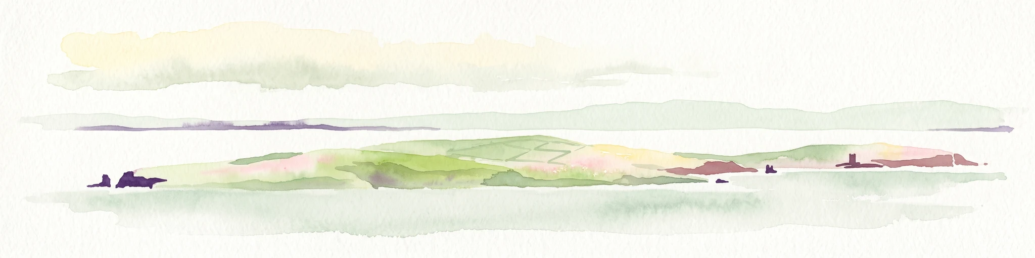
A soft watercolor painting of the island of Mousa in Shetland, depicting green and tan grassy hills surrounded by water, with the tall stone silhouette of the Mousa Broch visible on the island.
Wildlife reserveShetland Islands
About 270 km away#2 closest

Northwest

Mousa, Shetland Wildlife Reserve: Mapping the Geography of a Northern Coastal Protected Area

Ancient broch ruins and critical island wildlife habitat

Mousa, Shetland provides a unique look at isolated island geography, featuring layered sedimentary geology and a high-density seabird ecosystem. Gain geographic insight into this protected site, encompassing historical Iron Age structures alongside vital nesting grounds located within the broader marine landscape of the Shetland archipelago.

Area
1.8 km²
Relief
Lowland
Climate
Temperate
Access
Moderate access
Marine protected areaScotland
About 276 km away#3 closest

Southwest

Firth of Forth Banks Complex: Offshore Marine Protected Area Geography and Seabed Atlas

Dynamic sand and gravel ridges off the coast of Scotland

The Firth of Forth Banks Complex encompasses a series of prominent submarine sediment banks at the meeting point of the Firth of Forth and the North Sea. These raised seafloor formations, characterized by strong currents and varied substrate types, function as an essential component of the marine conservation network in Scotland. The area sustains rich benthic biodiversity and supports ecologically significant populations of fish and long lived bivalves.

Area
2,130 km²
Established
2014
Relief
Lowland
Climate
Temperate
Nature reserveScotland
About 282 km away#4 closest

West

East Caithness Cliffs Nature Reserve: Regional Geography and Coastal Protected Area Atlas

Coastal sandstone cliffs and maritime heath habitats in northern Scotland.

Examine the layered conservation architecture and physical geography of East Caithness Cliffs. This site serves as a prime example of protected northern coastal terrain, where sandstone formations and maritime heath support vast seabird populations across a mosaic of land and sea boundaries.

Area
116.96 km²
Established
1996
Relief
Upland
Climate
Temperate
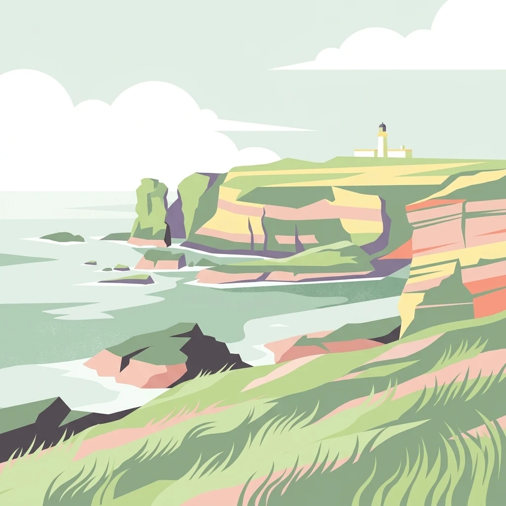
A minimalist, stylized vector illustration of coastal cliffs meeting the sea, with a lighthouse visible in the distance on top of the headland.
Marine protected areaHighland
About 283 km away#5 closest

West

Noss Head Marine Protected Area: Highland Coastal and Benthic Geography

Exploring the rocky cliffs and offshore mussel habitats of Northern Scotland.

Noss Head is a notable marine protected area located on the Caithness coast of the Scottish Highlands. The site is defined by its rugged coastal cliffs and an expansive, nationally important horse mussel bed that occupies the seabed at depths between 35 and 45 metres. This area represents a core study in North Atlantic benthic ecology and dramatic maritime landforms.

Area
8 km²
Established
2014
IUCN
IV
Relief
Lowland
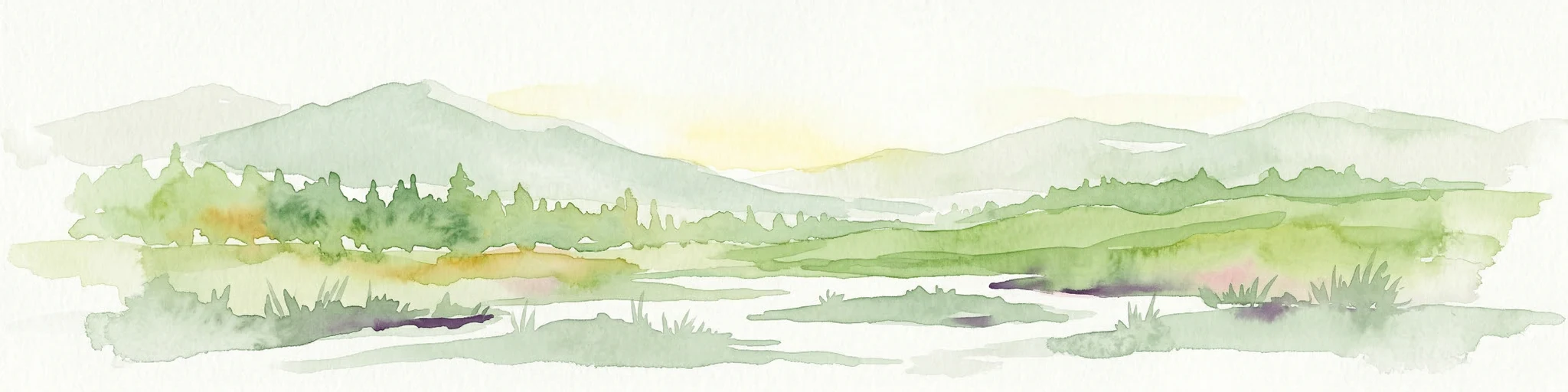
Watercolor painting depicting mountains, forested hills, and a river in a scenic landscape
National parkScotland
About 294 km away#6 closest

West

Cairngorms National Park: Explore Scotland's Largest Protected Mountain Landscape

Mapped boundaries and arctic-alpine geography.

As the United Kingdom's largest national park, Cairngorms National Park in Scotland presents a vast expanse of distinctive arctic-alpine terrain and ancient Caledonian forests. This protected landscape offers a unique opportunity to explore mapped geographic features, from its extensive mountain plateaus to its vital river systems. Discover the contours and context of this significant natural area within the broader atlas of Scotland's protected lands.

Area
4,528 km²
Established
2003
IUCN
V
Visitors
1.9M annual
Wildlife reserveOrkney
About 296 km away#7 closest

Northwest

Rousay Wildlife Reserve: Mapped Geography and Protected Landscapes in the Orkney Archipelago

Island moorlands, coastal cliffs, and freshwater loch ecosystems.

Rousay represents a critical protected area within the Orkney islands, characterized by its elevated moorland summits and dramatic shorelines. The mapped terrain reveals complex interactions between marine sounds and terrestrial habitats, offering a deep look into the regional geography and conservation status of this northern sanctuary.

Area
48.6 km²
Relief
Upland
Climate
Temperate
Access
Moderate access
Wildlife reserveShetland Islands
About 307 km away#8 closest

Northwest

Fetlar Wildlife Reserve and North Isles Geography: A Detailed Protected Area Overview

Coastal terrain and ecological sanctuary in the Shetland Islands

Fetlar is a remarkable protected landscape in the Shetland Islands, famously known as the Garden of Shetland for its unusually fertile soil and plant diversity. This geographic entry documents the island's role as a critical seabird refuge and its complex coastal environment, providing essential context on the physical boundaries and historical landmarks like the Funzie Girt that define this North Atlantic isle.

Area
40.78 km²
Relief
Upland
Climate
Temperate
Access
Moderate access

Common questions about visiting, size, designation, and location context for Norwegian Boundary Sediment Plain

Norwegian Boundary Sediment Plain FAQs for park facts, access, geography, and protected area context

Find quick answers about Norwegian Boundary Sediment Plain, including protected-area facts, park geography, trail and visitor context, and how the park fits into its surrounding country and regional landscape.
MoriAtlas Explorer

Continue Your Protected Areas Search Across the Global Atlas

Deepen your exploration by continuing the structured search for national parks and protected areas worldwide. Utilize the comprehensive filtering capabilities to compare different conservation landscapes and refine your understanding of global park geography. Discover more about the distribution and characteristics of protected natural areas.

Global natural geography