Mori Atlas logo
Nearby park discovery

Geographic mapping of protected seabed habitats and marine sites in northern waters

Regional Protected Areas and Marine Landscapes Near Norwegian Boundary Sediment Plain

Examine the geographic distribution and spatial relationship of marine protected areas situated near the Norwegian Boundary Sediment Plain. This view allows for the comparison of deep-water habitats, sedimentary seabed zones, and protected offshore boundaries within the northern North Sea region.

Related tags

marine protected areaoffshore MPANorth Seasand and gravel seabedsediment plain

A North Sea sediment plain MPA protecting ancient seabed life at Scotland's far offshore edge.

Norwegian Boundary Sediment Plain

The Norwegian Boundary Sediment Plain is a Marine Protected Area lying to the northeast of Scotland, in the northern North Sea near the maritime boundary with Norway. It sits at the outer edge of Scottish offshore waters and protects a flat sedimentary seabed of sand and gravel at depths of roughly 80 to 120 metres below sea level. The area was designated in 2014 under the authority of the Scottish Government and is managed by Marine Scotland. Although its waters are remote and far from shore, the seabed community it shelters is biologically significant, featuring slow-growing and long-lived species typical of stable offshore sediments. The plain is most notable for its population of ocean quahogs, large clams that live for more than four centuries and are among the oldest living animals on Earth. The protected status of the site is therefore shaped as much by the longevity and ecological character of its seabed fauna as by any surface-level scenery.

Location
United Kingdom
Park type
Marine protected area
Established
2014
Area
164 km²
Norwegian Boundary Sediment Plain Marine Protected Area
Regional park map

See the ranked park cluster in its geographic setting

Nearby parks around Norwegian Boundary Sediment Plain

This regional map shows the same 20 nearby parks ranked below around Norwegian Boundary Sediment Plain. Select a ranked marker to highlight that park’s boundary where boundary data is available.
Reference park: Norwegian Boundary Sediment PlainRanked nearby park20 nearby parks shown
20 nearby parks

Geographic proximity and environmental comparison across surrounding marine waters

Ranked Protected Areas and Parks Near Norwegian Boundary Sediment Plain

Examine distance-ranked protected areas surrounding the Norwegian Boundary Sediment Plain to evaluate regional marine geography. Structured spatial metrics and recorded environmental attributes provide clear comparison signals for surrounding offshore conservation landscapes.
Marine protected areaShetland
About 268 km away#1 closest

Northwest

Boddam Marine Protected Area: A Geographic Profile of Southern Shetland Coastal Waters

Coastal conservation landscapes and North Atlantic marine ecology

Located on the southern Mainland of Shetland, the Boddam Marine Protected Area stands as a vital site for marine conservation. The region is widely recognized for its consistent sandeel populations, which provide essential nourishment for seabirds and predatory marine mammals. This site combines a rich Norse crofting history with a sheltered maritime geography, offering a window into the interconnectedness of land and sea in the northern reaches of Scotland.

Relief
Lowland
Water
Major water bodies
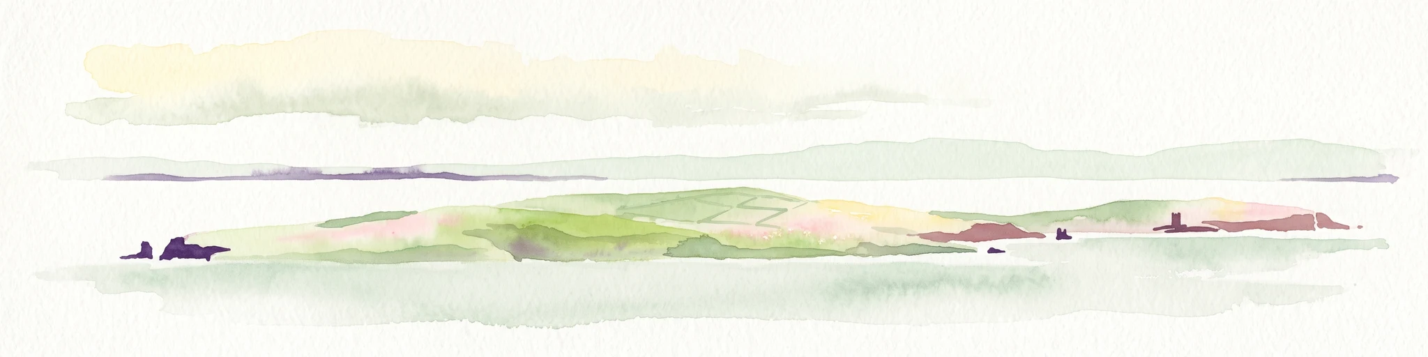
A soft watercolor painting of the island of Mousa in Shetland, depicting green and tan grassy hills surrounded by water, with the tall stone silhouette of the Mousa Broch visible on the island.
Wildlife reserveShetland Islands
About 270 km away#2 closest

Northwest

Mousa, Shetland Wildlife Reserve: Mapping the Geography of a Northern Coastal Protected Area

Ancient broch ruins and critical island wildlife habitat

Mousa, Shetland provides a unique look at isolated island geography, featuring layered sedimentary geology and a high-density seabird ecosystem. Gain geographic insight into this protected site, encompassing historical Iron Age structures alongside vital nesting grounds located within the broader marine landscape of the Shetland archipelago.

Area
1.8 km²
Relief
Lowland
Climate
Temperate
Access
Moderate access
Marine protected areaScotland
About 276 km away#3 closest

Southwest

Firth of Forth Banks Complex: Offshore Marine Protected Area Geography and Seabed Atlas

Dynamic sand and gravel ridges off the coast of Scotland

The Firth of Forth Banks Complex encompasses a series of prominent submarine sediment banks at the meeting point of the Firth of Forth and the North Sea. These raised seafloor formations, characterized by strong currents and varied substrate types, function as an essential component of the marine conservation network in Scotland. The area sustains rich benthic biodiversity and supports ecologically significant populations of fish and long lived bivalves.

Area
2,130 km²
Established
2014
Relief
Lowland
Climate
Temperate
Nature reserveScotland
About 282 km away#4 closest

West

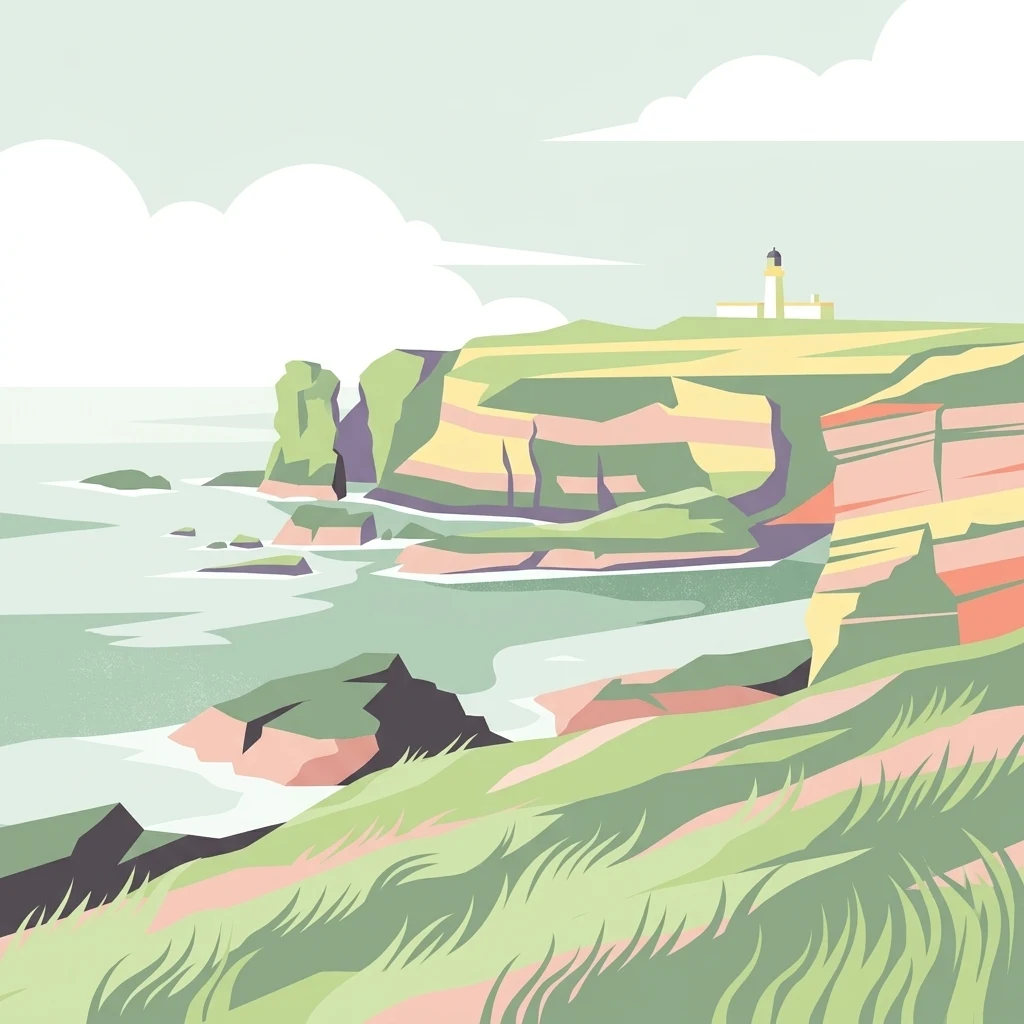
East Caithness Cliffs Nature Reserve: Regional Geography and Coastal Protected Area Atlas

Coastal sandstone cliffs and maritime heath habitats in northern Scotland.

Examine the layered conservation architecture and physical geography of East Caithness Cliffs. This site serves as a prime example of protected northern coastal terrain, where sandstone formations and maritime heath support vast seabird populations across a mosaic of land and sea boundaries.

Area
116.96 km²
Established
1996
Relief
Upland
Climate
Temperate
A minimalist, stylized vector illustration of coastal cliffs meeting the sea, with a lighthouse visible in the distance on top of the headland.
Marine protected areaHighland
About 283 km away#5 closest

West

Noss Head Marine Protected Area: Highland Coastal and Benthic Geography

Exploring the rocky cliffs and offshore mussel habitats of Northern Scotland.

Noss Head is a notable marine protected area located on the Caithness coast of the Scottish Highlands. The site is defined by its rugged coastal cliffs and an expansive, nationally important horse mussel bed that occupies the seabed at depths between 35 and 45 metres. This area represents a core study in North Atlantic benthic ecology and dramatic maritime landforms.

Area
8 km²
Established
2014
IUCN
IV
Relief
Lowland
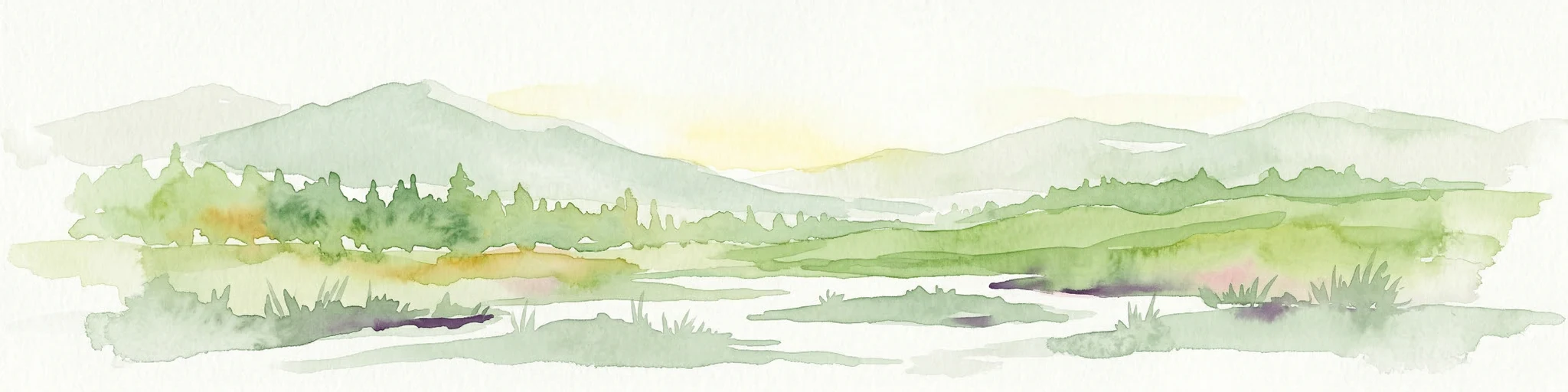
Watercolor painting depicting mountains, forested hills, and a river in a scenic landscape
National parkScotland
About 294 km away#6 closest

West

Cairngorms National Park: Explore Scotland's Largest Protected Mountain Landscape

Mapped boundaries and arctic-alpine geography.

As the United Kingdom's largest national park, Cairngorms National Park in Scotland presents a vast expanse of distinctive arctic-alpine terrain and ancient Caledonian forests. This protected landscape offers a unique opportunity to explore mapped geographic features, from its extensive mountain plateaus to its vital river systems. Discover the contours and context of this significant natural area within the broader atlas of Scotland's protected lands.

Area
4,528 km²
Established
2003
IUCN
V
Visitors
1.9M annual
Wildlife reserveOrkney
About 296 km away#7 closest

Northwest

Rousay Wildlife Reserve: Mapped Geography and Protected Landscapes in the Orkney Archipelago

Island moorlands, coastal cliffs, and freshwater loch ecosystems.

Rousay represents a critical protected area within the Orkney islands, characterized by its elevated moorland summits and dramatic shorelines. The mapped terrain reveals complex interactions between marine sounds and terrestrial habitats, offering a deep look into the regional geography and conservation status of this northern sanctuary.

Area
48.6 km²
Relief
Upland
Climate
Temperate
Access
Moderate access
Wildlife reserveShetland Islands
About 307 km away#8 closest

Northwest

Fetlar Wildlife Reserve and North Isles Geography: A Detailed Protected Area Overview

Coastal terrain and ecological sanctuary in the Shetland Islands

Fetlar is a remarkable protected landscape in the Shetland Islands, famously known as the Garden of Shetland for its unusually fertile soil and plant diversity. This geographic entry documents the island's role as a critical seabird refuge and its complex coastal environment, providing essential context on the physical boundaries and historical landmarks like the Funzie Girt that define this North Atlantic isle.

Area
40.78 km²
Relief
Upland
Climate
Temperate
Access
Moderate access
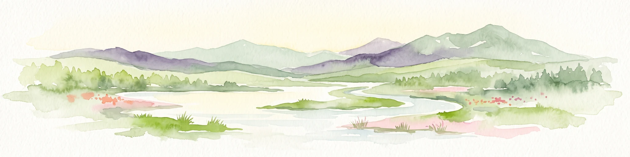
A watercolor painting showing a wide, sweeping landscape of green hills, a winding stream, and flat boggy terrain under a soft, light-colored sky.
Nature reserveScotland
About 320 km away#9 closest

West

Flow Country: Geography and Protected Landscape Analysis of Scotland's Blanket Bog

Northern Scotland's vast, waterlogged peatland ecosystem.

The Flow Country is defined by its extensive, open peatland terrain stretching across Caithness and Sutherland. This nature reserve serves as a critical geographic study area for understanding blanket bog formation, carbon storage, and the restoration of fragile wetland habitats in northern Europe.

Area
4,000 km²
Relief
Lowland
Scope
Terrestrial
Water
Water-dominated
Watercolor illustration of a mountain landscape with green vegetation and pastel-colored peaks
National parkVestland
About 323 km away#10 closest

Northeast

Folgefonna National Park: Norway's Premier Glacier Protected Landscape

Mapped glacial terrain and park boundaries in Vestland.

Folgefonna National Park in Vestland, Norway, stands as a premier protected area defined by its vast ice cap and dramatic glacial geography. This page details the park's mapped boundaries, showcasing its impressive glacial formations, U-shaped valleys, and distinct alpine landscapes. Understand the geographic context and protected status of Folgefonna National Park, a key destination for exploring Norway's glacier heritage through an atlas-driven lens.

Area
545.2 km²
Established
2005
IUCN
II
Relief
Mountain
Watercolor painting of soft rolling dunes, green hills, and light clouds.
Protected areaSutherland
About 339 km away#11 closest

West

Coul Links Protected Area: Coastal Dune and Heathland Geography in Sutherland, Scotland

A study of coastal dune succession and wetland terrain

Coul Links serves as a quintessential example of a Scottish coastal links landscape, tracing a continuous path from active beach fronts through to stable, juniper-rich heathland. Situated in Sutherland, the site offers a window into the formation of dune slacks, seasonal freshwater lochans, and the ecological dynamics of a complex, interwoven coastal system.

Relief
Lowland
Climate
Temperate
Access
Easy access
Scope
Terrestrial
Protected areaPerth and Kinross
About 346 km away#12 closest

Southwest

Coupar Angus Protected Area: Geographic Boundaries and Regional Landscape Mapping

Located in the Perth and Kinross council area of Scotland

Coupar Angus is a key protected area providing essential insights into the geography and terrain of the Perth and Kinross council area. This detailed mapping overview captures the unique landscape features and boundary distributions characteristic of this Scottish region. Perfect for understanding the spatial configuration and natural setting of the site within its broader local government context.

Area
3.76 km²
Established
1976
Relief
Lowland
Climate
Temperate
Watercolor painting of rolling green hills, a body of water, and pink flowers
National parkVestland
About 357 km away#13 closest

Northeast

Hardangervidda National Park: Vast Arctic Plateau and European Peneplain Discovery

Explore Norway's largest national park and its unique tundra ecosystem.

Delve into the geography of Hardangervidda National Park, Norway's largest national park, featuring the expansive Arctic plateau and Europe's largest peneplain. This protected landscape offers a unique mapped environment characterized by treeless moorland, numerous lakes, and important wildlife habitats, including significant wild reindeer populations. Understand its position within the Vestland region and its value as a key protected area for geographic exploration and landscape context.

Area
3,422 km²
Established
1981
IUCN
II
Relief
Highland
Watercolor illustration of Hadrian's Wall stretching across rolling green hills with distant mountains and trees under a sunset sky
National parkNorthumberland
About 364 km away#14 closest

Southwest

Northumberland National Park: England's Northernmost Protected Landscape and Dark Sky Wilderness

Explore its mapped boundaries, Roman heritage, and remote moorland terrain.

Northumberland National Park protects over 1,050 square kilometers of remote and stunning natural beauty in northern England, bordering Scotland. This page provides a structured overview of its protected landscape, focusing on its geographic context within the county of Northumberland, its designation as a National Park, and its renowned status as Europe's largest Dark Sky Park. Users can discover the park's characteristic moorland terrain, the archaeological significance of Hadrian's Wall, and the vast expanses of Kielder Forest, offering an atlas-level understanding of this unique frontier landscape.

Area
1,050 km²
Established
1956
IUCN
V
Relief
Highland
A horizontal watercolor painting showing a soft, impressionistic view of green hills, trees, and a lake, set against a light background.
Protected landscapePerth and Kinross
About 372 km away#15 closest

West

Loch Tummel National Scenic Area: Geography and Mapped Protected Landscape Features

Highland landscape corridor in Perth and Kinross

Loch Tummel National Scenic Area encompasses a vital Highland corridor where freshwater lochs, river gorges, and managed woodlands intersect. This overview focuses on the physical geography of the Tummel valley, providing a detailed look at the protected land, elevation changes, and the hydro-electric history that shaped the current terrain of this scenic region.

Area
90.1 km²
Established
1981
Relief
Upland
Climate
Temperate
A wide watercolor illustration showing a mountain range in the distance, a valley, and green forests on either side, with soft pastel colors.
Protected landscapeHighland
About 390 km away#16 closest

West

North West Sutherland National Scenic Area: Mapping the Peaks and Coasts of Highland Scotland

Protected quartzite mountain landscapes and Atlantic coastal geography

This detailed overview of the North West Sutherland National Scenic Area maps the dramatic interplay between the white quartzite mountains of Foinaven and Arkle and the darker Lewisian gneiss that forms the underlying Highland landscape. The analysis provides deep insights into the region's knock and lochan topography, sea lochs, and the protected coastal habitats of Handa Island, anchoring the area within its broader Scottish geological context.

Area
266 km²
Established
1981
Relief
Mountain
Climate
Temperate
Watercolor illustration showing mountains, green forests, a loch, and a river in a landscape
National parkScotland
About 398 km away#17 closest

Southwest

Loch Lomond and The Trossachs National Park: Mapped Landscapes and Terrain

Regional geography and protected Highland boundaries in Scotland

Loch Lomond and The Trossachs National Park covers a vast array of protected habitats, from coastal sea lochs to high-altitude Munros. This geographic profile outlines the park's position across the Highland Boundary Fault, highlighting its role as a core protected area for Caledonian forests and freshwater lake ecosystems within Scotland.

Area
1,865 km²
Established
2002
IUCN
V
Visitors
2.9M annual
Protected landscapeScottish Borders
About 412 km away#18 closest

Southwest

Upper Tweeddale National Scenic Area: Geography and Protected Landscape Atlas Map

Regional landscape profile in the Scottish Borders

Upper Tweeddale National Scenic Area encompasses 12,770 hectares of refined southern Scottish countryside. This atlas entry provides an overview of the area landscape, defined by its narrow river valley, tributary glens, and the significant upland plateau of the Tweedsmuir Hills. Examine the geographic intersection of protected habitats, historic estates, and the winding course of the River Tweed.

Area
128 km²
Established
1981
Relief
Upland
Climate
Temperate
Protected landscapeHighland
About 414 km away#19 closest

West

Wester Ross National Scenic Area: Protected Highland Mountain and Coastal Landscape Atlas

Geographic mapping of the Northwest Highlands terrain

Wester Ross National Scenic Area spans vast stretches of the Northwest Highlands, characterized by towering Torridonian sandstone peaks and deeply carved sea lochs. This protected region integrates ancient Scots pine forests, glacial-carved glens, and complex coastal environments into one of the most recognizable geographic features of Scotland. The landscape serves as a vital record of geological heritage and high-latitude biodiversity within the Highland administrative region.

Area
1,634.58 km²
Established
1981
Visitors
70K annual
Relief
Mountain
Watercolor illustration of a landscape with trees, water, and distant hills
National parkDenmark
About 416 km away#20 closest

East

Thy National Park: Explore Denmark's First Protected Coastal Landscape and Heathlands

Mapped dune systems, rare heath habitats, and coastal geography.

Thy National Park, Denmark's inaugural national park, protects a significant expanse of windswept coastal terrain. This area is renowned for its rare dune heaths, a habitat of particular European ecological importance, and a landscape shaped by a century of sand drift stabilization efforts. The park's diverse geography includes extensive sandy heaths, conifer plantations, and a striking coastline along the North Sea, offering rich opportunities for atlas exploration of protected natural areas and their surrounding regional context. Discover the mapped extent of this vital conservation landscape.

Area
244 km²
Established
2007
IUCN
II
Relief
Lowland
Distance methodology

Geographic measurements, not driving distances

How nearby park distances are calculated

Distances use park boundaries whenever the available geometry allows it. When one or both boundaries are missing, the mapped park locations provide a clearly labelled estimate. Every value represents straight-line geographic separation and does not use roads or routing.

Boundary distance

Calculated between the nearest points of both park boundaries.

Location-to-boundary estimate

Estimated from one mapped park location to the nearest boundary of the other park.

Mapped-location estimate

Estimated between the mapped locations of both parks.

MoriAtlas Explorer

Trace the Marine Boundaries of the Norwegian Boundary Sediment Plain

Explore the geographic extent and environmental characteristics of this vital North Sea habitat. MoriAtlas provides detailed context on the protected seabed conditions and the ecological significance of this remote underwater landscape in Scotland.