
Streams
Park geography
Structured data on mountainous terrain, elevation extremes, and diverse river systems
Comprehensive Geographic Profile and Mapped Boundaries of Nyanga National Park in Zimbabwe
The geography of Nyanga National Park encompasses a 472 square kilometer protected expanse characterized by rugged mountain peaks, deep river valleys, and diverse montane ecosystems. This profile details the park topography, including an elevation range from 1800 meters to 2593 meters at Mount Nyangani, and catalogs key hydrologic features like the Pungwe and Gaerezi rivers.

Zimbabwe's highest mountain park in the Eastern Highlands
Nyanga National Park
Nyanga National Park is one of Zimbabwe's oldest and most distinctive protected areas, situated in the Eastern Highlands near the border with Mozambique. Established in 1926 as Rhodes Inyanga National Park through a bequest from Cecil Rhodes, the park encompasses 472 square kilometres of rolling downland, montane grasslands, and Afromontane forests at elevations between 1,800 and 2,593 metres. The park contains Mount Nyangani, Zimbabwe's highest mountain, and Mutarazi Falls, the country's tallest waterfall dropping 762 metres in two stages over granite cliffs. The landscape is characterized by well-watered valleys, numerous streams and rivers, and a unique mosaic of vegetation communities that support remarkable biodiversity. The park incorporates the former Mutarazi Falls National Park on its southern boundary and has expanded significantly through land purchases in the late 1990s and 2014, now protecting critical watershed areas and montane ecosystems.
- Location
- Zimbabwe
- Park type
- National park
- Established
- 1926
- Area
- 472 km²
- Highest point
- 2,593 m
Location overview
Administrative placement within Zimbabwe and Nyanga District
Geographic Location and Regional Context of Nyanga National Park in Zimbabwe
Nyanga National Park is situated within the Nyanga District of Zimbabwe. The inland terrestrial reserve operates under national jurisdiction without coastal or transboundary borders.
- Countries
- Zimbabwe
- Regions
- Nyanga District
- Primary location
- Zimbabwe
- Geographic setting
- Inland
Boundary and coordinates
Nyanga National Park’s stored outline covers 472 km²
Nyanga National Park mapped boundary and 472 km² area
Nyanga National Park has mapped geometry that frames its 472 km² extent without defining a legal survey. Its facts can connect that area to centre, coordinate limits, spans, and perimeter wherever measurements are recorded.
- Boundary area
- 280.3 km²
- Boundary perimeter
- 95.8 km
- Northernmost point
- 18.1839° S
- Southernmost point
- 18.4313° S
- Easternmost point
- 32.8887° E
- Westernmost point
- 32.6722° E
- Geographic centre
- 18.3015° S, 32.7897° E
- North–south span
- 27.4 km
- East–west span
- 22.9 km
Elevation and terrain
Mountain park topography, peaks, and recorded water features
Nyanga National Park Terrain and Elevation Range Geography
Explore the mountain elevation summary spanning from 1800 meters to the highest point at 2593 meters within the protected landscape. Review recorded named natural features, including rivers, waterfalls, and peaks, detailing their spatial relationships.
Elevation span
793 m
Vertical extent from the lowest to the highest recorded elevation in the park
- Minimum elevation
- 1,800 m
- Maximum elevation
- 2,593 m
- Highest point
- 2,593 m
Selected named natural features
Streams
Matenderer
Streams
Inyangombe River
Waterfalls
Nyamiza Falls
Viewpoints
Nyangombe Falls
Waterfalls
Nyangombe Falls
Environmental setting
Alpine climate zones, montane forests, and major water networks across mountain relief
Nyanga National Park Environmental Classifications and Physical Settings
Recorded landscape features, habitat types, and relief categories combine to interpret the physical setting of Nyanga National Park. Stored classifications link directly to relevant atlas destinations for structured geographic analysis.
- Relief
- Mountain
- Climate
- Alpine
- Water
- Major water bodies
- Forest cover
- Partial forest
- Seasonality
- Year-round
Landscape features
Mountains · Hills · Valleys · Canyon · Forest · Woodland · Grassland · Wetland · Lakes · Rivers · Waterfalls · Cliffs
Habitat types
Montane forest · Grassland · Shrubland · Wetland · Peatland · Riverine habitat · Lacustrine habitat
Park atlas
Compare surrounding park geography and protected landscapes in Zimbabwe's Eastern Highlands.
Other National Parks and Protected Areas Near Nyanga National Park
Continue your exploration from Nyanga National Park to discover other national parks and protected areas across Zimbabwe's Eastern Highlands. Compare their unique montane ecosystems, waterfall landscapes, and conservation focuses to understand the regional spread of protected natural areas.

National parkMozambique
146 km away#1 closest
East
Gorongosa National Park
Mapped protected area, savanna, and montane rainforest landscapes.
Gorongosa National Park, in Mozambique. Landscapes: mountains, valleys, and plateaus.
- Area
- 3,770 km²
- Established
- 1960
- IUCN
- II
- Relief
- Mixed relief

National parkManica Province
About 154 km away#2 closest
South
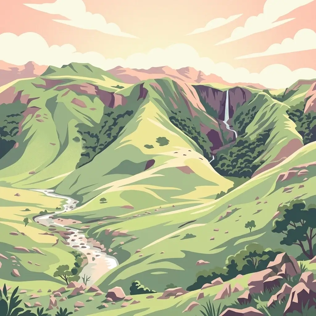
Chimanimani National Park: Geographic Atlas of Mozambique's Highland Protected Landscapes
Mountain wilderness and transfrontier conservation in Manica Province
Investigate the complex topography of Chimanimani National Park, where the rugged Chimanimani Mountains create a unique highland ecosystem. This data-driven overview highlights the park's role as a major protected territory in eastern Mozambique, documenting its mountain ridges, expansive buffer zones, and role in cross-border conservation geography.
- Area
- 656 km²
- Established
- 2020
- IUCN
- II
- Relief
- Mountain
National parkZimbabwe
About 162 km away#3 closest
South

Chimanimani National Park: Geographic Context and Mapped Protected Landscapes of Zimbabwe
A study of montane mountain terrain and transfrontier conservation geography.
Chimanimani National Park encompasses one of southern Africa's most distinctive mountain environments, where sharp ridges and deep valleys support exceptional plant endemism. The protected area forms a significant mountainous corridor within the Eastern Highlands, offering a structured look at how elevation influences local Afromontane ecology and broader landscape connectivity.
- Area
- 155 km²
- Established
- 1949
- Relief
- Mountain
- Climate
- Subtropical
National parkTete Province
About 261 km away#4 closest
North
Magoe National Park: A National Park in Tete Province for Geographic and Landscape Exploration
Discover the mapped boundaries and regional geography of this protected area.
Magoe National Park serves as a crucial national park within Tete Province, providing a defined space for exploring regional geography and landscape features. This entry focuses on understanding the park's protected status and its mapped territories, offering valuable context for atlas and geographic research. Examine its location and boundaries to appreciate its role as a protected natural landscape within Mozambique.
- Area
- 3,559 km²
- Established
- 2013
- Scope
- Terrestrial
- Water
- Major water bodies
Wildlife reserveNsanje District
About 284 km away#5 closest
Northeast
Mwabvi Wildlife Reserve: Mapping the Protected Landscapes of the Nsanje District
Geography, woodland terrain, and regional biodiversity.
Located in the southernmost Nsanje District of Malawi, Mwabvi Wildlife Reserve encompasses a unique convergence of dry Brachystegia woodland, sandstone hills, and open savanna grasslands. This protected area offers a deep look into the varied topographies of the Lower Shire region, providing a comprehensive understanding of the reserve's historic ecological importance and its current role in regional conservation.
- Area
- 135 km²
- Established
- 1953
- IUCN
- IV
- Relief
- Upland

National parkMalawi
About 296 km away#6 closest
Northeast
Lengwe National Park: Malawi's Protected Landscape Atlas and Geographic Context
Mapped natural terrain and protected area boundaries in Malawi.
Lengwe National Park offers a focused look into Malawi's protected natural areas. As a designated national park, its geographic significance is highlighted through mapped boundaries and an understanding of the surrounding regional terrain. This entry provides essential context for exploring its identity as a protected landscape within southeastern Africa, contributing to a broader atlas of conservation areas.
- Area
- 887 km²
- Established
- 1970
- IUCN
- II
- Climate
- Tropical
Wildlife reserveMalawi
About 321 km away#7 closest
Northeast
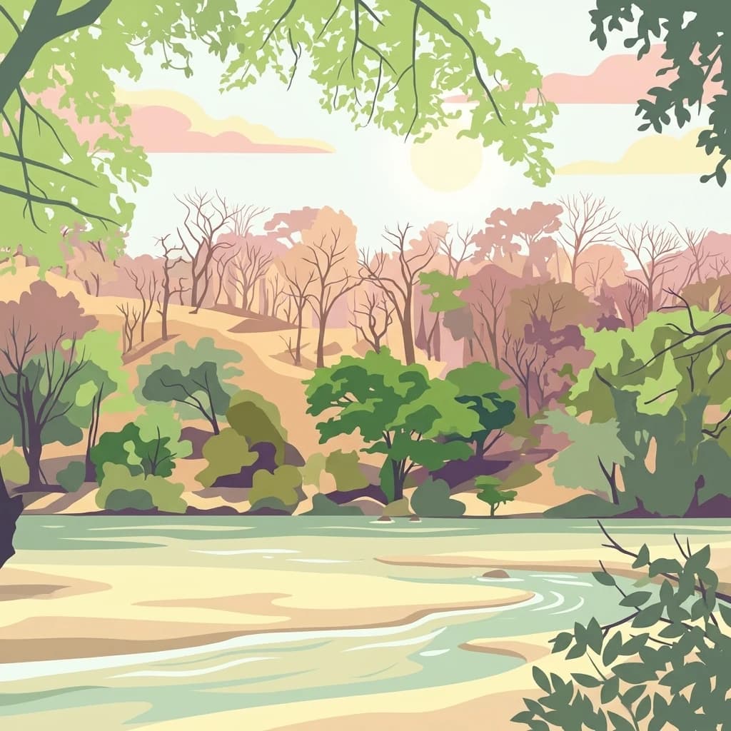
Majete Wildlife Reserve: Geographic Atlas and Protected Area Map of Southern Malawi
Savanna landscapes and Shire River valley ecology
Majete Wildlife Reserve represents a premier example of habitat restoration in the Shire River valley. Spanning 700 square kilometers of varied terrain, the reserve protects a mosaic of riparian forest and savanna that has been carefully managed to sustain Big Five wildlife. Gain insight into the regional geography, protected landscape boundaries, and conservation history of this essential Malawian wildlife sanctuary.
- Area
- 700 km²
- Established
- 1955
- IUCN
- IV
- Visitors
- 7K annual
National parkMozambique
About 357 km away#8 closest
South
Zinave National Park: A Mozambique National Park with Diverse Woodland and Savanna Landscapes
Explore its mapped terrain, riverine forests, and savanna ecosystems.
Zinave National Park in Mozambique is a significant protected area spanning 4,000 square kilometers. Its landscape comprises a rich variety of ecosystems, including miombo woodlands, mopane-dominated areas, acacia savannas, and distinct riverine forests along the Save River. This national park is strategically positioned within the Greater Limpopo Transfrontier Park, highlighting its importance for regional wildlife corridors and conservation geography. The terrain offers a unique insight into the transitional ecological zones of southern Africa, showcasing diverse natural habitats and mapping potential for its protected boundaries.
- Area
- 4,000 km²
- Established
- 1973
- IUCN
- II
- Relief
- Lowland
MoriAtlas Explorer
Continue Exploring Nyanga National Park's Mapped Geography and Atlas Context
Deepen your understanding of Nyanga National Park by examining its specific mapped boundaries and its placement within Zimbabwe's natural terrain. This detailed exploration supports structured discovery of protected areas and their surrounding geographic context. Continue your atlas journey by focusing on the specific landscape features and regional placement that define Nyanga National Park's unique protected land identity.
Browse next
Global natural geography
Explore related park routes
Explore MoriAtlas Global ParksBrowse All MoriAtlas ParksGlobal Park Map DiscoveryMoriAtlas: Browse All CountriesBrowse All MoriAtlas ContinentsNational Park Environment AtlasGrand Canyon National Park AtlasYellowstone National Park AtlasYosemite National Park Atlas and GeographySerengeti National Park AtlasGalápagos National Park Protected LandscapeBanff National Park Geography and AtlasKruger National Park Atlas EntryExplore Uluru-Kata Tjuta National Park GeographyPlitvice Lakes National Park AtlasFiordland National Park Protected LandscapeGreat Smoky Mountains National Park AtlasZion National Park Protected Landscape AtlasAfghanistan National Parks and Protected AreasAlbania National Parks and Protected AreasAlgeria National Parks and Protected AreasAmerican Samoa National Parks and Protected AreasAndorra National Parks and Protected AreasAngola National Parks and Protected AreasAntarctica National Parks and Protected AreasAntigua and Barbuda Park List