Mori Atlas logo
Park earthquake history

A comprehensive catalogue of historical seismic events associated with the regional park landscape.

Recorded Earthquake History and Seismic Data Collections for Őrség National Park in Hungary

Access a detailed collection of recorded earthquakes and seismic activity identified within the proximity of Őrség National Park. This catalogue provides transparent access to historical event data, including specific dates, magnitude readings, and epicentre distances, designed for those studying the regional geography and geological context of this protected landscape. Each record is sourced to provide a consistent look at past seismic occurrences near this historic frontier region.

Illustration of a lake bordered by grassy shore with reeds, forested hills, and mountains in the background

Hungary's western frontier park of forests, peat bogs, and watchtower heritage

Őrség National Park

Őrség National Park is Hungary's youngest national park, established in 2002 in the westernmost corner of the country along the Austrian border. The park covers 440 square kilometers spanning 44 settlements across the historical Őrség region, the Vendvidék area, and the Rába river valley. The region's name derives from the Hungarian word 'őrség' meaning 'watch post,' reflecting its historic role as a frontier territory where Magyars established watchtowers to defend the western gates of the Carpathian Basin. The landscape represents a harmonious blend of traditional small-scale farming and natural diversity, with rolling hills, beech and pine forests, peat bogs, and over 200 springs feeding numerous streams. The park falls within the subalpine climate zone, receiving 750-900 mm of annual precipitation, creating conditions that support biodiversity more typical of much higher elevations further west.

Location
Hungary
Park type
National park
Established
2002
Area
440 km²
Őrség National Park Protected Landscape

Filter Őrség National Park events by date and distance

Examine recorded earthquakes in the area near Őrség National Park

Őrség National Park extends over 440 km² of temperate Hungarian highland, with mountains, hills, valleys, majority forest, wetlands, and rivers. Associated earthquakes can be compared through their dates, strengths, depths, epicentres, and calculated distances while avoiding conclusions about park impacts, hazard, or recurrence.

Sort by
Magnitude
Location

This page describes catalogued earthquakes associated with the park by epicentre location and distance. It does not establish causation, assess current danger, or predict future earthquakes.

No earthquake records match the current filters

Park atlas

Move beyond Őrség National Park earthquake records

Find other protected destinations after Őrség National Park

Őrség National Park extends over 440 km² of Hungarian highland mountains, hills, valleys, majority forest, wetlands, and rivers. Continue through its related links to separate park earthquake catalogues without projecting Őrség’s landscape, response to shaking, hazard, or outlook onto them.
A watercolor painting showing a landscape with soft green rolling hills in the foreground and a range of purple, layered mountains in the distance, set against a pale yellow sky.
Protected areaTransdanubia
48 km away#1 closest

East

Lake Balaton: A Geographic Overview of Hungary’s Largest Freshwater Protected Area

Volcanic witness mountains and tectonic wetland systems

Lake Balaton represents a unique natural system at the edge of the Carpathian Basin. Defined by its shallow water, volcanic basalt peaks, and complex shoreline erosion patterns, the area supports a vast mosaic of oak forests, vineyard terraces, and protected reed-bed habitats within the Transdanubian region.

Area
600 km²
Established
1989
Relief
Mixed relief
Climate
Temperate
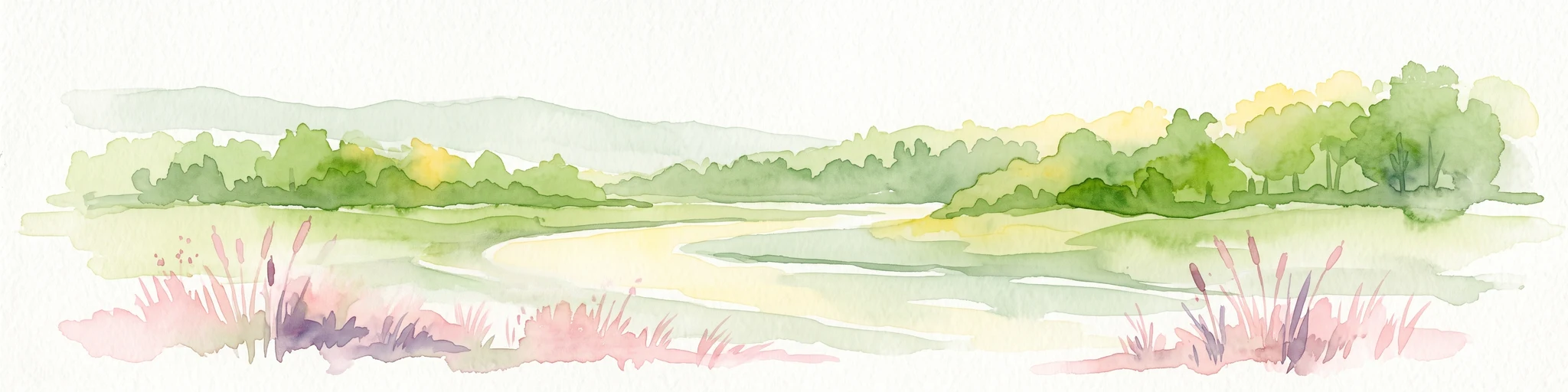
A horizontal watercolor painting showing a meandering river flowing through a lush green valley with light pink reeds in the foreground.
Protected areaAustria
About 57 km away#2 closest

Northwest

Lafnitztal Protected Area: River Valley Geography and Floodplain Landscapes

A preserved riparian corridor in southeastern Austria

The Lafnitztal protected area serves as a primary reference site for riverine conservation in Austria. It features a complex network of meandering river reaches, alluvial forests, and moorgrass meadows that bridge the gap between the Eastern Alps and the Pannonian basin, creating a unique study of Central European lowland geography.

Established
2002
Relief
Mixed relief
Climate
Temperate
Scope
Terrestrial
Watercolor illustration of a landscape with green hills, a body of water, and trees under a soft sky
National parkGyőr-Moson-Sopron
71 km away#3 closest

North

Fertő-Hanság National Park: Central European Wetland and Salt Lake Protected Area

Mapped Geographic Boundaries and Landscape Context

Fertő-Hanság National Park, situated in Győr-Moson-Sopron, Hungary, is a vital protected landscape renowned for its shallow salt lake and expansive marshlands. This page provides an atlas-focused discovery of its protected area, highlighting the unique interplay of reed beds and alkaline grasslands. Understand the park's geographic setting and its role as a significant wetland ecosystem for bird populations and specialized flora.

Area
235.88 km²
Established
1991
IUCN
II
Relief
Lowland
Watercolor painting showing a landscape with rolling terrain, water features, and distant mountains
National parkBurgenland
79 km away#4 closest

North

Neusiedler See-Seewinkel National Park: Protected Steppe Lake Landscape in Burgenland

Explore mapped wetland geography and birdwatching significance.

Neusiedler See-Seewinkel National Park showcases a rare steppe lake environment and extensive wetland habitats at the eastern edge of Austria, within the Burgenland region. This protected area is globally recognized for its exceptional avian diversity and the unique ecological mosaic formed by reed beds, salt marshes, and seasonal pools. Explore its mapped boundaries and distinctive Pannonian geography for a deep understanding of this vital European protected landscape.

Area
97 km²
Established
1993
IUCN
II
Relief
Lowland
Watercolor illustration of a landscape with rolling hills, scattered trees, and a winding river.
Protected landscapeCroatia
About 94 km away#5 closest

South

Medvednica Nature Park: Mapped Protected Landscape and Central European Karst Geography

Explore protected area boundaries and natural terrain.

Medvednica Nature Park stands as a significant protected landscape, renowned for its complex karst topography and extensive cave networks, including the notable Veternica cave. Located immediately north of Zagreb, Croatia, this park offers a rich tapestry of central European mountain geography, dominated by dense beech and oak forests. Its unique features, such as the karst fields and rounded ridges, contribute to its distinct identity within Croatia's protected areas. MoriAtlas maps its geography, providing context for its ecological value and recreational significance.

Established
1981
IUCN
V
Relief
Mountain
Climate
Temperate
Watercolor painting of a shallow lake scene with green reeds in the foreground, small trees on the shoreline, and rolling hills in the soft, hazy background.
Nature reserveAustria
About 95 km away#6 closest

North

Lake Neusiedl: Protected Nature Reserve and Pannonian Steppe Geography in Austria

An endorheic lake system and critical wetland sanctuary.

Lake Neusiedl is a distinct nature reserve representing a rare European steppe lake environment. Its geography includes a vast ring of Phragmites reed beds, saline wetlands, and surrounding lowlands that form a vital migratory corridor. The lake serves as a cornerstone for protected landscapes in Austria, blending natural marshland dynamics with a deeply storied cultural history.

Area
315 km²
Established
1993
Relief
Lowland
Climate
Temperate
National parkHungary
About 96 km away#7 closest

East

Balaton Uplands National Park: Mapped Volcanic Terrain and Protected Landscape Atlas

Explore Hungary's protected volcanic landscape and its regional geography.

Balaton Uplands National Park presents a compelling study in volcanic geography, showcasing dramatic 'witness mountains' and diverse terrains. As a protected national park in Hungary, it offers rich opportunities for atlas-style exploration of its mapped boundaries, unique basalt formations, and significant wetland areas. Discover the distinct geological narrative and landscape context of this protected region, providing a clear point of reference for understanding Hungary's natural heritage through structured geographic data.

Area
569.97 km²
Established
1997
IUCN
II
Relief
Highland
A stylized digital illustration of a mountainous landscape at sunset, featuring prominent steep limestone cliffs in the foreground and a vast valley extending into the distance under a warm-toned sky.
Nature reserveLower Austria
About 98 km away#8 closest

North

Hohe Wand Nature Park: Mapped Geography and Protected Landscapes in Lower Austria

A limestone plateau mountain at the Alpine-Pannonian transition

Located in Lower Austria, Hohe Wand Nature Park encompasses a distinct limestone plateau and dramatic southeastern cliffs. Its protected status reflects the convergence of Alpine and Pannonian geography, offering a unique opportunity to study karst geology, exposed cliff habitats, and the transition zone between high mountain ranges and the Vienna Basin lowlands.

Relief
Mountain
Climate
Temperate
Access
Easy access
Scope
Terrestrial
MoriAtlas Explorer

Continue Mapping Őrség National Park's Protected Terrain and Regional Geography

Deepen your understanding of Őrség National Park by exploring its mapped boundaries, unique subalpine environment, and the broader regional geography it inhabits. MoriAtlas provides structured data to help you connect this protected landscape to its surrounding natural context. Continue your atlas discovery of Hungary's frontier parks and their preserved terrains.