
Streams
Park geography
Detailed spatial analysis of regional terrain, elevation, and protected landscape features
Structured Geographic Profile and Mapped Boundaries of Oxley Wild Rivers National Park
Examine the physical geography of Oxley Wild Rivers National Park, situated in New South Wales, Australia. This profile details the park boundary span, covering 1452.33 square kilometers, alongside identified natural terrain features including forest, river systems, and canyons.
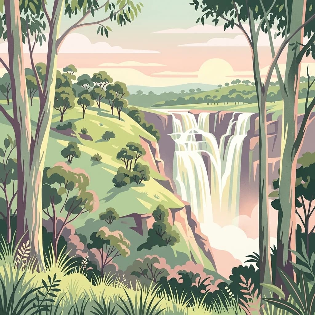
Rugged wilderness gorges and waterfalls on the Northern Tablelands
Oxley Wild Rivers National Park
Oxley Wild Rivers National Park is a sprawling wilderness area in the Northern Tablelands of New South Wales, Australia, protecting one of the state's most dramatic and ecologically significant landscapes. The park encompasses approximately 1,452 square kilometres of rugged gorges, steep escarpments, and extensive dry rainforest ecosystems that exist along the Great Escarpment between the tabular highlands and the eastern coast. Named in honor of explorer John Oxley, who traversed the region in 1818, the park stands as one of New South Wales largest protected wilderness areas and holds recognition as part of the Gondwana Rainforests of Australia World Heritage Site. The landscape is defined by a network of deep river gorges carved over millions of years, with at least fourteen waterfalls cascading through the park including the spectacular Wollomombi Falls, one of Australias highest waterfalls. The parks ecological significance is profound, with the dry rainforests representing a unique convergence point between moist eastern coastal flora and drier western species, supporting exceptional biodiversity including numerous rare and threatened plant and animal species.
- Location
- Australia
- Park type
- National park
- Established
- 1986
- Area
- 1,452.3 km²
Location overview
Documenting regional placement within New South Wales borders
Geographic Setting of Oxley Wild Rivers National Park in Australia
Oxley Wild Rivers National Park is located within the state of New South Wales in Australia. As an entirely terrestrial reserve, the protected area operates strictly within inland boundaries without any marine or coastal zones.
- Countries
- Australia
- Regions
- New South Wales
- Primary location
- New South Wales
- Geographic setting
- Inland
Boundary and coordinates
A 1,452.33 km² outline with geographic context
Oxley Wild Rivers National Park mapped boundary and area
Oxley Wild Rivers National Park's stored boundary geometry captures the breadth of its 1,452.33 km² protected extent. Its record gives only the total area, omitting both a land-versus-marine allocation and a perimeter measurement.
- Boundary area
- 1,536.8 km²
- Boundary perimeter
- 950.8 km
- Northernmost point
- 30.5282° S
- Southernmost point
- 31.2091° S
- Easternmost point
- 152.3496° E
- Westernmost point
- 151.7236° E
- Geographic centre
- 30.9195° S, 152.0523° E
- North–south span
- 75.5 km
- East–west span
- 59.9 km
Terrain and natural features
Explore recorded streams, rivers, and viewpoints across the landscape
Oxley Wild Rivers National Park Terrain and Natural Features
This protected area features a mixed mountain terrain classification encompassing multiple named streams and viewpoints located within its boundaries. Individual feature cards present names, types, and spatial relationships for recorded natural landmarks.
Selected named natural features
Streams
Rogues Gully
Viewpoints
Hoppys Lookout
Viewpoints
Marys View
Viewpoints
Main Falls Lookout
Streams
Double Gullies
Environmental setting
Temperate climate zones, major water systems, and mixed relief classifications
Oxley Wild Rivers National Park Environmental Setting and Physical Classifications
Recorded landscape features, habitat types, and forest cover serve as broad interpretive categories for reading the physical setting of Oxley Wild Rivers National Park. Associated classifications connect recorded environmental factors to relevant geographic records across the atlas.
- Relief
- Mixed relief
- Climate
- Temperate
- Water
- Major water bodies
- Forest cover
- Mostly forested
- Seasonality
- Seasonal
Landscape features
Mountains · Hills · Valleys · Plateau · Cliffs · Canyon · Forest · Woodland · Rivers · Waterfalls · Cave
Habitat types
Temperate broadleaf forest · Riverine habitat · Shrubland · Karst habitat
Park atlas
Trace the broader regional geography, comparing gorges, waterfalls, and protected landscapes across the Northern Tablelands.
Explore Related National Parks and Protected Areas Near Oxley Wild Rivers National Park
After exploring Oxley Wild Rivers National Park, discover other national parks and protected areas within Australia's dramatic Northern Tablelands region. This allows for detailed atlas-style comparison of diverse conservation landscapes, tracing the spread of gorges, waterfalls, and unique dry rainforest ecosystems across the Great Escarpment.
National parkNew South Wales
Park boundaries overlap#1 closest
Northeast

Carrai National Park National Park: Protected Landscape and Geographic Context in New South Wales
Discover mapped boundaries and regional terrain.
Carrai National Park represents a key protected area within the New South Wales region. This detail page provides a focused look at its national park designation, offering insights into its specific geographic location and the character of its natural landscape. Understand its role in the national atlas and how its protected boundaries contribute to the regional geography.
- Area
- 104 km²
- Established
- 1999
- IUCN
- II
- Relief
- Upland
National parkNew South Wales
Park boundaries overlap#2 closest
Northeast
Cunnawarra National Park: Exploring Its Protected Landscape and Mapped Geography
New South Wales National Park Atlas Entry
Cunnawarra National Park offers a specific lens through which to understand Australia's protected areas and regional geography. This detailed entry focuses on the park's identity as a designated national park, highlighting its mapped boundaries and its place within the broader landscape of New South Wales. Users can investigate the park's natural terrain and its contribution to conservation, making it a valuable point for structured geographic discovery.
- Area
- 158 km²
- Established
- 1999
- IUCN
- II
- Scope
- Terrestrial

National parkNew South Wales
Park boundaries overlap#3 closest
Southeast
Werrikimbe National Park National Park: Mapped Boundaries and Protected Landscape
Explore the geographic setting and regional context within New South Wales.
Werrikimbe National Park represents a critical element within the geographic tapestry of New South Wales, Australia. As a national park, it signifies a protected land offering valuable insights into regional terrain and landscape characteristics. Users exploring the MoriAtlas can investigate its mapped features, understand its protected status, and place it within the wider context of Australian natural geography and conservation landscapes.
- Area
- 333 km²
- Established
- 1975
- IUCN
- Ib
- Relief
- Mountain
National parkNew South Wales
Park boundaries overlap#4 closest
Southeast
Willi Willi National Park: A Protected Mountain Landscape in New South Wales
Explore ancient rainforests and dramatic terrain.
Willi Willi National Park represents a critical protected wilderness area on Australia's North Coast of New South Wales. Its landscape is defined by steep ridges, prominent peaks such as Mount Banda Banda, and ancient temperate rainforests, forming part of the internationally significant Gondwana Rainforests World Heritage Site. This park offers rich geographic context for understanding the diverse terrain and protected natural heritage of the region, making it a key destination for atlas-based discovery.
- Area
- 298.7 km²
- Established
- 1996
- IUCN
- Ib
- Relief
- Mountain
National parkNew South Wales
5.4 km away#5 closest
Southwest
Mummel Gulf National Park: New South Wales Protected Area & Mapped Gorge Landscape
Rugged escarpment terrain with diverse forest ecosystems.
Mummel Gulf National Park is a protected area in New South Wales, Australia, renowned for its dramatic V-shaped gorge carved by the Mummel River, reaching depths over 400 metres. This rugged escarpment landscape hosts a variety of vegetation communities, including tall open eucalypt, wet sclerophyll, snow gum forests, and subtropical rainforest patches. The park's geography is central to its ecological significance, providing habitat for numerous species and showcasing a distinct natural terrain within the New England region, ideal for geographic exploration.
- Area
- 122 km²
- Established
- 1999
- IUCN
- II
- Relief
- Mountain

National parkNew South Wales
6.1 km away#6 closest
South
Cottan-Bimbang National Park: A Protected Landscape in New South Wales
Explore its mapped boundaries and regional geographic context.
Delve into the protected landscape of Cottan-Bimbang National Park, a key national park situated in New South Wales, Australia. This page provides detailed insight into its geographic setting and mapped park boundaries, offering a clear understanding of its regional importance. Discover the distinct natural landscape characteristics that define Cottan-Bimbang National Park within the broader Australian atlas.
- Area
- 269 km²
- Established
- 1999
- IUCN
- II
- Climate
- Temperate

National parkNew South Wales
11 km away#7 closest
Northeast
New England National Park: Escarpment Landscape and Protected Area Discovery in New South Wales
Explore dramatic cliffs, ancient rainforests, and diverse ecosystems.
New England National Park represents a critical protected landscape on the eastern edge of New South Wales' Northern Tablelands. This area is characterized by its spectacular escarpment country, featuring impressive cliffs, rugged ridges, and deep valleys that cradle some of Australia's most botanically rich environments. As a designated national park, it preserves ancient ecosystems and offers unique opportunities for atlas-based geographic discovery of its mapped terrain and wilderness character.
- Area
- 673 km²
- Established
- 1937
- IUCN
- Ib
- Relief
- Mountain
National parkNew South Wales
12 km away#8 closest
North
Cathedral Rock National Park: New South Wales Protected Landscape and Geography
Explore mapped boundaries and regional natural context.
Delve into Cathedral Rock National Park, a designated national park located in New South Wales, Australia. This detailed view focuses on its protected landscape characteristics, offering insights into its mapped geographic features and its position within the broader regional atlas. Understand the park's terrain and its contribution to the natural landscape context of its location for comprehensive exploration.
- Area
- 89 km²
- Established
- 1978
- IUCN
- II
- Relief
- Mountain
MoriAtlas Explorer
Continue Exploring Oxley Wild Rivers National Park's Geographic Identity and Landscape
Further your understanding of Oxley Wild Rivers National Park by examining its precise geographic placement and the characteristics of its protected landscape. Delve into the mapped features and regional context that define this national park, providing essential data points for a comprehensive atlas exploration of Australian natural areas.
Browse next
Global natural geography
Explore related park routes
Explore MoriAtlas Global ParksBrowse All MoriAtlas ParksGlobal Park Map DiscoveryMoriAtlas: Browse All CountriesBrowse All MoriAtlas ContinentsNational Park Environment AtlasGrand Canyon National Park AtlasYellowstone National Park AtlasYosemite National Park Atlas and GeographySerengeti National Park AtlasGalápagos National Park Protected LandscapeBanff National Park Geography and AtlasKruger National Park Atlas EntryExplore Uluru-Kata Tjuta National Park GeographyPlitvice Lakes National Park AtlasFiordland National Park Protected LandscapeGreat Smoky Mountains National Park AtlasZion National Park Protected Landscape AtlasAfghanistan National Parks and Protected AreasAlbania National Parks and Protected AreasAlgeria National Parks and Protected AreasAmerican Samoa National Parks and Protected AreasAndorra National Parks and Protected AreasAngola National Parks and Protected AreasAntarctica National Parks and Protected AreasAntigua and Barbuda Park List