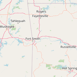
Why Ozark, St. Francis National Forest stands out
Ozark, St. Francis National Forest is especially known for its rugged Ozark Mountain scenery, extensive hardwood and shortleaf pine forests, and a deep network of trails and scenic byways. The Ozark unit is closely associated with the Buffalo National River corridor, Mulberry River, Big Piney Creek, Blanchard Springs Caverns, and Mount Magazine, Arkansas's highest peak. The forest system is also recognized for old-growth pine and oak stands on south-facing ridges, five designated wilderness areas, and the only public National Forest System access to the Mississippi River shoreline, which gives St. Francis a strongly different identity from the interior mountain forests of the Ozark unit.
Ozark, St. Francis National Forest history and protected-area timeline
The Ozark–St. Francis National Forest traces its administrative history to two separate creation events a half-century apart. The Ozark National Forest was established on March 6, 1908, by proclamation of President Theodore Roosevelt, making it one of the early federally protected forests in the southern United States. Its original purpose was to protect the forested uplands of the Ozark Mountains from further degradation and to anchor a system of public woodlands that could serve both conservation and local economic needs.
During the Great Depression, the forest's physical infrastructure expanded dramatically under federal employment programs. The Works Progress Administration and Civilian Conservation Corps constructed most of the original hiking trails, campgrounds, bridges, and other recreation features that still define the visitor experience. These programs also helped local communities through employment and left a lasting design legacy in stone, timber, and rustic architecture.
The St. Francis National Forest was created much later, on November 8, 1960, by proclamation of President Dwight D. Eisenhower. It brought Crowley's Ridge and portions of the Mississippi and St. Francis river lowlands into the National Forest System. Today the two units are managed together as Ozark–St. Francis National Forests, with forest headquarters in Russellville and ranger district offices scattered across Arkansas. Over the 20th and 21st centuries, the system has grown to include five designated wilderness areas, multiple National Scenic Byways, and a long list of wildlife management partnerships.
Ozark, St. Francis National Forest landscape and geographic character
The combined forest represents two strikingly different Arkansas landscapes. The Ozark portion dominates the system and is shaped by the rounded ridges, hollows, and steep slopes of the Ozark Mountains in northern Arkansas. Elevations rise to the state's high point, Mount Magazine, and fall away into deep river valleys carved by the Buffalo River, Mulberry River, Big Piney Creek, and other streams. The underlying geology produces karst features such as Blanchard Springs Caverns, as well as rocky bluffs, springs, and clear gravel-bed creeks typical of the Ozark uplift.
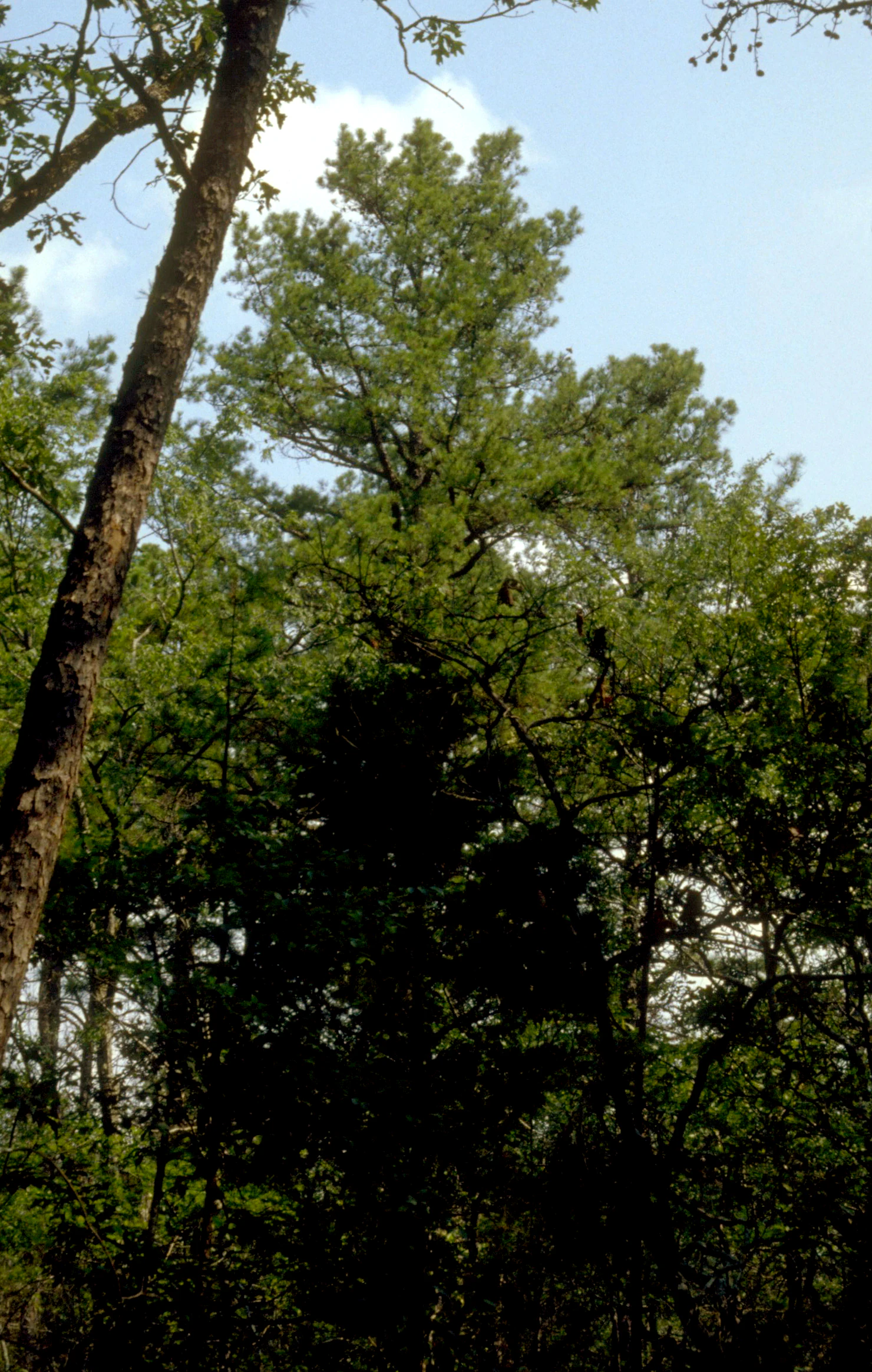
Vegetation on the Ozark landscape varies with slope, aspect, and elevation. Hardwood forests of oak and hickory cover most of the terrain, while shortleaf pine and mixed oak communities thrive on drier south-facing slopes and ridgetops, including the 11,000 acres of old-growth forest preserved in the southern portion of the forest. Streams meander through hollows and break over rocky bottoms, creating the kind of rugged scenery that draws hikers, canoeists, and anglers.
The St. Francis portion of the forest occupies a much gentler but equally distinctive setting along Crowley's Ridge, a narrow, loess-capped upland that rises above the surrounding Mississippi Alluvial Plain. Most of the forest sits on this ridge, but it also extends down into the flatter bottomlands along the Mississippi and St. Francis Rivers. The contrast between the high ridge, the adjacent lowland farmland, and the broad Mississippi floodplain gives the St. Francis unit a landscape character unlike the mountain forests of the Ozark unit.
Ozark, St. Francis National Forest ecosystems, habitats, and plant life
Ozark–St. Francis National Forest protects an unusually wide range of ecological communities for a single Arkansas forest system. The Ozark unit preserves large continuous blocks of oak-hickory hardwood forest, the most common forest type across the property, interspersed with shortleaf pine and oak woodlands on ridges and steep south-facing slopes. These dry, fire-influenced communities support old-growth stands dominated by shortleaf pine, post oak, blackjack oak, eastern black oak, white oak, and northern red oak. Combined, the forests are reported to contain more than 500 species of trees and woody plants, reflecting the botanical diversity generated by the Ozark topography and soils.
The St. Francis unit contributes an ecologically different suite of habitats, including Crowley's Ridge upland forests and bottomland forests along the Mississippi and St. Francis Rivers. These communities include bottomland hardwoods, ridge-top hardwoods, and riparian corridors, supporting fish, waterfowl, and other wildlife typical of the lower Mississippi flyway. Bear Creek Reservoir and Storm Creek Lake provide standing-water habitats that anchor local fishing and aquatic ecology.
Across both units, the forest system supports six federally listed endangered species, alongside a broader web of game species, songbirds, and raptors that benefit from the wilderness areas, old-growth stands, and large unbroken forest blocks. The mix of upland, ridge, river, and bottomland habitats within a single administrative unit gives Ozark–St. Francis notable ecological breadth within Arkansas.
Ozark, St. Francis National Forest wildlife and species highlights
The forest supports a wide range of terrestrial and aquatic wildlife, reflecting its mixed mountain, ridge, and bottomland habitats. The hardwood and pine forests of the Ozark unit provide habitat for white-tailed deer, wild turkey, black bear, squirrel, and a rich community of songbirds, while the river corridors of the Buffalo, Mulberry, and Big Piney support native fish, including smallmouth and other stream-dwelling species. The large, unbroken forest blocks and wilderness areas offer important refuges for species sensitive to fragmentation.
In the St. Francis unit, wildlife patterns shift toward those typical of the Mississippi Alluvial Plain and Crowley's Ridge. The Bear Creek Reservoir and Storm Creek Lake are central to the fishing experience, supporting largemouth bass, crappie, warmouth, and channel catfish populations, and the surrounding bottomlands provide habitat for waterfowl, wading birds, and other species associated with the lower Mississippi flyway. Public access to the Mississippi River shoreline here is wildlife-relevant as well, allowing bank fishing and shoreline observation in a stretch that is otherwise largely private.
Endangered species conservation is part of the broader wildlife picture, with six federally listed endangered species documented in the forest. While the specific species list is not fully detailed in this source, their presence emphasizes the conservation importance of the older forest stands, cave systems such as Blanchard Springs Caverns, and the riparian corridors that run through the property.
Ozark, St. Francis National Forest conservation status and protection priorities
Ozark–St. Francis National Forest is one of the more ecologically consequential national forests in the southern United States, both because of its size and because of the diversity of habitats it brings under a single management umbrella. The Ozark unit's 11,000 acres of old-growth forest are particularly significant, representing rare surviving examples of shortleaf pine and mixed oak communities on south-facing slopes and ridgetops in the southern portion of the forest. These old-growth stands provide structural habitat features that have largely disappeared from the surrounding private landscape.
Designated wilderness is another major conservation asset. Five wilderness areas lie within the Ozark National Forest as part of the National Wilderness Preservation System, including East Fork Wilderness, Hurricane Creek Wilderness, Leatherwood Wilderness, Richland Creek Wilderness, and Upper Buffalo Wilderness. These areas preserve the highest levels of protection within the forest and anchor populations of species that need large, undisturbed forest blocks.
The forest also holds conservation importance at the landscape scale. Six federally listed endangered species are documented across the property, and the system's position along major river corridors, including the Buffalo National River and the Mississippi River shoreline at St. Francis, gives it regional significance for water quality, riparian habitat, and migratory species. Together, the old-growth stands, wilderness, endangered species, and intact river and ridge habitats make Ozark–St. Francis an important stronghold for native biodiversity in Arkansas.
Ozark, St. Francis National Forest cultural meaning and human context
The cultural footprint of Ozark–St. Francis National Forest is deeply shaped by its Depression-era construction history. Much of the trail network, recreation infrastructure, and rustic stone-and-timber architecture across the forest was built under the Works Progress Administration and Civilian Conservation Corps, programs that put local laborers to work while creating public works of lasting value. This gives the forest a strong cultural continuity between early-20th-century conservation policy and the everyday experience of modern visitors.
The surrounding region also carries centuries of older cultural history, although it is not the central focus of the forest itself. The Ozark Mountains and Crowley's Ridge have long supported rural communities, agriculture, hunting, and timber work, and the forest's establishment in 1908 reshaped land use across northern Arkansas. Local partnerships with horsemen, for example at the Sorghum Hollow Horse Camp, continue traditions of multi-use forest recreation that link present-day visitors to earlier generations of forest users.
For travelers, the forest also serves as a cultural gateway to several Arkansas heritage attractions, including Blanchard Springs Caverns, the Buffalo National River, Mount Magazine, and the historic communities that anchor the forest's ranger districts, from Russellville and Clarksville to Mountain View, Jasper, and Marianna.
Top sights and standout views in Ozark, St. Francis National Forest
Ozark–St. Francis National Forest is anchored by the dramatic Ozark Mountain terrain of its main unit, including Mount Magazine, Blanchard Springs Caverns, and the rugged river valleys of the Buffalo, Mulberry, and Big Piney. The 165-mile Ozark Highlands Trail and the Sylamore Trail, the longest horse trail in the forest, give visitors long-distance options through some of the most scenic country in the Ozarks.
The system's smaller St. Francis unit offers a contrasting set of highlights, most notably the only public National Forest System shoreline on the Mississippi River and the fishing-centered recreation around Bear Creek Reservoir and Storm Creek Lake. Together with five designated wilderness areas, 11,000 acres of old-growth forest, six endangered species, and a string of National Scenic Byways, these features make Ozark–St. Francis one of the most varied and recreation-rich national forest systems in the American South.
Best time to visit Ozark, St. Francis National Forest
Ozark–St. Francis National Forest can be visited year-round, but seasonal conditions noticeably shape the experience. Spring is generally favorable for wildflower viewing, comfortable hiking temperatures, and active wildlife across the Ozarks, while early summer offers the most reliable conditions for cooling streams, swimming areas, and canoeing on rivers like the Buffalo and Mulberry.
Fall is widely considered one of the most scenic times in the Ozark unit, when hardwood forests shift color across ridges and hollows and scenic byways such as Scenic 7 and the Ozark Highlands Byway become especially striking. Winter in the forest is quieter and often cooler at higher elevations around Mount Magazine, though the St. Francis unit in eastern Arkansas tends to have milder winter conditions. Visitors should plan around mild to moderate regional weather rather than any single peak month.