Mori Atlas logo
Nearby park discovery

Map and explore the regional geography of natural landscapes surrounding this river valley

Protected Areas and National Parks Situated Near Podyjí National Park in the South Moravian Region

Discover the network of protected areas and natural terrains located within the regional context of Podyjí National Park. This geographic overview highlights neighboring wilderness and conservation sites to help visualize the distribution of protected landscapes throughout the South Moravian Region. Compare geographic boundaries and regional spread to understand the connectivity of this protected corridor.

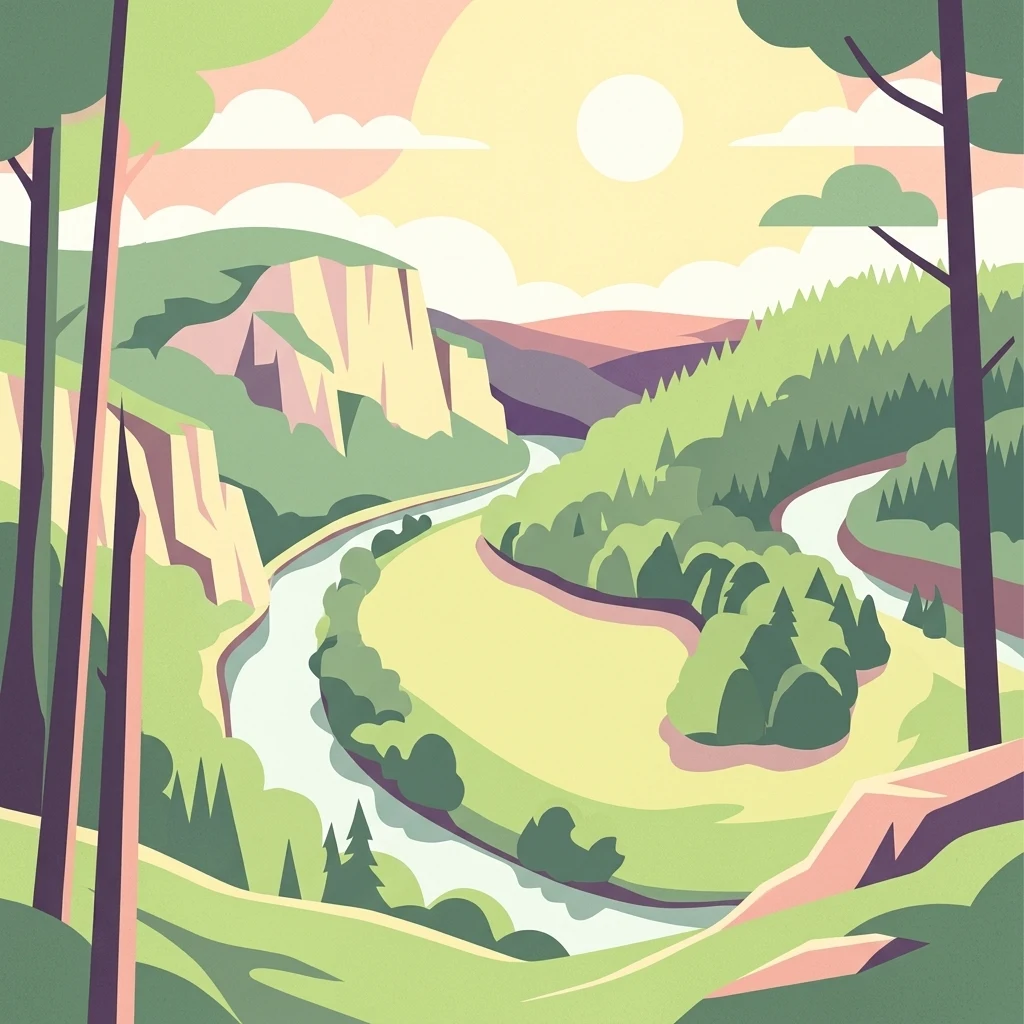
Stylized illustration of a winding river through a forested valley with cliffs and mountains under a bright sun

Czech Republic's smallest national park protecting a near-pristine river canyon valley

Podyjí National Park

Podyjí National Park is the smallest of the Czech Republic's four national parks, established in 1991 to protect one of Central Europe's most ecologically intact river valleys. Located in the South Moravian Region along the border with Austria, the park encompasses a dramatic 40-kilometer stretch of the Dyje River as it cuts through a deep canyon within the Bohemian-Moravian Highlands. The park's defining feature is its near-pristine state—a 42-kilometer stretch of essentially uninhabited river valley that represents the most well-preserved river corridor in the Czech Republic. Adjacent to Austria's Thayatal National Park, together they form a cross-border protected area sometimes called the Inter-National Park, sharing the unique geological and ecological character of the Dyje canyon.

Location
Czechia
Park type
National park
Established
1991
Area
63 km²
Podyjí National Park Protected Landscape
Regional park map

See the ranked park cluster in its geographic setting

Nearby parks around Podyjí National Park

This regional map shows the same 20 nearby parks ranked below around Podyjí National Park. Select a ranked marker to highlight that park’s boundary where boundary data is available.
Reference park: Podyjí National ParkRanked nearby parkSelected boundary: Podyjí National Park20 nearby parks shown
20 nearby parks

Explore surrounding regional geography, border contexts, and distance-ranked protected landscapes

Parks and Protected Areas Geographically Near Podyjí National Park

Examine geographically ranked protected areas surrounding Podyjí National Park to evaluate spatial separation, direction, and regional conservation patterns. Structured environmental data helps analyze how adjacent terrain variations relate to the protected river valley.
National parkAustria
Park boundaries overlap#1 closest

West

Thayatal National Park: Austria's Smallest Protected Landscape and Dramatic River Valley

Explore the mapped geography of a breakthrough valley and its rich biodiversity.

Thayatal National Park, Austria's smallest national park, offers a concentrated study in protected landscape discovery. Its core feature is the spectacular Thaya River breakthrough valley, a deep gorge cutting through gneiss terrain with steep, forested slopes. This page provides context for its mapped protected area, highlighting its exceptional biodiversity and its role as a transboundary conservation zone with the adjacent Czech Podyjí National Park. Understand the geographic setting and unique landscape character of this significant natural region.

Area
13.3 km²
Established
2000
IUCN
II
Relief
Mountain
A watercolor painting showing a soft, stylized landscape of rolling hills, a central body of water, and small shrubs in the foreground, all set against a white background.
Natural monumentSouth Moravian Region
About 12 km away#2 closest

Northeast

Mikulovické jezero Natural Monument: Geographic Boundaries and Wetland Atlas

A rare upland basin in the South Moravian Region

Mikulovické jezero represents a significant natural monument in the South Moravian Region. This unique upland basin, formed in a plateau depression, serves as a crucial refuge for specialized wetland species and rare halophilic vegetation. Explore the geographic footprint of this precipitation fed lake and its surrounding habitat structures within the Znojmo District.

Area
0.027 km²
Established
1999
IUCN
IV
Relief
Lowland
Nature reserveJihomoravský kraj
About 26 km away#3 closest

Northeast

Velký kopec Nature Reserve: A Detailed Map and Geography Overview for South Moravia

Protected dry grasslands and landscape terrain in Jihomoravský kraj

Velký kopec is a protected nature reserve in the Znojmo district, characterized by its rounded hill profile and rich acidophilous dry grassland habitat. This geographic overview highlights the site's role as a biodiversity refuge, its metamorphic geology, and the ongoing conservation efforts that sustain its rare steppe-like flora and butterfly populations within the Jevišovice hills.

Area
0.259 km²
Established
2023
IUCN
IV
Relief
Upland
Natural monumentJihočeský kraj
About 37 km away#4 closest

Northwest

Slavonické rybníky Protected Area: Geography and Wetland Habitat in South Bohemia

Analysis of pond-margin ecosystems and regional borderland terrain

Located near the historic town of Slavonice, Slavonické rybníky encompasses two interconnected fishpond systems that support fragile shoreline vegetation. This nature monument highlights the conservation of traditional Bohemian aquatic habitats and their importance for localized invertebrate populations within the larger mosaic of the Česká Kanada landscape.

Area
0.1 km²
Established
1995
IUCN
III
Water
Major water bodies
A watercolor painting showing a stylized, panoramic view of green rolling hills and evergreen trees under a soft, light-colored sky.
Nature reserveJihomoravský kraj
About 40 km away#5 closest

Northeast

Rybičková skála Nature Reserve: Paleontological and Geological Landscape in Jihomoravský kraj

A preserved Permian fossil site in the Boskovice Furrow

Rybičková skála acts as a vital reference point for Permian sedimentary studies in central Europe. The site features a 40 meter cliff exposing mudstones and siltstones rich in fish fossils. Framed by mixed oak-hornbeam forests and rural Moravian farmland, this compact reserve represents a convergence of deep geological time and traditional landscape character.

Area
0.001 km²
Established
1980
IUCN
III
Relief
Upland
Watercolor illustration of a peaceful landscape featuring soft-colored hills, green trees, and an open foreground on a white background.
Natural monumentKraj Vysočina
About 42 km away#6 closest

North

Na Kopaninách Natural Monument and Protected Meadow Geography in the Vysočina Region

A vital habitat for rare Bohemian-Moravian grassland flora.

Situated at an elevation of 550 to 570 meters, Na Kopaninách represents a critical fragment of traditional rural landscape. The area consists of a small mosaic of hay meadows and communal pasture, playing a central role in national rescue programs for rare gentian populations. Its north-facing terrain and nutrient-poor soils support a specialized botanical community that highlights the importance of small-scale habitat protection.

Area
0.01 km²
Established
1986
IUCN
IV
Relief
Lowland
Natural monumentKraj Vysočina
About 43 km away#7 closest

North

Urbánkův palouk Natural Monument: Protected Highland Landscape and Meadow Geography

Preserved peat meadow terrain in the Czech Republic.

Urbánkův palouk serves as a critical natural monument in Kraj Vysočina, protecting a rare fragment of wet and peat-influenced meadow habitat. Positioned on a highland plateau at 622 meters, this site functions as an ecologically dense refuge for threatened plant species within the traditional Czech-Moravian Highland landscape.

Area
0.01 km²
Established
1990
IUCN
IV
Relief
Lowland
A horizontal watercolor illustration showing rolling green hills and meadows against a soft, pale background, with trees and soft light.
Protected landscapeBrno-venkov District
About 43 km away#8 closest

Northeast

Přírodní park Bobrava Protected Landscape: Geography and Regional Mapping

South Moravian forest and river valley terrain

Přírodní park Bobrava represents an unbroken, forest-heavy landscape situated in the Brno-venkov District. Characterized by its deep river valleys and hilly ridges, this protected territory functions as a crucial natural mosaic of woodlands and meadows, providing a quiet highland retreat that remains distinct from the surrounding urban expansion of the city of Brno.

Area
30.9 km²
Established
1982
Relief
Upland
Climate
Temperate
Watercolor painting of a light-filled landscape featuring soft green trees and pale pinkish clouds against a white background.
Protected landscapeJihočeský kraj
About 46 km away#9 closest

Northwest

Přírodní park Česká Kanada: Protected Landscape and Bohemian Highland Geography

A diverse mosaic of boulder fields, peat bogs, and forest terrain.

Discover the rugged beauty of Přírodní park Česká Kanada, where geological history meets a rewilded border landscape. This protected area in Jihočeský kraj is defined by massive granite formations, dense beech forests, and an intricate network of wetlands and ponds, providing a significant sanctuary within the Bohemian-Moravian Highlands.

Area
283 km²
Established
1994
Relief
Upland
Climate
Temperate
A soft watercolor painting of a green, rolling grassland landscape with scattered trees and distant hills against a pale sky.
Natural monumentSouth Moravian Region
About 47 km away#10 closest

East

Na cvičišti Natural Monument: A Geography of Protected Grasslands in South Moravia

Mapped terrain of a significant Czech protected natural monument

Na cvičišti represents a specialized protected landscape in the South Moravian Region, defined by a fine-textured mosaic of dry, sun-exposed grasslands and shrubby successional stages. Once a military site, the area now functions as a vital refuge for steppic flora and diverse butterfly populations. Its mapped boundaries reveal an open, rolling topography that offers a distinct contrast to the surrounding agricultural and viticultural land use of the Mikulov district.

Area
0.545 km²
Established
2016
IUCN
IV
Relief
Lowland
Protected landscapeBrno-venkov District
About 51 km away#11 closest

Northeast

Přírodní park Údolí Bílého potoka: Protected Landscape in the South Moravian Region

Forested stream valley geography and upland terrain mapping

This protected area centers on the deep, forested valley of the Bílý potok stream. It features a rich mosaic of beech-fir and oak-pine forests on rocky slopes, representing a significant ecological corridor in the agricultural landscape northwest of Brno within the Brno-venkov District.

Area
40.46 km²
Established
1978
Relief
Upland
Climate
Temperate
Natural monumentJihomoravský kraj
About 53 km away#12 closest

Northeast

Velké Družďavy Natural Monument: Steppe Geography and Protected Landscapes in Jihomoravský kraj

Rare xerothermic habitats on Miocene sandy substrates

Velké Družďavy represents a vital, small-scale protected area in the Czech Republic. Defined by its south-facing slope and sandy Miocene substrate, the site supports significant populations of thermophilic plants. This natural monument illustrates the challenges of managing xerothermic steppe vegetation against encroaching forest succession, providing a distinct geographic focal point within the regional protected area network of South Moravia.

Area
0.014 km²
Established
1953
IUCN
IV
Relief
Upland
A soft watercolor illustration of a marshy landscape featuring light green grassy plains, patches of water, and a hazy treeline in the distance.
Nature reserveKraj Vysočina
About 54 km away#13 closest

Northwest

Rašeliniště Kaliště Nature Reserve: Geographic Overview and Mapped Protected Boundaries

Highland wetland habitat in the Kraj Vysočina region

Rašeliniště Kaliště is a compact but ecologically significant nature reserve characterized by its rare meadow-type peat bog habitat. Located in the Czech-Moravian Highlands, it functions as a primary site for protected moss species and wetland preservation, offering valuable geographic insight into the hydrologic features of the Vysočina landscape.

Area
0.119 km²
Established
1982
IUCN
IV
Relief
Lowland
Natural monumentJihomoravský kraj
About 54 km away#14 closest

Northeast

Skalky u Přehrady: Protected Natural Monument and Mapped Landscape in Jihomoravský kraj

Ecologically significant forest steppe and river gorge terrain

Skalky u Přehrady is a protected natural monument characterized by its rugged diorite cliffs and diverse plant communities. The site serves as a compact example of forest steppe mosaic situated along the Svratka River, offering significant insight into the regional geography and conservation status of rocky slopes within the South Moravian territory.

Area
0.013 km²
Established
1989
IUCN
IV
Relief
Upland
A soft watercolor illustration showing a landscape with rolling hills in the background, a cluster of green trees, and a rocky outcrop on the right side.
Natural monumentJihomoravský kraj
About 54 km away#15 closest

Northeast

Na Skalách Natural Monument: A Protected Limestone Landscape in the South Moravian Highlands

Geographic study of relict oak woodland and cliffside terrain.

Na Skalách stands as a vital natural monument within Jihomoravský kraj, preserving a steep, south-facing limestone slope along the Svratka River gorge. This compact area offers a window into thermophilic oak forest communities and calcareous rock vegetation, showcasing high botanical value and geological diversity despite its small surface area.

Area
0.01 km²
Established
1991
IUCN
IV
Relief
Upland
Natural monumentJihočeský kraj
55 km away#16 closest

Northwest

Vosecký rybník Natural Monument: Protected Wetland Geography in Jihočeský kraj

Rare drawdown-bottom flora and aquatic ecosystems

Located in the Javořická vrchovina highlands, Vosecký rybník is a protected natural monument known for its specialized pond-bottom vegetation. The site serves as a vital ecological corridor for threatened species within the broader mosaic of historic Bohemian fishpond landscapes.

Area
0.071 km²
Established
2022
IUCN
III
Relief
Upland
A horizontal watercolor painting showing rolling green hills with small patches of trees under a soft, pale sky.
Natural monumentJihomoravský kraj
About 57 km away#17 closest

Northeast

Medlánecké kopce Natural Monument: Exploring Protected Steppe Habitats in Northern Brno

A rare mosaic of dry grasslands and rocky outcrops in Jihomoravský kraj

Medlánecké kopce preserves a critical landscape of thermophilic flora and insect communities on the edge of the Brno basin. The site is noted for its xerothermic vegetation, including the large-flowered pasqueflower, which thrives on its unique metabasite and loess soil composition. This protected area offers a look at how specialized steppe ecosystems persist within a heavily developed regional environment.

Area
0.118 km²
Established
1988
IUCN
IV
Relief
Upland
A soft watercolor painting showing a rolling landscape with hills, scattered trees, and rocky outcrops, rendered in pastel greens and pinks.
Natural monumentBrno
About 57 km away#18 closest

Northeast

Medlánecká skalka Natural Monument: Mapped Protected Landscapes and Geography in Brno

A rare urban-adjacent steppe and rocky habitat site

Medlánecká skalka is a protected natural monument located in the Medlánky district of Brno, Czech Republic. Spanning a small but significant rocky slope, this site preserves thermophilous dry-grassland communities and essential habitats for rare flora like the Pulsatilla grandis. Its unique topography and skeletal soil composition make it an important geographic reference point for understanding steppe-like ecosystems in the South Moravian region.

Area
0.003 km²
Established
1999
IUCN
IV
Relief
Upland
A minimalist watercolor illustration showing rolling green hills and a few trees against a pale yellow and pink background.
Protected landscapeCzechia
About 58 km away#19 closest

Northeast

Přírodní park Baba: A Detailed Geographic Overview of this Czech Protected Landscape

Forested ridges and centuries-old oak woodland topography

Přírodní park Baba is a protected area in Czechia characterized by a continuous six-kilometer ridge rising above the surrounding urban landscape of Brno. This site is defined by its deep-rooted, century-old sessile oak stands and an intricate mosaic of meadows supporting rare orchid species and diverse avian life. Its geological foundation, composed of Paleozoic diorite, supports a resilient ecosystem that serves as a vital natural corridor between Brno and Kuřim.

Area
8.89 km²
Established
1990
Relief
Mountain
Climate
Temperate
Watercolor painting of a forested hillside with evergreen trees and distant rolling purple mountains.
Protected landscapeJihlava District
About 59 km away#20 closest

Northwest

Přírodní park Čeřínek: Map and Protected Landscape Geography of the Jihlava District

Highland forests, granite outcrops, and peatland ecosystems

Located in the Jihlava District, Přírodní park Čeřínek offers a detailed look at the highland terrain of the Křemešnická vrchovina. The area features a mix of dense spruce woodland, prominent rocky outcrops including Přední skála, and the significant Hojkovské rašeliniště peat bog. This protected landscape serves as a regional anchor for understanding the ecological and topographical character of the Czech-Moravian Highlands.

Area
23 km²
Established
1985
Relief
Upland
Climate
Temperate
Distance methodology

Geographic measurements, not driving distances

How nearby park distances are calculated

Distances use park boundaries whenever the available geometry allows it. When one or both boundaries are missing, the mapped park locations provide a clearly labelled estimate. Every value represents straight-line geographic separation and does not use roads or routing.

Boundary distance

Calculated between the nearest points of both park boundaries.

Location-to-boundary estimate

Estimated from one mapped park location to the nearest boundary of the other park.

Mapped-location estimate

Estimated between the mapped locations of both parks.

MoriAtlas Explorer

Continue Exploring Podyjí National Park's Geographic and Landscape Context

Deepen your understanding of Podyjí National Park by navigating its detailed geographic features and protected landscape elements within MoriAtlas. Examine the park's unique valley terrain, habitat diversity, and its position within the South Moravian Region's mapped geography. This offers a structured approach to discovering its ecological significance and regional importance beyond surface-level details.