
Mori Atlas logo
Park earthquake history

A catalogue of historical seismic events associated with this alpine landscape through proximity data.

Recorded Earthquake History and Seismic Records Near Popo Agie Wilderness in Wyoming

Explore a collection of recorded earthquakes that have occurred in the vicinity of Popo Agie Wilderness. This dataset tracks historical seismic events identified by their epicentre distance from this section of the Wind River Range. Users can examine event dates, magnitudes, and depths for each record sourced from USGS data. This resource provides a transparent look at the historical seismic activity associated with the region without offering predictions or hazard assessments.

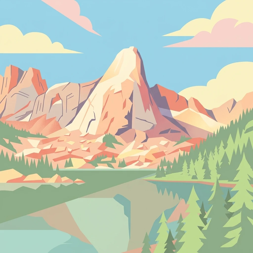
A graphic illustration showing a large, central granite mountain peak reflected in a calm, still lake, framed by pine trees on the right and rolling clouds above.

Alpine wilderness of the southern Wind River Range, anchored by the granite grandeur of the Cirque of the Towers.

Popo Agie Wilderness

Popo Agie Wilderness is a federally designated wilderness area within Shoshone National Forest in west-central Wyoming, covering roughly 101,870 acres on the eastern slope of the continental divide in the southern Wind River Range. The landscape is predominantly subalpine and alpine, rising from around 8,400 feet at its lowest elevations to summits that exceed 13,000 feet, including Wind River Peak, the tallest point in the wilderness at 13,192 feet. The wilderness is a part of the broader Greater Yellowstone Ecosystem, one of the largest intact temperate ecosystems remaining in the contiguous United States. More than 300 lakes and numerous tributaries of the Wind River drain through its valleys, supporting dense conifer forests of lodgepole pine and Douglas fir at lower elevations and stands of Engelmann spruce and subalpine fir as the terrain climbs toward the tree line. Popo Agie is best known for the Cirque of the Towers, a dramatic amphitheater of granite spires and sheer cliffs that draws climbers from across the world. Beyond its iconic climbing terrain, the wilderness offers a remote and motor-free backcountry experience shaped by its rugged peaks, alpine basins, glacial lakes, and the seasonal presence of large mammals and rare fish species native to the Yellowstone region.

Location
United States of America
Park type
Protected area
Established
1984
Area
412.3 km²
Highest point
4,021 m
Popo Agie Wilderness Geography

Filter Popo Agie Wilderness events by date and distance

Examine recorded historical earthquakes near Popo Agie Wilderness

Popo Agie Wilderness rises from 2,600 to 4,021 metres across 412.3 km² of alpine mountains, cliffs, forest, lakes, rivers, and islands in the United States. Compare linked earthquakes through their source facts and park distances, not as proof of high-country effects, present danger, or recurrence.

Sort by
Magnitude
Location

This page describes catalogued earthquakes associated with the park by epicentre location and distance. It does not establish causation, assess current danger, or predict future earthquakes.

No earthquake records match the current filters

Park atlas

Move beyond Popo Agie Wilderness earthquake records

Find other protected destinations after Popo Agie Wilderness

Popo Agie Wilderness rises from 2,600 to 4,021 metres across 412.3 km² of United States mountains, cliffs, forest, lakes, rivers, and islands. Related park catalogues offer independent seismic histories and do not inherit this high-country exposure, consequences, hazard, or forecast.
Watercolor painting of a peaceful mountain valley landscape, showing a small winding stream in the foreground, grassy meadows, clusters of pine trees, and rolling mountain peaks in a soft, sunset-colored sky.
Protected landscapeWyoming
Park boundaries overlap#1 closest

North

Shoshone National Forest: A Comprehensive Map and Geography of America's Oldest National Forest

Rugged wilderness and glacial peaks in Wyoming

Discover the immense geographic scale of Shoshone National Forest, which protects a diverse landscape ranging from sagebrush valleys to 13,000-foot granite summits. This atlas overview details its role within the Greater Yellowstone Ecosystem and its expansive, federally designated wilderness areas, offering a clear perspective on its volcanic and glacial terrain.

Area
9,992.69 km²
Established
1891
IUCN
VI
Visitors
500K annual
A soft, minimalist watercolor painting of a serene lake nestled among rolling hills under a gentle, pastel-toned sky.
Protected landscapeWyoming
16 km away#2 closest

Northwest

Fitzpatrick Wilderness: Exploring the Rugged Protected Landscapes of Western Wyoming

A core alpine environment within the Wind River Range.

Fitzpatrick Wilderness represents one of the most uncompromisingly wild segments of the Wind River Range, featuring persistent glaciers, dramatic U-shaped valleys, and high granite spires. This protected landscape offers a deep look into the alpine geography of Wyoming, preserved under the Wilderness Act to maintain its rugged character, remote glacial cirques, and intricate mountain ecosystems.

Area
803.4 km²
Established
1976
IUCN
Ib
Relief
Mountain
A watercolor painting showing a stylized landscape with a light blue lake, soft green rolling hills, and hints of red rock cliffs against a white background.
Protected areaWyoming
129 km away#3 closest

South

Flaming Gorge National Recreation Area: Protected Reservoir and Canyon Landscape Atlas

High desert geography and canyon terrain on the Wyoming and Utah border.

Flaming Gorge National Recreation Area features a complex geography where the Green River carves through vivid red sandstone cliffs. This protected area integrates large-scale reservoir management with mountain forest slopes and diverse river corridors, creating a unique mapped landscape that reflects the geologic character of the intermountain West.

Area
839.17 km²
Established
1968
Relief
Upland
Climate
Arid
National parkUnited States of America
133 km away#4 closest

Northwest

Grand Teton National Park: Protected Landscape and Geographic Atlas Exploration

Explore the mapped terrain and regional park geography.

Grand Teton National Park is a protected landscape offering rich geographic discovery opportunities within the United States of America. This detailed entry facilitates an atlas-style exploration of its mapped boundaries, the surrounding regional geography, and its identity as a significant national park. Understand the specific landscape context and discover its placement within the broader natural terrain of North America.

Area
1,300 km²
Established
1929
IUCN
II
Visitors
2.8M annual
Wildlife reserveWyoming
150 km away#5 closest

Northwest

Jedediah Smith Wilderness: Protected Alpine Terrain and Teton Range Geography

Glacially sculpted high-country basins in western Wyoming

Spanning the western face of the Teton Range, the Jedediah Smith Wilderness serves as a federally protected buffer for iconic mountain landscapes. The region features dramatic cirques, hanging valleys, and dense subalpine forest habitats, forming an essential, roadless link within the broader Greater Yellowstone Ecosystem. Explore the terrain features and structural geography that define this remote high-country wilderness area.

Area
499.59 km²
Established
1984
IUCN
Ib
Relief
Mountain
National parkWyoming
151 km away#6 closest

Northwest

Yellowstone National Park: US National Park Protected Landscape & Geographic Atlas

Explore mapped boundaries and regional natural landscape context.

Yellowstone National Park represents a significant protected landscape within Wyoming, designated as a US national park. This entry offers detailed insight into its geographic scope, mapped boundaries, and the unique natural terrain that defines it. Understand its role in regional geography and discover its protected-area identity through a structured atlas exploration, providing context for its conservation landscape.

Area
8,983.18 km²
Established
1872
IUCN
II
Visitors
4.7M annual
Wildlife reserveUtah
215 km away#7 closest

Southwest

Mount Naomi Wilderness: Mapping High-Altitude Protected Landscapes in Northern Utah

Alpine summits, forested ridges, and subalpine lake basins

Situated in the Bear River Range of northern Utah, Mount Naomi Wilderness stands as a protected corridor of rugged mountain terrain. This wilderness area preserves a diverse high-elevation environment, spanning from the steep western canyons of the Logan River to the prominent summits of Naomi Peak. It serves as a vital point of geographic interest for understanding the subalpine ecosystems and wilderness boundaries within the Uinta-Wasatch-Cache National Forest.

Area
180.18 km²
Established
1984
IUCN
Ib
Relief
Mountain
Protected landscapeMontana
222 km away#8 closest

North

Bighorn Canyon National Recreation Area: Maps and Protected Landscape Geography

A reservoir-anchored protected area in the Montana high desert

Defined by its striking contrast between deep blue reservoir water and sheer canyon walls, Bighorn Canyon National Recreation Area protects an essential arid landscape in the Mountain West. This region encompasses portions of the Pryor Mountains and the historic Bad Pass Trail, offering a window into the intersection of vast high-desert plains and rugged mountain terrain.

Area
486.82 km²
Established
1966
Visitors
217.7K annual
Relief
Upland
MoriAtlas Explorer

Explore the Protected Landscapes of the Popo Agie Wilderness

Deepen your understanding of the Popo Agie Wilderness through its mapped alpine geography and high-country terrain. Discover how this massive protected area in the Wyoming Wind River Range contributes to the broader Greater Yellowstone Ecosystem and shapes the surrounding mountain landscape.

Global natural geography