
Viewpoints
Park geography
Detailed analysis of terrain relief, hydrological features, and land area measurements.
Structured Geographic Profile and Mapped Boundaries of Purnululu National Park, Western Australia
This geographic profile covers the 2397.23 square kilometer extent of Purnululu National Park in Western Australia. The dataset documents mountain terrain reaching 578 meters, alongside karst habitats, arid climate zones, and a network of peaks, canyons, and rivers contained within the park boundary.
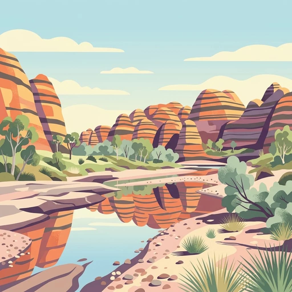
Ancient sandstone domes of the Bungle Bungle Range in remote East Kimberley
Purnululu National Park
Purnululu National Park is a World Heritage Site in the East Kimberley region of Western Australia, protecting one of Australia's most visually dramatic landscapes. The park is renowned for the Bungle Bungle Range, an extraordinary formation of beehive-shaped sandstone domes rising 250 meters above the surrounding semi-arid savannah grasslands. These distinctive cone karst towers display striking orange and grey banding created by alternating layers of iron-oxidized sandstone and cyanobacterial crust, formed over approximately 20 million years of erosion. The 239,723-hectare park was established in 1987 and gained World Heritage status in 2003, recognized for its outstanding geological significance and exceptional natural beauty. The landscape includes deep gorges and slot canyons that dissect the ancient Devonian sandstone plateau, creating a remote wilderness area of global scientific and aesthetic importance.
- Location
- Australia
- Park type
- National park
- Established
- 1987
- Area
- 2,397.2 km²
- Highest point
- 578 m
Location overview
Administrative and Geographic Placement in Western Australia
Geographic Profile of Purnululu National Park in Australia
Purnululu National Park is located within Western Australia, positioned as a terrestrial protected area in Australia. Administrative records confirm its non-transboundary status with no island, coastal, or marine boundaries.
- Countries
- Australia
- Regions
- Western Australia
- Primary location
- Western Australia
- Geographic setting
- Inland
Boundary and coordinates
Interactive boundary geometry and calculated spatial metrics
Purnululu National Park Boundary Map and Spatial Geography
The mapped outline provides spatial context for the protected area and its surrounding terrain. Accompanying measurements detail the total land area, coordinate limits, and geographic spans derived from boundary data.
- Boundary area
- 2,438.3 km²
- Boundary perimeter
- 227.4 km
- Northernmost point
- 17.1755° S
- Southernmost point
- 17.7483° S
- Easternmost point
- 128.9109° E
- Westernmost point
- 128.2216° E
- Geographic centre
- 17.4485° S, 128.5465° E
- North–south span
- 63.4 km
- East–west span
- 73.2 km
Elevation and terrain
Explore recorded peaks, streams, and physical terrain relief features
Purnululu National Park Elevation and Mountain Terrain Geography
Elevation summary metrics detail the high point of five hundred seventy-eight meters across this mountain relief zone. Associated natural feature cards record names, classifications, and spatial relationships within the protected area.
- Maximum elevation
- 578 m
- Highest point
- 578 m
Selected named natural features
Streams
Osmond Creek
Waterfalls
Black Rock Waterfall
Peaks
Bungle Bungle Range
578 m
Streams
Buchanan Creek
Peaks
Mount Buchanan
Environmental setting
Arid climate zones, mountain relief, and sparse forest classifications
Purnululu National Park Environmental Setting and Landscape Classifications
Recorded landscape features, savanna habitats, and arid climate classifications offer structured interpretations of the physical terrain. Connected categories link directly to corresponding atlas destinations across the protected area.
- Relief
- Mountain
- Climate
- Arid
- Water
- Minor water
- Forest cover
- Sparse forest
- Seasonality
- Strongly seasonal
Landscape features
Mountains · Cliffs · Canyon · Grassland · Karst
Habitat types
Savanna · Karst habitat
Park atlas
Broaden your exploration beyond Purnululu National Park to nearby protected areas, tracing regional geography and conservation landscapes.
Explore Other National Parks and Protected Areas Surrounding Purnululu National Park
Continue your park discovery by browsing other protected areas, national parks, and conservation landscapes situated near Purnululu National Park in the expansive East Kimberley region. Compare diverse geological features, regional ecosystems, and significant protected territories to deepen your understanding of Western Australia's unique natural heritage.
Nature reserveWestern Australia
About 94 km away#1 closest
Northwest

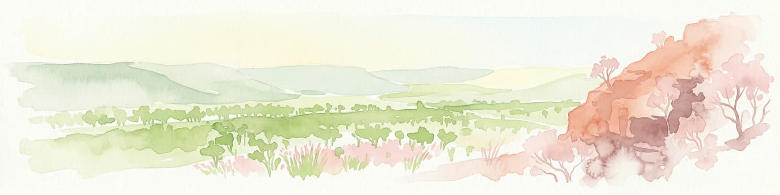
Marion Downs Sanctuary: Protected Kimberley Nature Reserve and Tropical Savanna Map
Explore conservation geography and sandstone terrain in Western Australia.
Marion Downs Sanctuary is a expansive nature reserve located in the heart of the Kimberley region of Western Australia. The protected territory includes vast tropical savanna woodlands and rugged sandstone gorges linked to the Fitzroy River system. Gain insights into the mapped boundaries and natural terrain that make this location a vital refuge for diverse species within the broader Australian outback.
- Area
- 2,890 km²
- Established
- 2008
- Relief
- Upland
- Climate
- Tropical
National parkNorthern Territory
117 km away#2 closest
Northeast
Judbarra National Park: Northern Territory National Park Protected Landscape and Geography
Discover its mapped terrain and ancient Indigenous rock art.
Judbarra National Park is a major national park in Australia's Northern Territory, recognized for its extensive Indigenous rock art, which constitutes a significant artistic province. Spanning a vast area with two distinct geographic sections, the park showcases a transition between tropical and semi-arid ecosystems. Users can explore its rugged terrain, sandstone escarpments, and mapped park boundaries to understand its unique regional geographic context and rich cultural heritage.
- Area
- 13,004.1 km²
- Established
- 1990
- IUCN
- II
- Relief
- Mixed relief

National parkNorthern Territory
133 km away#3 closest
North
Keep River National Park: Northern Territory National Park Atlas and Mapped Landscape
Explore the dramatic sandstone terrain and protected boundaries of this Top End gem.
Keep River National Park in Australia's Northern Territory is a protected landscape of immense geological and cultural significance. This park is best known for its striking sandstone formations, the scenic Keep River Gorge, and its importance as habitat for endangered species like the Gouldian finch. Its rugged terrain offers a distinct view into the Top End's natural heritage, providing rich context for understanding protected areas and regional geography through mapped exploration.
- Area
- 574.37 km²
- Established
- 1981
- IUCN
- II
- Visitors
- 23.2K annual

National parkWestern Australia
About 155 km away#4 closest
North
Mirima National Park: Exploring Its Protected Landscape and Regional Geography in Western Australia
Discover mapped boundaries and the national park's place in regional context.
Mirima National Park is a significant protected area offering insights into the natural landscapes of Western Australia. This page provides a detailed view of its protected landscape identity and its geographic position within the larger atlas of Australian conservation lands. Explore the mapped boundaries and understand how Mirima National Park contributes to the regional geography and the broader framework of protected areas.
- Area
- 20.68 km²
- Established
- 1982
- IUCN
- II
- Access
- Easy access
National parkWestern Australia
About 169 km away#5 closest
Southwest
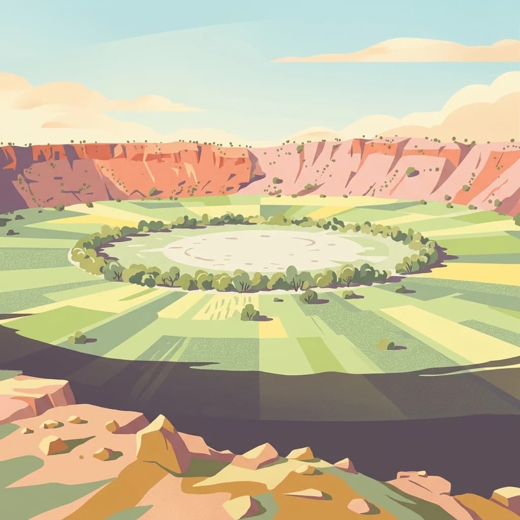
Wolfe Creek Crater National Park: Protected Landscape and Geographic Atlas Entry
Explore mapped protected boundaries and regional geography.
Access detailed geographic information for Wolfe Creek Crater National Park, a significant national park in Western Australia. This entry focuses on the park's protected landscape identity, its precise mapped boundaries, and its contribution to the regional geography of Australia. Understand its unique setting within the vast Western Australian landscape, aiding in atlas-based discovery and geographic context.
- Area
- 14.6 km²
- Established
- 1969
- IUCN
- III
- Relief
- Lowland
National parkWestern Australia
201 km away#6 closest
West
Warlibirri National Park: Western Australia's Protected Landscape and Geographic Atlas Entry
Discover mapped boundaries and regional context within Western Australia.
Warlibirri National Park represents a distinct protected landscape within the vast geography of Western Australia. As a designated national park, it offers a specific point of atlas-driven exploration, detailing its geographic scope and protected status. This entry focuses on the core elements of Warlibirri National Park's identity for users seeking structured geographic and mapped landscape information.
- Area
- 158.95 km²
- Established
- 2021
- Scope
- Terrestrial
- Water
- Major water bodies
Nature reserveWestern Australia
About 225 km away#7 closest
West
Mornington Sanctuary: Protected Nature Reserve and Kimberley Landscape Atlas
Exploring sandstone ranges and tropical river systems
Mornington Sanctuary serves as a vital protected area in Western Australia, known for its rugged sandstone mesas and extensive tropical savanna woodland. The reserve provides a comprehensive view of the Fitzroy River catchment, incorporating deep gorges, diverse bird habitats, and seasonal wetlands within its large-scale conservation boundaries.
- Area
- 3,582 km²
- Established
- 2001
- Relief
- Mountain
- Climate
- Tropical
National parkWestern Australia
About 251 km away#8 closest
West
Bunuba National Park National Park: Mapped Protected Landscape and Regional Geography in Western Australia
Explore its protected land, geographic spread, and mapped boundaries.
Bunuba National Park is a protected area designated as a national park, situated in the vast region of Western Australia. This entry facilitates discovery of its mapped boundaries and the surrounding natural landscape, offering a specific geographic context. Understand how this protected land contributes to the regional atlas of Western Australia, providing a factual representation of its protected area status and landscape character for geographic exploration.
- Area
- 2,200 km²
- Established
- 2023
- Scope
- Terrestrial
- Water
- Major water bodies
MoriAtlas Explorer
Continue exploring Purnululu National Park's geographic and landscape context
Deepen your understanding of Purnululu National Park's protected landscape and its position within Western Australia's geography. By examining its mapped boundaries and regional context, you can build a richer picture of this significant national park. Continue your atlas exploration to comprehend the park's terrain and its specific place in the Australian landscape.
Browse next
Global natural geography
Explore related park routes
Explore MoriAtlas Global ParksBrowse All MoriAtlas ParksGlobal Park Map DiscoveryMoriAtlas: Browse All CountriesBrowse All MoriAtlas ContinentsNational Park Environment AtlasGrand Canyon National Park AtlasYellowstone National Park AtlasYosemite National Park Atlas and GeographySerengeti National Park AtlasGalápagos National Park Protected LandscapeBanff National Park Geography and AtlasKruger National Park Atlas EntryExplore Uluru-Kata Tjuta National Park GeographyPlitvice Lakes National Park AtlasFiordland National Park Protected LandscapeGreat Smoky Mountains National Park AtlasZion National Park Protected Landscape AtlasAfghanistan National Parks and Protected AreasAlbania National Parks and Protected AreasAlgeria National Parks and Protected AreasAmerican Samoa National Parks and Protected AreasAndorra National Parks and Protected AreasAngola National Parks and Protected AreasAntarctica National Parks and Protected AreasAntigua and Barbuda Park List