Mori Atlas logo
Park earthquake history

Review historical seismic event data mapped by proximity to this protected wetland in Pas-de-Calais.

Recorded Earthquake History for the Marais de Cambrin, Annequin, Cuinchy et Festubert Regional Nature Reserve

This historical catalogue provides a structured record of seismic events identified within the vicinity of the Marais de Cambrin, Annequin, Cuinchy et Festubert Regional Nature Reserve. Users can browse event dates, magnitudes, and epicentre distances calculated relative to the park boundaries. The records serve as a research reference for seismic occurrences in this northern French landscape without providing hazard assessments or predictive outlooks.

A flat-style digital illustration depicting a calm wetland scene with reflective water, lily pads, reeds, and surrounding forest vegetation under a soft sky.

A restored alluvial wetland mosaic in the Lys valley, sheltering rare peat-rich habitats and rich waterbird life.

Marais de Cambrin, Annequin, Cuinchy et Festubert Regional Nature Reserve

The Marais de Cambrin, Annequin, Cuinchy et Festubert Regional Nature Reserve is a 74 hectare protected wetland set in the floodplain of the river Lys, in the Pas-de-Calais department of northern France. It preserves a remarkable fragment of an alluvial marsh system that once extended widely through the upper Lys valley, combining open water, peat-rich basins, wet meadows, and damp alluvial woodland. The reserve is best known for its strong ornithological value. It functions as a major nesting ground within the Lys catchment and provides an important stopover for migratory waterfowl, supporting nesting species such as Cetti's warbler, garganey, gadwall, northern shoveler, and one of the more significant inland great cormorant colonies in the region. The mosaic of habitats also supports amphibians, bats, dragonflies, and an exceptionally rich vascular flora for such a heavily modified lowland landscape. Managed by the Conservatoire d'espaces naturels du Nord et du Pas-de-Calais, the site was first classified in 2009 and substantially extended in 2013. Beyond its biodiversity role, it also functions as a flood expansion zone, contributes to the natural purification of surface waters, and serves as an accessible place for environmental education in a densely populated industrial corner of northern France.

Location
France
Park type
Nature reserve
Established
2009
Area
0.7 km²
Explore Marais de Cambrin, Annequin, Cuinchy et Festubert Nature Reserve

Marais de Cambrin, Annequin, Cuinchy et Festubert Regional Nature Reserve records

Quakes near Marais de Cambrin, Annequin, Cuinchy et Festubert Regional Nature Reserve

Earthquakes near Marais de Cambrin, Annequin, Cuinchy et Festubert Regional Nature Reserve are linked by epicentre and reserve distance, not boundary occurrence. Compare dates, magnitudes, depths, locations, distances, and sources without attributing seismic causes to marsh terrain, defining present hazard, or forecasting events.

Sort by
Magnitude
Location

This page describes catalogued earthquakes associated with the park by epicentre location and distance. It does not establish causation, assess current danger, or predict future earthquakes.

No earthquake records match the current filters

Park atlas

Beyond Marais de Cambrin, Annequin, Cuinchy et Festubert Regional Nature Reserve

More: Marais de Cambrin, Annequin, Cuinchy et Festubert Regional Nature Reserve

After examining earthquake locations around Marais de Cambrin, Annequin, Cuinchy et Festubert Regional Nature Reserve, open other protected-place profiles. The source is a 0.7415 km² lowland wetland in Pas-de-Calais with dominant water presence; onward suggestions do not imply shared terrain, designation, proximity, seismic context or completeness.
A soft watercolor painting showing a panoramic landscape with light green trees and low hills in the background, set against a pale, washed-out sky.
Nature reserveHauts-de-France
About 15 km away#1 closest

North

Réserve naturelle régionale des prés du Moulin Madame: Regional Protected Meadow Map

Riverine floodplain landscapes in the Hauts-de-France region

The Réserve naturelle régionale des prés du Moulin Madame protects an 8.52 hectare corridor along the Lys river. This site highlights the preservation of traditional flood meadows that are increasingly rare in northern France. Users can examine the park boundaries, understand the flat lowland terrain, and trace the riverine geography that defines this unique protected cultural landscape.

Area
0.085 km²
Established
2015
IUCN
IV
Nature reserveHauts-de-France
About 27 km away#2 closest

Southeast

Réserve naturelle régionale du marais de Wagnonville: Protected Wetland and Bog Geography

A resilient marshland ecosystem in the Douai urban landscape.

This reserve provides a comprehensive look at the surviving wetlands of the Escrebieux valley. Covering 20 hectares, the area hosts a dense variety of habitats from open ponds to rare sphagnum peat bogs, marking an essential node of biodiversity and ecological restoration within the northern French administrative landscape.

Area
0.2 km²
Established
1994
IUCN
IV
Relief
Lowland
Nature reserveHauts-de-France
About 28 km away#3 closest

Southeast

Réserve naturelle régionale des Annelles, Lains et Pont Pinnet: Protected Landscape Geography

A unique biodiversity refuge in the Hauts-de-France region of France.

The Réserve naturelle régionale des Annelles, Lains et Pont Pinnet showcases a dense patchwork of 26 natural habitats across a 14-hectare expanse. Its mapped boundaries reveal a mosaic of wet marshes, coal-shale terrils, and peat-forming ecosystems that support a significant variety of amphibians, dragonflies, and metallophyte flora. This protected area offers a clear look at how industrial landscapes can transition into essential botanical refuges within the northern French coal basin.

Area
0.146 km²
Established
2010
IUCN
IV
Relief
Lowland
Protected areaNord
29 km away#4 closest

East

Vallées de la Scarpe et de l'Escaut Protected Landscape Geography and Map Context

Wetland mosaic, subsidence lakes, and river floodplains in Nord

Examine the physical geography of the Scarpe and Escaut Valleys, a premier wetland site in northern France. The protected area features a mosaic of marshes, wet meadows, and mining-subsidence lakes that provide vital habitats for migratory waterbirds and support carbon storage through rare alkaline peatlands.

Area
276.22 km²
Established
2020
Relief
Lowland
Scope
Terrestrial
Nature reserveHauts-de-France
32 km away#5 closest

Northwest

Réserve naturelle régionale du plateau des landes: Regional Nature Reserve Landscape Profile

Protected heathland geography in the Pas-de-Calais corridor.

Understand the ecological structure of the Réserve naturelle régionale du plateau des landes. This protected area features a unique crescent shape and mosaic of heathland sectors spread across several communes, offering a focused study of low-elevation inland conservation management in the heart of northern France.

Area
1.811 km²
Established
2009
IUCN
IV
A watercolor illustration of a natural reserve landscape featuring foreground shrubs and grasses with a distant treeline, set against a plain white background.
Nature reserveHauts-de-France
33 km away#6 closest

Northeast

Réserve naturelle régionale du Héron: Wetland and Birding Landscape in Hauts-de-France

Periurban protected area near Lille.

Located in the Hauts-de-France region, Réserve naturelle régionale du Héron serves as an important ornithological site centered on the Lac du Héron. The protected boundaries encompass a diverse terrain of wetlands, reed-fringed margins, and woodland that support significant migratory avian populations within an urban-adjacent setting.

Area
0.732 km²
Established
2012
IUCN
IV
Relief
Lowland
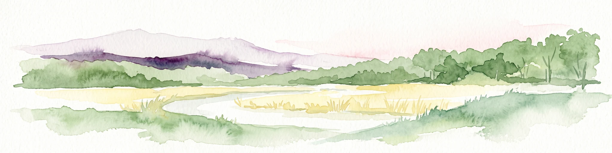
A panoramic watercolor painting showing a winding river in a green meadow, with a line of trees on the right and purple mountains in the background.
Nature reserveHauts-de-France
About 38 km away#7 closest

East

Réserve naturelle régionale de la tourbière de Vred: Protected Peatbog and Wetland Map

Geographic landscape in the Hauts-de-France alluvial plain

Vred Peatbog is an ecologically significant protected site in northern France, known for its floating sphagnum-bearing peat formation. The reserve contains a mosaic of managed drainage channels, reedbeds, and woodlands that provide a critical sanctuary for wetland species within the Scarpe valley landscape. This mapping data provides a detailed look at the site's unique alluvial basin and regional conservation status.

Area
0.41 km²
Established
2008
IUCN
IV
Relief
Lowland
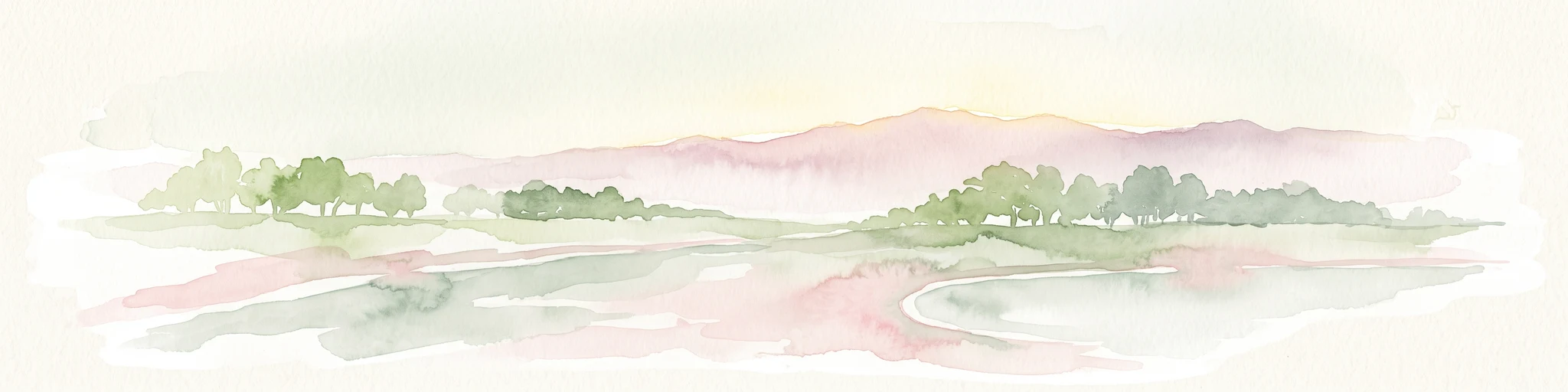
Watercolor painting of a soft, hazy landscape featuring low hills in the background and marshy wetlands in the foreground with pastel shades of green, yellow, and soft pink.
Nature reserveHauts-de-France
About 38 km away#8 closest

East

Réserve naturelle régionale du pré des Nonnettes: Regional Nature Reserve and Wetland Atlas

Alluvial marshland and hay meadow terrain in the Hauts-de-France

The Réserve naturelle régionale du pré des Nonnettes preserves a rare wet hay meadow habitat within the Marais du Vivier. Located in the lower Scarpe river valley, this nature reserve integrates marshy ground, ponds, and riparian woods to support a concentrated mosaic of wetland biodiversity. MoriAtlas provides detailed geographic context for this protected site and its significance within the larger Hauts-de-France wetland conservation network.

Area
0.173 km²
Established
2008
IUCN
IV
Relief
Lowland
MoriAtlas Explorer

Explore the Geographic Boundaries of the Marais de Cambrin, Annequin, Cuinchy et Festubert Regional Nature Reserve

Trace the diverse wetland terrain and protected alluvial landscape of the Marais de Cambrin, Annequin, Cuinchy et Festubert Regional Nature Reserve through the MoriAtlas mapping system. Gain deeper insight into how this Pas-de-Calais refuge maintains critical biodiversity through its unique water-managed habitats and rare fen communities.