
Mori Atlas logo
Nature reserveRéserve naturelle régionale des sites d'intérêt géologique de la presqu'île de Crozon

A comprehensive network of protected coastal geosites across the dramatic Armorican peninsula of Bretagne.

Réserve naturelle régionale des sites d'intérêt géologique de la presqu'île de Crozon: Geological Landscape Atlas

(Réserve naturelle régionale des sites d'intérêt géologique de la presqu'île de Crozon (RNR270))

The Réserve naturelle régionale des sites d'intérêt géologique de la presqu'île de Crozon protects a series of 27 distinct coastal geosites that preserve millions of years of Paleozoic and Quaternary earth history. Situated in the Finistère department of Bretagne, this regional nature reserve features complex volcanic formations, fossil-rich sedimentary deposits, and rugged sea cliffs. The area serves as a primary reference for the Armorican Massif, offering insight into coastal erosion dynamics, ancient volcanic activity, and unique maritime habitats.

geological reservecoastal reserveregional nature reserveArmorican MassifPaleozoic geologycliff exposures
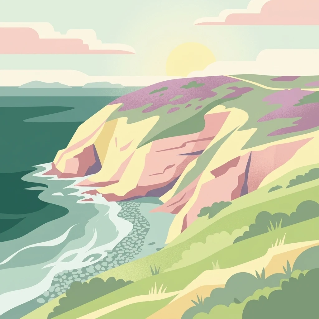
A flat-style digital illustration of a coastal cliffside meeting the ocean at sunset, featuring layered green hills and rugged rocky cliffs.

Réserve naturelle régionale des sites d'intérêt géologique de la presqu'île de Crozon

Nature reserve

Park overview

Structured park overview, official facts, and landscape profile for Réserve naturelle régionale des sites d'intérêt géologique de la presqu'île de Crozon

Réserve naturelle régionale des sites d'intérêt géologique de la presqu'île de Crozon park facts, protected area profile, and essential visitor context

Review the core facts for Réserve naturelle régionale des sites d'intérêt géologique de la presqu'île de Crozon, including designation, size, terrain, visitor scale, habitats, and operating context in one park-focused overview.

About Réserve naturelle régionale des sites d'intérêt géologique de la presqu'île de Crozon

The Réserve naturelle régionale des sites d'intérêt géologique de la presqu'île de Crozon is a French regional nature reserve dedicated to the protection and public understanding of geological heritage on the rugged coast of the Crozon peninsula. Created in 2013 and managed by the Communauté de communes Presqu'île de Crozon-Aulne maritime, the reserve combines 27 individual geosites into a single coordinated protected area that wraps around the shoreline of the peninsula.

Unlike many nature reserves that center on ecological processes or species, this reserve is distinguished by its geological focus. The Crozon peninsula lies outside the Monts d'Arrée and exposes sedimentary terrains between roughly 550 and 370 million years old, originally deposited as marine sands and muds that hardened into grès and schists. These formations were later folded, faulted, and interleaved with Ordovician submarine volcanic rocks, producing a deformed but highly legible mosaic of Paleozoic history along the Atlantic coast.

The reserve's defining feature is that it safeguards reference sections, type localities, and teaching-quality exposures rather than single dramatic landforms. Several of its 27 sites are formal stratotypes or reference sections used by geologists working on the Armorican Massif, while others preserve rare Quaternary records such as ancient beaches, periglacial slope deposits, and interglacial lake sediments. Together, these geosites function as open-air geological archives, accessible from the coast path and complemented by the Maison des Minéraux in Crozon, which serves as the main point of public interpretation.

By placing all of these features under a single protective framework and prohibiting any sampling or extraction, the reserve aims to balance scientific access with conservation, preserving the integrity of fossil, mineral, and structural sites for future research, education, and public discovery.

Quick facts and research context for Réserve naturelle régionale des sites d'intérêt géologique de la presqu'île de Crozon

The Réserve naturelle régionale des sites d'intérêt géologique de la presqu'île de Crozon is a regional nature reserve of IUCN management category IV, classified on 18 October 2013 by deliberation of the Communauté de communes Presqu'île de Crozon-Aulne maritime. Covering 156.4 hectares in total across seven communes of Finistère in Brittany, it unites 27 coastal geosites that protect Paleozoic sedimentary and volcanic formations as well as Quaternary deposits.

Its land area is 28.69 hectares, while 127.71 hectares overlap with the marine public domain, reflecting its predominantly coastal and shoreline character. The reserve is formally registered in the World Database on Protected Areas and was awarded the Espace Remarquable de Bretagne label by the regional council of Brittany in the same year it was created.

Protection and recognition

Documented protection scope, management framework, and official recognition records

Protection Status and Designation History for Réserve naturelle régionale des sites d'intérêt géologique de la presqu'île de Crozon

Historical protection records outline the established designation timeline and management scope for Réserve naturelle régionale des sites d'intérêt géologique de la presqu'île de Crozon. Official administrative databases track national status metrics and international recognition frameworks without assuming specific ecological outcomes.

Protection details

Protection scope
Mixed
Designated year
2013
Transboundary protection
No
WDPA ID
555561899
Park context

Deeper park guide and search-rich context for Réserve naturelle régionale des sites d'intérêt géologique de la presqu'île de Crozon

Réserve naturelle régionale des sites d'intérêt géologique de la presqu'île de Crozon history, landscape, wildlife, and travel context

Explore Réserve naturelle régionale des sites d'intérêt géologique de la presqu'île de Crozon through its history, landscape character, ecosystems, wildlife, conservation priorities, cultural context, and seasonal travel timing in a structured park guide built for atlas discovery and search intent.

Why Réserve naturelle régionale des sites d'intérêt géologique de la presqu'île de Crozon stands out

The reserve is internationally recognized for its density of coastal geosites that document roughly 180 million years of Paleozoic earth history along a short stretch of Brittany's coastline. At its famous Pointe de Lostmarc'h, Ordovician submarine volcanic rocks dated to around 448 million years ago expose pillow lavas, volcanic breccias, bedded tuffs, and gradded volcaniclastics, all sculpted by marine erosion into distinctive cliff formations. It is equally valued for stratotype and reference sections across the Ordovician, Silurian, and Devonian of the Armorican Massif, including the continuous Veryac'h section through Ordovician and Silurian rocks, the Saint-Fiacre and Le Zorn Devonian reference sections, and unique Quaternary sites such as the Holsteinian fossil beach at Porz Koubou and the periglacial sequence at Trez Rouz. The Crozon peninsula as a whole is regarded as one of the most complete geological field laboratories in western France.
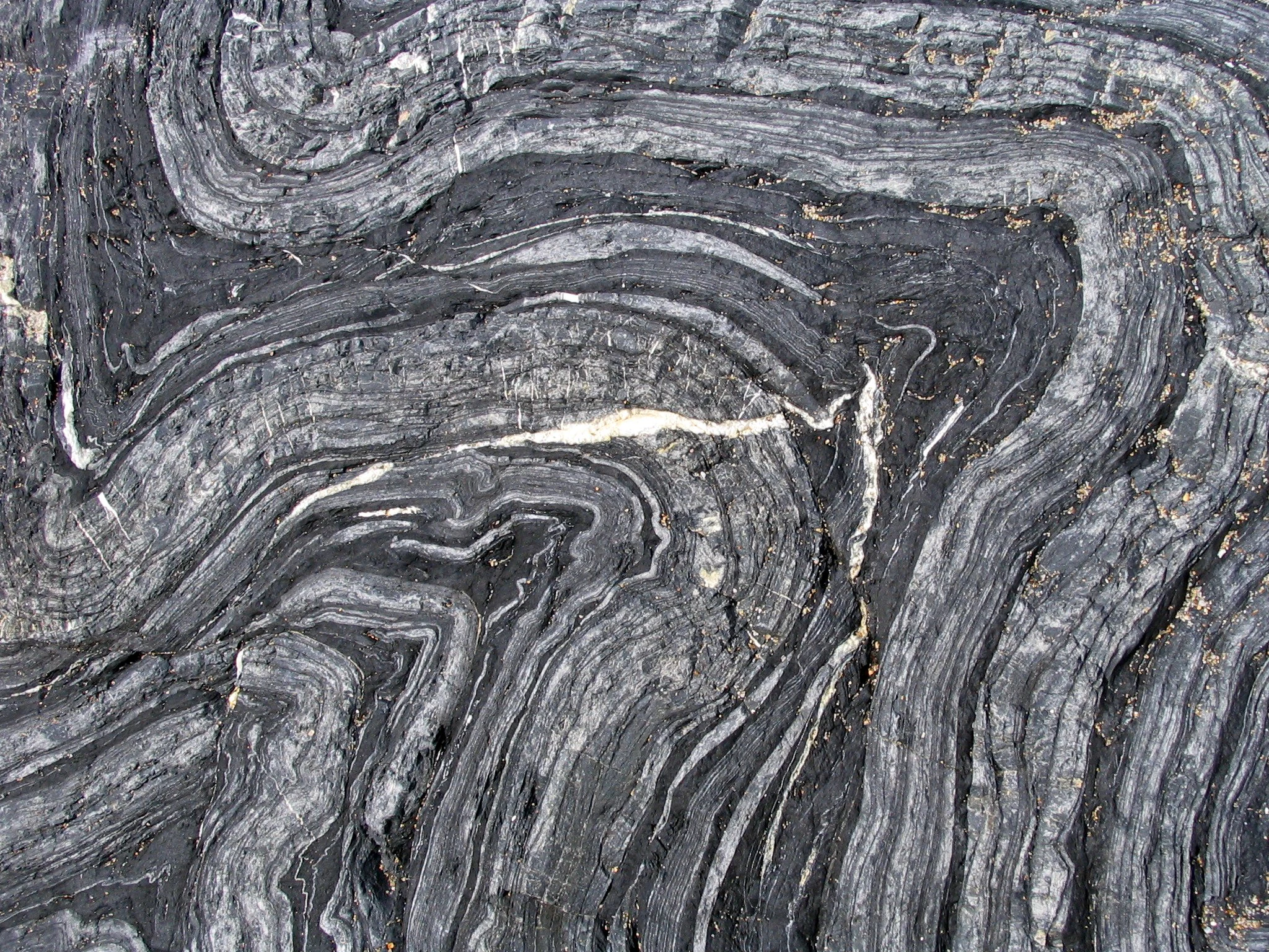
A close-up texture shot of grey and black layered schist rock showing tight, wavy, and concentric geological folds.
Close-up view of intricately folded schist rock formations at Porzh Koubou, illustrating the complex geological history of the Crozon Peninsula.

Réserve naturelle régionale des sites d'intérêt géologique de la presqu'île de Crozon history and protected-area timeline

The geological significance of the Crozon peninsula has been recognized for generations, but the institutional effort to protect it began in the 1980s, when an inventory of geological heritage was carried out by the Société Géologique et Minéralogique de Bretagne. That work laid the groundwork for selecting a network of 27 geosites around the peninsula as priority sites for conservation.

The modern reserve emerged from subsequent regional efforts in Brittany to formalize protections for areas of outstanding natural heritage. On 18 October 2013, the Communauté de communes Presqu'île de Crozon-Aulne maritime adopted a deliberation creating the Réserve naturelle régionale des sites d'intérêt géologique de la presqu'île de Crozon, registered as RNR270. The reserve was created for an initial renewable term of six years and was awarded the Espace Remarquable de Bretagne label by the Région Bretagne in the same year.

In a short period, the reserve consolidated the older geological inventory into operational conservation practice. By prohibiting all sampling from the protected sites, it transformed the Crozon peninsula from a freely visited scientific and amateur-collecting destination into a regulated conservation space, while still allowing the sites to be experienced along the coast path and through structured public interpretation at the Maison des Minéraux in Crozon.

Réserve naturelle régionale des sites d'intérêt géologique de la presqu'île de Crozon landscape and geographic character

The reserve's landscape is defined entirely by the Atlantic-facing coast of the Crozon peninsula, where cliffs, headlands, beaches, dunes, and tidal flats alternate over relatively short distances. Sea cliffs form the backbone of most of the 27 geosites, and differential marine erosion has shaped the rocks into clean exposures, dramatic vertical walls, and isolated sea stacks.

At Pointe de Lostmarc'h, alternating volcanic flows and breccias form two ragged wall-like ridges that project into the sea, locally known as the tail of the horse, in a promontory roughly thirty meters high and wide and around 150 meters long. At other sites, folded schists, ripple-marked sandstone pavements, and pillow-lava outcrops sit directly above beaches, while the peninsula's rias and abers, such as the Aber de Crozon, frame calmer inland reaches where tidal flats and salt-related vegetation develop.

Coinciding with the harder rock formations, the coastline also preserves softer Quaternary landforms, including the Holsteinian fossil beach at Porz Koubou, coastal spit features such as the Sillon des Anglais and the Sillon du Pal near Landévennec, and periglacial slope debris at Quillien. Together, these landforms give the reserve a multi-layered coastal landscape in which ancient rocks, recent sediments, and present-day marine dynamics are all visible within a single shoreline walk.
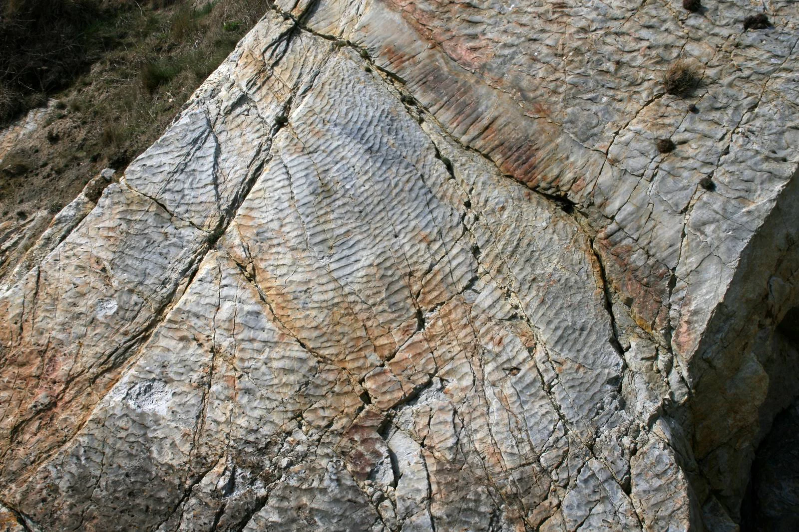
A close-up, high-angle view of a grey and tan rock surface showing distinct, parallel wave-like patterns known as fossilized ripple marks, crossed by several deep fractures.
Fossilized ripple marks preserved on an Ordovician quartzite outcrop in the Crozon Peninsula.

Réserve naturelle régionale des sites d'intérêt géologique de la presqu'île de Crozon ecosystems, habitats, and plant life

Although the reserve is declared as a geological site, it spans a range of coastal habitats that host genuine ecological value. The dominant natural environments are dry heathland along the cliff tops, exposed sea cliffs used by nesting and roosting birds, and grey dunes along more sheltered stretches of shoreline. Smaller patches of scrub and coastal grassland add further structural variety.

These habitats share a strict maritime influence: salt spray, thin soils developed on Paleozoic bedrock, and constant exposure to Atlantic weather. The result is a mosaic of stress-tolerant plant communities adapted to wind, salt, and shallow substrates, interrupted by more sheltered microhabitats in rias and cliff hollows where moisture accumulates.

The reserve's ecological importance lies precisely in this juxtaposition. Its biological richness is not incidental to its geology; rather, the unusual bedrock types, varied slope aspects, and the mixture of hard cliff and soft beach sediments create a wide range of niches for plants and animals within a very limited area. This makes the protected sites functional reservoirs of coastal biodiversity even if the formal designation emphasizes geology.
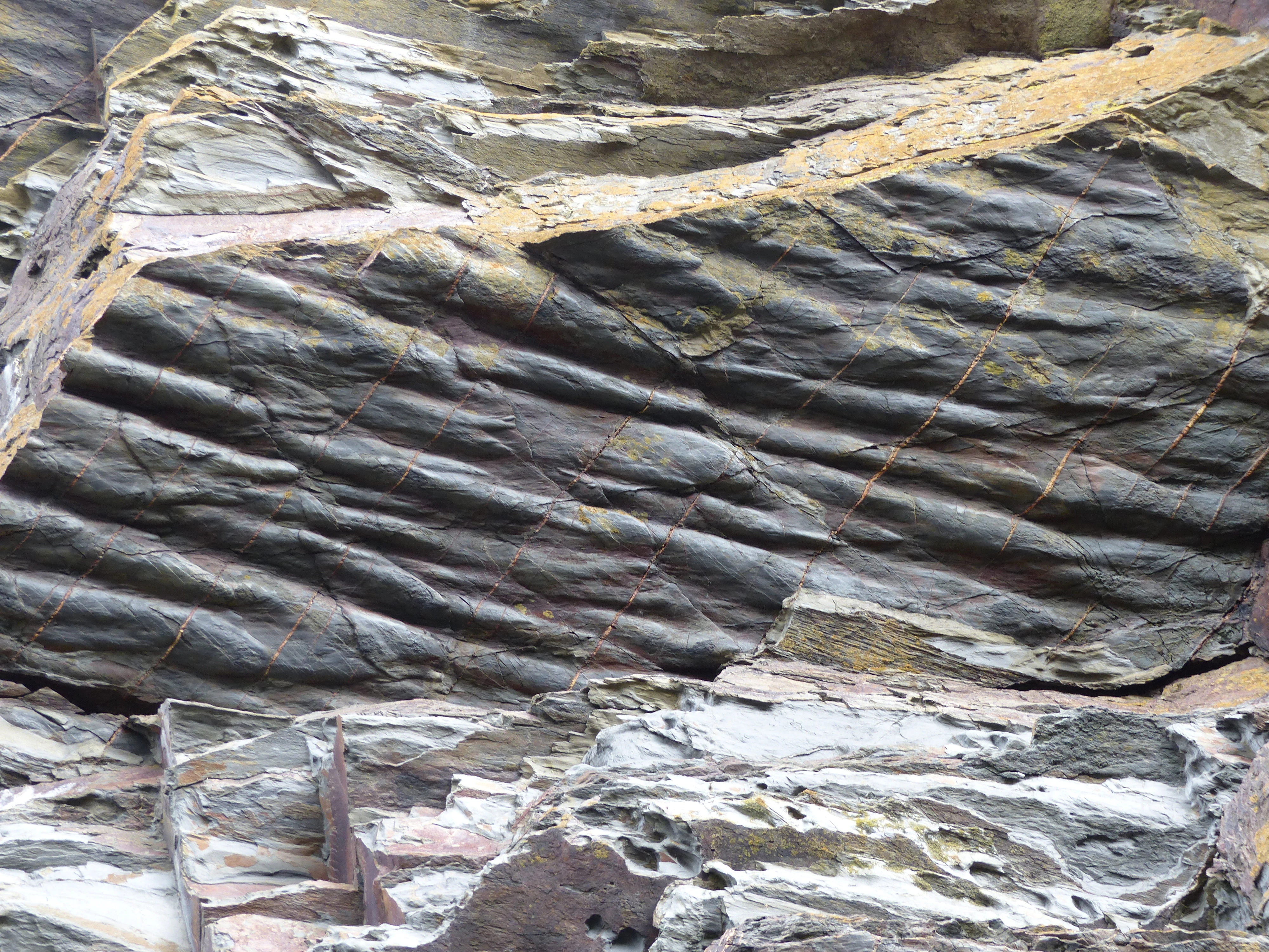
A close-up view of a dark, layered rock face showing elongated, ripple-like geological formations known as flute casts on a bedding plane.
Close-up of flute casts visible on the surface of Neoproterozoic Brioverian rocks in the Crozon Peninsula.

Réserve naturelle régionale des sites d'intérêt géologique de la presqu'île de Crozon wildlife and species highlights

The wildlife of the reserve reflects both its coastal edge and its inland heath and cliff-top habitats. Among the most notable fauna are the European otter, which uses the peninsula's rivers, rias, and shoreline, and the grey seal, which frequents the surrounding Atlantic waters. The reserve also forms part of the range of the chough, a cliff-nesting corvid whose presence is closely tied to the short-grazed coastal grasslands and open cliff faces of the Crozon peninsula.

Bats are represented by the greater horseshoe bat, which uses caves, cliffs, and old buildings around the peninsula for roosting. On land, the Quimper snail, a species tightly associated with Atlantic coastal habitats of western Brittany, inhabits damp hollows and shaded rock crevices near the sea.

The varied habitat mosaic also supports typical coastal birdlife, small mammal communities of heath and scrub, and rich invertebrate faunas in intertidal and dune settings. While the reserve's species list is not exhaustive in publicly available sources, the combination of European otter, grey seal, chough, greater horseshoe bat, and Quimper snail signals a protected area of more than ordinary biological interest.
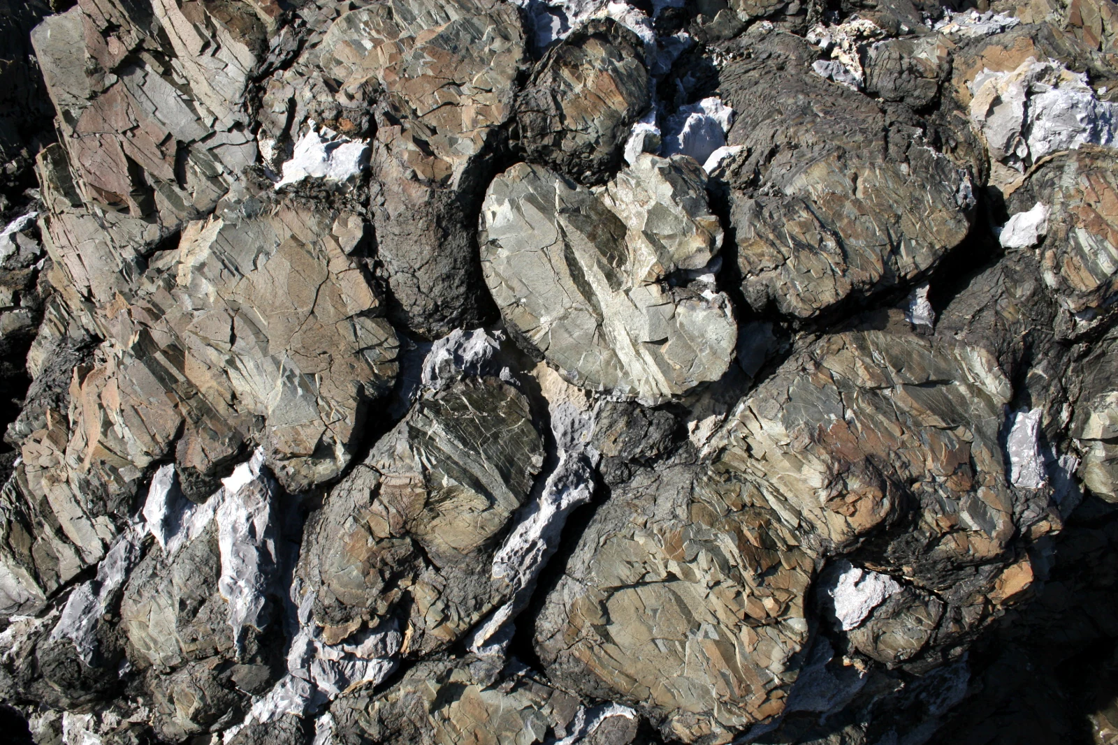
A close up view of dark, rounded volcanic rock formations known as pillow lava, characterized by interlocking bulbous shapes and mineral veins.
Close up view of pillow lava formations showing the distinct rounded basaltic structures at Lostmarch Point.

Réserve naturelle régionale des sites d'intérêt géologique de la presqu'île de Crozon conservation status and protection priorities

The conservation value of the reserve rests on its role as a legal safeguard for irreplaceable geological heritage on a coastline that is otherwise highly accessible. By bringing 27 dispersed fossil, mineral, and structural sites under a single regulatory framework, it protects type localities and reference sections that are fundamental to ongoing stratigraphic research on the Armorican Massif and to international comparisons of Paleozoic sequences.

At the same time, the reserve conserves coastal ecological communities that share the same sites. The protection of dry heath, sea cliff, and grey dune habitats helps maintain conditions for species of conservation concern, including chough and the Quimper snail, while banning all sampling preserves the integrity of mineralogical sites such as the amethyst-bearing exposures at Porz Kregwenn.

Recognition as an Espace Remarquable de Bretagne by the regional council, combined with registration in national and international protected-area databases, gives the reserve a broader institutional standing beyond its immediate municipal management. Its combination of geological, ecological, and educational aims makes it an example of integrated natural-heritage protection on a heavily visited Atlantic coast.

Réserve naturelle régionale des sites d'intérêt géologique de la presqu'île de Crozon cultural meaning and human context

The Crozon peninsula has long been a meeting point of natural and cultural history in western Brittany. Its dramatic coastline has been shaped by, and in turn shaped, human activity: ancient sea levels left the Holsteinian fossil beach of Porz Koubou, periglacial climates produced the slope deposits at Quillien, and later generations of Bretons have lived with these rocks as landmarks, hazards, and resources.

Communities such as Camaret-sur-Mer, Crozon, Landévennec, Lanvéoc, Roscanvel, and Telgruc-sur-Mer have economies and identities traditionally rooted in the sea, and the peninsula contains fortified sites and military heritage that intersect with its coastal landscapes. Landévennec in particular is associated with one of Brittany's earliest monastic foundations, while the broader Finistère region carries a strong identity as the western edge of continental Europe.

The Maison des Minéraux in Crozon acts as the main cultural and educational interface for the reserve, linking the geological story to the lived landscape of the peninsula. Through this combination of natural heritage protection and local cultural anchor, the reserve reinforces a regional sense of place defined by the long, intertwined history of rock, sea, and community on the Breton coast.
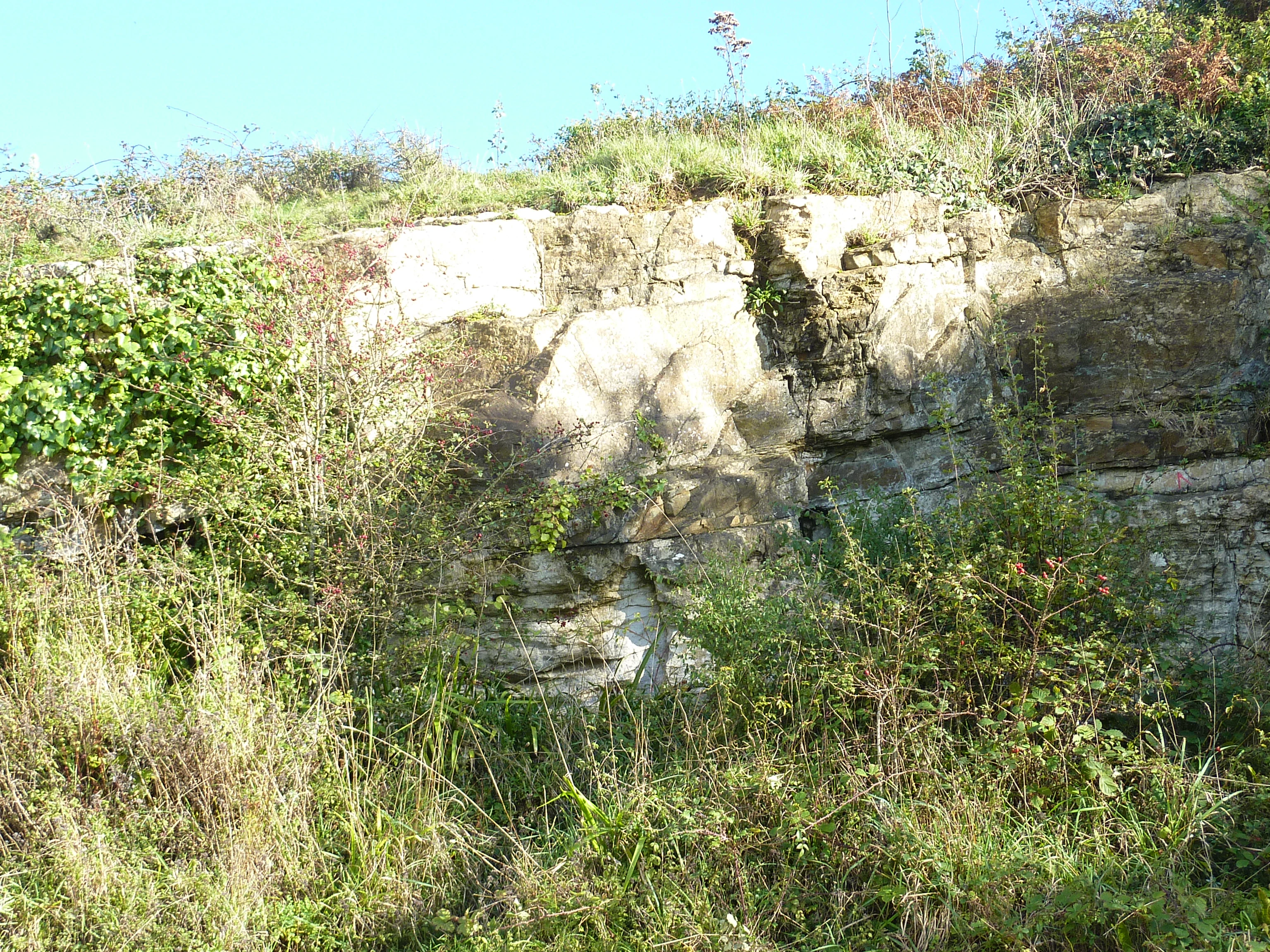
A close up view of an exposed limestone rock face partially covered by green vegetation and shrubs.
Limestone deposit at the Aber site, showcasing the geological formations of the Crozon Peninsula.

Top sights and standout views in Réserve naturelle régionale des sites d'intérêt géologique de la presqu'île de Crozon

The reserve's strongest highlights lie in the diversity, accessibility, and scientific weight of its 27 geosites, all concentrated on a peninsula where cliffs, headlands, beaches, and dunes meet the Atlantic. Standout features include the Ordovician submarine volcanic complex at Pointe de Lostmarc'h with its pillow lavas and bedded volcanic breccias, the continuous Ordovician to Silurian section at Veryac'h, and the Devonian reference sections at Saint-Fiacre and Le Zorn.

Complementing these internationally significant geological exposures are rarer coastal features such as the Holsteinian fossil beach at Porz Koubou, the multi-level periglacial and interglacial sequence at Trez Rouz, and the geomorphological spits at Le Sillon des Anglais and Le Sillon du Pal near Landévennec. With its associated Maison des Minéraux in Crozon, the reserve offers a combination of open-air field sites and indoor interpretation that few protected areas of comparable size match.
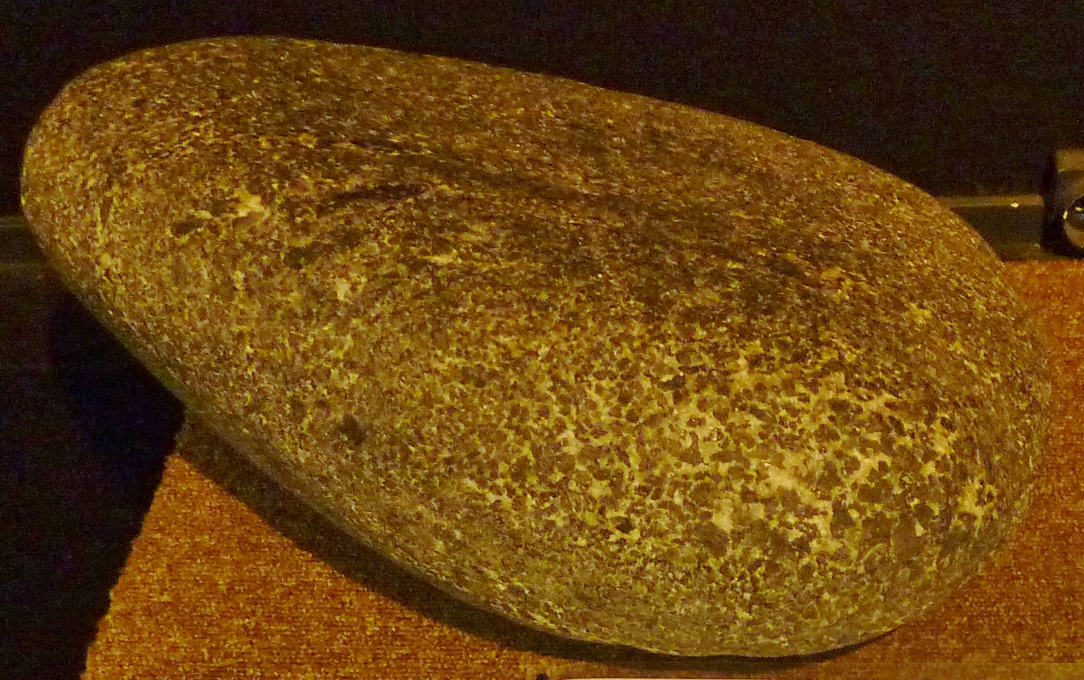
A close-up photograph of a rounded rock specimen on a textured brown surface against a dark background, showing a mottled, coarse-grained texture characteristic of volcanic breccia.
A specimen of submarine breccia found near Lostmarc'h, illustrating the geological history of the Crozon Peninsula.

Best time to visit Réserve naturelle régionale des sites d'intérêt géologique de la presqu'île de Crozon

The Crozon peninsula has a temperate oceanic climate, marked by mild winters, cool summers, and weather that changes quickly under Atlantic influence. For most visitors, the late spring through early autumn offers the best combination of longer daylight, drier conditions, and safer cliff-top walking. Summer brings warmer temperatures and the most reliably calm seas, while still preserving the wide-open light that makes the cliff exposures read clearly.

Spring and early autumn are particularly rewarding for those interested in both geology and natural scenery. Cliff-top vegetation is fresher and more colorful in spring, and the light is often softer for observing rock textures and structures. Winter visits remain feasible but require more care on wet rock, stronger winds, and rougher seas, which can both reward and complicate shoreline exploration. The coastal path is the natural way to experience the reserve across all seasons, and tide conditions should always be considered when descending to beach-level exposures.
Monthly climate preview

Long-term representative monthly temperature and precipitation data recorded across the protected landscape

Climate Normals and Annual Temperature Patterns for Réserve naturelle régionale des sites d'intérêt géologique de la presqu'île de Crozon

Representative coordinate measurements reveal a measured annual rhythm of monthly average temperatures and daily precipitation totals at Réserve naturelle régionale des sites d'intérêt géologique de la presqu'île de Crozon. Detailed month-by-month climate normals provide deeper insight into long-term temperature ranges and precipitation patterns across the conservation area.
Annual mean12 °C
8 °C18 °C
Jan
Feb
Mar
Apr10°
May13°
Jun16°
Jul17°
Aug18°
Sep16°
Oct14°
Nov11°
Dec
Warmest month
August

17.7 °C

Coolest month
February

7.8 °C

Wettest month
December

3.7 mm/day

Driest month
July

1.6 mm/day

Park location guide

Geography guide, regional context, and park location map for Réserve naturelle régionale des sites d'intérêt géologique de la presqu'île de Crozon

Réserve naturelle régionale des sites d'intérêt géologique de la presqu'île de Crozon park geography, regions, and map view in France

Understand where Réserve naturelle régionale des sites d'intérêt géologique de la presqu'île de Crozon sits in France through a broader geographic reading of the surrounding landscape, nearby location context, and its mapped position within the national park landscape.

How Réserve naturelle régionale des sites d'intérêt géologique de la presqu'île de Crozon fits into France

France is a unitary semi-presidential republic and one of the world's largest economies. It borders Belgium, Luxembourg, Germany, Switzerland, Italy, Monaco, Andorra, and Spain, with a maritime border to the United Kingdom. The country is known for its cultural influence, art, cuisine, and political history spanning centuries.

Wider geography shaping Réserve naturelle régionale des sites d'intérêt géologique de la presqu'île de Crozon in France

France is located in Western Europe. Metropolitan France extends from the Rhine to the Atlantic Ocean and from the Mediterranean Sea to the English Channel and North Sea. The country borders Belgium, Luxembourg, Germany, Switzerland, Italy, Monaco, Andorra, Spain, and has a maritime border with the United Kingdom.

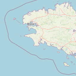
Map view of Réserve naturelle régionale des sites d'intérêt géologique de la presqu'île de Crozon

Use this park location map to pinpoint Réserve naturelle régionale des sites d'intérêt géologique de la presqu'île de Crozon in France, understand its exact geographic position, and read its mapped placement within the surrounding landscape more clearly.

Pigeon | © OpenStreetMap contributors

Location context for Réserve naturelle régionale des sites d'intérêt géologique de la presqu'île de Crozon

Bretagne

Explore protected coastal terrain, cliff exposures, and geological formations through detailed park imagery.

Visualizing Réserve naturelle régionale des sites d'intérêt géologique de la presqu'île de Crozon Landscapes and Geology

Examine high-resolution photography documenting the sea cliffs, volcanic outcrops, and coastal habitats of Réserve naturelle régionale des sites d'intérêt géologique de la presqu'île de Crozon. Visual reference imagery clarifies the geomorphological structure and terrain diversity across all twenty-seven protected geosites.

A close-up texture shot of grey and black layered schist rock showing tight, wavy, and concentric geological folds.

A wide view of a large, rocky headland protruding into the deep blue ocean, with exposed geological cliff faces and low-lying coastal vegetation in the foreground.

A close-up, high-angle view of a grey and tan rock surface showing distinct, parallel wave-like patterns known as fossilized ripple marks, crossed by several deep fractures.

A close-up view of a dark, layered rock face showing elongated, ripple-like geological formations known as flute casts on a bedding plane.

A close up view of dark, rounded volcanic rock formations known as pillow lava, characterized by interlocking bulbous shapes and mineral veins.

Close-up of a weathered, rounded rock formation embedded within stratified, reddish-brown sedimentary layers.

A close up view of an exposed limestone rock face partially covered by green vegetation and shrubs.

A close-up photograph of a rounded rock specimen on a textured brown surface against a dark background, showing a mottled, coarse-grained texture characteristic of volcanic breccia.

Park atlas

Compare nearby protected areas and regional coastal landscapes across the Armorican Massif.

Parks near Réserve naturelle régionale des sites d'intérêt géologique de la presqu'île de Crozon

Browsing other protected areas near Réserve naturelle régionale des sites d'intérêt géologique de la presqu'île de Crozon reveals broader regional geography and connected coastal ecosystems. Comparing adjacent natural reserves helps place local geological formations within a wider northwest European conservation context.
Nature reserveFinistère
About 28 km away#1 closest

East

Vallée de l'Aulne Nature Reserve: A Detailed Mapping of Finistère River Valley Geography

Protected riparian landscapes, watershed ecology, and regional basin boundaries

The Vallée de l'Aulne serves as a central artery for the natural landscapes of western France. Spanning from inland Brittany toward the Atlantic, this protected reserve encompasses riverine corridors, bocage terrain, and tidal estuary zones. Use this detailed profile to examine the geographic distribution of protected habitats, river basin features, and the integrated environmental protections that define this key Finistère landscape.

Area
35.64 km²
Established
2014
Relief
Lowland
Climate
Temperate
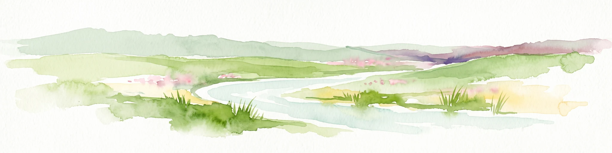
A watercolor painting showing a wide, panoramic view of a marshy landscape with green clumps of grass in the foreground and soft purple hills in the distance.
Nature reserveFinistère
About 43 km away#2 closest

East

Réserve naturelle nationale du Venec: Protected Peatland and Monts d'Arrée Geography

A core nature reserve and active sphagnum bog ecosystem in Finistère

Located in central Brittany, the Réserve naturelle nationale du Venec represents the only remaining large, active raised bog in the region. This protected area within the Finistère department offers deep insight into the geomorphology of the Yeun-Elez basin, mapping the transition from granite-edged dry moorland through marshy transition zones to the central, ombrotrophic peat dome.

Area
3.341 km²
Established
1993
IUCN
IV
Relief
Upland
A soft, painterly watercolor illustration of a winding river flowing through green marshlands, coastal dunes, and gentle rolling hills under a bright, open sky.
Nature reserveFinistère
About 44 km away#3 closest

North

Réserve naturelle régionale des marais, dunes et baies de Guissény: Protected Atlas Detail

Coastal reserve geography and maritime landscape mapping

Located in Finistère, this protected area features an intricate network of reedbeds, dune ridges, and coastal lagoons. The reserve provides a critical refuge for over 200 bird species and serves as a prime example of the land-and-sea ecological transition characteristic of the northern Breton coastline.

Area
6.083 km²
Established
2025
IUCN
IV
Relief
Lowland
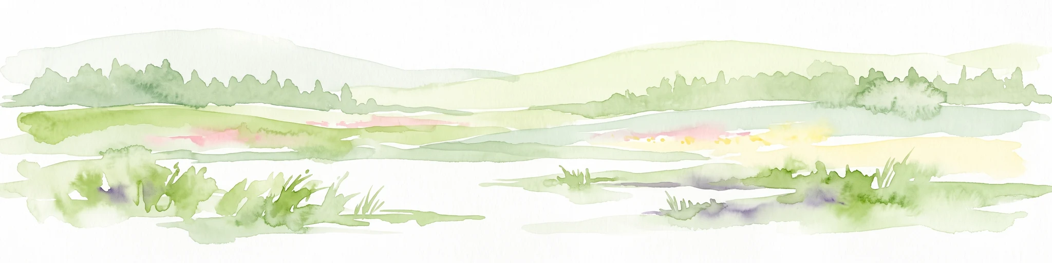
A horizontal watercolor illustration of a soft green landscape with rolling hills, patches of grass, and distant tree lines against a white background.
Nature reserveBretagne
About 53 km away#4 closest

Northeast

Réserve naturelle régionale des landes et tourbières du Cragou et du Vergam: Regional Park Geography

Protected granite ridges and Atlantic peatland ecosystems in Finistère

The Réserve naturelle régionale des landes et tourbières du Cragou et du Vergam stands as a critical reference for understanding Breton upland ecology. Spanning the Monts d'Arrée, these protected sites provide a distinct map of wet heath, acidic flushes, and diverse botanical habitats that define the inland character of northwestern France.

Area
3.434 km²
Established
2008
IUCN
IV
Relief
Upland
Nature reserveBretagne
About 75 km away#5 closest

Northeast

Réserve naturelle régionale des landes, prairies et étangs de Plounérin: Protected Habitat Atlas

Inland Bretagne landscape mosaic and regional nature reserve mapping

This protected area in the heart of Brittany serves as a vital refuge for heathland, meadows, and ponds. Examine the site's mapped boundaries and understand its role as an IUCN Category IV conservation landscape within the broader geography of the Côtes-d'Armor department.

Area
1.607 km²
Established
2016
IUCN
IV
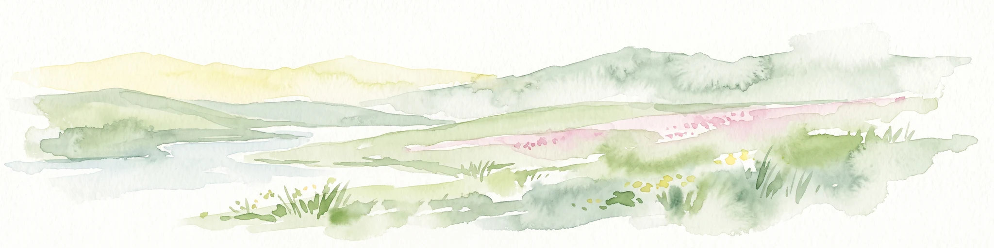
A watercolor painting showing a soft, stylized landscape of green hills, marshy fields, and patches of pink wildflowers or heathland against a white background.
Nature reserveBretagne
About 77 km away#6 closest

East

Réserve naturelle régionale des landes et marais de Glomel: Protected Bog and Heathland Atlas

A rare inland wetland refuge within the Bretagne Montagnes Noires

Explore the geographic mosaic of the Réserve naturelle régionale des landes et marais de Glomel, a protected area in Bretagne comprising dual sites of peat bogs, wet heaths, and marshy meadows. This atlas entry details the internal terrain, including the Grazius stream network and the historic canal environment, essential for understanding the habitat distribution and conservation of this distinct inland landscape.

Area
1.078 km²
Established
2008
IUCN
IV
Relief
Upland
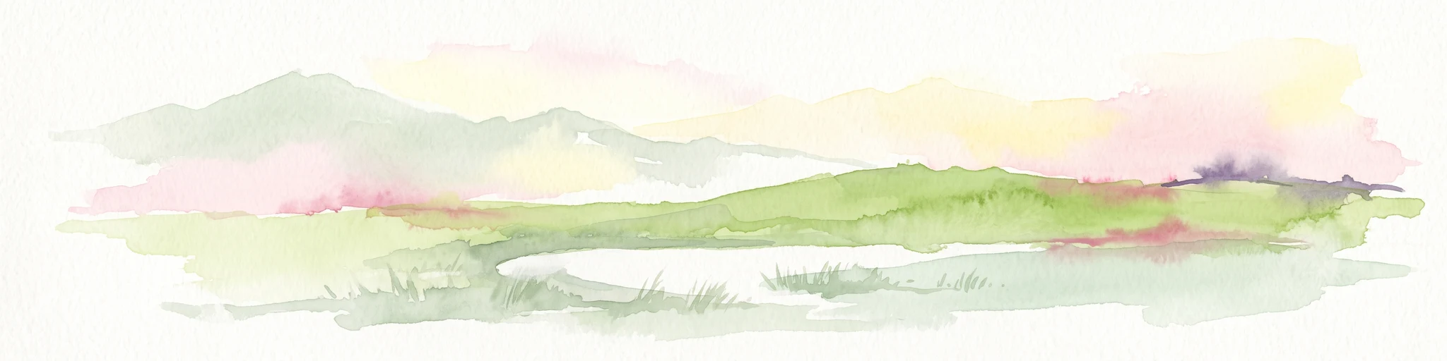
A soft watercolor painting showing a green landscape with a small pond in the foreground and rolling hills in the background under a pastel sky.
Nature reserveMorbihan
About 87 km away#7 closest

Southeast

Réserve naturelle régionale des étangs du Petit et du Grand Loc'h: Wetland Landscape Atlas

Coastal protected area in Morbihan, Brittany

Located along the Atlantic coast near Guidel, this regional nature reserve protects a vital corridor of freshwater ponds, wet meadows, and reclaimed polders. The area is defined by its complex hydrology and serves as a key refuge for wintering and migratory bird populations within the Morbihan landscape, showcasing the intersection of maritime and terrestrial environments.

Area
1.18 km²
Established
2008
IUCN
IV
Relief
Lowland
A watercolor painting showing a soft, panoramic view of a coastal wetland with small islands in the distance and grassy foreground dunes.
Regional parkBretagne
About 122 km away#8 closest

Southeast

Parc naturel régional du Golfe du Morbihan: Coastal Landscape and Marine Park Geography

Protected maritime territory and island geography in Bretagne

Covering over 80,000 hectares of combined land and marine space, Parc naturel régional du Golfe du Morbihan offers a unique view into the intersection of Atlantic coastal heritage and environmental conservation. Learn about the park's structural role in the Bretagne region through its intricate network of inlets, peninsulas, and marshland habitats that define its distinctive maritime character.

Area
642 km²
Established
2014
IUCN
V

Common questions about visiting, size, designation, and location context for Réserve naturelle régionale des sites d'intérêt géologique de la presqu'île de Crozon

Réserve naturelle régionale des sites d'intérêt géologique de la presqu'île de Crozon FAQs for park facts, access, geography, and protected area context

Find quick answers about Réserve naturelle régionale des sites d'intérêt géologique de la presqu'île de Crozon, including protected-area facts, park geography, trail and visitor context, and how the park fits into its surrounding country and regional landscape.
MoriAtlas Explorer

Continue Your Protected Areas Search Across the Global Atlas

Deepen your exploration by continuing the structured search for national parks and protected areas worldwide. Utilize the comprehensive filtering capabilities to compare different conservation landscapes and refine your understanding of global park geography. Discover more about the distribution and characteristics of protected natural areas.

Global natural geography