
Mori Atlas logo
Park earthquake history

A mapped catalogue of past earthquake records associated with the geography of this nature reserve.

Recorded Seismic Activity and Historical Earthquake Data for Réserve naturelle régionale du Héron

Review a detailed collection of historical earthquake records identified within the vicinity of the Réserve naturelle régionale du Héron in northern France. This resource provides data on past seismic events including magnitude, depth, and distance from the protected area, sourced from scientific archives to support geographic research and regional landscape analysis.

A flat-style digital illustration of a calm lake flanked by rocky hills, trees, and shoreline vegetation under a pale sky.

A compact urban-edge nature reserve in northern France protecting wetland habitat and migratory birdlife.

Réserve naturelle régionale du Héron

The Réserve naturelle régionale du Héron is a small regional nature reserve in the Métropole européenne de Lille, within the larger Hauts-de-France region of northern France. Occupying about 73 hectares on the eastern side of the Parc du Héron, the reserve sits between the communes of Villeneuve-d'Ascq and Forest-sur-Marque, roughly 10 kilometers east of central Lille and not far from the Belgian border. The reserve was first recognized as a voluntary nature reserve in 1995 and was formally classified as a regional nature reserve in February 2012, securing long-term protection for its wetland and lakeside habitats. Although modest in size, it plays a regional role as a refuge for waterbirds and songbirds, functioning especially as a stopover for migratory species moving along northern European flyways. The protected area is managed by the Syndicat Mixte Espace Naturel Lille Métropole, which integrates the reserve into a broader network of green spaces around the Lille metropolitan area. Its combination of accessibility, urban proximity, and ecological value makes it a notable example of periurban conservation in France.

Location
France
Park type
Nature reserve
Established
2012
Area
0.7 km²
Réserve naturelle régionale du Héron Map and Geography

Review Réserve naturelle régionale du Héron events by distance

Investigate earthquakes near Réserve naturelle régionale du Héron

Réserve naturelle régionale du Héron’s earthquake view positions reported epicentres around its Lille-area boundary through calculated distance, separating the records from Lac du Héron, reed-fringed marshes, wetlands, and birds. Dates, magnitudes, depths, localities, sources, and reserve distances support historical comparison without claiming habitat effects, current hazard, or future activity.

Sort by
Magnitude
Location

This page describes catalogued earthquakes associated with the park by epicentre location and distance. It does not establish causation, assess current danger, or predict future earthquakes.

No earthquake records match the current filters

Park atlas

Move from an urban-edge bird refuge to wider protected landscapes

Venture beyond Réserve naturelle régionale du Héron

Réserve naturelle régionale du Héron gives its earthquake observations the context of a compact Hauts-de-France wetland supporting migratory birdlife near an urban edge. Other destinations follow as independent profiles and do not denote common habitat, French reserve status, geology, seismic history, proximity, hazard, or comparable information coverage.
Protected areaNord
20 km away#1 closest

Southeast

Vallées de la Scarpe et de l'Escaut Protected Landscape Geography and Map Context

Wetland mosaic, subsidence lakes, and river floodplains in Nord

Examine the physical geography of the Scarpe and Escaut Valleys, a premier wetland site in northern France. The protected area features a mosaic of marshes, wet meadows, and mining-subsidence lakes that provide vital habitats for migratory waterbirds and support carbon storage through rare alkaline peatlands.

Area
276.22 km²
Established
2020
Relief
Lowland
Scope
Terrestrial
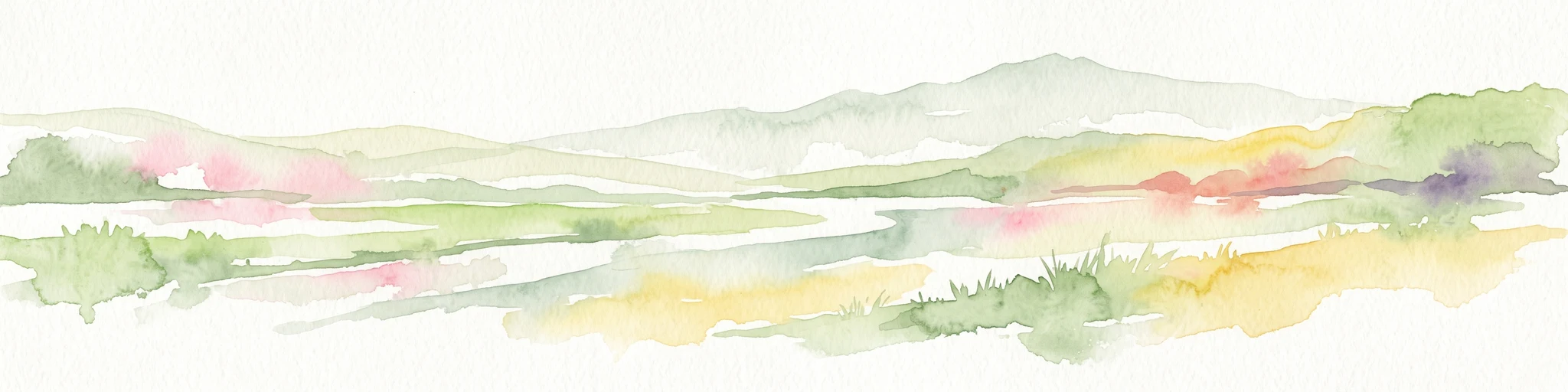
Watercolor painting of a soft, hazy landscape featuring low hills in the background and marshy wetlands in the foreground with pastel shades of green, yellow, and soft pink.
Nature reserveHauts-de-France
About 24 km away#2 closest

South

Réserve naturelle régionale du pré des Nonnettes: Regional Nature Reserve and Wetland Atlas

Alluvial marshland and hay meadow terrain in the Hauts-de-France

The Réserve naturelle régionale du pré des Nonnettes preserves a rare wet hay meadow habitat within the Marais du Vivier. Located in the lower Scarpe river valley, this nature reserve integrates marshy ground, ponds, and riparian woods to support a concentrated mosaic of wetland biodiversity. MoriAtlas provides detailed geographic context for this protected site and its significance within the larger Hauts-de-France wetland conservation network.

Area
0.173 km²
Established
2008
IUCN
IV
Relief
Lowland
Nature reserveHauts-de-France
About 25 km away#3 closest

South

Réserve naturelle régionale des Annelles, Lains et Pont Pinnet: Protected Landscape Geography

A unique biodiversity refuge in the Hauts-de-France region of France.

The Réserve naturelle régionale des Annelles, Lains et Pont Pinnet showcases a dense patchwork of 26 natural habitats across a 14-hectare expanse. Its mapped boundaries reveal a mosaic of wet marshes, coal-shale terrils, and peat-forming ecosystems that support a significant variety of amphibians, dragonflies, and metallophyte flora. This protected area offers a clear look at how industrial landscapes can transition into essential botanical refuges within the northern French coal basin.

Area
0.146 km²
Established
2010
IUCN
IV
Relief
Lowland
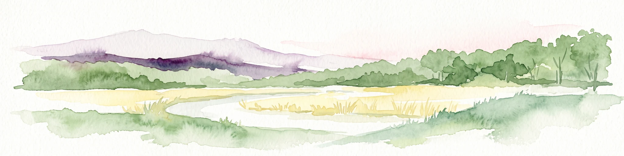
A panoramic watercolor painting showing a winding river in a green meadow, with a line of trees on the right and purple mountains in the background.
Nature reserveHauts-de-France
About 26 km away#4 closest

South

Réserve naturelle régionale de la tourbière de Vred: Protected Peatbog and Wetland Map

Geographic landscape in the Hauts-de-France alluvial plain

Vred Peatbog is an ecologically significant protected site in northern France, known for its floating sphagnum-bearing peat formation. The reserve contains a mosaic of managed drainage channels, reedbeds, and woodlands that provide a critical sanctuary for wetland species within the Scarpe valley landscape. This mapping data provides a detailed look at the site's unique alluvial basin and regional conservation status.

Area
0.41 km²
Established
2008
IUCN
IV
Relief
Lowland
Nature reserveHauts-de-France
About 27 km away#5 closest

South

Réserve naturelle régionale du marais de Wagnonville: Protected Wetland and Bog Geography

A resilient marshland ecosystem in the Douai urban landscape.

This reserve provides a comprehensive look at the surviving wetlands of the Escrebieux valley. Covering 20 hectares, the area hosts a dense variety of habitats from open ponds to rare sphagnum peat bogs, marking an essential node of biodiversity and ecological restoration within the northern French administrative landscape.

Area
0.2 km²
Established
1994
IUCN
IV
Relief
Lowland
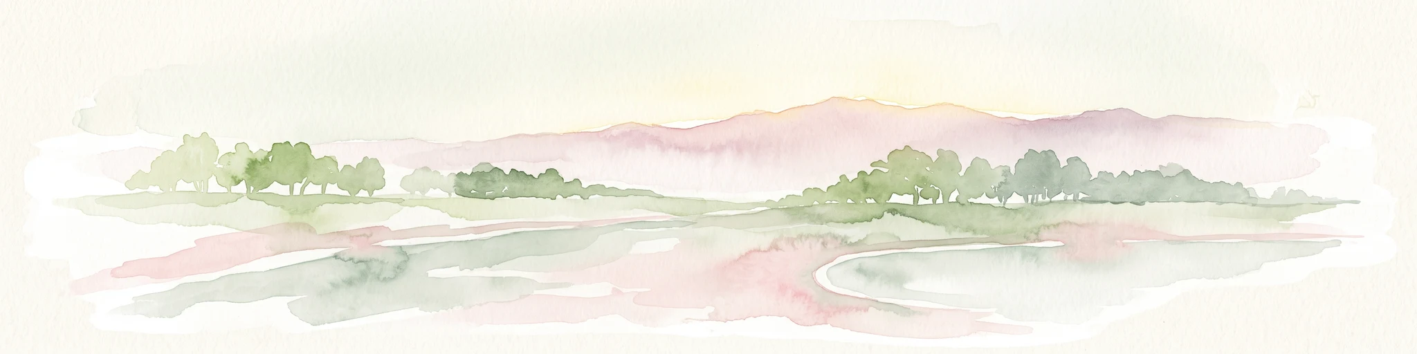
A soft watercolor painting showing a panoramic landscape with light green trees and low hills in the background, set against a pale, washed-out sky.
Nature reserveHauts-de-France
About 28 km away#6 closest

West

Réserve naturelle régionale des prés du Moulin Madame: Regional Protected Meadow Map

Riverine floodplain landscapes in the Hauts-de-France region

The Réserve naturelle régionale des prés du Moulin Madame protects an 8.52 hectare corridor along the Lys river. This site highlights the preservation of traditional flood meadows that are increasingly rare in northern France. Users can examine the park boundaries, understand the flat lowland terrain, and trace the riverine geography that defines this unique protected cultural landscape.

Area
0.085 km²
Established
2015
IUCN
IV
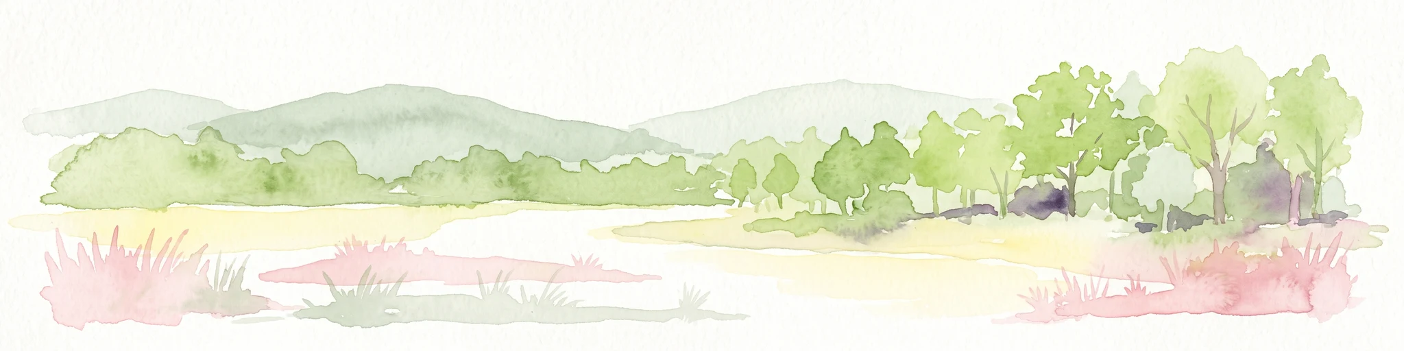
Watercolor painting of a marshy wetland landscape featuring rolling hills, green trees, and foreground grasses against a white background.
Nature reservePas-de-Calais
33 km away#7 closest

West

Marais de Cambrin, Annequin, Cuinchy et Festubert Regional Nature Reserve: Protected Wetland Atlas

Alluvial floodplains and biodiversity refuges in Pas-de-Calais

Trace the boundaries and protected features of the Marais de Cambrin, Annequin, Cuinchy et Festubert Regional Nature Reserve. This site preserves an essential mosaic of open water, peat-rich fens, and damp alluvial woods that function as a crucial nesting ground for waterfowl and a repository for rare botanical heritage in northern France.

Area
0.742 km²
Established
2009
IUCN
IV
Relief
Lowland
A watercolor painting of a pastoral landscape featuring a grassy foreground with a small pool of water, a line of trees, and soft hills in the background.
Protected landscapeHainaut
About 34 km away#8 closest

Southeast

Parc naturel des Plaines de l'Escaut: Geographic Overview of the Hainaut Protected Area

Scheldt valley wetlands, forested ridges, and historical landscape estates.

Located in the Hainaut province of Belgium, Parc naturel des Plaines de l'Escaut protects a complex mosaic of lowlands and heritage sites. This area integrates wetlands, heathland openings, and castle estates within a heavily humanized region. Learn about its role as a cross-border protected entity and its contribution to the pan-European ecological network through its varied terrain and water-dominated geography.

Area
465 km²
Established
1996
IUCN
V
Relief
Lowland
MoriAtlas Explorer

Explore the Geographic Boundaries and Landscape of Réserve naturelle régionale du Héron

Access detailed information about the Réserve naturelle régionale du Héron through the MoriAtlas database. Gain insight into the wetland habitats, protected lake edges, and the regional ecological significance of this site within the Hauts-de-France landscape for a deeper understanding of periurban conservation.