Mori Atlas logo
Park earthquake history

A comprehensive catalogue of seismic records associated with the forest landscape

Recorded Historical Earthquake Activity Near Rio Grande National Forest in Colorado

This collection presents a browsable history of recorded seismic events identified by their geographic proximity to the boundaries of Rio Grande National Forest. The catalogue archives data regarding event dates, recorded magnitudes, and focal depths to provide an overview of local historical seismic activity. All event data originates from geological surveys, offering a structured perspective on recorded ground motion within the region.

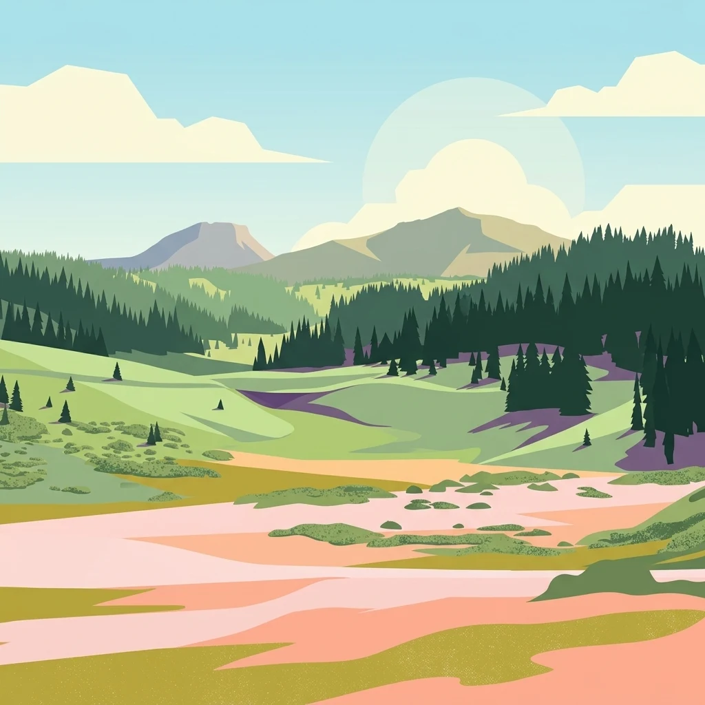
A digital illustration showing a mountain landscape with coniferous forests in the midground and rolling green hills in the foreground under a light blue sky with stylized clouds.

A vast Colorado forest where the Rio Grande begins and the Continental Divide stretches along its western edge.

Rio Grande National Forest

Rio Grande National Forest is a large U.S. national forest covering 1.86 million acres in southwestern Colorado. It sits within and around the San Luis Valley, which is widely recognized as the world's largest agricultural alpine valley and one of the world's largest high deserts framed by mountains. The forest is defined by its dramatic geography: the headwaters of the Rio Grande rise within its boundaries, and the Continental Divide of the Americas runs along most of its western border. This combination of high valley, surrounding peaks, and major divide gives the forest an unusually varied terrain of alpine meadows, forested slopes, and arid basin edges. Spanning parts of nine Colorado counties, Rio Grande National Forest contains several designated wilderness areas and offers some of the state's most extensive backcountry landscapes. It serves as both a critical watershed and a defining natural feature of the southern Rockies.

Location
United States of America
Park type
Protected landscape
Established
1908
Area
7,500 km²
Rio Grande National Forest Geography

Examine Rio Grande National Forest events and distances

Explore historical earthquake records around Rio Grande National Forest

Navigate reported earthquake geography around Rio Grande National Forest’s 7,530 km² mountain landscape in Colorado; search source locality and date, compare magnitude with depth, and use calculated distance to see how each epicentre relates spatially to the forest. The collection is not evidence of occurrence inside the protected boundary, an explanation of cause or a present-day hazard assessment.

Sort by
Magnitude
Location

This page describes catalogued earthquakes associated with the park by epicentre location and distance. It does not establish causation, assess current danger, or predict future earthquakes.

No earthquake records match the current filters

Park atlas

Continue after Rio Grande National Forest earthquake records

Discover other protected parks beyond Rio Grande National Forest

Rio Grande National Forest anchors the earthquake collection before discovery continues beyond its Colorado headwaters, alpine forest, San Luis Valley, and Continental Divide setting. The following protected-place pages do not claim shared national-forest status, landscape, proximity, geology, seismic records, hazards, risk, or comparable documentation.
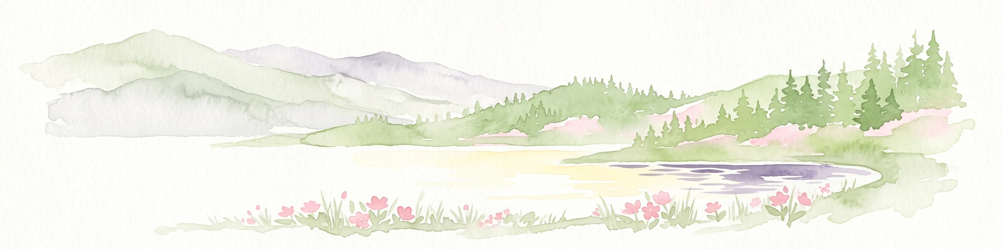
A pale watercolor painting showing a panoramic view of mountain ranges in the background, a coniferous forest on a small hill, and a meadow with wildflowers in the foreground.
Wildlife reserveColorado
Park boundaries overlap#1 closest

North

La Garita Wilderness: Exploring the High Alpine Geography of Southern Colorado

Volcanic terrain and protected mountain wilderness atlas

La Garita Wilderness serves as a primary example of protected high-alpine geography in southern Colorado. This atlas entry examines the undulating volcanic ridges, glacial cirques, and alpine basins that define the area, including the prominent peak of San Luis. It highlights the integration of significant trail systems within this protected landscape, offering a clear perspective on the physical geography and conservation value of the La Garita mountain range.

Area
524.58 km²
Established
1964
IUCN
Ib
Relief
Mountain
Watercolor painting of a serene mountain landscape featuring rolling hills, coniferous trees, and a lake in the foreground, rendered in light pastel tones.
Protected landscapeColorado
Park boundaries overlap#2 closest

East

San Isabel National Forest: Geographic Overview and Protected Mountain Landscape Atlas

Central Colorado alpine terrain and designated wilderness areas

Spanning eleven counties in central Colorado, San Isabel National Forest serves as a cornerstone of the Southern Rocky Mountains. The forest landscape is dominated by the Sawatch and Sangre de Cristo ranges, offering a unique atlas of alpine tundra, dense coniferous forests, and high-altitude peaks that define the character of the region. This protected area provides a vital habitat and a vast, rugged environment characterized by volcanic formations like the Spanish Peaks and glacial geological features.

Area
4,533.42 km²
Established
1902
Relief
Mountain
Climate
Alpine
Protected landscapeColorado
Park boundaries overlap#3 closest

West

San Juan National Forest: Geographic Overview of a Major Southern Colorado Protected Landscape

Mapped terrain across the Southern San Juan Mountains

San Juan National Forest represents a massive protected landscape in western Colorado, defined by its rugged alpine peaks, dense conifer forests, and glacial valleys. This atlas entry details the forest boundary, its position along the Continental Divide, and the surrounding transition into the Colorado Plateau. It provides a structured look at the terrain that connects diverse ecosystems, from high-altitude tundra to expansive mesa country, within one of the largest national forests in the American West.

Area
7,603.42 km²
Established
1905
Relief
Mountain
Climate
Alpine
National parkColorado
About 3.7 km away#4 closest

East

Great Sand Dunes National Park and Preserve: Colorado's Unique Mapped Landscape

Explore the natural terrain and protected boundaries.

Great Sand Dunes National Park and Preserve offers a unique protected landscape within Colorado, characterized by its distinct natural terrain and extensive dune fields. This destination provides valuable context for atlas exploration, detailing the park's mapped boundaries and its specific geographic setting. Understand its significance as a protected area and appreciate the unique natural features that define its landscape for a richer geographic discovery.

Area
603.1 km²
Established
2004
IUCN
V
Visitors
432.5K annual
A horizontal watercolor painting depicting soft green rolling hills and distant mountains under a white sky.
Wildlife reserveColorado
9.1 km away#5 closest

Northwest

Powderhorn Wilderness: A High-Elevation Protected Landscape in the San Juan Mountains

Basaltic plateaus and vast alpine tundra in Colorado

Powderhorn Wilderness protects a distinct highland environment in southwestern Colorado. Characterized by dark basaltic caprocks and deep glacial cirques, this area serves as a critical headwaters system for the Gunnison River, supporting a complex transition from sagebrush steppe to subalpine forest and wind-swept tundra. The geography remains largely defined by its volcanic heritage and the primitive character of its remote plateau summits.

Area
251.1 km²
Established
1993
IUCN
Ib
Relief
Mountain
Protected landscapeColorado
About 29 km away#6 closest

West

Uncompahgre National Forest: Protected Landscapes and Geographic Features in Colorado

Mapping the arid plateau and high-country San Juan wilderness zones.

Uncompahgre National Forest represents a vast protected area in the American West, spanning iconic landscapes from the dry, pinyon-juniper covered Uncompahgre Plateau to the dramatic, jagged ridges of the northern San Juan Mountains. This atlas entry provides essential context on its alpine wilderness designations, high-country topography, and the unique geological transitions that define its status as a critical Colorado resource for regional landscape analysis.

Area
3,865.68 km²
Established
1905
Relief
Mountain
Climate
Alpine
Watercolor painting of a mountain landscape with light green rolling hills in the midground and pale, soft-toned mountain peaks in the background.
Protected areaColorado
30 km away#7 closest

West

Mount Sneffels Wilderness: Mapping the High Alpine Terrain of the San Juan Mountains

Protected mountain geography in southwestern Colorado

Mount Sneffels Wilderness protects a dramatic cluster of peaks in the San Juan range, characterized by glacial cirques, expansive talus fields, and sharp ridgelines. As a vital component of the Colorado backcountry, this area provides a window into high-altitude ecological transition zones, from dense conifer forests to exposed granite summits that define the character of the Uncompahgre National Forest.

Area
67.04 km²
Established
1980
IUCN
Ib
Relief
Mountain
Wildlife reserveColorado
30 km away#8 closest

West

Lizard Head Wilderness: Mapping the San Juan Mountains Protected Alpine Terrain

High elevation geography and volcanic wilderness in Colorado

Lizard Head Wilderness is a federally protected area in southwestern Colorado characterized by steep ridgelines, dramatic volcanic geology, and alpine basins. It protects a rugged mountain landscape featuring the iconic Lizard Head spire and a cluster of high-elevation peaks including Mount Wilson, El Diente Peak, and Wilson Peak. The area offers a significant study in remote high-mountain geography and watershed protection within the San Juan range.

Area
167.17 km²
Established
1980
IUCN
Ib
Relief
Mountain
MoriAtlas Explorer

Continue Exploring the Protected Landscapes of Rio Grande National Forest

Examine the detailed geographic context and mapped boundaries of Rio Grande National Forest within the MoriAtlas ecosystem. Discover how this massive protected area integrates the alpine environment of the Continental Divide with the arid basin of the San Luis Valley.

Global natural geography