Mori Atlas logo
Park earthquake history

A comprehensive catalogue of historical seismic events mapped by proximity to the protected woodland terrain.

Historical Seismic Records and Recorded Earthquake Activity near Riserva naturalistica dell'Adelasia

This resource provides a structured catalogue of documented earthquakes that have occurred in the vicinity of Riserva naturalistica dell'Adelasia. By tracing event data through a distance-based association with the Ligurian Apennine landscape, these records offer a transparent look at regional seismic history. Each entry includes verified details such as event timing, magnitude, and precise epicentral coordinates to assist in geographical research.

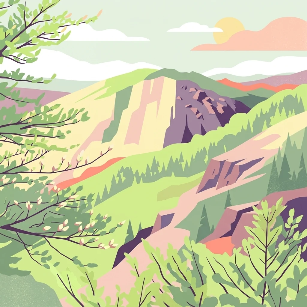
A digital illustration featuring a green, hilly landscape with rocky outcrops, forested slopes, and a soft sun in the sky.

An Apennine woodland reserve in upper Val Bormida, revived as a green refuge beside an industrial valley.

Riserva naturalistica dell'Adelasia

The Riserva naturalistica dell'Adelasia is a regional nature reserve in Liguria, northwestern Italy, set on the northern slopes of the Ligurian Apennines in the municipality of Cairo Montenotte, province of Savona. It lies in the upper Bormida valley, not far from the Colle di Cadibona, the historical divide between the Apennines and the Alps, and protects several hundred hectares of woodland between roughly 400 and 860 meters in elevation. The reserve was created in 1989 by 3M Italia through its subsidiary Ferrania Imaging Technologies as a contribution to preserving the natural environment around Ferrania, surrounded by decades of industrial activity. Beyond its protected woodlands, the reserve gained importance as a 'green lung' for the heavily industrialized Val Bormida, where air and water quality have gradually improved and aquatic species such as the native freshwater crayfish have reappeared. Today it is a compact but ecologically meaningful refuge of mixed forest, streams and ridge habitats, hosting deer, wild boar, foxes, dormice and a rotation of raptors and songbirds. The site is also tied to local legend: the rocky spur known as the Rocca dell'Adelasia recalls the medieval story of Adelasia, daughter of Otto, and her beloved Aleramo.

Location
Italy
Park type
Nature reserve
Established
1989
Highest point
860 m
Riserva naturalistica dell'Adelasia Park Map and Geography

Inspect Riserva naturalistica dell'Adelasia events and distances

Explore past earthquakes around Riserva naturalistica dell'Adelasia

Earthquakes around Riserva naturalistica dell'Adelasia are associated with the reserve through epicentre mapping and distance, not proof of events inside its boundary. Explore occurrence dates, magnitudes, depths, places, distance data, and references without claiming that local natural features drive seismicity, defining current danger, or anticipating future earthquakes.

Sort by
Magnitude
Location

This page describes catalogued earthquakes associated with the park by epicentre location and distance. It does not establish causation, assess current danger, or predict future earthquakes.

No earthquake records match the current filters

Park atlas

Leave Riserva naturalistica dell'Adelasia records for more parks

Discover additional parks beyond Riserva naturalistica dell'Adelasia

Following the Riserva naturalistica dell'Adelasia earthquake records, discover a stand-alone assortment of protected destinations. Their placement here conveys no shared natural setting, legal designation, geology, seismic conditions, distance relationship, hazard, risk, or comparable quality of documentation.
Marine protected areaFrance
11 km away#1 closest

South

Sanctuaire Pelagos Marine Protected Area: Mediterranean Geography and Seascape

A transboundary conservation zone spanning 87,500 square kilometers.

Sanctuaire Pelagos represents a unique collaborative effort in marine conservation across the Mediterranean. Spanning the waters between France, Italy, and Monaco, this protected maritime area is defined by its deep-sea canyons and nutrient-rich currents that sustain diverse cetacean populations. Its immense scale and international governance make it a focal point for understanding Mediterranean marine biodiversity and environmental policy.

Area
87,500 km²
Established
1999
IUCN
IV
Relief
Lowland
Watercolor illustration of a mountainous landscape featuring a river, rolling hills, and green vegetation
National parkFrance
71 km away#2 closest

West

Mercantour National Park: Mapped Alpine Protected Landscape and Regional Geography

Explore France's dramatic Alps, park boundaries, and unique ecotones.

Mercantour National Park stands as a premier protected area within the French Alps, distinguished by its remarkable geographic diversity and ecological significance. This national park encompasses mountainous terrain featuring dramatic peaks, deep glacial valleys, and a unique ecotone where Mediterranean and Alpine ecosystems converge. MoriAtlas facilitates a detailed atlas-style exploration of Mercantour National Park, highlighting its mapped protected boundaries, varied natural landscapes, and its pivotal role in regional geography and conservation efforts.

Area
679 km²
Established
1979
IUCN
II
Visitors
800K annual
A digital illustration of a valley featuring jagged mountain peaks, a waterfall, a winding river, and pine forests in the foreground.
Marine protected areaMonaco
About 100 km away#3 closest

Southwest

Larvotto and Portier Coastal Reserve: Marine Protected Area and Coastal Habitat Atlas

Mapped marine refuge along the dense Monaco shoreline.

The Larvotto and Portier Coastal Reserve represents a distinct marine protected area in Monaco, featuring significant seagrass meadows and transplanted rocky habitats. This coastal zone acts as an essential refuge for Mediterranean biodiversity, providing a rare example of structured marine conservation embedded within a highly developed urban landscape.

Area
0.23 km²
Watercolor illustration of a mountainous coastal landscape with green vegetation and a body of water
National parkLiguria
About 104 km away#4 closest

East

Cinque Terre National Park: Protected Area Geography and Mapped Landscape

Explore its regional context in Liguria, Italy.

Examine Cinque Terre National Park as a key protected area within the rugged geography of Italy's Liguria region. This dedicated atlas entry provides essential geographic context, detailing the park's mapped boundaries and its significance as a national park. Understand how this protected landscape fits within the broader regional terrain, offering a structured view for geographic discovery and map-based exploration of Italy's protected areas.

Area
22 km²
Established
1999
IUCN
V
Relief
Mountain
A horizontal watercolor painting showing a soft alpine meadow with a stream running through it, framed by distant rolling mountains and patches of trees.
Regional parkPiemonte
About 104 km away#5 closest

West

Pian del Re Regional Park: Geography and Alpine Protected Landscapes in Piemonte

Glacial springs, peat bogs, and Monviso mountain terrain

Pian del Re is a significant regional park situated in the upper Po Valley of the Cottian Alps. Known for its high-altitude plateau, the area marks the origin of the Po River and hosts sensitive wetland habitats. The landscape is defined by the sharp relief of the Monviso group and a complex network of glacial meltwater, providing a distinct study in alpine ecology and mountain geography.

Relief
Mountain
Climate
Alpine
Access
Moderate access
Scope
Terrestrial
Nature reservePiemonte
About 109 km away#6 closest

North

Riserva naturale speciale dell'Isolone di Oldenico: Geography and Riverine Conservation Atlas

Protected riparian corridors in the Po Plain region of Northern Italy

This nature reserve preserves a distinct island feature formed by the Sesia river system. As a vital component of the lower Sesia valley network, the protected area contrasts sharply with the surrounding agricultural land by maintaining indigenous riverine vegetation, marshy habitat pockets, and natural levees within the flat terrain of the Province of Vercelli.

Area
0.52 km²
Established
1978
IUCN
IV
Watercolor painting of distant purple hills and foreground pine trees in soft washes of green, yellow, and red on a white background.
State or regional parkProvence-Alpes-Côte d'Azur
About 110 km away#7 closest

Southwest

Parc naturel départemental du Vinaigrier: Protected Limestone Landscapes near Nice

Regional state park with diverse Mediterranean woodland ecosystems

Parc naturel départemental du Vinaigrier offers a dense, 25 hectare mosaic of limestone plateaus and slopes near the Mediterranean coast. Its landscape is defined by traditional dry stone terraces and a rare flowering ash forest, creating a significant ecological bridge between the urban expansion of Nice and the hilly interior of the Alpes-Maritimes.

Area
0.25 km²
Established
1980
IUCN
IV
Nature reserveLombardia
About 114 km away#8 closest

Northeast

Riserva naturale garzaia di Porta Chiossa: Protected Woodland and Heronry in Lombardia

Historic lowland forest and bird sanctuary geography

Located in the heart of the Po Plain, this nature reserve maintains an essential mosaic of wet woodland and riverine trees. Explore the boundaries of this ecological sanctuary, which remains one of the few surviving sections of the ancient Visconti hunting grounds, offering a unique window into the natural history of the Lombardy region.

Area
0.8 km²
Established
1984
IUCN
IV
MoriAtlas Explorer

Trace the Protected Boundaries and Natural Terrain of Riserva naturalistica dell'Adelasia

Continue your geographic exploration into the forested heart of the Bormida valley. By opening the MoriAtlas profile for Riserva naturalistica dell'Adelasia, you gain access to detailed regional mapping and insights into one of Liguria's most distinct ecological and legendary landscapes.