Mori Atlas logo
Nature reserveRotsohl und Thomassee von Dudenhofen

A mosaic of pine-clad forest, seasonal wetlands, and meadow habitats within the Rhine-Main lowlands

Rotsohl und Thomassee von Dudenhofen Nature Reserve: A Protected Landscape in Landkreis Offenbach

(Naturschutzgebiet Rotsohl und Thomassee von Dudenhofen)

The Rotsohl und Thomassee von Dudenhofen nature reserve represents a critical protected landscape situated in the heart of the Rhine-Main lowlands. Covering roughly 52 hectares, this site features a distinctive mosaic of dry pine forest stands, wet sedge meadows, and small, seasonally variable ponds. These habitats provide an essential refuge for diverse bird species, including those dependent on both mature woodland and open, hydrologically influenced terrain.

nature reservepine forestwet meadowsmall pondslowland habitatbirdwatching

Rotsohl und Thomassee von Dudenhofen

Nature reserve

Park overview

Structured park overview, official facts, and landscape profile for Rotsohl und Thomassee von Dudenhofen

Rotsohl und Thomassee von Dudenhofen park facts, protected area profile, and essential visitor context

Review the core facts for Rotsohl und Thomassee von Dudenhofen, including designation, size, terrain, visitor scale, habitats, and operating context in one park-focused overview.

About Rotsohl und Thomassee von Dudenhofen

Rotsohl und Thomassee von Dudenhofen is one of more than thirty designated nature reserves scattered through the Landkreis Offenbach in southern Hesse. It lies within the municipal area of Rodgau, southeast of the Dudenhofen district, in a part of the Rhine-Main lowlands where intensively used farmland, settlements, and infrastructure corridors dominate the broader landscape. Within that context, the reserve represents a relatively small but ecologically meaningful enclave of semi-natural habitat.

The protected area combines several distinct habitat types within a compact footprint. Large parts are covered by pine-dominated forest, much of it planted stands of Scots pine. These are interspersed with wet meadows (Feuchtwiesen), nutrient-poor grassland (Magerrasen), sedge-dominated marsh (Seggenriede), tall herb communities (Hochstaudenfluren), small open waters (Kleingewässer), and patches of alder-willow thicket (Erlen-Weiden-Gehölze). A mosaic of dry forest and wet open habitats like this is uncommon in the surrounding lowlands, and its preservation is the central purpose of the designation.

The reserve was established in 1999 and is administered by the lower nature conservation authority of the Landkreis Offenbach. Its IUCN classification as Category IV (Habitat/Species Management Area) reflects the active role that habitat management plays in maintaining the ecological character of the site. The reserve is regularly visited by ornithologists and naturalists interested in lowland woodland birds, amphibians, and the seasonal bird migration that passes through the area in early spring.

Quick facts and research context for Rotsohl und Thomassee von Dudenhofen

Rotsohl und Thomassee von Dudenhofen is a nature reserve (NSG) in the Landkreis Offenbach in southern Hesse, Germany. The protected site lies within the city of Rodgau, southeast of the Dudenhofen district, and was officially designated in 1999. Its area is approximately 51.88 hectares and it carries the NSG number 1438032 and WDPA ID 329600.

The reserve sits at an elevation between roughly 130 and 140 meters above sea level and is managed by the lower nature conservation authority (Untere Naturschutzbehörde) of the Landkreis Offenbach. Its habitats include large pine forest stands, wet meadows, mown nutrient-poor grassland, sedge marshes, tall herb fringes, small open waters such as the so-called Postteiche, and the Weißensee pond. Under the IUCN framework it is classified as a Category IV habitat and species management area.

Protection and recognition

Documented conservation status, official boundaries, and international recognition details

Rotsohl und Thomassee von Dudenhofen Protection Status and WDPA Records

Comprehensive protected area records compile available conservation status and official administration metrics for Rotsohl und Thomassee von Dudenhofen. Verified database entries provide transparent insight into management frameworks and global geographic registries.

Protection details

WDPA ID
329600
Park context

Deeper park guide and search-rich context for Rotsohl und Thomassee von Dudenhofen

Rotsohl und Thomassee von Dudenhofen history, landscape, wildlife, and travel context

Explore Rotsohl und Thomassee von Dudenhofen through its history, landscape character, ecosystems, wildlife, conservation priorities, cultural context, and seasonal travel timing in a structured park guide built for atlas discovery and search intent.

Why Rotsohl und Thomassee von Dudenhofen stands out

The reserve is especially known for the combination of extensive pine forest (Kiefernforste) with a network of wet open habitats in a compact, lowland setting. The pine stands attract characteristic woodland bird species such as goshawk, black woodpecker, green woodpecker, common redstart, European nightjar, and Eurasian wryneck. It is also recognized for the seasonal hydrology of its core areas. Flooded and swamp-like conditions alternate with drier phases, together with gehölzarme Randstreifen (open, low-shrub margins) along small waters like the Postteiche and Weißensee. In early spring the site functions as a passage area for large flocks of migratory birds, making it locally important for birdwatchers and ornithological monitoring in the Rhine-Main region.

Rotsohl und Thomassee von Dudenhofen history and protected-area timeline

The area was formally designated as a nature reserve in 1999, receiving the official identifier NSG 1438032. Its protection reflects growing recognition during the late twentieth century of the ecological value of small lowland habitat mosaics in the otherwise intensively used Rhine-Main region.

Although detailed management history is limited in the source material, the reserve is administered by the Untere Naturschutzbehörde of the Landkreis Offenbach, which oversees its conservation objectives and habitat management. Its inclusion in the World Database on Protected Areas under ID 329600 indicates that the site is now formally recognized in international protected-area inventories.

Rotsohl und Thomassee von Dudenhofen landscape and geographic character

The landscape of Rotsohl und Thomassee von Dudenhofen is characteristic of the Rhine-Main lowlands, with subdued relief and elevations between roughly 130 and 140 meters above sea level. The terrain is gently undulating and shaped by the interplay of forested sandier soils and flatter, hydrologically influenced depressions. Within the reserve this translates into a clear contrast between dry, pine-clad uplands and lower-lying wet ground that periodically fills with water.

The visual character of the area is defined by extensive stands of pine forest that frame and enclose the open habitats. Small open waters, including the locally known Postteiche and the Weißensee, punctuate the mosaic and serve as focal points for both aquatic and terrestrial wildlife. Open margins with little woody vegetation around these water bodies are an intentional landscape feature, supporting sunlight-loving plant and animal communities that would otherwise be lost under closed canopy. The reserve's compact size gives it an intimate, semi-enclosed quality rather than the open vistas typical of more mountainous or coastal protected areas in Germany.

Rotsohl und Thomassee von Dudenhofen ecosystems, habitats, and plant life

The ecological identity of the reserve is built on a habitat mosaic that combines coniferous forest, wet grassland, marsh, and open water. Pine-dominated forest covers a substantial portion of the area, providing structural diversity with mature trees, open canopy sections, and edge transitions. This forest matrix is interrupted by wet meadows, mown species-poor grassland, sedge marshes, tall forb fringes, and patches of wet woodland dominated by alder and willow.

Hydrology plays a defining role in the site's ecology. The core areas are described as feucht bis überflutet, meaning they alternate between moist and flooded conditions. These temporary waters and swamps, together with permanent small waters like the Postteiche and the Weißensee, create a gradient of moisture conditions across short distances. Such gradients support very different plant and animal communities within a few hundred meters, increasing overall biodiversity. Surrounding open margins with limited shrub cover help maintain light availability, edge habitat, and connectivity for species that move between forest and open ground.

Rotsohl und Thomassee von Dudenhofen wildlife and species highlights

Wildlife is one of the principal reasons for the reserve's protected status. The pine forest stands host a particularly noteworthy breeding bird community that includes goshawk, black woodpecker, green woodpecker, common redstart, European nightjar, and Eurasian wryneck. Several of these species are of conservation concern in Germany and depend either on mature pine stands, open sandy ground, or the structural diversity that the reserve's mosaic provides.

In early spring, the reserve functions as a passage area for large flocks of migratory birds, drawing both waterbirds and passerines that use the open waters, meadows, and forest edges as temporary stopover habitat. The combination of breeding specialists in summer and seasonal migrants in spring gives the site a distinctly ornithological importance in the local conservation network. Beyond birds, the wetland and pond network, the open sedge marshes, and the wet meadows are also expected to support amphibians, dragonflies, and a rich invertebrate community that underpins the food web for the reserve's more visible species.

Rotsohl und Thomassee von Dudenhofen conservation status and protection priorities

The conservation purpose of the reserve is the protection, securing, and development of its wet meadows, nutrient-poor grassland, sedge marshes, tall herb communities, small open waters, and alder-willow thickets. These habitats are recognized as refuges for a large number of rare and threatened plant and animal species. Maintaining the ecological character of the site requires that the moist to flooded core areas be preserved as temporary waters and swamps, with open, low-shrub margins maintained around them.

Specific landscape elements are explicitly named in the protection objectives, including the ponds commonly known as the Postteiche and the Weißensee. These small waters, along with associated sedge and marsh habitats, are important for both resident and migratory species. The reserve's IUCN Category IV classification further underlines its function as a habitat and species management area, meaning conservation is achieved through targeted stewardship rather than purely passive protection.

Rotsohl und Thomassee von Dudenhofen cultural meaning and human context

The reserve does not carry a strong cultural or historical narrative in publicly available sources beyond its role as part of the local mosaic of protected areas in the Landkreis Offenbach. Local vernacular names for water features, such as the term Postteiche for some of the small ponds, reflect everyday community familiarity with the site, but no deeper indigenous, traditional, or heritage-related context is documented in the source material.

Top sights and standout views in Rotsohl und Thomassee von Dudenhofen

Rotsohl und Thomassee von Dudenhofen is distinguished by the unusually compact combination of pine forest and wet open habitats in a heavily settled lowland region. Its mix of dry forest stands, wet meadows, sedge marshes, and small ponds provides breeding and migration habitat for a wide range of species within a relatively small area.

Notable highlights include the breeding populations of goshawk, black woodpecker, green woodpecker, common redstart, European nightjar, and Eurasian wryneck in the pine stands, and the spring passage of large bird flocks through the open and wetland sections. Specific small waters such as the Postteiche and the Weißensee are repeatedly emphasized as focal points of the reserve's conservation value, both for their ecological role and for the open margins that surround them.

Best time to visit Rotsohl und Thomassee von Dudenhofen

The reserve is most rewarding in early spring, when it functions as a passage area for large flocks of migratory birds and when the contrast between moist to flooded core areas and surrounding dry pine forest is most pronounced. Spring is also the season when woodland bird activity, including drumming woodpeckers and vocal nightjars at dusk, becomes most noticeable.

Late spring and early summer are suitable for observing breeding bird communities and flowering wet meadow and tall herb vegetation, while late summer and autumn tend to shift focus toward seed-producing meadows, amphibian activity in remaining pools, and post-breeding bird movement. As with most small lowland nature reserves in Germany, very wet periods can make some paths difficult to access, so drier conditions in late spring or summer generally offer easier surface conditions for casual visitors.

Monthly climate preview

Long-term representative point measurements tracking monthly temperature and precipitation variation

Rotsohl und Thomassee von Dudenhofen Climate Normals and Annual Temperature Rhythm

Historical data recorded between 1991 and 2000 illustrates the measured annual temperature and precipitation rhythm across twelve distinct monthly intervals for Rotsohl und Thomassee von Dudenhofen. Reviewing the complete multi-year climate profile provides deeper context on long-term thermal shifts and moisture patterns.
Annual mean10 °C
0 °C21 °C
Jan
Feb
Mar
Apr10°
May14°
Jun18°
Jul21°
Aug20°
Sep15°
Oct10°
Nov
Dec
Warmest month
July

20.6 °C

Coolest month
January

0.2 °C

Wettest month
July

2.2 mm/day

Driest month
April

1.4 mm/day

Park location guide

Geography guide, regional context, and park location map for Rotsohl und Thomassee von Dudenhofen

Rotsohl und Thomassee von Dudenhofen park geography, regions, and map view in Germany

Understand where Rotsohl und Thomassee von Dudenhofen sits in Germany through a broader geographic reading of the surrounding landscape, nearby location context, and its mapped position within the national park landscape.

How Rotsohl und Thomassee von Dudenhofen fits into Germany

Germany is a federal republic in Western and Central Europe with a population of over 83 million across sixteen constituent states. It is Europe's largest economy by nominal GDP and a major global exporter and importer. The capital is Berlin, and the country borders Denmark, Poland, Czech Republic, Austria, Switzerland, France, Luxembourg, Belgium, and the Netherlands.

Wider geography shaping Rotsohl und Thomassee von Dudenhofen in Germany

Germany is located in Western and Central Europe, spanning 357,022 km². It borders Denmark to the north, Poland and the Czech Republic to the east, Austria and Switzerland to the south, and France, Luxembourg, Belgium, and the Netherlands to the west. The country has coastlines on the Baltic Sea and North Sea to the north, with the Alps located in the southern region.

Map view of Rotsohl und Thomassee von Dudenhofen

Use this park location map to pinpoint Rotsohl und Thomassee von Dudenhofen in Germany, understand its exact geographic position, and read its mapped placement within the surrounding landscape more clearly.

Pigeon | © OpenStreetMap contributors

Location context for Rotsohl und Thomassee von Dudenhofen

HessenLandkreis Offenbach
Park atlas

Compare regional park geography and discover adjacent lowland conservation areas.

Explore Parks Near Rotsohl und Thomassee von Dudenhofen and Surrounding Protected Landscapes

Browsing other protected areas near Rotsohl und Thomassee von Dudenhofen reveals the wider ecological context of the Rhine-Main lowland region. Comparing neighboring forest reserves and wetland habitats provides deeper insight into local park geography.
Nature reserveHessen
About 1.4 km away#1 closest

Southeast

Mooskiefernwald von Dudenhofen: Mapped Nature Reserve and Protected Pine Woodland in Hessen

Regional landscape context and protected area boundaries

Study the geographic composition of Mooskiefernwald von Dudenhofen, a specialized nature reserve in Hessen. This 36-hectare site features a rare moss-pine woodland environment and sandy soil habitats, offering a distinct contrast to the industrial and suburban landscape of the Rodgau area.

Area
0.361 km²
Established
1999
IUCN
IV
Nature reserveLandkreis Offenbach
About 3.8 km away#2 closest

Northeast

Langhorst von Hainburg und Seligenstadt: Geography of a Main Valley Nature Reserve

Protected floodplain forest and wet meadows in Landkreis Offenbach

Langhorst von Hainburg und Seligenstadt is a key nature reserve in Landkreis Offenbach, Germany. This protected area showcases a preserved floodplain mosaic, featuring structurally diverse broadleaf forest, open wet meadows, and historical stream relics of the Main river system, serving as an essential ecological refuge within a densely populated region.

Area
0.823 km²
Established
1996
IUCN
IV
Relief
Lowland
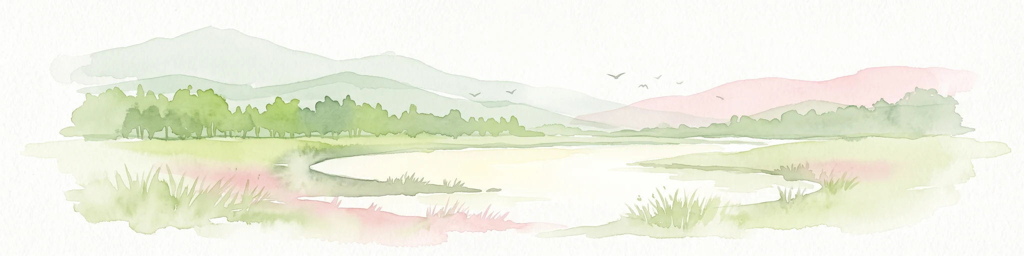
A soft watercolor painting showing a tranquil wetland landscape with calm water, grassy shores, and hazy mountains in the background.
Nature reserveHessen
About 4.5 km away#3 closest

Southwest

Kies- und Sandgrube von Dudenhofen: Regional Nature Reserve and Wetland Mapping

Protected post-extraction landscape in the Hessen region

Kies- und Sandgrube von Dudenhofen protects a distinct network of shallow-water habitats and open-ground terrain near Rodgau. Managed as a nature reserve, this area serves as an essential regional hub for wetland biodiversity, mapping the transition between industrial remnants and regenerated forest ecosystems within the Rhine-Main lowlands.

Area
0.173 km²
Established
1995
IUCN
IV
Nature reserveLandkreis Offenbach
About 4.7 km away#4 closest

North

Kortenbach bei Froschhausen Nature Reserve: Geographic Mapping and Protected Forest Overview

Hardwood floodplain woodland in Landkreis Offenbach

Kortenbach bei Froschhausen protects a compact, groundwater-influenced forest ecosystem within the Offenbach district. This nature reserve acts as a critical refuge for mature broadleaf trees, including the rare European white elm. Our atlas entry focuses on the site's stream-fed terrain and its role as a preserved forest fragment amidst surrounding agricultural and transport infrastructure.

Area
0.405 km²
Established
1998
IUCN
IV
Nature reserveLandkreis Offenbach
About 5.4 km away#5 closest

Southwest

Niederrodener Lache: A Protected Nature Reserve in Landkreis Offenbach, Germany

Brook-side habitat mosaic and regional landscape geography

Niederrodener Lache encompasses 124 hectares of protected woodland and grassland in the Landkreis Offenbach district. Centered on the Lache brook, the reserve hosts a dense interweaving of alder-fringed streams and varied meadow types. Its landscape profile provides a vital refuge for threatened vegetation and wetland biotopes within the suburbanizing Rhine-Main metropolitan area.

Area
1.246 km²
Established
1986
IUCN
IV
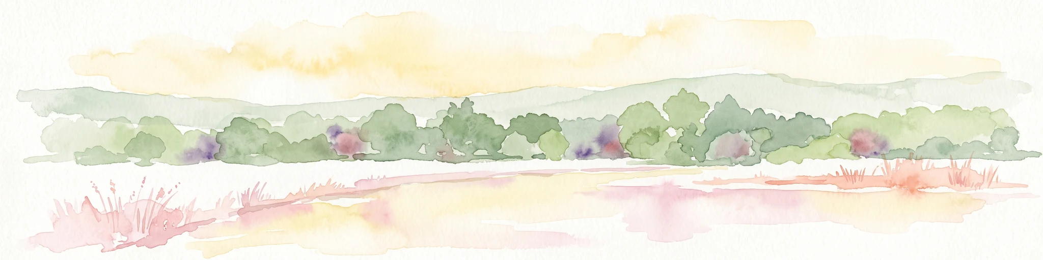
A soft watercolor illustration of a wetland scene with a calm pool of water, grassy banks, a line of trees, and distant rolling hills against a white background.
Nature reserveHesse
About 5.8 km away#6 closest

Northeast

Affelderchen und Rettichbruch von Klein-Welzheim: Protected Wetland Nature Reserve in Hesse

Examining the ecological landscape and hydrology of this German protected area

Affelderchen und Rettichbruch von Klein-Welzheim is a notable nature reserve in Hesse characterized by its wet meadows and marshy woodland. This geographic study covers the protected site's transition from an agricultural lowland depression to a dynamic, beaver-influenced wetland system that supports endangered plant species and diverse breeding avian populations.

Area
0.512 km²
Established
1983
Relief
Lowland
Scope
Terrestrial
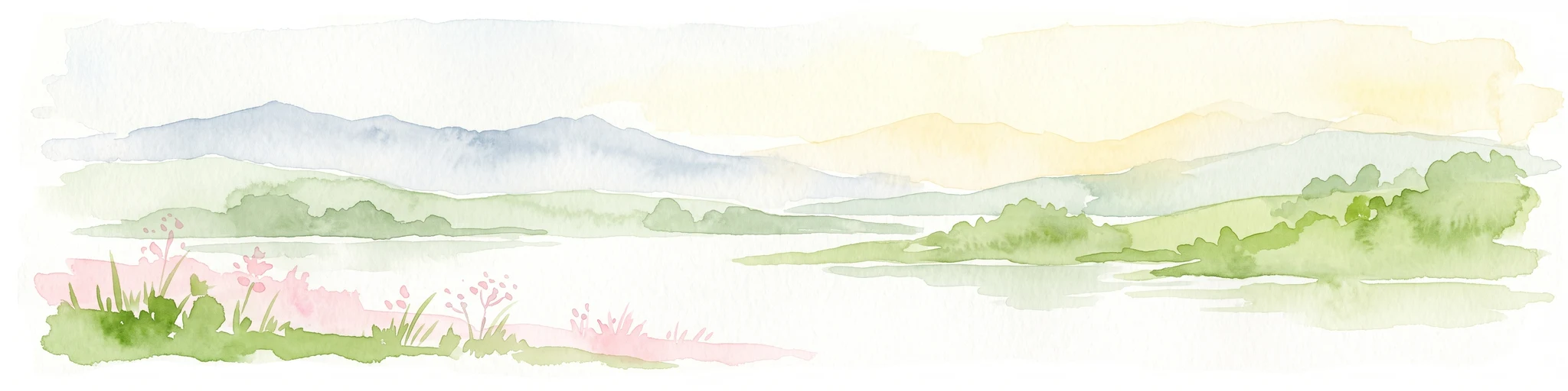
A pale, horizontal watercolor painting showing a grassy floodplain, scattered deciduous trees, a gentle path or stream winding through the center, and a soft, pastel-toned sky.
Nature reserveHessen
About 6.1 km away#7 closest

North

Pechgraben bei Klein-Krotzenburg Nature Reserve in the Hessen Protected Landscape Network

A preserved mosaic of ancient floodplain terrain and wetland habitats.

Located in the Offenbach district, this nature reserve protects a rare post-glacial flood channel of the Main river. The site exhibits a diverse landform mosaic, ranging from near-natural broadleaf forests to expansive sedge marshes. It functions as a critical protected geography for regional species, maintaining its ecological character against the surrounding agricultural and residential development of the Lower Main valley.

Area
0.341 km²
Established
1998
IUCN
IV
Relief
Lowland
Watercolor painting of a soft landscape showing a light orange foreground, a band of green trees and bushes in the midground, and faint rolling hills against a pale yellow sky in the background.
Nature reserveLandkreis Darmstadt-Dieburg
About 6.2 km away#8 closest

South

Brackenbruch bei Hergershausen: Nature Reserve and Floodplain Ecosystem in Darmstadt-Dieburg

Protected wetland landscapes and Lache stream geography

Located in the Darmstadt-Dieburg district, Brackenbruch bei Hergershausen preserves a characteristic lowland floodplain mosaic. The terrain includes wet meadows, reed beds, and developing oak-hornbeam forests that reflect the natural vegetation of the southern Hessian river valleys. This site maintains essential wetland habitats for regional biodiversity within its protected boundaries.

Area
0.523 km²
Established
1999

Common questions about visiting, size, designation, and location context for Rotsohl und Thomassee von Dudenhofen

Rotsohl und Thomassee von Dudenhofen FAQs for park facts, access, geography, and protected area context

Find quick answers about Rotsohl und Thomassee von Dudenhofen, including protected-area facts, park geography, trail and visitor context, and how the park fits into its surrounding country and regional landscape.
MoriAtlas Explorer

Continue Your Protected Areas Search Across the Global Atlas

Deepen your exploration by continuing the structured search for national parks and protected areas worldwide. Utilize the comprehensive filtering capabilities to compare different conservation landscapes and refine your understanding of global park geography. Discover more about the distribution and characteristics of protected natural areas.

Global natural geography