Mori Atlas logo
Park earthquake history

Reviewing documented seismic events by date, magnitude, and proximity to forest boundaries.

Historical Catalogue of Recorded Earthquakes Near Shoshone National Forest in Wyoming

This collection presents a catalogue of historical seismic events recorded in the geographic vicinity of Shoshone National Forest. Each record details specific earthquake metrics including date, magnitude, depth, and the calculated distance of the epicentre from the forest boundaries. Access these datasets to evaluate historical seismic patterns across the mountainous terrain of the Absaroka, Beartooth, and Wind River ranges.

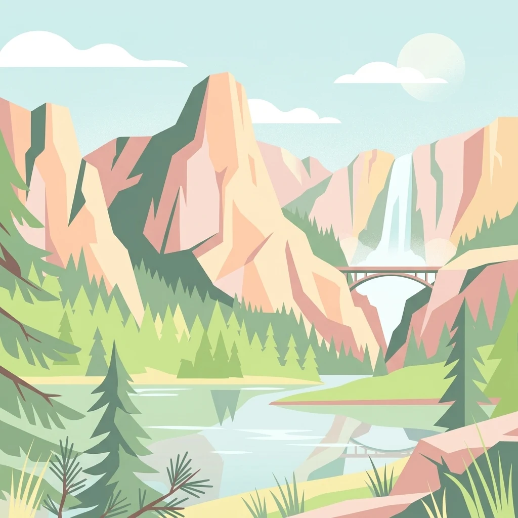
A flat-style digital illustration of a mountain range, a tall waterfall, an arched bridge, a forest of pine trees, and a river reflecting the scene.

America's first national forest, spanning the Greater Yellowstone Ecosystem.

Shoshone National Forest

Shoshone National Forest is the first federally protected national forest in the United States, set aside as part of the Yellowstone Timberland Reserve in 1891 and signed into law by President Benjamin Harrison. It covers nearly 2.5 million acres across the mountainous interior of northwestern Wyoming, bordering Yellowstone National Park to the west and stretching between the Absaroka, Beartooth, and Wind River ranges. The forest is a central component of the Greater Yellowstone Ecosystem, a vast contiguous block of federally protected land that supports one of the most intact assemblages of native flora and fauna in the lower 48 states. Elevations span more than 9,000 vertical feet, from sagebrush lowlands near Cody to glacier-capped granite peaks of the Wind River Range, including Gannett Peak, the highest point in Wyoming. Shoshone protects over half of its acreage as designated wilderness, anchoring major wilderness areas such as the Fitzpatrick, North Absaroka, Washakie, Popo Agie, and a portion of the Absaroka-Beartooth. The forest is recognized for its historic significance as the birthplace of American national forest policy, for its dramatic mountain scenery, for its populations of grizzly bears, gray wolves, bighorn sheep, and elk, and for its role as a gateway to Yellowstone. It is also the first federally protected land of any kind in the United States, giving it a unique place in the history of American conservation.

Location
United States of America
Park type
Protected landscape
Established
1891
Area
9,992.7 km²
Highest point
4,207 m
Shoshone National Forest Geography

Search Shoshone National Forest events by depth and distance

Explore historical earthquake records around Shoshone National Forest

Shoshone National Forest’s historical earthquake set is linked through mapped epicentres and computed forest distance, rather than treating all records as events inside its mountain landscape. Event time, magnitude, depth, reported place, separation, and citations provide comparison evidence without assigning seismic cause to terrain or forest features, assessing current hazard, or forecasting later activity.

Sort by
Magnitude
Location

This page describes catalogued earthquakes associated with the park by epicentre location and distance. It does not establish causation, assess current danger, or predict future earthquakes.

No earthquake records match the current filters

Park atlas

Continue after Shoshone National Forest earthquake records

Discover other protected destinations beyond Shoshone National Forest

The parks shown next broaden exploration beyond America’s first national forest and the Greater Yellowstone landscape. They have been selected for discovery, not because their geology, management, seismic exposure, or source coverage matches Shoshone.
A soft, minimalist watercolor painting of a serene lake nestled among rolling hills under a gentle, pastel-toned sky.
Protected landscapeWyoming
Park boundaries overlap#1 closest

South

Fitzpatrick Wilderness: Exploring the Rugged Protected Landscapes of Western Wyoming

A core alpine environment within the Wind River Range.

Fitzpatrick Wilderness represents one of the most uncompromisingly wild segments of the Wind River Range, featuring persistent glaciers, dramatic U-shaped valleys, and high granite spires. This protected landscape offers a deep look into the alpine geography of Wyoming, preserved under the Wilderness Act to maintain its rugged character, remote glacial cirques, and intricate mountain ecosystems.

Area
803.4 km²
Established
1976
IUCN
Ib
Relief
Mountain
A pale, wide watercolor landscape illustration depicting mountain peaks above a line of evergreen trees and a flat foreground.
Protected areaWyoming
Park boundaries overlap#2 closest

South

Popo Agie Wilderness: Protected Landscapes in the Wyoming Wind River Range

High-altitude alpine terrain and glacial basins

The Popo Agie Wilderness in Wyoming encompasses a dramatic vertical landscape, ranging from forested valleys to alpine summits above 13,000 feet. This protected area features the iconic Cirque of the Towers, dense hydrological networks of glacial tarns, and expansive granite formations that anchor its identity within the Greater Yellowstone Ecosystem.

Area
412.3 km²
Established
1984
IUCN
Ib
Relief
Mountain
National parkWyoming
Park boundaries overlap#3 closest

West

Yellowstone National Park: US National Park Protected Landscape & Geographic Atlas

Explore mapped boundaries and regional natural landscape context.

Yellowstone National Park represents a significant protected landscape within Wyoming, designated as a US national park. This entry offers detailed insight into its geographic scope, mapped boundaries, and the unique natural terrain that defines it. Understand its role in regional geography and discover its protected-area identity through a structured atlas exploration, providing context for its conservation landscape.

Area
8,983.18 km²
Established
1872
IUCN
II
Visitors
4.7M annual
National parkUnited States of America
28 km away#4 closest

Southwest

Grand Teton National Park: Protected Landscape and Geographic Atlas Exploration

Explore the mapped terrain and regional park geography.

Grand Teton National Park is a protected landscape offering rich geographic discovery opportunities within the United States of America. This detailed entry facilitates an atlas-style exploration of its mapped boundaries, the surrounding regional geography, and its identity as a significant national park. Understand the specific landscape context and discover its placement within the broader natural terrain of North America.

Area
1,300 km²
Established
1929
IUCN
II
Visitors
2.8M annual
Wildlife reserveWyoming
60 km away#5 closest

Southwest

Jedediah Smith Wilderness: Protected Alpine Terrain and Teton Range Geography

Glacially sculpted high-country basins in western Wyoming

Spanning the western face of the Teton Range, the Jedediah Smith Wilderness serves as a federally protected buffer for iconic mountain landscapes. The region features dramatic cirques, hanging valleys, and dense subalpine forest habitats, forming an essential, roadless link within the broader Greater Yellowstone Ecosystem. Explore the terrain features and structural geography that define this remote high-country wilderness area.

Area
499.59 km²
Established
1984
IUCN
Ib
Relief
Mountain
Protected landscapeMontana
76 km away#6 closest

Northeast

Bighorn Canyon National Recreation Area: Maps and Protected Landscape Geography

A reservoir-anchored protected area in the Montana high desert

Defined by its striking contrast between deep blue reservoir water and sheer canyon walls, Bighorn Canyon National Recreation Area protects an essential arid landscape in the Mountain West. This region encompasses portions of the Pryor Mountains and the historic Bad Pass Trail, offering a window into the intersection of vast high-desert plains and rugged mountain terrain.

Area
486.82 km²
Established
1966
Visitors
217.7K annual
Relief
Upland
Wildlife reserveMontana
83 km away#7 closest

Northwest

Lee Metcalf Wilderness: Geographic Profile and Protected Landscape Boundaries in Montana

Mapping rugged alpine terrain across four distinct mountainous units

Located in southwestern Montana, the Lee Metcalf Wilderness serves as a cornerstone of ecological connectivity within the Greater Yellowstone Ecosystem. Spanning over 250,000 acres, this protected area features a unique fragmented geography consisting of the Bear Trap Canyon, Spanish Peaks, Taylor-Hilgard, and Monument Mountains units. The landscape is defined by its roadless mountain ridges, forested slopes, and deep river corridors, providing essential sanctuary for large mammal populations.

Area
1,029.07 km²
Established
1983
IUCN
Ib
Relief
Mountain
A watercolor painting showing a stylized landscape with a light blue lake, soft green rolling hills, and hints of red rock cliffs against a white background.
Protected areaWyoming
117 km away#8 closest

South

Flaming Gorge National Recreation Area: Protected Reservoir and Canyon Landscape Atlas

High desert geography and canyon terrain on the Wyoming and Utah border.

Flaming Gorge National Recreation Area features a complex geography where the Green River carves through vivid red sandstone cliffs. This protected area integrates large-scale reservoir management with mountain forest slopes and diverse river corridors, creating a unique mapped landscape that reflects the geologic character of the intermountain West.

Area
839.17 km²
Established
1968
Relief
Upland
Climate
Arid
MoriAtlas Explorer

Explore the Mapped Geography and Protected Terrain of Shoshone National Forest

Navigate the complex landscape and ecological significance of Shoshone National Forest through our detailed geographic data. Learn how this foundational protected area anchors the Rocky Mountains and the Greater Yellowstone Ecosystem for deeper atlas exploration.

Global natural geography