Mori Atlas logo
Park earthquake history

Review documented earthquake data points associated with the local terrain in the Central Bohemian region.

Historical Catalogue of Recorded Seismic Events and Epicentres Near Smradovna

This historical catalogue compiles recorded seismic activity associated by epicentre proximity with Smradovna in the Central Bohemian Region of the Czech Republic. Users can browse specific event records featuring magnitude, depth, and geolocation data derived from regional seismic archives. The database provides a transparent record of historical epicentres identified near the protected stream valley corridors and forest habitats, offering a factual perspective on local regional seismic history.

Related tags

natural monumentCentral BohemiaKladno Districtstream valleypetrifying springs

A Central Bohemian stream-valley sanctuary protecting tufa springs, alkaline fens, and rare lowland forest communities.

Smradovna

Smradovna is a natural monument in the Kladno District of the Central Bohemian Region of the Czech Republic, established on 10 June 2014. The protected area follows the valleys of the Zichovecký and Samotínský streams northwest of the village of Bílichov, occupying roughly 156 hectares of lowland stream corridor and forested slopes between about 337 and 423 metres in elevation. The site protects a compact mosaic of habitats that are unusually rich for its modest elevation range. Travertine-forming petrifying springs, base-rich fens, Central European limestone beech forests, old acidophilous oak forests dominated by pedunculate oak, and ash-alder alluvial woodlands all occur within the boundary. It also supports populations of two strongly protected plant species: lady's slipper orchid and lily-of-the-valley bellflower. Smradovna sits directly adjacent to the national natural monument Cikánský dolík along its northern edge, giving the two protected areas a continuous ecological character. The combined landscape forms one of the more botanically significant lowland stream valleys in central Bohemia.

Location
Czechia
Park type
Natural monument
Established
2014
Area
1.6 km²
Highest point
423 m
Smradovna Protected Area Geography

Inspect Smradovna records by magnitude and distance

Explore past earthquake observations in the wider Smradovna area

For Smradovna, earthquake reports are associated by epicentre position and measured distance from the protected Central Bohemian stream valley and petrifying springs. The collection preserves dates, magnitudes, depths, reported localities, separation values, and sources for factual historical comparison without assigning seismic cause or impact to the springs, valley, or monument.

Sort by
Magnitude
Location

This page describes catalogued earthquakes associated with the park by epicentre location and distance. It does not establish causation, assess current danger, or predict future earthquakes.

No earthquake records match the current filters

Park atlas

Go from Smradovna earthquake records to more parks

Continue discovering protected destinations beyond Smradovna

From the Smradovna earthquake records, continue to an unrelated range of parks and protected destinations. Their appearance does not establish common natural features, protected status, biodiversity, geology, seismic conditions, nearby geography, hazard, risk, or matching evidence availability.
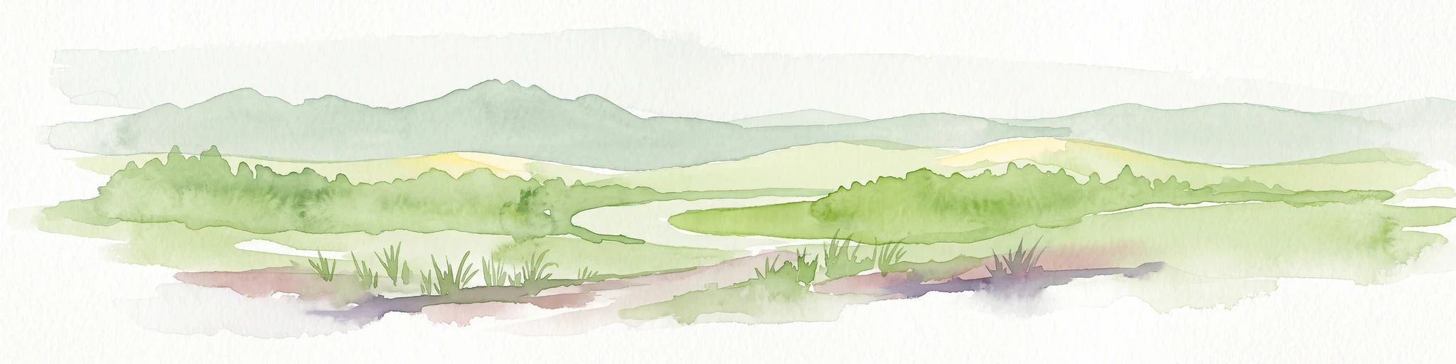
Watercolor illustration of a peaceful, open landscape with gentle hills in the background and clusters of trees in the foreground.
Nature reserveStředočeský kraj
About 1.8 km away#1 closest

South

Na Pilavě Nature Reserve: A Detailed Botanical Atlas of the Středočeský kraj Landscape

Mapping protected orchid habitats and forest flora in the Džbán highland.

Na Pilavě is a specialized nature reserve in the Kladno District, valued for its dense concentration of rare woodland orchids and the critically endangered black false hellebore. Set within the forested slopes of the Pilavské údolí, this protected area serves as a vital refuge for thermophilic plant communities and ancient deciduous forest flora.

Area
0.031 km²
Established
1969
IUCN
IV
Relief
Upland
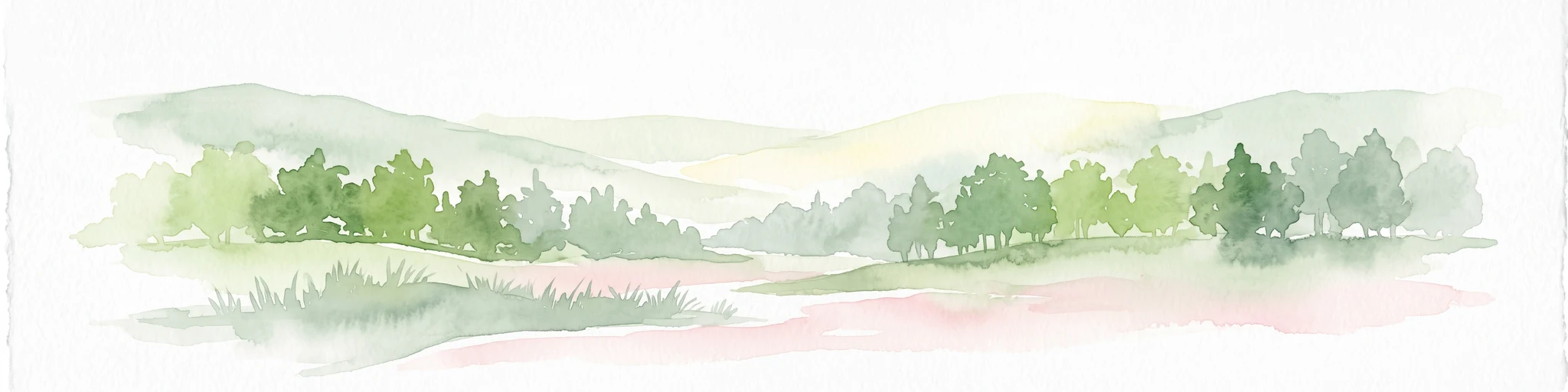
A soft, light-toned watercolor painting depicting a green, hilly landscape with a winding path in the foreground.
Protected landscapeStředočeský kraj
About 9.6 km away#2 closest

West

Přírodní park Džbán: Geography and Protected Landscape Analysis of the Džbán Ridge

Forested highland and hydrological center of Středočeský kraj

Přírodní park Džbán encompasses a significant Cretaceous plateau and mixed-woodland system that functions as a triple watershed for three major river basins. The park preserves a rich mosaic of thermophilic plants and woodland fauna while maintaining the characteristic opuka geological features that define the vernacular architecture of this central Bohemian region.

Area
416 km²
Established
1994
Relief
Upland
Climate
Temperate
Natural monumentÚstecký kraj
9.9 km away#3 closest

Northeast

V hlubokém Natural Monument: Protected Calcareous Landscapes and Terrain in Ústecký kraj

A study of rare sesleria grasslands and opuka slope geography

V hlubokém serves as a significant protected site in the Czech Republic, encompassing twenty hectares of hillside defined by soft calcareous opuka rock. This natural monument is recognized for its rare sesleria grasslands and thermophilic plant assemblages that contrast with the surrounding woodland. The protected area forms a critical link in the broader geography of the Débeř valley, offering a clear example of localized botanical diversity supported by unique alkaline substrate conditions.

Area
0.202 km²
Established
1947
IUCN
III
Relief
Upland
A wide watercolor painting showing a landscape of green hills, scattered trees, and distant pink and purple mountains under a pale sky.
Natural monumentStředočeský kraj
11 km away#4 closest

Southeast

Smečno Natural Monument: A Protected Woodland Ecosystem in Středočeský Kraj

Geography and conservation mapping in the Czech Republic

Located in the Kladno District, Smečno Natural Monument preserves mature deciduous trees essential for the survival of the hermit beetle. The site acts as a geographical link between distinct landform units, offering a clear look at how small, cavity-rich forest patches maintain ecological connectivity within the broader Central Bohemian landscape.

Area
0.772 km²
Established
2012
IUCN
IV
Relief
Upland
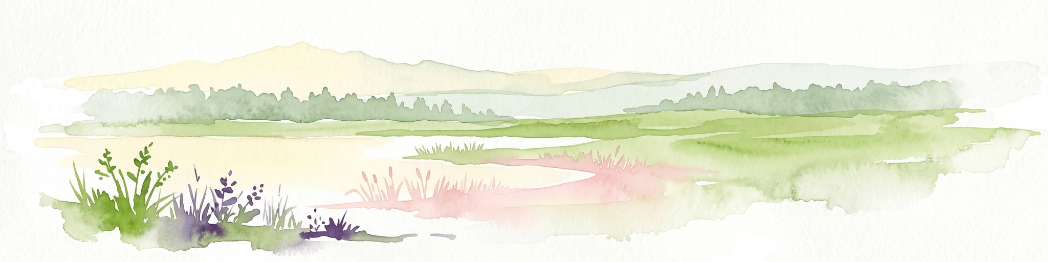
A soft, painterly watercolor illustration of a wetland scene with gentle green fields, faint distant hills, and low-growing vegetation in the foreground against a white background.
Natural monumentStředočeský kraj
About 12 km away#5 closest

South

Na Novém rybníce Natural Monument: Wetland Geography and Protected Area Atlas

A diverse protected mosaic of meadows and pond basins

Examine the detailed landscape of Na Novém rybníce, an ecologically rich natural monument in the Středočeský kraj. This protected area showcases a compact assemblage of pond, reed marsh, and rare fen meadow vegetation that illustrates the unique character of lowland Bohemian wetlands.

Area
0.054 km²
Established
1990
IUCN
III
Relief
Lowland
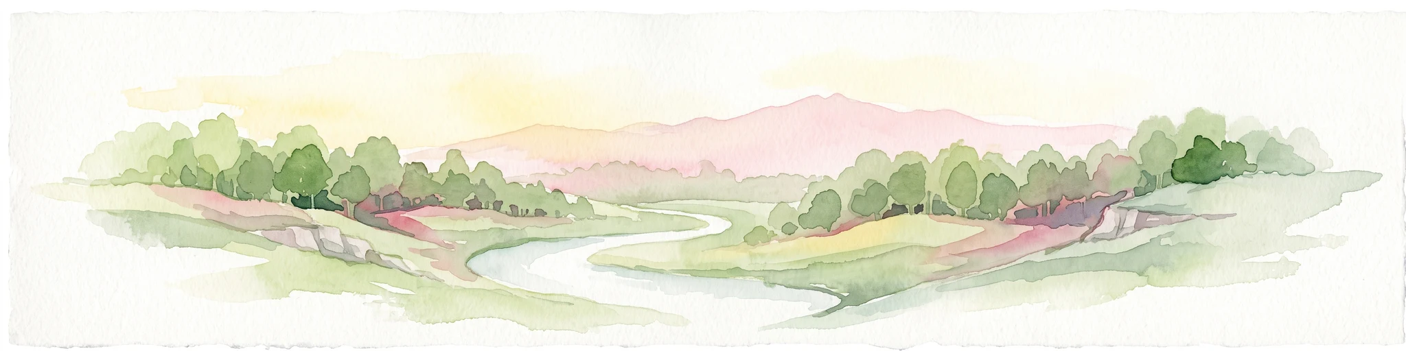
A horizontal watercolor painting showing a winding stream flowing through a lush, green valley with rolling hills and distant mountains under a soft light.
Natural monumentCentral Bohemian Region
About 13 km away#6 closest

Southeast

Smečenská rokle Natural Monument: Geological Gorge and Protected Landscape

Geological cross section in the Central Bohemian Region

Smečenská rokle is a compact natural monument featuring a deep erosional canyon cut into the marlstone plateau. The site offers a detailed stratigraphic view of Bohemian Cretaceous Basin sediments while preserving rare patches of scree and ravine forest within the broader agricultural environment of Central Bohemia.

Area
0.062 km²
Established
1987
IUCN
III
Relief
Upland
Watercolor painting of a pastoral landscape featuring rolling green hills, patches of trees, and a river flowing through the center.
Natural monumentStředočeský kraj
About 13 km away#7 closest

East

Slánská hora Natural Monument: Volcanic Geography and Protected Hilltop Terrain in Central Bohemia

Detailed geological mapping of a Tertiary volcanic outlier and historic monument

Slánská hora functions as a significant geological landmark where basaltic vent remnants meet centuries of human history. This natural monument offers a window into the volcanic processes of the region through exposed columnar basalt and rock fissures. The site serves as a vital protected area, balancing remnants of warm-loving steppe vegetation and deciduous forest with the legacy of former quarries and ancient archaeological strata atop the Slaný ridge.

Area
0.022 km²
Established
1998
IUCN
III
Relief
Mountain
Natural monumentStředočeský kraj
About 15 km away#8 closest

Southeast

Vinařická hora Natural Monument: A Volcanic Geography and Protected Terrain Study

Key protected area and geological landmark in the Středočeský kraj region.

Vinařická hora is a compact, asymmetric hill serving as a vital natural monument for the study of Tertiary volcanic processes and dry-slope plant communities. Its abandoned quarries provide a clear stratigraphic record of ash and lava, while its summit offers panoramic views across the central Bohemian plateau. This site represents a convergence of deep geological history and specialized modern habitat preservation.

Area
0.684 km²
Established
1985
IUCN
III
Relief
Upland
MoriAtlas Explorer

Explore the Geographic Boundaries and Protected Landscape of Smradovna

Examine the mapped footprint and ecological features of Smradovna, a notable natural monument in the Stredocesky kraj region. MoriAtlas provides a clear understanding of the site's stream valley distribution, forest habitats, and its immediate connection to neighbouring protected areas. Begin your exploration of this unique Bohemian landscape and its conservation-significant habitats here.

Global natural geography