
Mori Atlas logo
Park earthquake history

A comprehensive collection of historical seismic events mapped by epicentre distance to park boundaries.

Te Rau Pūriri Regional Park Historical Earthquake Catalogue and Recorded Seismic Activity

This historical catalogue provides a structured overview of seismic activity recorded in the surrounding geography of Te Rau Pūriri Regional Park. Each entry details the timing, magnitude, and depth of events to clarify their geographic proximity to the park landscape on the South Kaipara Head. Explore this dataset to understand the recorded seismic context of the Auckland Region through a transparent, evidence-based collection of past occurrences.

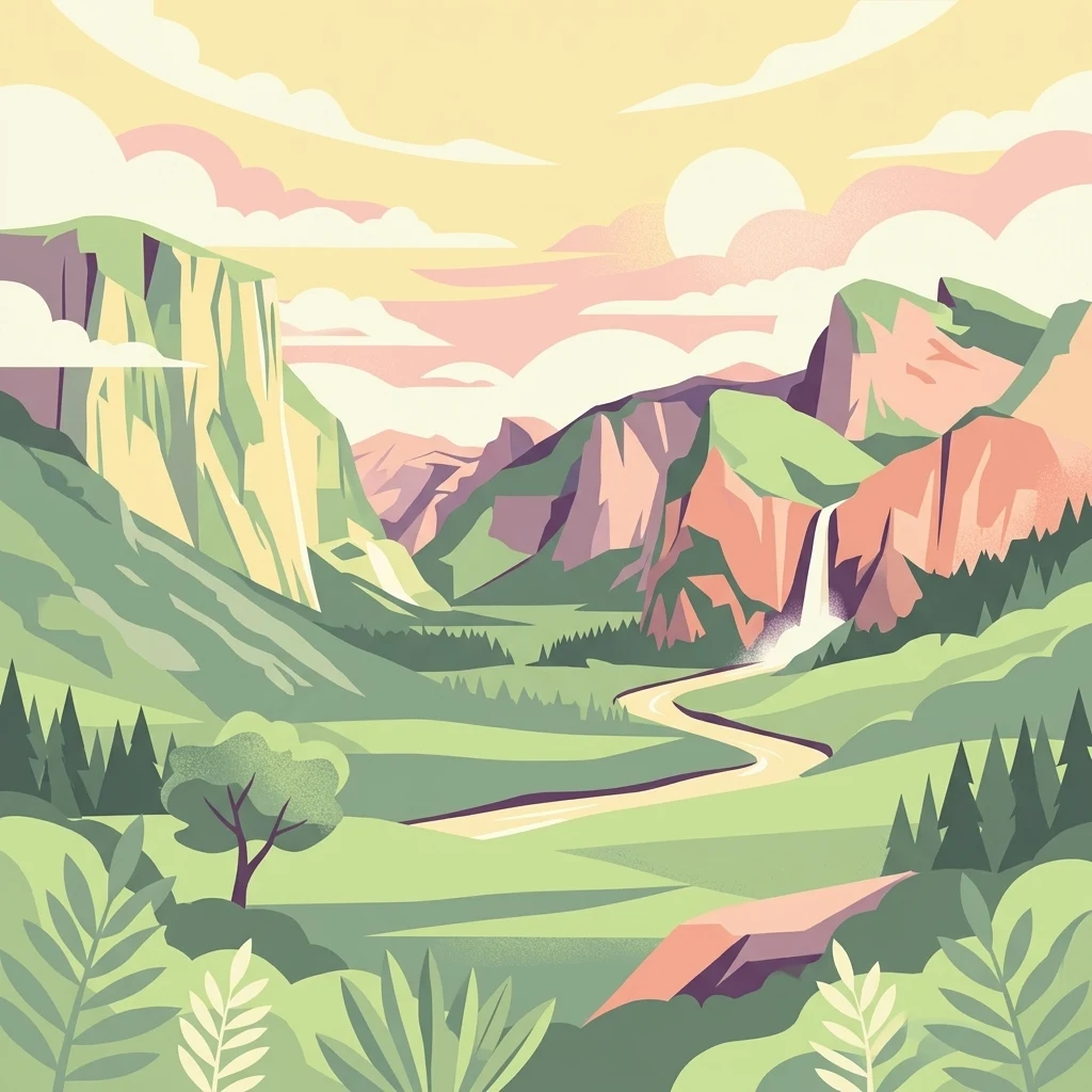
An illustration of a lush mountain valley featuring steep cliffs, a winding stream, a waterfall, and evergreen trees under a soft, pastel-colored sky.

A coastal North Island park of working farmland, regenerating native forest, and Kaipara Harbour shoreline.

Te Rau Pūriri Regional Park

Te Rau Pūriri Regional Park is a regional park in the Auckland Region of New Zealand's North Island, owned and operated by Auckland Council. It is located on the east coast of the South Kaipara Head, a peninsula jutting into the expansive Kaipara Harbour on the northwestern edge of the Auckland region. The park's landscape combines rolling pastoral farmland with long sandy beaches at Waipiro Bay, alongside patches of introduced plantation trees and sections of regenerating native coastal forest. Planted eucalyptus and poplar stands contrast with native kanuka, rewarewa, and coastal pūriri forest that is gradually reclaiming former pasture edges. To the south, the adjoining Wairotoroto wetland adds estuarine habitat to the protected landscape. Although relatively small in regional park terms, Te Rau Pūriri offers a distinctive mix of working-farm heritage, regenerating bush, and harbour coastal character, with a name gifted by local Māori elders that reflects the native forest the park was established to protect.

Location
New Zealand
Park type
Regional park
Established
2006
Area
2.5 km²
Te Rau Pūriri Regional Park Geography

Review source-reported epicentres around its lowland coast, beach, forest and wetland

Trace earthquake observations near Te Rau Pūriri Regional Park

Explore earthquake records around Te Rau Pūriri Regional Park, a 2.49 km² terrestrial lowland park of coast, beach, forest and wetland with minor water presence; search date, magnitude, depth, locality and park separation with source access. Geographic association does not prove boundary occurrence, coastal effects, present hazard, causation or future activity.

Sort by
Magnitude
Location

This page describes catalogued earthquakes associated with the park by epicentre location and distance. It does not establish causation, assess current danger, or predict future earthquakes.

No earthquake records match the current filters

Park atlas

Continue beyond Te Rau Pūriri Regional Park earthquake data

Explore other protected areas after Te Rau Pūriri Regional Park

Continue from Te Rau Pūriri Regional Park's earthquake records into a distinct collection of protected destinations; the source is a 2.49 km² terrestrial lowland regional park in New Zealand with coast, beach, forest, wetland, and minor water presence. The following cards are navigational suggestions only, not assertions of shared geography, status, seismic evidence, distance, or danger.
Regional parkAuckland Region
37 km away#1 closest

East

Te Muri Regional Park: Mapped Coastal Peninsula and Estuarine Geography in Auckland

Protected native forest and tidal estuary landscapes

Te Muri Regional Park presents a unique peninsular landscape situated between the Puhoi River and Te Muri O Tarariki Stream in Auckland. This protected area showcases a complex interface between native coastal forest and tidal ecosystems, offering clear mapped boundaries that connect to the wider Hauraki Gulf coastal belt. Explore the topographical transition from sea level estuaries to rolling hill country.

Area
4.44 km²
Established
2010
Relief
Upland
Scope
Terrestrial
Regional parkAuckland Region
38 km away#2 closest

East

Wenderholm Regional Park: Coastal Forest and Estuary Geography in the Auckland Region

Mapped protected landscapes of a coastal New Zealand peninsula

Situated on a narrow peninsula north of Auckland, Wenderholm Regional Park offers a compact study in diverse coastal terrain. The park encompasses the forested Maungatauhoro headland, the tidal Puhoi sandspit, and riverine boundaries that create a distinct protected environment. Since its 1965 founding, the area has become a haven for native bird restoration and coastal vegetation, providing a unique vantage point across the Hauraki Gulf.

Area
1.35 km²
Established
1965
Relief
Mixed relief
Climate
Temperate
A soft, pale watercolor illustration depicting a winding stream flowing through a lush, green landscape with gentle hills in the background.
Nature reserveNew Zealand
About 43 km away#3 closest

Southeast

Goldie Bush Scenic Reserve: Protected Forested Landscapes in West Auckland, New Zealand

A study in regenerating bush and Mokoroa Stream topography

Goldie Bush Scenic Reserve encompasses a dense, sheltered catchment valley known for its native forest canopy and the prominent Mokoroa Falls. Once heavily logged, this protected area now serves as an example of ecological restoration in the Waitākere Ranges. The reserve maps a blend of cultural history, including Māori fortification sites, against a backdrop of steep ridges and humid, stream-fed lowland terrain.

Area
2.49 km²
Established
1926
Relief
Upland
Scope
Terrestrial
A soft watercolor illustration showing the low-lying shape of Motuora Island surrounded by calm water, with a distant hilly coastline in the background.
Nature reserveNorth Island
About 46 km away#4 closest

East

Motuora Nature Reserve: Protected Coastal Island Geography and Restoration Map

Predator-free ecological sanctuary in the Hauraki Gulf

Motuora occupies a key position in the Hauraki Gulf, offering a well-mapped look at coastal island restoration in New Zealand. This protected area features a regenerated forest interior and cliff-edged terrain, serving as an important mainland-island site for avian conservation, including kiwi and petrel colonies.

Area
0.8 km²
Established
1965
Relief
Lowland
Climate
Subtropical
Regional parkAuckland Region
47 km away#5 closest

Northeast

Te Ārai Regional Park: Mapping Coastal Dune Systems and Protected Geography in Auckland

A protected coastal landscape featuring expansive dune systems and northern headlands.

Te Ārai Regional Park sits as a major protected coastal area on the northern edge of the Auckland Region. Its primary defining feature is an expansive system of sand dunes that anchor a diverse coastal environment. Extending southward toward Poutawa Stream and bordered by the Mangawhai Forest, the park represents a critical geography for endangered species breeding and provides a distinct topographic profile along the North Island coast.

Established
2008
Relief
Lowland
Climate
Subtropical
Access
Easy access
A watercolor painting showing a soft, bright landscape with green grasses and wildflowers on both sides of a calm, pale blue body of water, with a green coastline in the distance.
Marine protected areaNew Zealand
51 km away#6 closest

Northeast

Cape Rodney-Okakari Point Marine Reserve: New Zealand Marine Protected Area Geography

Mapped coastal boundaries and marine ecosystem terrain

Delve into the geography of Cape Rodney-Okakari Point Marine Reserve, where protected waters meet a complex interface of greywacke bedrock and sandy substrates. This assessment highlights the ecological transition from exposed rocky headlands to sheltered Whangateau Harbour, illustrating the structural depth of New Zealand's foundational marine site through its diverse invertebrate and fish habitats.

Area
5.5 km²
Established
1975
IUCN
Ia
Visitors
200K annual
A pale, minimalist watercolor painting showing a grassy island or shoreline with a small cluster of trees, set against a quiet body of water and soft, distant rolling hills.
Protected areaAuckland Region
About 54 km away#7 closest

Southeast

Motumānawa / Pollen Island: Protected Marine Reserve and Scientific Landscape in Auckland

A coastal shellbank island refuge within the Waitematā Harbour.

Motumānawa / Pollen Island is an essential protected area near the Rosebank Peninsula, serving as a sanctuary for native bird populations and estuarine vegetation. Its status as both a scientific and marine reserve highlights the importance of small-scale coastal conservation within a major metropolitan harbour landscape in New Zealand.

Established
2006
Relief
Lowland
Scope
Marine
Water
Water-dominated
Regional parkAuckland Region
About 57 km away#8 closest

Southeast

Waitākere Ranges Regional Park: Geographic Mapping of Auckland's Protected Coastal Forest

Volcanic terrain and expansive coastal wilderness boundaries

Examine the rugged geography of the Waitākere Ranges, spanning from sheer western sea cliffs to lush, regenerating forest valleys. This overview details the protected land, including volcanic rock formations, black sand surf beaches, and the inland reservoirs serving the Auckland region, highlighting its status as an ecologically critical heritage area.

Area
277.2 km²
Established
1895
Relief
Mountain
Climate
Subtropical
MoriAtlas Explorer

Explore the Protected Landscapes of Te Rau Pūriri Regional Park

Continue mapping the geographic features of Te Rau Pūriri Regional Park, from the shores of Waipiro Bay to the inland ridges of the South Kaipara Head. Utilize MoriAtlas to understand the intersection of working pastoral land and regenerating native forest within this Auckland regional protected area.