
Streams
Park geography
Detailed analysis of terrain elevations, mountain features, and protected area spans.
Geographic Profile and Mapped Boundaries of Teide National Park in Tenerife, Spain
This geographic profile examines the structural composition of Teide National Park, covering an area of 189.9 square kilometers across Tenerife. The documentation provides insights into its maximum elevation of 3,718 meters, regional administrative context, and prominent natural features such as Pico Viejo, Guajara, and Montaña Blanca.
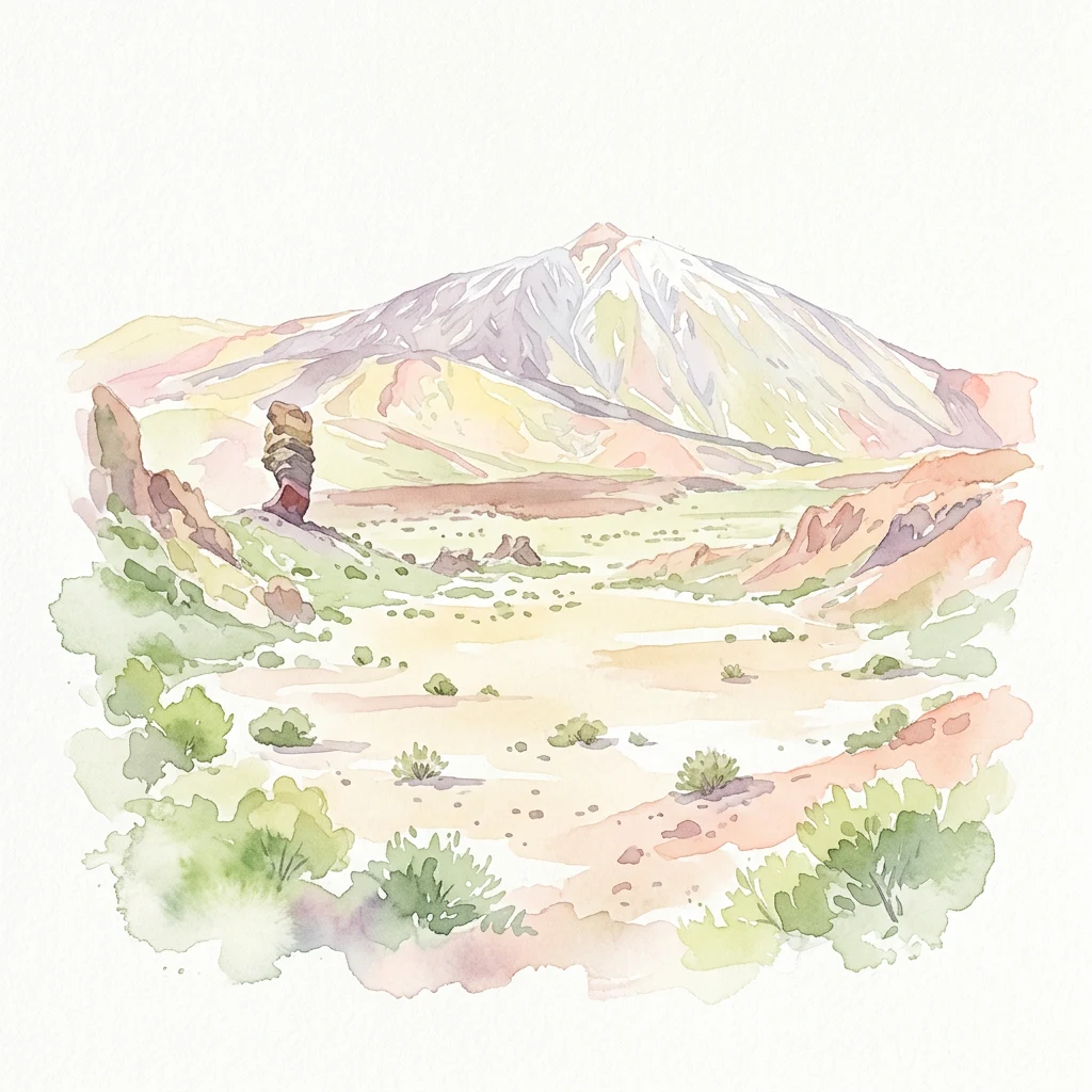
Spain's highest volcanic peak and most visited national park, protecting a dramatic Canary Islands landscape of global scientific significance
Teide National Park
Teide National Park occupies the central highlands of Tenerife in Spain's Canary Islands, centered on Mount Teide, the highest peak in Spain and the tallest volcano in the Atlantic Ocean islands. The park encompasses approximately 18,990 hectares of volcanic terrain centered around the Las Cañadas caldera, a vast crater formed by ancient eruptions. Mount Teide rises to 3,718 meters above sea level, making it the third tallest volcano in the world when measured from its base on the ocean floor at 7,500 meters. Pico Viejo, the second highest peak in the Canary Islands at 3,135 meters, also falls within the park boundaries. The landscape features dramatic lava flows, rock formations, and volcanic features that create one of Europe's most distinctive protected landscapes. Established in 1954, the park welcomes over 4 million visitors annually, making it the most-visited national park in Spain and one of the most visited in the world.
- Location
- Spain
- Park type
- National park
- Established
- 1954
- Area
- 189.9 km²
- Highest point
- 3,718 m
Location overview
Regional administrative boundaries and island park status in Spain
Geographic Location of Teide National Park in Tenerife, Spain
Teide National Park is situated within the region of Tenerife in Spain. The protected landscape holds a dedicated island park status without transboundary or marine classifications.
- Countries
- Spain
- Regions
- Tenerife
- Primary location
- Tenerife
- Geographic setting
- Inland · Island
Boundary and coordinates
Interactive boundary geometry, area metrics, and spatial coordinates
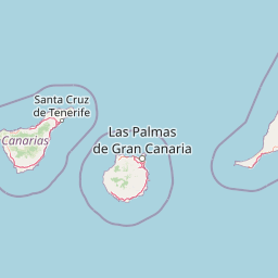
Teide National Park Boundary Map and Geographic Extent
Mapped park outlines provide spatial context for exploring protected terrain boundaries. Accompanying facts display derived area measurements, perimeter data, and geographic coordinate limits.
- Boundary area
- 190.5 km²
- Boundary perimeter
- 89.1 km
- Northernmost point
- 28.346° N
- Southernmost point
- 28.1915° N
- Easternmost point
- 16.4815° W
- Westernmost point
- 16.7313° W
- Geographic centre
- 28.2649° N, 16.6194° W
- North–south span
- 17.1 km
- East–west span
- 24.5 km
Elevation and terrain
Vertical range summary and recorded natural features within the park
Teide National Park Elevation Profile and Mapped Mountain Terrain
Recorded mountain terrain data provides a peak elevation summary reaching 3718 meters across the protected landscape. Associated feature cards detail individual streams, peaks, and massifs located within the park boundary.
- Maximum elevation
- 3,718 m
- Highest point
- 3,718 m
Selected named natural features
Streams
Hoya de Miguel
Streams
Barranquillo del Colmenar del Alta
Streams
Barranco Icor
Streams
Barranco de la Mula de David
Volcanoes
Montaña Abreu
2,406 m
Environmental setting
Mediterranean climate zones, montane forests, and volcanic relief features
Teide National Park Environmental Setting and Physical Classifications
Stored landscape features, habitat types, and relief classifications form complementary ways to read the physical setting of Teide National Park. Recorded categories link directly to relevant atlas destinations and regional environmental contexts.
- Relief
- Mountain
- Climate
- Mediterranean
- Water
- Minor water
- Forest cover
- Partial forest
- Seasonality
- Year-round
Landscape features
Mountains · Volcano · Valleys · Plateau
Habitat types
Montane forest · Alpine meadow · Temperate broadleaf forest
Park atlas
Trace surrounding landscapes and compare protected area geography across the Canary Islands region
Explore Nearby National Parks and Protected Areas Beyond Teide National Park
Continue your exploration of volcanic national parks and other protected areas, tracing unique island ecosystems and diverse conservation landscapes across the Canary Islands region. Compare how nearby protected zones complement Teide National Park's features, offering a broader geographic understanding of the region's natural heritage.
Protected landscapeTenerife
7.1 km away#1 closest
West

Parque rural de Teno: Volcanic Massif and Protected Landscape Geography in Tenerife
Coastal cliffs, volcanic barrancos, and laurel forest ecosystems.
Parque rural de Teno serves as a primary geographic anchor for northwest Tenerife, encompassing a triangular volcanic block defined by vertical sea cliffs and steep, eroded ravines. This protected landscape preserves unique biodiversity and traditional cultural architecture, offering a comprehensive look at the island's geological and ecological variety from the shoreline to the mist-prone summits.
- Area
- 80.636 km²
- Established
- 1987
- Relief
- Mountain
- Climate
- Mediterranean
Protected landscapeCanarias
24 km away#2 closest
Northeast
Parque rural de Anaga: Mapping the Volcanic Relief and Laurisilva Forests of Canarias
A detailed geographic overview of the Anaga massif protected landscape.
Parque rural de Anaga preserves a dramatic landscape of volcanic plugs, deeply incised valleys, and endemic-rich cloud forests in the Canary Islands. Understand the complex terrain and protected area boundaries that define this historic massif, from its coastal cliffs to its high mountain ridges.
- Area
- 144.187 km²
- Established
- 1994
- Relief
- Mountain
- Climate
- Subtropical
National parkSpain
47 km away#3 closest
West
Garajonay National Park: Ancient Laurisilva Forest and Volcanic Landscapes
Explore Spain's unique protected area with rich geographic context.
Garajonay National Park, a treasure of La Gomera, preserves one of the last stands of Europe's ancient laurisilva forest atop dramatic volcanic terrain. This national park offers a rare opportunity to explore a landscape shaped by persistent cloud cover and unique island evolution. Examine the park's mapped boundaries and distinctive natural features through its detailed geographic profile.
- Area
- 40 km²
- Established
- 1981
- IUCN
- II
- Visitors
- 450K annual
Protected landscapeCanarias
About 92 km away#4 closest
East
Parque rural de Doramas Protected Landscape: Gran Canaria Geographic and Terrain Atlas
Exploring laurel forest strongholds and rugged ravine geography.
Parque rural de Doramas encompasses over 3,500 hectares of diverse northern Gran Canaria terrain, where steep-sided barrancos support rare laurisilva and monteverde vegetation. This protected landscape serves as a living remnant of the island's once-vast indigenous forests, offering a unique opportunity to study the relationship between human-influenced agricultural slopes and wild, humid forest refuges found deep within the island's northern flanks.
- Area
- 35.86 km²
- Relief
- Upland
- Climate
- Mediterranean
- Scope
- Terrestrial
Protected landscapeCanary Islands
About 94 km away#5 closest
East
Parque rural del Nublo: Volcanic Peaks and Protected Highland Terrain in Gran Canaria
Mapping the dramatic erosional landscapes and endemic ecosystems of central Gran Canaria.
Spanning the core of Gran Canaria, Parque rural del Nublo is a vast protected landscape characterized by its rugged volcanic topography. The area features the iconic Roque Nublo monolith, deeply incised barrancos, and a mosaic of pine forests and endemic scrubland. This territory represents a critical intersection of geological evolution and aboriginal history, containing major UNESCO-listed cultural sites within its complex highland boundaries.
- Area
- 267.64 km²
- Established
- 1994
- IUCN
- VI
- Relief
- Mountain
National parkSpain
117 km away#6 closest
Northwest
Caldera de Taburiente National Park: National Park & Geological Heritage Site
Explore its volcanic caldera, mapped ravines, and pine forests.
Caldera de Taburiente National Park is a protected natural area on the island of La Palma, Spain. It encompasses a vast, approximately 10-kilometer-wide volcanic caldera, characterized by immense cliffs, deep ravines, and extensive Canary Island Pine forests. This national park is recognized for its significant geological features and unique landscape, making it a key destination for understanding protected area geography and regional natural heritage.
- Area
- 46.9 km²
- Established
- 1954
- IUCN
- II
- Visitors
- 389K annual
Protected landscapeCanarias
About 236 km away#7 closest
East
Parque rural de Betancuria: Protected Landscape, Fuerteventura, Canarias
A rugged volcanic and geological interior landscape
Investigate the topographical intensity of Parque rural de Betancuria, home to the Betancuria Massif and unique Basal Complex exposures. This protected landscape documents a long history of geological transformation and traditional human adaptation to the arid Fuerteventura environment.
- Area
- 165.443 km²
- Established
- 1987
- Relief
- Mountain
- Climate
- Arid
National parkCanary Islands
269 km away#8 closest
East
Timanfaya National Park: Dramatic Volcanic Landscape in the Canary Islands
Explore Spain's unique geological national park.
Timanfaya National Park offers an extraordinary exploration of volcanic terrain, a protected area that defines geological conservation in the Canary Islands. Its landscape, shaped by powerful eruptions, features vast lava fields, striking volcanic cones, and visible geothermal activity. As Spain's only purely geological national park, Timanfaya provides a unique context for understanding volcanic processes and appreciating the raw beauty of its protected natural environment, serving as a key landmark within the archipelago's geography.
- Area
- 51.07 km²
- Established
- 1974
- IUCN
- II
- Relief
- Mountain
MoriAtlas Explorer
Continue Exploring Teide National Park's Volcanic Geography and Mapped Boundaries
Delve deeper into the unique atlas representation of Teide National Park, understanding its role as a protected volcanic landscape within Tenerife. Examine its geographic features and protected area context to enhance your knowledge of Spain's natural territories and island geography. This exploration offers structured insights into a remarkable protected landscape.
Browse next
Global natural geography
Explore related park routes
Explore MoriAtlas Global ParksBrowse All MoriAtlas ParksGlobal Park Map DiscoveryMoriAtlas: Browse All CountriesBrowse All MoriAtlas ContinentsNational Park Environment AtlasGrand Canyon National Park AtlasYellowstone National Park AtlasYosemite National Park Atlas and GeographySerengeti National Park AtlasGalápagos National Park Protected LandscapeBanff National Park Geography and AtlasKruger National Park Atlas EntryUluṟu-Kata Tjuṯa National Park AtlasExplore Uluru-Kata Tjuta National Park GeographyPlitvice Lakes National Park AtlasFiordland National Park Protected LandscapeGreat Smoky Mountains National Park AtlasAfghanistan National Parks and Protected AreasAlbania National Parks and Protected AreasAlgeria National Parks and Protected AreasAmerican Samoa National Parks and Protected AreasAndorra National Parks and Protected AreasAngola National Parks and Protected AreasAntarctica National Parks and Protected AreasAntigua and Barbuda Park List