Mori Atlas logo
Park earthquake history

Explore a geographic catalogue of historical seismic events linked to the Basque Country coastal landscape.

Recorded Seismic Activity and Earthquake History of the Reserva de la biosfera de Urdaibai

Review a detailed compilation of earthquake records historically associated with the geography of the Reserva de la biosfera de Urdaibai. This data-driven catalogue presents documented seismic events, providing information on event timing, magnitude, and epicentre distance from this unique estuarine and coastal reserve. Each record originates from established geophysical databases to offer context on the regional seismic environment surrounding the Oka estuary and its surrounding ridges.

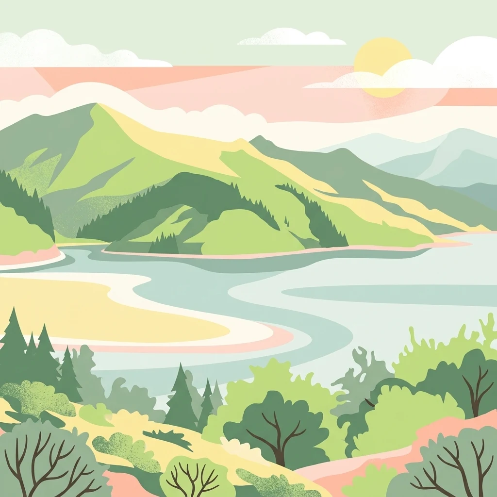
A minimalist, flat-color digital illustration depicting an estuary winding between green hills under a soft sun.

An Atlantic estuary on the Basque coast, protected for its wetlands, woodlands, and migratory birds.

Urdaibai Biosphere Reserve

Urdaibai Biosphere Reserve is a protected coastal and estuarine landscape in the Busturialdea region of Biscay, in the Basque Country of northern Spain. Designated by UNESCO in 1984, it centers on the estuary of the Oka River, which flows through Gernika and empties into the Cantabrian Sea between the towns of Bermeo and Mundaka. The reserve combines a tidal estuary, broad sand flats, Atlantic cliffs and islands such as Izaro, and a ring of low green mountains including the slopes of Mount Oiz. The ecological heart of Urdaibai is its marshland, the largest and best preserved in the Basque Country and one of the most important wetland complexes on the Cantabrian and Atlantic coast of the Iberian Peninsula. Together with the Marismas de Santoña it forms a key refuge for migratory birds and an internationally recognized wintering site for waterfowl along the East Atlantic Flyway. Cantabrian oak forests of holm oak and strawberry tree, Atlantic oak woodlands, planted conifer forests, and karst limestone hills create a striking diversity of nearby habitats. Beyond its natural value, Urdaibai encompasses a deeply human landscape of pre-Roman and Roman heritage, fishing villages, surf-famous beaches, and the symbolic town of Gernika, home to the Tree of Gernika and the historic Basque parliament. The reserve balances conservation with active farming, forestry, fishing, and tourism, and is governed through a dedicated management plan and a Patronato that coordinates research, education, and sustainable development across the 22 municipalities that share its territory.

Location
Spain
Park type
Biosphere reserve
Established
1984
Area
224.5 km²
Highest point
804 m
Reserva de la biosfera de Urdaibai Park Atlas

Search Reserva de la biosfera de Urdaibai event distances

Explore earthquakes near Reserva de la biosfera de Urdaibai

Urdaibai Biosphere Reserve extends across 224.52 km² from sea level to 804 metres, combining Basque mountains, forest, wetlands, rivers, beaches, dunes, islands, caves, and karst. Its earthquake catalogue is a source-based regional record, not proof of landscape impact, boundary inclusion, or forecast conditions.

Sort by
Magnitude
Location

This page describes catalogued earthquakes associated with the park by epicentre location and distance. It does not establish causation, assess current danger, or predict future earthquakes.

No earthquake records match the current filters

Park atlas

Continue after Reserva de la biosfera de Urdaibai earthquake records

Discover other parks beyond Reserva de la biosfera de Urdaibai

Continue from Urdaibai Biosphere Reserve’s earthquake records to protected destinations beyond the Basque estuary’s wetlands, woods, and bird habitat. These atlas routes serve general discovery and do not imply a match in biosphere designation, coastal geography, ecology, geology, seismic conditions, geographic proximity, present hazard, risk, or source coverage.
Nature reserveNouvelle-Aquitaine
About 86 km away#1 closest

East

Réserve naturelle régionale d'Errota Handia: Protected Wetland and Basque Geographic Atlas

Examining the ecological terrain of a historic French millpond reserve

Explore the structured geography of Réserve naturelle régionale d'Errota Handia, a compact but ecologically significant nature reserve in the Pyrénées-Atlantiques. This resource provides a detailed look at the park boundaries, wetland-woodland mosaic, and the historic hydraulic infrastructure that defines this unique Basque landscape, offering an essential perspective for understanding regional conservation in southwestern France.

Area
0.095 km²
Established
2001
IUCN
IV
Biosphere reserveLa Rioja
98 km away#2 closest

South

Valles del Jubera, Leza, Cidacos y Alhama: Protected Landscapes in La Rioja, Spain

A biosphere reserve featuring limestone gorges and dinosaur fossil sites

Valles del Jubera, Leza, Cidacos y Alhama forms a distinct mid-mountain region in northern Spain where four river valleys have carved deep passages into the earth. The area serves as a vital protected landscape containing rich paleontological history, thermal springs, and traditional Mediterranean forests. This atlas entry details the natural boundaries and geographic character of one of Spain's significant biosphere reserves.

Area
1,196.69 km²
Established
2003
A soft watercolor illustration showing rolling green hills, patches of trees, and a distant horizon in shades of light green and pale yellow.
Nature reserveNouvelle-Aquitaine
About 124 km away#3 closest

East

Réserve naturelle régionale du site des carrières de Tercis-les-Bains Protected Landscape

Geological stratotype and Cretaceous fossil reference site in Nouvelle-Aquitaine

This unique nature reserve in southwestern France protects a globally significant Cretaceous geological sequence within former limestone quarries. It serves as a vital scientific landmark for stratigraphy, housing extensive fossil records and structural evidence of salt-driven geology, all set within the scenic terrain of the Adour river basin.

Area
0.448 km²
Established
2015
IUCN
IV
Relief
Lowland
A horizontal watercolor illustration showing soft, stylized hills, valleys, and forest patches in muted greens, pinks, and yellows.
Protected landscapeCastilla y León
141 km away#4 closest

South

Sabinares del Arlanza-La Yecla: A Detailed Protected Landscape and Map of Burgos

Ancient juniper woodlands and deep limestone ravines in Castilla y León.

This protected area centers on the remarkable juniper forests and the narrow, vertical walls of the La Yecla gorge. The landscape serves as an essential habitat for cliff-nesting raptors while bridging the terrain between the Sierra de la Demanda foothills and the Arlanza River basin. The map captures the geological diversity of these limestone structures and the expansive botanical value found within this significant Spanish natural entity.

Area
391.74 km²
Established
2020
IUCN
V
Relief
Upland
Marine protected areaAsturias
143 km away#5 closest

Northwest

El Cachucho Marine Protected Area: Submarine Seamount and Cantabrian Sea Geography

Offshore protected landscapes and deep sea terrain mapping

El Cachucho represents a critical offshore protected area, defined by its massive seamount structure and proximity to the Asturian coastline. This marine habitat encompasses a complex array of geomorphological features, including rocky escarpments and submarine canyons that channel sediment across the narrow northern Iberian shelf, offering a detailed perspective on deep sea environmental architecture.

Area
57 km²
Relief
Upland
Climate
Temperate
Access
Remote access
Watercolor illustration of a mountain landscape with green forests and a body of water.
National parkSpain
151 km away#6 closest

West

Picos de Europa National Park: Dramatic Limestone Peaks and Protected Landscape Atlas

Explore Spain's historic national park and UNESCO Biosphere Reserve.

Picos de Europa National Park offers an unparalleled exploration of dramatic limestone peaks, deep glacial valleys, and extensive Atlantic forests. As Spain's oldest national park and a UNESCO Biosphere Reserve, it presents a remarkable study in karst landscape evolution and biodiversity conservation. This protected area, spanning significant territory across northern Spain, provides a rich geographic context for understanding regional natural heritage and mapped natural features.

Area
671.27 km²
Established
1918
IUCN
II
Relief
Mountain
National parkHautes-Pyrénées
160 km away#7 closest

East

Pyrénées National Park: Protected Landscape & Transboundary Protected Area Atlas

Discover Hautes-Pyrénées' dramatic glacial terrain and alpine environments.

Pyrénées National Park is a significant protected area in France's Hautes-Pyrénées department, renowned for its dramatic glacial cirques, high-altitude lakes, and extensive mountain landscapes. Established as a national park, it offers rich geographic context for atlas exploration, showcasing millions of years of geological formation shaped by tectonic uplift and glacial carving. This park is also notable for its transboundary conservation efforts with Spain, contributing to a broader protected region. Explore its unique terrain, from towering limestone formations to alpine meadows, and understand its place within the Pyrenean mountain range.

Area
458 km²
Established
1967
IUCN
II
Relief
Mountain
Nature reserveGironde
About 184 km away#8 closest

Northeast

Réservoirs de Piraillan Nature Reserve: Mapping the Coastal Ecology of the Cap Ferret Peninsula

A protected mosaic of saltwater basins and pine-forested islets in Gironde.

Explore the structured geography of Réservoirs de Piraillan, a forty-hectare classified natural reserve situated on the Cap Ferret peninsula in southwestern France. This site offers a rare contrast between historical fish reservoirs and dense maritime pine forest, providing a protected habitat for diverse bird and insect populations adjacent to the Bassin d'Arcachon. Understand the interplay between these saltwater pools and the wider coastal terrain of the Gironde department through detailed mapping and landscape data.

Area
0.4 km²
Established
1943
Relief
Lowland
Climate
Mediterranean
MoriAtlas Explorer

Continue Exploring the Geographic Boundaries of Reserva de la biosfera de Urdaibai

Analyze the protected ecosystems and mapped terrain of this Basque biosphere reserve through MoriAtlas. Examine how the Oka River estuary, limestone hills, and Atlantic coastal cliffs create a distinct protected zone of international importance for regional geography and conservation.