
Mori Atlas logo
Natural monumentV chaloupkách

A preserved spring meadow landscape defining the ecological heritage of the Drahanská vrchovina highland.

V chaloupkách Natural Monument: Exploring the Botanical and Highland Geography of the Olomouc Region

(Přírodní památka V chaloupkách)

The protected natural monument of V chaloupkách stands as a critical botanical site within the Olomouc Region of the Czech Republic. Located in the elevated terrain of the Drahanská vrchovina, the site safeguards a rare spring fed meadow habitat that supports specialized herbaceous flora and meadow associated species. This protected area offers clear insights into the seminatural grassland ecosystems that historically shaped the regional geography of central Moravia.

natural monumentspring meadowbotanical reserveseminatural grasslandwet meadowDrahanská vrchovina
A flat-style digital illustration of a spring meadow with colorful wildflowers in the foreground and rolling hills with forests in the background under a pale sky.

V chaloupkách

Natural monument

Park overview

Structured park overview, official facts, and landscape profile for V chaloupkách

V chaloupkách park facts, protected area profile, and essential visitor context

Review the core facts for V chaloupkách, including designation, size, terrain, visitor scale, habitats, and operating context in one park-focused overview.

About V chaloupkách

V chaloupkách is a small protected area, officially designated a přírodní památka, or natural monument, located in the Prostějov district of the Olomouc Region in the Czech Republic. The site lies near the village of Horní Štěpánov, on the elevated terrain of the Drahanská vrchovina, a broad highland that forms the eastern part of central Moravia. Despite its modest size of just a few hectares, the site captures a habitat type that has become increasingly scarce across the modern Central European countryside.

The core of the protected area is a spring meadow, a herb-rich grassland community that develops where groundwater emerges at the surface and keeps the soil continuously moist. Such meadows once formed a characteristic feature of the traditional Moravian landscape, maintained by low-intensity mowing and grazing. Over recent decades, however, widespread agricultural intensification, land drainage, and the abandonment of traditional management have caused a dramatic decline in this habitat across the country. The significance of V chaloupkách lies in the fact that it preserves a representative example of this vanishing ecological community.

The site's special conservation profile is defined by the meadow gladiolus, a tall, elegant perennial with sword-shaped leaves and a one-sided spike of pink-purple flowers. This species depends on exactly the kind of seasonally moist, low-fertility, traditionally managed grassland that V chaloupkách protects, and its continued presence here indicates that the meadow is being maintained in a state that closely resembles its historical character.

Beyond the meadow itself, the surrounding terrain belongs to the geological setting of the Moravian Karboniferous, where ancient flysch sediments, including kulm greywackes, form the bedrock. Water moving through these substrate layers emerges at the surface to create the springs that feed the meadow, and where drainage is impeded, waterlogged soils including pseudogleys and permanently gleyed soils have developed. This hydrological context is fundamental to the persistence of the meadow flora.

Although V chaloupkách is not a destination park in the traditional sense but rather a focused habitat reserve, it exemplifies how small protected areas can carry disproportionate conservation weight. For visitors interested in the region's plant diversity, the site offers a chance to encounter a concentration of meadow and wetland-margin species that would be difficult to find together in the modern agricultural matrix of central Moravia.

Quick facts and research context for V chaloupkách

V chaloupkách is a Czech natural monument (přírodní památka) near Horní Štěpánov, in the Prostějov district of the Olomouc Region. It was declared on 1 August 1990 by the Regional Authority of the Olomouc Region.

The site is administered at the regional level and is classified under IUCN Category IV, reflecting its purpose as a habitat and species management area. Its core conservation value lies in a spring-fed meadow containing meadow gladiolus, supported by an unusually rich assemblage of accompanying meadow, wetland-edge, and forest-margin herbaceous species.

Protection and recognition

Terrestrial protected area records, governance, and recognition tracking

V chaloupkách Protection Status and Documented Conservation Scope

Terrestrial conservation records for V chaloupkách outline documented protection status and management frameworks. Official conservation tracking details catalog baseline administrative categories and governance parameters without external assumptions.

Protection details

Protection scope
Terrestrial
Park context

Deeper park guide and search-rich context for V chaloupkách

V chaloupkách history, landscape, wildlife, and travel context

Explore V chaloupkách through its history, landscape character, ecosystems, wildlife, conservation priorities, cultural context, and seasonal travel timing in a structured park guide built for atlas discovery and search intent.

Why V chaloupkách stands out

V chaloupkách is best known for its spring-fed meadow with an exceptionally rich herbaceous flora, particularly its population of meadow gladiolus, which is the explicit subject of protection for this small but ecologically distinctive natural monument. It is also recognized as a habitat of whinchat, linking the site's botanical importance to its function as a refuge for meadow-associated birds within a largely agricultural landscape.
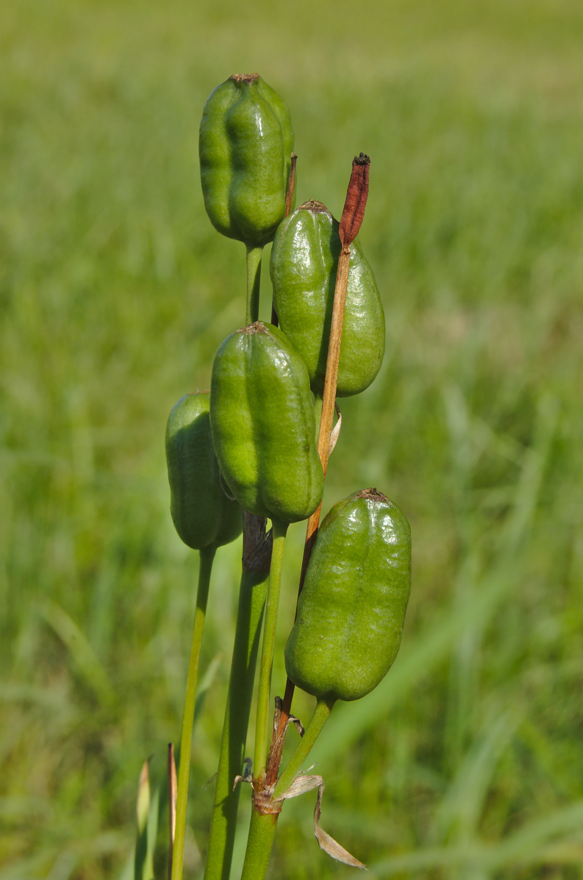
A close-up vertical photograph of several green seed capsules from a Gladiolus imbricatus plant against a blurred green meadow background.
Seed capsules of the Gladiolus imbricatus, a notable plant species protected at the V chaloupkách natural monument.

V chaloupkách history and protected-area timeline

V chaloupkách was officially declared a protected natural monument on 1 August 1990. The declaration was issued by the Regional Authority of the Olomouc Region, which remains the responsible administrative body for the site.

The establishment of the reserve reflected growing awareness across the Czech Republic, particularly in the late 1980s and early 1990s, that seminatural meadow communities with specialized floras were disappearing under the pressures of modern agriculture and land-use change. By giving formal protection to this small but botanically rich spring meadow, the regional authority aimed to secure the long-term survival of meadow gladiolus and the broader herbaceous assemblage associated with it.

The site's conservation history is closely tied to the broader story of the protected areas of the Prostějov district, as documented in regional inventories of protected sites. Although the monument is small, its designation marks a deliberate decision to maintain a traditional, ecologically valuable habitat within a working agricultural landscape.

V chaloupkách landscape and geographic character

The landscape of V chaloupkách belongs to the Drahanská vrchovina, a highland region that forms the elevated eastern part of central Moravia. The area is characterized by rolling hills, dissected uplands, and a network of small valleys shaped by centuries of fluvial erosion. The protected site itself lies at an elevation of roughly 620 to 630 meters above sea level, placing it within the higher parts of the highland rather than the surrounding lowlands.

The defining topographic feature of the site is a gentle slope and shallow depression where groundwater emerges to form springs. This spring zone gives rise to a wet meadow that contrasts with the otherwise drier upland surroundings. The broader highland landscape is dominated by agricultural land, but interspersed with forest patches, small watercourses, and scattered villages including Horní Štěpánov, which lies nearby.

The visual character of the area is that of a traditional Czech-Moravian highland, with mixed agricultural use, woodland margins, and small-scale settlements framed by a complex local relief. Within that broader setting, the protected meadow at V chaloupkách represents one of the most ecologically distinct landscape elements.
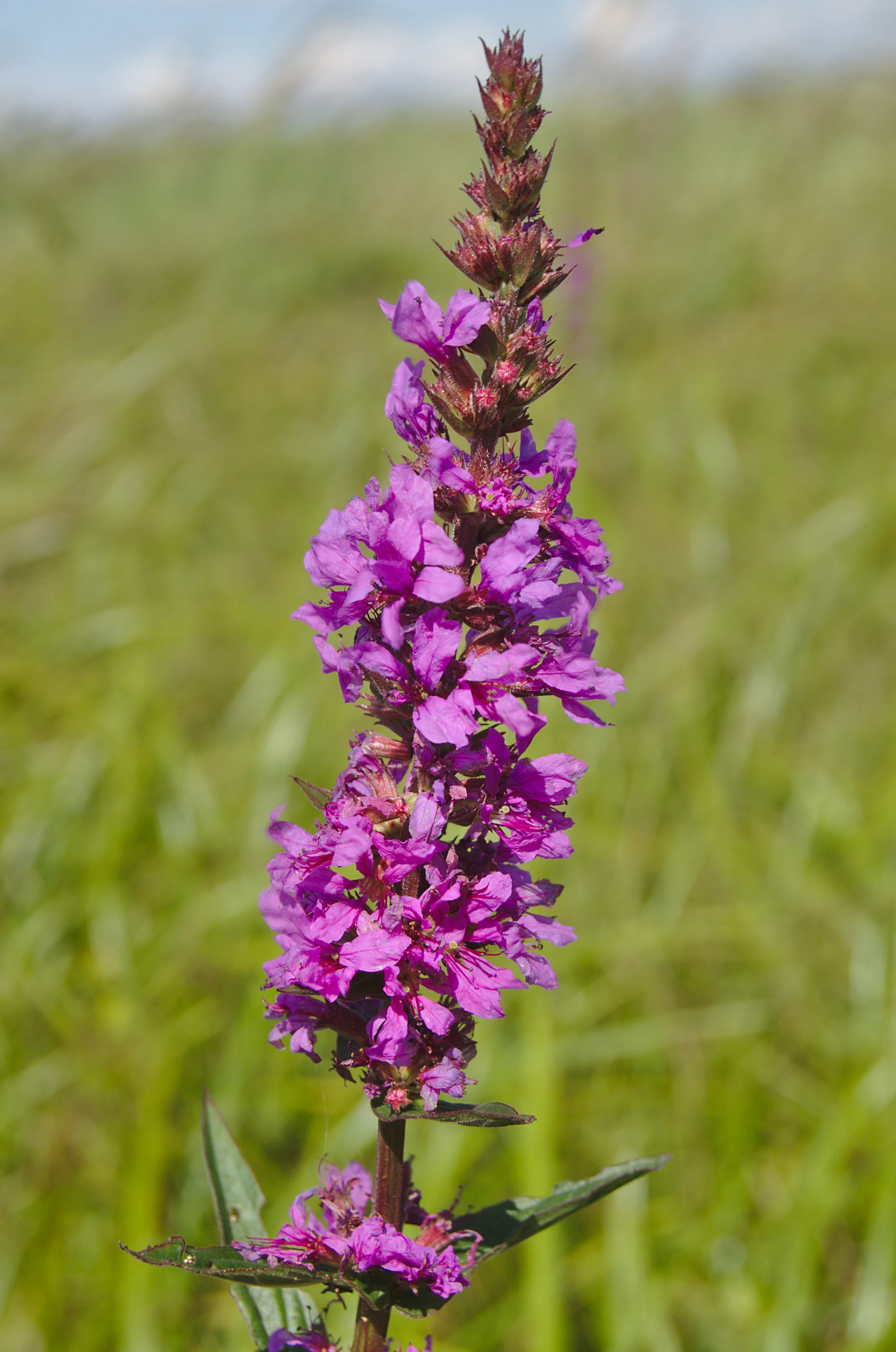
A purple wildflower with a tall, spike-like cluster of blooms set against a soft-focus green grassy meadow.
A close-up view of a flowering plant in the meadow at V chaloupkách.

V chaloupkách ecosystems, habitats, and plant life

The nature of V chaloupkách centers on a single, ecologically well-defined habitat: a spring-fed seminatural meadow. This habitat is formed at the contact between groundwater discharge and the surface, producing a permanently moist but not waterlogged environment that supports a highly specialized herbaceous community.

The flora of the meadow is notably rich for such a small site. The meadow gladiolus, the species explicitly cited as the subject of protection, establishes the botanical identity of the reserve. Around it grow a range of other species characteristic of wet, traditionally managed meadows, including siberian iris, round-headed rampion, prussian laserwort, low viper's-grass, shade sedge, and the early gentian relative Gentianella praecox. The presence of woodland lousewort further indicates the transitional character of the meadow margins, where moist grassland grades into woodland edge.

Ecologically, the meadow constitutes a refugium for species that depend on long continuity of low-intensity management. Its persistence in a modern agricultural region gives it a disproportionate conservation value. The associated soil development, with pseudogleys and permanently gleyed soils in waterlogged zones, reflects the hydrology that maintains both the habitat and its specialized flora.
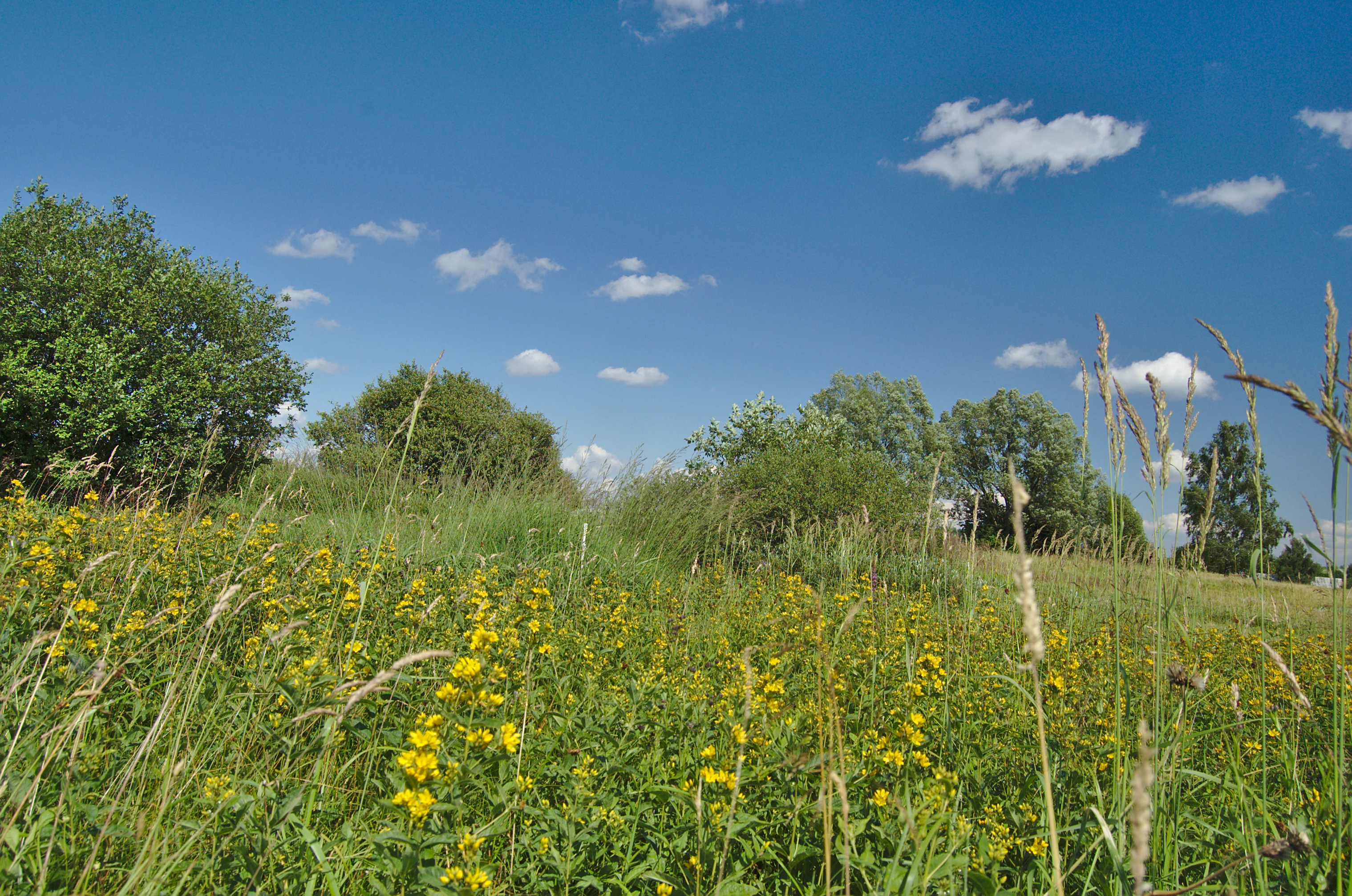
A low angle view of a lush green meadow filled with yellow wildflowers under a bright blue sky with scattered white clouds, with trees in the midground.
A summer meadow in the V chaloupkách natural monument, Horní Štěpánov, Czech Republic.

V chaloupkách wildlife and species highlights

The wildlife profile of V chaloupkách is modest but meaningful. The site's most notable faunal feature is its function as habitat for the whinchat, a small insectivorous bird that depends on open, herb-rich meadows with tall vegetation for nesting and perching, and adjacent open ground for foraging.

The presence of whinchat at V chaloupkách is directly tied to the same habitat conditions that favor the meadow flora: a moist, herb-rich grassland maintained without intensive agricultural disturbance. In this sense the bird serves as an indicator of the meadow's overall ecological integrity.

Although the source material does not list other animal species explicitly, the combination of spring-fed grassland, moist soils, and nearby woodland edge suggests that the site likely supports a broader invertebrate community typical of similar central European meadow habitats, including meadow butterflies and other pollinators associated with the rich herbaceous flora.
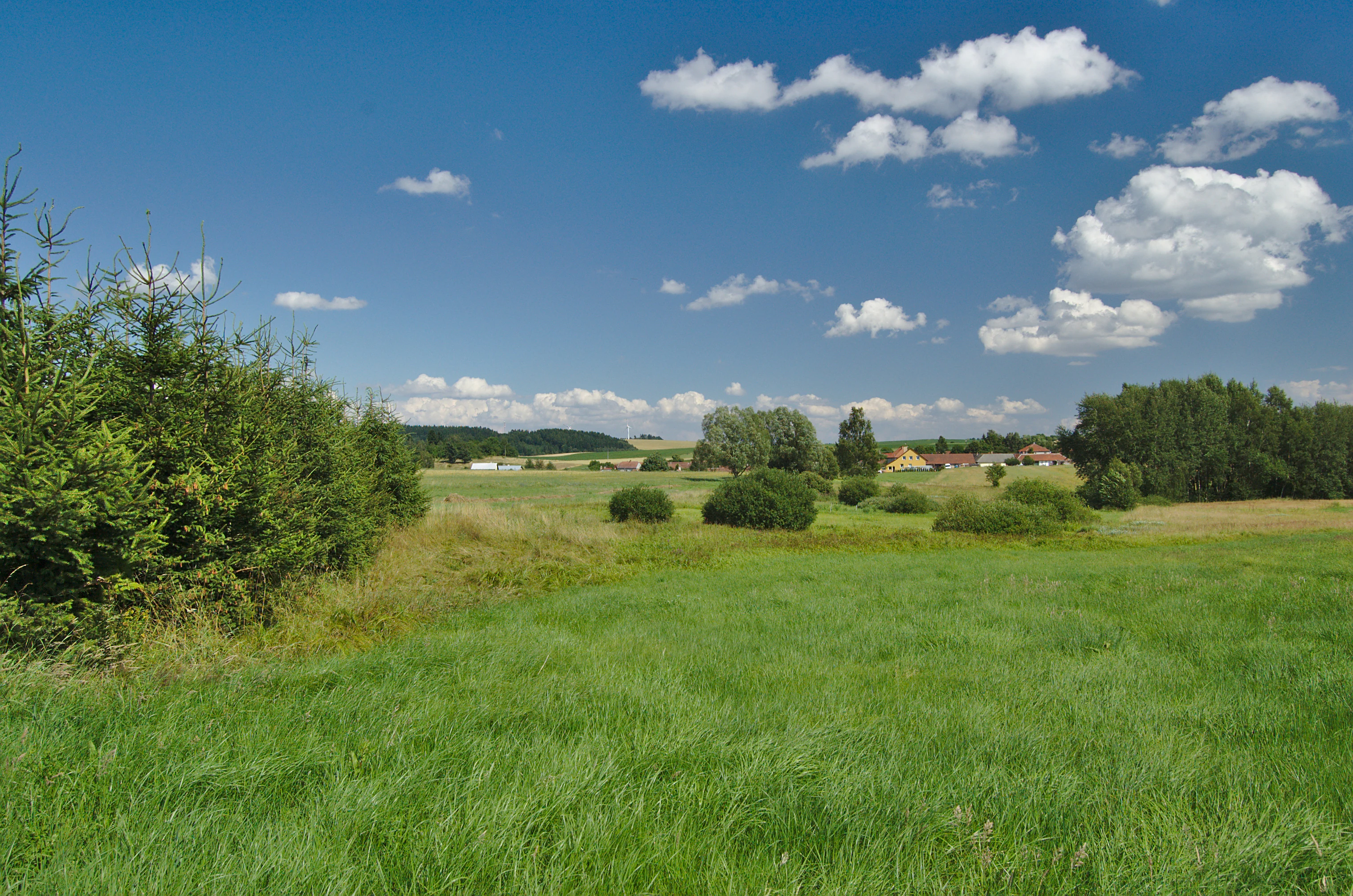
A wide outdoor view of a grassy meadow under a blue sky with scattered clouds, bordered by a dense evergreen thicket on the left and distant trees and buildings on the right.
The meadow landscape of V chaloupkách natural monument in Horní Štěpánov.

V chaloupkách conservation status and protection priorities

V chaloupkách carries its principal conservation importance from a single core asset: a spring-fed herb-rich meadow inhabited by meadow gladiolus. The protected status of the site is specifically tied to this species and its habitat, and the official classification as a přírodní památka reflects the recognition that this small parcel of seminatural grassland supports ecological values not adequately safeguarded in the surrounding agricultural matrix.

At the international level, the site is classified as IUCN Category IV, a category reserved for areas primarily managed to protect particular species or habitats. The designation thus aligns the site's national Czech protection with an internationally recognized framework for habitat and species conservation.

The broader conservation context is the widespread decline of seminatural wet meadows across the Czech Republic and central Europe. As traditional mowing and grazing practices have been abandoned and many such meadows have been drained, fertilized, or converted, surviving examples like V chaloupkách have become increasingly important as reference sites and refugia. Protecting a small area where the full herbaceous community can persist also helps maintain the genetic and reproductive reservoirs of species like meadow gladiolus, siberian iris, and the rest of the meadow flora for the wider regional landscape.

Top sights and standout views in V chaloupkách

V chaloupkách's strongest point of distinction is the combination of a clearly defined hydrological setting, a specialized flora centered on meadow gladiolus, and a protected status specifically tailored to maintaining a seminatural meadow in a working agricultural region.

The site is a compact but instructive example of how small Czech natural monuments can protect disproportionately important ecological communities, offering both a refuge for meadow-dependent species and a baseline for understanding the traditional meadow landscapes of the Drahanská vrchovina.
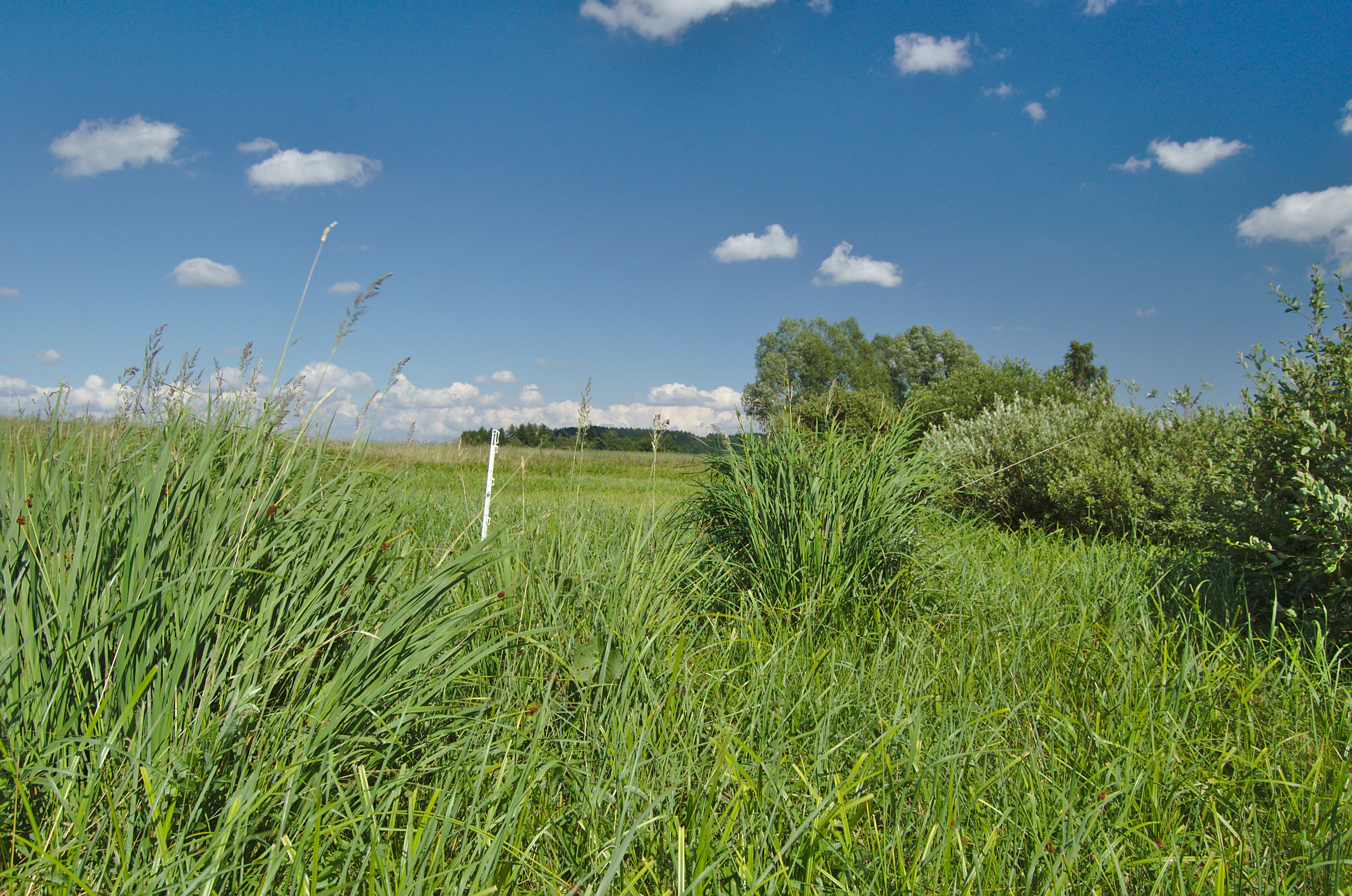
A green meadow with tall grasses and shrubs under a blue sky with scattered white clouds, captured at the V chaloupkách natural monument in the Czech Republic.
A view of the meadow landscape at the V chaloupkách natural monument.

Best time to visit V chaloupkách

V chaloupkách is a botanical reserve rather than a scenic visitor park, so the most meaningful windows for any visit are those in which the meadow's herbaceous species are most active.

Late spring through midsummer is likely the most rewarding period, when the siberian iris and woodland lousewort are in flower and the meadow's general botanical richness is most visible. The flowering period of meadow gladiolus, which typically peaks in summer, is the most direct way to experience the species for which the site was protected. Cool, overcast days can be more comfortable for slow botanical observation, and the broader Moravian highland is generally most accessible when paths and approach tracks are dry.


Monthly climate preview

Track representative temperature ranges and precipitation rhythm across twelve recorded months.

V chaloupkách Climate Normals and Long-Term Monthly Weather Patterns

Representative coordinate records show measured monthly temperature variations alongside steady precipitation averages spanning 1991 through 2020. Examining the complete twelve-month climatology dataset reveals deeper long-term trends for V chaloupkách.
Annual mean8 °C
-4 °C19 °C
Jan-4°
Feb-2°
Mar
Apr
May13°
Jun17°
Jul19°
Aug19°
Sep14°
Oct
Nov
Dec-2°
Warmest month
July

19.3 °C

Coolest month
January

-3.7 °C

Wettest month
July

2.7 mm/day

Driest month
February

1.2 mm/day

Park location guide

Geography guide, regional context, and park location map for V chaloupkách

V chaloupkách park geography, regions, and map view in Czechia

Understand where V chaloupkách sits in Czechia through a broader geographic reading of the surrounding landscape, nearby location context, and its mapped position within the national park landscape.

How V chaloupkách fits into Czechia

Czech Republic is a landlocked Central European country with a population of approximately 10.9 million people. The nation was established as an independent state on January 1, 1993, following the dissolution of Czechoslovakia. Its capital and largest city is Prague, with other major urban centers including Brno, Ostrava, Plzeň, and Liberec.

Wider geography shaping V chaloupkách in Czechia

The Czech Republic is a landlocked country in Central Europe. It is bordered by Germany to the west, Austria to the south, Poland to the northeast, and Slovakia to the southeast. The landscape is predominantly hilly, with the territory covering 78,871 square kilometers.

Map view of V chaloupkách

Use this park location map to pinpoint V chaloupkách in Czechia, understand its exact geographic position, and read its mapped placement within the surrounding landscape more clearly.

Pigeon | © OpenStreetMap contributors

Location context for V chaloupkách

Olomouc Region

Explore detailed photographic records of grassland habitats and highland terrain in central Moravia

Visualizing V chaloupkách: Protected Area Scenery and Spring Meadow Landscapes

Photographic collections reveal the distinctive spring meadows, specialized botanical flora, and highland topography defining V chaloupkách. Visual documentation provides clear insight into the protected habitats and regional environmental character of central Moravia.

A close-up vertical photograph of several green seed capsules from a Gladiolus imbricatus plant against a blurred green meadow background.

A wide view of a grassy meadow with patches of shrubs and trees under a clear blue sky with white clouds. Purple wildflowers bloom in the foreground.

A purple wildflower with a tall, spike-like cluster of blooms set against a soft-focus green grassy meadow.

A low angle view of a lush green meadow filled with yellow wildflowers under a bright blue sky with scattered white clouds, with trees in the midground.

A wide outdoor view of a grassy meadow under a blue sky with scattered clouds, bordered by a dense evergreen thicket on the left and distant trees and buildings on the right.

A wide view of a grassy meadow with a harvested windrow of hay in the foreground, interspersed with clusters of trees under a blue sky with scattered clouds.

A green meadow with tall grasses and shrubs under a blue sky with scattered white clouds, captured at the V chaloupkách natural monument in the Czech Republic.

A wide outdoor view of a green meadow under a blue sky with scattered clouds, with tall grasses and shrubs in the foreground and a distant line of trees.

Park atlas

Compare surrounding regional reserves and connected highland landscapes

Explore Protected Areas and Parks Near V chaloupkách in Central Moravia

Visitors exploring V chaloupkách can browse adjacent protected areas and reserves across the Drahanská vrchovina highland. This regional comparison reveals how small natural monuments connect with broader botanical and ecological networks throughout the district.
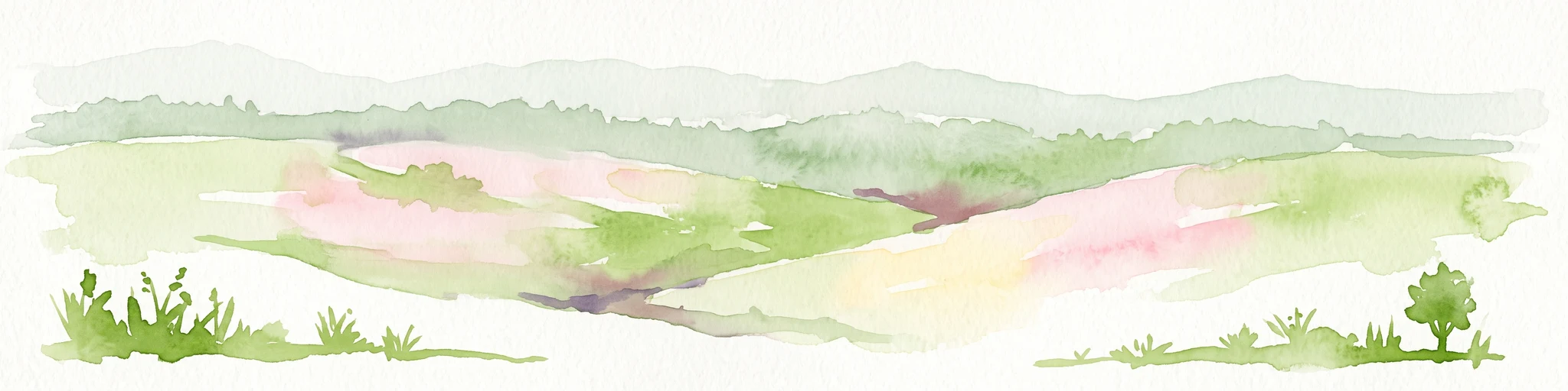
A watercolor illustration of a soft, rolling landscape featuring meadows, distant hills, and coniferous forest edges in pale greens and yellow tones.
Protected landscapeBlansko District
About 3.1 km away#1 closest

Southwest

Řehořkovo Kořenecko Protected Landscape: An Upland Mosaic in the Czech Republic

Geographic analysis of plateau ridges and wetland river corridors

Centered in the Blansko District, the Řehořkovo Kořenecko protected landscape offers a unique study of Czech upland geography. The area highlights the interplay between the Bělá river valley, peatland remnants of the Pavlovské mokřady, and the high-point vistas from the Paprč summit, illustrating a cohesive protected region defined by its geological substrate and forest composition.

Area
23.14 km²
Established
2000
Relief
Upland
Scope
Terrestrial
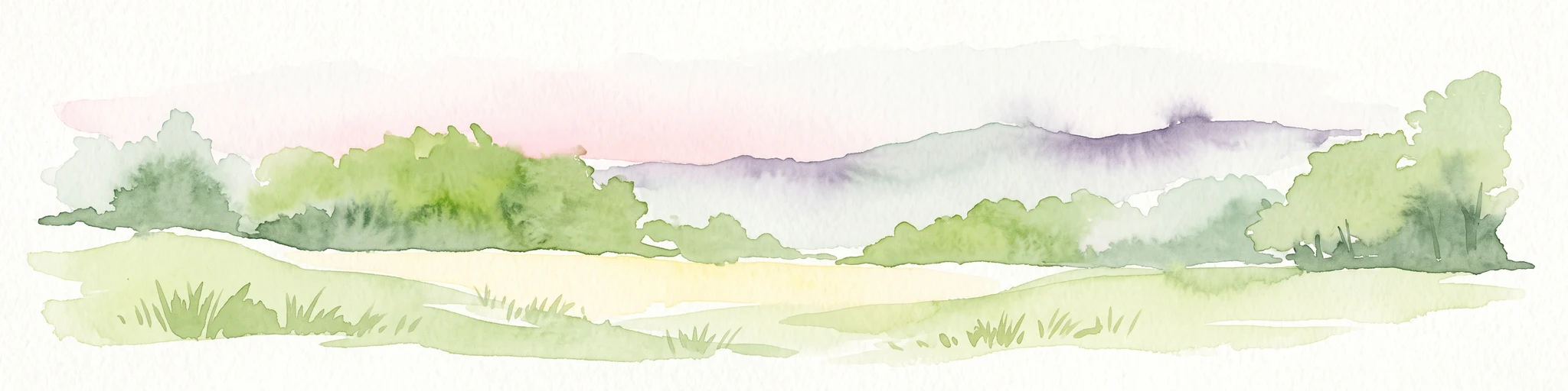
A watercolor painting showing a stylized, rolling hilly landscape with green and light pink tones, featuring minimal foreground vegetation and soft, layered hills in the background.
Natural monumentOlomouc Region
About 9.2 km away#2 closest

Northeast

Na Kozénku Natural Monument: Protected Limestone Landscapes in the Olomouc Region

A localized refuge of dry grassland and thermophilic vegetation

Na Kozénku is a protected natural monument in the Czech Republic, notable for its limestone-rich soil and specialized plant communities. This site offers insight into the conservation of isolated habitats within the agricultural mosaic of the Zábřežská Highlands, providing essential shelter for sensitive anemone populations.

Area
0.01 km²
Established
1985
IUCN
IV
Relief
Upland
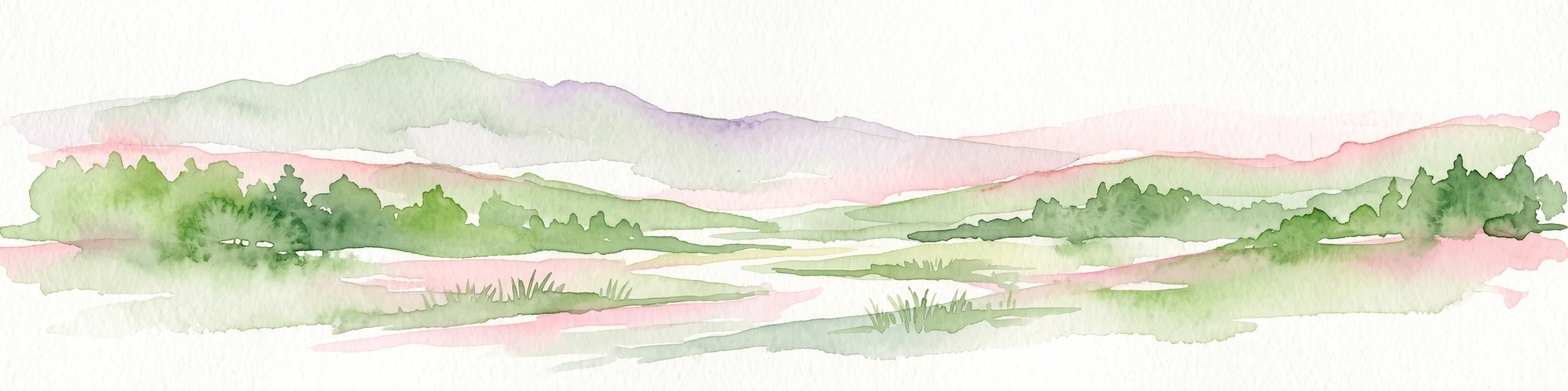
A soft watercolor illustration of a rural landscape with green fields and distant purple-hued hills.
Nature reserveOlomouc Region
About 13 km away#3 closest

Northeast

Průchodnice Nature Reserve: Mapped Limestone Ridges and Highland Forest Geography

Protected karst landscape in the Olomouc Region of the Czech Republic

Průchodnice Nature Reserve is defined by its dramatic 120-meter limestone ridge rising from forested slopes. This protected area supports a rich mix of rock-loving flora, mature beech forest, and essential cave habitats for rare bat populations. It serves as a study in concentrated highland karst geography within the southern Zábřežská vrchovina.

Area
0.206 km²
Established
1985
IUCN
IV
Relief
Mountain
Watercolor painting of a soft, rolling landscape with green hills, a grassy foreground, and distant purple-hued ridgelines.
Natural monumentOlomouc Region
About 16 km away#4 closest

East

Na hůrkách Natural Monument: Protected Grassland and Biodiversity Reserve in Olomouc Region

Central Moravian grassland habitat and protected terrain map

Na hůrkách preserves unique dry-grassland vegetation on former pastures in the Olomouc Region. This natural monument serves as an essential refuge for protected flowering plants and grassland-dependent butterfly species, illustrating the conservation value of traditional agricultural landscapes in the Czech Republic.

Area
0.041 km²
Established
1990
IUCN
IV
Relief
Upland
A watercolor painting showing a wide view of soft, green rolling hills against a pale, warm-toned sky.
Protected landscapeBlansko District
About 20 km away#5 closest

West

Halasovo Kunštátsko Nature Park: Protected Highland Landscapes and Regional Geography

A detailed geographic study of the Blansko District highland interior.

Covering the eastern flank of the Czech-Moravian Highlands, Halasovo Kunštátsko Nature Park provides a diverse inland environment of ridges, valleys, and forest mosaics. From the high summit of Kulíšek to the transitional zones of the Boskovická brázda, this protected landscape integrates geological, botanical, and regional environmental values into a single, cohesive geographic area.

Area
68.3 km²
Established
1980
Relief
Upland
Climate
Temperate
Watercolor painting of a soft landscape with rolling hills, meadows, and a small body of water under a light sky.
Protected landscapePardubice Region
About 23 km away#6 closest

North

Přírodní park Bohdalov-Hartinkov: Protected Landscape and Geographic Atlas

Mapping the natural features and terrain of the Svitavy District

Located in the southwestern Zábřezh Highlands, this protected area features a complex mosaic of forests and meadows. Discover the geological diversity, from ancient shales to calcareous soils, that supports the unique flora and fauna of this significant Bohemian-Moravian borderland landscape.

Area
62.65 km²
Established
1996
Relief
Mountain
Climate
Temperate
A pale, minimalist watercolor painting showing a soft horizon line with hints of green, yellow, and pink foliage against a white background.
Natural monumentJihomoravský kraj
About 24 km away#7 closest

South

Rudice, Seč Natural Monument: A Comprehensive Geological and Landscape Atlas Overview

Protected mineral landscapes and pioneer ecosystems in the Moravian Karst

Rudice, Seč provides a concentrated view into the geological history of the Drahanská vrchovina. The site is a former quarry that now protects unique sedimentary layers, abundant geodes, and secondary pond habitats. This protected monument offers a clear case study of how karstic depressions are filled by Cretaceous materials and how human-modified terrain can recover to host specialized biodiversity.

Area
0.07 km²
Established
2022
IUCN
III
Relief
Upland
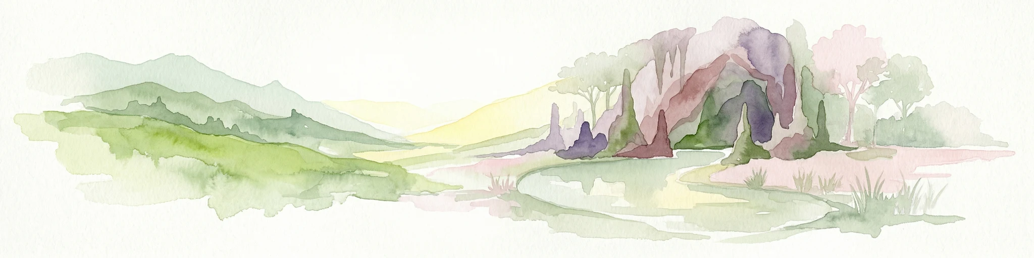
Watercolor illustration of a karst landscape featuring hills, a lake, and cave-like rock formations with green vegetation
Protected landscapeSouth Moravian Region
About 30 km away#8 closest

South

Moravian Karst Protected Landscape: Detailed Geographic and Cave System Atlas

Mapped protected boundaries and karst phenomena in the South Moravian Region.

Moravian Karst, designated a Protected Landscape Area, offers a profound look into complex karst geology within the South Moravian Region. This entry within MoriAtlas facilitates a structured discovery of its approximately 92 square kilometers, featuring an intricate network of over 1,100 caves and gorges. Users can explore the mapped extent of this geological treasure, understand its relationship with the surrounding regional geography, and appreciate the unique formations sculpted by underground water systems, including the iconic Macocha Abyss.

Area
92 km²
IUCN
V
Scope
Terrestrial
Water
Minor water

Common questions about visiting, size, designation, and location context for V chaloupkách

V chaloupkách FAQs for park facts, access, geography, and protected area context

Find quick answers about V chaloupkách, including protected-area facts, park geography, trail and visitor context, and how the park fits into its surrounding country and regional landscape.
MoriAtlas Explorer

Continue Your Protected Areas Search Across the Global Atlas

Deepen your exploration by continuing the structured search for national parks and protected areas worldwide. Utilize the comprehensive filtering capabilities to compare different conservation landscapes and refine your understanding of global park geography. Discover more about the distribution and characteristics of protected natural areas.

Global natural geography