Mori Atlas logo
Park earthquake history

Review the documented catalogue of seismic events recorded in proximity to the park landscape.

Recorded Earthquake History and Seismic Activity Near Warby-Ovens National Park

This collection presents a structured catalogue of historical earthquake events associated with the geographic coordinates of Warby-Ovens National Park. The entries organize recorded seismic activity by event date, magnitude, and calculated distance from the park boundary to provide a clear view of regional tremors. All data reflects historical seismic logs rather than current risk factors, hazard predictions, or causative links to the park terrain.

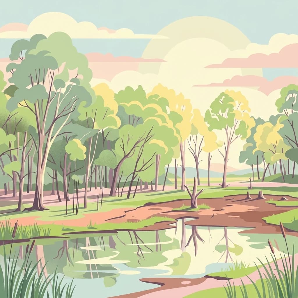
A stylized digital illustration of a peaceful woodland scene with eucalyptus-style trees, a shallow muddy pond in the foreground, and soft sunlight under a pastel-colored sky.

Box-Ironbark forest wilderness on the lands of the Yorta Yorta people

Warby-Ovens National Park

Warby-Ovens National Park is a 14,655-hectare protected area in northeastern Victoria, Australia, situated approximately 10 kilometres west of Wangaratta and 240 kilometres northeast of Melbourne. The park occupies the traditional lands of the Bangerang clan of the Yorta Yorta Nation and derives its name from the Warby Ranges, named in honour of pastoralist Ben Warby who settled in the area in 1844, and the Ovens River that flows through the region. The park sits within the Northern Inland Slopes bioregion, encompassing the granite, metamorphic and sedimentary lower foothills north of the Great Dividing Range. Originally reserved as a state park in 1978, the area was elevated to national park status in June 2010, becoming one of Victoria's newer protected areas. The park forms part of the larger Warby-Chiltern Box-Ironbark Important Bird Area, recognized internationally for its significance in conserving threatened woodland bird species and the distinctive Box-Ironbark forest ecosystem.

Location
Australia
Park type
National park
Established
2010
Area
146.6 km²
Warby-Ovens National Park Atlas

Search Warby-Ovens National Park records by distance

Examine recorded earthquake data around Warby-Ovens National Park

Compare reported earthquake geography with Warby-Ovens National Park’s 146.55 km² upland setting in Australia; the explorer supports searches across source date and locality while displaying magnitude, depth, calculated park distance and attribution. Results describe spatial nearness only; they do not confirm boundary occurrence, explain seismicity through park terrain or predict danger.

Sort by
Magnitude
Location

This page describes catalogued earthquakes associated with the park by epicentre location and distance. It does not establish causation, assess current danger, or predict future earthquakes.

No earthquake records match the current filters

Park atlas

Move from Box-Ironbark ranges and wetlands to other protected country

Continue park discovery after Warby-Ovens National Park’s Box-Ironbark forest

Warby-Ovens National Park closes its earthquake catalogue in a northeastern Victorian landscape of granite hills, Box-Ironbark forest, wetlands, and Yorta Yorta Country. Further destinations stand alone and imply no shared cultural setting, national-park status, habitat, geology, seismic history, proximity, hazard, or source detail.
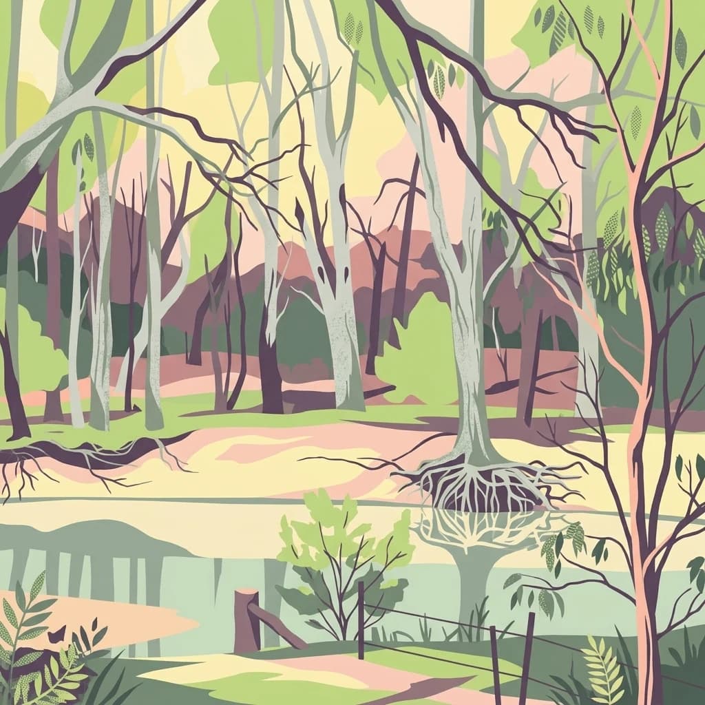
A stylized flat illustration of a riverbank scene with pale green water, exposed tree roots, and a forest of tall, thin, light-colored trees.
National parkNew South Wales
13 km away#1 closest

Northwest

Murray Valley National Park: Explore its Mapped Boundaries and Regional Geography in New South Wales

Protected landscape identity and geographic context.

Gain a structured understanding of Murray Valley National Park, a designated national park within New South Wales. This detail page provides essential geographic context, highlighting the park's mapped boundaries and its significance as a protected natural landscape. Utilize this entry point for comprehensive atlas-based exploration of its unique regional setting and terrain.

Area
416.01 km²
Established
2010
IUCN
II
Relief
Lowland
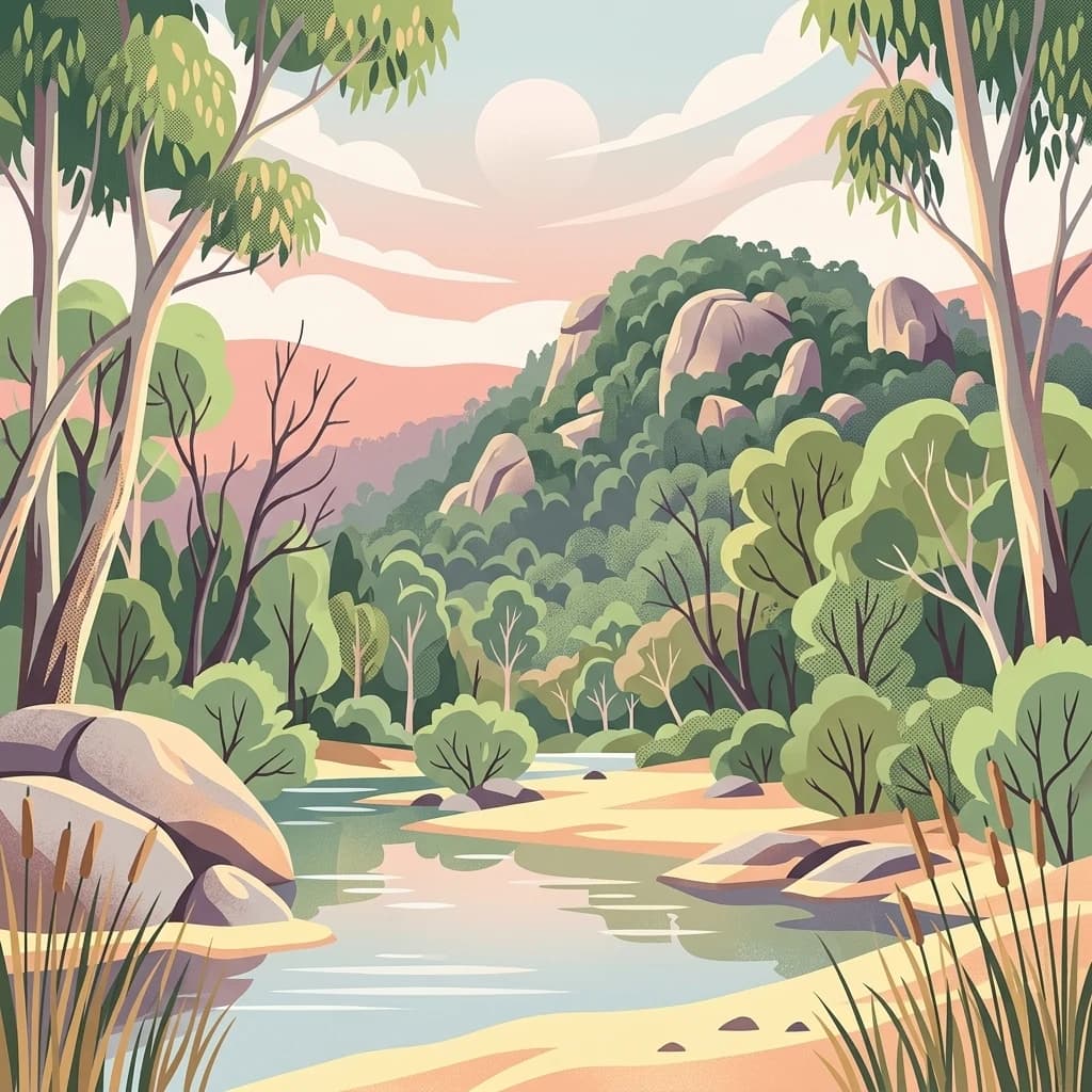
A stylized illustration of a calm river winding through a forest with large rock outcrops, tall trees, and reeds in the foreground under a soft pastel sunset sky.
National parkAustralia
21 km away#2 closest

East

Chiltern-Mt Pilot National Park: Box-Ironbark Forest & Mapped Landscape

Explore its protected areas and regional geographic context.

Chiltern-Mt Pilot National Park preserves a significant portion of Victoria's box-ironbark forest, an ecosystem vital for threatened species and rich biodiversity. This park showcases varied terrain, from sedimentary hills to granite landscapes, offering a compelling subject for geographic study. Understand its mapped extent and its role within the broader regional geography, providing deep insights for atlas-based exploration.

Area
215.6 km²
Established
2002
IUCN
II
Relief
Mixed relief
A stylized illustration of a lush green mountain hillside featuring a cascading waterfall over large rock formations.
National parkAustralia
45 km away#3 closest

Southeast

Mount Buffalo National Park: Historic Granite Plateau in Victoria's Alpine Region

Mapped Protected Landscape and Geographic Context

Mount Buffalo National Park represents a significant protected area within Victoria, Australia, celebrated for its distinctive granite plateau. This national park, one of Australia's oldest, features dramatic rock formations, tors, and the iconic summit of The Horn, offering panoramic vistas across the alpine landscape. Its elevation of approximately 1,723 meters supports a variety of ecosystems, from forested slopes to alpine grasslands. The park's unique geology and its role as a protected landscape make it a key destination for understanding regional Australian geography and conservation history.

Area
310 km²
Established
1898
IUCN
II
Visitors
200K annual
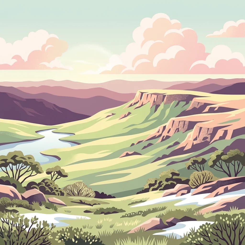
A digital illustration of a mountainous landscape at dawn or dusk, featuring layered hills and cliffs in soft pastel tones, a winding blue stream through a grassy valley, and patches of white snow in the foreground.
National parkAustralia
45 km away#4 closest

Southeast

Alpine National Park

Mapping significant alpine, subalpine, and mountain wilderness landscapes.

Alpine National Park, in Australia. Landscapes: mountains, forests, and woodlands.

Area
6,474 km²
Established
1989
IUCN
II
Relief
Mountain
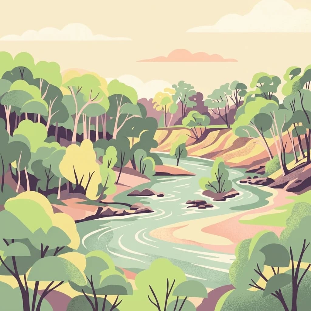
A stylized digital illustration of a winding river surrounded by dense green and yellow gum trees under a soft pale sky.
National parkAustralia
65 km away#5 closest

West

Lower Goulburn National Park: Australia's River Red Gum Woodland Protected Landscape

Explore mapped boundaries and riparian geography.

Lower Goulburn National Park in Victoria, Australia, safeguards a critical segment of the Goulburn River, celebrated for its magnificent river red gum woodlands. This protected area offers a linear exploration of a rare riparian ecosystem, providing essential habitat and scenic beauty. Understand its geographic layout, mapped extent, and the distinctive landscape formed by these iconic Australian trees, offering a vital natural contrast to the surrounding agricultural areas.

Area
93.1 km²
Established
2010
IUCN
II
Relief
Lowland
Nature reserveNew South Wales
About 70 km away#6 closest

Northeast

Wiesners Swamp Nature Reserve: Mapping the Floodplain Landscapes of New South Wales

A preserved ephemeral wetland and woodland habitat

Wiesners Swamp Nature Reserve represents a critical protected wetland basin in the South Western Slopes of New South Wales. The reserve provides a mapped view of seasonal floodplain dynamics, including river red gum woodland and woodland patches on higher ground that support local waterbirds and native mammals.

Area
1.03 km²
Established
1996
IUCN
Ia
Relief
Lowland
Watercolor illustration of a river landscape with green hills, trees, and pink reeds
National parkAustralia
71 km away#7 closest

Northwest

Barmah National Park National Park: World's Largest River Red Gum Forest Landscape

Explore Mapped Boundaries and Wetland Geography

Barmah National Park in Victoria, Australia, is renowned for protecting the largest river red gum floodplain forest on Earth, a globally significant Ramsar-listed wetland. This protected area's landscape is defined by majestic eucalypts bordering freshwater marshes along the Murray River. Dive into its distinct geography, mapped terrain, and the protected status of this remarkable ecosystem, offering unparalleled opportunities for understanding regional natural landscapes and conservation.

Area
285.21 km²
Established
2010
IUCN
II
Relief
Lowland
Watercolor illustration showing a lake surrounded by green hills and vegetation
National parkAustralia
79 km away#8 closest

South

Lake Eildon National Park: Protected Landscape with Ancient Volcanic and Gold Mining Heritage

Explore mapped terrain and diverse eucalypt forests.

Lake Eildon National Park in Victoria's Central Highlands offers a unique protected landscape shaped by ancient volcanic activity and the region's gold rush era. This national park, centered around the large Lake Eildon reservoir, provides critical habitat within its diverse eucalypt forests. Discover its geological significance, historical mining sites, and mapped boundaries, offering a comprehensive view of its protected-area identity and regional geographic context.

Area
277.5 km²
Established
1997
IUCN
II
Relief
Mountain
MoriAtlas Explorer

Continue Exploring Warby-Ovens National Park's Geographic Context and Protected Landscape

Delve deeper into the mapped geography and protected-area details of Warby-Ovens National Park. Understand its role within the regional landscape, explore its unique terrain features, and discover the structured geographic information available for this significant Australian national park. Gain comprehensive atlas insights into its protected boundaries and ecological significance.

Global natural geography