Mori Atlas logo
Nature reserveWaschteich Reuth

Examining the ecological gradients and pond-based landscape of the Vogtland border territory

Waschteich Reuth Nature Reserve: A Protected Wetland and Habitat Mosaic in Saxony Germany

Waschteich Reuth represents a significant protected area within the Vogtland region, serving as a critical habitat mosaic that encompasses open water, silting-up zones, wet meadows, and mixed hardwood forest. The site functions as a vital ecological corridor, preserving a diverse sequence of aquatic and terrestrial environments along the border of Saxony. Map exploration reveals how this compact nature reserve anchors the regional wetland heritage, showcasing a rare transition from floating-leaf vegetation to oak-hornbeam woodland.

pondwetlandnature reserveFFH areaVogtlandSaxony

Waschteich Reuth

Nature reserve

Park overview

Structured park overview, official facts, and landscape profile for Waschteich Reuth

Waschteich Reuth park facts, protected area profile, and essential visitor context

Review the core facts for Waschteich Reuth, including designation, size, terrain, visitor scale, habitats, and operating context in one park-focused overview.

About Waschteich Reuth

Waschteich Reuth sits in the Vogtland region of southwestern Saxony, close to the border with Thuringia. Although it is a small site, it represents a classic example of the type of pond landscape that historically characterized this part of Germany. The protected area combines a central pond, a broad natural overgrowth zone along the water's edge, damp meadows, and oak-hornbeam woodland, producing a sequence of habitats within a very limited space.

The pond itself is the heart of the reserve. Around its margins, vegetation has gradually encroached into the shallow water, forming an extensive silting-up belt that supports floating-leaf plant communities. Beyond this belt, the ground becomes progressively drier, transitioning into wet meadows and ultimately into forest dominated by oak and hornbeam with elements of Galium in the ground flora. This gradient from open water to woodland is a defining feature of the site.

To the west, the reserve reaches the state boundary between Saxony and Thuringia, while to the east it borders the Kreisstraße K 7803, and to the southeast the K 7817. The Aubach, a small right-bank tributary of the Weiße Elster, runs through the area, linking the pond and its wetland surroundings to the broader river system of the Vogtland. A second, smaller waterbody, the Obere Schafteich, also forms part of the protected zone, adding additional standing-water habitat.

The ecological importance of Waschteich Reuth is reflected in its dual designation: it has been a Saxon nature reserve since 1995 and, since 2011, has also been recognized as an FFH area under the European Habitats Directive. Together, these designations emphasize the site's value for preserving pond and wetland habitats that are characteristic of the region but increasingly rare in the modern landscape.

Quick facts and research context for Waschteich Reuth

Waschteich Reuth is a nature reserve (NSG No. C 03) and a European Habitats Directive (FFH) site in the Vogtlandkreis of Saxony. It protects the Waschteich pond together with adjacent wet meadows, oak-hornbeam forest, and a smaller associated pond called the Obere Schafteich. The nature reserve was designated in 1995 and covers roughly 21.2 hectares, while the FFH area, fixed in 2011, encompasses about 16 hectares including the pond and surrounding woodland and open land.

The site lies west of the village of Reuth in the municipality of Neumark and reaches to the border with Thuringia, touching the territory of Gottesgrün. The Aubach, a right-bank tributary of the Weiße Elster, flows through the protected area.

Protection and recognition

Examine official Natura 2000 listings and documented conservation status.

Waschteich Reuth Protection Status and International Recognition Data

Waschteich Reuth holds documented recognition under Natura 2000 frameworks for ecological value. Review official protection metrics and administrative records associated with this protected natural area.
Park context

Deeper park guide and search-rich context for Waschteich Reuth

Waschteich Reuth history, landscape, wildlife, and travel context

Explore Waschteich Reuth through its history, landscape character, ecosystems, wildlife, conservation priorities, cultural context, and seasonal travel timing in a structured park guide built for atlas discovery and search intent.

Why Waschteich Reuth stands out

Waschteich Reuth is best known for its combination of a traditional Vogtland pond with a richly developed silting-up belt, floating-leaf aquatic vegetation, and adjacent wet meadow and oak-hornbeam forest habitats. This layered mosaic of aquatic, marsh, grassland, and woodland environments gives the small site a disproportionately rich ecological character for its size. Its designation as both a Saxon nature reserve and a European Habitats Directive site underscores its significance for conserving the regional pond and wetland landscape of the Vogtland area, where such pond-based habitat complexes have become increasingly rare.
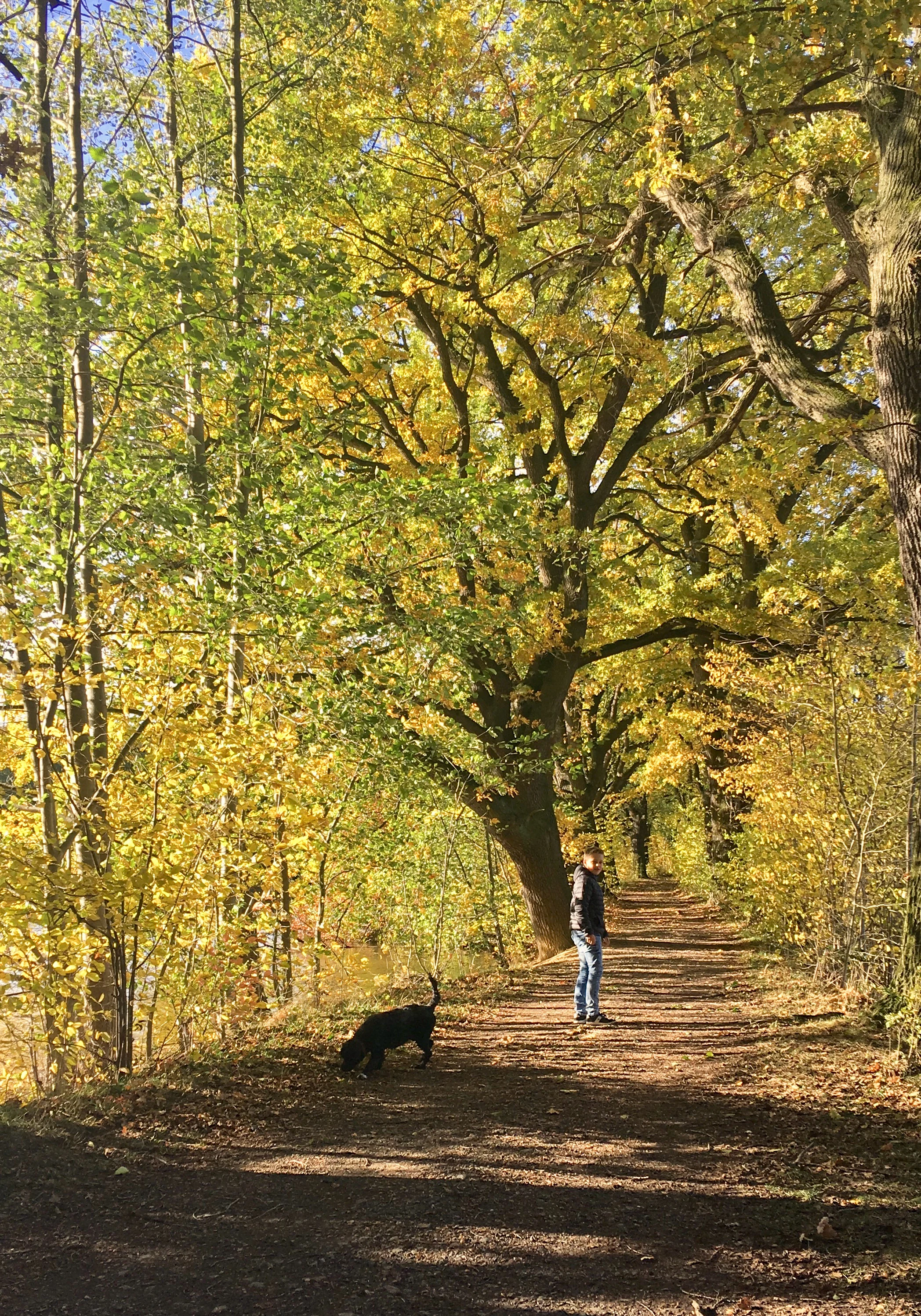
A person stands on a dirt trail under tall trees with vibrant yellow autumn foliage, with a black dog sniffing the ground nearby.
A person and their dog on a trail through the autumn forest in the Waschteich Reuth nature reserve.

Waschteich Reuth history and protected-area timeline

The Waschteich Reuth area has a long history as part of the traditional pond landscape of the Vogtland region, where small standing waters like this were once common features of the countryside. Its formal protection history, however, is more recent and follows the pattern of late twentieth-century German nature conservation practice.

The smaller associated waterbody, the Obere Schafteich, was placed under protection as a Flächennaturdenkmal, an area nature monument, in 1982, covering about 1.038 hectares. This earlier designation recognized the local significance of the pond before broader protection of the wider complex was put in place.

The main Waschteich Reuth nature reserve, designated under NSG number C 03, was established in 1995. The ordinance of the Regierungspräsidium Chemnitz of 2 January 2006, later amended on 5 April 2007, forms the legal basis for this protection. In 2011, the area was additionally designated as a Site of Community Importance (FFH-Gebiet) by the Landesdirektion Chemnitz, integrating the site into the European network of habitat-protected areas.

Waschteich Reuth landscape and geographic character

The landscape of Waschteich Reuth centers on a moderately sized pond set within a gently undulating section of the Vogtland. The waterbody is framed by a broad belt of natural overgrowth where terrestrial vegetation has progressively colonized the shallow margins, creating a classic transition zone between open water and dry land. Floating-leaf aquatic plants occupy parts of the pond surface, while reeds, sedges, and other marsh plants line the edges.

Beyond the wet margins, the terrain rises slightly into damp meadows that retain moisture for much of the year, giving way in turn to mixed woodland dominated by oak and hornbeam. This compact arrangement of open water, marsh, meadow, and forest creates a clear habitat gradient within a relatively short distance.

The protected area lies in a transitional zone between two villages, with the Saxon village of Reuth to the east and the Thuringian settlement of Gottesgrün nearby to the west. The Aubach, a small right-bank tributary of the Weiße Elster, threads through the reserve and connects the local wetland system to the larger river network of the region. Local Kreisstraßen run along the eastern and southeastern edges of the area, framing the otherwise quiet rural landscape.

Waschteich Reuth ecosystems, habitats, and plant life

Ecologically, Waschteich Reuth is defined by its layered habitats. The pond and its silting-up belt host a community of aquatic and marsh plants, including floating-leaf species that occupy parts of the open water. Surrounding the pond, wet meadows maintain a high soil moisture content, supporting plant communities adapted to damp, sometimes waterlogged, conditions.

Beyond the meadows lies a Galium oak-hornbeam forest, a woodland type typical of central European mixed hardwood stands. This forest features oak and hornbeam as the dominant trees, with a ground flora that includes bedstraw (Galium) species, lending the woodland type its name. The interplay between standing water, marsh, damp grassland, and hardwood forest within such a compact area gives the site an ecological complexity that is unusual for its scale.

The site's ecological value has been formally recognized at both regional and European levels. As a Saxon nature reserve and an FFH area under the European Habitats Directive, Waschteich Reuth is part of a network of protected sites intended to maintain and restore the natural habitat types and species of the European Union. Its inclusion reflects the importance of small, structurally diverse pond and wetland complexes for regional biodiversity.

Waschteich Reuth wildlife and species highlights

The wildlife value of Waschteich Reuth is closely linked to its pond and wetland habitats. Standing waters with extensive silting-up zones and floating-leaf vegetation, like the Waschteich, typically support a range of aquatic invertebrates, amphibians, and wetland-associated bird species. The combination of open water, marsh, wet meadow, and surrounding oak-hornbeam forest provides habitat diversity within a small area, which tends to benefit species that rely on multiple habitat types during their life cycle.

Amphibians are commonly associated with such pond complexes in the Vogtland region, using the open water for breeding and the damp meadows and forest margins for feeding and shelter. Wet meadow habitats support insect populations that in turn attract birdlife, while the oak-hornbeam woodland contributes to the presence of typical woodland bird species. Although the available source material does not provide detailed species lists, the structural richness of the site implies a correspondingly varied fauna.

Waschteich Reuth conservation status and protection priorities

Waschteich Reuth carries a layered conservation status that reflects both regional and European ecological priorities. As a Saxon nature reserve (NSG No. C 03), it benefits from protection under German federal state conservation law, with the current legal framework rooted in the 2006 ordinance of the Regierungspräsidium Chemnitz, amended in 2007. As an FFH area, it is also integrated into the European Union's Natura 2000 network under the Habitats Directive, with its designation as a Site of Community Importance dating from 2011.

The conservation significance of the site lies in the preservation of a complete and relatively undisturbed pond-wetland-forest complex in a region where such landscapes have become less common. The protected habitats, including the silting-up belt with floating-leaf vegetation, wet meadows, and Galium oak-hornbeam forest, are characteristic of central European natural heritage and are targeted for maintenance within the European ecological network. By protecting this small but ecologically rich site, the reserve contributes to the broader goal of maintaining functional and diverse landscapes across the Vogtland region.

Waschteich Reuth cultural meaning and human context

The Waschteich Reuth reserve reflects the long-standing relationship between the people of the Vogtland region and the small ponds that once dotted its countryside. Ponds such as this were often part of traditional rural land use, shaped by fish farming, water management, and small-scale agriculture. The oak-hornbeam woodlands that frame the pond are likewise a familiar feature of the regional cultural landscape.

Although the available source material does not detail specific local traditions, the inclusion of the site in the list of protected areas of the Vogtlandkreis underlines its recognized role in the regional identity and natural heritage of southwestern Saxony and the border zone with Thuringia.

Top sights and standout views in Waschteich Reuth

The standout feature of Waschteich Reuth is the way a single small pond anchors a complete ecological sequence, from open water and floating-leaf vegetation through marshy margins to wet meadows and finally to oak-hornbeam forest. This compact layering of habitats gives the reserve a richness that rewards close attention despite its modest size.

Equally notable is the site's dual conservation status: a Saxon nature reserve since 1995 and an FFH area since 2011, paired with the earlier protection of the adjacent Obere Schafteich as a Flächennaturdenkmal. Together these designations mark Waschteich Reuth as a small but well-recognized stronghold for the regional pond and wetland heritage of the Vogtland.

Best time to visit Waschteich Reuth

Visits to a wetland reserve like Waschteich Reuth are most rewarding when the surrounding wet meadows are still green and the pond margins are biologically active, generally during the warmer half of the year. Late spring and early summer are often favorable for observing flowering wetland vegetation and the breadth of the silting-up belt, while early morning visits may offer the best chances of seeing wetland-associated wildlife while disturbance is low. In autumn, the transition toward the oak-hornbeam forest gives the site a different visual character, though the focus of the reserve remains ecological rather than recreational.


Monthly climate preview

Track monthly temperature variations and precipitation averages across the representative coordinate.

Waschteich Reuth Climate Normals, Long-Term Temperature and Precipitation Rhythm

Waschteich Reuth exhibits a measured annual temperature range from negative winter minimums to warm summer maximums alongside steady year-round precipitation. Reviewing the complete monthly climate normals helps analyze long-term atmospheric patterns across the protected coordinate.
Annual mean7 °C
-3 °C17 °C
Jan-3°
Feb-2°
Mar
Apr
May12°
Jun15°
Jul17°
Aug17°
Sep13°
Oct
Nov
Dec-1°
Warmest month
July

17.5 °C

Coolest month
January

-2.5 °C

Wettest month
July

2.8 mm/day

Driest month
April

1.4 mm/day

Park location guide

Geography guide, regional context, and park location map for Waschteich Reuth

Waschteich Reuth park geography, regions, and map view in Germany

Understand where Waschteich Reuth sits in Germany through a broader geographic reading of the surrounding landscape, nearby location context, and its mapped position within the national park landscape.

How Waschteich Reuth fits into Germany

Germany is a federal republic in Western and Central Europe with a population of over 83 million across sixteen constituent states. It is Europe's largest economy by nominal GDP and a major global exporter and importer. The capital is Berlin, and the country borders Denmark, Poland, Czech Republic, Austria, Switzerland, France, Luxembourg, Belgium, and the Netherlands.

Wider geography shaping Waschteich Reuth in Germany

Germany is located in Western and Central Europe, spanning 357,022 km². It borders Denmark to the north, Poland and the Czech Republic to the east, Austria and Switzerland to the south, and France, Luxembourg, Belgium, and the Netherlands to the west. The country has coastlines on the Baltic Sea and North Sea to the north, with the Alps located in the southern region.

Map view of Waschteich Reuth

Use this park location map to pinpoint Waschteich Reuth in Germany, understand its exact geographic position, and read its mapped placement within the surrounding landscape more clearly.

Pigeon | © OpenStreetMap contributors

Location context for Waschteich Reuth

Saxony
Recorded earthquake history

Explore the Historical Earthquake Records Associated with Waschteich Reuth

Examine the documented seismic history linked to the geography of Waschteich Reuth. MoriAtlas provides this structured catalogue to facilitate the study of regional epicentre proximity and recorded activity levels across the nature reserve and surrounding Vogtland landscape.

Waschteich Reuth Earthquake History

Catalogued events

45 events

Strongest magnitude

Magnitude 5.1

Most recent event

May 22, 2018

This history includes earthquakes recorded inside the park or within 50 km of its borders

Visual reference guide to regional pond habitats, wet meadows, and forest terrain

Waschteich Reuth Photos and Protected Wetland Landscape Imagery

Visual documentation captures the layered pond ecosystems, marshy margins, and oak-hornbeam woodlands defining Waschteich Reuth. Examining these protected habitats clarifies the ecological transition zones and regional wetland character preserved across the Vogtland.

A person stands on a dirt trail under tall trees with vibrant yellow autumn foliage, with a black dog sniffing the ground nearby.

Park atlas

Compare nearby wetland reserves and regional habitat networks across the Vogtland terrain

Parks Near Waschteich Reuth and Surrounding Protected Landscapes in Saxony

Browsing other protected areas near Waschteich Reuth reveals a diverse network of regional wetland reserves and woodland habitats across Saxony. Extending the geographic comparison allows for a deeper evaluation of local pond ecosystems and surrounding conservation lands.
Protected areaThuringia
About 7.6 km away#1 closest

West

Wälder um Greiz und Werdau: Protected Landscape and Regional Woodland Atlas for Thuringia

Continuous forest terrain on the Thuringia and Saxony border

The protected landscape of Wälder um Greiz und Werdau covers rolling hills and valleys between the Pleiße and Weiße Elster rivers. Use this atlas resource to understand the park's mapped boundaries, forest pond distribution, and its role as a green corridor between regional townscapes.

Area
62 km²
Established
1961
Relief
Upland
Climate
Temperate
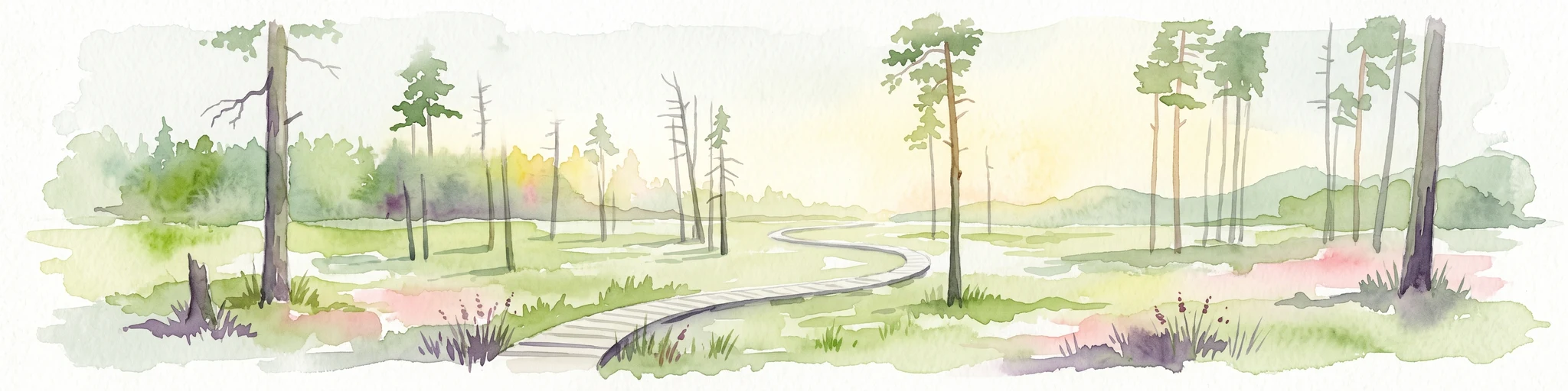
A horizontal watercolor painting of a wooden boardwalk path cutting through a forest clearing with scattered pine trees, rendered in soft light tones.
Nature reserveThuringia
15 km away#2 closest

West

Pöllwitzer Wald Nature Reserve: Geographic Overview and Protected Area Mapping

Historic forest landscapes in the Thuringia region

Pöllwitzer Wald represents a dense, historically significant nature reserve located near the Thuringia and Saxony border. This detailed overview covers the essential geographic features, including the unique moorland basin, coniferous forest transitions, and the remnants of early modern log floating infrastructure that shaped the regional topography.

Area
9.62 km²
Relief
Upland
Climate
Temperate
Access
Easy access
Nature reserveSaxony
About 22 km away#3 closest

Southeast

Heide und Moorwald am Filzteich: Nature Reserve and Bog Landscape in Saxony

Protected moorland forest and heathland geographic context

Heide und Moorwald am Filzteich provides a unique look at habitat management in the Erzgebirge region. This nature reserve, adjacent to the Filzteich reservoir, encompasses a protected mosaic of open heath, remnant bog systems, and historical peatland terrain. Its geographic boundaries offer insights into the transitional landscapes of the Saxon uplands and local water table influences on wetland biodiversity.

Area
3.14 km²
Established
2010
IUCN
IV
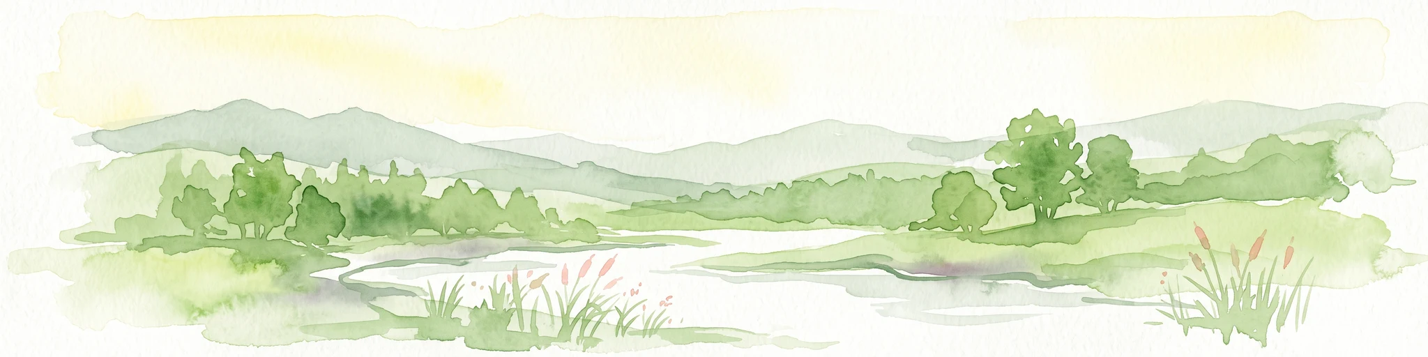
A soft watercolor painting showing a pond landscape with rolling hills in the background, green trees in the midground, and tall grasses along the water edge.
Nature reserveSachsen
25 km away#4 closest

Southwest

Großer Weidenteich Nature Reserve: Mapping the Biodiversity of the Saxon Vogtland

A vital protected landscape shaped by traditional grazing management

Großer Weidenteich acts as a crucial refuge for diverse species, including nearly 700 butterfly varieties and numerous breeding bird populations. The reserve's landscape is characterized by a mix of wetlands, meadows, and shrubby margins that rely on continuous sheep grazing for structural maintenance. This area provides a clear perspective on how small-scale water bodies and varied vegetation patches contribute to the health of the broader Saxon regional ecosystem.

Area
3.349 km²
Established
1994
IUCN
IV
Nature reserveSachsen
About 25 km away#5 closest

East

Hartensteiner Wald Nature Reserve: Saxon Protected Landscapes and Regional Geography

Woodland habitat and river valley terrain in Zwickau

Hartensteiner Wald functions as a key Natura 2000 protected area within the Free State of Sachsen. This reserve offers a layered landscape of native beech woodlands, steep valley slopes, and striking rocky outcrops along the Zwickauer Mulde. Use this atlas perspective to map the reserve's historic features, such as the Prinzenhöhle and Knoblauchfelsen, while understanding its conservation role in the broader Erzgebirge transition zone.

Area
0.89 km²
Established
1961
IUCN
IV
Relief
Upland
Protected landscapeThuringia
About 27 km away#6 closest

Northwest

Zaufensgraben Protected Landscape: Geography and Natural Boundaries in Thuringia, Germany

A steep-sided stream valley and protected nature corridor near Gera

Zaufensgraben is a protected landscape corridor centered on a three-kilometer stream valley in Gera, Thuringia. Renowned for its steep gradient within the Weiße Elster system, this area preserves older willow stands and exposes complex Zechstein geology. Its mapped boundaries offer a look at how small-scale protected terrain maintains ecological character within an urbanized historical setting.

Area
0.11 km²
Relief
Upland
Scope
Terrestrial
Water
Minor water
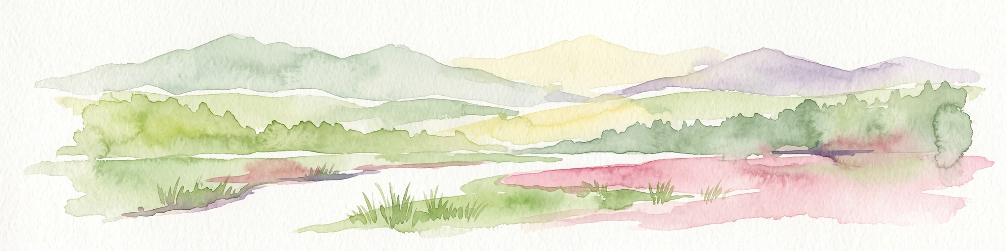
A horizontal watercolor illustration of a gentle landscape with scattered trees, soft green foliage, and faint mountain outlines in the background.
Nature reserveSaxony
About 28 km away#7 closest

Southeast

Am Riedert Nature Reserve: Protected Mountain Forest Geography in Saxony, Germany

Analyzing the ecological boundaries and Hercynian mountain mixed forest terrain

Am Riedert is a compact but ecologically important nature reserve situated on the rugged slopes of the western Erzgebirge. This site protects a significant example of mountain mixed forest, characterized by its mature silver fir populations and active natural regeneration. By examining its location south of the Zwickauer Mulde river, visitors can trace the intersection of Saxon history and conservation within this unique protected landscape.

Area
0.185 km²
Established
1961
IUCN
IV
Relief
Mountain
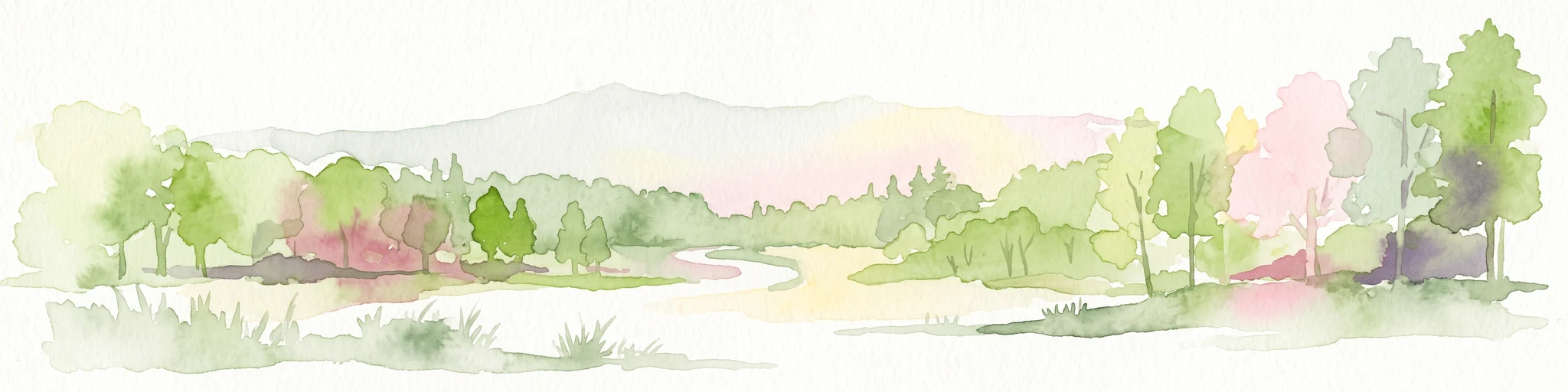
A horizontal watercolor painting showing rolling green hills and distant mountain ridgelines behind a foreground of grassy meadows and trees.
Nature reserveSaxony
About 31 km away#8 closest

Southeast

Dreibächel Nature Reserve: Mapping the Old-Growth Spruce Stands of the Western Ore Mountains

A historic protected landscape and mountain watershed in Saxony, Germany

Dreibächel serves as a living archive of traditional forest management, holding the distinction of containing the oldest spruce trees in Saxony. Located on the slopes of the Schneehübel, the reserve is characterized by a dense, multi-layered mountain forest canopy and the confluence of three vital streams. The area remains a essential site for observing historical plenterwald ecology and the natural hydrology of the Westerzgebirge region.

Area
0.147 km²
Established
1961
IUCN
IV

Common questions about visiting, size, designation, and location context for Waschteich Reuth

Waschteich Reuth FAQs for park facts, access, geography, and protected area context

Find quick answers about Waschteich Reuth, including protected-area facts, park geography, trail and visitor context, and how the park fits into its surrounding country and regional landscape.
MoriAtlas Explorer

Continue Your Protected Areas Search Across the Global Atlas

Deepen your exploration by continuing the structured search for national parks and protected areas worldwide. Utilize the comprehensive filtering capabilities to compare different conservation landscapes and refine your understanding of global park geography. Discover more about the distribution and characteristics of protected natural areas.

Global natural geography