Mori Atlas logo
Park earthquake history

A historical archive of seismic records mapped by proximity to the protected mountainous terrain.

Recorded Earthquake History and Seismic Activity Near Wolong National Nature Reserve in Sichuan

Explore the structured catalogue of historical earthquake events associated by epicentre distance with the rugged landscape of Wolong National Nature Reserve. This collection provides access to documented seismic records, including magnitude, depth, and geolocation data for incidents occurring throughout the surrounding Qionglai Mountains. Use this data to trace the regional seismic history observed within the upper reaches of the Min River system.

Related tags

giant panda habitatsubalpine forestsalpine meadowsmountain reserveQionglai Mountains

A mountain sanctuary for giant pandas on the eastern edge of the Tibetan Plateau

Wolong National Nature Reserve

Wolong National Nature Reserve is a large protected area in the mountainous southwest of Wenchuan County, in the Aba Tibetan and Qiang Autonomous Prefecture of Sichuan Province, China. Established in 1963 and significantly expanded in 1975, it covers roughly 200,000 hectares across the eastern flank of the Qionglai Mountains and the upper reaches of the Min River system, where deep river valleys descend toward the Sichuan Basin. The reserve is best known as one of the most important strongholds for the giant panda. It protects high-altitude forest ecosystems that shelter around 100 wild giant pandas, and supports a broad mosaic of other wildlife and plant species. Since 2021 it has been incorporated into the Giant Panda National Park system, and it is part of the UNESCO World Heritage Site known as the Sichuan Giant Panda Sanctuaries. Beyond its ecological role, Wolong has long been a center for panda research and conservation breeding, and it carries a notable history of earthquake impacts and cross-border reconstruction. The reserve sits within a unique administrative arrangement, the Wolong Special Administrative Region, which has historically governed both the protected area and the local communities living inside it.

Location
China
Park type
Nature reserve
Established
1963
Area
2,000 km²
Highest point
6,250 m
Wolong National Nature Reserve Map and Geography

Navigate Wolong National Nature Reserve events by distance

Explore historical earthquake records near Wolong National Nature Reserve

Wolong National Nature Reserve’s earthquake view associates reported epicentres with its Sichuan mountain boundary by calculated distance, without assigning seismic meaning to steep valleys, subalpine forest, alpine meadows, or panda habitat. Each record provides a date, magnitude, depth, locality, source, and reserve distance for comparison without asserting ecological effects, present hazard, or future activity.

Sort by
Magnitude
Location

This page describes catalogued earthquakes associated with the park by epicentre location and distance. It does not establish causation, assess current danger, or predict future earthquakes.

No earthquake records match the current filters

Park atlas

Continue after Wolong National Nature Reserve earthquake history

Discover other protected areas beyond Wolong National Nature Reserve

Wolong National Nature Reserve earthquake history leads to an independently curated collection of protected areas. These choices do not imply shared nature-reserve status, landscapes, biodiversity, geology, seismic behaviour, proximity, hazard exposure, risk, or equivalent source detail.
National parkChina
Park boundaries overlap#1 closest

East

Giant Panda National Park: China's Premier Panda Habitat and Protected Landscape

Mapped terrain and conservation significance in the mountains of western China.

Giant Panda National Park is a critically important protected area in China, established to conserve the primary habitat for the giant panda. This national park, spanning a vast mountainous region across Sichuan, Gansu, and Shaanxi, integrates numerous former reserves into a unified landscape. It serves as a vital sanctuary, protecting approximately 80 percent of the world's wild panda population and offering deep insights into the geographic distribution and ecological requirements of these endangered animals.

Area
27,134 km²
Established
2020
IUCN
II
Relief
Mountain
A soft, watercolor painting of a terraced landscape with shallow pools, grassy slopes, and distant tree-lined hills.
Protected areaSichuan
139 km away#2 closest

North

Huanglong Scenic and Historic Interest Area: Protected Alpine Landscapes and Travertine Map

High-altitude karst geography in the Minshan Mountains of Sichuan

Huanglong Scenic and Historic Interest Area presents a unique geological profile centered on a long valley of stepped travertine pools that cascade through alpine forests and meadows. This protected area offers a distinct look at the high-mountain geography of Sichuan, providing a clear view of how mineral-rich springs, deep canyons, and glaciated summits create a layered and ecologically significant environment for rare wildlife.

Area
600 km²
Established
1992
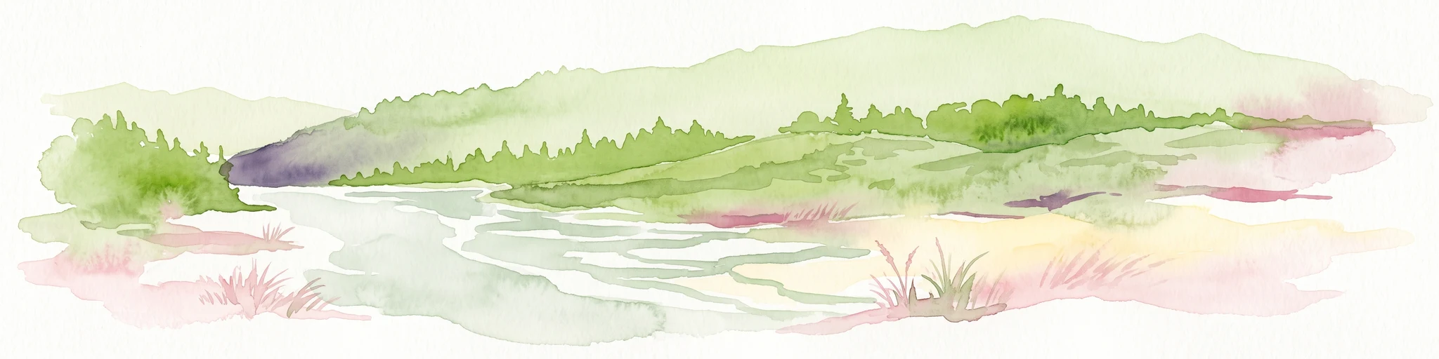
A horizontal watercolor illustration depicting a soft, rolling landscape with green fields, a winding stream, a line of trees, and distant hills against a plain background.
National parkSichuan
187 km away#3 closest

North

Jiuzhaigou National Park: Mapped Geography and Protected Area Overview in Sichuan, China

Travertine terrace systems and high mountain forest landscapes

Located on the edge of the Qinghai-Tibet Plateau, Jiuzhaigou is a protected landscape characterized by a network of clear alpine lakes known as haizi and extensive coniferous forest blocks. The park showcases a rare interplay of water and mineral-rich rock, creating expansive travertine dams and cascading waterfalls across its three main gullies. This atlas entry focuses on the regional geography, habitat distribution, and natural terrain that constitute the essential character of this prominent conservation area within the Min Mountains.

Area
720 km²
Established
1978
Relief
Mountain
Climate
Alpine
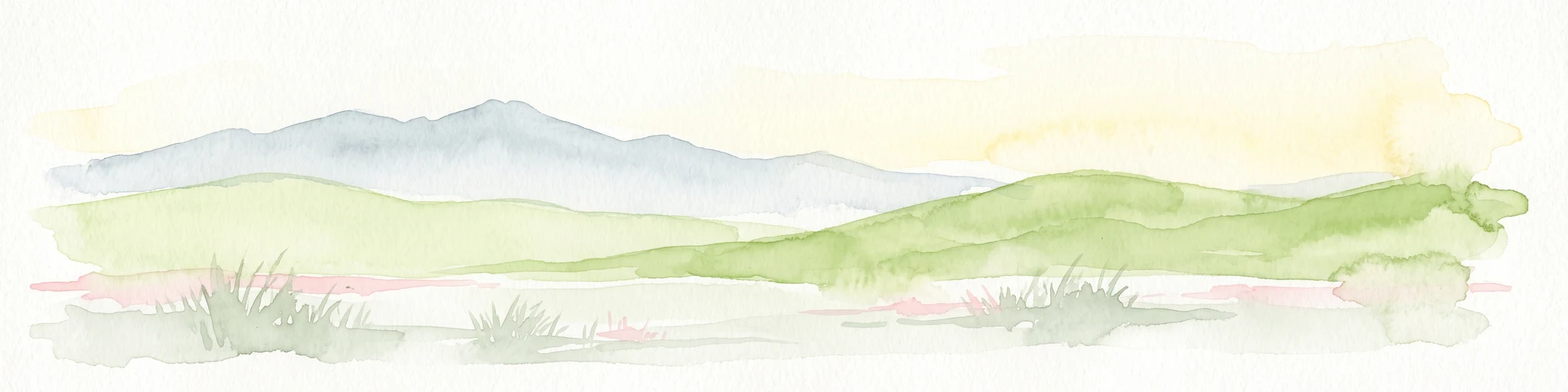
A minimalist watercolor painting featuring soft, abstract layers of rolling green hills in the midground and pale, hazy mountain peaks in the background, set against a light background.
Nature reserveSichuan
About 370 km away#4 closest

Southwest

Sichuan Yading National Nature Reserve: Mapped Protected Landscapes in Western Sichuan

High altitude terrain, glaciated peaks, and alpine geography.

Sichuan Yading National Nature Reserve is a significant protected area in the Garzê Tibetan Autonomous Prefecture, home to the Three Holy Mountains and extensive glacial features. This entry details the reserve geography, focusing on the distribution of alpine meadows, high elevation forests, and the dramatic vertical landscape carved by the Litang River tributaries.

Area
3,815.06 km²
Established
1996
Relief
Mountain
Climate
Alpine
Nature reserveZhaotong
About 374 km away#5 closest

South

Dashanbao Black-necked Crane National Nature Reserve Geographic and Atlas Overview

Protected highland wetlands within the Zhaotong regional geography.

Dashanbao Black-necked Crane National Nature Reserve is a nationally significant protected area in Zhaotong, representing a rare high-elevation wintering habitat for migratory cranes. This rugged plateau landscape features shallow marshlands, alpine grasslands, and an interconnected system of lakes that support delicate highland ecological zones. Use this atlas resource to understand the park terrain and its formal conservation boundaries within the broader context of northeast Yunnan.

Area
192 km²
Established
1990
Relief
Mountain
Climate
Subtropical
National parkQinghai
442 km away#6 closest

Northwest

Sanjiangyuan National Park: Qinghai's High-Altitude Headwater Protected Landscape

Mapped geography of the Yellow, Yangtze, and Mekong river sources.

Sanjiangyuan National Park, situated in the high-altitude Qinghai region of China, is a crucial protected area established to safeguard the headwaters of three of Asia's most significant rivers: the Yellow, Yangtze, and Mekong. Covering an immense area with an average elevation exceeding 4,700 meters, the park preserves vital alpine wetlands, grasslands, and the source ecosystems that sustain hundreds of millions downstream. Its protected landscape identity is defined by its extreme elevation, vast marshlands, and its role as a critical water source, offering unparalleled opportunities for geographic and atlas-style exploration of pristine high-altitude terrain.

Area
190,700 km²
Established
2021
IUCN
II
Relief
Highland
Nature reserveChina
About 483 km away#7 closest

Northeast

Changqing Nature Reserve: Mountain Forest Geography and Conservation Mapping

A vital Qinling Range protected area in Shaanxi Province, China

This reserve provides a deep look at the biodiversity of the Qinling Mountains, featuring steep terrain, bamboo-rich slopes, and vital forest river corridors. It serves as a globally recognized model for protected area management and provides a habitat for rare species within its vertical landscape.

Area
300 km²
Established
1995
Relief
Mountain
Access
Access unknown
Protected areaYunnan
About 539 km away#8 closest

Southwest

Three Parallel Rivers of Yunnan Protected Areas: Mapped Geography and Protected Mountain Terrain

An atlas perspective on the Hengduan Mountain river corridor

The Three Parallel Rivers of Yunnan Protected Areas represents a unique geographic phenomenon in the Hengduan Mountains of China. The protected area is defined by deep, parallel river canyons, massive snow-capped peaks, and an exceptional vertical range of ecosystems. This atlas entry focuses on the regional layout, mapped mountain corridors, and the ecological significance of a site where three major rivers flow in close proximity for over 170 kilometers.

Area
17,000 km²
Established
2003
Relief
Mountain
Climate
Alpine
MoriAtlas Explorer

Explore the Mapped Geography and Protected Terrain of Wolong National Nature Reserve

Trace the mountainous boundaries and river systems of Wolong National Nature Reserve in Sichuan. MoriAtlas provides a structured look at the high-altitude forest ecosystems and protected landscapes that define this essential habitat. Deepen your geographic understanding of this major nature reserve and its unique position in the Qionglai Mountains.