Mori Atlas logo
Nearby park discovery

Geographic exploration of protected land boundaries and nearby regional river corridors

Protected Areas and Natural Landscapes Near the Wupper bei Radevormwald Nature Reserve

Browse the geographic distribution of protected areas located in the vicinity of Wupper bei Radevormwald. This spatial overview highlights the regional park landscape and relative proximity of preserved natural sites across the Oberbergischer Kreis and wider surroundings. Trace the connections between this river-valley reserve and other protected zones through their mapped territorial relationships.

A flat-style digital illustration showing a waterfall cascading into a river surrounded by pine trees, cliffs, and a distant mountain under a soft sun.

A river valley nature reserve protecting near-natural stretches of the Wupper in North Rhine-Westphalia.

Wupper bei Radevormwald

Wupper bei Radevormwald is a small nature reserve in the Bergisches Land region of western Germany, established to protect a representative stretch of the Wupper river northwest of the town of Radevormwald. The protected area follows the valley of the Wupper from below the Wuppertalsperre reservoir in the south toward the outskirts of Beyenburg in the north, passing through a landscape of meanders, sluggish impounded reaches, and forested slopes. The reserve holds particular value for its near-natural river course and its associated gallery forests, including beech-oak and Luzula beech woodland with significant amounts of old and dead wood, as well as smaller patches of black alder floodplain forest. It is internationally recognized through its inclusion in parts of the Natura 2000 Habitats Directive site "Wupper östlich Wuppertal" and is classified as an IUCN Category IV Habitat/Species Management Area. Although compact in size, the area is ecologically rich. Otters in the form of returning beaver activity, kingfishers, white-throated dippers, black storks and red kites regularly occur, while eagle owls may use nearby cliff and quarry habitats. The combination of a varied flowing-water system, intact riparian woodland and its position within the wider Natura 2000 network gives the reserve considerable regional importance for protecting the Wupper river ecosystem.

Location
Germany
Park type
Nature reserve
Established
2003
Area
1.2 km²
Highest point
270 m
Explore Wupper bei Radevormwald Nature Reserve
Regional park map

See the ranked park cluster in its geographic setting

Nearby parks around Wupper bei Radevormwald

This regional map shows the same 20 nearby parks ranked below around Wupper bei Radevormwald. Select a ranked marker to highlight that park’s boundary where boundary data is available.
Reference park: Wupper bei RadevormwaldRanked nearby park20 nearby parks shown
20 nearby parks

Ranked distance metrics and regional environmental comparisons across surrounding protected landscapes

Parks and Protected Areas Geographically Near Wupper bei Radevormwald

Geographic proximity rankings establish spatial relationships between Wupper bei Radevormwald and surrounding protected areas using mapped boundary measurements. Structured comparison signals reveal wider regional conservation patterns and distinct ecological characteristics across neighboring terrain.
Nature reserveNordrhein-Westfalen
About 1.2 km away#1 closest

West

Wilhelmsthaler und Haller Bachtal Nature Reserve: Bergisches Land Landscape and Map

A study of protected stream valleys and habitat mosaics in North Rhine-Westphalia.

Located in Remscheid, the Wilhelmsthaler und Haller Bachtal nature reserve protects a diverse array of interconnected stream-side and grassland habitats. This area demonstrates the ecological value of traditional valley landscapes in the Bergisches Land, providing essential connectivity for rare flora and local stream ecosystems through its unique relief and water corridors.

Area
0.103 km²
Established
2003
IUCN
IV
Relief
Upland
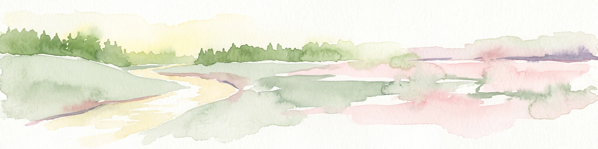
A horizontal watercolor painting depicting a meandering stream flowing through open, green, and pink-toned marshy grasslands bordered by a distant treeline.
Nature reserveNordrhein-Westfalen
About 3.9 km away#2 closest

North

Spreeler Bachtal Nature Reserve: Geography and Protected Valley Landscapes

An upland nature reserve in the Bergisches Land region of Germany.

This nature reserve centers on the meandering Spreeler Bach, a gravel-bedded stream defining a diverse protected area in North Rhine-Westphalia. The terrain includes wet meadows, spring-fed grassland, and managed deciduous forests on steeply rising valley slopes. It serves as a prime example of targeted habitat conservation within the larger slate landscapes of the Bergisches Land, straddling administrative boundaries between Radevormwald and Ennepetal.

Area
0.21 km²
Established
2019
IUCN
IV
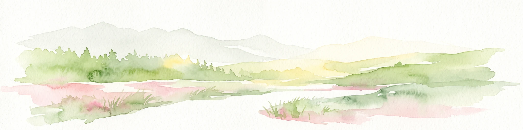
A soft watercolor illustration of a green valley with a central stream or river winding through meadows towards distant hills.
Nature reserveOberbergischer Kreis
About 5.2 km away#3 closest

Southeast

Leiverbachtal und Talhänge: Protected Stream Valley and Forest Habitat in Oberbergischer Kreis

Examining the geography of a Bergisches Land nature reserve

Leiverbachtal und Talhänge stands as a significant nature reserve within the Oberbergischer Kreis, defined by its near-natural meandering stream and diverse riparian ecosystem. The site offers a detailed look at floodplain meadows, slope forest transitions, and the ongoing shift toward broadleaf woodland within the German Mittelgebirg landscape.

Area
0.92 km²
Established
2006
IUCN
IV
Relief
Upland
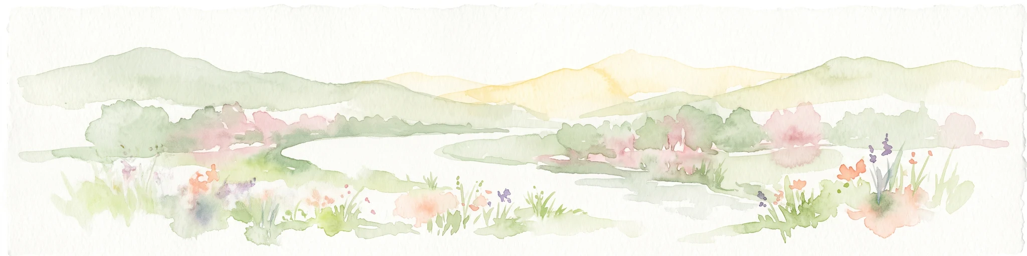
A wide watercolor illustration showing a winding river flowing through a green valley with pink and purple flowers in the foreground and soft yellow hills in the background.
Nature reserveNordrhein-Westfalen
About 6.8 km away#4 closest

West

Leyerbachtal Nature Reserve: A Protected Valley and Industrial Heritage Site in Remscheid

An alluvial landscape and low-mountain stream corridor in Germany

Leyerbachtal serves as a vital protected corridor featuring a meandering brook, expansive gravel banks, and species-rich wet meadows. Located in the heart of the Bergisches Land, this nature reserve integrates high-value ecological habitats with the historic industrial remnants of Remscheid's water-powered past.

Area
0.151 km²
Established
2003
IUCN
IV
Nature reserveNorth Rhine-Westphalia
About 8.4 km away#5 closest

South

Wupperaue bei Westenbrücke Nature Reserve Landscape and Geographic Mapping

Protected riparian floodplain in the Oberbergischer Kreis

This nature reserve protects a vital 2.3 kilometer segment of the Wupper river valley. Its landscape is characterized by a mosaic of wet meadows, alder and willow stands, and riparian corridors, providing a crucial stepping-stone habitat within the Hückeswagen area of North Rhine-Westphalia.

Area
0.318 km²
Established
2013
IUCN
IV
Watercolor painting of a rolling rural landscape with distant purple hills, green meadows, and trees, with a soft yellow sky.
Nature reserveNordrhein-Westfalen
About 8.9 km away#6 closest

West

Naturschutzgebiet Oelingrather und Grunder Bachtal: Regional Valley Conservation Atlas

Deep-dive into the stream networks of Nordrhein-Westfalen

Naturschutzgebiet Oelingrather und Grunder Bachtal is defined by its two parallel V-shaped valleys and diverse aquatic habitats. This reserve preserves a vital mosaic of wet meadows, nutrient-poor grasslands, and deciduous forests that function as an essential stepping-stone within the regional ecological network of the Bergisches Land.

Area
0.222 km²
Established
2003
IUCN
IV
Relief
Upland
A watercolor painting showing a soft, stylized landscape of a meadow with low rolling hills in the background.
Nature reserveNordrhein-Westfalen
About 11 km away#7 closest

Southwest

Naturschutzgebiet Orchideenwiese bei Heintjeshammer: Regional Nature Reserve and Landscape Atlas

Examining meadow diversity and protected habitats in North Rhine-Westphalia

Spanning roughly 4.3 hectares on a hillside above the Eschbach valley, this nature reserve protects a rare assemblage of wetland, heathland, and wooded siefen habitats. It remains a key focus for understanding the distribution of species-rich grassland ecosystems that persist in the rolling topography of the Bergische Hochfläche.

Area
0.043 km²
Established
2000
IUCN
IV
Relief
Upland
Nature reserveNordrhein-Westfalen
About 13 km away#8 closest

Southwest

Wupper und Wupperhänge südlich Müngsten Protected Nature Reserve and River Valley Geography

Mapped river slopes and protected forest landscapes in Nordrhein-Westfalen

This nature reserve protects a 2.8 kilometer stretch of the Wupper valley, defined by steep ravines, rocky slate outcrops, and ancient broadleaf forests. As an important habitat for local river-dependent flora and fauna, the area offers a structured look at low mountain landscape ecology and complex hydraulic stream networks in the Bergisches Land region.

Area
1.443 km²
Established
2003
IUCN
IV
A horizontal watercolor illustration depicting rolling hills, forest patches, and a soft, hazy valley against a white background.
Nature reserveNorth Rhine-Westphalia
About 13 km away#9 closest

South

Mausbachtal Nature Reserve in North Rhine-Westphalia: Protected Stream Valley and Forest Landscapes

Regional stream valley network and deciduous forest landscape

This protected area in the Oberbergischer Kreis offers a window into the Bergische Hochflächen topography. The reserve highlights a mosaic of near-natural beech forest, wet meadows, and floodplain woodland, forming an integral link in the regional stream network connected to the Große Dhünn.

Area
0.237 km²
Established
2013
IUCN
IV
A flat, vector-style illustration of a valley with a winding path in the foreground, coniferous trees, a waterfall, and rocky cliffs under a light sky.
Nature reserveOberbergischer Kreis
About 14 km away#10 closest

Southeast

Ibachtal und Nebenbäche Nature Reserve: Geographic Overview and Protected Stream Landscape

Stream valley connectivity in the Oberbergischer Kreis

Trace the landscape of the Ibachtal und Nebenbäche nature reserve through its distinct stream valleys, alder gallery forests, and botanically diverse wet meadows. This area serves as a primary example of stream-based ecological protection in the Bergisches Land, characterized by narrow ravine-like tributaries and expansive floodplain grassland.

Area
0.268 km²
Established
2013
IUCN
IV
Watercolor painting of a rolling landscape with soft green hills, forest patches, and a winding stream.
Nature reserveGermany
About 14 km away#11 closest

South

Schwarzenbachtal Nature Reserve: Regional Protected Landscape and Stream Valley Atlas

A mapped overview of protected habitats in North Rhine-Westphalia

Schwarzenbachtal serves as a vital protected area in Germany, defined by its elongated brook valley and intricate transitions between wet meadows and dry grassland mosaics. As part of the Bergisches Land stream network, this nature reserve illustrates the ecological significance of small-scale valley landscapes and their role in regional conservation geography.

Area
0.082 km²
Established
2013
Relief
Upland
Climate
Temperate
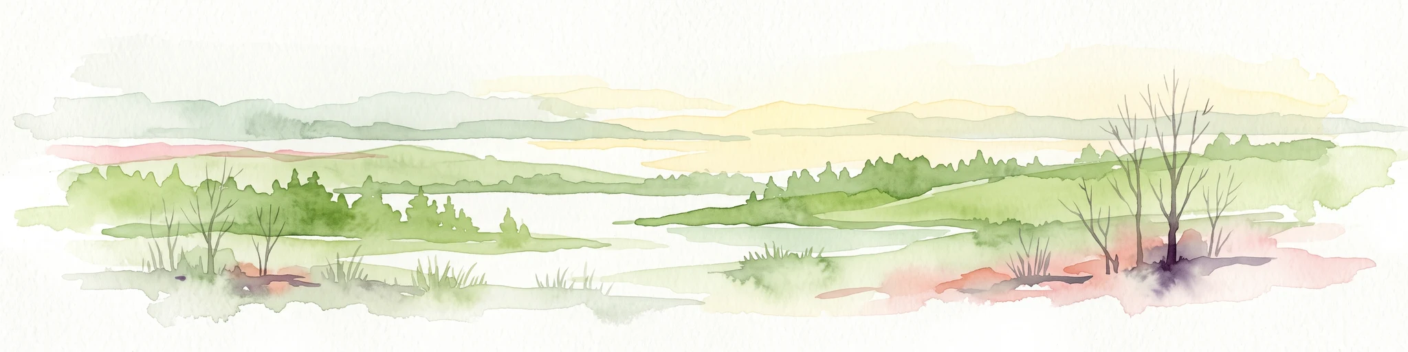
A watercolor painting showing a soft landscape with a stream winding through green meadows toward distant hills, framed by trees on the left.
Nature reserveNordrhein-Westfalen
About 16 km away#12 closest

North

Naturschutzgebiet Oberes Sprockhöveler Bachtal: Protected Valley and Stream Geography

A nature reserve in the Ruhr foothills of Nordrhein-Westfalen

Examine the mapped boundaries and natural terrain of Naturschutzgebiet Oberes Sprockhöveler Bachtal, a compact reserve featuring a near-natural lowland brook. This habitat supports wet grassland, alder-willow galleries, and beech forest slopes that together form a protected ecological unit within the regional landscape of Nordrhein-Westfalen.

Area
0.158 km²
Established
1995
IUCN
IV
Nature reserveOberbergischer Kreis
About 19 km away#13 closest

Southeast

Wupperaue bei Gogarten Nature Reserve: Protected River Valley and Riparian Habitat

Geographic overview of the Wipper river corridor in North Rhine-Westphalia

Located in the Oberbergischer Kreis, this nature reserve protects a seven hectare stretch of the Wipper valley. The landscape is characterized by alder riparian forests, steep river banks, and moist flood meadows that function as an essential biological stepping stone for riverine biodiversity.

Area
0.07 km²
Established
2005
IUCN
IV
Relief
Lowland
A horizontal watercolor illustration depicting rolling green hills, patches of forest, and distant purple-hued slopes under a pale sky.
Protected landscapeGermany
About 19 km away#14 closest

Northeast

Landschaftsschutzgebiet Eilper Berg/Langenberg: Mapped Protected Landscape in North Rhine-Westphalia

A vital green corridor of forest ridges and stream valleys

Landschaftsschutzgebiet Eilper Berg/Langenberg serves as a crucial ecological link near Hagen, Germany. This protected landscape features a rugged mosaic of ridge-and-valley terrain, supporting diverse bird species and historic cultural sites like the Wallburg Ambrock, while maintaining a green connection into the rural landscape.

Area
7.543 km²
Established
1994
Relief
Upland
Scope
Terrestrial
A soft, minimalist watercolor painting showing rolling green hills, a small grouping of trees, and muted yellow and pink ground tones against a white background.
Protected landscapeNordrhein-Westfalen
About 20 km away#15 closest

Northeast

Landschaftsschutzgebiet Asmecker Bachtal: A Protected Woodland Mosaic in North Rhine-Westphalia

Mapped stream valley, forest corridors, and heritage sites near Hagen

Landschaftsschutzgebiet Asmecker Bachtal protects a significant 569-hectare tract defined by its namesake stream valley and mature forest communities. This area acts as a vital landscape buffer between urban Hagen and regional transport infrastructure, preserving a mix of valley woodlands, historic agricultural sites, and a former quarry that anchors the local topography.

Area
5.693 km²
Established
1994
IUCN
V
Nature reserveRheinisch-Bergischer Kreis
About 20 km away#16 closest

South

Naturschutzgebiet Olpebachtal: Nature Reserve and Protected Stream Valley Geography

A protected landscape mosaic in Rheinisch-Bergischer Kreis

Naturschutzgebiet Olpebachtal protects a unique, near-natural section of the Olpebach stream valley. Characterized by wide floodplains, wet meadows, and narrow tributary ravines, the reserve functions as a critical habitat linkage within the rolling terrain of the Bergische Hochflächen. Its geography provides a clear window into the stream-floodplain systems that define the natural character of the broader region.

Area
0.251 km²
Established
1990
IUCN
IV
A horizontal watercolor painting showing a peaceful river valley with green meadows, trees on both sides, and soft rolling hills in the background under a warm sky.
Nature reserveRheinisch-Bergischer Kreis
About 21 km away#17 closest

Southwest

Naturschutzgebiet Pfengstbach: Protected Brook Valley and Meadow Landscape Analysis

Regional geography and natural valley terrain of Rheinisch-Bergischer Kreis

Analyze the structural integrity of the Naturschutzgebiet Pfengstbach brook valley, featuring a detailed look at its riparian woodland, seepage springs, and wet meadow distribution. This protected area offers a precise example of Bergisches Land valley morphology, where meadow floors and mixed deciduous slopes intersect within a significant Natura 2000-linked conservation corridor.

Area
18.6 km²
Established
1994
IUCN
IV
Relief
Upland
Nature reserveNordrhein-Westfalen
About 21 km away#18 closest

South

Naturschutzgebiet Scherfbachtal: Protected Stream Valley and Spring Landscape Analysis

Regional protected geography in Nordrhein-Westfalen

Delve into the protected terrain of Naturschutzgebiet Scherfbachtal, which preserves a rare network of spring basins, wet meadows, and floodplain forests. This site exemplifies the ecological value of small, interconnected valley habitats within the wider Bergisches Land region of North Rhine-Westphalia, providing essential sanctuary for local stream-dependent ecosystems.

Established
2012
IUCN
IV
Protected landscapeNordrhein-Westfalen
About 22 km away#19 closest

Northeast

Landschaftsschutzgebiet Egge: Exploring the Karst Geography and Forested Hills of Hagen

A structured overview of protected terrain and regional landscape boundaries

Landschaftsschutzgebiet Egge encompasses an extensive system of wooded hills, including the Egge, Piepenbrink, and Franzosenschanze summits. This protected area offers a look at unusual geomorphological features, such as limestone-formed dry valleys and swallow holes, serving as a vital natural asset within the urban landscape of Nordrhein-Westfalen.

Area
5.397 km²
Established
1994
Relief
Upland
Climate
Temperate
Nature reserveOberbergischer Kreis
About 22 km away#20 closest

Southeast

Wipperaue Eulenbecke: A Detailed Map of Protected Riparian Landscapes and Habitats

Ecological geography within the Oberbergischer Kreis region

Wipperaue Eulenbecke protects a structured headwater stream and associated floodplain fragments along the upper Wupper river. Through its network of wet meadows, alluvial woodland, and tributary valleys, the reserve demonstrates the importance of small-scale aquatic conservation in a forested, mid-elevation landscape. Access detailed geographic data on its terrain, stream morphology, and connectivity within the wider regional conservation network.

Area
0.219 km²
Established
2005
IUCN
IV
Relief
Upland
Distance methodology

Geographic measurements, not driving distances

How nearby park distances are calculated

Distances use park boundaries whenever the available geometry allows it. When one or both boundaries are missing, the mapped park locations provide a clearly labelled estimate. Every value represents straight-line geographic separation and does not use roads or routing.

Boundary distance

Calculated between the nearest points of both park boundaries.

Location-to-boundary estimate

Estimated from one mapped park location to the nearest boundary of the other park.

Mapped-location estimate

Estimated between the mapped locations of both parks.

MoriAtlas Explorer

Continue Exploring the Protected Landscapes of Wupper bei Radevormwald

Investigate the detailed geography and ecological significance of the Wupper bei Radevormwald nature reserve. MoriAtlas provides structured insights into this protected river valley, helping you understand its unique terrain, riparian boundaries, and place within the regional network of German conservation landscapes.