Northwest
Lake District National Park
Mapped mountain terrain and glacial valleys in Cumbria
Lake District National Park, in Cumbria, United Kingdom. Landscapes: mountains, valleys, and lakes.
- Area
- 2,292 km²
- Established
- 1951
- IUCN
- V
- Relief
- Mountain
A mapped catalogue of past seismic events documented in the surrounding North Yorkshire landscape
Access a chronological overview of recorded seismic activity in the vicinity of Yorkshire Dales National Park. This catalogue provides indexed data on past earthquake epicentres, including associated magnitudes and depths relative to the park boundaries, offering an objective perspective on regional seismic history. Explore this collection to view the distribution and historical frequency of recorded events surrounding this prominent English landscape.

England's iconic limestone landscape of dales, peaks, and rolling moorland
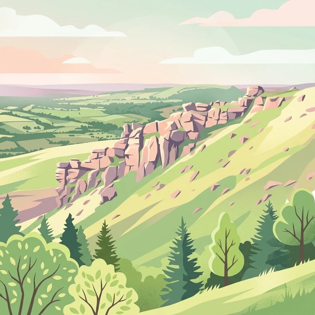
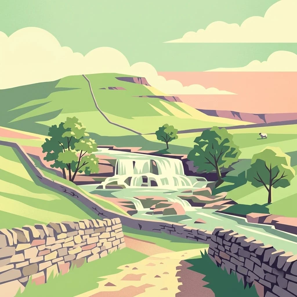
Yorkshire Dales National Park is one of England's ten national parks, protecting a landscape of outstanding natural beauty in the north of England. The park covers approximately 2,178 square kilometers of the Yorkshire Dales, Howgill Fells, and Orton Fells, spanning parts of North Yorkshire, Cumbria, and Lancashire. Designated in 1954 and significantly expanded in 2016, the park is characterized by its deep limestone valleys, rolling hills, heather-clad moorlands, and distinctive dry-stone walls that pattern the countryside. The landscape supports over 1,000 working farms and around 23,500 residents within its boundaries, making it a living cultural landscape where traditional agriculture and nature conservation coexist. The park was named an International Dark Sky Reserve in 2020, recognizing the exceptional quality of its nighttime skies.
Trace regional seismic activity by epicentre distance, recorded magnitude, and historical depth.
Geological datasets compile historical seismic events based on the spatial distance between each recorded epicentre and Yorkshire Dales National Park. Each recorded entry provides factual parameters for comparison, detailing the specific event date, magnitude, focal depth, reported location, calculated distance from the park, and official data source access.
This page describes catalogued earthquakes associated with the park by epicentre location and distance. It does not establish causation, assess current danger, or predict future earthquakes.
No earthquake records match the current filters
Discover notable national parks and conservation areas across the region

Northwest
Mapped mountain terrain and glacial valleys in Cumbria
Lake District National Park, in Cumbria, United Kingdom. Landscapes: mountains, valleys, and lakes.

Southeast
A sprawling network of moorland, wetlands, and gritstone valleys.
Spanning over a thousand hectares, this protected nature reserve integrates varied terrain across the Bradford district. From the ancient post-glacial sediments of Bingley North Bog to the sweeping gritstone plateaus, the reserve provides essential habitat for upland bird species and rare reptiles. It stands as a vital corridor of wilderness within the northern landscape, illustrating the geological character of the South Pennines.

West
Lancashire coastal wetland and reedbed ecosystems
Leighton Moss RSPB Reserve stands as the largest reedbed complex in north west England. This protected wildlife reserve offers a distinct landscape contrast between enclosed freshwater wetlands and the open saltmarsh of Morecambe Bay, providing essential habitat data for regional environmental study and birdlife geography.

South
Mapped boundaries and natural terrain context for this UK national park.
Investigate the Peak District National Park, a cornerstone of the United Kingdom's protected natural areas. This MoriAtlas entry provides essential details on its geographic scope, mapped boundaries, and landscape characteristics. Engage with structured data to understand how this national park fits into the atlas of the United Kingdom, supporting detailed geographic and protected-area discovery for researchers and explorers.

East
Discover mapped moorland, dales, and coastlines.
The North York Moors National Park is a vital protected landscape in North Yorkshire, celebrated for its extensive heather moorland and distinctive deeply incised dales. This page provides an atlas-style exploration of the park's geography, highlighting its unique terrain, mapped boundaries, and its integral role within the regional landscape context. Understand the diverse natural features that define this iconic national park, from the upland plateau to the dramatic Jurassic coast.
North
Explore its mapped boundaries, Roman heritage, and remote moorland terrain.
Northumberland National Park protects over 1,050 square kilometers of remote and stunning natural beauty in northern England, bordering Scotland. This page provides a structured overview of its protected landscape, focusing on its geographic context within the county of Northumberland, its designation as a National Park, and its renowned status as Europe's largest Dark Sky Park. Users can discover the park's characteristic moorland terrain, the archaeological significance of Hadrian's Wall, and the vast expanses of Kielder Forest, offering an atlas-level understanding of this unique frontier landscape.

Northwest
A vital protected coastal stretch along the Solway Firth.
Discover the unique geography of Allonby Bay, a marine protected zone distinguished by its sweeping dunes, honeycomb worm reefs, and saline marshes. Situated along the Solway coast of Cumbria, the area serves as a critical habitat for marine species while housing significant Roman milefortlets that mark the historic frontier of northern England.
West
Mapped protected landscape in northwest England
West of Walney is a major marine protected area off the Cumbrian coast, notable for its 388 square kilometre coverage of subtidal mud and sand habitats. This site is uniquely shaped by its overlap with offshore wind energy infrastructure, providing a distinct study in regional conservation and seabed management within the Irish Sea.
Discover the detailed geographic context and mapped protected boundaries of Yorkshire Dales National Park. This page serves as a gateway to understanding the park's unique landscape features and its position within the regional atlas of England's natural areas. Expand your knowledge of its terrain and protected status to deepen your appreciation of this significant natural asset.