
Cave entrances
Park geography
Analyze the spatial extent, elevation metrics, and diverse physical landscapes within the region
Yorkshire Dales National Park: Structured Geographic Data, Boundary Mapping, and Terrain
Detailed geographic analysis of Yorkshire Dales National Park, covering the recorded 2178 square kilometers of protected land across North Yorkshire and Cumbria. Access structured data on elevation, including the 736 meter high point, alongside the distribution of mountains, valleys, and riverine karst systems.
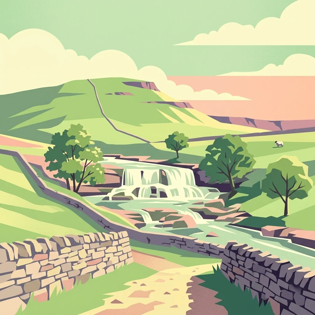
England's iconic limestone landscape of dales, peaks, and rolling moorland
Yorkshire Dales National Park
Yorkshire Dales National Park is one of England's ten national parks, protecting a landscape of outstanding natural beauty in the north of England. The park covers approximately 2,178 square kilometers of the Yorkshire Dales, Howgill Fells, and Orton Fells, spanning parts of North Yorkshire, Cumbria, and Lancashire. Designated in 1954 and significantly expanded in 2016, the park is characterized by its deep limestone valleys, rolling hills, heather-clad moorlands, and distinctive dry-stone walls that pattern the countryside. The landscape supports over 1,000 working farms and around 23,500 residents within its boundaries, making it a living cultural landscape where traditional agriculture and nature conservation coexist. The park was named an International Dark Sky Reserve in 2020, recognizing the exceptional quality of its nighttime skies.
- Location
- United Kingdom
- Park type
- National park
- Established
- 1954
- Area
- 2,178 km²
- Highest point
- 736 m
Location overview
Regional distribution across North Yorkshire and Cumbria
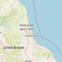
Geographic Position of Yorkshire Dales National Park
Yorkshire Dales National Park is situated in the United Kingdom, spanning parts of North Yorkshire and Cumbria. Legal records confirm its status as an inland, non-transboundary protected area.
- Countries
- United Kingdom
- Regions
- Cumbria, North Yorkshire
- Primary location
- North Yorkshire
- Geographic setting
- Inland
Boundary and coordinates
Mapped spatial outline and calculated area dimensions
Yorkshire Dales National Park Boundary Map and Geographic Extent
Interactive boundary geometry provides spatial context for the protected landscape across the region. Associated measurements detail total area coverage and coordinate limits without claiming legal survey precision.
- Boundary area
- 2,187.4 km²
- Boundary perimeter
- 317.2 km
- Northernmost point
- 54.5689° N
- Southernmost point
- 53.9543° N
- Easternmost point
- 1.7595° W
- Westernmost point
- 2.6478° W
- Geographic centre
- 54.2607° N, 2.2216° W
- North–south span
- 68.4 km
- East–west span
- 57.9 km
Elevation and terrain
Mountain relief features, ridges, valleys, and recorded spatial dimensions
Yorkshire Dales National Park Terrain and Elevation Summary
Recorded elevation metrics establish a peak altitude of 736 meters across the mountain terrain. Linked feature cards supply names, types, and spatial relationships for structural landforms located within.
- Maximum elevation
- 736 m
- Highest point
- 736 m
Selected named natural features
Cave entrances
Gaping Gill
Waterfalls
Janet's Foss
Natural springs
Black Keld
Cave entrances
Spring Trap Cave
Waterfalls
The Strid
Environmental setting
Temperate climate zones, mountain relief, and karst terrain classifications
Yorkshire Dales National Park Environmental Classifications and Physical Setting
Recorded landscape features and habitat types frame the physical setting across varying elevations. Stored classifications connect recorded categories to relevant atlas destinations.
- Relief
- Mountain
- Climate
- Temperate
- Water
- Major water bodies
- Forest cover
- Partial forest
- Seasonality
- Year-round
Landscape features
Mountains · Valleys · Cliffs · Grassland · Rivers · Waterfalls · Cave · Karst
Habitat types
Temperate broadleaf forest · Grassland · Riverine habitat · Karst habitat
Park atlas
Trace the Mapped Geography of Protected Areas and Compare Landscapes Surrounding Yorkshire Dales National Park
Explore Other National Parks and Protected Landscapes Near Yorkshire Dales National Park
Browse a detailed atlas of national parks and other protected areas found within the broader geographic region surrounding Yorkshire Dales National Park. Compare distinct upland moorlands, limestone formations, and traditional pastoral landscapes, gaining broader regional context and protected-area insights.
National parkCumbria
0.1 km away#1 closest
Northwest

Lake District National Park: Protected Landscape Atlas and Geographic Exploration
Mapped mountain terrain and glacial valleys in Cumbria
Delve into the geography of Lake District National Park, a protected area renowned for its dramatic mountainous terrain, U-shaped glacial valleys, and stunning natural lakes. This atlas perspective highlights the park's unique landscape features, mapped boundaries, and its significance within Cumbria, offering a comprehensive view for geographic discovery.
- Area
- 2,292 km²
- Established
- 1951
- IUCN
- V
- Relief
- Mountain
Nature reserveWest Yorkshire
About 12 km away#2 closest
Southeast
Bradford Pennine Gateway: Protected Pennine Fringe Geography in West Yorkshire
A sprawling network of moorland, wetlands, and gritstone valleys.
Spanning over a thousand hectares, this protected nature reserve integrates varied terrain across the Bradford district. From the ancient post-glacial sediments of Bingley North Bog to the sweeping gritstone plateaus, the reserve provides essential habitat for upland bird species and rare reptiles. It stands as a vital corridor of wilderness within the northern landscape, illustrating the geological character of the South Pennines.
- Area
- 12.74 km²
- Established
- 2025
- Water
- Minor water
- Season
- Year-round
Wildlife reserveLancashire
About 13 km away#3 closest
West
Leighton Moss RSPB Reserve: Geographic Atlas and Protected Wetland Boundary Analysis
Lancashire coastal wetland and reedbed ecosystems
Leighton Moss RSPB Reserve stands as the largest reedbed complex in north west England. This protected wildlife reserve offers a distinct landscape contrast between enclosed freshwater wetlands and the open saltmarsh of Morecambe Bay, providing essential habitat data for regional environmental study and birdlife geography.
- Established
- 1964
- Relief
- Lowland
- Access
- Easy access
- Scope
- Terrestrial
National parkUnited Kingdom
40 km away#4 closest
South
Peak District National Park: Explore Protected Landscape and Regional Geography
Mapped boundaries and natural terrain context for this UK national park.
Investigate the Peak District National Park, a cornerstone of the United Kingdom's protected natural areas. This MoriAtlas entry provides essential details on its geographic scope, mapped boundaries, and landscape characteristics. Engage with structured data to understand how this national park fits into the atlas of the United Kingdom, supporting detailed geographic and protected-area discovery for researchers and explorers.
- Area
- 1,440 km²
- Established
- 1951
- IUCN
- V
- Visitors
- 13M annual
National parkNorth Yorkshire
About 43 km away#5 closest
East
North York Moors National Park: Explore its Protected Landscape and Geography
Discover mapped moorland, dales, and coastlines.
The North York Moors National Park is a vital protected landscape in North Yorkshire, celebrated for its extensive heather moorland and distinctive deeply incised dales. This page provides an atlas-style exploration of the park's geography, highlighting its unique terrain, mapped boundaries, and its integral role within the regional landscape context. Understand the diverse natural features that define this iconic national park, from the upland plateau to the dramatic Jurassic coast.
- Area
- 1,430 km²
- Established
- 1952
- IUCN
- V
- Relief
- Upland
National parkNorthumberland
46 km away#6 closest
North
Northumberland National Park: England's Northernmost Protected Landscape and Dark Sky Wilderness
Explore its mapped boundaries, Roman heritage, and remote moorland terrain.
Northumberland National Park protects over 1,050 square kilometers of remote and stunning natural beauty in northern England, bordering Scotland. This page provides a structured overview of its protected landscape, focusing on its geographic context within the county of Northumberland, its designation as a National Park, and its renowned status as Europe's largest Dark Sky Park. Users can discover the park's characteristic moorland terrain, the archaeological significance of Hadrian's Wall, and the vast expanses of Kielder Forest, offering an atlas-level understanding of this unique frontier landscape.
- Area
- 1,050 km²
- Established
- 1956
- IUCN
- V
- Relief
- Highland
Marine protected areaCumbria
About 59 km away#7 closest
Northwest
Allonby Bay Marine Protected Area: Coastal Landscapes and Roman Archaeology in Cumbria
A vital protected coastal stretch along the Solway Firth.
Discover the unique geography of Allonby Bay, a marine protected zone distinguished by its sweeping dunes, honeycomb worm reefs, and saline marshes. Situated along the Solway coast of Cumbria, the area serves as a critical habitat for marine species while housing significant Roman milefortlets that mark the historic frontier of northern England.
- Area
- 40 km²
- Established
- 2016
- Relief
- Lowland
- Climate
- Temperate
Marine protected areaEngland
About 62 km away#8 closest
West
West of Walney Marine Protected Area: Irish Sea Geographic and Seabed Analysis
Mapped protected landscape in northwest England
West of Walney is a major marine protected area off the Cumbrian coast, notable for its 388 square kilometre coverage of subtidal mud and sand habitats. This site is uniquely shaped by its overlap with offshore wind energy infrastructure, providing a distinct study in regional conservation and seabed management within the Irish Sea.
- Area
- 388 km²
- Established
- 2016
- Relief
- Lowland
- Climate
- Temperate
MoriAtlas Explorer
Continue Your Atlas Exploration of Yorkshire Dales National Park
Discover the detailed geographic context and mapped protected boundaries of Yorkshire Dales National Park. This page serves as a gateway to understanding the park's unique landscape features and its position within the regional atlas of England's natural areas. Expand your knowledge of its terrain and protected status to deepen your appreciation of this significant natural asset.
Browse next
Global natural geography
Explore related park routes
Explore MoriAtlas Global ParksBrowse All MoriAtlas ParksGlobal Park Map DiscoveryMoriAtlas: Browse All CountriesBrowse All MoriAtlas ContinentsNational Park Environment AtlasGrand Canyon National Park AtlasYellowstone National Park AtlasYosemite National Park Atlas and GeographySerengeti National Park AtlasGalápagos National Park Protected LandscapeBanff National Park Geography and AtlasKruger National Park Atlas EntryUluṟu-Kata Tjuṯa National Park AtlasExplore Uluru-Kata Tjuta National Park GeographyPlitvice Lakes National Park AtlasFiordland National Park Protected LandscapeGreat Smoky Mountains National Park AtlasAfghanistan National Parks and Protected AreasAlbania National Parks and Protected AreasAlgeria National Parks and Protected AreasAmerican Samoa National Parks and Protected AreasAndorra National Parks and Protected AreasAngola National Parks and Protected AreasAntarctica National Parks and Protected AreasAntigua and Barbuda Park List