Mori Atlas logo
National parkZacharovanyi Krai National Nature Park

Mapping the protected natural area and regional context within Zakarpattia Oblast.

Zacharovanyi Krai National Nature Park: National Park Protected Landscape & Geography

(National Nature Park "Zacharovanyi Krai")

Zacharovanyi Krai National Nature Park represents a significant protected natural area within Ukraine's Zakarpattia Oblast. This atlas-focused page provides critical geographic context, detailing the park's mapped boundaries and its place within the broader Carpathian landscape. Understand the identity of this national park as a distinct protected territory and explore its contribution to the region's natural geography.

national parkEastern Carpathiansmountain protected areaUkraine protected areasCarpathian wildlifebiodiversity conservation

Zacharovanyi Krai National Nature Park

National park

Park overview

Structured park overview, official facts, and landscape profile for Zacharovanyi Krai National Nature Park

Zacharovanyi Krai National Nature Park park facts, protected area profile, and essential visitor context
Review the core facts for Zacharovanyi Krai National Nature Park, including designation, size, terrain, visitor scale, habitats, and operating context in one park-focused overview.

About Zacharovanyi Krai National Nature Park

Zacharovanyi Krai National Nature Park occupies a significant position within Ukraine's protected area network, representing the country's commitment to conserving its Carpathian mountain heritage. The park is situated in one of the most mountainous regions of Ukraine, where the Eastern Carpathians create a landscape of remarkable topographical diversity. The terrain encompasses forested slopes, clearing areas, river valleys, and wetland zones that together form a complex ecological system characteristic of this part of the Carpathian range.

The park's establishment in 2009 reflected growing recognition of the need to protect the natural values of Zakarpattia Oblast, a region that borders several countries and contains some of Ukraine's most intact natural landscapes. The park's location in this southwestern corner of the country positions it within a broader Carpathian ecological corridor that extends across national boundaries, making it part of an international system of mountain protection.

Management of the park focuses on maintaining the ecological integrity of the Carpathian natural complexes while allowing for sustainable use where appropriate. The park's diverse flora and fauna represent both typical Carpathian species and unique populations adapted to specific local conditions. This combination of ecological characteristics makes Zacharovanyi Krai an important area for conservation within Ukraine's system of national parks.

Quick facts and research context for Zacharovanyi Krai National Nature Park

Zacharovanyi Krai National Nature Park is located in the Zakarpattia Oblast of southwestern Ukraine, in the Eastern Carpathian mountain region. The park was established in 2009 and covers 6,101 hectares (approximately 61 square kilometers) of protected terrain. Its headquarters are situated in Irshava, a town in Khust Raion. The protected area is classified under IUCN Category II as a national park, reflecting its primary conservation purpose of protecting mountain ecosystems and biodiversity. The region experiences a temperate continental climate typical of mid-elevation Carpathian environments.

Park context

Deeper park guide and search-rich context for Zacharovanyi Krai National Nature Park

Zacharovanyi Krai National Nature Park history, landscape, wildlife, and travel context
Explore Zacharovanyi Krai National Nature Park through its history, landscape character, ecosystems, wildlife, conservation priorities, cultural context, and seasonal travel timing in a structured park guide built for atlas discovery and search intent.

Why Zacharovanyi Krai National Nature Park stands out

Zacharovanyi Krai is best known for its protection of diverse Carpathian mountain ecosystems and the rare wildlife species that inhabit this region of Ukraine. The park encompasses habitats supporting significant populations of large mammals including Carpathian red deer, chamois, brown bear, and Eurasian lynx. The presence of species such as the European wildcat and European badger further underscores the ecological importance of this protected area. The park also protects valuable aquatic ecosystems, with its streams supporting trout and grayling populations. The combination of forested mountain slopes, subalpine zones, and wetland areas creates a mosaic of habitats that makes this part of the Eastern Carpathians particularly notable for biodiversity conservation.

Zacharovanyi Krai National Nature Park history and protected-area timeline

Zacharovanyi Krai National Nature Park was established in 2009 as part of Ukraine's program to expand its network of protected areas in ecologically significant regions. The creation of the park reflected increasing awareness of the conservation importance of the Carpathian mountain region, which had previously seen limited formal protection despite its high biodiversity value. The decision to establish the park in Zakarpattia Oblast recognized the region's unique position as one of Ukraine's most naturally diverse areas, with mountain ecosystems that support numerous species of conservation concern.

The park was designated with the specific mandate to preserve, reproduce, and efficiently use the typical and unique natural complexes of the Eastern Carpathians. This purpose aligned with broader national strategies for nature conservation and positioned the park within Ukraine's system of national parks that serve both ecological protection and sustainable use functions. The establishment also acknowledged the importance of maintaining connectivity between Carpathian protected areas across national boundaries, as the mountain range extends through multiple countries in Central and Eastern Europe.

The park's headquarters were established in Irshava, a town that serves as an administrative center for the surrounding area and provides access to the park's various zones. Since its establishment, the park has developed management programs addressing habitat protection, species monitoring, and visitor engagement within its boundaries.

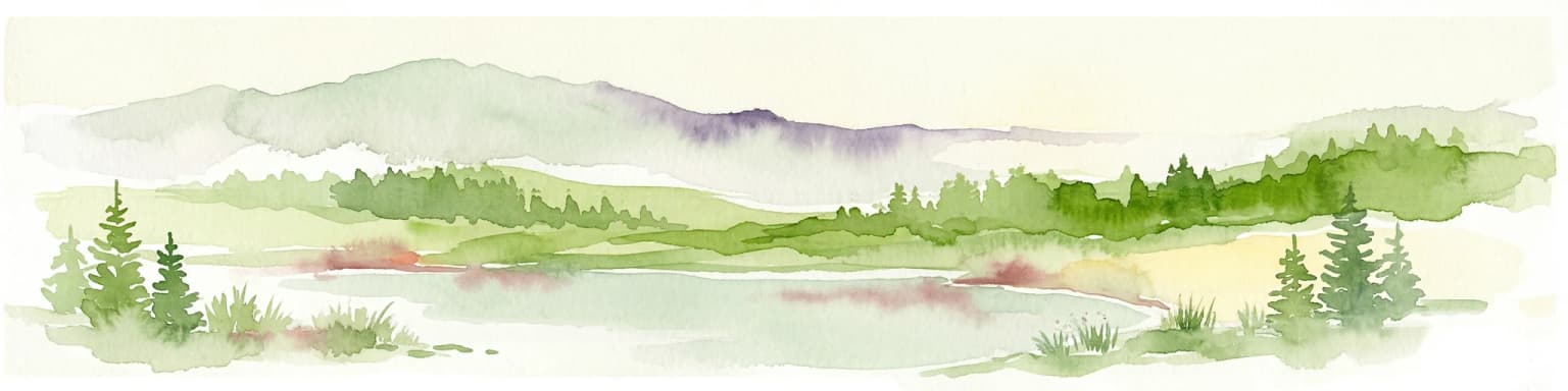
Zacharovanyi Krai National Nature Park landscape and geographic character

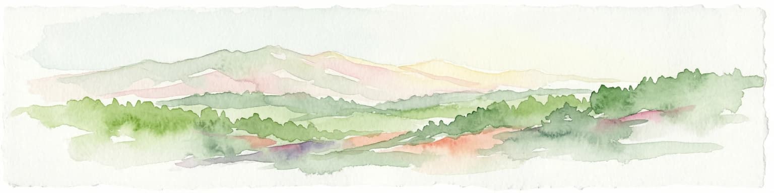
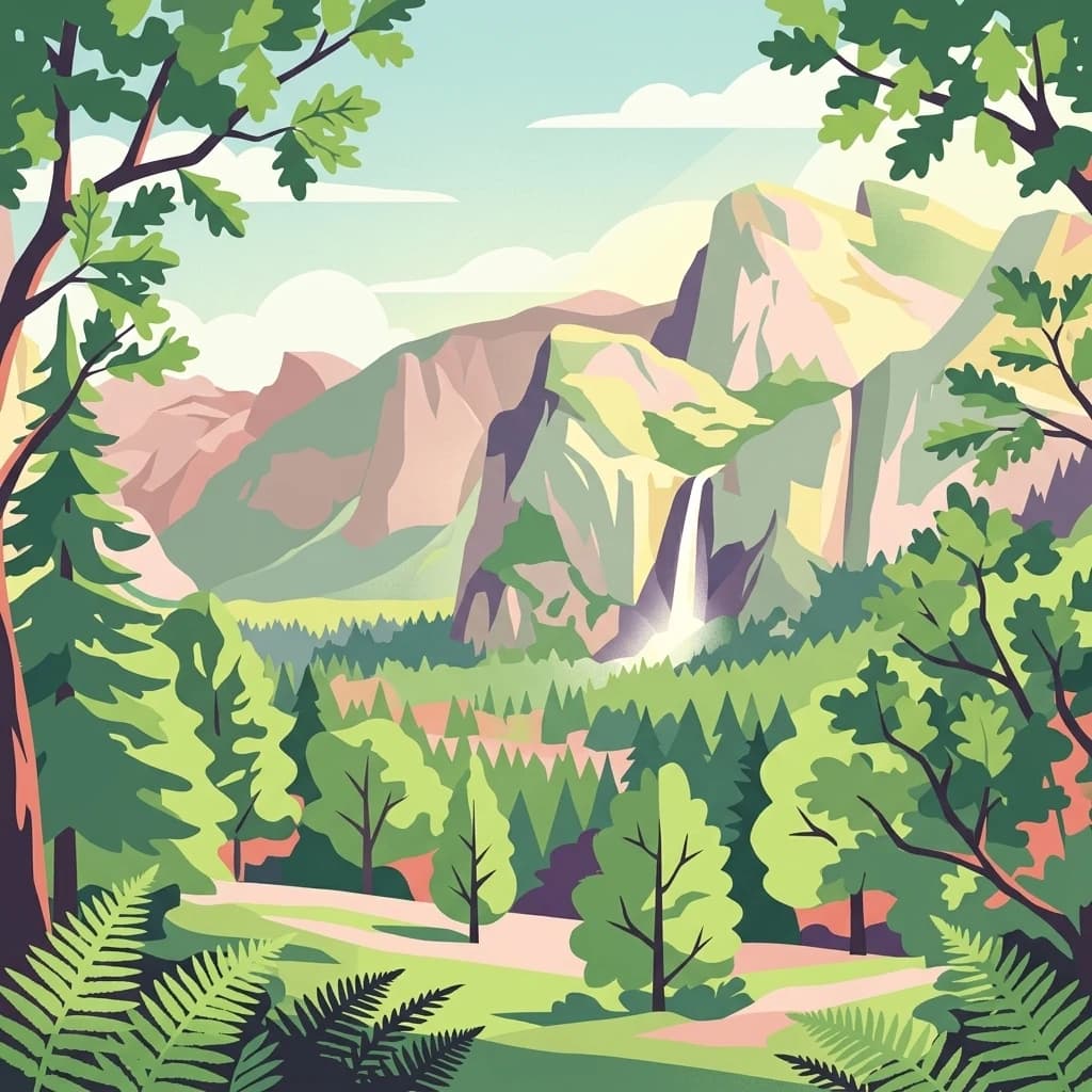
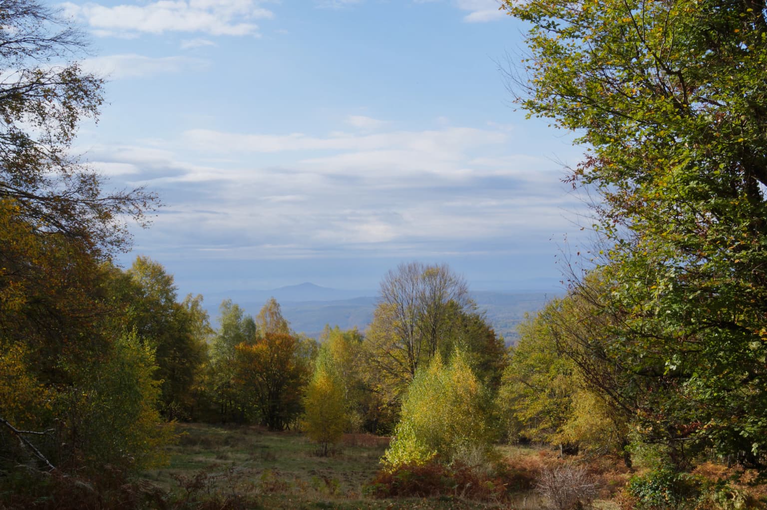
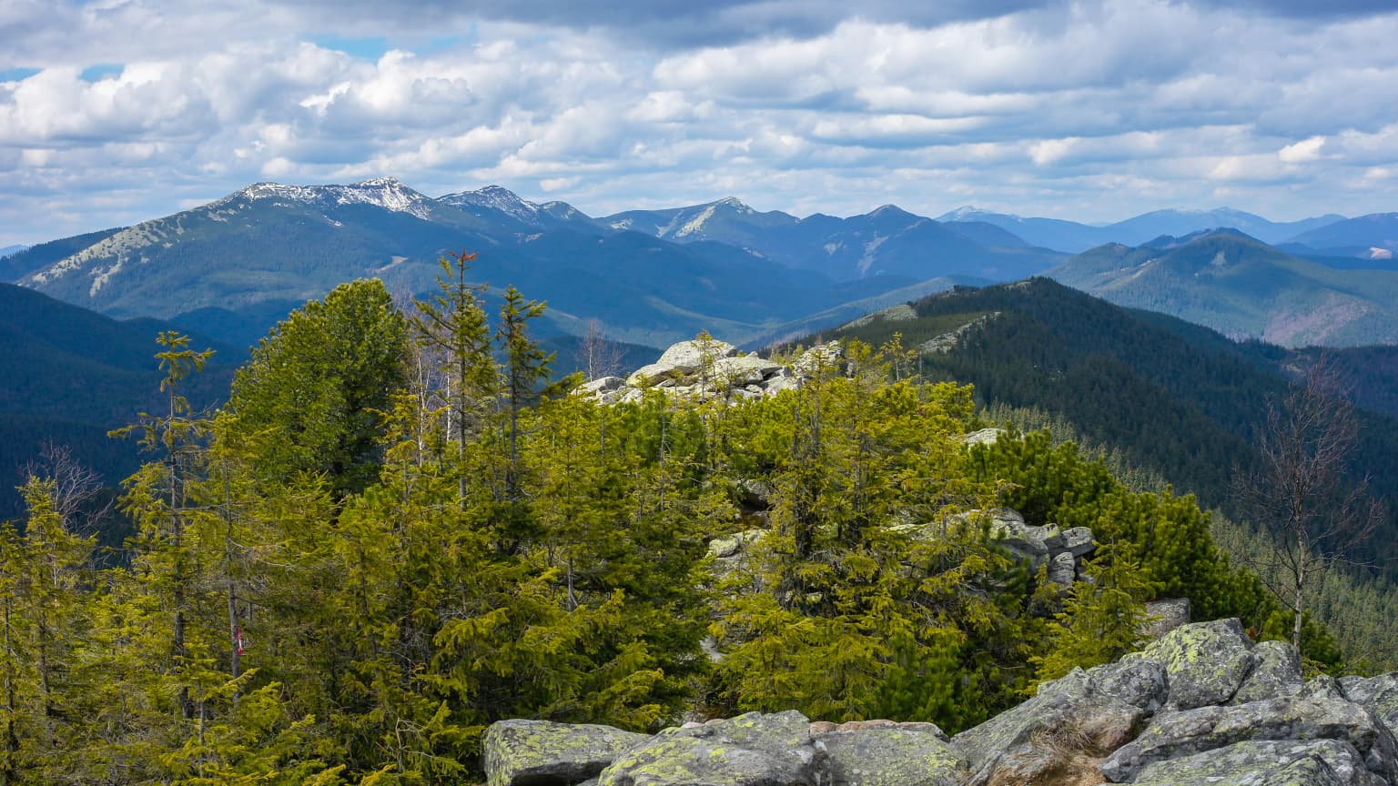
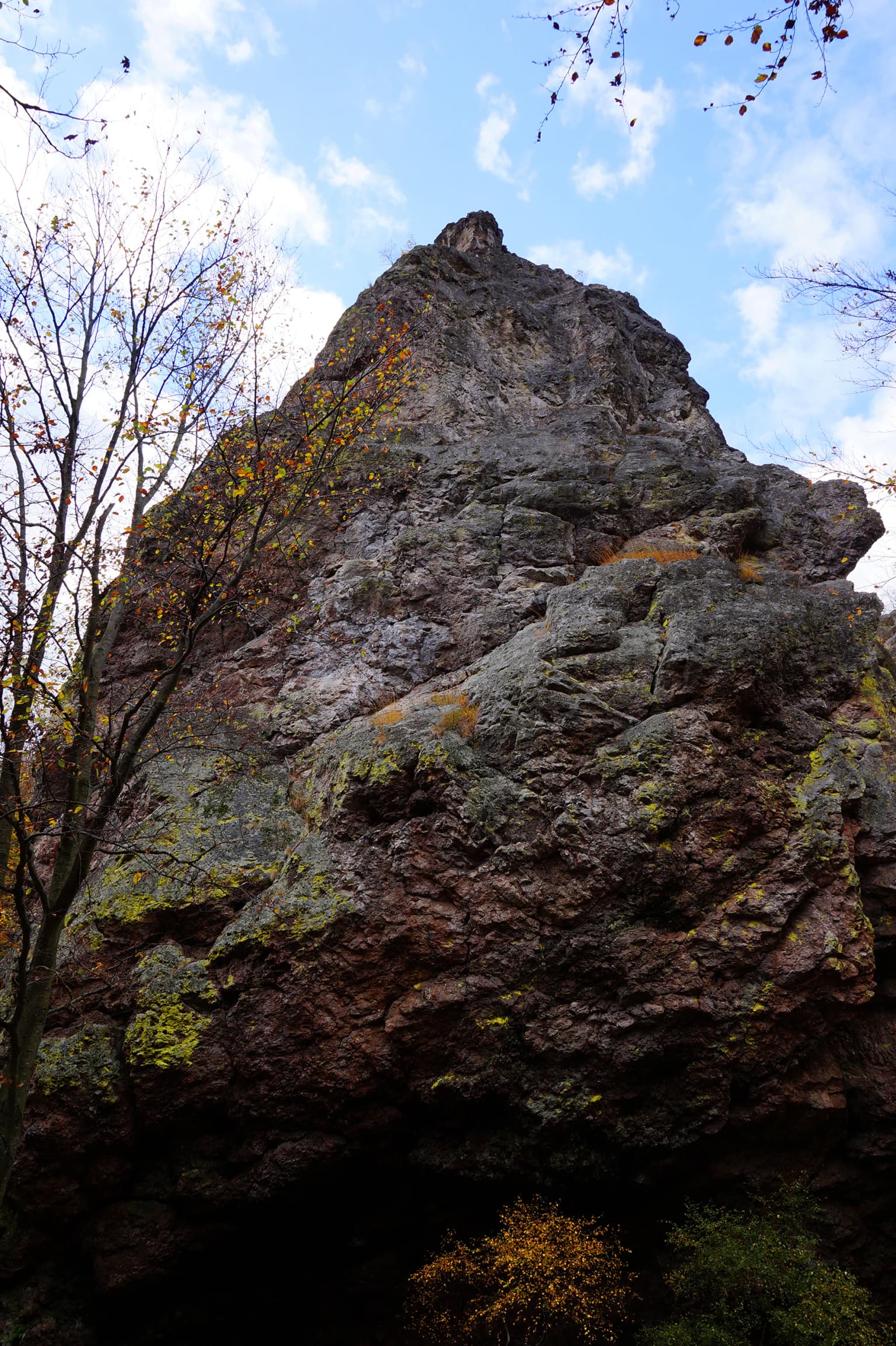
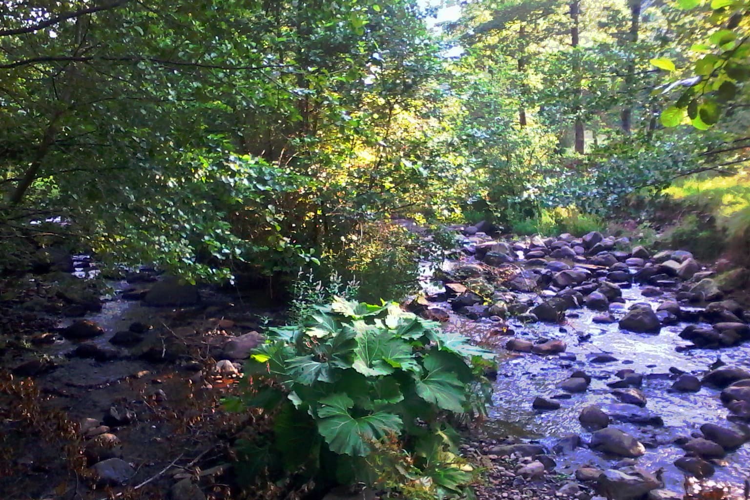
The landscape of Zacharovanyi Krai National Nature Park is characterized by the mountainous terrain typical of the Eastern Carpathians in southwestern Ukraine. The park encompasses forested slopes that rise through various elevation zones, creating a vertical arrangement of habitats that reflects changes in climate and vegetation with increasing altitude. The terrain includes both steep mountainides and more gentle valley areas, with streams and drainage courses that follow the natural topography of the region.

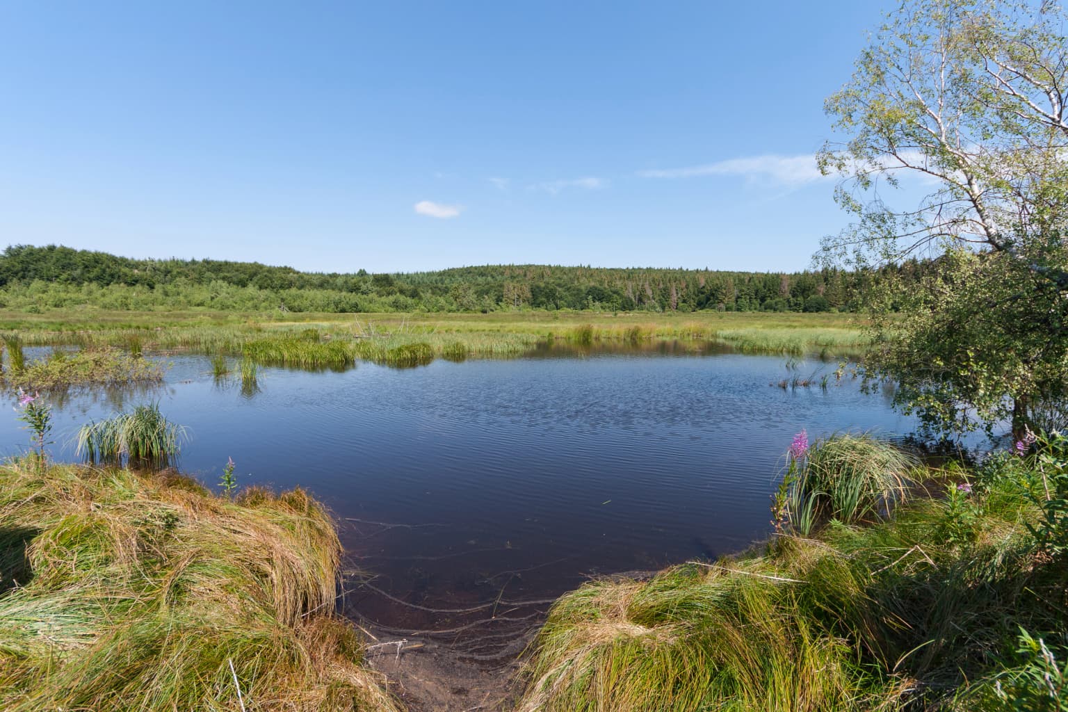
The park contains notable wetland areas, including the Chorne Bahno Swamps, which represent important hydrological features within the broader Carpathian landscape. These wetland areas contrast with the surrounding forested terrain and provide habitat diversity that contributes to the overall ecological richness of the protected area. The combination of mountain forest, subalpine zones, and wetlands creates a landscape of considerable visual and ecological variety.

The surrounding region of Zakarpattia Oblast is known for its dramatic mountain scenery, with the Carpathian range creating a backdrop of forested peaks and valley systems. Within this broader context, Zacharovanyi Krai represents an important protected landscape that maintains the natural character of this mountainous area.

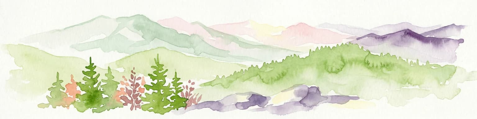
Zacharovanyi Krai National Nature Park ecosystems, habitats, and plant life

The ecological character of Zacharovanyi Krai National Nature Park is defined by its position within the Eastern Carpathians, a mountain range recognized for its high biodiversity and ecological significance. The park contains a variety of habitat types that support diverse plant and animal communities, from forested slopes to wetland areas. The vertical structure of the landscape, with its range of elevations, creates conditions for multiple ecological zones that together support the park's ecological richness.

The forests of the park represent Carpathian vegetation communities adapted to the mountain environment, with species compositions that reflect the park's position within this biogeographical region. The wetland areas, including the Chorne Bahno Swamps, provide important ecological functions including water regulation and habitat for species associated with aquatic and marsh environments. These different habitat types combine to create an ecological mosaic that characterizes the park's natural character.

The broader Carpathian region is recognized as an important ecological zone in Europe, and Zacharovanyi Krai contributes to the conservation of this mountain ecosystem by protecting representative samples of Carpathian nature within its boundaries.

Zacharovanyi Krai National Nature Park wildlife and species highlights

Zacharovanyi Krai National Nature Park supports a notable diversity of wildlife, with the park's varied habitats providing conditions for numerous species across different taxonomic groups. The mammalian fauna includes several species of conservation significance, with the park providing habitat for Carpathian red deer, chamois, brown bear, wild boar, European badger, Eurasian lynx, and European wildcat. These species represent both the typical large mammal community of the Carpathians and species that require significant habitat areas for their survival.

The park's aquatic environments support fish species including trout and grayling, which inhabit the streams and rivers that flow through the protected area. These species depend on clean, well-oxygenated water and represent an important component of the park's biodiversity. The presence of such fish populations also indicates the ecological health of the park's water systems.

The combination of forested habitats, open areas, and wetlands creates conditions that support a range of bird and invertebrate species, contributing to the overall wildlife diversity of the park. The park thus serves as an important refuge for Carpathian wildlife, protecting species populations within a managed protected area framework.

Zacharovanyi Krai National Nature Park conservation status and protection priorities

Zacharovanyi Krai National Nature Park was created to fulfill conservation objectives focused on the preservation of Eastern Carpathian natural complexes. The park's IUCN Category II designation reflects its primary function as a national park, with management aimed at protecting ecological processes and species populations while allowing for sustainable use where compatible with conservation goals. The protected area contributes to Ukraine's commitments to maintaining biodiversity and protecting representative examples of Carpathian ecosystems.

The park's conservation significance is enhanced by its inclusion of varied habitat types that together support diverse species communities. The presence of large mammals including brown bear and lynx indicates the ecological quality of the area, as these species require extensive territories and relatively intact habitats. Conservation of such species within the park contributes to broader Carpathian conservation efforts that span multiple countries.

The creation of Zacharovanyi Krai also reflects recognition of the importance of connecting protected areas within the Carpathian region. By maintaining ecological corridors and protecting representative natural areas, the park contributes to landscape-level conservation that extends beyond its boundaries.

Zacharovanyi Krai National Nature Park cultural meaning and human context

Zacharovanyi Krai National Nature Park is situated in Zakarpattia Oblast, a region with a complex cultural history shaped by its position within the Carpathian mountains and its location at the crossroads of Central and Eastern Europe. The area has historically been associated with pastoral and agricultural activities typical of mountain regions, with local communities maintaining connections to the land that now falls within the park boundaries. The region's cultural heritage reflects the traditions of the people who have inhabited this part of the Carpathians over generations.

The park's headquarters in Irshava reflects the administrative context of the protected area within the broader regional structure of Khust Raion. While the park's primary focus is on nature conservation, the protected area exists within a cultural landscape where human activity and natural systems have interacted over extended periods. The establishment of the park has created a framework for managing these interactions while prioritizing the protection of ecological values.

Top sights and standout views in Zacharovanyi Krai National Nature Park

Zacharovanyi Krai National Nature Park offers protection for some of the most ecologically significant mountain terrain in Ukraine, with landscapes that embody the characteristic beauty of the Eastern Carpathians. The park's diverse wildlife, including populations of brown bear, lynx, chamois, and Carpathian red deer, represents the large mammal fauna for which this mountain region is known. The combination of forested slopes, subalpine environments, and wetland areas creates a habitat mosaic that supports this wildlife while providing visitors with opportunities to experience Carpathian nature. The Chorne Bahno Swamps and Zacharovana Dolyna State Park represent notable features within the park's boundaries, each contributing to the overall ecological diversity and visitor experience. The park's establishment in 2009 reflects Ukraine's ongoing commitment to conserving its natural heritage within the Carpathian mountain system.

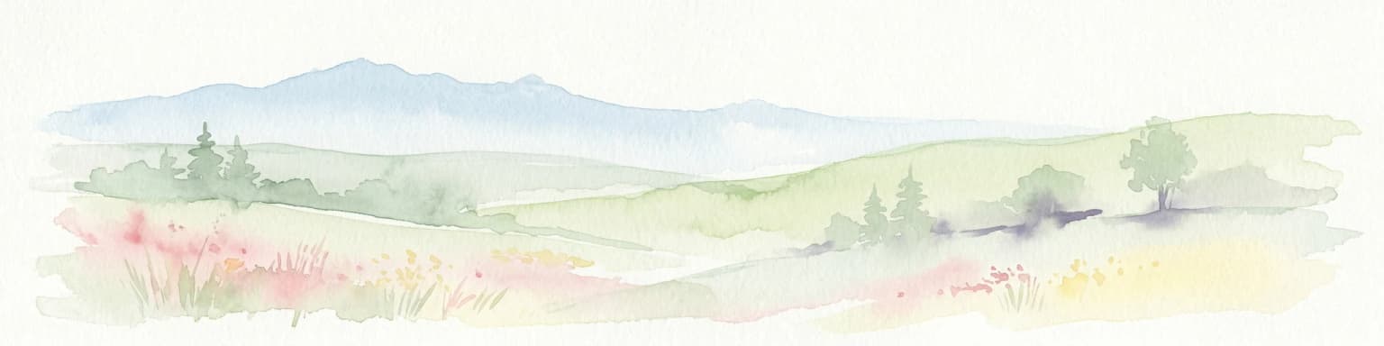
Best time to visit Zacharovanyi Krai National Nature Park

The best time to visit Zacharovanyi Krai National Nature Park depends on the experience sought, with each season offering different characteristics of the Carpathian landscape. The summer months provide the most accessible conditions for exploring the park's trails and observing wildlife, with warm temperatures and long daylight hours allowing for extended outdoor activities. The mountain environment is particularly attractive during this season, with forested areas displaying full foliage and wildlife activity at its peak.

Spring and autumn offer different but equally compelling experiences, with spring bringing renewed vegetation and autumn displaying the characteristic colors of Carpathian forests. These transitional seasons can provide excellent conditions for wildlife observation and landscape photography, though visitors should be prepared for more variable weather. Winter transforms the park into a mountain landscape with snow-covered terrain, though access and conditions may be more challenging during this season. The timing of a visit should consider the specific activities and experiences desired, along with current conditions within the park.

Park location guide

Geography guide, regional context, and park location map for Zacharovanyi Krai National Nature Park

Zacharovanyi Krai National Nature Park park geography, regions, and map view in Ukraine
Understand where Zacharovanyi Krai National Nature Park sits in Ukraine through a broader geographic reading of the surrounding landscape, nearby location context, and its mapped position within the national park landscape.

How Zacharovanyi Krai National Nature Park fits into Ukraine

Ukraine is a sovereign nation in Eastern Europe, bordered by Russia, Belarus, Poland, Slovakia, Hungary, Romania, Moldova, and the Black Sea. It is the second-largest country in Europe by area. Kyiv is the capital and largest city, followed by Kharkiv, Odesa, and Dnipro. The official language is Ukrainian. Ukraine has a population of approximately 32.9 million and operates as a unitary semi-presidential republic.

Wider geography shaping Zacharovanyi Krai National Nature Park in Ukraine

Ukraine occupies 603,628 km² in Eastern Europe, making it the second-largest country in Europe. It shares borders with Russia, Belarus, Poland, Slovakia, Hungary, Romania, and Moldova. The country has a southern coastline along the Black Sea and Sea of Azov. The terrain includes plains, steppes, and the Carpathian Mountains in the west.

Map view of Zacharovanyi Krai National Nature Park

Use this park location map to pinpoint Zacharovanyi Krai National Nature Park in Ukraine, understand its exact geographic position, and read its mapped placement within the surrounding landscape more clearly.

Pigeon | © OpenStreetMap contributors

Location context for Zacharovanyi Krai National Nature Park

Khust RaionZakarpattia Oblast
Park atlas

Trace the regional spread of protected landscapes across the Eastern Carpathians, comparing diverse ecosystems near Zacharovanyi Krai.

Discover Nearby National Parks and Protected Areas Surrounding Zacharovanyi Krai National Nature Park
Explore other national parks and protected areas near Zacharovanyi Krai National Nature Park, mapping their geographic spread across the Eastern Carpathians in Ukraine. Compare diverse mountain ecosystems and conservation landscapes, gaining regional context for the protected-area network that safeguards Carpathian wildlife and biodiversity.
National parkZakarpattia Oblast

Synevyr National Nature Park: National Park Protected Landscape in Zakarpattia Oblast

Mapped geographic context and protected area identity

Delve into Synevyr National Nature Park, a designated national park situated in the diverse geography of Zakarpattia Oblast, Ukraine. This page provides essential atlas-driven context, detailing the park's mapped boundaries and its significance as a protected landscape within the Carpathian region. Understand its unique place in Ukraine's network of natural areas and explore its regional geographic setting for a comprehensive overview.

Area
404 km²
Established
1974
Relief
Mountain
Climate
Temperate
Watercolor illustration of green and purple mountains with pine trees and flowering shrubs in the foreground
National parkLviv Oblast

Boikivshchyna National Nature Park: National Park Protected Landscape Exploration

Lviv Oblast geographic context and mapped terrain

Dive into the protected landscape of Boikivshchyna National Nature Park, a key national park located in Lviv Oblast. MoriAtlas facilitates structured discovery of its mapped boundaries, regional geography, and the unique natural terrain it encompasses. This entry is designed for users interested in the specific park identity, its geographic setting within Ukraine, and detailed atlas-based understanding of protected natural areas.

Area
317 km²
Established
2019
IUCN
II
Relief
Mountain
Watercolor illustration of a mountainous landscape with forests, lakes, and rolling hills under a light sky
National parkUkraine

Uzh National Nature Park: Primeval Beech Forests and Protected Landscape in Ukraine

Explore its mapped boundaries and Carpathian geography.

Uzh National Nature Park, a protected national park in Ukraine's Carpathian Mountains, safeguards a crucial segment of the Primeval Beech Forests of the Carpathians, a UNESCO World Heritage site. This atlas-focused exploration reveals the park's mapped terrain, defined by river valleys and ancient forest ecosystems, offering essential geographic context for this significant protected landscape. Discover the natural heritage preserved within its boundaries, showcasing exceptional biodiversity and the unique character of the Eastern Carpathians.

Area
391.593 km²
Established
1999
IUCN
II
National parkIvano-Frankivsk Oblast

Syniohora National Nature Park: Protected Carpathian Landscape and Geographic Context

Explore the mapped terrain and protected area boundaries within the Gorgany mountains.

Syniohora National Nature Park, located in Ivano-Frankivsk Oblast, is a vital protected area safeguarding a significant portion of the Gorgany mountain massif. This park offers a unique opportunity to explore the mapped geography and natural landscape characteristic of the Ukrainian Carpathians. Its establishment as a national park underscores the importance of preserving the region's mountain terrain, protected forest ecosystems, and distinctive natural heritage for structured geographic discovery.

Area
108.66 km²
Established
2009
IUCN
II
Scope
Terrestrial
National parkUkraine

Skole Beskids National Nature Park: Protected Landscape Atlas and Geographic Context in Ukraine

Explore the mapped boundaries and regional geography of this Ukrainian national park.

Delve into the specifics of Skole Beskids National Nature Park, a designated national park contributing to Ukraine's protected lands. This detail page offers a structured atlas view, focusing on the park's geographic positioning, its mapped natural landscape features, and its significance within the regional context. Understand the core identity of this protected area through detailed geographic and landscape data, enabling focused map exploration.

Area
357 km²
Established
1999
IUCN
II
Relief
Mountain
National parkIvano-Frankivsk Oblast

Carpathian National Nature Park: Protected Landscape Within Ivano-Frankivsk Oblast

National Park mapped boundaries and regional geography.

Carpathian National Nature Park represents a significant protected area within Ivano-Frankivsk Oblast, Ukraine. This page offers detailed insights into its protected landscape identity, helping users understand its geographic setting and mapped boundaries. As part of the Carpathian region, the park serves as a key point for atlas-based discovery, providing context for its place within the broader geography of western Ukraine.

Area
515.7 km²
Established
1980
IUCN
II
Visitors
1M annual
National parkSubcarpathian Voivodeship

Bieszczady National Park: A Protected Landscape of the Eastern Carpathians

Explore mapped terrain, alpine meadows, and old-growth forests.

Discover Bieszczady National Park, a significant national park located in the Subcarpathian Voivodeship of Poland, within the Eastern Carpathian mountain range. This protected area is renowned for its vast expanses of old-growth beech forests, the characteristic połoniny alpine meadows, and its status as a UNESCO World Heritage Site, underscoring its global conservation importance. The park's wild character and dramatic mountain geography make it a key destination for atlas-driven exploration of protected landscapes.

Area
292.02 km²
Established
1973
IUCN
II
Relief
Mountain
Watercolor illustration of a mountainous landscape with rolling hills, a river, and green vegetation
Protected landscapeMaramureș County

Maramureș Mountains Natural Park: Protected Landscape and Carpathian Geography

Explore the mapped boundaries and dramatic terrain of Romania's largest nature park.

Delve into the Maramureș Mountains Natural Park, a protected landscape covering extensive tracts of the northern Carpathian Mountains. This page provides detailed geographic context, showcasing the park's mapped boundaries, diverse alpine terrain, and its role within the broader regional geography of Maramureș County. Understand the natural features and protected area significance of this expansive Carpathian wilderness for structured atlas exploration.

Area
1,488.5 km²
Established
2004
IUCN
V
Relief
Mountain

Common questions about visiting, size, designation, and location context for Zacharovanyi Krai National Nature Park

Zacharovanyi Krai National Nature Park FAQs for park facts, access, geography, and protected area context
Find quick answers about Zacharovanyi Krai National Nature Park, including protected-area facts, park geography, trail and visitor context, and how the park fits into its surrounding country and regional landscape.
MoriAtlas Explorer

Continue Your Protected Areas Search Across the Global Atlas

Deepen your exploration by continuing the structured search for national parks and protected areas worldwide. Utilize the comprehensive filtering capabilities to compare different conservation landscapes and refine your understanding of global park geography. Discover more about the distribution and characteristics of protected natural areas.

Global natural geography