Mori Atlas logo
Park earthquake history

A structured geographic catalogue of seismic records linked to the Beskid mountains landscape

Recorded Historical Earthquake Activity Associated with Żywiecki Park Krajobrazowy

This historical catalogue aggregates recorded seismic events that align with the geographic boundary of Żywiecki Park Krajobrazowy. Each entry provides clear documentation of event timing, measured magnitude, and proximity to the park landscape. The data set maintains a transparent look at regional earthquake records, enabling observation of patterns in seismic activity across the Silesian Voivodeship mountain environment without implying future trends or specific geological hazards.

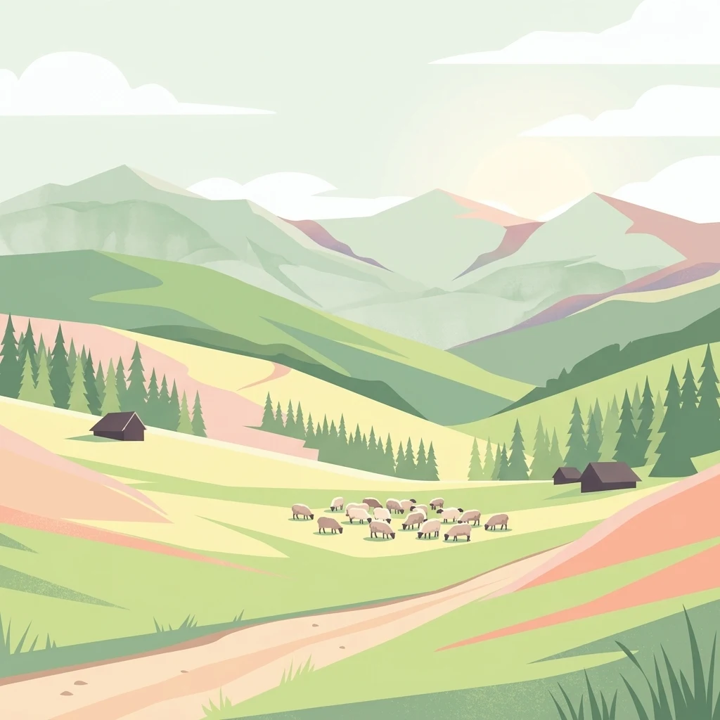
A flat-style digital illustration showing a mountainous landscape with grassy hills, patches of pine forest, small dark cabins, and a flock of white sheep grazing in the valley.

High-mountain protected landscape in the heart of the Beskid Żywiecki range.

Żywiec Landscape Park

Żywiec Landscape Park is a large protected landscape area in the southern part of the Silesian Voivodeship in southern Poland, hugging the Slovak border. It encompasses the highest, deeply dissected ridges of the Beskid Żywiecki mountains, with elevations crossing 1,000 meters across broad sections of the range, including the central Pilsko massif and the Wielka Racza group to the south. The park protects an exceptionally varied mountain environment that blends high-mountain relief, extensive forests, subalpine vegetation on Pilsko, open mountain pastures, rivers with rocky ledges and waterfalls, and a network of strict nature reserves. Since 1998 it has been administered as part of the Complex of Landscape Parks of the Silesian Voivodeship.

Location
Poland
Park type
Protected landscape
Established
1986
Area
358.7 km²
Żywiecki Park Krajobrazowy Protected Area

Search Żywiecki Park Krajobrazowy events by distance

Review mapped earthquake records near Żywiecki Park Krajobrazowy

Żywiecki Park Krajobrazowy spans 358.7 km² of Polish mountains, valleys, dominant forest, lakes, rivers, waterfalls, and caves. Its earthquake search provides event-level historical and spatial evidence without proving that shaking affected these features, indicating current danger, or forecasting later seismic activity.

Sort by
Magnitude
Location

This page describes catalogued earthquakes associated with the park by epicentre location and distance. It does not establish causation, assess current danger, or predict future earthquakes.

No earthquake records match the current filters

Park atlas

Continue beyond Żywiecki Park Krajobrazowy earthquake observations

Explore other protected areas after Żywiecki Park Krajobrazowy

Following the Żywiecki Park Krajobrazowy earthquake observations, explore a stand-alone group of protected areas. These recommendations do not signal shared mountain or forest landscapes, landscape-park standing, ecology, geology, seismic experience, closeness, hazard levels, risk, or equivalent documentation depth.
Nature reserveWojewództwo śląskie
Mapped location lies within the park boundary#1 closest

Southwest

Rezerwat przyrody Muńcoł: Protected Beech Forest and Mountain Landscape in Poland

Floristic nature reserve in the Beskid Żywiecki region

Spanning over 45 hectares, Rezerwat przyrody Muńcoł protects a rare Carpathian beech forest community on the eastern slopes of the Kotarz massifs. This reserve acts as a core area for submontane botanical research and provides an essential look at the montane forest dynamics found across the Województwo śląskie province of Poland.

Area
0.452 km²
Established
1998
Relief
Mountain
Scope
Terrestrial
A horizontal watercolor painting depicting soft, layered green hills and purple-toned mountain ridges in the distance, with a foreground of stylized evergreen trees.
Protected landscapeSilesian Voivodeship
3.2 km away#2 closest

Northwest

Park Krajobrazowy Beskidu Śląskiego: Geographic Atlas of Protected Silesian Beskid Landscapes

Mapped mountain ridges, river headwaters, and protected forest reserves.

Gain insight into the ecological and structural character of Park Krajobrazowy Beskidu Śląskiego. This resource documents the park's flysch geological formations, rare cave systems, and the hydrological significance of the Vistula River headwaters within the Silesian Beskids.

Area
386.2 km²
Established
1998
Relief
Mountain
Climate
Alpine
Watercolor painting of rolling green hills and distant forested mountains under a light sky
National parkLesser Poland Voivodeship
7.7 km away#3 closest

East

Babia Góra National Park: Carpathian National Park with Mapped Terrain and Unique Flora

Explore protected landscapes and regional geography in Lesser Poland Voivodeship.

Babia Góra National Park, a significant protected area in Poland's Carpathian Mountains, offers a distinct atlas exploration experience. Its landscape is defined by the prominent Babia Góra massif, featuring complete altitudinal vegetation zones, rare endemic plant species, and notable terrain characteristics. As a UNESCO biosphere reserve, it provides valuable insights into Carpathian ecosystems and regional geographic context, making it a key destination for structured discovery of protected lands and natural landscapes.

Area
33.92 km²
Established
1954
IUCN
II
Visitors
81K annual
Watercolor painting of a green, rolling mountain range and hills set against a white background.
National parkLesser Poland Voivodeship
7.7 km away#4 closest

East

Babiogórski Park Narodowy: Geographic Overview and Protected Carpathian Mountain Terrain

Mapping alpine vegetation zones in the Lesser Poland Voivodeship

Babiogórski Park Narodowy encompasses the massif of Babia Góra, offering a complex mountain landscape that transitions from beech-fir forests to true alpine summit zones. Recognized for its clear vertical vegetation layering, this protected area holds significant ecological importance within the Western Carpathians and serves as a major landmark for studying high-altitude terrain in southern Poland.

Area
33.92 km²
Established
1954
Visitors
81K annual
Relief
Mountain
Watercolor painting showing layered mountains and green forests
National parkSlovakia
15 km away#5 closest

South

Malá Fatra National Park National Park: Geographic Context and Protected Area Mapping

Explore the mapped terrain and regional geography.

Malá Fatra National Park serves as a cornerstone for understanding Slovakia's protected landscapes. This dedicated park page provides crucial geographic context, detailing its national park designation and the extent of its protected area boundaries. Users can leverage MoriAtlas to visualize the park's location within the broader regional geography, facilitating a structured approach to discovering its natural landscape and terrain through map-based exploration.

Area
226.3 km²
Established
1988
IUCN
II
Relief
Mountain
A horizontal watercolor illustration depicting rolling, soft green mountains under a pale pink sky, with simple plant motifs in the foreground.
Protected landscapeSilesian Voivodeship
19 km away#6 closest

North

Park Krajobrazowy Beskidu Małego: Geographic Overview and Protected Mountain Landscape

Twin ridges and sandstone terrain in the western Carpathians

Trace the geography of Park Krajobrazowy Beskidu Małego, a protected landscape in southern Poland covering 257 square kilometers of the Little Beskids. This detailed atlas entry provides insights into the park's twin-ridged structure, sandstone bedrocks, and the ecological significance of its nature reserves and valley corridors located within the Silesian Voivodeship.

Area
257.7 km²
Established
1998
Relief
Mountain
Climate
Temperate
A watercolor painting showing a rolling landscape with distant mountains, soft green and pink trees, and gentle hills on a plain white background.
Protected landscapeBielsko-Biała
About 19 km away#7 closest

Northwest

Cygański Las Protected Landscape: Mapped Geography and Foothill Forest in Bielsko-Biała

An expansive 593-hectare woodland corridor in the Silesian Beskids.

Cygański Las functions as a formal protected landscape complex, preserving diverse forest communities from fertile beech stands to mountain sycamore on the slopes of Bielsko-Biała. This terrain serves as the essential southern trailhead for the Silesian Beskids, connecting the urban fabric of the city with the rugged elevations of Szyndzielnia, Klimczok, and Magurka Wilkowicka through a network of historic trails.

Area
5.93 km²
Established
1997
Relief
Mountain
Climate
Temperate
A horizontal watercolor painting depicting a soft green landscape with rolling hills, distant light purple mountain ridges, and a central water feature, rendered in a light, atmospheric style.
Protected landscapeSilesian Voivodeship
About 22 km away#8 closest

Northwest

Dolina Wapienicy: Protected Landscape and Carpathian Mountain Valley in Silesian Voivodeship

Mapped terrain, forest ecosystems, and ridge geography

Dolina Wapienicy acts as a protected landscape complex within the urban-adjacent geography of the northern Silesian Beskids. The area encompasses mature Carpathian beech forests and rare upper montane spruce stands, organized around the Wapienica River and the Mościcki Dam reservoir. It remains a focal point for understanding how mountain valley systems maintain biodiversity and near-natural wilderness characteristics in close proximity to major urban settlements.

Area
15.19 km²
Established
1993
Relief
Mountain
Climate
Temperate
MoriAtlas Explorer

Continue Exploring the Geographic Details of Żywiecki Park Krajobrazowy

Deepen your understanding of the Beskid mountains by investigating the mapped terrain and natural features of Żywiecki Park Krajobrazowy. Use the MoriAtlas dataset to trace the protected boundaries and complex ridge lines that define this unique mountain landscape within the southern Silesian Voivodeship.