
Mori Atlas logo
Countries

Browse Dominica's mapped protected landscapes and discover its unique volcanic terrain.

Dominica National Parks and Protected Areas: A Geographic Atlas Overview

Dominica, a Caribbean island nation renowned for its rugged volcanic terrain and lush rainforests, offers a rich tapestry of protected natural areas. MoriAtlas provides a structured geographic entry point to explore these vital landscapes, featuring mapped park boundaries, regional terrain context, and the distribution of Dominica's protected lands. Understand the island's conservation geography and navigate its diverse natural heritage through this atlas-focused explorer.

Dominica National Parks and Protected Areas: A Geographic Atlas Overview
Park system

Analyzing the Dominica Park System and Protected Landscape Data

Evaluating conservation scale, establishment history, and diverse tropical habitat distributions.

Calculated metrics from known records reveal the geographic framework of the island's reserves by compiling documented conservation area, median park size, and establishment history. Environmental profiles help researchers compare how tropical habitats, volcanic climates, and coastal designations distribute across regional protection zones.

Known protected area

107 km²

Area data available for 3 of 3 parks.

Median park size

33.4 km²

Median across 3 parks with known area.

Oldest known park

Established in 1975.

Largest known park

Recorded area: 68.6 km².

Designation distribution

National park3

Habitat distribution

Tropical forest3
Wetland2
Coastal habitat1
Marine habitat1
Montane forest1

2 more categories represented

Climate distribution

Tropical3
About

Explore the Mapped Geography of Dominica's Mountainous Rainforests and Volcanic Protected Areas

Discover Dominica National Parks: Atlas of Protected Areas and Conservation Landscapes

Browse the national parks and protected areas of Dominica, a prominent Caribbean island renowned for its dense mountainous rainforests and unique geothermal features. Explore the geographic distribution of these crucial conservation landscapes, tracing the volcanic terrain and significant natural heritage across the island nation.

Dominica is an island nation in the Caribbean Sea, part of the Lesser Antilles. It achieved independence from Britain in 1978 and is renowned for its mountainous rainforests, geothermal-volcanic activity, and the Boiling Lake hot spring. The capital is Roseau.

Dominica, officially the Commonwealth of Dominica, is an island country in the Caribbean. Located in the Windward Islands chain of the Lesser Antilles, it lies between Guadeloupe to the northwest and Martinique to the southeast. The island is known for its natural environment, earning it the nickname "Nature Island of the Caribbean." It features lush mountainous rainforests, volcanic terrain including Morne Diablotins at 1,448m, and the Boiling Lake, one of the world's largest hot springs. The population was approximately 72,000 in 2021.

Largest city:Roseau
Currency code:XCD
ISO code:DM
Parks count
3
Capital
Roseau
Area
750 km²
Population
72,412 (2,021)
Elevation
1,447 m

Coastal
Island
Mountainous
Landlocked
Park atlas3 parks

Browse the island's unique volcanic landscapes and rainforests, tracing its network of conservation zones and world heritage sites.

Discover National Parks and Protected Areas in Dominica, the Nature Isle of the Caribbean

Explore Dominica's national parks and designated protected areas, covering its dramatic volcanic terrain, lush tropical rainforests, and unique geothermal features like Boiling Lake. Utilize this country-level atlas to trace the geographical spread of conservation efforts, compare park types, and navigate detailed information for each protected landscape across the island.
National parkDominica

Morne Trois Pitons National Park: Dominica's Volcanic Protected Area Atlas

Explore its unique geothermal terrain and mapped natural boundaries.

Morne Trois Pitons National Park represents a core protected area within Dominica, renowned for its dramatic volcanic landscapes and rich geothermal activity. This national park features steep volcanic cones, deep canyons, and diverse terrain shaped by intense geological forces. The park's mapped boundaries encompass unique natural wonders, offering a focused study of volcanic geography and protected ecosystems. Discover the contours of this significant Caribbean landscape and its inherent natural value.

Area
68.57 km²
Established
1975
IUCN
II
Relief
Mountain
National parkDominica

Cabrits National Park: Protected Landscape and Geographic Context in Dominica

Explore Dominica's volcanic terrain and mapped protected areas.

Delve into the protected landscape of Cabrits National Park, a key component of Dominica's natural heritage. This entry provides an atlas-focused view of the park, detailing its geographic setting and mapped boundaries within the island nation. Understand how Cabrits National Park contributes to the regional geography of the Lesser Antilles and appreciate its significance as a protected natural area for structured discovery.

Area
5.3 km²
Established
1986
IUCN
II
Relief
Upland
National parkDominica

Morne Diablotin National Park: Dominica National Park Geographic Atlas Exploration

Mapped protected areas and regional landscape context.

Morne Diablotin National Park serves as a vital national park within Dominica, offering specific insights into its protected terrain and geographic setting. Explore its mapped boundaries and understand its role as a distinct natural landscape within the island's atlas, providing focused discovery for those interested in protected areas and their regional context.

Area
33.35 km²
Established
2000
Relief
Mountain
Climate
Tropical
Landscape and environment

Understand how Dominica is shaped by terrain, ecosystems, and seasonal conditions

Dominica geography, nature, climate, and landscape context for park-focused travel research

Explore the physical geography, natural setting, and climate patterns of Dominica through a location-first overview built for travel research, national park discovery, and broader regional context. This section helps explain how landscapes, habitats, and environmental conditions shape what people search for, where they travel, and how they experience protected areas in Dominica.

Dominica geography and landscape

Dominica is situated in the Caribbean Sea, part of the Windward Islands in the Lesser Antilles archipelago. The island lies between Guadeloupe to the northwest and Martinique to the southeast. It has mountainous terrain with the highest point being Morne Diablotins at 1,448 meters.

Dominica nature and environment

Dominica features lush mountainous rainforests and volcanic landscapes. It is home to many rare plants, animals, and bird species, including the critically endangered sisserou parrot, the national bird. The island's geothermal-volcanic activity produces the Boiling Lake, one of the world's largest hot springs.

Dominica climate and seasonal conditions

Dominica has a tropical climate with heavy rainfall occurring inland, while some western coastal regions experience drier conditions.

Explore this place

Related topics and popular queries

Ways to explore Dominica

Useful phrases, related topics, and discovery prompts connected to Dominica.
where is Dominica locatedwhat is Dominica known forDominica Caribbean geographynature in DominicaDominica island factsDominica island countryCaribbean nature islandRoseau capitalLesser Antilles islandsDominica RainforestBoiling Lake Dominica
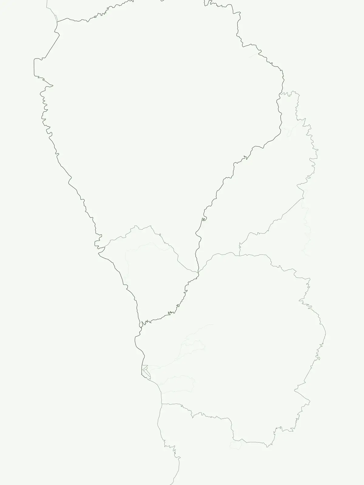
Park map

Visualize the Geographic Spread of Dominica's Mountainous Rainforests and Volcanic Protected Landscapes

Map of Dominica's National Parks and Protected Areas: Locate Island Conservation

Preview where Dominica's national parks and protected areas are geographically distributed, showcasing important rainforests, geothermal zones, and conservation sites. Continue to the dedicated country map to trace precise locations, understand spatial relationships, and explore a comprehensive atlas of the island's natural heritage.

Key insights into Dominica's distinct protected area geography and island-wide park distribution.

Frequently Asked Questions: National Parks and Protected Areas of Dominica

Explore frequently asked questions about Dominica's national parks and protected areas, covering its unique volcanic landscapes and extensive tropical rainforests. Gain a deeper understanding of the island's rich park geography and critical conservation efforts, providing valuable context for your geographic discovery.
Other countries

Compare national park geography and protected area distribution across the wider Caribbean region.

Discover National Parks in Countries Near Dominica, Explore More Caribbean Protected Areas

After exploring Dominica's volcanic rainforests and Morne Trois Pitons National Park, continue your journey across the Caribbean. Our comprehensive atlas allows you to browse national parks and protected areas in neighboring island nations and across the broader region, comparing diverse tropical landscapes and conservation efforts.

Haiti National Parks and Protected Areas: Explore Mapped Landscapes and Regional Geography

Access a structured view of Haiti's national parks and protected areas, emphasizing their geographic distribution and landscape context. This entry point facilitates exploration of mapped terrain and understanding the regional spread of conservation efforts across the island nation. Understand the foundational geography of Haiti's natural reserves and navigate to detailed park information for a comprehensive atlas experience.

15 parks

Dominican Republic National Parks and Protected Areas: An Atlas of Mapped Landscapes

Navigate the Dominican Republic's protected natural areas with this geography-focused atlas. Explore individual park boundaries and understand their placement within the broader landscape context of Hispaniola island. This resource provides a structured view of the nation's conservation lands, ideal for geographic and atlas-based discovery.

11 parks

Puerto Rico National Parks and Protected Areas: Regional Geography and Atlas Explorer

Explore the structured dataset of Puerto Rico protected areas, ranging from mountain and elfin forests to unique karst landscapes and coastal watersheds. Access detailed information on state forest boundaries and regional geographic distribution throughout the archipelago.

10 parks

Antigua and Barbuda National Parks and Protected Areas: Geographic Discovery

Uncover the protected natural areas of Antigua and Barbuda through a structured geographic lens. This resource facilitates discovery of the nation's national parks and conservation landscapes, detailing their mapped boundaries and regional context. Understand how these protected lands contribute to the unique geography of the Caribbean nation, offering insights into their distribution and natural terrain. It serves as a vital atlas entry point for exploring the conservation geography of Antigua and Barbuda.

3 parks

Aruba National Parks and Protected Areas: A Comprehensive Geographic Atlas Entry

Access a structured inventory of protected lands across Aruba, including national parks and marine reserves. This resource highlights the geographic distribution, natural terrain characteristics, and park boundaries that define the island's conservation landscape, providing a clear reference for researchers and geographic enthusiasts alike.

2 parks

Sint Maarten National Parks and Regional Protected Area Geography

Trace the environmental geography of Sint Maarten by investigating its network of protected areas and marine parks. Access precise mapping data and site-specific records for natural landscapes across the island territory, including essential coral reef and seagrass meadow habitats.

1 park

Caribbean Netherlands National Parks, Protected Landscapes, and Regional Geography

Access a structured overview of protected lands across the Caribbean Netherlands. This resource provides geographic data on national parks and natural wilderness areas, facilitating the study of island environments from Bonaire to Saba and Sint Eustatius.

1 park

Curacao National Parks and Protected Areas: Mapped Landscapes and Geography

Explore the curated geography of Curacao's national parks and protected lands. This atlas view details the distribution of conservation areas and natural landscapes, offering a structured approach to understanding the island nation's unique terrain and protected regions. Navigate Curacao's significant protected areas and gain geographic context for its natural heritage.

1 park

Protected area types

Continue Exploring Dominica's Protected Area Classifications and Geographic Context

Deepen your geographic understanding by continuing into the detailed classification pathways for Dominica's protected areas. This exploration reveals how different designation types, such as national parks and nature reserves, shape the island's conservation landscape and offer unique mapped contexts for further discovery and analysis of its natural terrain.

Dominica Protected Area Designations
MoriAtlas Explorer

Continue Your Global Geographic Exploration with MoriAtlas Park Discovery

Dive deeper into the world's protected landscapes and national parks through MoriAtlas's structured atlas interface. Discover how continents and countries are organized, and how individual park geography fits into the broader map. Our platform is built for understanding the distribution and context of protected areas worldwide, facilitating your journey through global natural geography.

Global natural geography






