Mori Atlas logo
Mediterranean climate127 represented parks25 countries

Interpreting how long-term climatic patterns shape seasonal water, vegetation, and terrain

Mediterranean climate national parks and protected landscapes: A global atlas of environmental character

Mediterranean climate conditions define the seasonal character, ecology, and water availability within protected areas across diverse global regions. This framework helps connect broad atmospheric patterns with visible landscape features, such as vegetation structure and river flow. By examining these zones, observers can better understand the environmental history and ecological adaptations that persist from coastal regions to mountainous terrain.

Related tags

mediterranean climate parkspark climateclimate zonesprotected landscapes
Climate-zone profile

Tracing long-term precipitation, seasonal drought, and global protected area distribution

Climatic framework of Mediterranean climate national parks and protected landscapes

Mediterranean climate zones feature mild wet winters and warm dry summers that shape resilient, drought-adapted wildlands across several geographic regions. Evaluating broad atmospheric cycles provides essential context for observing local habitat variations caused by coastal winds and elevation changes.

Climate-zone definition

Mediterranean climate describes mild wet winters and hot or warm dry summers that create distinctive fire- and drought-adapted landscapes. It is a broad park-scale category rather than a precise site forecast or a substitute for local climate records.

Here, mediterranean climate identifies the broad climatic setting most helpful for understanding a park's ecology and seasonality. It is separate from habitat: one climate zone may support forests, wetlands, grasslands, or bare terrain depending on moisture, substrate, elevation, and disturbance.

The category should therefore support comparison and interpretation while preserving uncertainty wherever park-scale evidence is incomplete or transitional.

Global distribution

The zone occurs across the Mediterranean Basin, California, central Chile, southwestern Australia, and South Africa's Cape region. Its park distribution follows both latitude and elevation.

Protected areas represent only part of the zone and are unevenly distributed between countries and ecosystems. Atlas comparisons should therefore describe geographic patterns without treating the park list as a complete measure of the climate zone's global area or conservation coverage.

The park examples consequently represent a climatic pattern expressed through geography, not a continuous or perfectly mapped global belt.

Observable park conditions

Summer dryness, fire restrictions, low rivers, winter storms, and spring blooms create strong contrasts. Conditions within one park may differ sharply between valleys, slopes, coasts, and summits.

Conditions also vary internally: exposed ridges, sheltered valleys, water bodies, coasts, and different elevations can experience contrasting temperatures and moisture on the same day. The zone is most useful for anticipating broad seasonal character and interpreting why access patterns recur.

Long-term climate context is valuable for planning expectations, but current official information remains essential for any practical decision.

Temperature, moisture, and seasonality

How alternating wet and dry seasons shape hydrology, fire cycles, and terrain weathering

Seasonal Climate Patterns in Mediterranean Climate National Parks and Protected Landscapes

Mediterranean climate national parks and protected landscapes feature mild, wet winters and dry summers that establish highly seasonal environmental rhythms. Fluctuations in seasonal moisture and temperature directly shape local hydrology, weathering rates, and the recurring wildfire regimes that define these dynamic terrains.
  1. 01

    Temperature pattern

    Winter temperatures are generally mild while summers are warm to hot, with coastal moderation and cooler mountains. Terrain, latitude, continental position, and nearby oceans can produce important local departures.

    The annual range must be read together with daily extremes and the timing of warm and cold periods. Maritime air can soften seasonal contrasts, continental interiors can amplify them, and cold-air drainage or exposed ridges can create local conditions unlike those suggested by a park-wide average.

    These temperature controls connect climate directly to observable boundaries such as treelines, persistent snow, seasonal water, and vegetation productivity.

  2. 02

    Precipitation pattern

    Most rain falls in the cool season and summers are predictably dry, though year-to-year totals can vary strongly. The form and timing of moisture often matter as much as the annual total.

    Water availability reflects precipitation timing together with evaporation, snow storage, soil infiltration, and runoff. A park may receive substantial moisture yet experience seasonal stress, while snowpack or groundwater can sustain streams and wetlands long after the main precipitation period has ended.

    Comparing timing, form, and effective moisture produces a more accurate ecological picture than comparing annual rainfall totals alone.

  3. 03

    Seasonal cycle

    Winter growth, spring flowering, summer drought and fire, and autumn rain define the ecological calendar. This timing controls growth, wildlife activity, water, snow, fire, and landscape visibility.

    Seasonality synchronizes many park processes: water becomes available, plants grow or enter dormancy, animals breed or migrate, and visitor access expands or contracts. Climate change can alter this timing before a complete change in the park's broad climate-zone label becomes apparent.

    This temporal pattern is central to understanding when park landscapes are productive, accessible, stressed, or undergoing rapid visible change.

  4. 04

    Landscape effects

    Common landscape expressions include rocky coasts, shrublands, open woodland, dry mountains, seasonal rivers, and limestone terrain. Climate works with geology and water, so similar zones can still produce very different scenery.

    The landscape expression of Mediterranean climate is therefore best understood through active processes rather than a checklist of scenery. Water balance, temperature thresholds, wind exposure, and seasonal disturbance continually reshape slopes, channels, soils, shorelines, and vegetation mosaics.

    Separating climatic influence from geological inheritance keeps the explanation accurate while still showing how the two interact.

Ecological effects and adaptation

How seasonal drought, winter moisture, and fire cycles shape diverse habitats and species survival

Mediterranean climate national parks and protected landscapes: habitat adaptations

Prolonged dry summers and seasonal moisture variations constrain regional plant growth while driving distinct fire cycles across vulnerable ecological zones. Visitors can observe diverse survival strategies like deep roots and nocturnal activity in habitats ranging from sclerophyll forests to dry shrublands.

Typical habitats

Common habitats include sclerophyll forest, maquis or chaparral shrubland, grassland, coastal habitat, and seasonal wetland. Not every park contains all of them, and elevation can place several climate-linked habitats close together.

The habitat list describes likely ecological expressions of mediterranean climate, not synonyms for the climate itself. Wetlands and dry slopes, closed forest and open ground, or lowland and alpine communities may coexist where terrain redistributes water, warmth, and exposure.

This distinction allows climate and habitat pages to complement one another instead of presenting duplicate classifications.

Vegetation adaptations

Typical plant responses include small tough leaves, deep roots, summer dormancy, resprouting, seed banks, and aromatic or waxy foliage. These strategies balance temperature, water, wind, light, and the length of the growing season.

Adaptation is visible at several scales, from leaf texture and root depth to canopy height, dormancy, flowering time, and post-fire regeneration. Local species also respond to soils and competition, so similar climates can support structurally different vegetation in different biogeographic regions.

Observing which strategies dominate can reveal both the prevailing climatic constraints and early signs that those constraints are shifting.

Wildlife adaptations

Wildlife strategies often include nocturnal activity, seasonal breeding, use of shade and water refuges, migration, and drought tolerance. Species respond to seasonal resources rather than to the climate label alone.

Wildlife experiences climate indirectly through water, vegetation, prey, snow, fire, and access to refuges. Two species in the same mediterranean climate park may therefore respond very differently, depending on mobility, life cycle, thermal tolerance, and reliance on specialized habitats.

Access to connected refuges and seasonal movement corridors often determines whether these responses remain possible as conditions change.

Climate-related pressures

Important climate-related pressures include hotter droughts, severe fire, water stress, invasive species, erosion, and changing rainfall reliability. Effects vary by ecosystem and should be evaluated with local monitoring rather than assumed from the zone alone.

A climate-zone label identifies plausible pressures but cannot establish their severity at a particular park. Useful assessment requires local temperature and precipitation records, hydrological and ecological monitoring, and evidence of how key species, habitats, or physical processes are responding.

Presenting both the likely mechanism and the need for local evidence avoids turning broad climate concern into unsupported park-specific claims.

Global park examples

Representative examples include Cabañeros, Sierra Nevada, Table Mountain, and Pinnacles national parks. They demonstrate geographic variety within the zone rather than a ranking of destinations.

Together, these parks illustrate how a shared climatic framework can produce different landscapes when combined with local geology, elevation, hydrology, and biogeographic history. They are starting points for comparison rather than a definitive inventory of all protected areas in the zone.

Future additions should broaden regional representation while keeping the relationship between each park and the climate category explicit.

Representative parks

Compare regional ecosystems, seasonal moisture patterns, and elevation-driven habitats.

Browse Mediterranean climate national parks and protected landscapes

Many protected areas around the world share the broad pattern of mild wet winters and warm dry summers that shapes drought-adapted habitats. Comparing individual park records illustrates how local elevations, coastal exposures, and distinct microclimates prevent uniform conditions within any single zone.
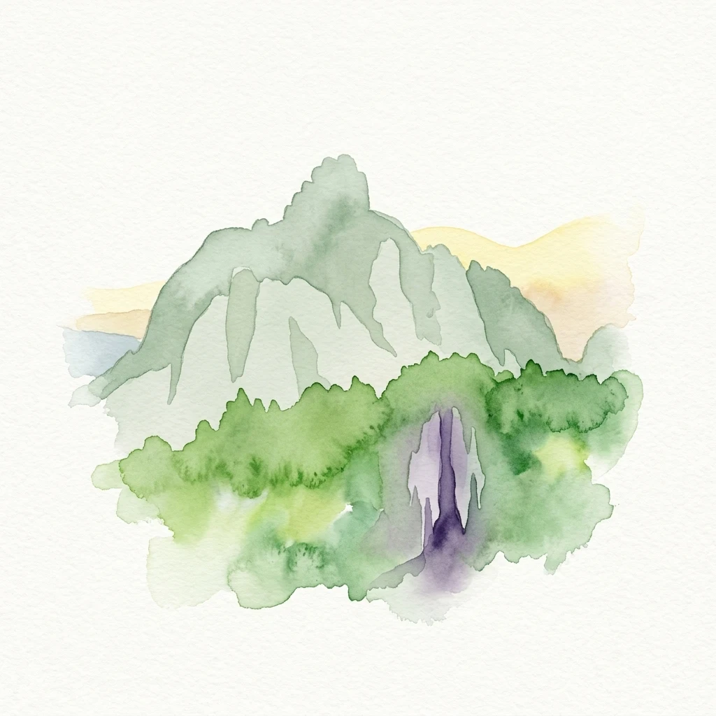
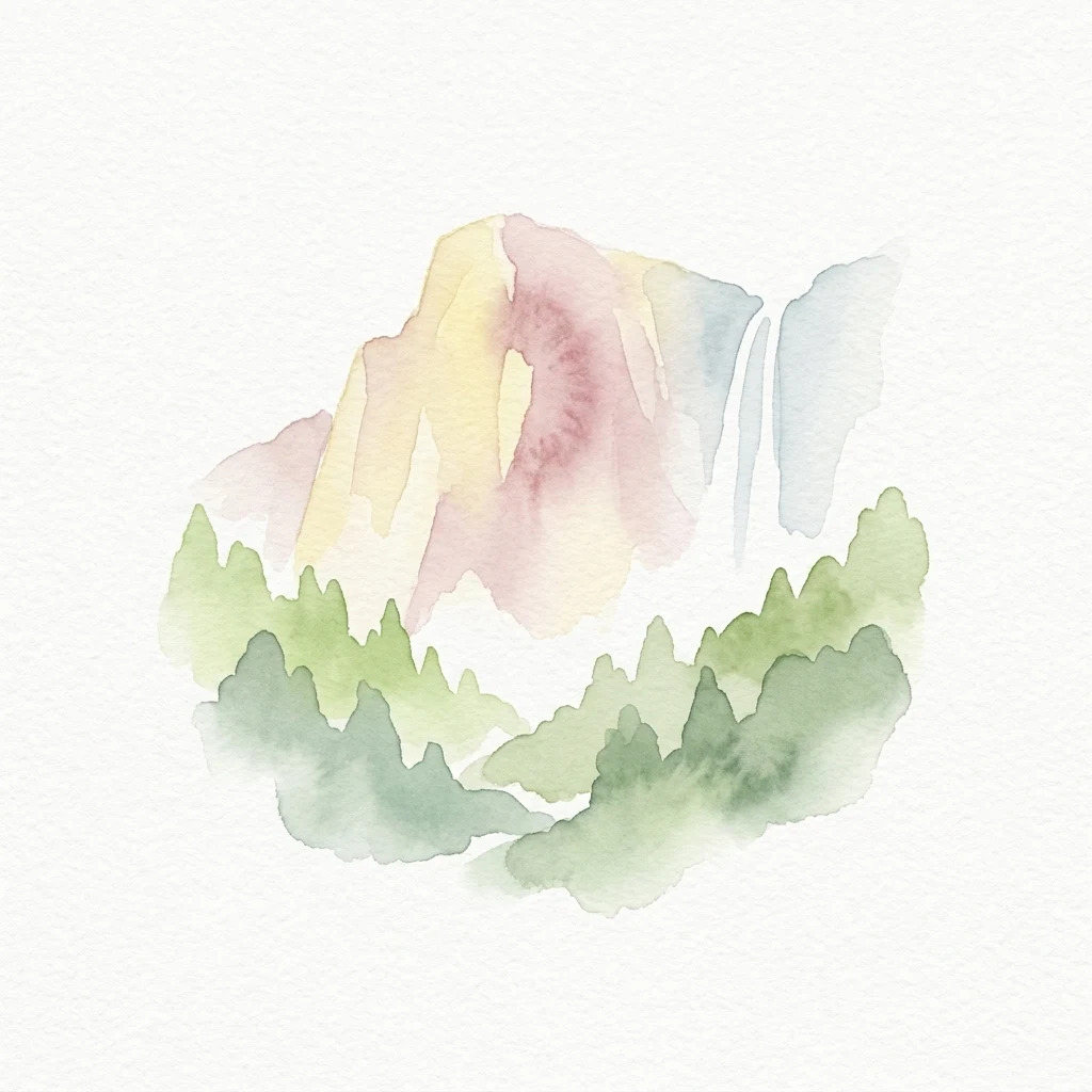
Watercolor painting showing a mountain with a waterfall and surrounding forest
National parkCaliforniaMountain

Yosemite National Park

Mapped boundaries and regional setting for a key California national park.

Delve into the protected landscape identity of Yosemite National Park, examining its specific geographic features and its place within the broader atlas of California's natural areas. This entry provides detailed context on its mapped boundaries, regional positioning, and significance as a protected natural site, essential for understanding its landscape and conservation geography.

3,070 km²1890MediterraneanEasy access
National parkCaliforniaMarine

Redwood National and State Parks

Explore California's protected area atlas.

Gain a structured understanding of Redwood National and State Parks as a protected national park within the geographic context of California. This dedicated page focuses on its mapped boundaries and protected landscape identity, offering critical atlas-level insights for regional geography exploration and conservation land context. Discover how this protected area fits into the larger mapped terrain.

562.88 km²1968MediterraneanEasy access
Watercolor illustration of a coastal landscape with cliffs, terraced hills, and a beach
National parkLiguria

Cinque Terre National Park

Explore its regional context in Liguria, Italy.

Examine Cinque Terre National Park as a key protected area within the rugged geography of Italy's Liguria region. This dedicated atlas entry provides essential geographic context, detailing the park's mapped boundaries and its significance as a national park. Understand how this protected landscape fits within the broader regional terrain, offering a structured view for geographic discovery and map-based exploration of Italy's protected areas.

22 km²1999MediterraneanModerate access
Watercolor illustration showing Mount Teide as a green mountain with a pinkish area, a purple rock formation, orange terrain, green hills, and a yellow-pink sky
National parkTenerifeMountain

Teide National Park

Explore protected volcanic terrain and mapped geography on Tenerife.

Teide National Park protects the highest point in Spain, Mount Teide, within a spectacular caldera and surrounding volcanic terrain on Tenerife. This national park offers a unique landscape for geographic discovery, showcasing dramatic lava flows, volcanic cones, and endemic flora. Its protected boundaries define a significant area of natural interest, making it a key landmark for atlas exploration of island geography and protected lands.

189.9 km²1954MediterraneanModerate access
Watercolor illustration of a single green tree with a reflection in a body of water, set against a soft pastel background of pink and yellow clouds
National parkHuelva

Doñana National Park

Explore Huelva's key protected area and its regional geographic setting.

Delve into the structured geographic data and mapped boundaries of Doñana National Park. This entry highlights its identity as a national park within the Huelva region, providing essential context for understanding its protected landscape. MoriAtlas offers this detail to facilitate a clear, atlas-driven exploration of its natural terrain and its place in the broader geographic framework of Spain.

543 km²1969MediterraneanModerate access
National parkCaliforniaMountain

Kings Canyon National Park

Mapped park boundaries and regional natural context.

Kings Canyon National Park stands as a key protected national park within California, offering a specific focus for geographic understanding and atlas-based exploration. This page details the park's mapped boundaries and its integration into the broader regional geography of California. For users interested in the distribution of protected lands and the mapping of natural landscapes, Kings Canyon National Park provides a crucial point of study within the comprehensive park atlas.

1,869.25 km²1890MediterraneanModerate access
National parkŠibenik-Knin County

Krka National Park

Explore the mapped protected landscape and karst geography.

Krka National Park, designated as a national park in Croatia, offers a rich exploration of its protected landscape. Located in Šibenik-Knin County, the park is defined by the Krka River and its extraordinary seven travertine waterfalls, most notably Skradinski buk, the largest cascade system of its kind in Europe. This atlas-focused view highlights the park's unique karst terrain, Mediterranean ecosystems, and its position within the regional geography, providing essential context for understanding its protected natural heritage.

109 km²1985MediterraneanModerate access
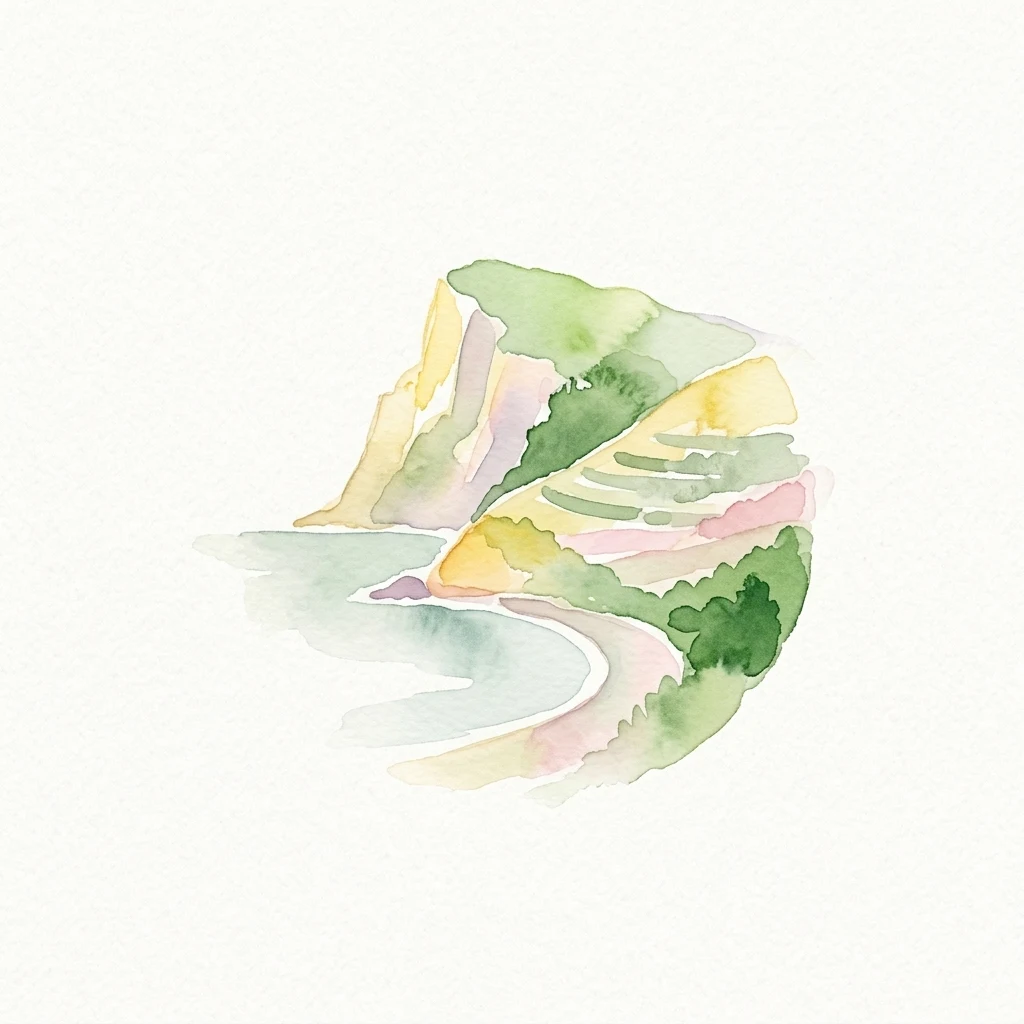
Watercolor painting of yellowish limestone cliffs, green shrubs, and blue water
National parkBouches-du-RhôneMarine

Calanques National Park

France's First Peri-Urban National Park

Calanques National Park, situated in the Bouches-du-Rhône department, represents a significant protected landscape where dramatic limestone geology meets the Mediterranean Sea. This atlas-focused entry details the park's iconic calanques, its combined terrestrial and marine protected zones, and its rich prehistoric cultural significance. Understand its unique geographic setting and its importance as a conservation area accessible for map-based discovery and regional landscape context.

520 km²2012MediterraneanModerate access
Watercolor illustration of a winding river flowing through mountainous landscape with green and red accents
National parkGjirokastër CountyMountain

Vjosa Wild River National Park

Mapping dynamic canyons and vital river ecosystems in Gjirokastër County.

Vjosa Wild River National Park is recognized as Europe's first Wild River National Park, a groundbreaking designation protecting an entire river system from source to sea. This protected area in Gjirokastër County preserves remarkable topography, including dramatic canyons, natural rapids, and meandering islands, all shaped by the free flow of the Vjosa River and its tributaries. Explore the mapped boundaries and unique landscape context of this significant biodiversity hotspot, offering a crucial case study for river conservation and atlas discovery.

127.27 km²2023MediterraneanAccess unknown
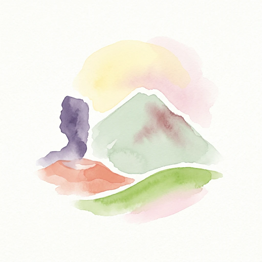
Watercolor painting of Mount Vesuvius showing volcanic activity with smoke and surrounding greenery
National parkCampaniaMountain

Vesuvius National Park

Explore mapped boundaries and regional geography.

Discover Vesuvius National Park, a vital protected area safeguarding Italy's iconic active volcano. This page provides essential geographic context, detailed mapped terrain, and insights into the park's unique volcanic landscape within the Campania region. It serves as a key entry point for understanding the park's protected status and its geological significance for structured atlas exploration.

72.59 km²1995MediterraneanModerate access
Watercolor painting depicting a snow-capped mountain peak surrounded by green forests and a winding path through a meadow
National parkAndalusiaMountain

Sierra Nevada National Park

Explore Spain's highest mountain range mapped across Andalusia's atlas.

Sierra Nevada National Park offers a profound exploration of Spain's highest alpine environments and a significant entry in the regional geography atlas. This protected area showcases classic glacial landforms, U-shaped valleys, and numerous high-mountain lakes, alongside a remarkable abundance of endemic plant species thriving in its unique microclimates. Understanding its mapped boundaries reveals a landscape vital for both biodiversity and watershed, situated prominently within the broader geographic context of Andalusia.

858.83 km²1999MediterraneanModerate access
National parkMountain

Vikos-Aoös National Park

Discover protected area boundaries and regional geography in Epirus.

Vikos-Aoös National Park in Greece's Pindus mountains is a premier destination for exploring dramatic natural geography. Best known for the Vikos Gorge, considered the world's deepest canyon relative to its width, the park also features towering alpine peaks like Mount Tymphe, glacial lakes such as Drakolimni, and rich botanical diversity. As a UNESCO Geopark and part of the Natura 2000 network, it safeguards critical habitats, including significant brown bear populations. This park offers a profound look into protected landscapes, offering detailed geographic context and mapped terrain for atlas-based discovery.

126 km²1973MediterraneanModerate access
Related environmental topics

Tracing how moisture gradients, latitude, and ocean proximity shape neighboring ecological regimes

Climatic transitions among Mediterranean climate national parks and related zones

Analyzing neighboring climate regions helps researchers trace how shifting rainfall gradients and thermal patterns dictate the survival limits of specialized park habitats. Since elevation and ocean proximity create gradual transitions instead of sharp borders, studying these relationships clarifies the complex ecological character of each park.

Temperate climate

Temperate climate conditions shape the appearance, ecology, water, seasonality, and visitor-visible character of parks across several regions. The zone is interpreted qualitatively because local elevation, coastlines, and terrain create substantial variation.

586 represented parks

Subtropical climate

Subtropical climate conditions shape the appearance, ecology, water, seasonality, and visitor-visible character of parks across several regions. The zone is interpreted qualitatively because local elevation, coastlines, and terrain create substantial variation.

258 represented parks

Arid climate

Arid climate conditions shape the appearance, ecology, water, seasonality, and visitor-visible character of parks across several regions. The zone is interpreted qualitatively because local elevation, coastlines, and terrain create substantial variation.

231 represented parks

MoriAtlas Explorer

Trace Global Climate Zones Across National Parks and Protected Areas

Continue into the MoriAtlas climate taxonomy to distinguish between varied atmospheric settings. Compare how long-term environmental patterns and seasonal cycles define the character of diverse protected landscapes across every continent.

Global natural geography