Mori Atlas logo
Boreal forest221 represented parks36 countries

Understanding vegetation, seasonal dynamics, and northern forest resilience across global protected lands.

Boreal Forest in National Parks and Protected Areas: An Ecological Habitat Perspective

Boreal forest represents a recurring ecological pattern of cold-adapted conifers, expansive wetlands, and disturbance-driven mosaics. This analysis examines the climate, soil conditions, and hydrological regimes that govern these northern environments, providing a framework for comparing ecological functions across diverse protected landscapes. Each protected area offers a distinct expression of the habitat, shaped by localized competition, herbivory, and regeneration pathways.

Related tags

boreal forestforestpark habitatsprotected ecosystems
Habitat setting

How cold northern climates, acidic soils, and hydrology shape this ecological community

Boreal forest in national parks and protected areas: habitat conditions and core ecosystems

Boreal forest represents a cold northern ecosystem dominated by conifers, extensive wetlands, and disturbance-adapted plant communities situated south of the tundra border. Extreme seasonal climates, acidic podzolic soils, and discontinuous permafrost govern water storage and nutrient cycles to sustain regional ecosystem structures.

Habitat definition

Boreal forest is cold northern forest dominated by conifers, wetlands, and disturbance-adapted ecosystems below the tundra. The category describes a broad ecological pattern, so local examples may contain several communities and transitional zones.

This definition does not imply that every occurrence has the same conservation condition. Intact, recovering, modified, and naturally sparse examples can share the same habitat type. Condition must be assessed separately through local evidence, management history, native species composition, and the continued operation of ecological processes.

A consistent definition also prevents broad scenery terms from being mistaken for evidence that the habitat occupies an entire park.


Climate relationship

Long cold winters and short mild summers sharply limit the growing season. Climate controls productivity, water availability, disturbance, and the timing of biological activity.

Seasonal timing is crucial because organisms respond to when warmth and moisture arrive, not only how much occurs. If flowering, insects, migration, flooding, or snowmelt become less synchronized, ecological effects can appear before the habitat’s overall structure visibly changes.

Local refuges may buffer short-term extremes, but sustained changes in temperature or moisture can eventually exceed that protective capacity.

Soils and hydrology

Common physical conditions include often acidic podzolic soils with extensive peatlands, lakes, rivers, and discontinuous permafrost. These conditions influence rooting, nutrients, water storage, and habitat boundaries.

Natural variability is often essential. Periodic drying, flooding, erosion, sediment deposition, water-table movement, or channel change can maintain habitat diversity. Stabilizing every surface or holding water at one level may simplify a system that depends on alternating conditions.

Changes to drainage, sediment, groundwater, or soil disturbance can therefore transform the habitat even before vegetation loss becomes visually obvious.

Ecological community

How natural disturbances, vegetative structures, and wildlife food webs shape these northern biomes

Boreal forest in national parks and protected areas ecology and ecosystem function

Natural disturbances like wildfire and insect cycles drive forest succession, establishing complex mosaics of conifers, birch, and peatlands. Cold-adapted wildlife and seasonal migratory species rely on these diverse structural niches to navigate extreme environmental pulses from winter freeze to summer nesting.

Ecological processes

Key ecological processes include fire, insects, snow, permafrost, peat formation, and slow decomposition create shifting forest mosaics. Their relative importance changes with geography, disturbance history, and landscape connectivity.

Competition, predation, herbivory, pollination, decomposition, and mutualism all contribute to the habitat’s organization. Their expression varies regionally, but the underlying relationships help explain vegetation patterns, wildlife concentration, regeneration, and resilience after drought, fire, flood, or storm.

The balance among productivity, decomposition, competition, predation, and disturbance determines whether the habitat persists, shifts, or fragments.

Vegetation structure

Typical vegetation includes spruce, pine, fir, larch, birch, mosses, lichens, dwarf shrubs, and wetland plants. Plant structure varies with moisture, soils, elevation, disturbance, and succession.

Regeneration is a central part of habitat condition. Seed production, resprouting, vegetative spread, seedling survival, and colonization of new surfaces determine whether vegetation can recover after disturbance. Browsing, invasive plants, altered water, or repeated severe events can interrupt those pathways.

Structure is as important as species identity because canopy layers, ground cover, and patchiness shape microclimate and available wildlife niches.

Wildlife relationships

Characteristic wildlife may include migratory birds, moose, caribou, bears, wolves, beavers, and cold-adapted small mammals. Individual parks support different species, but similar ecological roles recur across the habitat.

Detectability also changes with season and time of day. Absence from a brief observation does not mean absence from the habitat, especially for nocturnal, migratory, underground, aquatic, or canopy-dwelling animals. Park content should separate typical ecological association from guaranteed sightings.

Resident, migratory, and seasonally visiting species may rely on different parts of the habitat, so a single species list cannot describe its full value.

Seasonal dynamics

Snowmelt, insects, nesting, fire, autumn migration, and freeze-up create intense seasonal pulses. These changes affect food, cover, breeding, migration, fire, and visibility.

Extreme years can expose the habitat’s limits. Prolonged drought, exceptional flood, deep snow, warm winter, or severe fire may favor some species and reduce others, leaving legacies that persist for several seasons. Long-term monitoring is needed to separate normal variation from directional change.

These cycles affect detectability as well as ecology: the same habitat may appear sparse, flooded, dormant, or exceptionally productive at different times.

Conservation and global context

Understanding how cumulative pressures and landscape connectivity shape northern forest resilience

Boreal Forest in National Parks and Protected Areas: Global Ecology and Protection

As a massive northern biome storing vast carbon and linking continental wildlife corridors, the boreal ecosystem maintains critical freshwater networks and global climate functions. Sustaining protected landscapes requires managing cumulative pressures like temperature shifts and forest fragmentation while coordinating cooperative conservation across regional boundaries.

Ecological importance

The biome stores vast carbon, connects continental wildlife ranges, and contains major freshwater systems. Its value depends on intact processes and connections with neighboring habitats.

Ecosystem services should be described alongside intrinsic ecological value, not as a substitute for it. Water storage, erosion control, pollination, fisheries support, climate regulation, and cultural meaning all emerge from functioning ecological relationships rather than from the habitat name alone.

Its significance should be evaluated through these functions and landscape connections rather than through area or species richness alone.

Threats and pressures

Important pressures include warming, larger fires, pests, permafrost thaw, extraction, roads, and habitat fragmentation. Their severity varies by region and should not be assumed to be equal in every park.

Threat assessment should remain location-specific. A major global pressure may be minor in one park, while a local road, water diversion, disease, or invasive organism has disproportionate impact. The global text can explain mechanisms without assigning unsupported condition scores to individual protected areas.

Pressures can reinforce one another, making cumulative effects more consequential than any single threat considered in isolation.

Conservation approaches

Common approaches include maintaining large intact landscapes, natural disturbance, peat hydrology, and migration connectivity. Management works best when it addresses both the habitat patch and the wider landscape processes that sustain it.

Protected-area boundaries are rarely sufficient on their own. Buffer landscapes, upstream catchments, marine connections, migration routes, and neighboring communities influence long-term condition. Cooperative management can reduce external pressure while respecting that conservation methods differ among regions.

Management outcomes should be measured through ecological condition and recovery, not merely the number of interventions completed.

Recognizing the habitat in parks

Visitors see conifer mosaics, lakes, peatlands, long summer light, and strong evidence of fire and winter. These observable patterns help connect the habitat's appearance with its ecology.

Sound, smell, temperature, humidity, wind, light, and ground texture can reveal ecological differences that a scenic image misses. Describing these qualities can make park content vivid while remaining educational and avoiding promises about wildlife sightings or current conditions.

Responsible interpretation should help visitors recognize habitat structure and sensitivity without implying guaranteed wildlife sightings or unrestricted access.

Global distribution

The habitat occurs across Canada, Alaska, Scandinavia, Russia, and northern Eurasia. Regional forms differ in species composition while sharing broad ecological structure.

Elevation and coast-to-interior gradients can reproduce the habitat far outside its main latitudinal belt. Mountain slopes, rain shadows, fog zones, floodplains, and islands create isolated occurrences that may contain distinctive species or serve as climate refuges.

Protected examples are unevenly documented, so distribution summaries should distinguish ecological range from the current contents of the park database.

Global park examples

Representative examples include Wood Buffalo, Pallas-Yllästunturi, and Yugyd Va national parks. They illustrate geographic variety rather than a complete ranking of habitat sites.

Country-level habitat pages should be created only where the park count and data quality support a useful comparison. The global examples can then connect readers to strong regional clusters while keeping the educational explanation broader than any one destination.

Examples should remain geographically balanced and be treated as illustrative evidence, not as a ranking of the world's most important sites.

Representative parks

Compare northern conifer ecosystems across diverse latitudinal gradients and regional climates

National Parks Representing Boreal Forest in National Parks and Protected Areas

Stored habitat records link cold northern conifer systems to documented national parks across Canada, Alaska, Scandinavia, and northern Eurasia. Individual park profiles allow readers to compare local ecosystem dynamics while recognizing that boreal zones often represent seasonal transition belts rather than uniform coverage across a protected area.
National parkCanadaMountain

Banff National Park

Mapped park boundaries and regional geographic context for Banff National Park.

Gain a structured understanding of Banff National Park as a key protected area within Canada. This resource details its identity as a national park, providing insights into its geographic setting and mapped landscape. It serves as a vital point for atlas-based discovery, helping to contextualize Banff National Park's significance within Canada's protected lands and natural terrain.

6,641 km²1885SubpolarEasy access
National parkTennesseeMountain

Great Smoky Mountains National Park

Tennessee's premier national park, mapped for landscape discovery.

Delve into the protected area identity of Great Smoky Mountains National Park, a significant natural landmark within Tennessee. This page provides detailed context on its mountainous terrain, mapped ecological zones, and its foundational role in the broader geography of eastern North America. Understanding the park's specific protected landscape features and its geographic setting is essential for appreciating its unique conservation value.

2,114.15 km²1934TemperateEasy access
National parkMagallanes RegionMountain

Torres del Paine National Park

Explore mapped protected landscapes and regional context.

Torres del Paine National Park represents a distinct protected landscape within Chile's Magallanes Region, offering valuable insights for geographic discovery and atlas exploration. This national park's mapped boundaries and unique terrain contribute to a comprehensive understanding of its protected status and environmental context. MoriAtlas provides structured data to explore the park's geography, landscape features, and its role as a vital protected natural area for detailed study.

1,814.14 km²1959TemperateModerate access
National parkAustraliaMarineMountain

Kakadu National Park

Explore Kakadu National Park's mapped boundaries and natural terrain.

Kakadu National Park stands as a significant national park entity within Australia, providing rich geographic context for atlas discovery. This page details the park's protected area identity, its mapped natural landscapes, and its place within the broader Australian continent's geography. Understand the unique regional setting and the specific topographic features that define Kakadu National Park for detailed exploration and comparative geographic analysis.

19,804 km²1979TropicalModerate access
National parkKoshi ProvinceMountain

Sagarmatha National Park

Explore the protected area's regional geographic context.

Sagarmatha National Park serves as a distinct protected national park entity. This page facilitates an in-depth understanding of its mapped boundaries and its location within Koshi Province. Users can explore the park's specific landscape characteristics and its position within the broader regional geography, providing a foundation for atlas and map-driven discovery.

1,148 km²1976AlpineII
National parkArgentinaMountain

Los Glaciares National Park

Explore glacial terrain and iconic Andes peaks.

Los Glaciares National Park is a vast protected area in Argentina, dominated by a massive Patagonian ice cap and numerous descending glaciers, including the renowned Perito Moreno Glacier. Its dramatic landscape of ice fields, glacial lakes, and towering granite spires like Mount Fitz Roy provides critical context for understanding regional geography and the formation of glacial terrain. This park exemplifies the unique protected ecosystems of the southern Andes, offering rich detail for atlas-based discovery.

7,269.27 km²1937TemperateModerate access
National parkKunene Region

Etosha National Park

Discover its protected boundaries and geographic context.

Gain a structured understanding of Etosha National Park, a prominent national park within Namibia's Kunene Region. This entry focuses on the park's protected landscape identity, detailing its mapped boundaries and geographic significance. Explore Etosha National Park through the lens of atlas-driven discovery, appreciating its role as a key protected area and its contribution to the regional geography of the surrounding landscape.

22,270 km²1907AridII
National parkAlbertaMountain

Jasper National Park

Explore Alberta's regional park context and natural terrain.

Jasper National Park is a key protected national park in Alberta, Canada, offering extensive natural landscapes. This park page details its precise geographic location, outlines its protected boundaries, and provides context within the regional geography of Western Canada. Discover the mapped terrain and the park's significance as a protected area within a broader atlas perspective.

10,878 km²1907BorealModerate access
National parkMontanaMountain

Glacier National Park

Explore its mapped boundaries and regional natural terrain.

Glacier National Park represents a significant national park entity within Montana, providing a unique lens for understanding protected landscapes and regional geography. As a key component of the US protected areas network, it offers valuable insights into mapped park boundaries and the surrounding natural terrain. This page serves as a gateway to exploring the specific geographic context and landscape identity of Glacier National Park.

4,100.77 km²1910BorealModerate access
National parkAlaskaMarineMountain

Wrangell–St. Elias National Park and Preserve

Mapped protected lands and regional landscape context.

Dive into the detailed geography of Wrangell, St. Elias National Park and Preserve, a prominent national park located in Alaska. This resource focuses on its extensive mapped boundaries and its role as a protected landscape, offering insights valuable for understanding regional geography and the distribution of natural areas.

53,320.6 km²1980SubpolarModerate access
National parkColoradoMountain

Rocky Mountain National Park

Explore its mapped boundaries and regional geographic context.

Rocky Mountain National Park is a designated National Park within Colorado, crucial for understanding the distribution and geographic context of protected areas in the United States. This detail page provides an atlas-oriented perspective, emphasizing the park's mapped boundaries and its place within the natural landscape of the region. It is designed to facilitate a clear understanding of the park's protected status and its contribution to the atlas of natural landscapes, offering factual insights for geographic discovery.

1,074.28 km²1915AlpineEasy access
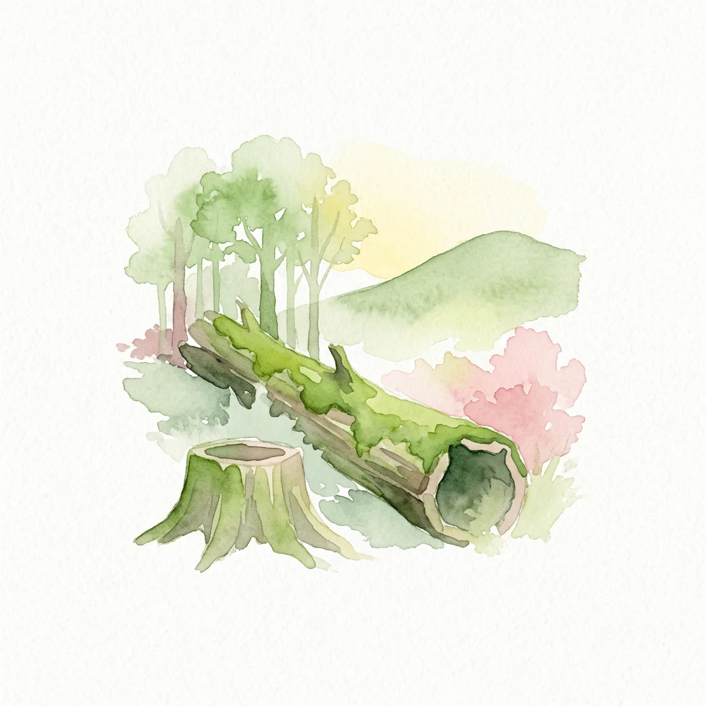
Watercolor painting of a moss-covered fallen tree trunk, a tree stump, and forest trees with hills in the background
National parkPodlaskie Voivodeship

Białowieża National Park

Northeastern Poland's ancient woodland and river valley geography

Encompassing the heart of the Białowieża Forest, this national park protects an unparalleled temperate old-growth ecosystem. The landscape contains a complex mix of upland forests, swampy alder groves, and meandering river corridors, providing a crucial habitat for the world's largest free-ranging population of European bison.

105.17 km²1932BorealModerate access
Related environmental topics

How moisture gradients and fire disturbances shape neighboring environmental communities

Boreal forest in national parks and protected areas: related habitats and transitions

Comparing adjacent northern ecosystems reveals how shifts in climate, drainage, and elevation create complex environmental mosaics across high-latitude protected landscapes. While these transitional zones share key processes like wildfire and permafrost dynamics, each distinct habitat retains its own soil structures and vegetative characteristics.

Temperate coniferous forest

Temperate coniferous forest is a recurring ecological setting across protected areas. Understanding its climate, vegetation, wildlife, soils, water, and seasonal dynamics helps explain why parks with the same habitat can still look and function differently.

998 represented parks

Peatland

Peatland is a recurring ecological setting across protected areas. Understanding its climate, vegetation, wildlife, soils, water, and seasonal dynamics helps explain why parks with the same habitat can still look and function differently.

448 represented parks

Tundra habitat

Tundra habitat is a recurring ecological setting across protected areas. Understanding its climate, vegetation, wildlife, soils, water, and seasonal dynamics helps explain why parks with the same habitat can still look and function differently.

90 represented parks

MoriAtlas Explorer

Continue Exploring Protected Area Ecosystems and Habitat Types

Deepen your understanding of worldwide park geography through the MoriAtlas ecological index. Compare how fire, flooding, and soil chemistry differentiate forest, wetland, and tundra habitats to better interpret the complex environmental architecture of protected regions.

Global natural geography