Mori Atlas logo
Steppe80 represented parks30 countries

Understanding vegetation structure, seasonal cycles, and landscape processes in dry grasslands.

Steppe Habitat in National Parks and Protected Areas: An Ecological and Geographic Overview

Steppe habitat represents a recurring ecological setting defined by dry temperate conditions, low rainfall, and strong continental seasonality. This overview examines the vegetation structure, water regimes, and ecological roles of wildlife within these landscapes. By looking beyond simple classification, learn how protected areas sustain these systems across diverse regions.

Related tags

steppe habitatgrasslandpark habitatsprotected ecosystems
Habitat setting

Severe temperature extremes and drought-prone soils govern the growth of dry temperate grasslands

Steppe habitat in national parks and protected areas and its defining ecosystem conditions

Steppe habitat represents dry temperate grasslands or shrub-grass systems characterized by limited annual precipitation and high continental seasonality. Pronounced seasonal temperature fluctuations along with nutrient-storing chestnut and saline soil layers establish the baseline conditions for specialized plant rooting and water conservation.

Habitat definition

Steppe habitat is dry temperate grassland or shrub-grass habitat with low rainfall and strong continental seasonality. The category describes a broad ecological pattern, so local examples may contain several communities and transitional zones.

Classification normally relies on several signals together: dominant life forms, vegetation structure, water regime, climate, soils, disturbance, and spatial continuity. A single plant species or scenic impression is rarely enough. The broad category is intended for atlas discovery, while detailed ecological surveys may divide it into many narrower communities.

A consistent definition also prevents broad scenery terms from being mistaken for evidence that the habitat occupies an entire park.


Climate relationship

Hot summers, cold winters, low precipitation, and large daily and annual temperature ranges. Climate controls productivity, water availability, disturbance, and the timing of biological activity.

Climate acts through both averages and extremes. A short drought, late frost, heatwave, storm, low-snow winter, or unusual flood can influence survival and regeneration more strongly than a small change in the annual mean. Elevation, slope, water, canopy, and coastlines create local refuges within the broader zone.

Local refuges may buffer short-term extremes, but sustained changes in temperature or moisture can eventually exceed that protective capacity.

Soils and hydrology

Common physical conditions include often chestnut or saline soils with temporary streams, shallow lakes, and drought-prone basins. These conditions influence rooting, nutrients, water storage, and habitat boundaries.

Soils and water provide the habitat’s less visible foundation. Texture, organic matter, oxygen, salinity, acidity, nutrients, rooting depth, and groundwater position control productivity and species composition. Surface vegetation can remain temporarily while degradation below ground reduces long-term resilience.

Changes to drainage, sediment, groundwater, or soil disturbance can therefore transform the habitat even before vegetation loss becomes visually obvious.

Ecological community

How wildlife migration and grazing cycles balance plant structure in dry grasslands

Steppe habitat in national parks and protected areas ecology and ecosystem function

Nutrient cycling, wildfire, grazing pressure, and wind-driven erosion maintain the low vegetation layer and open structures that define temperate grassland regions. Migratory ungulates, ground birds, and seasonal grasses adapt to extreme continental climates by shifting across the landscape as dry summers transition into severe winters.

Ecological processes

Key ecological processes include drought, wind, grazing, cold, fire, and episodic rain maintain sparse low vegetation. Their relative importance changes with geography, disturbance history, and landscape connectivity.

Energy and nutrients move through producers, consumers, decomposers, water, and soil at rates set by temperature and moisture. Disturbance can reset part of the system while leaving refuges that support recovery. The timing, size, and frequency of those events often matter more than whether disturbance occurs at all.

The balance among productivity, decomposition, competition, predation, and disturbance determines whether the habitat persists, shifts, or fragments.

Vegetation structure

Typical vegetation includes short grasses, feather grasses, sagebrush, salt-tolerant shrubs, bulbs, and spring herbs. Plant structure varies with moisture, soils, elevation, disturbance, and succession.

Vegetation should be described through layers, density, height, seasonality, and functional adaptations rather than as a universal species list. Dominant plants create shade, litter, shelter, fuel, roughness, and rooting structure, while smaller plants occupy gaps, edges, wet pockets, or disturbed surfaces.

Structure is as important as species identity because canopy layers, ground cover, and patchiness shape microclimate and available wildlife niches.

Wildlife relationships

Characteristic wildlife may include saiga and other ungulates, foxes, wolves, marmots, ground birds, raptors, and reptiles. Individual parks support different species, but similar ecological roles recur across the habitat.

Wildlife use is rarely uniform across the habitat. Some species depend on interior conditions, others on edges, water, old trees, bare ground, seasonal food, or temporary disturbance patches. Mobile animals may use steppe habitat for only one stage of breeding, migration, feeding, shelter, or dispersal.

Resident, migratory, and seasonally visiting species may rely on different parts of the habitat, so a single species list cannot describe its full value.

Seasonal dynamics

Brief spring growth and breeding give way to summer drought, autumn migration, and severe winter. These changes affect food, cover, breeding, migration, fire, and visibility.

Seasonality affects not only appearance but ecological opportunity. Food, nesting sites, shelter, oxygen, water depth, fire risk, and movement corridors may become available for short periods. Species often survive unfavorable months through migration, dormancy, stored reserves, underground stages, or use of neighboring habitats.

These cycles affect detectability as well as ecology: the same habitat may appear sparse, flooded, dormant, or exceptionally productive at different times.

Conservation and global context

Balancing migratory connectivity, cumulative land-use pressures, and landscape-scale restoration.

Steppe Habitat in National Parks and Protected Areas: Global Conservation Context

Vast open grasslands support critical migratory pathways, specialized evolutionary communities, and essential soil carbon reserves that rely on landscape connectivity. Management frameworks across Eurasia and the Americas focus on restoring natural processes to counter cumulative pressures like fragmentation and altered hydrologic flows.

Ecological importance

Large open ranges are essential for migratory animals, raptors, and intact grassland processes. Its value depends on intact processes and connections with neighboring habitats.

Importance can arise from high diversity, rare specialists, large populations, connectivity, water regulation, carbon storage, soil protection, or support for neighboring ecosystems. Naturally species-poor habitats may still be irreplaceable because their physical conditions and evolutionary communities occur nowhere else.

Its significance should be evaluated through these functions and landscape connections rather than through area or species richness alone.

Threats and pressures

Important pressures include cropland conversion, fencing, overgrazing, extraction, roads, and altered water regimes. Their severity varies by region and should not be assumed to be equal in every park.

Pressures often interact. Fragmentation can limit recovery after fire, pollution can intensify low-flow stress, invasive species can alter fuel, and climate change can magnify drought or flooding. Listing drivers separately is useful, but management must consider their combined effect and the habitat’s recovery rate.

Pressures can reinforce one another, making cumulative effects more consequential than any single threat considered in isolation.

Conservation approaches

Common approaches include protecting large connected ranges, mobile wildlife, natural grazing, and seasonal wetlands. Management works best when it addresses both the habitat patch and the wider landscape processes that sustain it.

Restoration targets should focus on process and resilience, not only a preferred visual state. Reconnecting water, movement, sediment, fire, grazing, or succession may allow native communities to reorganize naturally. Where key species or seed sources are missing, more active intervention can be necessary.

Management outcomes should be measured through ecological condition and recovery, not merely the number of interventions completed.

Recognizing the habitat in parks

Visitors encounter immense horizons, low wind-shaped plants, burrows, raptors, and seasonal color pulses. These observable patterns help connect the habitat's appearance with its ecology.

Useful interpretation points to structure and evidence: canopy layers, plant spacing, water marks, soil moisture, tracks, burrows, deadwood, flowering, grazing, or transitions into grassland, desert, shrubland. These clues help readers understand function rather than memorize a list of organisms.

Responsible interpretation should help visitors recognize habitat structure and sensitivity without implying guaranteed wildlife sightings or unrestricted access.

Global distribution

The habitat occurs across Eurasia, Patagonia, Central Asia, interior North America, and rain-shadow regions. Regional forms differ in species composition while sharing broad ecological structure.

Distribution maps should distinguish broad potential range from confirmed habitat condition. Climate and landform may permit the habitat across a large region, while land use, disturbance, isolation, or water change restrict intact examples to smaller areas. Protected parks represent only part of the global pattern.

Protected examples are unevenly documented, so distribution summaries should distinguish ecological range from the current contents of the park database.

Global park examples

Representative examples include Altyn-Emel, Hustai, and Patagonia national parks. They illustrate geographic variety rather than a complete ranking of habitat sites.

The examples demonstrate different regional forms rather than defining a universal species composition. One park may show a large intact core, another an elevational transition, and another a habitat shaped by fire, flood, grazing, coast, or ice. Their comparison should focus on ecological structure and process.

Examples should remain geographically balanced and be treated as illustrative evidence, not as a ranking of the world's most important sites.

Representative parks

Trace ecological variations across different continental climates and rain-shadow basins.

National Parks Associated with Steppe Habitat in Protected Areas

Stored habitat data connects diverse global conservation areas with documented records of dry, temperate grasslands. Individual park profiles allow readers to compare regional vegetation profiles, keeping in mind that steppe landscapes often exist as transitional zones or seasonal pockets rather than uniform ecosystems.
Nature reserveJordanMountain

Wadi Mujib

Discover mapped boundaries and arid biodiversity within this unique rift valley gorge.

Wadi Mujib Nature Reserve represents a significant protected landscape in Jordan, celebrated for its deep desert canyon and dramatic slot canyon terrain. Situated in the Dead Sea region, this reserve protects a remarkable range of geography, from its lowest points near the Dead Sea to surrounding mountain terrain. Its status as a UNESCO biosphere reserve highlights its importance for arid biodiversity and its role as a migratory bird flyway, offering a distinct atlas-level discovery of Jordan's natural heritage.

212 km²1987AridModerate access
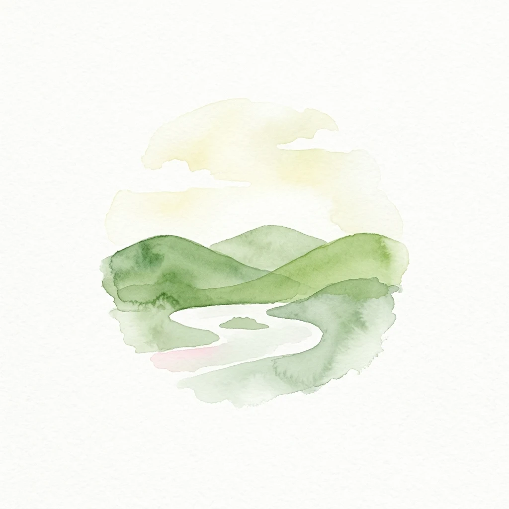
Watercolor illustration of rolling green hills, a winding river, and a pale sky
National park

Hortobágy National Park

Explore the unique geography and mapped park boundaries of Hungary's first national park.

Hortobágy National Park is a monumental protected area in Eastern Hungary, recognized globally as the first national park established in the country and a UNESCO World Heritage site. This vast expanse of semi-natural grassland, known as the puszta, stretches across approximately 74,820 hectares, embodying over four millennia of pastoral traditions. The park's landscape is characterized by alkaline soils and sweeping horizons, offering a unique ecosystem with significant avian populations and preserved cultural landmarks. MoriAtlas provides structured geographic context and mapped details to understand this exceptional protected landscape.

748.2 km²1973TemperateII
National parkArica-Parinacota RegionMountain

Lauca National Park

Explore the geography of this Arica-Parinacota Region national park.

Lauca National Park is a significant protected area in Chile's Arica-Parinacota Region, offering a unique glimpse into the dramatic geography of the high Andes. Its landscape is characterized by imposing volcanic formations, including Parinacota Volcano, and expansive altiplano terrain. This national park serves as a vital protected landscape, inviting detailed exploration of its mapped boundaries, diverse ecosystems, and remarkable natural features for those interested in geographic context and conservation.

1,379 km²1970AlpineModerate access
National parkGilgit-BaltistanMountain

Central Karakoram National Park

Explore mapped park boundaries and extreme alpine terrain.

Central Karakoram National Park is a vast protected area in Gilgit-Baltistan, Pakistan, acclaimed for its status as the world's highest national park and its home to K2, the planet's second-highest summit. This region's landscape is dominated by immense glacial formations, including the Baltoro Glacier, and towering granite peaks, presenting a unique environment for studying extreme alpine geography and protected landscapes. The park's mapped boundaries enclose a significant concentration of ultra-high mountains, making it a critical focus for atlas-based natural resource discovery and geographic context.

10,557 km²1993AlpineRemote access
National parkSaskatchewan

Grasslands National Park

Discover its mapped boundaries and regional geographic context.

Grasslands National Park represents a vital component of protected lands in Saskatchewan, Canada, offering rich opportunities for atlas-based geographic exploration. This detail page provides specific insights into the park's mapped boundaries, its natural terrain, and its role as a national park within the broader regional geography. Understand how this protected landscape fits into the larger atlas of Canadian conservation areas and discover its unique geographic identity.

907 km²1981AridModerate access
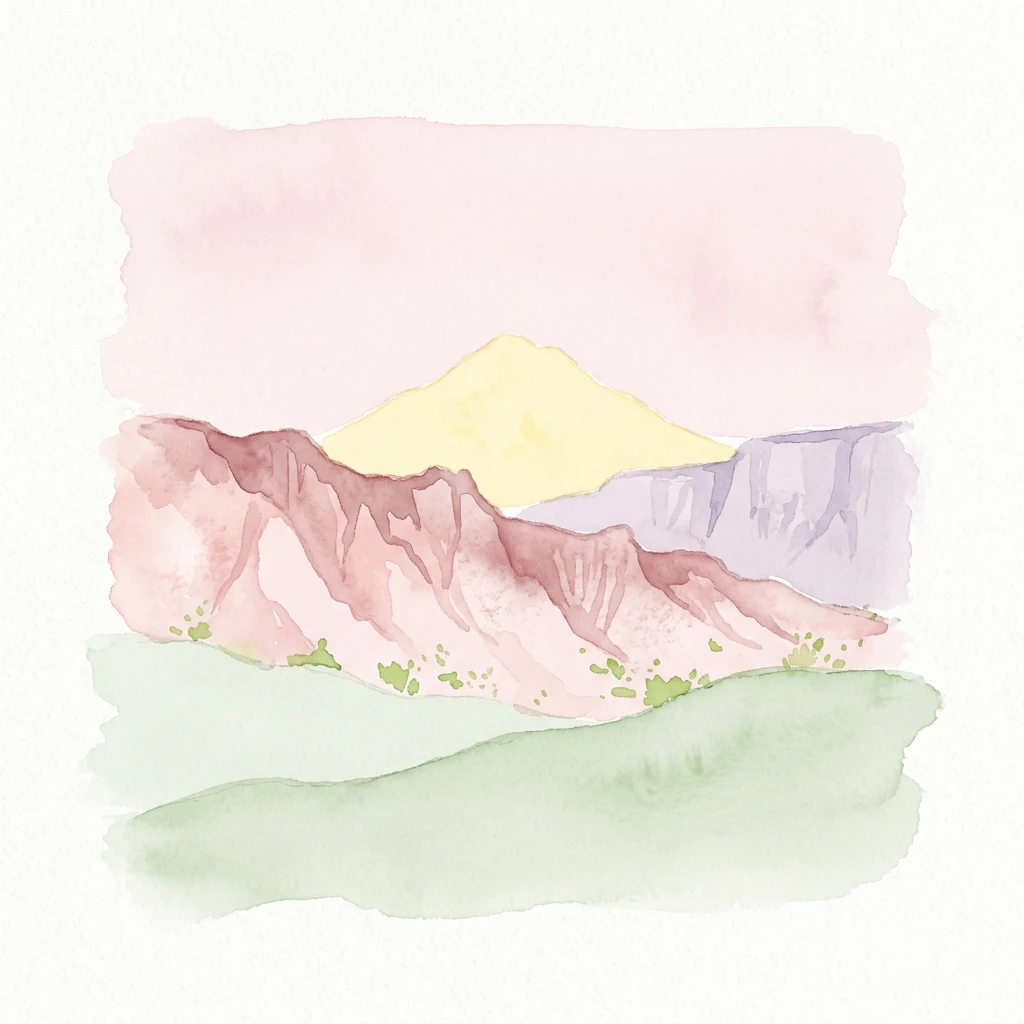
Watercolor painting depicting a mountain with pink, yellow, purple, and green layers
National parkAlmaty RegionMountain

Altyn-Emel National Park

Explore unique geological wonders and ancient Saka history.

Discover Altyn-Emel National Park, a prominent national park located in Kazakhstan's Almaty Region. This protected area showcases an extraordinary diversity of landscapes, from the echoing Singing Dunes to the otherworldly Aktau mountains, often referred to as the 'lunar mountains' due to their vivid mineral hues. As a vital conservation zone, it safeguards Central Asian steppe ecosystems and significant Iron Age archaeological sites, offering a rich tapestry of natural beauty and historical depth for atlas exploration.

4,600 km²1996AridModerate access
National parkPima CountyMountain

Saguaro National Park

Explore the natural terrain and regional context of this national park.

Saguaro National Park offers a focused exploration of a specific protected landscape, highlighting its unique geographic features and mapped boundaries within Pima County. This detail page provides an atlas perspective, allowing for a deep dive into the park's natural terrain and its regional significance. Understand the protected area's identity and its place within the wider geographical context.

371.16 km²1994AridModerate access
National parkMorocco

Souss-Massa National Park

Explore vital protected areas and mapped natural terrain on the Atlantic coast.

Souss-Massa National Park is a critical national park situated along the Atlantic coast of Morocco. This protected landscape offers a unique atlas-style view of its diverse geography, including vital wetlands, sand dunes, and coastal steppe. Delve into the mapped boundaries and understand the park's ecological significance within Morocco's regional landscape context.

338 km²1991AridModerate access
Watercolor illustration of a lake with green islands, mountains in the background, and a purple and yellow sky
National parkBurgenland

Neusiedler See-Seewinkel National Park

Explore mapped wetland geography and birdwatching significance.

Neusiedler See-Seewinkel National Park showcases a rare steppe lake environment and extensive wetland habitats at the eastern edge of Austria, within the Burgenland region. This protected area is globally recognized for its exceptional avian diversity and the unique ecological mosaic formed by reed beds, salt marshes, and seasonal pools. Explore its mapped boundaries and distinctive Pannonian geography for a deep understanding of this vital European protected landscape.

97 km²1993IIMajor water bodies
Watercolor depiction of green and yellow rock formations with a winding river on a light background
National parkAlmaty RegionMountain

Charyn National Park

Explore its dramatic canyons and ancient Sogdian ash groves.

Charyn National Park offers a compelling exploration of Central Asia's dramatic natural heritage, centered around its spectacular canyon system. This protected area, situated in Kazakhstan's Almaty Region, features towering red rock walls and unique geological formations carved by the Charyn River. The park is also notable for preserving one of the world's northernmost stands of ancient Sogdian ash trees, a vital link to prehistoric ecosystems. Users can discover the park's mapped boundaries, diverse terrain, and distinct landscape features, making it a key destination for geographic and atlas-based discovery.

1,250 km²2004AridModerate access
National parkIran

Kavir National Park

Explore its arid terrain, conservation significance, and mapped boundaries.

Kavir National Park stands as a significant protected area within Iran, encompassing a vast 4,000 square kilometer expanse of desert and steppe landscapes on the western flank of the Kavir Desert. Designated as a national park, it plays a crucial role in preserving one of the Middle East's most extensive arid ecosystems and serves as a critical sanctuary for endangered species, including the Asiatic cheetah and Persian leopard. Its stark, open terrain offers a profound example of Iran's natural heritage and provides essential data for understanding regional geography and protected land distribution.

4,000 km²1982AridAccess unknown
Protected landscapeFujianMountain

Wuyi Mountains

Mapped boundaries, regional geography, and ancient landscape context.

The Wuyi Mountains in Fujian, China, are a crucial protected landscape, recognized for their exceptional subtropical forest biodiversity and iconic Danxia landforms. This destination offers a detailed exploration of its mapped geography, including the striking red sandstone cliffs, meandering river valleys, and significant cave systems. Understand the park's protected boundaries and its role as a vital natural and cultural heritage site within China's regional geography, perfect for atlas-based discovery.

1,278.63 km²1999SubtropicalModerate access
Related environmental topics

How moisture gradients, elevation changes, and soil chemistry shape neighboring communities.

Steppe Habitat in National Parks and Protected Areas and Related Ecosystems

Comparing adjacent habitats in protected areas helps observers trace how subtle shifts in climate and hydrology alter vegetation patterns. Mapping environmental transitions and shared soil controls highlights ecological connections without blurring the unique boundaries of each community.

Grassland habitat

Grassland habitat is a recurring ecological setting across protected areas. Understanding its climate, vegetation, wildlife, soils, water, and seasonal dynamics helps explain why parks with the same habitat can still look and function differently.

641 represented parks

Desert habitat

Desert habitat is a recurring ecological setting across protected areas. Understanding its climate, vegetation, wildlife, soils, water, and seasonal dynamics helps explain why parks with the same habitat can still look and function differently.

128 represented parks

Shrubland

Shrubland is a recurring ecological setting across protected areas. Understanding its climate, vegetation, wildlife, soils, water, and seasonal dynamics helps explain why parks with the same habitat can still look and function differently.

333 represented parks

MoriAtlas Explorer

Continue Exploring Protected Area Ecosystems and Habitat Types

Deepen your understanding of worldwide park geography through the MoriAtlas ecological index. Compare how fire, flooding, and soil chemistry differentiate forest, wetland, and tundra habitats to better interpret the complex environmental architecture of protected regions.

Global natural geography