

Why Pribaikalsky National Park stands out
Pribaikalsky National Park is best known for encompassing the largest protected section of Lake Baikal's shoreline, including about 470 kilometers of the western coast and all of Olkhon Island. It is recognized for an unusual combination of rift landscapes, mountain steppe, taiga, and the unique ice-free wintering site for waterfowl at the Angara source, where over ten thousand ducks survive the Siberian winter in a giant polynya. The park is also notable for the juxtaposition of dramatic scenery with culturally important sites, including the Circum-Baikal Railway and numerous ancient archaeological monuments along the Pribaikalye coast.
Pribaikalsky National Park history and protected-area timeline
National parks as a category emerged in the Soviet Union in the early 1980s, and Pribaikalsky was among the very first to be established. It was created on 13 February 1986 by a resolution of the Council of Ministers of the Russian SFSR, during the height of public concern over the ecological fate of Lake Baikal. In 1996, ten years after its founding, the park was included as a component of the 'Lake Baikal' UNESCO World Heritage Site, gaining international recognition for its natural significance.
In 1989, the design institutes Rosgiproles in Moscow and Lengiprogor in Leningrad jointly developed the general plan for the park, which divided the area into functional zones with different levels of protection and use. This plan established the framework of strict conservation zones, regulated recreation zones, intensive recreation zones, traditional-use zones, and an agricultural zone for lands retained in farming. Since then, the park has been part of broader Baikal-region environmental monitoring programs and has participated in numerous national and international research collaborations.
The park's modern importance lies both in its ecological role and in its continuing tradition of supporting local communities, traditional livelihoods, and growing public recreation along the western shore of Lake Baikal, while safeguarding the area's biodiversity and archaeological monuments for future generations.
Pribaikalsky National Park landscape and geographic character
The physical setting of Pribaikalsky is shaped by the Baikal rift system, whose ongoing tectonic activity continues to mold the terrain. The park lies across the northwest slopes of the Baikal depression and onto the surrounding ridges. Negative landforms prevail over summits, and the major structural control is the Obruchev fault, the largest fault in the region, which runs through the park and produces steep scarps falling sharply into the lake.
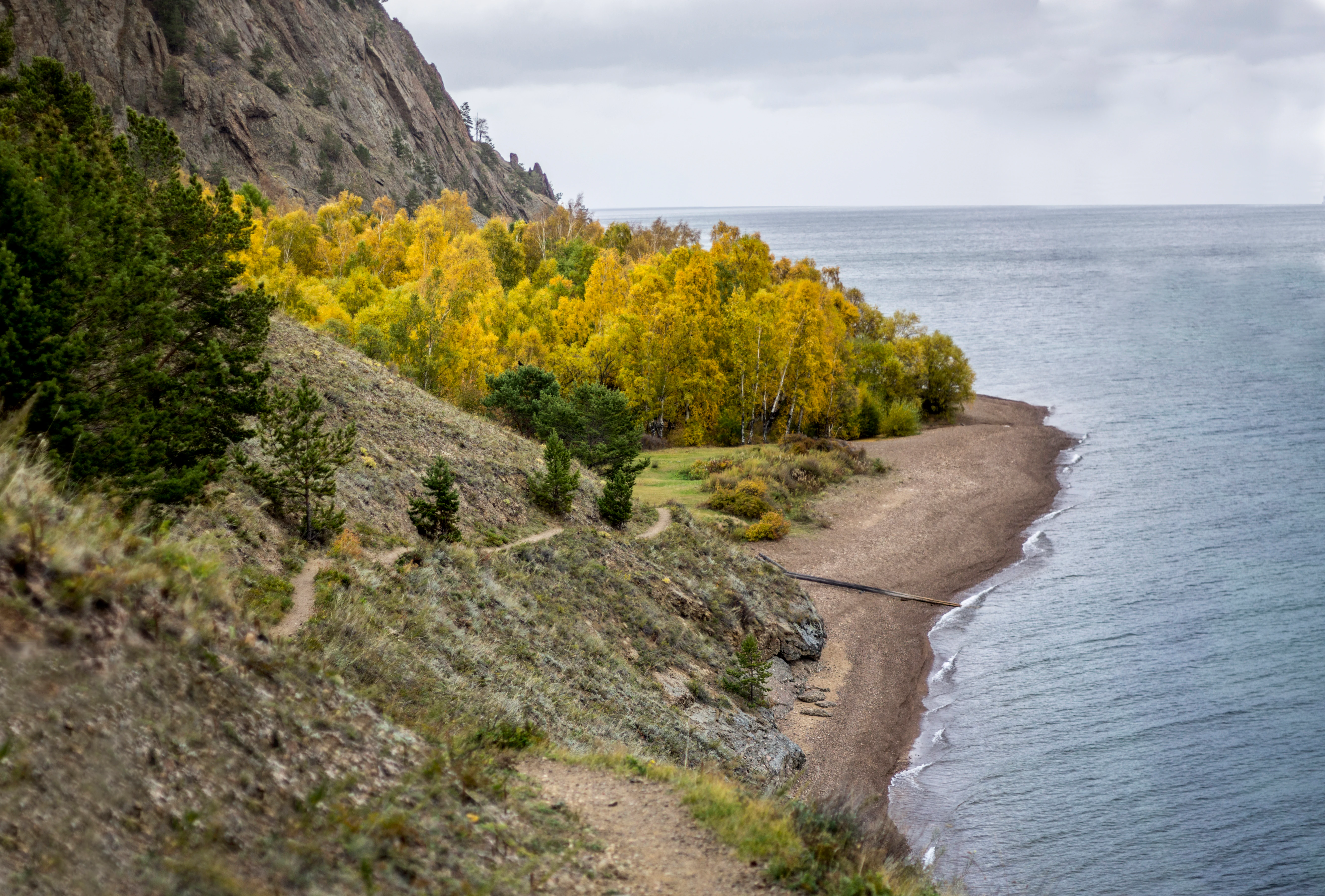
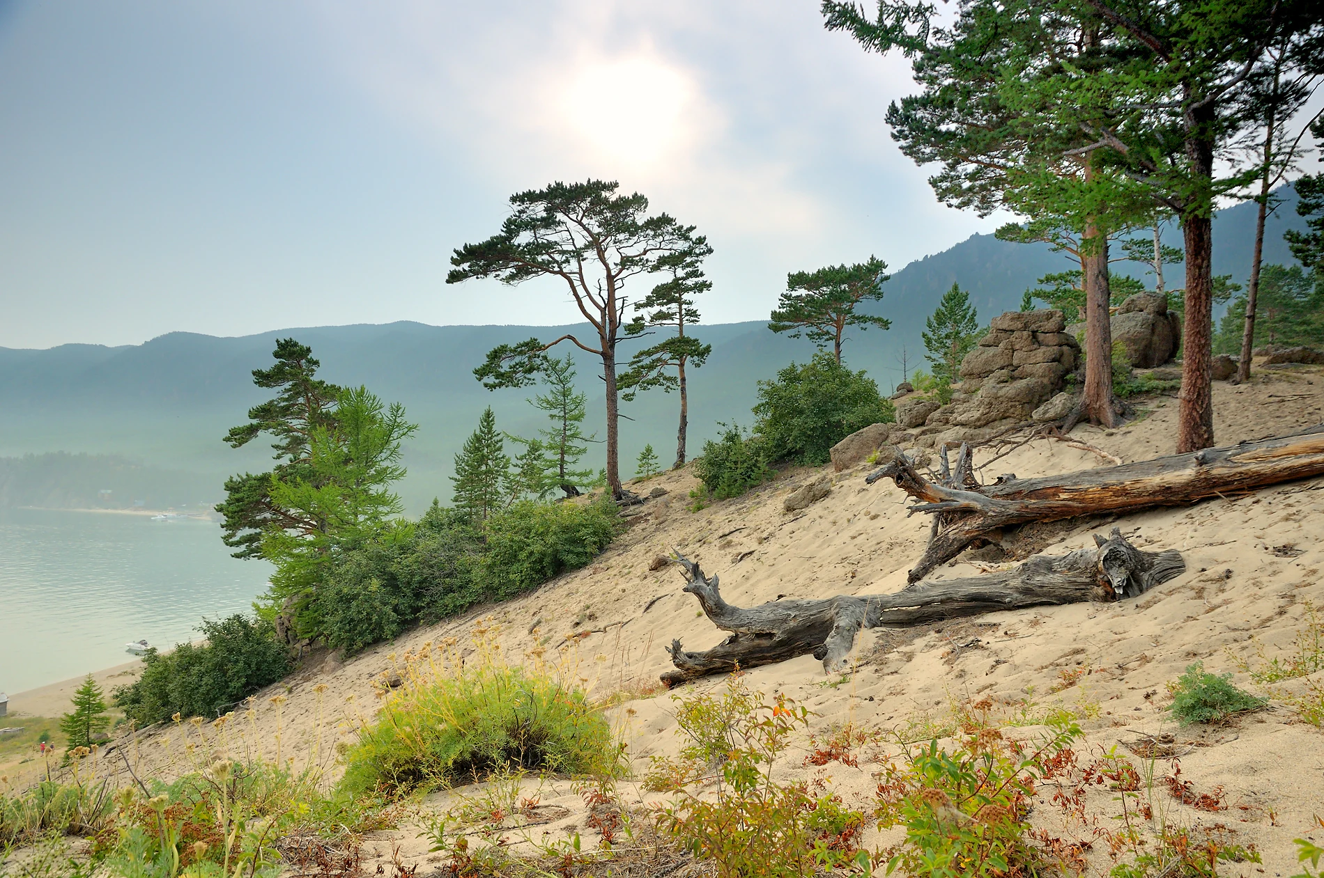
Along the coast the terrain shifts abruptly between dramatic cliffs carved by wind and waves around Peschanaya Bay and Sagan-Zaba, and gentler sections dominated by rocky steppes, sandy expanses, and the sheltered straits of Maloe More. Inland, the eastern slopes of the Primorsky Range rise behind the shore, while the southern Olkha Plateau forms an elevated plain of weathered rock and relict soils. Local rivers such as the Golooustnaya, Buguldeika, Anga, Sarma, and Bolshaya Polovinnaya have cut long valleys into the highlands, producing a deeply dissected relief despite a total altitudinal range of only about 900 meters. Olkhon Island adds a distinctive plateau-landscape of its own, with steppe, sandy dunes, and rocky capes on the western side of Baikal.
Pribaikalsky National Park ecosystems, habitats, and plant life
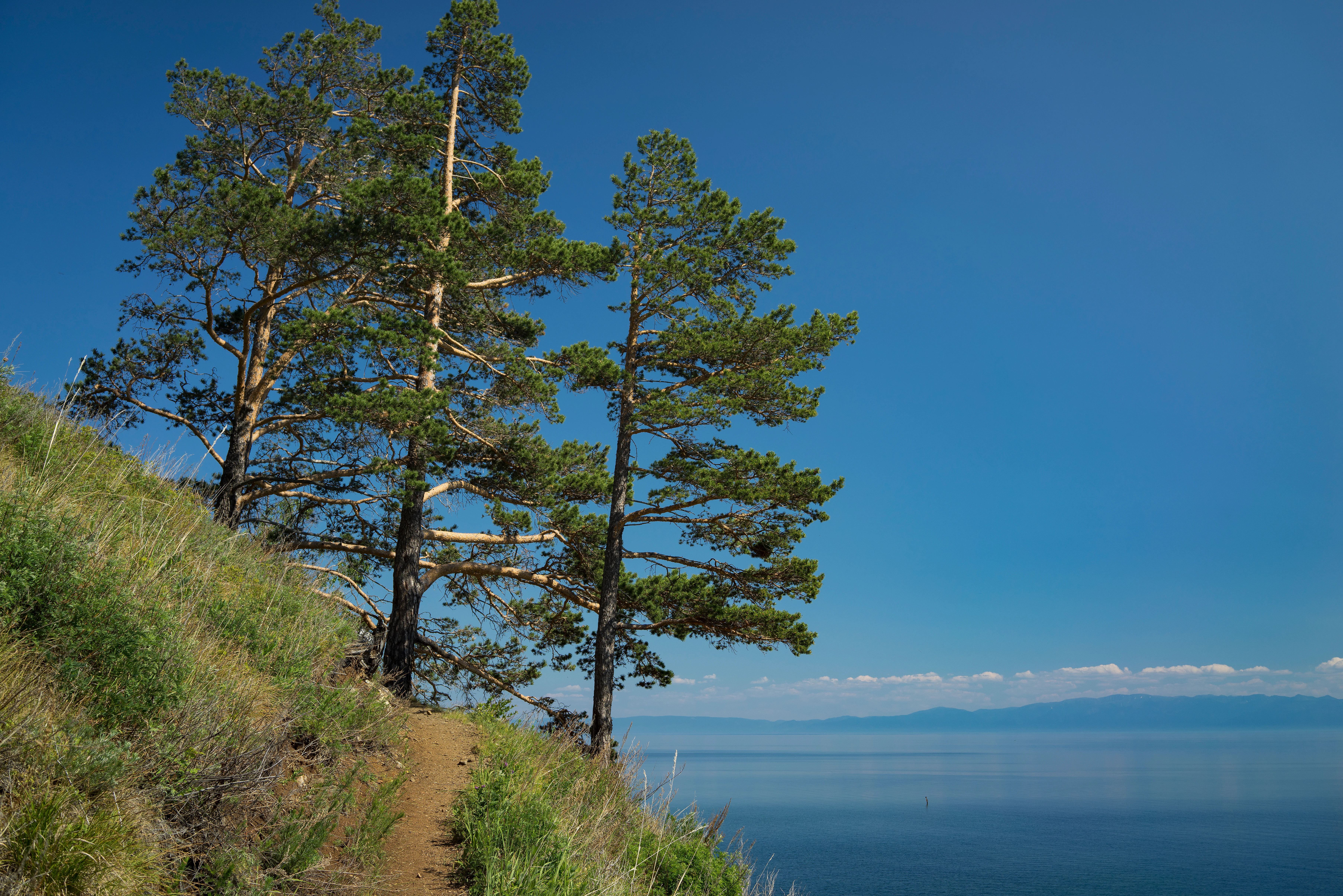
Pribaikalsky encompasses one of the most ecologically diverse protected areas of southern Siberia. More than 300,000 hectares of its land area is forested, dominated by light coniferous taiga with Scots pine, Siberian larch, and Siberian pine, and significant areas of dark coniferous cedar, fir, and spruce forest at higher elevations. Steppe, forest-steppe, subtaiga, and mountain taiga vegetation belts all occur within the park, transitioning upslope into subalpine thickets of Siberian dwarf pine (Pinus pumila) and tundra communities on the highest watersheds.
The plant life is exceptionally rich. The park contains over a thousand species of vascular plants, representing more than half of the flora of Central Siberia, along with roughly 250 lichen species and 200 moss species. Among the distinctive botanical features are coastal relict plant communities on the slopes of the Primolkhonye, with species descended from Arctic tundra, the steppes and deserts of Central Asia, and local Baikal endemics. Sandy dunes on Olkhon Island and the semi-desert steppes around the Tazheran saline lakes host further unusual assemblages. The Red Data Book of the Russian Federation lists 20 plant, lichen, moss, and fungal species found within the park, including the Baikal coastal endemic Astragalus olchonensis, the shining cotoneaster Cotoneaster lucidus, and several orchid species.
Rivers, lakes, wetlands, and the lake itself add hydrological diversity. The well-developed river network is fed mainly by rainfall, and most streams are short with mountain characteristics. The Angara River, the only outflow of Lake Baikal, remains partly ice-free in winter, and along with associated shallows, bays, and the saline Tazheran lakes, supports rich wetland and shoreline vegetation communities.
Pribaikalsky National Park wildlife and species highlights
The park's animal life reflects its position at the meeting point of several faunal regions and includes 55 to 59 mammal species, around 340 bird species, 9 amphibian and reptile species, and roughly 40 fish species. Brown bears, moose, Siberian red deer, and roe deer inhabit the forests, while the dense mountain taiga shelters typical Siberian species such as the Siberian flying squirrel, Siberian chipmunk, sable, musk deer, the spotted nutcracker, Siberian jay, and three-toed woodpecker.
Lighter pine and larch forests sustain red and grey-sided voles, the large-toothed shrew, the East Asian wood mouse, capercaillie, the Ural owl, and various thrushes. Mixed and forest-steppe formations host the Siberian mole, birch mouse, badger, wild boar, black grouse, and Eurasian jay. Where vegetation turns into steppe and rocky habitat, ground squirrels, pikas, and steppe birds live alongside forest raptors.
The park's most famous zoological feature is the largest waterfowl wintering area in Eastern Siberia, located at the ice-free Angara outlet of Lake Baikal. Tens of thousands of ducks, including common goldeneyes, tufted ducks, scaup, long-tailed ducks, smew, red-breasted and common mergansers, and mallards, gather there in winter. The southwestern Baikal shore also forms a major autumn migration corridor for raptors, with up to two thousand birds of prey passing per day in peak season.
Pribaikalsky National Park conservation status and protection priorities
Pribaikalsky National Park plays a critical role in preserving the ecological integrity of the western Baikal coast. Its territory secures the largest single protected section of Lake Baikal's shoreline, representing roughly a quarter of the lake's total coastal length and exceeding the combined shoreline protection of the Zabaikalsky National Park, the Baikal-Lensky Reserve, and the Barguzinsky Reserve. The park safeguards high concentrations of rare and endemic species of plants, lichens, mosses, mammals, birds, and fish, including dozens of species listed in the Red Data Book of the Russian Federation and relevant IUCN red lists.
Its significance extends to geological and hydrological heritage as well. The protected area includes rift-related landforms, mineral-rich rocky outcrops such as Cape Ulan-Nur where over 120 minerals have been identified, spring systems, the unique Tazheran lakes, the Shaman Stone at the Angara source, and ancient Baikal river valleys. By managing landscapes, faunal populations, and water resources under a coordinated zoning system, the park functions as one of the most comprehensive conservation units in the entire Baikal basin, supporting long-term scientific monitoring, biodiversity protection, and ecosystem resilience around the world's deepest and most voluminous freshwater lake.
Pribaikalsky National Park cultural meaning and human context
The Pribaikalye region has been inhabited for thousands of years and the park's territory preserves a dense concentration of archaeological sites. Local Buryat, Russian, and earlier indigenous communities have long been connected to the western Baikal shore, with traditional livelihoods centered on fishing, small-scale farming, and seasonal land use. The park continues to accommodate resident populations and traditional uses within its agricultural and traditional-use zones, an arrangement that distinguishes it from the stricter zapovednik nature reserves elsewhere in Russia.
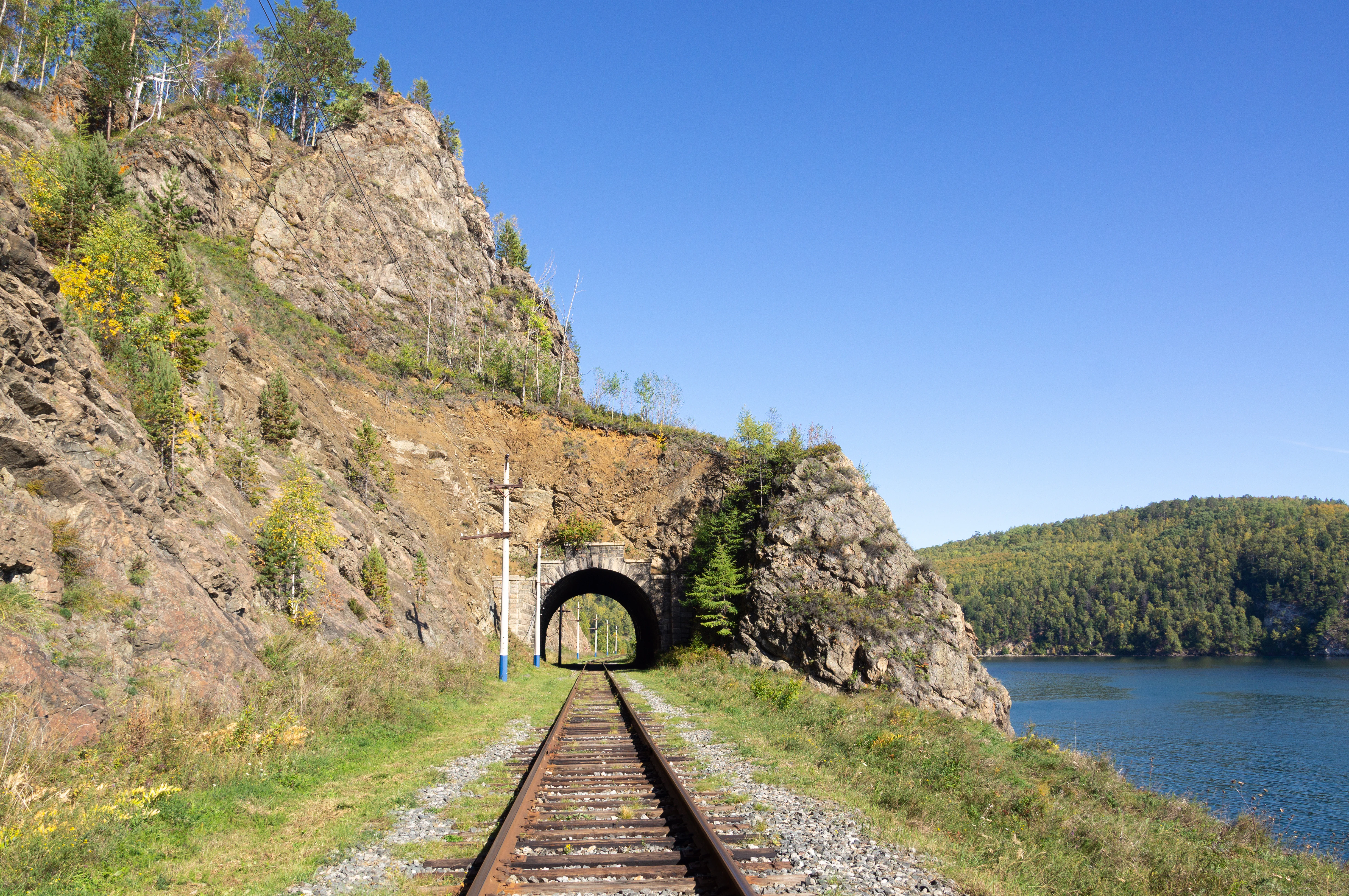
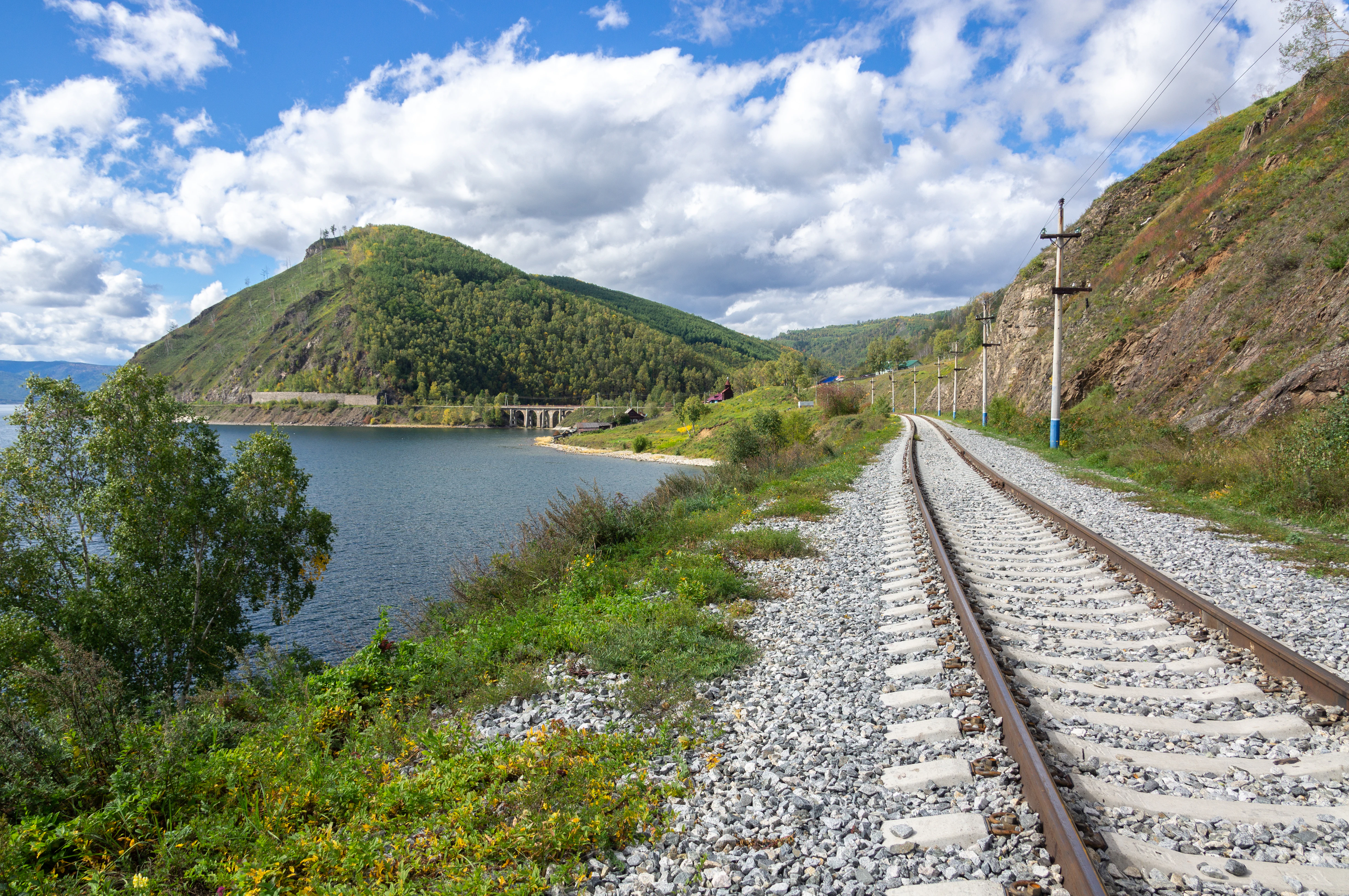
Among the historic landmarks, the most striking is the Circum-Baikal Railway, an engineering marvel of the early twentieth century that follows the steep southwestern shore of Baikal through tunnels, bridges, and dramatic rock cuts. Sacred natural sites such as Cape Burkhan and the Shaman Stone on Olkhon Island carry deep shamanist and cultural meaning for Buryat and other local peoples. The combination of long human presence, ongoing local life, and major heritage features makes the park a place where natural and cultural conservation overlap closely.
Top sights and standout views in Pribaikalsky National Park
Pribaikalsky National Park's most distinctive appeal lies in the sheer contrast packed into its long, narrow territory: Lake Baikal's iconic shoreline, the windswept steppes and sand dunes of Olkhon Island, deep coniferous taiga climbing the Primorsky Range, tundra patches on high watersheds, and the legendary ice-free wintering waters of the Angara source. The park is also notable for the fusion of natural wonders with human heritage, from the engineering marvel of the Circum-Baikal Railway to numerous ancient archaeological sites scattered along the coast, all under the protection of one of Russia's earliest national parks.
Best time to visit Pribaikalsky National Park
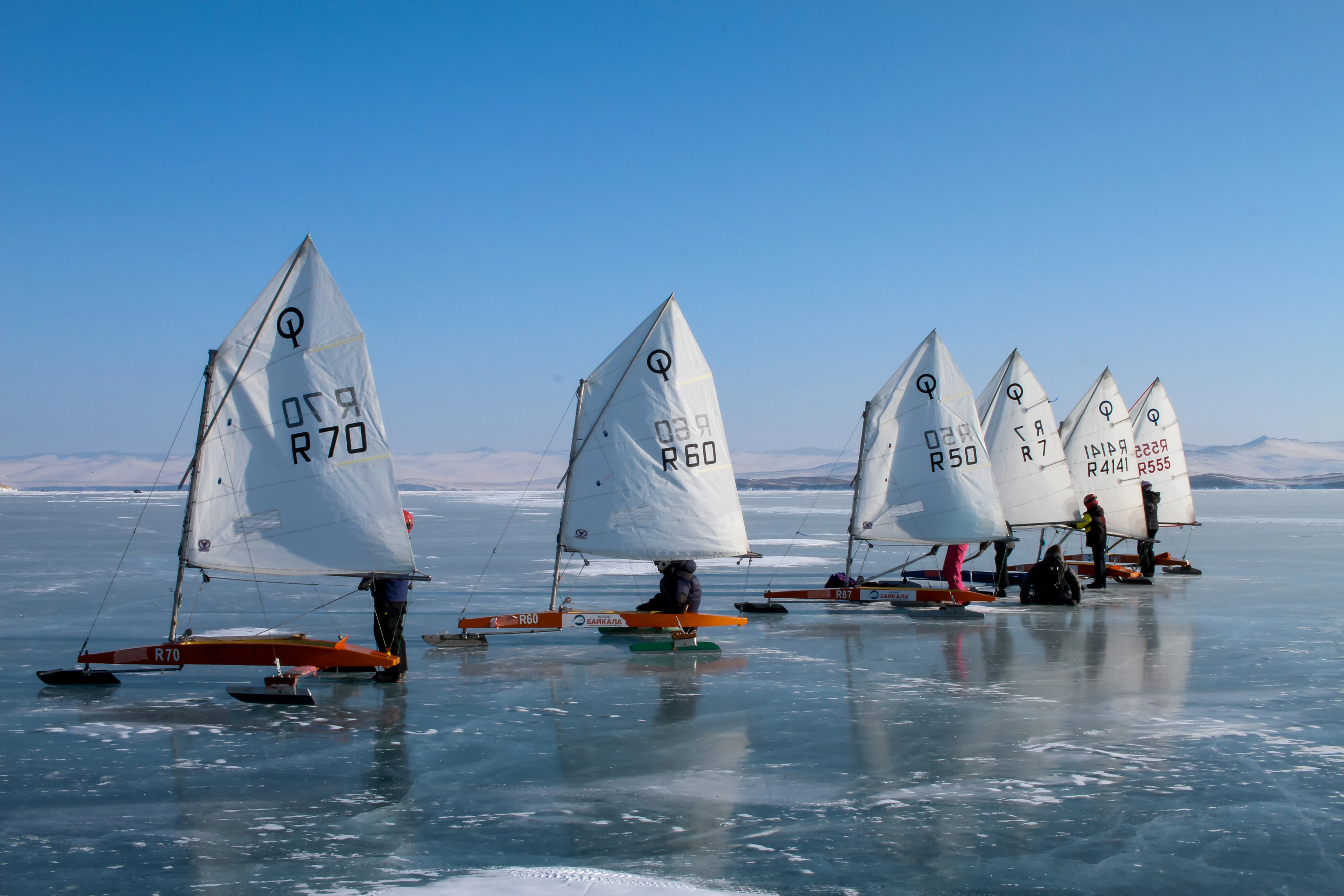
The most visited season at Pribaikalsky is summer, especially July and August, when the weather is mild, the lake becomes accessible for swimming and boat trips, and the Circum-Baikal Railway is in operation. Autumn brings vivid color to the taiga and the spectacular raptor migration along the southwestern coast, while winter reveals the unique waterfowl gathering at the unfrozen stretch of the Angara, the clearest ice formations on Lake Baikal, and excellent conditions for ice-based travel. Spring is the quietest season, with thawing landscapes, rising water levels, and an emerging bloom of steppe and forest vegetation.