Mori Atlas logo
Glacial122 represented parks35 countries

Understanding ice-dominated ecosystems, primary succession, and cold-adapted wildlife patterns.

Glacial Habitat in National Parks and Protected Areas: Ecological Patterns and Mapped Landscapes

Glacial habitat represents a complex ecological setting defined by ice-dominated terrain, snowfields, and active meltwater systems. This overview explores how these environments support specialized microbes, insects, and mountain wildlife across diverse protected areas globally. By examining structure and process rather than simple scenery, the content helps clarify how glacial zones transition into alpine meadows and tundra, providing essential context for comparing landscape development in global parks.

Related tags

glacial habitatpolar alpinepark habitatsprotected ecosystems
Habitat setting

Persistent cold, unstable moraines, and meltwater dynamics dictate these ecological boundaries

Glacial habitat in national parks and protected areas and its environmental settings

Glacial habitat consists of ice-dominated and recently deglaciated environments associated with glaciers, snowfields, moraines, and active meltwater systems. Persistent cold, unstable substrates, and braided drainage networks control biological productivity while shaping transition zones into alpine meadows.

Habitat definition

Glacial habitat is ice-dominated and recently deglaciated habitat associated with glaciers, snowfields, moraines, and meltwater. The category describes a broad ecological pattern, so local examples may contain several communities and transitional zones.

Classification normally relies on several signals together: dominant life forms, vegetation structure, water regime, climate, soils, disturbance, and spatial continuity. A single plant species or scenic impression is rarely enough. The broad category is intended for atlas discovery, while detailed ecological surveys may divide it into many narrower communities.

A consistent definition also prevents broad scenery terms from being mistaken for evidence that the habitat occupies an entire park.

Climate relationship

Persistent cold and snow accumulation are interrupted by short melt seasons and intense radiation. Climate controls productivity, water availability, disturbance, and the timing of biological activity.

Climate acts through both averages and extremes. A short drought, late frost, heatwave, storm, low-snow winter, or unusual flood can influence survival and regeneration more strongly than a small change in the annual mean. Elevation, slope, water, canopy, and coastlines create local refuges within the broader zone.

Local refuges may buffer short-term extremes, but sustained changes in temperature or moisture can eventually exceed that protective capacity.

Soils and hydrology

Common physical conditions include ice, bare rock, unstable moraine, thin young soils, braided meltwater, and proglacial lakes. These conditions influence rooting, nutrients, water storage, and habitat boundaries.

Soils and water provide the habitat’s less visible foundation. Texture, organic matter, oxygen, salinity, acidity, nutrients, rooting depth, and groundwater position control productivity and species composition. Surface vegetation can remain temporarily while degradation below ground reduces long-term resilience.

Changes to drainage, sediment, groundwater, or soil disturbance can therefore transform the habitat even before vegetation loss becomes visually obvious.

Ecological community

Successional pioneer plants and wildlife adaptations driving seasonal cycles

Glacial habitat in national parks and protected areas: ecosystem function and vegetation

Primary ecological processes like sediment release, freeze-thaw cycles, and nutrient movement establish the foundation for primary succession on newly exposed moraines. Pioneer vegetation and cold-adapted wildlife rely on shifting environmental boundaries during brief seasonal melt cycles to secure food, shelter, and breeding sites.

Ecological processes

Key ecological processes include ice flow, melting, freeze-thaw, sediment release, and primary succession constantly create new surfaces. Their relative importance changes with geography, disturbance history, and landscape connectivity.

Energy and nutrients move through producers, consumers, decomposers, water, and soil at rates set by temperature and moisture. Disturbance can reset part of the system while leaving refuges that support recovery. The timing, size, and frequency of those events often matter more than whether disturbance occurs at all.

The balance among productivity, decomposition, competition, predation, and disturbance determines whether the habitat persists, shifts, or fragments.

Vegetation structure

Typical vegetation includes snow algae, lichens, mosses, pioneer herbs, sparse alpine plants, and vegetation on older moraines. Plant structure varies with moisture, soils, elevation, disturbance, and succession.

Vegetation should be described through layers, density, height, seasonality, and functional adaptations rather than as a universal species list. Dominant plants create shade, litter, shelter, fuel, roughness, and rooting structure, while smaller plants occupy gaps, edges, wet pockets, or disturbed surfaces.

Structure is as important as species identity because canopy layers, ground cover, and patchiness shape microclimate and available wildlife niches.

Wildlife relationships

Characteristic wildlife may include cold-adapted microbes, insects, mountain birds, ungulates at margins, and aquatic life in meltwater. Individual parks support different species, but similar ecological roles recur across the habitat.

Wildlife use is rarely uniform across the habitat. Some species depend on interior conditions, others on edges, water, old trees, bare ground, seasonal food, or temporary disturbance patches. Mobile animals may use glacial habitat for only one stage of breeding, migration, feeding, shelter, or dispersal.

Resident, migratory, and seasonally visiting species may rely on different parts of the habitat, so a single species list cannot describe its full value.

Seasonal dynamics

Accumulation, melt, runoff, calving, snow cover, and brief biological activity follow strong cycles. These changes affect food, cover, breeding, migration, fire, and visibility.

Seasonality affects not only appearance but ecological opportunity. Food, nesting sites, shelter, oxygen, water depth, fire risk, and movement corridors may become available for short periods. Species often survive unfavorable months through migration, dormancy, stored reserves, underground stages, or use of neighboring habitats.

These cycles affect detectability as well as ecology: the same habitat may appear sparse, flooded, dormant, or exceptionally productive at different times.

Conservation and global context

Evaluating ecological resilience, water regulation, and cumulative pressures in fragile cold zones

Glacial habitat in national parks and protected areas: conservation and global protection

Glacial systems provide essential cold refuges, freshwater reserves, and critical connectivity for specialized ecological communities in high-altitude parks. Protected-area management focuses on sustaining catchment processes, though cumulative pressures like altered runoff and ice loss require adaptive landscape conservation.

Ecological importance

Glacial habitats provide cold refuges, freshwater, new succession surfaces, and records of environmental change. Its value depends on intact processes and connections with neighboring habitats.

Importance can arise from high diversity, rare specialists, large populations, connectivity, water regulation, carbon storage, soil protection, or support for neighboring ecosystems. Naturally species-poor habitats may still be irreplaceable because their physical conditions and evolutionary communities occur nowhere else.

Its significance should be evaluated through these functions and landscape connections rather than through area or species richness alone.

Threats and pressures

Important pressures include rapid ice loss, unstable slopes, altered runoff, disturbance, pollution, and loss of cold-dependent habitat. Their severity varies by region and should not be assumed to be equal in every park.

Pressures often interact. Fragmentation can limit recovery after fire, pollution can intensify low-flow stress, invasive species can alter fuel, and climate change can magnify drought or flooding. Listing drivers separately is useful, but management must consider their combined effect and the habitat’s recovery rate.

Pressures can reinforce one another, making cumulative effects more consequential than any single threat considered in isolation.

Conservation approaches

Common approaches include protecting glacier catchments, forelands, meltwater systems, and space for ecological succession. Management works best when it addresses both the habitat patch and the wider landscape processes that sustain it.

Restoration targets should focus on process and resilience, not only a preferred visual state. Reconnecting water, movement, sediment, fire, grazing, or succession may allow native communities to reorganize naturally. Where key species or seed sources are missing, more active intervention can be necessary.

Management outcomes should be measured through ecological condition and recovery, not merely the number of interventions completed.

Recognizing the habitat in parks

Visitors can observe ice, moraine, pioneer life, meltwater, and the transition from frozen to vegetated terrain. These observable patterns help connect the habitat's appearance with its ecology.

Useful interpretation points to structure and evidence: canopy layers, plant spacing, water marks, soil moisture, tracks, burrows, deadwood, flowering, grazing, or transitions into tundra, alpine meadow, lacustrine. These clues help readers understand function rather than memorize a list of organisms.

Responsible interpretation should help visitors recognize habitat structure and sensitivity without implying guaranteed wildlife sightings or unrestricted access.

Global distribution

The habitat occurs across polar ice margins and high mountain systems worldwide. Regional forms differ in species composition while sharing broad ecological structure.

Distribution maps should distinguish broad potential range from confirmed habitat condition. Climate and landform may permit the habitat across a large region, while land use, disturbance, isolation, or water change restrict intact examples to smaller areas. Protected parks represent only part of the global pattern.

Protected examples are unevenly documented, so distribution summaries should distinguish ecological range from the current contents of the park database.

Global park examples

Representative examples include Los Glaciares, Vatnajökull, Glacier, and Sagarmatha national parks. They illustrate geographic variety rather than a complete ranking of habitat sites.

The examples demonstrate different regional forms rather than defining a universal species composition. One park may show a large intact core, another an elevational transition, and another a habitat shaped by fire, flood, grazing, coast, or ice. Their comparison should focus on ecological structure and process.

Examples should remain geographically balanced and be treated as illustrative evidence, not as a ranking of the world's most important sites.

Representative parks

Compare ice-dominated ecosystems across different global climates, terrains, and mountain ranges.

Discovering Glacial Habitat in National Parks and Protected Areas

Connecting global habitat datasets with real-world protected areas helps map how ice sheets, moraines, and meltwater zones shape active mountain networks. Deeper exploration reveals how these glacial zones vary across latitudes, though they usually exist as transitional, seasonal pockets rather than uniform park landscapes.
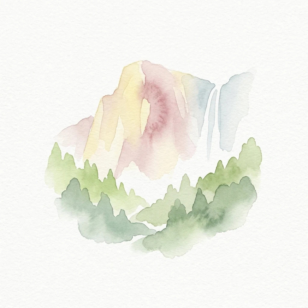
Watercolor painting showing a mountain with a waterfall and surrounding forest
National parkCaliforniaMountain

Yosemite National Park

Mapped boundaries and regional setting for a key California national park.

Delve into the protected landscape identity of Yosemite National Park, examining its specific geographic features and its place within the broader atlas of California's natural areas. This entry provides detailed context on its mapped boundaries, regional positioning, and significance as a protected natural site, essential for understanding its landscape and conservation geography.

3,070 km²1890MediterraneanEasy access
National parkCanadaMountain

Banff National Park

Mapped park boundaries and regional geographic context for Banff National Park.

Gain a structured understanding of Banff National Park as a key protected area within Canada. This resource details its identity as a national park, providing insights into its geographic setting and mapped landscape. It serves as a vital point for atlas-based discovery, helping to contextualize Banff National Park's significance within Canada's protected lands and natural terrain.

6,641 km²1885SubpolarEasy access
National parkSouthland RegionMarineMountain

Fiordland National Park

Explore its vast boundaries and unique temperate rainforest.

Fiordland National Park, located in the Southland Region of New Zealand, is a testament to dramatic geological forces, featuring fifteen major fiords like Milford Sound, whose Mitre Peak rises majestically from the water. This protected national park encompasses an immense wilderness of alpine terrain, ancient beech forests, and numerous waterfalls, fueled by exceptional rainfall. Its inclusion in the Te Wāhipounamu World Heritage Area underscores its global significance for biodiversity and natural landscape preservation.

12,607 km²1952TemperateModerate access
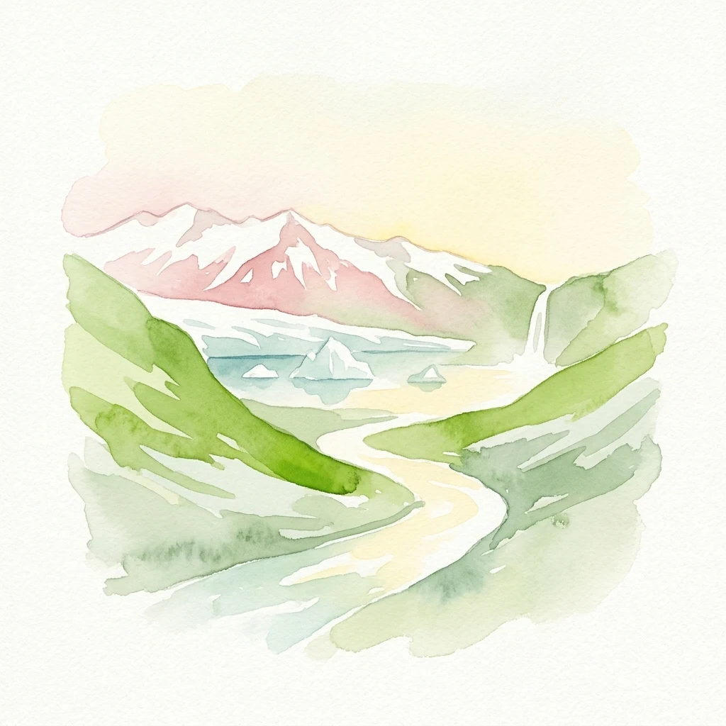
Watercolor illustration showing snow-capped mountains, green hills, a winding river, and a waterfall
National parkIcelandMountain

Vatnajökull National Park

Mapped boundaries of a UNESCO World Heritage site dynamic with fire and ice.

Vatnajökull National Park offers a profound exploration of one of Earth's most dynamic natural environments. This Icelandic national park protects the vast Vatnajökull ice cap, a landscape shaped by active volcanoes and powerful glacial forces, creating a region of extraordinary geographic diversity. Discover the mapped terrain, from subglacial mountain ranges to dramatic caldera systems, and understand the unique protected area context of this significant European natural heritage.

14,967 km²2008SubpolarRemote access
National parkCanterbury RegionMountain

Aoraki / Mount Cook National Park

Mapped glacial terrain and mountain peaks in the Canterbury Region.

Delve into the heart of New Zealand's alpine grandeur with Aoraki / Mount Cook National Park. This page offers an atlas-style exploration of its protected boundaries, dramatic glacial formations like the Tasman Glacier, and the towering peaks of the Southern Alps. Understand the park's significant geographic context within the Canterbury Region and discover the mapped landscape that defines this premier national park.

707 km²1953AlpineEasy access
National parkAustraliaMarineMountain

Kakadu National Park

Explore Kakadu National Park's mapped boundaries and natural terrain.

Kakadu National Park stands as a significant national park entity within Australia, providing rich geographic context for atlas discovery. This page details the park's protected area identity, its mapped natural landscapes, and its place within the broader Australian continent's geography. Understand the unique regional setting and the specific topographic features that define Kakadu National Park for detailed exploration and comparative geographic analysis.

19,804 km²1979TropicalModerate access
National parkKoshi ProvinceMountain

Sagarmatha National Park

Explore the protected area's regional geographic context.

Sagarmatha National Park serves as a distinct protected national park entity. This page facilitates an in-depth understanding of its mapped boundaries and its location within Koshi Province. Users can explore the park's specific landscape characteristics and its position within the broader regional geography, providing a foundation for atlas and map-driven discovery.

1,148 km²1976AlpineII
National parkArgentinaMountain

Los Glaciares National Park

Explore glacial terrain and iconic Andes peaks.

Los Glaciares National Park is a vast protected area in Argentina, dominated by a massive Patagonian ice cap and numerous descending glaciers, including the renowned Perito Moreno Glacier. Its dramatic landscape of ice fields, glacial lakes, and towering granite spires like Mount Fitz Roy provides critical context for understanding regional geography and the formation of glacial terrain. This park exemplifies the unique protected ecosystems of the southern Andes, offering rich detail for atlas-based discovery.

7,269.27 km²1937TemperateModerate access
National parkAlaskaMarineMountain

Wrangell–St. Elias National Park and Preserve

Mapped protected lands and regional landscape context.

Dive into the detailed geography of Wrangell, St. Elias National Park and Preserve, a prominent national park located in Alaska. This resource focuses on its extensive mapped boundaries and its role as a protected landscape, offering insights valuable for understanding regional geography and the distribution of natural areas.

53,320.6 km²1980SubpolarModerate access
National parkColoradoMountain

Rocky Mountain National Park

Explore its mapped boundaries and regional geographic context.

Rocky Mountain National Park is a designated National Park within Colorado, crucial for understanding the distribution and geographic context of protected areas in the United States. This detail page provides an atlas-oriented perspective, emphasizing the park's mapped boundaries and its place within the natural landscape of the region. It is designed to facilitate a clear understanding of the park's protected status and its contribution to the atlas of natural landscapes, offering factual insights for geographic discovery.

1,074.28 km²1915AlpineEasy access
National parkWashingtonMarineMountain

Olympic National Park

Explore its unique Washington landscape and mapped protected areas.

Olympic National Park serves as a key protected area within Washington, offering rich opportunities for geographic exploration. This detail page provides essential context on its designation as a national park, its mapped boundaries, and its contribution to the regional geography. Understand the park's specific landscape character and its role within the atlas of protected lands, facilitating a structured approach to discovering its natural terrain and geographic significance.

3,733.8 km²1938TemperateModerate access
National parkAlaskaMarineMountain

Glacier Bay National Park and Preserve

Mapped protected area context within Alaska's natural landscapes.

Glacier Bay National Park and Preserve serves as a vital protected landscape in Alaska, offering deep insights into regional geography and park boundaries. This detail page provides an atlas-centric view of the park, focusing on its role as a protected natural area and its unique position within the geographic tapestry of Alaska. Engage with structured data that illuminates the park's mapped terrain and its significance as a conservation landscape.

13,045 km²1980SubpolarRemote access
Related environmental topics

Tracking how elevation gradients and moisture transitions shape neighboring communities.

Glacial habitat in national parks and protected areas and related ecosystem transitions

Comparing adjacent ecological zones helps park explorers map how environmental gradients control plant communities and soil development. Recognizing gradual transitions clarifies the ecological mosaics of protected landscapes without erasing the distinct, ice-dependent features defining true glacial systems.

Tundra habitat

Tundra habitat is a recurring ecological setting across protected areas. Understanding its climate, vegetation, wildlife, soils, water, and seasonal dynamics helps explain why parks with the same habitat can still look and function differently.

90 represented parks

Alpine meadow

Alpine meadow is a recurring ecological setting across protected areas. Understanding its climate, vegetation, wildlife, soils, water, and seasonal dynamics helps explain why parks with the same habitat can still look and function differently.

571 represented parks

Lacustrine habitat

Lacustrine habitat is a recurring ecological setting across protected areas. Understanding its climate, vegetation, wildlife, soils, water, and seasonal dynamics helps explain why parks with the same habitat can still look and function differently.

892 represented parks

MoriAtlas Explorer

Continue Exploring Protected Area Ecosystems and Habitat Types

Deepen your understanding of worldwide park geography through the MoriAtlas ecological index. Compare how fire, flooding, and soil chemistry differentiate forest, wetland, and tundra habitats to better interpret the complex environmental architecture of protected regions.

Global natural geography