
Why Barrington Tops State Conservation Area stands out
The reserve is best known for its place within the Gondwana Rainforests of Australia, a chain of ancient forests stretching from Queensland south to the Barrington Tops northwest of Newcastle. The plateau landscape surrounding Mount Polblue and Polblue Swamp is a defining visual and ecological landmark, and the area is recognised for hosting an exceptional concentration of threatened plant and animal species. Its geological heritage, tied to the Eocene-era Barrington Volcano, also makes the region notable for the gemstone-forming processes that shaped its underlying rocks.
Barrington Tops State Conservation Area history and protected-area timeline
The land now forming Barrington Tops State Conservation Area was originally reserved as the Polblue and Barrington Tops Crown Reserves. In January 2003, these former reserves were reclassified and consolidated into a single State Conservation Area, aligning their management with New South Wales' broader system of protected landscapes. The establishment of the area as a State Conservation Area reflected both the ecological significance of the plateau habitats and the decision to retain a category of land where limited mining could continue, unlike in fully protected national park status.
The geological history of the region extends much further back. The underlying landscape was shaped by the Barrington Volcano, an Eocene-age volcanic centre whose activity influenced the mineralogy of the area. This deep volcanic legacy is the reason the Barrington Tops region, including the conservation area, is associated with deposits of zircon, sapphire, and ruby. The convergence of volcanic geology and upland rainforest climate makes the conservation area a landscape shaped by both ancient earth processes and ongoing ecological evolution.
Barrington Tops State Conservation Area landscape and geographic character
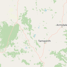
The conservation area lies on an elevated plateau within the Mount Royal Range, a spur of the Great Dividing Range in eastern New South Wales. The terrain is shaped by long weathering and erosion that has produced rounded ridges, broad plateau edges, and cooler highland basins. Mount Polblue, one of the area's notable high points, anchors the surrounding plateau scenery.
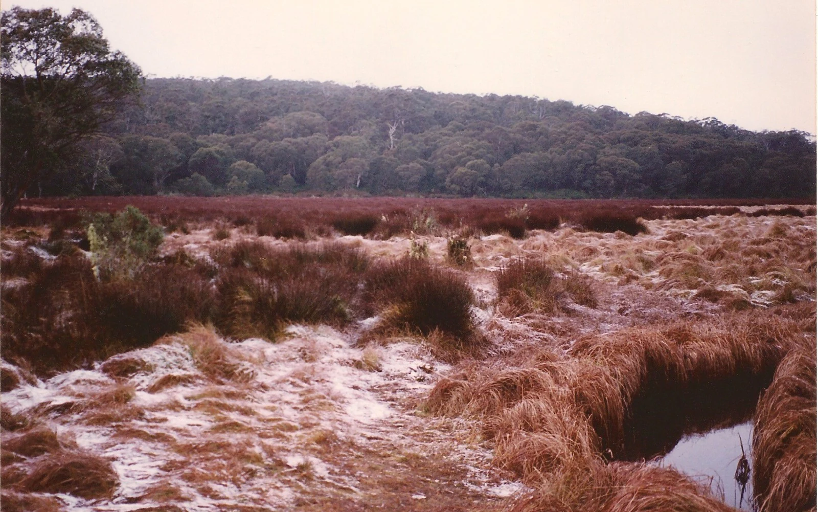
A defining feature of the plateau is Polblue Swamp, a high-altitude peat-forming wetland that exemplifies the cool, waterlogged conditions characteristic of the Barrington Tops. These swamps and surrounding subalpine hollows give the landscape a distinctive, open character, alternating with denser forest stands on the slopes. The combination of plateau meadow, swamp, montane forest, and rugged ridgeline produces a varied topographic profile despite the relatively compact area of 8,446 hectares.
Barrington Tops State Conservation Area ecosystems, habitats, and plant life
The reserve protects part of the broader Gondwana Rainforest system, a network of temperate and subtropical rainforests that extends from the Barrington Tops northwest of Newcastle up to Queensland. Within the conservation area, this takes the form of cool, moist temperate rainforest, montane eucalypt forest, and highland swamp communities. The combination of high elevation, high rainfall, and relatively intact vegetation supports communities that retain strong links to the ancient forests of the Gondwanan past.
The highland swamp environments, including Polblue Swamp, are particularly important ecological features. Sphagnum-dominated peatlands and seasonally inundated grasslands provide specialised habitat conditions distinct from the surrounding forests. The presence of these habitat mosaics contributes to the broader biodiversity significance of the Barrington Tops as a whole, supporting both cool-adapted rainforest species and open-country flora typical of the plateau.
Barrington Tops State Conservation Area wildlife and species highlights
Across the broader Gondwana Rainforests network that includes this conservation area, approximately 270 endangered plant and animal species are recorded. Within the conservation area itself, the cool highland forests and swamps support habitat for forest-dependent fauna typical of the Barrington Tops, including species associated with temperate rainforest understorey, ridge-top woodland, and highland wetland margins.
The conservation area's integration into this larger rainforest chain is ecologically significant: it maintains habitat continuity for species that depend on connected forest cover, and it provides refugia in cooler microclimates shaped by elevation and topography. Its wildlife significance is therefore closely tied to its role within a much larger mosaic of Gondwanan habitat rather than isolated patches of forest.
Barrington Tops State Conservation Area conservation status and protection priorities
The conservation area is part of the Gondwana Rainforests, an internationally recognised system of ancient forests spanning southeast Queensland into the Barrington Tops region northwest of Newcastle. This system is renowned for harbouring an exceptional concentration of threatened species, estimated at around 270 endangered plants and animals across the chain. Inclusion in this broader ecosystem elevates the conservation value of the reserve well beyond its 8,446-hectare footprint.
As a State Conservation Area, it sits within a tier of protection that aims to conserve biodiversity while permitting certain land uses, including mining, not allowed in fully protected national park tenures. The reserve nonetheless contributes to habitat connectivity across the Barrington Tops, linking montane forests, swamps, and ridges with the surrounding national park estate and reinforcing protection for one of the more ecologically significant upland regions of New South Wales.
Top sights and standout views in Barrington Tops State Conservation Area
Barrington Tops State Conservation Area stands out as a Gondwana Rainforests plateau reserve with strong habitat connectivity to Barrington Tops National Park. Its highland swamps, including Polblue Swamp beneath Mount Polblue, are defining landscape and ecological features. The geological legacy of the Eocene-aged Barrington Volcano adds an unusual dimension, linking the area to a documented history of zircon, sapphire, and ruby formation. Together these elements make the conservation area a compact but distinctive component of one of Australia's most ecologically important upland regions.
Best time to visit Barrington Tops State Conservation Area
Because the conservation area sits on a high, cool plateau, its character varies noticeably with the seasons. Cooler months typically bring crisper conditions, mistier mornings over the swamps, and active snow gums and highland views, while warmer months offer greener forests, fuller swamp margins, and more accessible walking conditions. Wildlife and forest scenery remain rewarding year-round thanks to the temperate climate and stable rainforest influence, though visitors should generally prepare for cooler weather than in the lowlands regardless of season.