Mori Atlas logo
National parkBile Ozero National Nature Park

Navigate the geographic context and mapped boundaries of this Ukrainian national park.

Bile Ozero National Nature Park: National Park protected landscape in Kyiv Oblast

Bile Ozero National Nature Park stands as a designated national park within the broader geographic expanse of Kyiv Oblast, Ukraine. This page serves as a portal for understanding the park's protected landscape identity, its mapped boundaries, and its role within the regional geography. Users can explore Bile Ozero National Nature Park through an atlas-driven lens, focusing on its landscape context and contributing to a structured understanding of protected areas.

Wetland ecosystemsLake habitatCentral UkraineNational parkProtected areaDnieper basin

Bile Ozero National Nature Park

National park

Park overview

Structured park overview, official facts, and landscape profile for Bile Ozero National Nature Park

Bile Ozero National Nature Park park facts, protected area profile, and essential visitor context
Review the core facts for Bile Ozero National Nature Park, including designation, size, terrain, visitor scale, habitats, and operating context in one park-focused overview.

About Bile Ozero National Nature Park

Bile Ozero National Nature Park represents a significant conservation initiative in north-central Ukraine, protecting a distinctive lacustrine and forest ecosystem within the Dnieper River basin region. The park encompasses approximately 7,014 hectares of land that was formally transferred from the State Organization "Forestry Bile Ozero" to national park status in 2009, establishing permanent conservation protection for the area. The park's territory spans administrative boundaries across both Boryspil Raion in Kyiv Oblast and Cherkasy Raion in Cherkasy Oblast, reflecting the ecological continuity of the White Lake landscape across regional borders. The protected area embodies Ukraine's commitment to preserving representative natural ecosystems within its central agricultural and forest zone, where wetland habitats provide critical functions for water regulation, biodiversity support, and ecological connectivity.

Quick facts and research context for Bile Ozero National Nature Park

Bile Ozero National Nature Park occupies 7,014 hectares (70.14 km²) in central Ukraine, shared between Boryspil Raion of Kyiv Oblast and Cherkasy Raion of Cherkasy Oblast. The protected area was established on December 11, 2009, through a formal land transfer from the State Organization "Forestry Bile Ozero" to the national park for permanent use. Situated at coordinates 49°53′45.5″N 31°34′40.7″E, the park lies within the broader Dnieper River basin landscape of the Kyiv-Cherkasy region.

Park context

Deeper park guide and search-rich context for Bile Ozero National Nature Park

Bile Ozero National Nature Park history, landscape, wildlife, and travel context
Explore Bile Ozero National Nature Park through its history, landscape character, ecosystems, wildlife, conservation priorities, cultural context, and seasonal travel timing in a structured park guide built for atlas discovery and search intent.

Why Bile Ozero National Nature Park stands out

Bile Ozero National Nature Park is primarily known for its wetland and lake-centered ecosystem centered on the White Lake (Bile Ozero) waterbody. The park protects a significant freshwater habitat within the central Ukrainian lowland region, an area that supports distinctive aquatic and riparian biodiversity. Its designation as a Category II protected area reflects its role in preserving natural landscapes that include both the lake itself and surrounding forested and wetland habitats transitioned from forestry management to conservation stewardship.

Bile Ozero National Nature Park history and protected-area timeline

Bile Ozero National Nature Park was officially established on December 11, 2009, following a formal process to withdraw state-owned land from the State Organization "Forestry Bile Ozero" and designate it for permanent use by the national nature park. The creation of the park represented the culmination of conservation planning that recognized the ecological and landscape value of the White Lake area within central Ukraine's protected area network. The park's establishment followed established Ukrainian national park designation procedures, with the transferred land area comprising 7,014.44 hectares designated for conservation, recreation, and ecological research purposes.

Bile Ozero National Nature Park landscape and geographic character

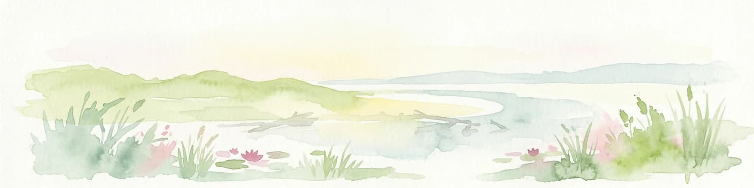
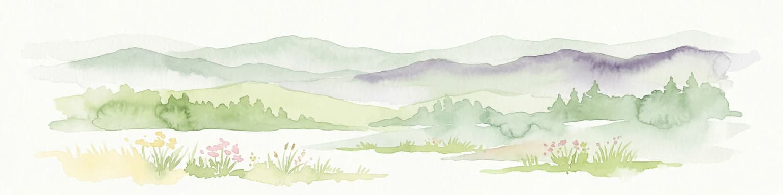
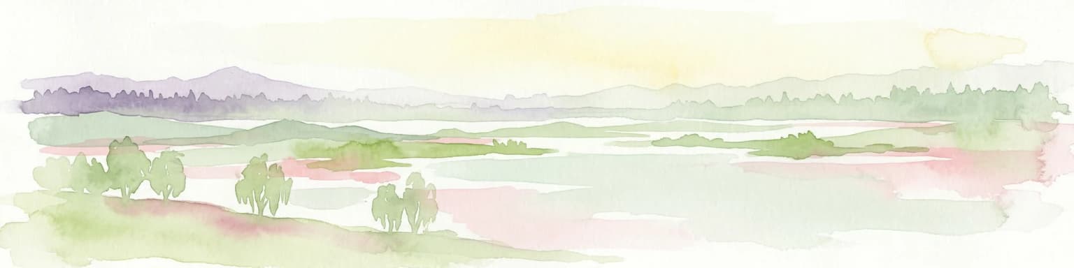
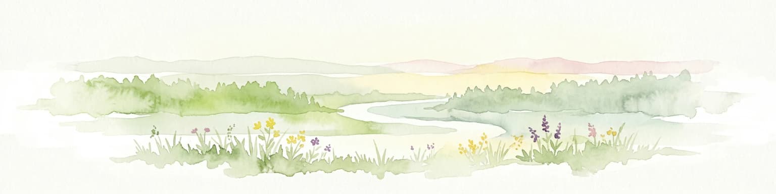
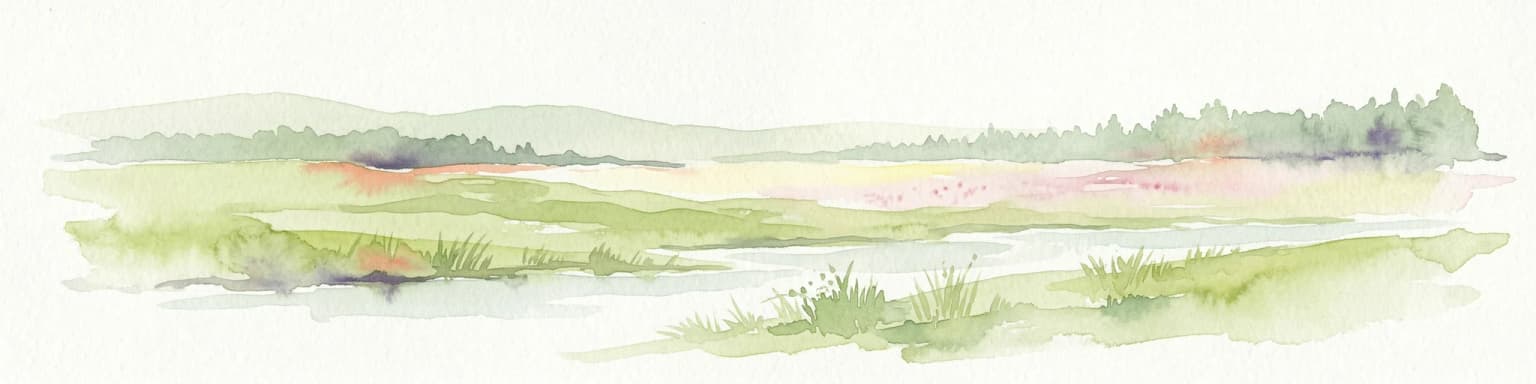
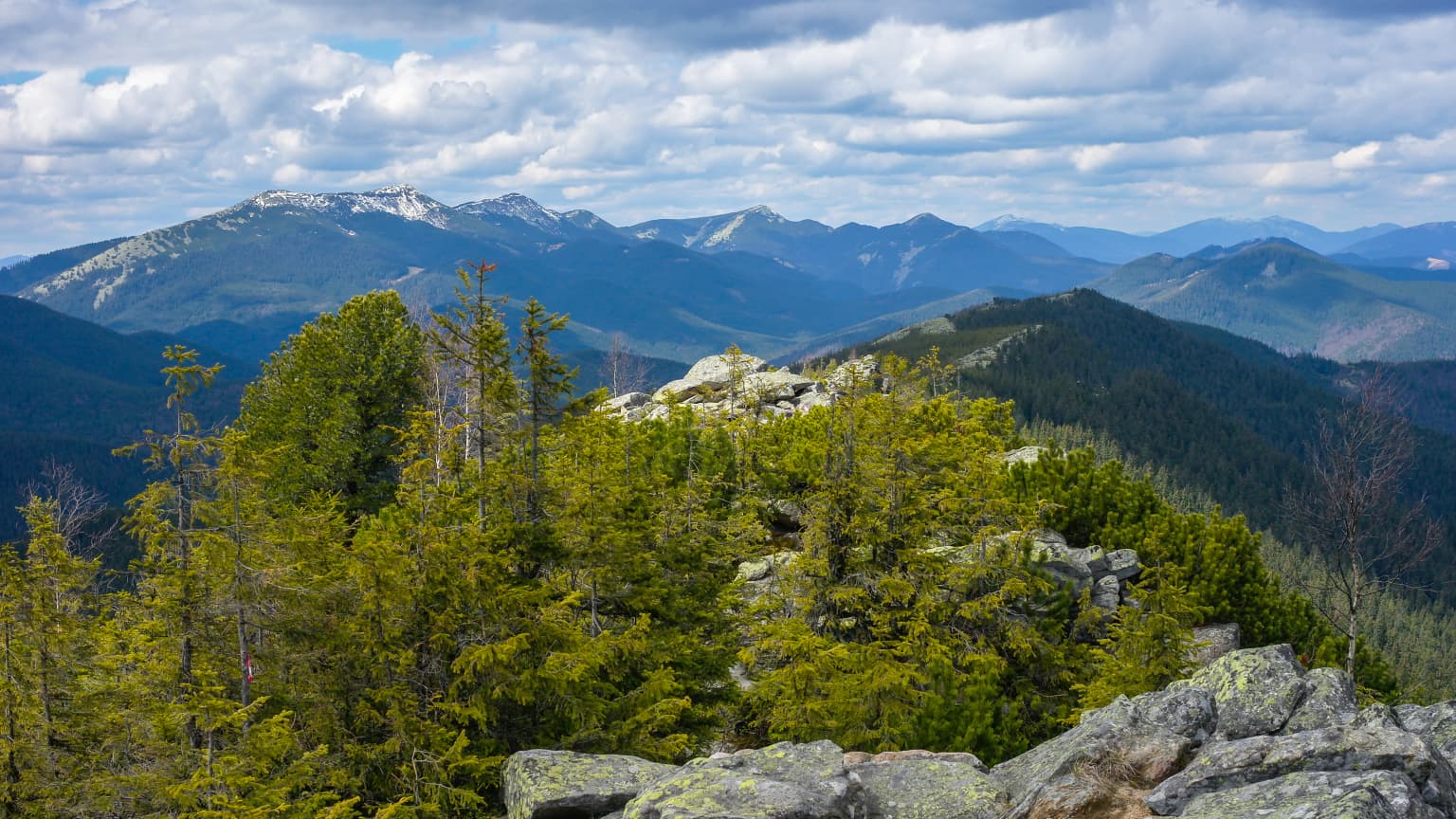
The park is situated in the central Ukrainian lowland region, characterized by relatively flat to gently undulating terrain typical of the Dnieper River basin. The landscape is centered on Bile Ozero (White Lake), a significant freshwater lake that provides the focal ecological feature of the protected area. The surrounding terrain includes areas of forest, wetland, and transitional habitats that surround the lake basin. The region's geology and topography support the wetland ecosystems that characterize the park's ecological identity.

Bile Ozero National Nature Park ecosystems, habitats, and plant life

Bile Ozero National Nature Park protects a wetland-lacustrine ecosystem centered on White Lake, representing a notable habitat type within central Ukraine's ecological landscape. The lake and its surrounding wetlands support aquatic vegetation, waterbird communities, and riparian ecosystems that depend on the freshwater habitat. The transition from former forestry use to conservation protection has allowed the area to function as a protected ecosystem supporting biodiversity within the Dnieper basin region.

Bile Ozero National Nature Park wildlife and species highlights

The wetland and lake habitats of Bile Ozero support waterbird communities and aquatic fauna characteristic of central Ukrainian freshwater ecosystems. The lake and surrounding wetland areas provide breeding, feeding, and resting habitat for various bird species associated with freshwater environments. While detailed species inventories are not fully specified in available sources, the protected wetland habitat supports ecological communities typical of Dnieper basin lacustrine systems.

Bile Ozero National Nature Park conservation status and protection priorities

The park's designation as an IUCN Category II protected area reflects its national-level conservation significance within Ukraine's protected area network. The 2009 establishment formalized protection for 7,014 hectares of land that had previously been under forestry management, transitioning the area to conservation stewardship. The park contributes to Ukraine's system of national parks that protect representative natural ecosystems and landscapes.

Bile Ozero National Nature Park cultural meaning and human context

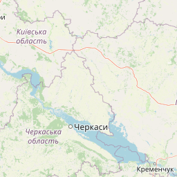
The park is located within a region of central Ukraine that includes both Kyiv Oblast and Cherkasy Oblast, areas with historical agricultural and settlement traditions. The park's name in Ukrainian (Білоозерський) directly references the White Lake, indicating the lake's prominence in local landscape identity. The administrative division of the park between two raions reflects the ecological continuity of the White Lake ecosystem across regional boundaries.

Top sights and standout views in Bile Ozero National Nature Park

Bile Ozero National Nature Park offers protection for a significant freshwater lake ecosystem in central Ukraine, representing a rare wetland habitat within the predominantly agricultural landscape of the Kyiv-Cherkasy region. The park's establishment in 2009 formalized conservation status for an area previously under forestry management, creating a protected area that safeguards both the lake and surrounding habitats. The park serves as a conservation anchor within the Dnieper River basin, protecting wetland biodiversity and natural landscape character in north-central Ukraine.

Best time to visit Bile Ozero National Nature Park

The park can be visited throughout the year, with each season offering distinct experiences of the central Ukrainian landscape. Summer months typically provide the most accessible conditions for exploring the park's trails and observing wetland wildlife, while winter offers a different perspective on the frozen lake and surrounding forests. Spring brings wetland bird migration periods, and autumn showcases the seasonal transformation of the surrounding forests. Visitors interested in waterbird observation may find spring and autumn migration periods particularly rewarding.

Park location guide

Geography guide, regional context, and park location map for Bile Ozero National Nature Park

Bile Ozero National Nature Park park geography, regions, and map view in Ukraine
Understand where Bile Ozero National Nature Park sits in Ukraine through a broader geographic reading of the surrounding landscape, nearby location context, and its mapped position within the national park landscape.

How Bile Ozero National Nature Park fits into Ukraine

Ukraine is a sovereign nation in Eastern Europe, bordered by Russia, Belarus, Poland, Slovakia, Hungary, Romania, Moldova, and the Black Sea. It is the second-largest country in Europe by area. Kyiv is the capital and largest city, followed by Kharkiv, Odesa, and Dnipro. The official language is Ukrainian. Ukraine has a population of approximately 32.9 million and operates as a unitary semi-presidential republic.

Wider geography shaping Bile Ozero National Nature Park in Ukraine

Ukraine occupies 603,628 km² in Eastern Europe, making it the second-largest country in Europe. It shares borders with Russia, Belarus, Poland, Slovakia, Hungary, Romania, and Moldova. The country has a southern coastline along the Black Sea and Sea of Azov. The terrain includes plains, steppes, and the Carpathian Mountains in the west.

Map view of Bile Ozero National Nature Park

Use this park location map to pinpoint Bile Ozero National Nature Park in Ukraine, understand its exact geographic position, and read its mapped placement within the surrounding landscape more clearly.

Pigeon | © OpenStreetMap contributors

Location context for Bile Ozero National Nature Park

Cherkasy OblastKyiv Oblast
Park atlas

Compare wetland ecosystems and diverse protected landscapes across Kyiv Oblast and central Ukraine.

Explore Other National Parks and Protected Areas Near Bile Ozero National Nature Park, Ukraine
Continue your exploration of protected areas by browsing additional national parks and nature reserves located within and around Kyiv Oblast, showcasing diverse wetland and forest ecosystems. This geographic perspective allows comparing the conservation landscapes of central Ukraine, tracing the regional spread of significant natural habitats and protected lands beyond Bile Ozero National Nature Park.
National parkPoltava Oblast

Pyriatyn National Nature Park: Detailed Atlas View of Ukrainian River Valley Protected Landscapes

Explore Poltava Oblast's unique wetland and floodplain ecosystems.

Pyriatyn National Nature Park provides an exceptional case study of a complete river valley ecosystem within Ukraine's Poltava Oblast. This protected area showcases a distinct topographic sequence, transitioning from upland terraces to extensive floodplain wetlands and the meandering Udai River. Discover the park's significant role in conserving boreal plant species at their southern range limits and its importance as a mapped natural landscape for geographic atlas exploration.

Area
120 km²
Established
2009
IUCN
II
Relief
Lowland
National parkUkraine

Holosiiv National Nature Park: Ukraine's Protected Area and Mapped Landscape

Explore geographic boundaries and regional context.

Holosiiv National Nature Park represents a significant protected natural landscape within Ukraine. This detail page offers in-depth atlas exploration of the park's mapped boundaries and its integration into the country's regional geography. Understand the value of this protected area through structured geographic data and visual context, enabling a deeper appreciation of its unique landscape identity within the national park system.

Area
45.255 km²
Established
2007
IUCN
II
Relief
Lowland
Watercolor illustration of a river landscape with green hills, reeds, and water lilies
National park

Zalissia National Nature Park: Protected Forest Atlas and Regional Geography

Mapping Ukraine's temperate hardwood and pine forest ecosystems.

Delve into Zalissia National Nature Park, a significant protected landscape in Ukraine renowned for its vast temperate hardwood forests and ancient pine stands. This atlas entry details the park's mapped boundaries, its position within the Desna River floodplain, and the unique geographic context of its forest ecosystems. Understanding Zalissia National Nature Park offers insight into the conservation of northern Ukraine's natural heritage and its place in the broader regional geography.

Area
148 km²
Established
2009
IUCN
II
Relief
Lowland
National parkUkraine

Ichnia National Nature Park: A Protected Landscape with Geographic Identity in Ukraine

Explore the mapped boundaries and regional natural context of this national park.

Ichnia National Nature Park represents a significant protected landscape within Ukraine, providing users with a focused entry point for geographic discovery. This page details its designation as a national park, highlighting its mapped features and regional setting. It serves as a foundational resource for understanding the park's specific landscape character and its contribution to the broader atlas of Ukraine's protected natural areas, offering detailed geographic context for further exploration.

Area
97 km²
Established
2004
IUCN
II
Relief
Lowland
Watercolor depiction of a river flowing through wetlands with green vegetation, trees, and distant hills under a soft sky
National parkPoltava Oblast

Lower Sula National Nature Park: Protected Wetlands and River Floodplain Atlas Explorer

Mapped boundaries and geography of this Ukrainian national park.

Discover the detailed geography and protected landscape features of Lower Sula National Nature Park, located in Poltava Oblast, Ukraine. This page provides an atlas-level view of its critical wetland habitats, including marshes and shallow lakes, which are vital for waterfowl and fish spawning. Explore the park's unique position within the Sula River floodplain and its ecological significance as a national nature park, offering rich context for geographic study.

Area
186 km²
Established
2010
IUCN
II
Relief
Lowland
National parkChernihiv Oblast

Mezyn National Nature Park: Protected Area with Paleolithic Heritage in Chernihiv Oblast

Explore ancient forests, river wetlands, and prehistoric landscapes.

Mezyn National Nature Park in Chernihiv Oblast, Ukraine, represents a significant protected area where natural landscapes meet profound archaeological discoveries. This national park encompasses diverse terrain, from the expansive Desna River floodplain dotted with oxbow lakes to ancient oak forests and rolling upland areas shaped by glacial activity. It is particularly noted for the Mezyn Paleolithic site, offering insights into Ice Age human life with remarkable artifacts and bone dwellings, making it a unique destination for atlas-driven discovery of protected lands and prehistoric geography.

Area
310 km²
Established
2004
IUCN
II
Relief
Lowland
National parkMykolaiv Oblast

Bug Gard National Nature Park: Mapped Protected Landscape in Mykolaiv Oblast

Explore National Park Geography and Boundaries

Delve into Bug Gard National Nature Park, a designated national park situated in Mykolaiv Oblast, Ukraine. This detailed view highlights the park's protected landscape, offering insights into its geographic distribution and mapped boundaries. Understand its place within the regional terrain and access structured information for atlas-based exploration of this significant natural area.

Area
61.38 km²
Established
2009
IUCN
II
Relief
Mixed relief
National parkSumy Oblast

Hetman National Nature Park: National Park Geography and Protected Landscape Atlas

Mapped protected area within Sumy Oblast, Ukraine.

Explore Hetman National Nature Park, a designated national park situated in Sumy Oblast, Ukraine. This page offers a detailed look at its geographic setting, mapped boundaries, and role as a protected landscape. Understand its place within the regional geography of northeastern Ukraine and utilize MoriAtlas for structured map-based discovery of this significant natural area.

Area
234 km²
Established
2009
IUCN
II
Relief
Lowland

Common questions about visiting, size, designation, and location context for Bile Ozero National Nature Park

Bile Ozero National Nature Park FAQs for park facts, access, geography, and protected area context
Find quick answers about Bile Ozero National Nature Park, including protected-area facts, park geography, trail and visitor context, and how the park fits into its surrounding country and regional landscape.
MoriAtlas Explorer

Continue Your Protected Areas Search Across the Global Atlas

Deepen your exploration by continuing the structured search for national parks and protected areas worldwide. Utilize the comprehensive filtering capabilities to compare different conservation landscapes and refine your understanding of global park geography. Discover more about the distribution and characteristics of protected natural areas.

Global natural geography