Mori Atlas logo
National parkHetman National Nature Park

Navigate the geographic boundaries and mapped terrain of this national park.

Hetman National Nature Park: A Protected Landscape in Sumy Oblast, Ukraine

Hetman National Nature Park represents a significant protected area within the northeastern reaches of Ukraine, situated within Sumy Oblast. This park serves as a vital point for understanding the regional geography and the mapped distribution of conservation landscapes in the area. MoriAtlas provides a structured view of Hetman National Nature Park, focusing on its geographic identity and context within the broader atlas of protected lands, enabling detailed map-based exploration.

National ParkForest-SteppeRiver ValleyWetlandsUkraineEastern Europe

Hetman National Nature Park

National park

Park overview

Structured park overview, official facts, and landscape profile for Hetman National Nature Park

Hetman National Nature Park park facts, protected area profile, and essential visitor context
Review the core facts for Hetman National Nature Park, including designation, size, terrain, visitor scale, habitats, and operating context in one park-focused overview.

About Hetman National Nature Park

Hetman National Nature Park represents one of Ukraine's newer protected areas, established in 2009 to safeguard representative ecosystems of the Left Bank forest-steppe. The park follows the entire length of the Vorskla River as it flows through Sumy Oblast, encompassing the river's floodplains, terraces, and adjacent lands. This linear protected area begins at the international border with Russia and extends westward, following the river's meandering course through a landscape that transitions from flat plains to gentle hills and ravines. The forest-steppe environment supports a mosaic of habitats where woodland and grassland communities intermingle, creating conditions for high biodiversity. The park's creation reflected Ukraine's commitment to expanding its network of protected areas and preserving ecologically significant landscapes that had previously lacked formal protection status.

Quick facts and research context for Hetman National Nature Park

Hetman National Nature Park occupies 23,360 hectares in Okhtyrka Raion, Sumy Oblast, northeastern Ukraine. The park follows the Vorskla River valley from the Russian border westward through predominantly flat terrain with occasional hills and ravines. Established in 2009 under Ukrainian nature protection law, the park is managed by the Ministry of Ecology and Natural Resources. The region experiences a humid continental climate with warm summers and cold, snowy winters.

Park context

Deeper park guide and search-rich context for Hetman National Nature Park

Hetman National Nature Park history, landscape, wildlife, and travel context
Explore Hetman National Nature Park through its history, landscape character, ecosystems, wildlife, conservation priorities, cultural context, and seasonal travel timing in a structured park guide built for atlas discovery and search intent.

Why Hetman National Nature Park stands out

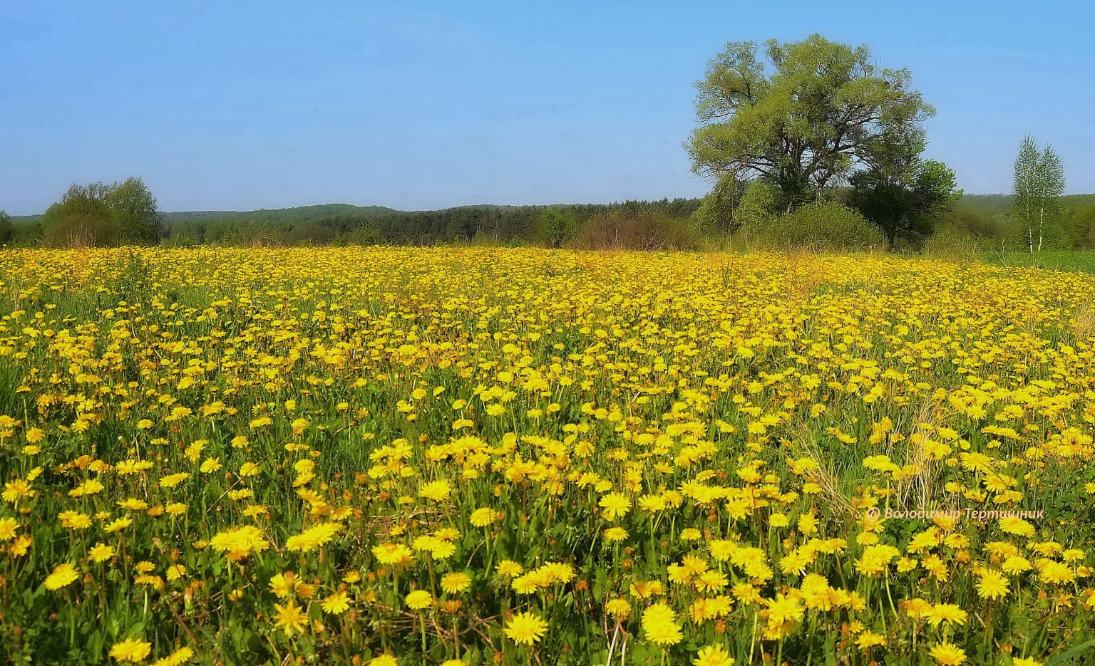
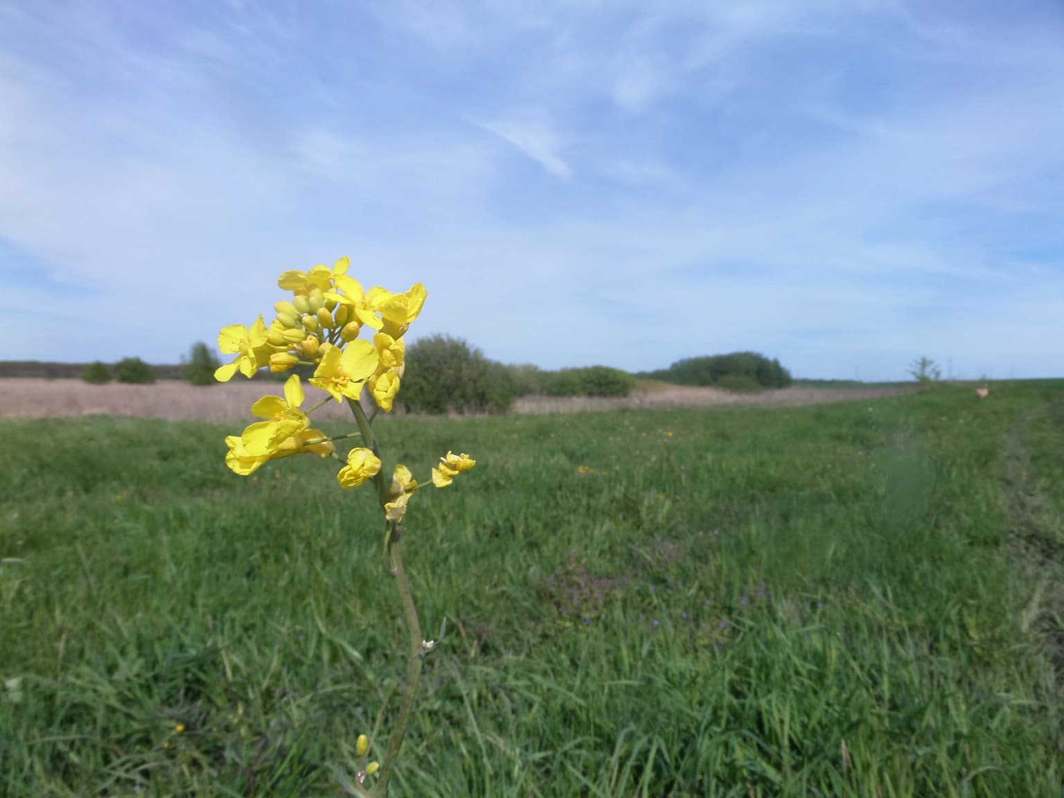
Hetman National Nature Park is most distinctive for its position within the East European forest-steppe ecoregion, protecting a river valley ecosystem that bridges northern forests with southern grassland habitats. The Vorskla River corridor supports diverse wetland habitats including floodplain forests and river terraces. The park is notable for its significant fungal diversity, with several species of macromycetes including coral-like heritium and dog's mutin protected in Ukraine's Red Book. The forest communities are characterized by oak, linden, ash, aspen, willow, and pine, creating a layered landscape of ecological significance.

Hetman National Nature Park history and protected-area timeline

Hetman National Nature Park was established on April 27, 2009, through Article 53 of the Law of Ukraine On the Nature Reserve Fund of Ukraine. The park was created with the dual purpose of preserving existing natural ecosystems while enabling sustainable use and reproduction of natural resources. The legislative framework designated the area for nature conservation, scientific research, aesthetic appreciation, recreation, and health-improving activities. The park's establishment recognized that the Vorskla River valley contained typical and unique natural complexes of significant value requiring protected status. Management responsibility falls to Ukraine's Ministry of Ecology and Natural Resources, which oversees conservation programming and visitor services.

Hetman National Nature Park landscape and geographic character

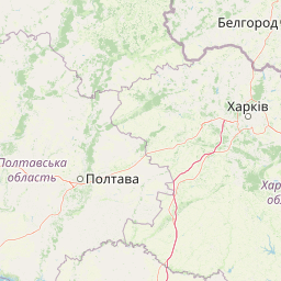
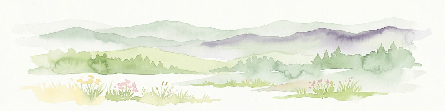
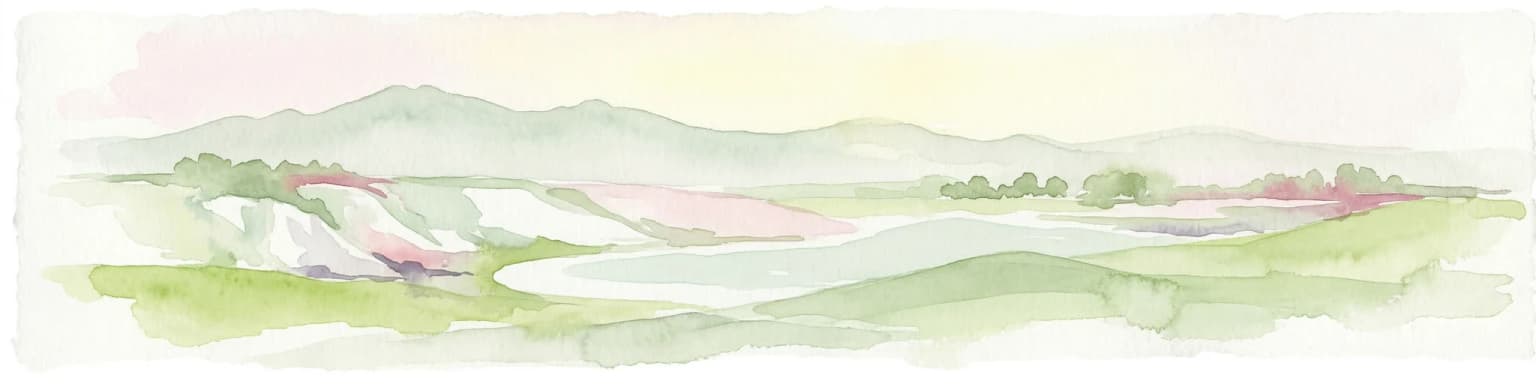
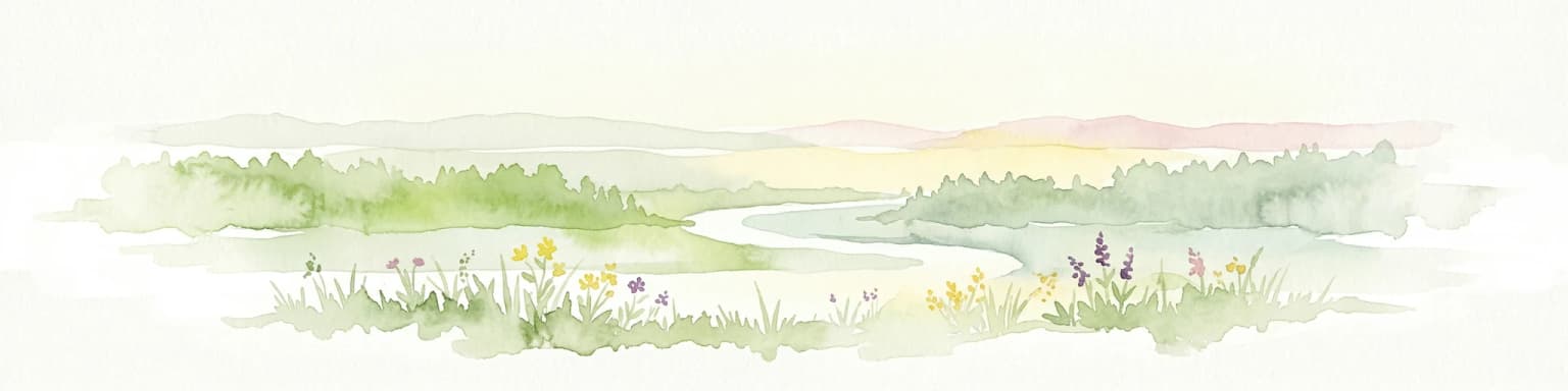
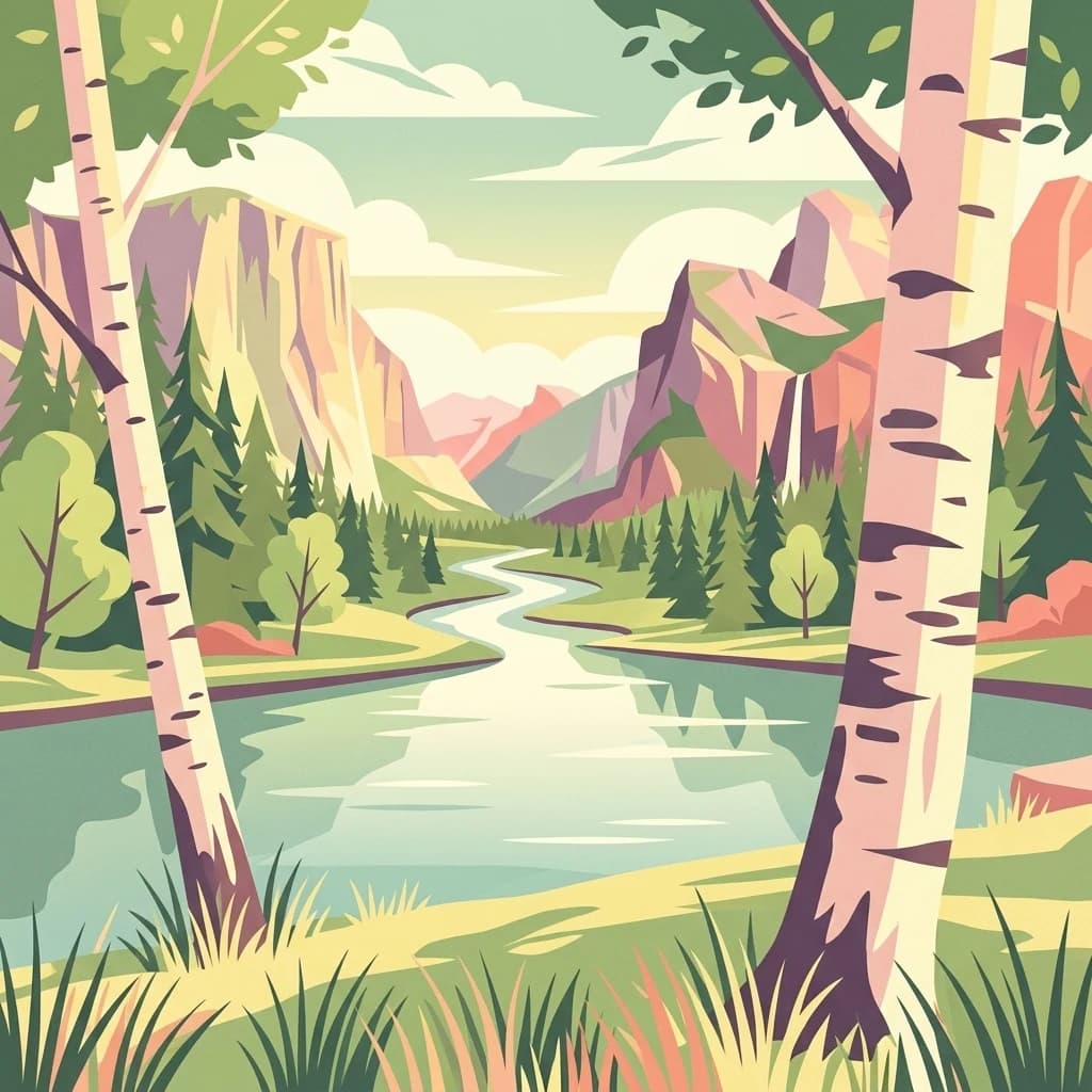
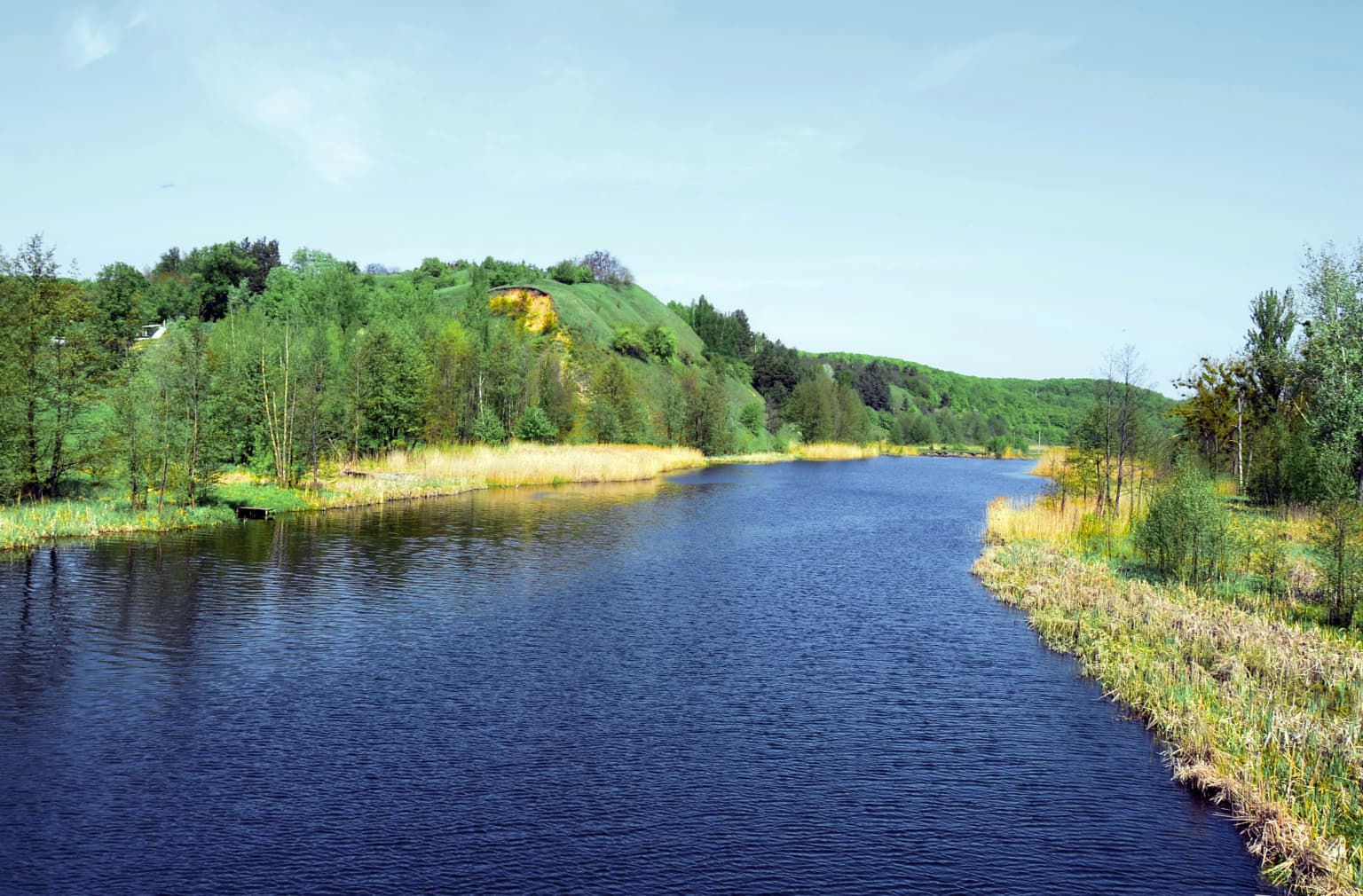
The physical landscape of Hetman National Nature Park is defined by the Vorskla River and its associated valley landforms. The terrain across the park is predominantly flat, characteristic of the broader steppe region, though interspersed with hills and ravines that add topographic variation. The river follows a roughly westward and then southward course, with the park following its entire 122-kilometer path through Sumy Oblast. The landscape includes floodplain wetlands, river terraces, and adjacent upland areas. There are occasional breaks in the linear park boundary where roads or villages interrupt the continuous river corridor. The combination of flat terrain, river features, and subtle topographic relief creates a landscape of pastoral beauty representative of northeastern Ukrainian countryside.

Hetman National Nature Park ecosystems, habitats, and plant life

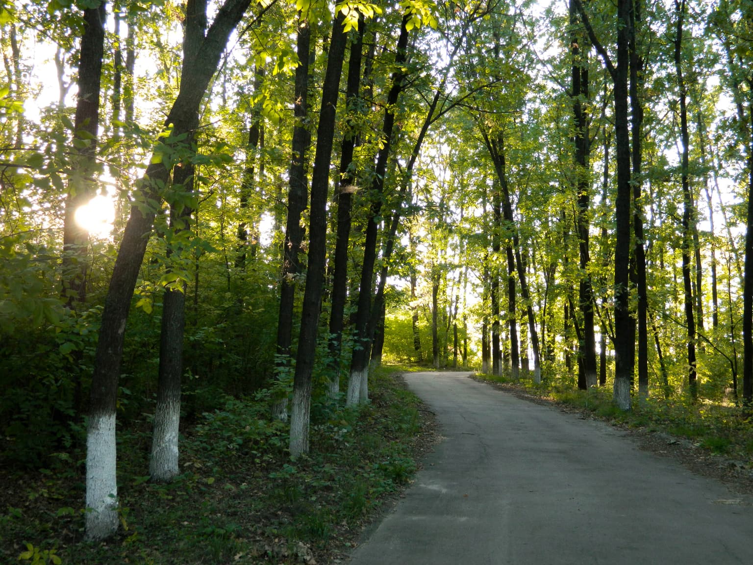
The ecological character of Hetman National Nature Park reflects its position in the East European forest-steppe ecoregion, a band of mixed forest and grassland extending from central Ukraine eastward to the Ural Mountains. The river valley supports floodplain and terrace wetland ecosystems alongside forest-steppe communities on higher ground. Forest vegetation is dominated by deciduous species including oak, linden, ash, aspen, willow, and cherry, with some pine and birch present. The diversity of tree species creates structurally complex woodlands. Notably, the park supports significant fungal communities with numerous macromycete species documented, some of which are rare and protected under Ukrainian law.

Hetman National Nature Park wildlife and species highlights

The Vorskla River corridor provides important habitat for diverse wildlife communities adapted to forest-steppe environments. While specific species lists are limited in the source material, the combination of river habitats, wetlands, and deciduous forests supports characteristic fauna of the region. The floodplain forests and adjacent steppe habitats create a mosaic that supports both woodland and open-country species. The park's educational programs highlight nature preservation, suggesting active wildlife monitoring and conservation work within the protected area.

Hetman National Nature Park conservation status and protection priorities

Hetman National Nature Park was created to fulfill multiple conservation objectives within Ukraine's protected area system. The park preserves typical and unique natural complexes of the Left Bank forest-steppe, recognizing both representative ecosystems and distinctive features requiring protection. The legal framework designated the area with nature conservation as a primary purpose, alongside scientific, aesthetic, recreational, and health-improving functions. The presence of rare fungal species listed in Ukraine's Red Book demonstrates the park's significance for conserving species of conservation concern. The protected status helps maintain ecological corridors along the Vorskla River and preserves biodiversity in a region where intensive agricultural use has altered much of the original landscape.

Top sights and standout views in Hetman National Nature Park

The park protects a significant corridor of the Vorskla River through the forest-steppe zone, preserving both ecological and landscape values. Visitors can explore hiking trails and guided ecological excursion routes, while kayaking provides a different perspective on the river environment. The park's fungal diversity represents a particularly distinctive conservation feature, with protected species rare within Ukraine. Educational programs for school groups and public awareness campaigns extend the park's conservation mission beyond its boundaries.

Best time to visit Hetman National Nature Park

The park can be visited throughout the year, though each season offers distinct experiences. Summer brings warm conditions ideal for hiking, kayaking, and observing the full vascular plant and fungal diversity of the river corridor. Autumn offers excellent mushroom-viewing opportunities when fungally active periods occur. Winter provides a different character across the snow-covered landscape, though cold temperatures and snow may limit access to some trails. The humid continental climate means spring and autumn are transitional periods with changing conditions that may appeal to visitors interested in seasonal ecological dynamics.

Park location guide

Geography guide, regional context, and park location map for Hetman National Nature Park

Hetman National Nature Park park geography, regions, and map view in Ukraine
Understand where Hetman National Nature Park sits in Ukraine through a broader geographic reading of the surrounding landscape, nearby location context, and its mapped position within the national park landscape.

How Hetman National Nature Park fits into Ukraine

Ukraine is a sovereign nation in Eastern Europe, bordered by Russia, Belarus, Poland, Slovakia, Hungary, Romania, Moldova, and the Black Sea. It is the second-largest country in Europe by area. Kyiv is the capital and largest city, followed by Kharkiv, Odesa, and Dnipro. The official language is Ukrainian. Ukraine has a population of approximately 32.9 million and operates as a unitary semi-presidential republic.

Wider geography shaping Hetman National Nature Park in Ukraine

Ukraine occupies 603,628 km² in Eastern Europe, making it the second-largest country in Europe. It shares borders with Russia, Belarus, Poland, Slovakia, Hungary, Romania, and Moldova. The country has a southern coastline along the Black Sea and Sea of Azov. The terrain includes plains, steppes, and the Carpathian Mountains in the west.

Map view of Hetman National Nature Park

Use this park location map to pinpoint Hetman National Nature Park in Ukraine, understand its exact geographic position, and read its mapped placement within the surrounding landscape more clearly.

Pigeon | © OpenStreetMap contributors

Location context for Hetman National Nature Park

Okhtyrka RaionSumy Oblast
Park atlas

Browse the protected areas and diverse natural landscapes surrounding Hetman National Nature Park and across northeastern Ukraine.

Discover Other National Parks Near Hetman National Nature Park in Sumy Oblast, Ukraine
Continue your exploration beyond Hetman National Nature Park to compare other protected areas and national parks throughout Sumy Oblast and the broader Ukrainian forest-steppe zone. This geographic overview helps trace river valley ecosystems and conservation landscapes across Eastern Europe, offering richer context for regional park discovery.
National parkKharkiv Oblast

Sloboda National Nature Park: National Park Protected Landscape in Kharkiv Oblast

Mapped Boundaries and Regional Geography Exploration

Investigate Sloboda National Nature Park, a recognized national park situated within Ukraine's Kharkiv Oblast. This page offers detailed insights into its protected landscape, focusing on its geographic setting and mapped terrain. Understand how this park contributes to the regional geography of Sloboda Ukraine and explore its mapped boundaries for a structured atlas discovery experience.

Area
52.44 km²
Established
2009
IUCN
II
Relief
Mixed relief
Watercolor illustration showing a valley with a winding river, green trees, and distant purple mountains under a light sky
National parkKharkiv Oblast

Homilsha Woods National Nature Park: National Park & Protected Landscape Atlas

Ancient oak woodlands and river valley geography in Kharkiv Oblast.

Delve into the protected natural heritage of Homilsha Woods National Nature Park, a significant national park situated in Ukraine's Kharkiv Oblast. This park preserves exceptional examples of ancient oak forests, some hundreds of years old, set within a complex geographic transition zone between steppe and forest ecosystems. Its diverse terrain, including hilly uplands and riverine plains, provides a compelling subject for mapped landscape discovery and understanding regional protected area distribution.

Area
143 km²
Established
2004
IUCN
II
Relief
Upland
Watercolor depiction of a river flowing through wetlands with green vegetation, trees, and distant hills under a soft sky
National parkPoltava Oblast

Lower Sula National Nature Park: Protected Wetlands and River Floodplain Atlas Explorer

Mapped boundaries and geography of this Ukrainian national park.

Discover the detailed geography and protected landscape features of Lower Sula National Nature Park, located in Poltava Oblast, Ukraine. This page provides an atlas-level view of its critical wetland habitats, including marshes and shallow lakes, which are vital for waterfowl and fish spawning. Explore the park's unique position within the Sula River floodplain and its ecological significance as a national nature park, offering rich context for geographic study.

Area
186 km²
Established
2010
IUCN
II
Relief
Lowland
National parkPoltava Oblast

Pyriatyn National Nature Park: Detailed Atlas View of Ukrainian River Valley Protected Landscapes

Explore Poltava Oblast's unique wetland and floodplain ecosystems.

Pyriatyn National Nature Park provides an exceptional case study of a complete river valley ecosystem within Ukraine's Poltava Oblast. This protected area showcases a distinct topographic sequence, transitioning from upland terraces to extensive floodplain wetlands and the meandering Udai River. Discover the park's significant role in conserving boreal plant species at their southern range limits and its importance as a mapped natural landscape for geographic atlas exploration.

Area
120 km²
Established
2009
IUCN
II
Relief
Lowland
National parkUkraine

Ichnia National Nature Park: A Protected Landscape with Geographic Identity in Ukraine

Explore the mapped boundaries and regional natural context of this national park.

Ichnia National Nature Park represents a significant protected landscape within Ukraine, providing users with a focused entry point for geographic discovery. This page details its designation as a national park, highlighting its mapped features and regional setting. It serves as a foundational resource for understanding the park's specific landscape character and its contribution to the broader atlas of Ukraine's protected natural areas, offering detailed geographic context for further exploration.

Area
97 km²
Established
2004
IUCN
II
Relief
Lowland
Watercolor illustration of a river valley with hills, green fields, and distant mountains under a soft sky
National parkUkraine

Dvorichna National Nature Park: Protected Landscape and Geographic Atlas in Ukraine

Explore mapped boundaries and regional geography within Ukraine.

Understand the protected landscape identity of Dvorichna National Nature Park, a national park situated in Ukraine. This page provides detailed geographic context, focusing on mapped protected areas and the park's natural terrain. It serves as an atlas entry point to comprehend the park's placement within Eastern Europe and its significance as a conservation landscape.

Area
31.31 km²
Established
2009
IUCN
II
Relief
Highland
National parkSumy Oblast

Desna, Stara Huta National Nature Park: Key Protected Area and Regional Geographic Context in Ukraine

Explore mapped landscapes of river floodplains and boreal forests.

This page details Desna, Stara Huta National Nature Park, a significant protected area within Ukraine's Sumy Oblast. It showcases a landscape defined by the Desna River floodplain, unique wetlands, and the southernmost extension of the Bryansk Forest. Users can explore its geographic identity, protected status, and its role in the atlas of Eastern European natural regions, focusing on landscape diversity and mapped boundaries.

Area
162 km²
Established
1999
IUCN
II
Relief
Lowland
National parkChernihiv Oblast

Mezyn National Nature Park: Protected Area with Paleolithic Heritage in Chernihiv Oblast

Explore ancient forests, river wetlands, and prehistoric landscapes.

Mezyn National Nature Park in Chernihiv Oblast, Ukraine, represents a significant protected area where natural landscapes meet profound archaeological discoveries. This national park encompasses diverse terrain, from the expansive Desna River floodplain dotted with oxbow lakes to ancient oak forests and rolling upland areas shaped by glacial activity. It is particularly noted for the Mezyn Paleolithic site, offering insights into Ice Age human life with remarkable artifacts and bone dwellings, making it a unique destination for atlas-driven discovery of protected lands and prehistoric geography.

Area
310 km²
Established
2004
IUCN
II
Relief
Lowland

Common questions about visiting, size, designation, and location context for Hetman National Nature Park

Hetman National Nature Park FAQs for park facts, access, geography, and protected area context
Find quick answers about Hetman National Nature Park, including protected-area facts, park geography, trail and visitor context, and how the park fits into its surrounding country and regional landscape.
MoriAtlas Explorer

Continue Your Protected Areas Search Across the Global Atlas

Deepen your exploration by continuing the structured search for national parks and protected areas worldwide. Utilize the comprehensive filtering capabilities to compare different conservation landscapes and refine your understanding of global park geography. Discover more about the distribution and characteristics of protected natural areas.

Global natural geography