Mori Atlas logo
National parkDesna–Stara Huta National Nature Park

Discover unique river floodplain and northern forest ecosystems within this Ukrainian national park.

Desna–Stara Huta National Nature Park: Protected Area and Geographic Atlas in Sumy Oblast

(Desniansko-Starohutskyi National Nature Park)

Desna–Stara Huta National Nature Park in Ukraine's Sumy Oblast stands as a vital protected area, preserving distinct natural landscapes along the Desna River. This national park offers a unique combination of an intact river floodplain ecosystem in its western Desna section and the southernmost reaches of the Bryansk Forest in its eastern Stara Huta section. Users exploring this park entity on MoriAtlas can gain insight into its protected status, its position within the regional geography of Northeastern Ukraine, and its importance as a mapped natural landscape.

National ParkWetlandsPines ForestsRamsar SiteBiosphere ReserveEastern Ukraine

Desna–Stara Huta National Nature Park

National park

Park overview

Structured park overview, official facts, and landscape profile for Desna, Stara Huta National Nature Park

Desna, Stara Huta National Nature Park park facts, protected area profile, and essential visitor context
Review the core facts for Desna, Stara Huta National Nature Park, including designation, size, terrain, visitor scale, habitats, and operating context in one park-focused overview.

About Desna, Stara Huta National Nature Park

Desna–Stara Huta National Nature Park occupies a significant position in Ukraine's protected areas network as a representative of the Polesia region's unique wetland and forest ecosystems. The park's landscape reflects the glacial history of the area, with terrain shaped by deposits of sand and gravel that create the flat, low-lying characteristic of the Desna River valley. The river itself remains undammed in this section, maintaining relatively pure water quality that supports diverse aquatic communities. The park's two sections serve different ecological functions: the Desna floodplain provides critical wetland habitat for waterfowl, fish, and marsh species, while the Stara Huta pine forests support boreal wildlife at the southern edge of their distribution. Beyond its ecological value, the park serves as an important scientific research site and educational facility, with ongoing collaboration with botanical and zoological institutes across Ukraine. The park also holds historical significance, with remnants of partisan activity from World War II preserved as part of the region's cultural heritage.

Quick facts and research context for Desna, Stara Huta National Nature Park

The park is located in Sumy Oblast, northeastern Ukraine, covering 16,215 hectares along the middle Desna River approximately 300 kilometers upstream from Kyiv. Established in 1999, it protects the diverse landscapes of the eastern Polesia region, combining river floodplains with oxbow lakes, marshes, and extensive pine and mixed forests. The terrain was shaped by glacial deposits of sand and gravel during the last ice age, creating a flat landscape with characteristic wetland features. The park serves as a crucial habitat for boreal species at the southern edge of their range and supports remarkable biodiversity, including 134 breeding bird species and notable populations of large mammals such as elk, roe deer, and wolf.

Park context

Deeper park guide and search-rich context for Desna, Stara Huta National Nature Park

Desna, Stara Huta National Nature Park history, landscape, wildlife, and travel context
Explore Desna, Stara Huta National Nature Park through its history, landscape character, ecosystems, wildlife, conservation priorities, cultural context, and seasonal travel timing in a structured park guide built for atlas discovery and search intent.

Why Desna, Stara Huta National Nature Park stands out

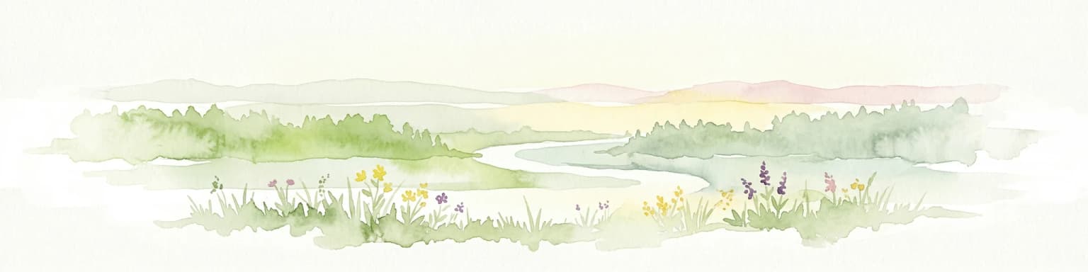
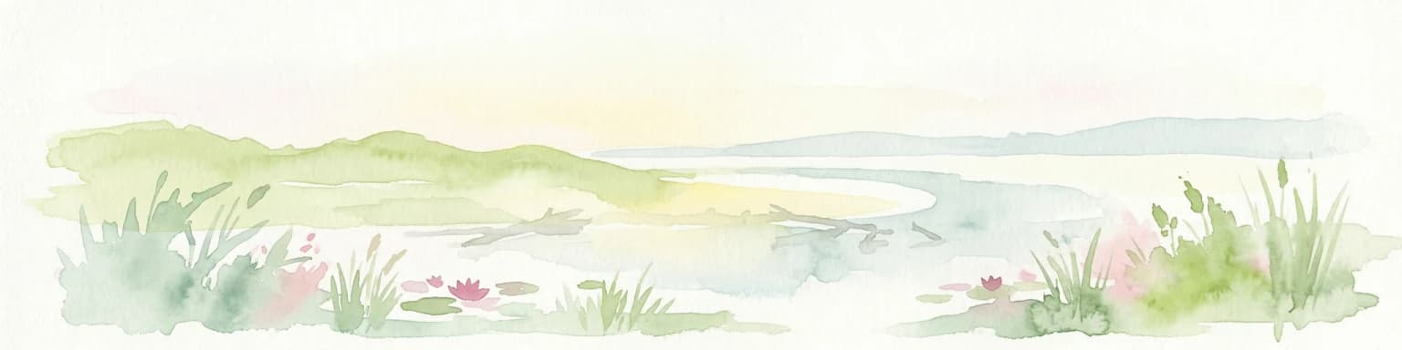
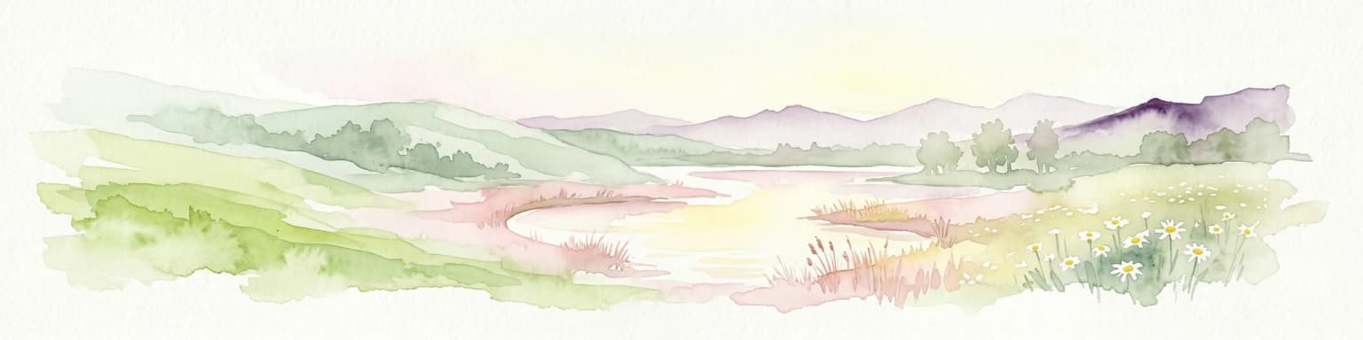
Desna, Stara Huta is most notable for its two contrasting landscapes that come together within a single protected area. The western Desna floodplain preserves one of the most intact river floodplain ecosystems in Ukraine, with relatively pure water, wide meadows, alder swamps, and forests of ash, oak, and aspen. The eastern Stara Huta section represents the southernmost extension of the Bryansk Forest, a vast pine forest complex that continues into Russia. The park is distinguished by its position as a transitional zone where northern boreal species reach their southern range limits while southern and steppe species approach their northern boundaries, creating a unique ecological meeting point. The floodplain also supports the vulnerable Sterlet fish and near-threatened Eurasian otter.

Desna, Stara Huta National Nature Park history and protected-area timeline

The Desna–Stara Huta National Nature Park was established by decree of the President of Ukraine on February 23, 1999, with the purpose of preserving, restoring, and sustainably using the landscapes of Left-bank Polesia with its typical and unique natural complexes. The park was created with the long-term vision of becoming part of a bilateral Ukrainian-Russian biosphere reserve connecting the Stara Huta forests with the Bryansky Les Nature Reserve in Russia. In 2009, the park achieved international recognition when it became a component of the Desna Biosphere Reserve, designated under the UNESCO Man and the Biosphere Programme. The park's territory is organized into functional zones according to Ukrainian legislation: a strict nature reserve zone covering over 2,357 hectares that includes the Veliki and Mali Bahy lakes in the Desna floodplain and significant portions of the Stara Huta forest, a regulated recreation zone of approximately 7,803 hectares for public access and environmental education, a stationary recreation zone of 2 hectares housing tourist facilities, and a economic zone of over 6,000 hectares that includes two settlements.

Desna, Stara Huta National Nature Park landscape and geographic character

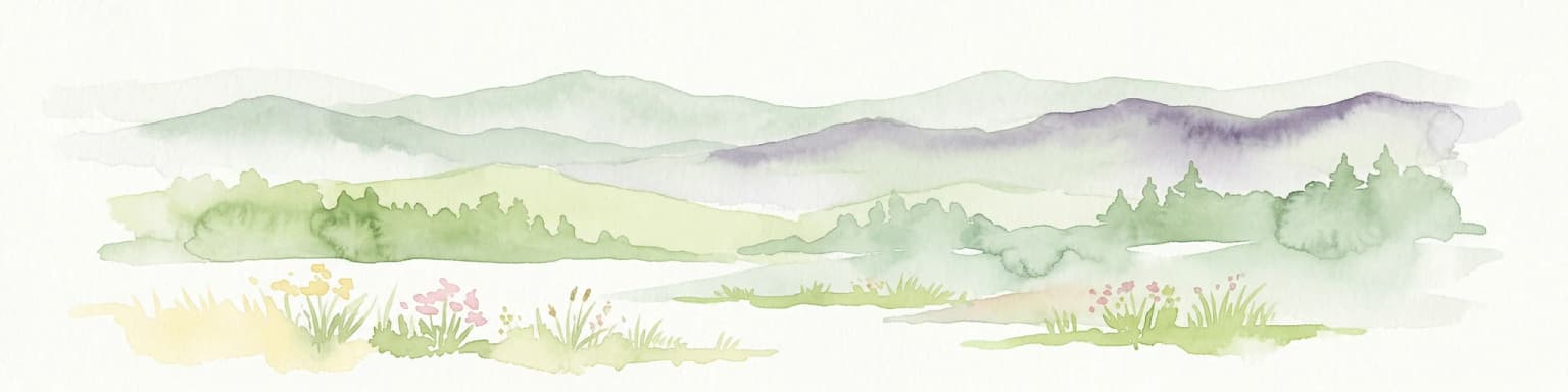
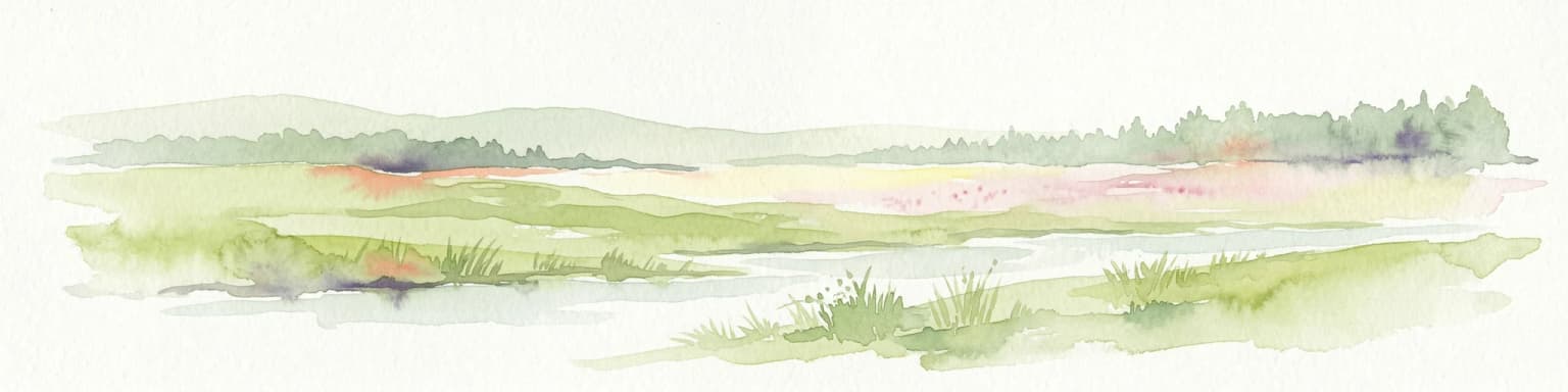
The park's landscape is defined by the Desna River valley and its associated wetlands and terraces. The Desna floodplain stretches two to four kilometers wide, a visually striking landscape of meadows, oxbow lakes, and marshes that represents one of the best-preserved floodplain complexes in Ukraine. The adjacent sandy terrace features rolling terrain covered primarily by pine and pine-oak forests. The Stara Huta section occupies the third terrace of the Desna, presenting a generally flat surface with shallow depressions containing mesotrophic and oligotrophic bogs—a rarity in Ukraine where most bogs are eutrophic. The western part of this terrace is interrupted by the marshy, now-drained valleys of small tributaries. The park encompasses the confluence of several tributaries: the Znobivka and Svoha rivers flowing into the Desna from the left, and the Sudost from the right. Small rivers in the Stara Huta section include the Ulychka and Chernia, tributaries of the Znobivka, with the Chernia's floodplain preserved in its natural state beneath alder forests and wetlands.

Desna, Stara Huta National Nature Park ecosystems, habitats, and plant life

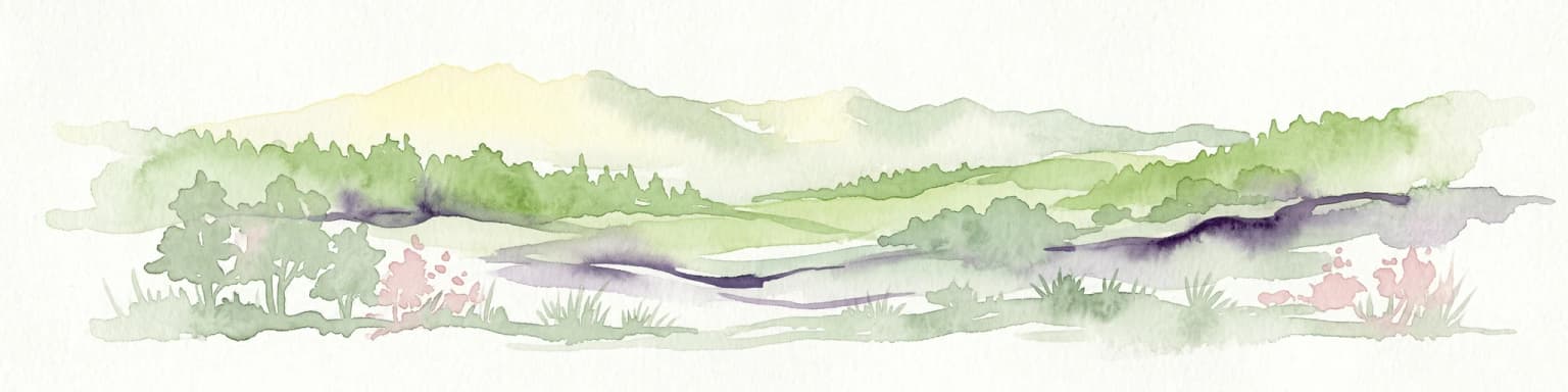
The park protects representative ecosystems of the Central European mixed forests ecoregion with remarkable diversity across its two sections. Forests cover approximately 53% of the park's territory, with meadows at 33%, wetlands around 4%, water surfaces at 2%, and agricultural lands comprising the remaining 8%. The Desna floodplain section features complex floodplain vegetation including meadow, wetland, and aquatic communities, while the pine-covered sandy terrace supports pine forests with green moss understory and fragments of oak forest in lower areas. The Stara Huta section is predominantly forested, covering about 80% of its area, with green-moss and blueberry-pine forests as the dominant cover types. The park's flora includes 801 species of higher vascular plants, with 22 species listed in the Red Book of Ukraine including the creeping goodyera, royal lousewort, common clubmoss, Stark's willow, and floating water-starwort. The bryophyte community includes 106 species, with the epiphytic moss Neckera pennata rare for the region and protected in Europe's Red Book of Bryophytes. The park's wetlands represent rare plant communities including floating water-starwort, water chestnut, and floating water moss, all занесен to the Green Book of Ukraine.

Desna, Stara Huta National Nature Park wildlife and species highlights

The park supports exceptional biodiversity that reflects its position as a transitional zone between ecological regions. The vertebrate fauna includes 313 species, with 35 protected under Ukraine's Red Book. The mammal community features typical Polesia species including elk, roe deer, wild boar, squirrel, hare, and wolf, with beavers having returned to the marshy areas in recent years. The Stara Huta section provides habitat for European bison (zubr) that occasionally migrate from Russia, along with brown bear and lynx at the southern limits of their ranges. The bird population is particularly noteworthy with 207 species, including 134 that breed within the park. Notable species include the black stork, osprey, snake eagle, greater spotted eagle, white-tailed eagle, capercaillie, common crane, and the park's symbol—the charismatic eagle owl. The park supports taiga bird species at their southernmost breeding locations, including the pygmy owl, goldcrest, and red-backed shrike. The aquatic communities include the vulnerable Sterlet and the near-threatened Eurasian otter, while the fish community features sterlet, common dace, and common barbel.

Desna, Stara Huta National Nature Park conservation status and protection priorities

The park holds significant conservation value at both national and international levels. Its designation as a Ramsar wetland site recognizes the international importance of the Desna River floodplains as a waterbird habitat. The park forms part of the Desna Biosphere Reserve, established under UNESCO's Man and the Biosphere Programme in 2009, linking Ukrainian and Russian protected areas in the transboundary Bryansk Forest region. The strict nature reserve zone preserves reference ecosystems for scientific monitoring. The park protects 22 endangered plant species listed in Ukraine's Red Book and supports 35 vertebrate species of conservation concern. Its wetland communities, particularly the floating water-starwort, water chestnut, and floating water moss associations, are protected under Ukraine's Green Book. The park's ecological significance is enhanced by its position as a transition zone where northern and southern species meet, making it valuable for understanding climate-related range shifts and biodiversity patterns.

Desna, Stara Huta National Nature Park cultural meaning and human context

The park region carries historical significance beyond its natural value. During World War II, the Stara Huta forests served as a base for partisan operations, including a post of the legendary Soviet partisan unit led by Sydir Kovpak. A historical monument has been established at the site of a former partisan dugout, preserving this aspect of regional history. The park's territory also includes two settlements within its economic zone, reflecting the long human presence in this border region of northeastern Ukraine. The local communities maintain connections to the land through traditional activities including fishing in the Desna, which remains rich in fish species, and gathering in the forests, where mushrooms and berries such as blueberry, cranberry, and lingonberry are abundant.

Top sights and standout views in Desna, Stara Huta National Nature Park

The park offers two distinctly different natural experiences within one protected area: the open wetlands and meadows of the Desna floodplain with its meandering river, oxbow lakes, and rich birdlife, versus the enclosed pine forests of Stara Huta with their taiga species and deep forest atmosphere. The Vizytivka Desny ecological trail provides visitors with an accessible introduction to the floodplain's diverse habitats, while the Grafivska trail explores the untouched corners of the Stara Huta forests. The park's status as a Ramsar site and Biosphere Reserve places it among Ukraine's most important international conservation areas. Its position at the ecological crossroads means visitors may encounter species ranging from northern taiga birds to southern steppe inhabitants within the same landscape.

Best time to visit Desna, Stara Huta National Nature Park

The park can be visited year-round, with each season offering different experiences. Summer provides the best conditions for exploring the floodplain's wetland trails and observing breeding birds, while the warm months offer comfortable temperatures for camping and boat activities. Autumn brings abundant mushroom and berry picking in the Stara Huta forests, and the changing colors create a distinctive atmosphere across both sections. Winter offers the opportunity to experience the frozen wetlands and forests, though access to some areas may be limited. The shoulder seasons of spring and autumn are particularly rewarding for birdwatching, as the floodplain serves as a major migration corridor where thousands of geese, ducks, waders, and gulls stop during their journeys.

Park location guide

Geography guide, regional context, and park location map for Desna, Stara Huta National Nature Park

Desna, Stara Huta National Nature Park park geography, regions, and map view in Ukraine
Understand where Desna, Stara Huta National Nature Park sits in Ukraine through a broader geographic reading of the surrounding landscape, nearby location context, and its mapped position within the national park landscape.

How Desna, Stara Huta National Nature Park fits into Ukraine

Ukraine is a sovereign nation in Eastern Europe, bordered by Russia, Belarus, Poland, Slovakia, Hungary, Romania, Moldova, and the Black Sea. It is the second-largest country in Europe by area. Kyiv is the capital and largest city, followed by Kharkiv, Odesa, and Dnipro. The official language is Ukrainian. Ukraine has a population of approximately 32.9 million and operates as a unitary semi-presidential republic.

Wider geography shaping Desna, Stara Huta National Nature Park in Ukraine

Ukraine occupies 603,628 km² in Eastern Europe, making it the second-largest country in Europe. It shares borders with Russia, Belarus, Poland, Slovakia, Hungary, Romania, and Moldova. The country has a southern coastline along the Black Sea and Sea of Azov. The terrain includes plains, steppes, and the Carpathian Mountains in the west.

Map view of Desna, Stara Huta National Nature Park

Use this park location map to pinpoint Desna, Stara Huta National Nature Park in Ukraine, understand its exact geographic position, and read its mapped placement within the surrounding landscape more clearly.

Pigeon | © OpenStreetMap contributors

Location context for Desna, Stara Huta National Nature Park

Sumy Oblast
Park atlas

Compare other protected areas in Ukraine, mapping regional conservation efforts and diverse ecological zones.

Discover More National Parks and Protected Areas Near Desna–Stara Huta National Nature Park
Browse national parks and protected areas adjacent to Desna–Stara Huta National Nature Park, covering similar riverine wetlands, pine forests, and ecological zones across Sumy Oblast. Continue your atlas-style discovery by comparing distinct conservation landscapes, understanding regional park distribution, and tracing connected protected ecosystems.
National parkChernihiv Oblast

Mezyn National Nature Park: Protected Area with Paleolithic Heritage in Chernihiv Oblast

Explore ancient forests, river wetlands, and prehistoric landscapes.

Mezyn National Nature Park in Chernihiv Oblast, Ukraine, represents a significant protected area where natural landscapes meet profound archaeological discoveries. This national park encompasses diverse terrain, from the expansive Desna River floodplain dotted with oxbow lakes to ancient oak forests and rolling upland areas shaped by glacial activity. It is particularly noted for the Mezyn Paleolithic site, offering insights into Ice Age human life with remarkable artifacts and bone dwellings, making it a unique destination for atlas-driven discovery of protected lands and prehistoric geography.

Area
310 km²
Established
2004
IUCN
II
Relief
Lowland
National parkUkraine

Ichnia National Nature Park: A Protected Landscape with Geographic Identity in Ukraine

Explore the mapped boundaries and regional natural context of this national park.

Ichnia National Nature Park represents a significant protected landscape within Ukraine, providing users with a focused entry point for geographic discovery. This page details its designation as a national park, highlighting its mapped features and regional setting. It serves as a foundational resource for understanding the park's specific landscape character and its contribution to the broader atlas of Ukraine's protected natural areas, offering detailed geographic context for further exploration.

Area
97 km²
Established
2004
IUCN
II
Relief
Lowland
National parkOryol Oblast

Orlovskoye Polesye National Park: National Park Geographic Discovery

Explore protected area maps and regional landscape context.

Delve into the protected landscape of Orlovskoye Polesye National Park, situated within Russia's Oryol Oblast. This page provides detailed geographic information, focusing on its mapped boundaries and its role as a key national park. Understand the unique regional context and how this protected area contributes to the atlas of Russia's natural landscapes. It's an essential resource for exploring the specific geography and mapped terrain of this important conservation area.

Area
777.45 km²
Established
1994
Relief
Lowland
Climate
Temperate
National parkSumy Oblast

Hetman National Nature Park: National Park Geography and Protected Landscape Atlas

Mapped protected area within Sumy Oblast, Ukraine.

Explore Hetman National Nature Park, a designated national park situated in Sumy Oblast, Ukraine. This page offers a detailed look at its geographic setting, mapped boundaries, and role as a protected landscape. Understand its place within the regional geography of northeastern Ukraine and utilize MoriAtlas for structured map-based discovery of this significant natural area.

Area
234 km²
Established
2009
IUCN
II
Relief
Lowland
National parkPoltava Oblast

Pyriatyn National Nature Park: Detailed Atlas View of Ukrainian River Valley Protected Landscapes

Explore Poltava Oblast's unique wetland and floodplain ecosystems.

Pyriatyn National Nature Park provides an exceptional case study of a complete river valley ecosystem within Ukraine's Poltava Oblast. This protected area showcases a distinct topographic sequence, transitioning from upland terraces to extensive floodplain wetlands and the meandering Udai River. Discover the park's significant role in conserving boreal plant species at their southern range limits and its importance as a mapped natural landscape for geographic atlas exploration.

Area
120 km²
Established
2009
IUCN
II
Relief
Lowland
Watercolor illustration of a river landscape with green hills, reeds, and water lilies
National park

Zalissia National Nature Park: Protected Forest Atlas and Regional Geography

Mapping Ukraine's temperate hardwood and pine forest ecosystems.

Delve into Zalissia National Nature Park, a significant protected landscape in Ukraine renowned for its vast temperate hardwood forests and ancient pine stands. This atlas entry details the park's mapped boundaries, its position within the Desna River floodplain, and the unique geographic context of its forest ecosystems. Understanding Zalissia National Nature Park offers insight into the conservation of northern Ukraine's natural heritage and its place in the broader regional geography.

Area
148 km²
Established
2009
IUCN
II
Relief
Lowland
National parkKharkiv Oblast

Sloboda National Nature Park: National Park Protected Landscape in Kharkiv Oblast

Mapped Boundaries and Regional Geography Exploration

Investigate Sloboda National Nature Park, a recognized national park situated within Ukraine's Kharkiv Oblast. This page offers detailed insights into its protected landscape, focusing on its geographic setting and mapped terrain. Understand how this park contributes to the regional geography of Sloboda Ukraine and explore its mapped boundaries for a structured atlas discovery experience.

Area
52.44 km²
Established
2009
IUCN
II
Relief
Mixed relief
National parkKyiv Oblast

Bile Ozero National Nature Park: Detailed National Park Atlas and Geography

Explore protected landscape boundaries in Kyiv Oblast.

Delve into Bile Ozero National Nature Park, a prominent national park situated in Kyiv Oblast, Ukraine. This entry provides a focused atlas-style exploration of the park's protected area status and its precise geographic positioning. Understand the mapped contours of this natural landscape and its regional context, essential for comprehensive geographic discovery on MoriAtlas.

Area
70.14 km²
Established
2009
IUCN
II
Scope
Terrestrial

Common questions about visiting, size, designation, and location context for Desna, Stara Huta National Nature Park

Desna, Stara Huta National Nature Park FAQs for park facts, access, geography, and protected area context
Find quick answers about Desna, Stara Huta National Nature Park, including protected-area facts, park geography, trail and visitor context, and how the park fits into its surrounding country and regional landscape.
MoriAtlas Explorer

Continue Your Protected Areas Search Across the Global Atlas

Deepen your exploration by continuing the structured search for national parks and protected areas worldwide. Utilize the comprehensive filtering capabilities to compare different conservation landscapes and refine your understanding of global park geography. Discover more about the distribution and characteristics of protected natural areas.

Global natural geography