Mori Atlas logo
National parkDvorichna National Nature Park

Discover the mapped boundaries and natural terrain of this key national park in Ukraine.

Dvorichna National Nature Park: Ukraine's Protected Landscape and Geographic Context

MoriAtlas presents Dvorichna National Nature Park as a significant protected area within Ukraine's geography. This page offers an in-depth look at the park's identity as a national park, providing context for its mapped landscape and geographic setting. Users can explore its protected boundaries and understand its place within the broader atlas of Eastern European natural regions.

chalk formationssteppe ecosystemendemic speciesriver ecosystemEastern UkraineIUCN Category II
Illustrated landscape showing a river valley with light-colored hills, green forests, and a sun setting in the sky

Dvorichna National Nature Park

National park

Park overview

Structured park overview, official facts, and landscape profile for Dvorichna National Nature Park

Dvorichna National Nature Park park facts, protected area profile, and essential visitor context
Review the core facts for Dvorichna National Nature Park, including designation, size, terrain, visitor scale, habitats, and operating context in one park-focused overview.

About Dvorichna National Nature Park

Dvorichna National Nature Park represents one of Ukraine's most significant protected areas for chalk steppe conservation. Located in the forest-steppe zone of eastern Ukraine, the park encompasses a dramatic landscape of white chalk hills, steep river valleys, and diverse habitats that have remained relatively untouched by human activity. The park was established in 2009 following decades of scientific research documenting the exceptional biological value of the region. The chalk formations, which date back to the Paleogene period when this area was covered by a shallow sea, create specialized microhabitats supporting species found nowhere else on Earth. The Oskil River, the second largest in Kharkiv Oblast and the largest left tributary of the Siversky Donets, flows through approximately 24 kilometers of the park, adding aquatic and riparian habitats to the diversity. The park's proximity to the Russian border places it at the edge of Ukraine's protected landscape, while also contributing to the ecological integrity of the broader steppe ecosystem.

Quick facts and research context for Dvorichna National Nature Park

Dvorichna National Nature Park covers 3,131 hectares in northeastern Kharkiv Oblast, Ukraine. The protected area was established in 2009 and is classified as IUCN Category II. The park is located along the Oskil River, a major tributary of the Siversky Donets, and features prominent chalk hills that form part of a distinctive geological formation extending from Vovchansk through Kupiansk to Svatove. The park includes functional zones: strict protection (548 hectares), managed use (1,791 hectares), regulated recreation (721 hectares), and stationary recreation (70 hectares). Two botanical reserves of local significance, Chervony and Konoplyane, are integrated into the park's protected core area.

Park context

Deeper park guide and search-rich context for Dvorichna National Nature Park

Dvorichna National Nature Park history, landscape, wildlife, and travel context
Explore Dvorichna National Nature Park through its history, landscape character, ecosystems, wildlife, conservation priorities, cultural context, and seasonal travel timing in a structured park guide built for atlas discovery and search intent.

Why Dvorichna National Nature Park stands out

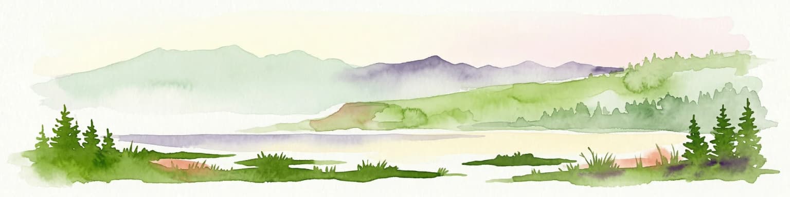
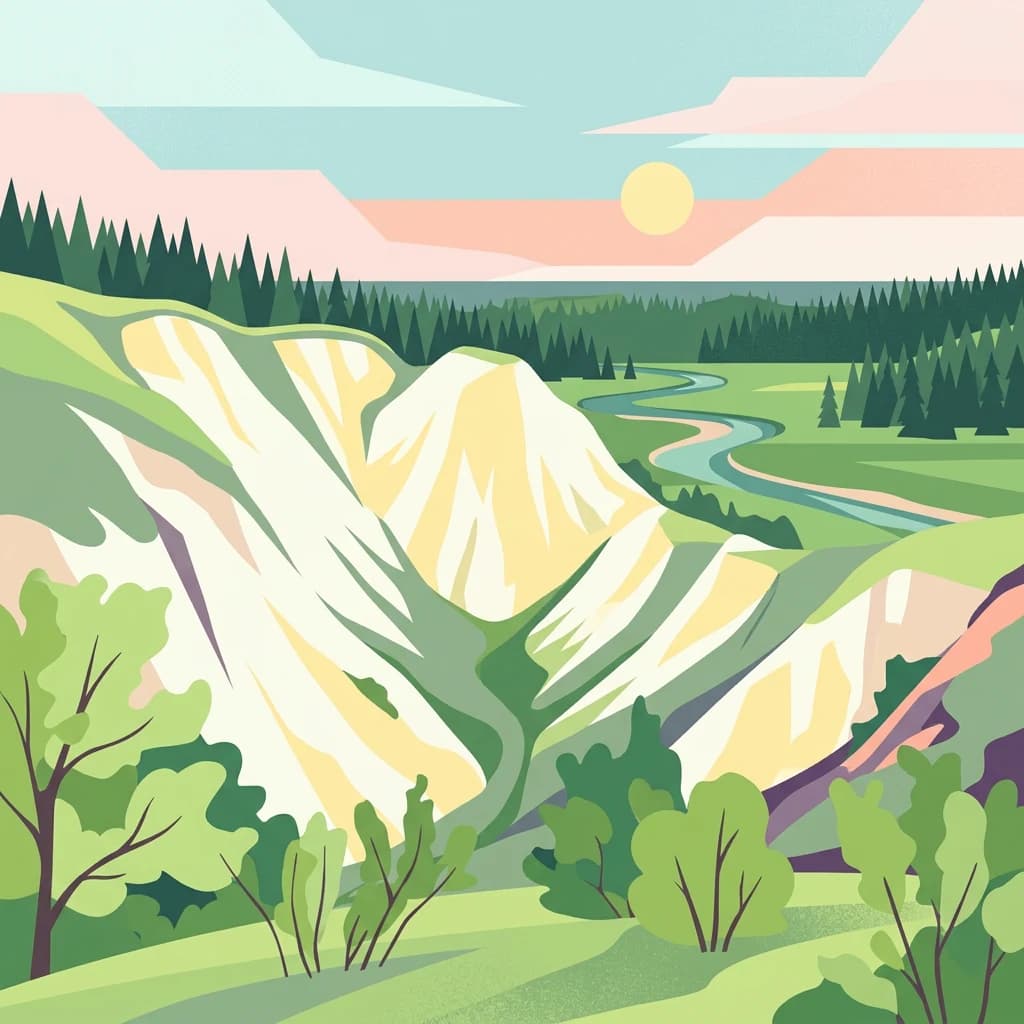
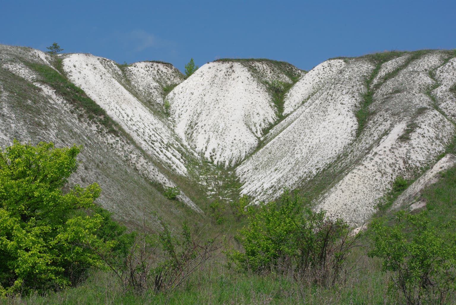
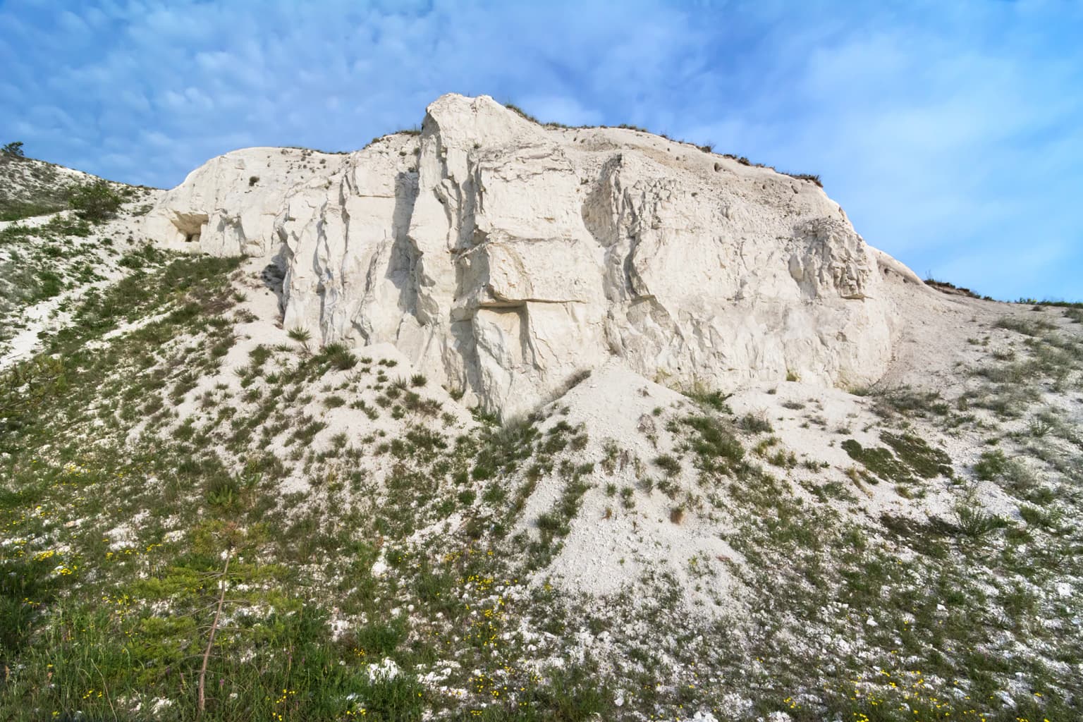
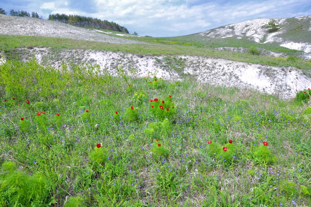
Dvorichna National Nature Park is best known for its exceptional chalk (kreida) formations and the unique ecosystem they support. The white chalk cliffs and hills along the Oskil River create a striking landscape that stands in vivid contrast to the surrounding steppe. This geological feature has preserved an extraordinary assemblage of endemic plant species, with approximately 30% of the flora unique to this area. The park protects some of Ukraine's last remaining intact chalk steppe communities, which are home to numerous rare and endangered species including steppe marmots, butterflies, and a diverse avian population. The combination of geological, botanical, and ecological values makes this park uniquely significant within the Ukrainian protected area network.

White rocky hills with patches of green vegetation under a clear blue sky, with green trees and bushes in the foreground
White rocky hills with patches of green vegetation under a clear blue sky

Dvorichna National Nature Park history and protected-area timeline

The scientific significance of the Dvorichna chalk formations was recognized as early as the 18th century, when the renowned explorer Peter Simon Pallas noted the need for detailed study of the unique flora. The first comprehensive descriptions of the chalk flora were provided by prominent botanists including A.M. Krasnov (1893), V.I. Taliev (1905), D.I. Litvinov (1902), and Ye.M. Lavrenko (1956). In the 1930s, the noted researcher of chalk outcrops, B.M. Kozo-Polianskyi, proposed establishing a reserve in the Oskil region to protect the vegetation growing on chalk deposits. Dedicated expedition work to document species composition began in 2001 and continued for nearly a decade, conducted by faculty and students from V.N. Karazin Kharkiv National University under the leadership of Professor Viktor Tokarskyi. These investigations revealed unique biocoenoses of global significance. In 2002, a project to create Dvorichna National Nature Park was developed and included in the Environmental Improvement Program for Kharkiv Oblast. The project was approved by the regional council in May 2002, and subsequent expeditions from 2002 to 2004 determined boundaries and documented flora and fauna. On December 11, 2009, by Presidential Decree No. 1044, Dvorichna National Nature Park was officially established with the goal of preserving the distinctive chalk flora, restoring and sustainably using valuable natural areas of the forest-steppe zone with significant environmental, recreational, and educational importance.

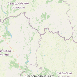
Dvorichna National Nature Park landscape and geographic character

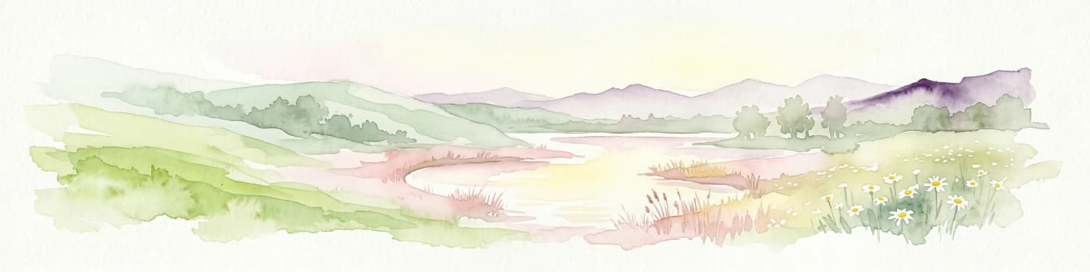
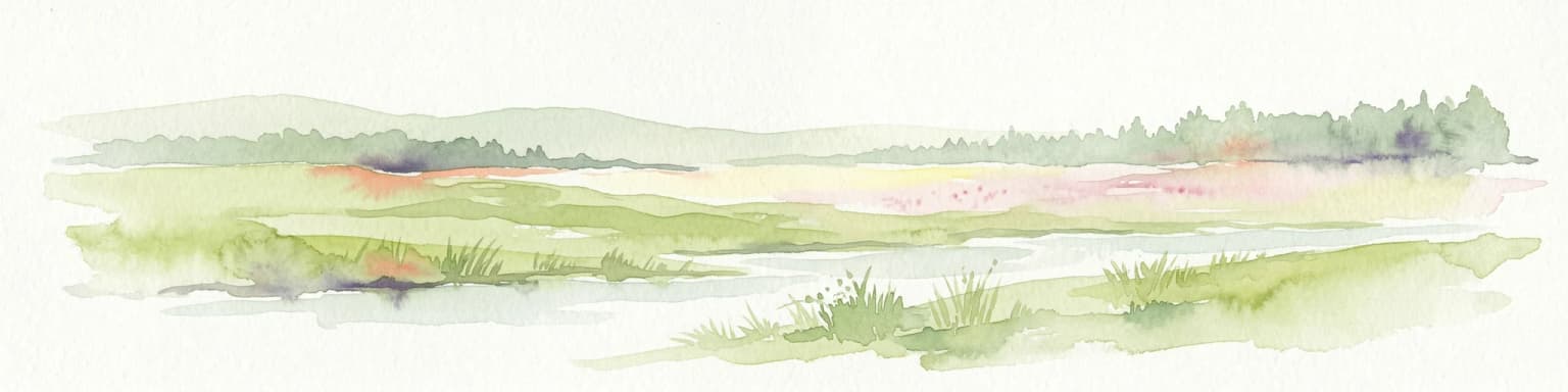
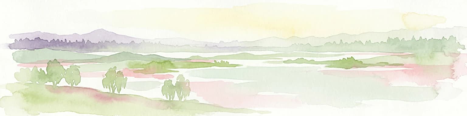
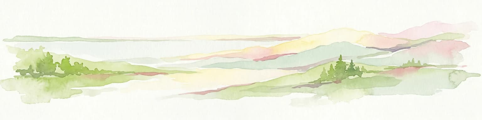
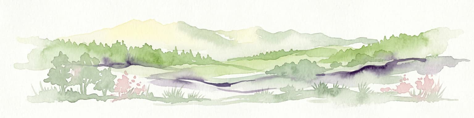
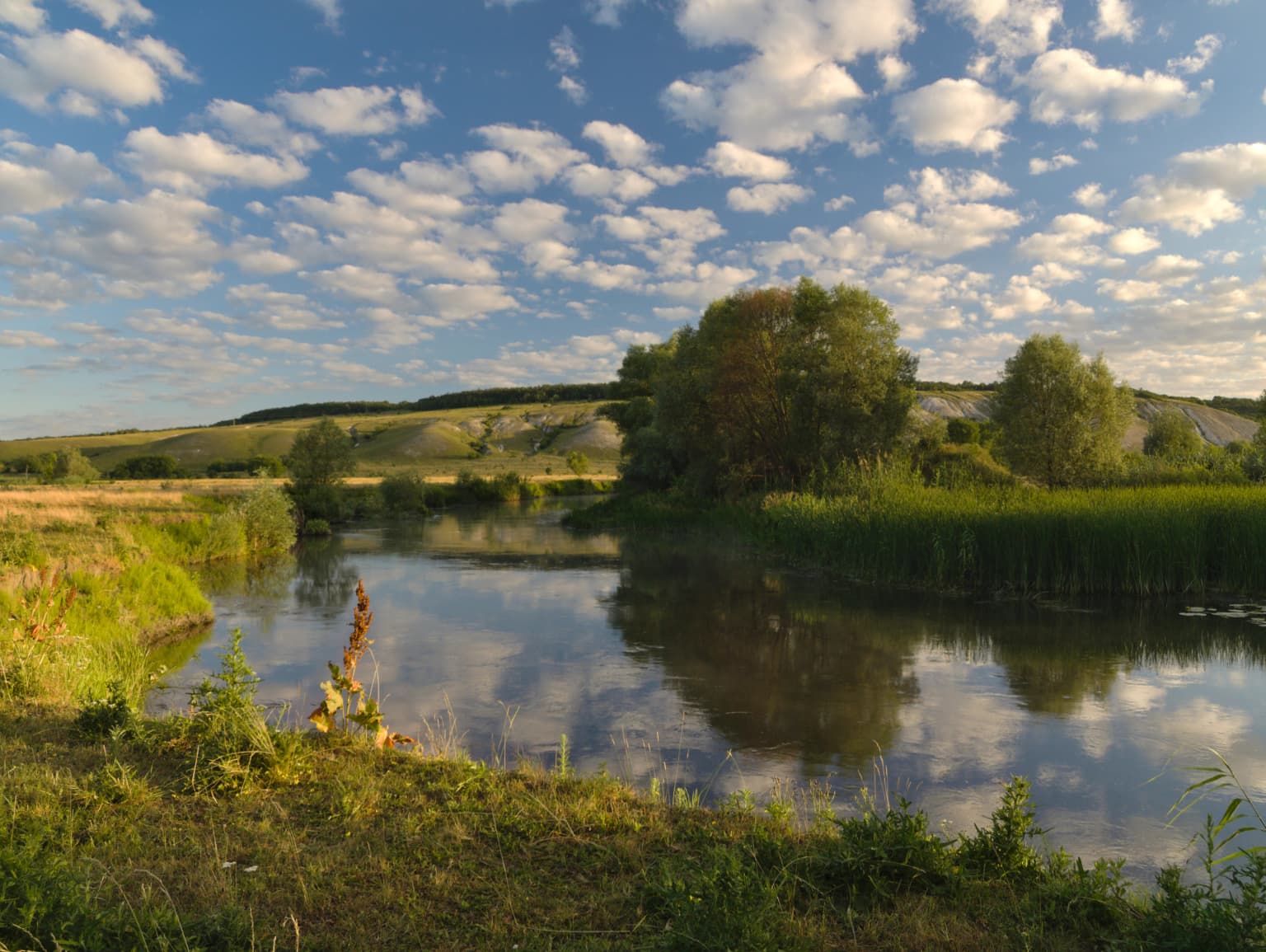
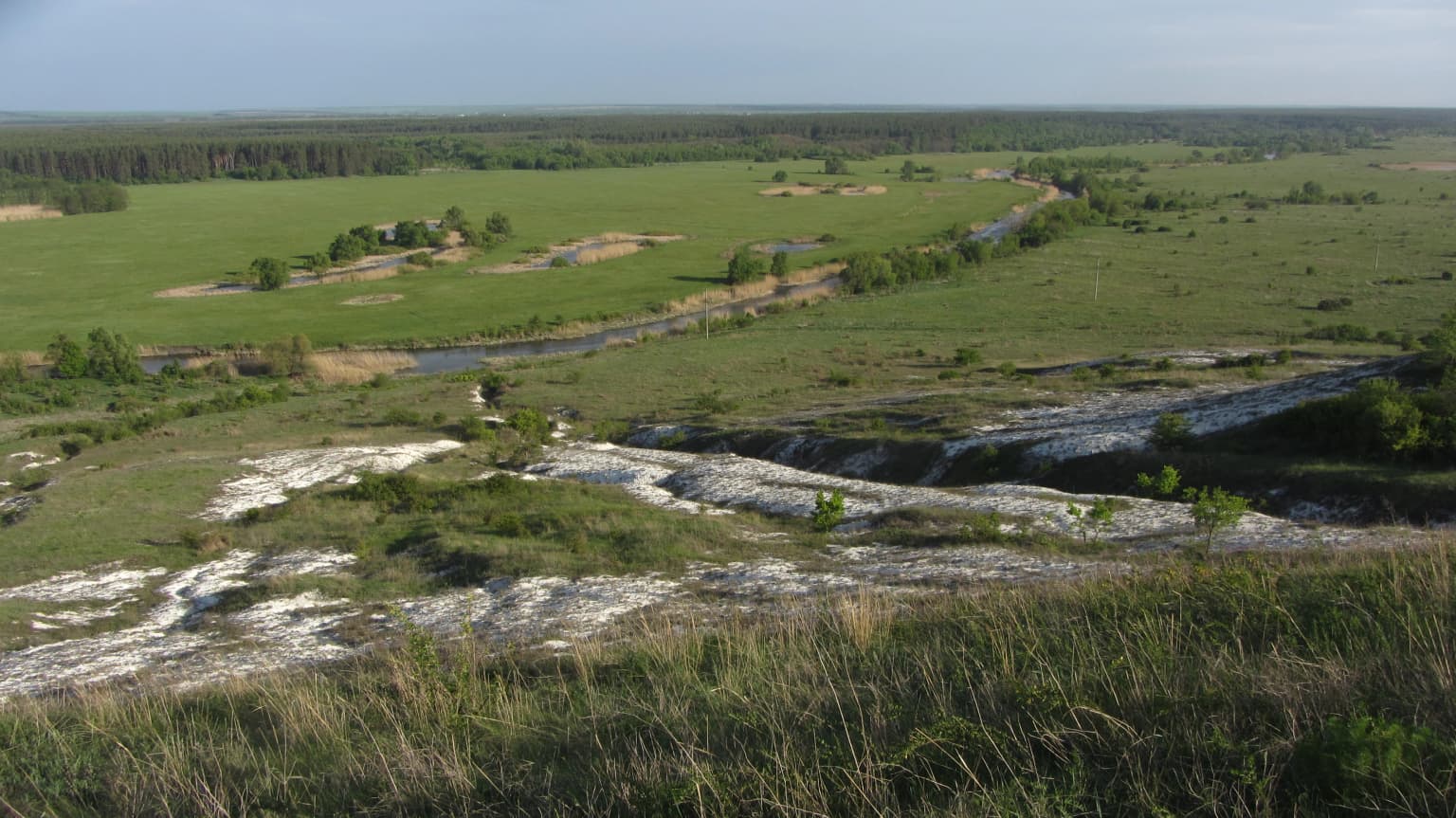
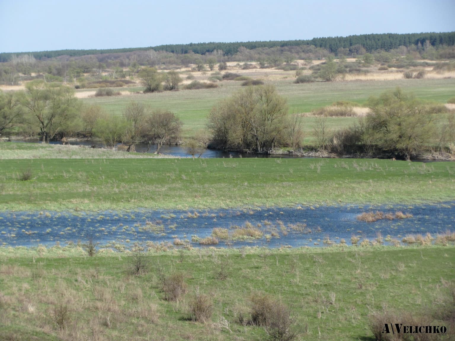
The terrain of Dvorichna National Nature Park is characterized by dissected topography with numerous valleys and slopes. The dominant landscape feature is the chalk mountains that form a continuous mass extending from the northeastern to southwestern parts of the park along the Oskil River valley. These chalk hills are part of the so-called chalk ridge stretching across the region from Vovchansk through Kupiansk to Svatove. The right bank of the Oskil River is notably steep and high, while the left bank is more gentle and sloping. The river valley contains three terrace types: floodplain, above-floodplain (sandy), and forest (steppe) terraces. Several streams, left tributaries of the Oskil, flow through the park, alongside numerous oxbow lakes and liman (wetland) lakes. The landscape includes slope terrain with gullies, sandy steppes and pine forests, floodplain meadows, riparian forests, and open chalk slopes. The region's geological history, including marine sedimentation over 22 million years ago during the Paleogene period, has created the distinctive chalk substrate that defines the park's character.

Calm river reflecting blue sky with scattered clouds, surrounded by green vegetation and rolling hills
Summer morning on the Oskil River

Dvorichna National Nature Park ecosystems, habitats, and plant life

The chalk soils and limestone bedrock of Dvorichna create a unique ecosystem of exceptional botanical significance. The park supports approximately 974 species of higher plants, lower plants, and fungi. Among 799 species of higher vascular plants, there are 47 moss species, 2 horsetail species, 3 fern species, 3 conifer species, and 742 flowering plant species. The research has documented 63 lichen species, 8 algae species, and 104 fungus species. The most remarkable characteristic is the high degree of endemism, with approximately 30% of plant species endemic to the area. The park protects plant species of conservation concern at multiple levels: 76 species are listed in the Red Book of Kharkiv Oblast, 37 species in the Red Book of Ukraine, 6 species in Appendix VI of the Bern Convention, 4 species in CITES appendices, and 3 species in the European Red List. Notable protected species include cretaceous knawel (Helianthus cretaceum), fragrant stock (Matthiola fragrans), dwarf irises, steppe almond, Donets sea lavender (Limonium donetzicum), and many others.

Wide landscape view of the Oskil River valley with grassy plains, rocky limestone formations, and distant forest under clear sky
Scenic view of the Oskil River flowing through grassy plains with rocky outcrops and distant forested areas

Dvorichna National Nature Park wildlife and species highlights

Dvorichna National Nature Park supports a remarkable diversity of wildlife, with approximately 2,448 species documented on its territory as of 2018, including 2,220 invertebrate species and 228 vertebrate species. The park is home to significant populations of steppe marmots, which have established colonies in the open grasslands. Among the protected species, 117 are listed in the Red Book of Kharkiv Oblast, 54 in the Red Book of Ukraine, 207 in the Bern Convention Appendices, 67 in the Bonn Convention Appendices, 26 in CITES Appendices, and 24 in the European Red List. The park provides critical habitat for rare species including the Ukrainian lamprey, Danylivsky's chub, the steppe polecat, the greater spotted eagle, the white-tailed eagle, and the European otter. The territory lies along a major bird migration route, offering opportunities to observe rare avian species. The diverse invertebrate community includes notable species such as the black eresus spider and the Mnemosyne butterfly, the latter depending exclusively on the Kozo-Polianskyi's breaking (Androsace koso-poljanskii) for survival.

A wide river flows through green meadows with scattered trees and distant forest under a clear sky
Spring landscape of Dvorichna National Nature Park with river, meadows, and scattered trees

Dvorichna National Nature Park conservation status and protection priorities

Dvorichna National Nature Park holds unique conservation significance as the only place in Ukraine where untouched chalk outcrops and their associated ecosystems have been preserved. The park protects 18 types of endangered natural habitats recognized under Resolution No. 4 of the Bern Convention. The protection of the chalk steppe ecosystem is particularly important because these habitats have been extensively degraded across their historical range throughout Europe. The two botanical reserves within the park, Chervony (established 1984, 49.8 hectares) and Konoplyane (established 1998, 315.9 hectares), form the core protected core zone and contain rare and endangered plant communities. The Chervony reserve protects chalk slopes with many relict, endemic, and rare species, including approximately 15 rare species for Kharkiv Oblast, 4 species in the European Red List, and 5 species in the Red Book of Ukraine. The Konoplyane reserve contains unique rare and endangered plant communities of chalk steppes listed in the Green Book of Ukraine, with 6 species in the European Red List, 4 in the Red Book of Ukraine, and 7 in the Red Lists of Kharkiv Oblast.

Dvorichna National Nature Park cultural meaning and human context

The Dvorichna region has a long human history intertwined with its distinctive landscape. The name Dvorichna derives from the Ukrainian word for a settlement near two rivers or streams. The park occupies territory within two rural councils: Kamianska and Piskivska. The surrounding villages of Novomlynsk (south), Krasne Pershe (east), Petrivka, Pysky (west), and Topoli (north) form the human context within which the protected area sits. While the park itself is focused on natural protection, the broader region has historical significance related to the Oskil River valley and the chalk outcrops that have been noted in scientific literature since the 18th century. The area remains relatively sparsely populated, contributing to the preserved state of the natural environment.

White chalk cliffs with sparse green vegetation on a hillside under a partly cloudy blue sky
Chalk cliffs in Dvorichna National Nature Park

Top sights and standout views in Dvorichna National Nature Park

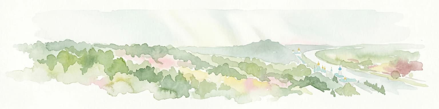
The defining highlight of Dvorichna National Nature Park is its extraordinary chalk landscape, where white cliff formations rise dramatically above the Oskil River, creating one of Ukraine's most visually striking protected areas. The park protects the unique Kreidiana Steppe Trail (5.2 kilometers) which winds between chalk outcrops and the river, allowing visitors to experience both chalk and riverine biogeocoenoses. The Zalomne Urochyshche Trail (2.89 kilometers) traverses forest and steppe environments. The exceptional botanical value, with 30% endemism and 107 protected plant species, makes the park globally significant for chalk steppe conservation. The presence of steppe marmot colonies, diverse raptors along the migration corridor, and rare butterfly species dependent on specific endemic plants adds to the ecological importance. The park also offers recreational opportunities including swimming in the Oskil, camping in designated areas, and exploring therapeutic mineral springs.

Green meadow with red and purple wildflowers, chalky white cliffs in background under a partly cloudy sky
Chalky cliffs and wildflowers in Dvorichna National Nature Park

Best time to visit Dvorichna National Nature Park

The park offers favorable conditions for approximately 80 days per year for recreation, with the most pleasant conditions typically occurring during the late spring and early autumn months. Summer brings warm temperatures ideal for swimming in the Oskil River and enjoying the sandy beaches, while the pine forests provide cooler retreats. Spring showcases the chalk steppe in bloom with colorful wildflower displays across the white hills. Autumn offers comfortable temperatures and the opportunity to observe migrating birds along the corridor. The park's distance from industrial pollution makes it one of the cleanest ecological areas in Ukraine, with therapeutic air quality year-round. Visitors interested in botanical observations may find spring and early summer most rewarding for viewing flowering plants, while bird watchers might prefer migration seasons.

Park location guide

Geography guide, regional context, and park location map for Dvorichna National Nature Park

Dvorichna National Nature Park park geography, regions, and map view in Ukraine
Understand where Dvorichna National Nature Park sits in Ukraine through a broader geographic reading of the surrounding landscape, nearby location context, and its mapped position within the national park landscape.

How Dvorichna National Nature Park fits into Ukraine

Ukraine is a sovereign nation in Eastern Europe, bordered by Russia, Belarus, Poland, Slovakia, Hungary, Romania, Moldova, and the Black Sea. It is the second-largest country in Europe by area. Kyiv is the capital and largest city, followed by Kharkiv, Odesa, and Dnipro. The official language is Ukrainian. Ukraine has a population of approximately 32.9 million and operates as a unitary semi-presidential republic.

Wider geography shaping Dvorichna National Nature Park in Ukraine

Ukraine occupies 603,628 km² in Eastern Europe, making it the second-largest country in Europe. It shares borders with Russia, Belarus, Poland, Slovakia, Hungary, Romania, and Moldova. The country has a southern coastline along the Black Sea and Sea of Azov. The terrain includes plains, steppes, and the Carpathian Mountains in the west.

Map view of Dvorichna National Nature Park

Use this park location map to pinpoint Dvorichna National Nature Park in Ukraine, understand its exact geographic position, and read its mapped placement within the surrounding landscape more clearly.

Pigeon | © OpenStreetMap contributors

Location context for Dvorichna National Nature Park

Kharkiv OblastKupiansk Raion

Explore the park's dramatic chalk cliffs, Oskil River valley scenery, and diverse steppe protected-area character.

Dvorichna National Nature Park Photos: Visual Guide to Ukraine's Unique Chalk Landscapes
Browse comprehensive images of Dvorichna National Nature Park to visually understand its extraordinary chalk landscapes and rich riverine habitats along the Oskil River. These photographs provide essential context for appreciating the park's geological significance and the protected-area character of its endemic plant and animal species.

White rocky hills with patches of green vegetation under a clear blue sky, with green trees and bushes in the foreground

Mountain range with snow-covered peaks in the distance, dense coniferous forest in the foreground, rocky outcrops, and a partly cloudy sky

Calm river reflecting blue sky with scattered clouds, surrounded by green vegetation and rolling hills

Wide landscape view of the Oskil River valley with grassy plains, rocky limestone formations, and distant forest under clear sky

A wide river flows through green meadows with scattered trees and distant forest under a clear sky

Flooded river with tree reflections in calm water and distant horizon under fading light

White chalk cliffs with sparse green vegetation on a hillside under a partly cloudy blue sky

Green meadow with red and purple wildflowers, chalky white cliffs in background under a partly cloudy sky

Wide landscape view of grassy fields with scattered livestock, patches of trees, and a dense forest in the background under a partly cloudy sky

A wide river with calm water reflecting the sky and surrounding vegetation, bordered by tall grasses and trees under a partly cloudy sky

A wide landscape view of rocky hills with white and gray rock layers interspersed with green vegetation under a partly cloudy sky.

White chalk cliff with vertical rock formations and sparse vegetation at the top

White chalk rocks with small blue flowers growing among them

Layered chalk cliffs with grassy slopes and scattered trees under overcast sky

Chalk hills with scattered trees showing autumn colors and grassy slopes

Chalk hillside with layered rock formations, green grassy field, scattered trees with autumn colors, and overcast sky

Park atlas

Compare unique chalk steppe, riverine ecosystems, and significant protected landscapes across Eastern Ukraine.

Explore Other National Parks and Protected Areas Near Dvorichna National Nature Park
Explore additional national parks and protected areas adjacent to Dvorichna National Nature Park, tracing Ukraine's distinctive chalk steppe and riverine ecosystems. Deepen your understanding of regional conservation efforts and diverse landscapes by comparing these important protected areas within a broader geographic context.
Watercolor illustration showing a river winding through a forested valley with rolling hills and distant mountains under a light sky
National parkDonetsk Oblast

Holy Mountains National Nature Park: Donetsk Oblast Protected Landscape

Mapped boundaries and regional geographic context.

This entry details Holy Mountains National Nature Park, a protected national park located in Donetsk Oblast, Ukraine. It serves as a key point for exploring the mapped protected areas and natural landscapes within the Donbas region. Understand the park's geographic significance and its place within the atlas of eastern Ukraine's diverse terrain and conservation efforts.

Area
406 km²
Established
1997
IUCN
II
Relief
Mixed relief
Watercolor illustration showing a valley with a winding river, green trees, and distant purple mountains under a light sky
National parkKharkiv Oblast

Homilsha Woods National Nature Park: National Park & Protected Landscape Atlas

Ancient oak woodlands and river valley geography in Kharkiv Oblast.

Delve into the protected natural heritage of Homilsha Woods National Nature Park, a significant national park situated in Ukraine's Kharkiv Oblast. This park preserves exceptional examples of ancient oak forests, some hundreds of years old, set within a complex geographic transition zone between steppe and forest ecosystems. Its diverse terrain, including hilly uplands and riverine plains, provides a compelling subject for mapped landscape discovery and understanding regional protected area distribution.

Area
143 km²
Established
2004
IUCN
II
Relief
Upland
National parkKharkiv Oblast

Sloboda National Nature Park: National Park Protected Landscape in Kharkiv Oblast

Mapped Boundaries and Regional Geography Exploration

Investigate Sloboda National Nature Park, a recognized national park situated within Ukraine's Kharkiv Oblast. This page offers detailed insights into its protected landscape, focusing on its geographic setting and mapped terrain. Understand how this park contributes to the regional geography of Sloboda Ukraine and explore its mapped boundaries for a structured atlas discovery experience.

Area
52.44 km²
Established
2009
IUCN
II
Relief
Mixed relief
National parkSumy Oblast

Hetman National Nature Park: National Park Geography and Protected Landscape Atlas

Mapped protected area within Sumy Oblast, Ukraine.

Explore Hetman National Nature Park, a designated national park situated in Sumy Oblast, Ukraine. This page offers a detailed look at its geographic setting, mapped boundaries, and role as a protected landscape. Understand its place within the regional geography of northeastern Ukraine and utilize MoriAtlas for structured map-based discovery of this significant natural area.

Area
234 km²
Established
2009
IUCN
II
Relief
Lowland
Watercolor painting of a coastal scene with green hills, trees, and a body of water
National parkDonetsk Oblast

Meotyda National Nature Park: Coastal Wetlands and Bird Migration Hub in Donetsk Oblast

Explore protected park boundaries and unique Azov Sea ecosystems.

Meotyda National Nature Park protects a critical stretch of the Sea of Azov coastline, featuring diverse habitats such as coastal wetlands, estuaries, and steppe. Located in Donetsk Oblast, this national park is internationally recognized for its importance to migratory birds, supporting millions of waterfowl and over 100 nesting bird species annually. MoriAtlas offers an in-depth view of its geographic setting, mapped protected area, and its role within regional ecological corridors, providing essential context for understanding this significant Ukrainian natural landscape.

Area
207.21 km²
Established
2009
IUCN
II
Relief
Lowland
Watercolor depiction of a river flowing through wetlands with green vegetation, trees, and distant hills under a soft sky
National parkPoltava Oblast

Lower Sula National Nature Park: Protected Wetlands and River Floodplain Atlas Explorer

Mapped boundaries and geography of this Ukrainian national park.

Discover the detailed geography and protected landscape features of Lower Sula National Nature Park, located in Poltava Oblast, Ukraine. This page provides an atlas-level view of its critical wetland habitats, including marshes and shallow lakes, which are vital for waterfowl and fish spawning. Explore the park's unique position within the Sula River floodplain and its ecological significance as a national nature park, offering rich context for geographic study.

Area
186 km²
Established
2010
IUCN
II
Relief
Lowland
Watercolor illustration of a landscape with rolling hills, a body of water, and greenery
National parkZaporizhzhia Oblast

Grand Meadow National Nature Park: National Park Protected Landscape and Regional Geography

Explore the mapped boundaries and natural terrain.

Grand Meadow National Nature Park represents a distinct protected landscape within Zaporizhzhia Oblast, Ukraine. As a national park, its designation signifies an area managed for conservation and geographic study. This entry on MoriAtlas details the park's physical presence, offering users the opportunity to explore its mapped terrain, understand its role in regional geography, and place it within the broader atlas of Ukrainian protected areas. It is ideal for users seeking concrete landscape context and precise geographic data.

Area
168 km²
Established
2006
IUCN
II
Relief
Lowland
National parkPoltava Oblast

Pyriatyn National Nature Park: Detailed Atlas View of Ukrainian River Valley Protected Landscapes

Explore Poltava Oblast's unique wetland and floodplain ecosystems.

Pyriatyn National Nature Park provides an exceptional case study of a complete river valley ecosystem within Ukraine's Poltava Oblast. This protected area showcases a distinct topographic sequence, transitioning from upland terraces to extensive floodplain wetlands and the meandering Udai River. Discover the park's significant role in conserving boreal plant species at their southern range limits and its importance as a mapped natural landscape for geographic atlas exploration.

Area
120 km²
Established
2009
IUCN
II
Relief
Lowland

Common questions about visiting, size, designation, and location context for Dvorichna National Nature Park

Dvorichna National Nature Park FAQs for park facts, access, geography, and protected area context
Find quick answers about Dvorichna National Nature Park, including protected-area facts, park geography, trail and visitor context, and how the park fits into its surrounding country and regional landscape.
MoriAtlas Explorer

Continue Your Protected Areas Search Across the Global Atlas

Deepen your exploration by continuing the structured search for national parks and protected areas worldwide. Utilize the comprehensive filtering capabilities to compare different conservation landscapes and refine your understanding of global park geography. Discover more about the distribution and characteristics of protected natural areas.

Global natural geography