Mori Atlas logo
National parkBug Gard National Nature Park

Detailed geographic context and atlas exploration for this significant national park.

Bug Gard National Nature Park: Mapped Protected Landscape and Regional Geography in Mykolaiv Oblast

Bug Gard National Nature Park stands as a protected natural area within the geographic context of Mykolaiv Oblast, Ukraine. This page offers a comprehensive view of the park's protected landscape, focusing on its mapped boundaries and its role within the region's natural terrain. Engage with an atlas-driven exploration to understand Bug Gard National Nature Park's unique geographic identity and its place in the broader landscape.

Canyon landscapeRiver protected areaGranite outcropsPontic-Caspian steppeUkrainian ShieldEcotourism

Bug Gard National Nature Park

National park

Park overview

Structured park overview, official facts, and landscape profile for Bug Gard National Nature Park

Bug Gard National Nature Park park facts, protected area profile, and essential visitor context
Review the core facts for Bug Gard National Nature Park, including designation, size, terrain, visitor scale, habitats, and operating context in one park-focused overview.

About Bug Gard National Nature Park

Bug Gard National Nature Park represents one of Ukraine's most distinctive protected landscapes, protecting a remarkable canyon system along the Southern Bug River in south-central Ukraine. The park's core significance lies in its dramatic geological character, where the river has incised a deep canyon through the ancient rock of the Ukrainian Shield, creating a landscape of considerable scenic and ecological value that stands in sharp contrast to the surrounding steppe plains. The protected area encompasses multiple tracts spread across Voznesensk and Pervomaisk districts, with the major portions centered on the river canyon approximately 140 kilometers upstream from the Black Sea estuary. The name 'gard' carries historical meaning, referring to fishing structures employed by Cossack communities along the river in centuries past. The park's establishment in 2009 formalized protections for a landscape whose unique natural character had been recognized since the early twentieth century, with documentation appearing in Soviet-era publications as early as 1929 that identified the area among 250 most important natural objects requiring protection across the USSR. The park's ecological significance derives from its position at a biogeographic crossroads where forest and steppe ecosystems meet, creating habitat diversity that supports remarkable plant and animal communities.

Quick facts and research context for Bug Gard National Nature Park

Bug Gard National Nature Park spans 6,138 hectares along the Southern Bug River in Mykolaiv Oblast, Ukraine. Established in 2009 under the Ministry of Ecology and Natural Resources, the park received IUCN category II status as a national park. The park encompasses the granite canyon corridor where the Southern Bug transitions from the upland Ukrainian Shield to the Pontic-Caspian steppe region. This transitional position creates diverse habitats supporting approximately 900 plant species and 300 vertebrate species. The park overlaps with the Granite-steppe lands of Buh Regional Landscape Park, which provides additional scenic protection status.

Park context

Deeper park guide and search-rich context for Bug Gard National Nature Park

Bug Gard National Nature Park history, landscape, wildlife, and travel context
Explore Bug Gard National Nature Park through its history, landscape character, ecosystems, wildlife, conservation priorities, cultural context, and seasonal travel timing in a structured park guide built for atlas discovery and search intent.

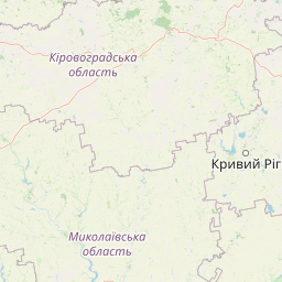
Why Bug Gard National Nature Park stands out

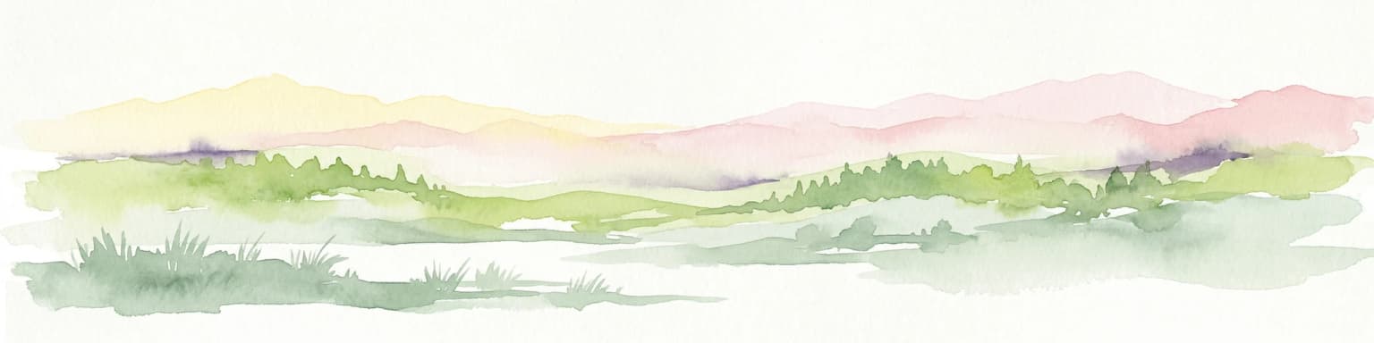
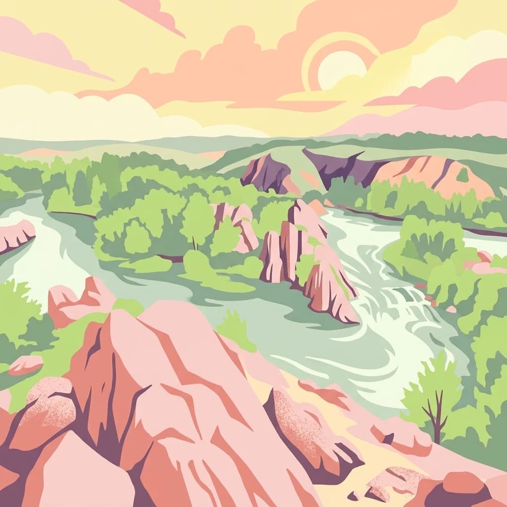
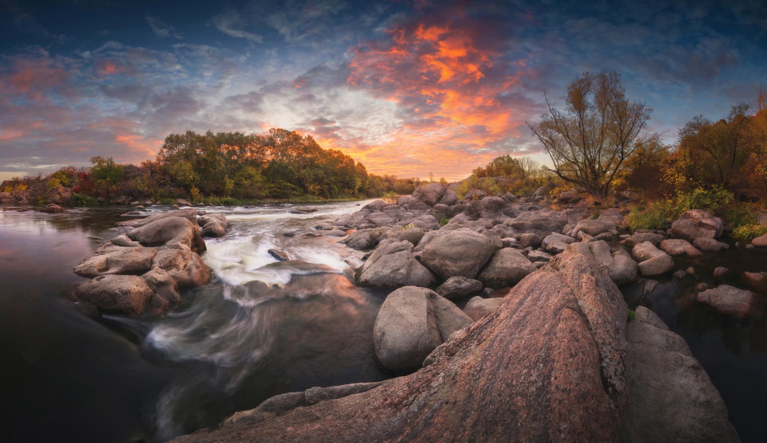
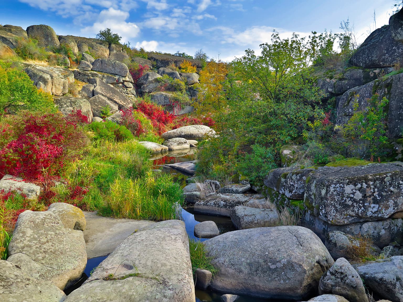
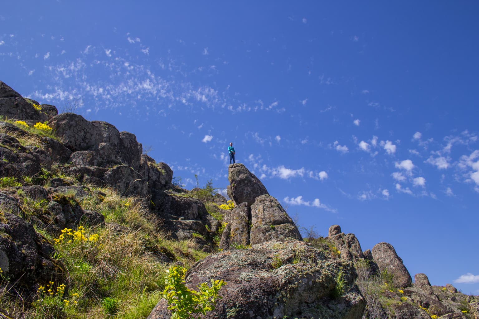
Bug Gard is best known for its distinctive canyon landscape carved by the Southern Bug River through ancient Archean granite formations. The dramatic river gorge features rocky terrain with numerous rapids, islands, and exposed rock ledges that create a visually striking environment uncommon in Ukraine's typically flat terrain. The park occupies a critical ecological transition zone bridging upland forest ecosystems with lowland steppe habitats, resulting in high biodiversity concentrated in a relatively compact area. The Aktove Canyon and Arbuzynka Canyon represent the park's most spectacular geological features.

Bug Gard National Nature Park history and protected-area timeline

The recognition of Bug Gard's unique natural landscape extends back nearly a century. As early as 1920, information about the exceptional natural features of what is now the protected area had spread beyond Ukraine's borders. In 1929, the Soviet journal 'Kraevedenie' published a list of natural sites and objects requiring protection, compiled by A.P. Vasylkivsky for the Commission for the Protection of Nature, Monuments of Art, Life and Antiquity at the Leningrad Group of the Central Bureau of Local Lore. This list included the Bug Gard area among the 250 most significant natural objects in need of protection across the entire Soviet Union, establishing early recognition of the site's national importance. The park was formally established in 2009 under the governance of Ukraine's Ministry of Ecology and Natural Resources, achieving national park status with IUCN category II classification that provides stronger protection than the earlier Regional Landscape Park designation.

Bug Gard National Nature Park landscape and geographic character

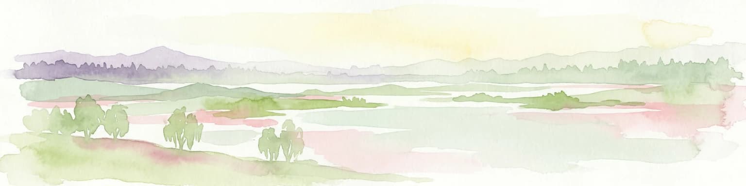
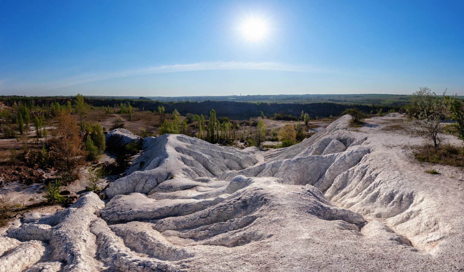
The Bug Gard landscape is defined by the Southern Bug River's passage through a granite canyon where it transitions from the upland Ukrainian Shield plateau to the Black Sea steppe lowlands. The canyon features steep walls of exposed Archean granite with numerous ledges, rock outcrops, and cliff faces that create a rugged, varied terrain. The river itself contains multiple rapids and islands as it winds through the gorge, with the water course dropping in elevation relatively quickly through this narrow corridor. The surrounding terrain includes rocky sections with brush and sedges transitioning to steppe vegetation on the higher plateau above the canyon rim. Granite boulders and rock formations are prominent features throughout the canyon, giving the landscape its distinctive character.

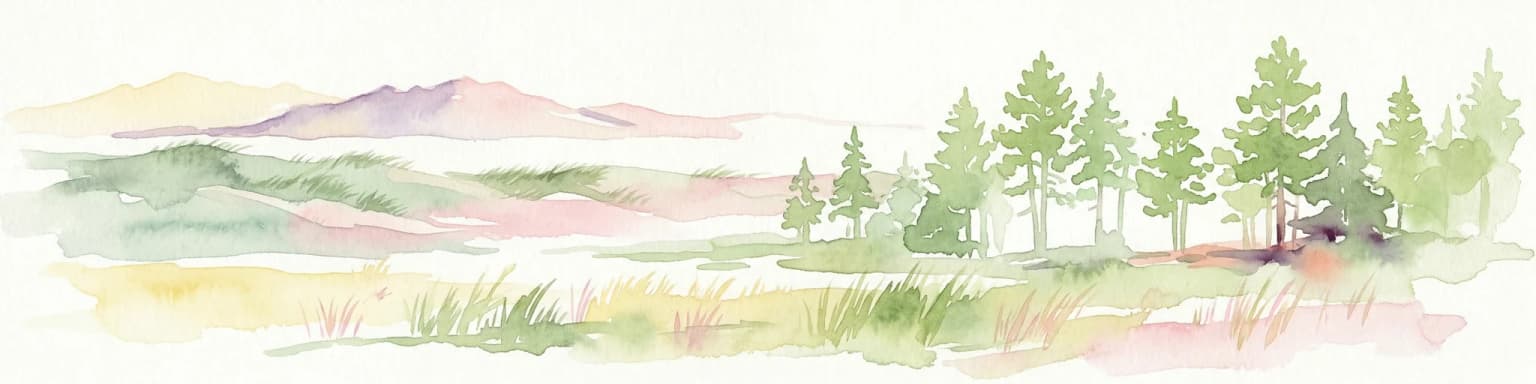
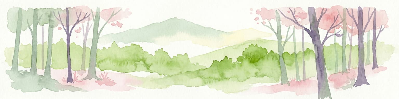
Bug Gard National Nature Park ecosystems, habitats, and plant life

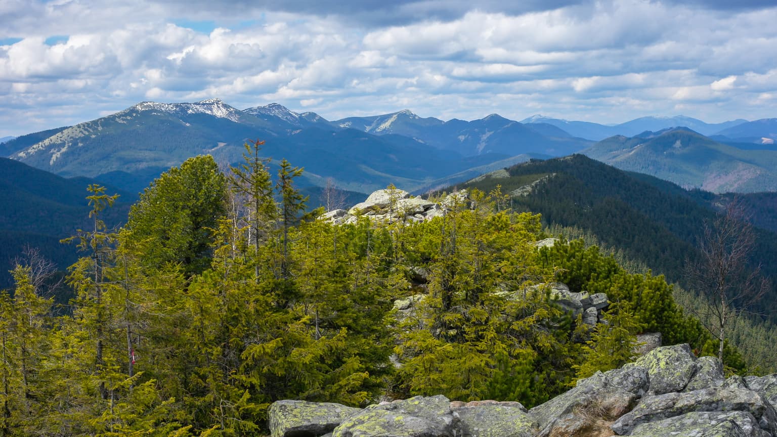
The ecological character of Bug Gard reflects its position at a critical biogeographic interface between the forested uplands and the open steppe lowlands of the Pontic-Caspian ecoregion. This transitional position creates a mosaic of habitats supporting remarkable biodiversity. Scientists working within the park have documented approximately 900 species of plants and 300 species of vertebrates, numbers that indicate significant ecological richness for a protected area of this size. The upper plateau areas support partial forest cover, while the canyon zone features rocky terrain with brush and sedges that transition to steppe vegetation communities at lower elevations. The humid continental climate with warm summers and cold, snowy winters, receiving approximately 450 to 500 millimeters of annual precipitation, supports this diverse vegetation mosaic.

Bug Gard National Nature Park wildlife and species highlights

Bug Gard supports substantial wildlife diversity due to its transitional position between forest and steppe ecosystems. Park scientists have documented 300 vertebrate species within the protected area, reflecting the ecological richness created by the mix of habitats from the river canyon to the surrounding uplands and steppe. The granite outcrops, forest patches, and riparian corridors provide diverse microhabitats supporting varied animal communities. While specific species details are limited in the source material, the documented vertebrate count indicates a meaningful population of mammals, birds, reptiles, amphibians, and fish adapted to the canyon and steppe environments.

Bug Gard National Nature Park conservation status and protection priorities

Bug Gard holds conservation significance as a protected canyon landscape in a region where such geological features are rare. The park's establishment in 2009 formalized protection for an area whose ecological value had been recognized since the early Soviet period. The national park status provides stronger legal protections than the earlier Regional Landscape Park designation, ensuring sustained conservation of the granite canyon ecosystem and its associated biodiversity. The overlap with the Granite-steppe lands of Buh Regional Landscape Park adds an additional layer of scenic protection. The park protects critical habitat at a biogeographic transition zone, conserving both the unique geological formations and the ecological corridors that support species moving between forest and steppe environments.

Bug Gard National Nature Park cultural meaning and human context

The park's name carries cultural significance rooted in the region's Cossack heritage. The term 'gard' refers to a type of fishing structure used by Cossack communities along the Southern Bug River during the historical period when these semi-autonomous military communities inhabited the steppe regions of Ukraine. This linguistic connection links the protected landscape to centuries of human interaction with the river, though the park itself is managed primarily as a natural rather than cultural heritage site.

Top sights and standout views in Bug Gard National Nature Park

Bug Gard National Nature Park stands out for its dramatic canyon landscape carved through ancient granite by the Southern Bug River, a rare geological feature in Ukraine's predominantly flat terrain. The Aktove Canyon and Arbuzynka Canyon represent the park's most spectacular visual features. The park's ecological significance derives from its position at a biodiversity crossroads where forest and steppe ecosystems meet, supporting approximately 900 plant species and 300 vertebrate species within a relatively compact area of 6,138 hectares. The park preserves both the unique geological formations of the Ukrainian Shield corridor and the ecological transition zone between upland and lowland Ukraine.

Best time to visit Bug Gard National Nature Park

The park can be visited year-round, though the transitional continental climate with cold snowy winters influences accessibility. The warmest months from May through September offer the most comfortable conditions for exploring the canyon trails and outdoor recreation. The dramatic canyon landscapes are particularly striking during the changing seasons, with autumn providing colorful foliage along the river corridor and the rocky terrain offering distinct visual contrasts between seasons.

Park location guide

Geography guide, regional context, and park location map for Bug Gard National Nature Park

Bug Gard National Nature Park park geography, regions, and map view in Ukraine
Understand where Bug Gard National Nature Park sits in Ukraine through a broader geographic reading of the surrounding landscape, nearby location context, and its mapped position within the national park landscape.

How Bug Gard National Nature Park fits into Ukraine

Ukraine is a sovereign nation in Eastern Europe, bordered by Russia, Belarus, Poland, Slovakia, Hungary, Romania, Moldova, and the Black Sea. It is the second-largest country in Europe by area. Kyiv is the capital and largest city, followed by Kharkiv, Odesa, and Dnipro. The official language is Ukrainian. Ukraine has a population of approximately 32.9 million and operates as a unitary semi-presidential republic.

Wider geography shaping Bug Gard National Nature Park in Ukraine

Ukraine occupies 603,628 km² in Eastern Europe, making it the second-largest country in Europe. It shares borders with Russia, Belarus, Poland, Slovakia, Hungary, Romania, and Moldova. The country has a southern coastline along the Black Sea and Sea of Azov. The terrain includes plains, steppes, and the Carpathian Mountains in the west.

Map view of Bug Gard National Nature Park

Use this park location map to pinpoint Bug Gard National Nature Park in Ukraine, understand its exact geographic position, and read its mapped placement within the surrounding landscape more clearly.

Pigeon | © OpenStreetMap contributors

Location context for Bug Gard National Nature Park

Mykolaiv Oblast
Park atlas

Trace the broader geographic context and diverse protected landscapes surrounding Bug Gard National Nature Park in Mykolaiv Oblast.

Explore Nearby National Parks and Protected Areas Beyond Bug Gard National Nature Park
From Bug Gard National Nature Park, discover additional national parks and protected areas across Mykolaiv Oblast and the broader Southern Ukraine region. Compare diverse canyon landscapes, riverine protected areas, and unique granite formations within a wider geographic atlas of Ukraine's natural heritage.
National parkMykolaiv Oblast

Ivory Coast of Sviatoslav National Nature Park: National Park Identity and Regional Geography

Mapped protected area in Mykolaiv Oblast, Ukraine.

Gain a structured understanding of Ivory Coast of Sviatoslav National Nature Park, a designated national park in the Mykolaiv Oblast region of Ukraine. This entry focuses on its protected landscape identity and its position within the broader regional geography. Explore the mapped outlines and discover its significance as a key protected territory for atlas-based research and geographic context.

Area
352 km²
Established
2009
IUCN
II
Relief
Lowland
Watercolor illustration of a winding river through a landscape with hills and trees
National parkOrhei District

Orhei National Park: Explore Moldova's Inaugural National Park Landscape

Mapped protected boundaries and regional geography in Orhei District.

As Moldova's first national park, Orhei National Park offers a rich exploration of the Codri region's characteristic hilly terrain and extensive deciduous forests. Situated within Orhei District, this protected area encompasses the meandering Răut River valley and notable landscape reserves. Its designation highlights a crucial commitment to preserving both the natural beauty and the significant cultural heritage, including the UNESCO candidate site of Old Orhei, making it a key destination for understanding Moldova's protected lands and regional geography.

Area
337.92 km²
Established
2013
IUCN
II
Relief
Highland
Watercolor illustration of a landscape with hills, a river, and green vegetation
National parkOdesa Oblast

Lower Dniester National Nature Park: National Park Map and Protected Landscape Atlas

Explore Odesa Oblast's protected natural geography and park boundaries.

The Lower Dniester National Nature Park is a vital component of Ukraine's protected lands, situated within the expansive Odesa Oblast. This page offers detailed geographic context, focusing on the park's mapped boundaries and its contribution to the regional landscape. Dive into an atlas-style exploration that highlights the park's protected terrain and its significance within the natural geography of southwestern Ukraine, offering structured discovery beyond basic park facts.

Area
213 km²
Established
2008
IUCN
II
Relief
Lowland
National parkKyiv Oblast

Bile Ozero National Nature Park: Detailed National Park Atlas and Geography

Explore protected landscape boundaries in Kyiv Oblast.

Delve into Bile Ozero National Nature Park, a prominent national park situated in Kyiv Oblast, Ukraine. This entry provides a focused atlas-style exploration of the park's protected area status and its precise geographic positioning. Understand the mapped contours of this natural landscape and its regional context, essential for comprehensive geographic discovery on MoriAtlas.

Area
70.14 km²
Established
2009
IUCN
II
Scope
Terrestrial
Watercolor illustration of a landscape with grassy fields, trees, a river, and distant hills.
National parkKherson Oblast

Oleshky Sands National Nature Park: Mapping Ukraine's Distinctive Semi-Arid Dune Landscape

Explore protected sandy steppe, dunes, and conservation areas in Kherson Oblast.

Oleshky Sands National Nature Park is a critical protected landscape in Kherson Oblast, Ukraine, renowned for its unusual semi-arid terrain dominated by expansive sand dunes and sandy steppe. This page provides detailed geographic context for the park, highlighting its unique mapped boundaries, the contrast between its Radensk and Burkut zones, and its ecological importance as part of the Pontic-Caspian steppe. Understand the specific landscape features and regional geography that make this national park a significant natural asset within Ukraine's protected area network.

Area
80.2 km²
Established
2010
IUCN
II
Relief
Mixed relief
Watercolor depiction of a river flowing through wetlands with green vegetation, trees, and distant hills under a soft sky
National parkPoltava Oblast

Lower Sula National Nature Park: Protected Wetlands and River Floodplain Atlas Explorer

Mapped boundaries and geography of this Ukrainian national park.

Discover the detailed geography and protected landscape features of Lower Sula National Nature Park, located in Poltava Oblast, Ukraine. This page provides an atlas-level view of its critical wetland habitats, including marshes and shallow lakes, which are vital for waterfowl and fish spawning. Explore the park's unique position within the Sula River floodplain and its ecological significance as a national nature park, offering rich context for geographic study.

Area
186 km²
Established
2010
IUCN
II
Relief
Lowland
National parkUkraine

Holosiiv National Nature Park: Ukraine's Protected Area and Mapped Landscape

Explore geographic boundaries and regional context.

Holosiiv National Nature Park represents a significant protected natural landscape within Ukraine. This detail page offers in-depth atlas exploration of the park's mapped boundaries and its integration into the country's regional geography. Understand the value of this protected area through structured geographic data and visual context, enabling a deeper appreciation of its unique landscape identity within the national park system.

Area
45.255 km²
Established
2007
IUCN
II
Relief
Lowland
National parkBilhorod-Dnistrovskyi Raion

Tuzly Lagoons National Nature Park: National Park Atlas and Geographic Context

Mapped protected landscape within Bilhorod-Dnistrovskyi Raion, Ukraine.

Navigate the protected landscape of Tuzly Lagoons National Nature Park through a detailed geographic lens. This national park entry within MoriAtlas provides structured information on its mapped boundaries and regional context within Bilhorod-Dnistrovskyi Raion, part of Ukraine's Bessarabia region. Understand its position and significance as a protected natural area, facilitating a deeper exploration of its geographical attributes and its place in the broader atlas of Ukrainian protected lands.

Area
278.65 km²
Established
2010
IUCN
II
Relief
Lowland

Common questions about visiting, size, designation, and location context for Bug Gard National Nature Park

Bug Gard National Nature Park FAQs for park facts, access, geography, and protected area context
Find quick answers about Bug Gard National Nature Park, including protected-area facts, park geography, trail and visitor context, and how the park fits into its surrounding country and regional landscape.
MoriAtlas Explorer

Continue Your Protected Areas Search Across the Global Atlas

Deepen your exploration by continuing the structured search for national parks and protected areas worldwide. Utilize the comprehensive filtering capabilities to compare different conservation landscapes and refine your understanding of global park geography. Discover more about the distribution and characteristics of protected natural areas.

Global natural geography