
Waterfalls
Park geography
A comprehensive look at the physical dimensions and environmental landscape of this protected area.
Cairngorms National Park Geographic Profile: Boundaries, Terrain, and Regional Landscape Context
Examine the detailed geographic structure of Cairngorms National Park, encompassing 4,528 square kilometers of mountain terrain across five Scottish regions. This profile maps the perimeter and spatial distribution of the protected area, highlighting the diverse natural features, river valleys, and habitats within its defined boundaries.
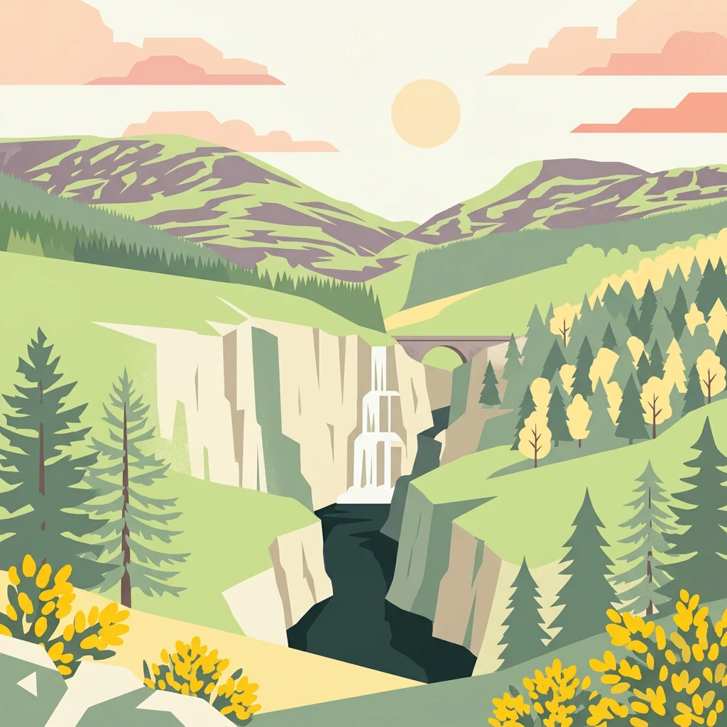
Scotland's largest national park with arctic-alpine mountain terrain and ancient Caledonian forest
Cairngorms National Park
Cairngorms National Park is a vast protected landscape in northeast Scotland, established in 2003 as the second national park in Scotland following Loch Lomond and The Trossachs. Covering 4,528 square kilometres, it is the largest national park in the United Kingdom, encompassing the dramatic Cairngorms mountain range alongside surrounding hill ranges including the Angus Glens and Monadhliath, as well as straths such as Strathspey and upper Deeside. The park spans five council areas: Aberdeenshire, Moray, Highland, Angus, and Perth and Kinross, following a 2010 expansion. Around 18,000 people live within the park boundaries, distributed across communities including Aviemore, Ballater, Braemar, Grantown-on-Spey, Kingussie, Newtonmore and Tomintoul. The park is designated as an IUCN Category V protected landscape, reflecting centuries of human interaction with the environment that have shaped its distinctive semi-natural character.
- Location
- United Kingdom
- Park type
- National park
- Established
- 2003
- Area
- 4,528 km²
Location overview
Regional location and administrative boundaries within Scotland
Geographic Setting of Cairngorms National Park in the United Kingdom
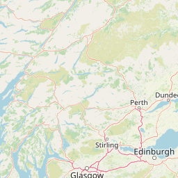
Located in the United Kingdom, Cairngorms National Park spans Scotland across Highland, Aberdeenshire, Moray, Perth and Kinross, and Angus. The inland park has no coastal, island, marine, or transboundary status.
- Countries
- United Kingdom
- Regions
- Aberdeenshire, Angus, Highland, Moray, Perth and Kinross, Scotland
- Primary location
- Scotland
- Geographic setting
- Inland
Boundary and coordinates
Footprint dimensions and spatial extent covering 4,528 square kilometers
Cairngorms National Park Boundary Map and Spatial Dimensions
Mapped boundary geometry illustrates the spatial footprint of Cairngorms National Park. Accompanying records detail the area of 4,528 square kilometers, geographic center, and coordinate limits.
- Boundary area
- 4,530.4 km²
- Boundary perimeter
- 414.4 km
- Northernmost point
- 57.4107° N
- Southernmost point
- 56.741° N
- Easternmost point
- 2.8003° W
- Westernmost point
- 4.4774° W
- Geographic centre
- 57.0456° N, 3.5869° W
- North–south span
- 74.6 km
- East–west span
- 101.7 km
Terrain and natural features
Stored mountain relief classifications and internal physical features
Cairngorms National Park Terrain and Named Natural Features
Cairngorms National Park encompasses mountain terrain classifications with multiple recorded streams, valleys, and wetlands situated within the protected boundary. Linked feature cards provide specific names, types, and spatial relationships for each recorded natural feature.
Selected named natural features
Waterfalls
Chest of Dee
Peaks
Cairn Gorm
1,244 m
Mountain saddles
Chalamain Gap
Peaks
Braeriach
1,296 m
Peaks
Stob Coire an t-Sneachda
1,176 m
Environmental setting
Temperate climate, mountain relief, and forest habitat profiles
Cairngorms National Park Environmental Classifications and Physical Setting
Recorded landscape features, habitat types, and relief categories form complementary dimensions for analyzing physical terrain properties across the protected area. Structured environmental classifications link stored property records directly to related atlas destinations and geographic contexts.
- Relief
- Mountain
- Climate
- Temperate
- Water
- Major water bodies
- Forest cover
- Mostly forested
Landscape features
Mountains · Plateau · Cliffs · Forest · Woodland · Grassland · Wetland · Rivers · Valleys
Habitat types
Temperate coniferous forest · Boreal forest · Alpine meadow · Grassland · Wetland · Riverine habitat · Peatland
Park atlas
Trace the regional spread of protected landscapes and mountain environments across the Scottish Highlands.
Explore Other National Parks and Protected Areas Near Cairngorms National Park, Scotland
After exploring Cairngorms National Park, browse other national parks and protected areas across Scotland, comparing their unique mountain landscapes, ancient forests, and high plateaus. This broader geographic perspective offers essential context for atlas-style comparison of distinct conservation landscapes and diverse protected terrains throughout the region.
Protected landscapePerth and Kinross
About 6 km away#1 closest
South

Loch Tummel National Scenic Area: Geography and Mapped Protected Landscape Features
Highland landscape corridor in Perth and Kinross
Loch Tummel National Scenic Area encompasses a vital Highland corridor where freshwater lochs, river gorges, and managed woodlands intersect. This overview focuses on the physical geography of the Tummel valley, providing a detailed look at the protected land, elevation changes, and the hydro-electric history that shaped the current terrain of this scenic region.
- Area
- 90.1 km²
- Established
- 1981
- Relief
- Upland
- Climate
- Temperate
Protected areaPerth and Kinross
About 24 km away#2 closest
South
Coupar Angus Protected Area: Geographic Boundaries and Regional Landscape Mapping
Located in the Perth and Kinross council area of Scotland
Coupar Angus is a key protected area providing essential insights into the geography and terrain of the Perth and Kinross council area. This detailed mapping overview captures the unique landscape features and boundary distributions characteristic of this Scottish region. Perfect for understanding the spatial configuration and natural setting of the site within its broader local government context.
- Area
- 3.76 km²
- Established
- 1976
- Relief
- Lowland
- Climate
- Temperate

National parkScotland
38 km away#3 closest
Southwest
Loch Lomond and The Trossachs National Park: Mapped Landscapes and Terrain
Regional geography and protected Highland boundaries in Scotland
Loch Lomond and The Trossachs National Park covers a vast array of protected habitats, from coastal sea lochs to high-altitude Munros. This geographic profile outlines the park's position across the Highland Boundary Fault, highlighting its role as a core protected area for Caledonian forests and freshwater lake ecosystems within Scotland.
- Area
- 1,865 km²
- Established
- 2002
- IUCN
- V
- Visitors
- 2.9M annual
Protected areaSutherland
About 63 km away#4 closest
North
Coul Links Protected Area: Coastal Dune and Heathland Geography in Sutherland, Scotland
A study of coastal dune succession and wetland terrain
Coul Links serves as a quintessential example of a Scottish coastal links landscape, tracing a continuous path from active beach fronts through to stable, juniper-rich heathland. Situated in Sutherland, the site offers a window into the formation of dune slacks, seasonal freshwater lochans, and the ecological dynamics of a complex, interwoven coastal system.
- Relief
- Lowland
- Climate
- Temperate
- Access
- Easy access
- Scope
- Terrestrial
Marine protected areaArgyll and Bute
64 km away#5 closest
Southwest
Loch Creran Marine Protected Area: Atlas and Coastal Geography of Argyll and Bute
Mapped tidal basins, flame shell reefs, and Atlantic oakwood habitats
Loch Creran is a primary example of integrated marine and coastal conservation on the west coast of Scotland. Characterized by its long, narrow form and dramatic bathymetry, the loch creates a rich environment where rapid tidal currents meet sheltered forest shorelines. This record provides a detailed look at the geographic structure, protected seabed zones, and the transition from sea loch to the ancient woodlands at the head of the inlet.
- Area
- 12 km²
- Established
- 2014
- IUCN
- IV
- Relief
- Lowland

Marine protected areaRoss and Cromarty
About 75 km away#6 closest
West
Loch Carron Marine Protected Area: Coastal Geography and Protected Seabed Landscape Atlas
Exploring the tidal basins and underwater terrain of Ross and Cromarty.
Loch Carron stands as a landmark marine protected area defined by its dramatic underwater depth changes and robust tidal currents. This protected sea loch features the world's largest flame shell colony nestled beneath the cliffs at Strome Castle. The surrounding Highland geography of Ross and Cromarty creates a compressed, mountain-framed landscape that influences the rich ecological character of this essential coastal habitat.
- Area
- 23 km²
- Established
- 2019
- Relief
- Lowland
- Climate
- Temperate
Nature reserveScotland
78 km away#7 closest
North
East Caithness Cliffs Nature Reserve: Regional Geography and Coastal Protected Area Atlas
Coastal sandstone cliffs and maritime heath habitats in northern Scotland.
Examine the layered conservation architecture and physical geography of East Caithness Cliffs. This site serves as a prime example of protected northern coastal terrain, where sandstone formations and maritime heath support vast seabird populations across a mosaic of land and sea boundaries.
- Area
- 116.96 km²
- Established
- 1996
- Relief
- Upland
- Climate
- Temperate
Marine protected areaHighland
About 78 km away#8 closest
West
Loch Alsh Nature Conservation Marine Protected Area: Geography and Protected Boundaries
A vital Highland marine landscape featuring rare underwater flame shell colonies.
Loch Alsh sits as a distinct marine boundary in the Northwest Highlands of Scotland. This protected area safeguards a vast seafloor ecosystem, most notably a massive flame shell colony that has transformed local understanding of marine biodiversity in the region. The loch landscape blends ancient metamorphic geology with the fjord-like waters separating Skye from the mainland, offering a unique perspective on protected coastal terrains.
- Area
- 0.75 km²
- Established
- 2014
- Relief
- Mountain
- Climate
- Temperate
MoriAtlas Explorer
Continue Exploring Cairngorms National Park's Geographic Context and Protected Lands
Delve deeper into the atlas of Cairngorms National Park by examining its specific geographic features and the extent of its protected boundaries. Understanding this park's role within Scotland's natural landscape offers valuable context for exploring other protected areas and mapping regional terrain. Continue your discovery of its unique environment and its place in the UK's geography.
Browse next
Global natural geography
Explore related park routes
Explore MoriAtlas Global ParksBrowse All MoriAtlas ParksGlobal Park Map DiscoveryMoriAtlas: Browse All CountriesBrowse All MoriAtlas ContinentsNational Park Environment AtlasGrand Canyon National Park AtlasYellowstone National Park AtlasYosemite National Park Atlas and GeographySerengeti National Park AtlasGalápagos National Park Protected LandscapeBanff National Park Geography and AtlasKruger National Park Atlas EntryUluṟu-Kata Tjuṯa National Park AtlasExplore Uluru-Kata Tjuta National Park GeographyPlitvice Lakes National Park AtlasFiordland National Park Protected LandscapeGreat Smoky Mountains National Park AtlasAfghanistan National Parks and Protected AreasAlbania National Parks and Protected AreasAlgeria National Parks and Protected AreasAmerican Samoa National Parks and Protected AreasAndorra National Parks and Protected AreasAngola National Parks and Protected AreasAntarctica National Parks and Protected AreasAntigua and Barbuda Park List