Mori Atlas logo
Park earthquake history

A historical record of seismic events associated by epicentre proximity to the park boundary

Recorded Seismic Activity and Earthquake History for De Groote Peel National Park

Explore a detailed collection of earthquake records catalogued in relation to the landscape of De Groote Peel National Park. This resource provides a searchable overview of historical seismic data, tracking event dates, magnitudes, and recorded depths for occurrences associated with this wetland region. Gain insight into the regional seismic history through structured data without implying prediction or hazard assessment for the park.

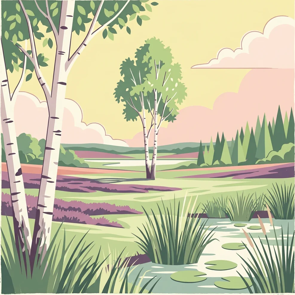
Illustration of a peat bog landscape with birch trees, a stream with lily pads, and tall grasses under a pale sky with soft clouds

A surviving raised bog sanctuary and bird-rich wetland on the Dutch-German border

De Groote Peel National Park

De Groote Peel National Park is a protected area spanning the border between the Dutch provinces of Limburg and North Brabant in the southeastern Netherlands. Established in 1993, the park encompasses approximately 13.4 square kilometers of what is one of the last remaining largely uncultivated raised bogs in Western Europe. The park preserves a distinctive landscape shaped by centuries of peat extraction, featuring a mosaic of inaccessible peat swamps, open lakes, heathland, and sand ridges. This wetland ecosystem has become renowned as one of the most bird-rich areas in Western Europe, supporting significant populations of breeding birds and serving as a critical stopover for migrating species during autumn. The park is managed by Staatsbosbeheer, the Dutch State Forestry Service, and holds Ramsar Wetland status since 1980, recognizing its international importance as a biodiversity hotspot.

Location
Netherlands
Park type
National park
Established
1993
Area
13.4 km²
De Groote Peel National Park Protected Area

Compare epicentres around the protected raised-bog landscape

Earthquake reports near De Groote Peel National Park

Earthquake records associated with De Groote Peel National Park are placed relative to the raised-bog reserve through their epicentre coordinates and calculated separation. Their timing, magnitude, depth, locality text, park distance, and source documentation support historical regional review without turning geographic proximity into a claim about peatland effects or present seismic danger.

Sort by
Magnitude
Location

This page describes catalogued earthquakes associated with the park by epicentre location and distance. It does not establish causation, assess current danger, or predict future earthquakes.

No earthquake records match the current filters

Park atlas

Continue beyond De Groote Peel National Park earthquake history in the atlas

Discover other protected parks after De Groote Peel National Park

De Groote Peel National Park anchors its earthquake collection before the atlas broadens from a Dutch raised-bog, wetland, and bird habitat into other protected destinations. Their inclusion does not indicate shared national-park status, peatland landscape, proximity, geology, seismic evidence, hazards, risk, nature-reserve context, or matching documentation.
Watercolor illustration of rolling hills, a winding river, and fields with distant mountains
National parkNorth Brabant
14 km away#1 closest

Northwest

Van Gogh National Park: National Park in North Brabant with Dune Landscapes

Explore mapped protected areas and regional geography.

Van Gogh National Park is a significant protected landscape in North Brabant, Netherlands, covering approximately 1,200 square kilometers. This national park is distinguished by its extensive drift sand dune systems, notable heathlands, and wooded valleys, offering a diverse terrain within the Dutch context. Named in tribute to Vincent van Gogh, it merges rich natural landscapes with cultural heritage, serving as a model for collaborative conservation and regional development, all mapped for detailed atlas exploration.

Area
1,200 km²
Established
2024
IUCN
II
Relief
Lowland
Watercolor painting of a soft, hazy forest landscape with a pond in the foreground.
Nature reserveNorth Rhine-Westphalia
About 22 km away#2 closest

East

Kaldenkirchener Grenzwald Nature Reserve in North Rhine-Westphalia

Regional border forest with heath moors and rare arboretum stands

Explore the geographic character of the Kaldenkirchener Grenzwald, a significant nature reserve located in the Nettetal region. This area showcases the interplay between native sandy pine forests and protected heath moor remnants, while incorporating the unique Sequoiafarm arboretum. Gain insights into the border landscape of the Lower Rhine and the historical ecological restoration that defines this protected area within Germany.

Established
1949
Relief
Lowland
Climate
Temperate
Access
Easy access
Watercolor painting of a landscape featuring a stream, trees, and rolling hills
National parkLimburg
22 km away#3 closest

Southeast

De Meinweg National Park: Unique Terraced Landscape and Protected Area in Limburg

National Park with exceptional reptile and amphibian biodiversity.

De Meinweg National Park is a remarkable protected landscape located in the Dutch province of Limburg, distinguished by its rare terraced topography unlike any other in the Netherlands. This national park, covering 1,800 hectares, is a key component of the transboundary Grenspark Maas-Swalm-Nette, bordering Germany. Its ecological significance is underscored by its status as a Natura 2000 site, with notable biodiversity, particularly among reptiles and amphibians, and regenerating raised bogs. MoriAtlas offers a map-centric view of this unique protected area, detailing its geographic context and landscape features for structured discovery.

Area
18 km²
Established
1995
IUCN
II
Relief
Upland
Watercolor illustration of a peaceful lakeside landscape with soft green trees, rolling hills, and a calm body of water.
Protected landscapeGermany
About 23 km away#4 closest

East

Naturpark Maas-Schwalm-Nette: Geography, Protected Landscapes, and Regional Map Context

A cross-border protected area spanning Germany and the Netherlands

Naturpark Maas-Schwalm-Nette encompasses a wide cross-border expanse defined by the interaction of three distinct river systems. This protected landscape contains notable natural formations including the Krickenbecker Seen peat lakes and the juniper heath of the Lower Rhine. With terrain ranging from quiet border forests to extensive wetlands, the park serves as a primary geographic link between regional conservation zones in Germany and the Netherlands.

Area
870 km²
Established
2002
Relief
Lowland
Climate
Temperate
A soft watercolor painting of a winding river surrounded by grassy plains and distant hills, rendered in pale greens and neutral tones.
Protected areaNorth Rhine-Westphalia
About 24 km away#5 closest

East

Schwalm-Nette-Platte mit Grenzwald und Meinweg Protected Area Map and Landscape Analysis

Regional bird sanctuary and habitat mosaic in North Rhine-Westphalia

Schwalm-Nette-Platte mit Grenzwald und Meinweg encompasses roughly 77 square kilometers of varied lowland terrain, featuring pine and oak forests, dry heaths, and wetlands. This geographic overview highlights the unique arrangement of habitats that sustain significant migratory and breeding bird species across the Lower Rhine plain, providing a clear perspective on its role as a cross-border ecological site.

Area
77.22 km²
Established
1983
Watercolor painting showing hills, a body of water, grasses, and a large rock in a landscape scene
National parkLimburg
26 km away#6 closest

South

Hoge Kempen National Park: National Park Protected Landscape and Limburg Geographic Context

Explore mapped boundaries within the Limburg region.

Gain a comprehensive understanding of Hoge Kempen National Park as a distinct protected national park. This resource provides critical insights into its geographic setting within the Limburg region, detailing its mapped boundaries and overall landscape context. It serves as an essential point for atlas exploration, allowing users to appreciate the park's role as a protected natural area and its place within the regional geography of Belgium.

Area
127 km²
Established
2006
IUCN
II
Visitors
1M annual
Watercolor painting of a lake, grassy shoreline, distant hills, and trees
National parkLimburg
27 km away#7 closest

Northeast

De Maasduinen National Park: Mapping the Longest River Dune System in the Netherlands

Protected Landscape and Dune Terrain in Limburg

Delve into the geographic identity of De Maasduinen National Park, a vital protected area in Limburg. This page offers detailed insights into its remarkable dune landscape, heathlands, and forests, emphasizing its role within the Dutch natural atlas and its connections to surrounding conservation areas.

Area
45 km²
Established
1996
IUCN
II
Relief
Lowland
Watercolor painting of a soft-focus landscape featuring gentle green hills, sparse trees, and a calm, watery foreground.
Nature reserveNorth Rhine-Westphalia
About 34 km away#8 closest

Southeast

Helpensteiner Bachtal, oberes Schaagbachtal und Petersholz Nature Reserve Atlas

Protected lowland stream valleys and sandy heathland mosaic

Located in the town of Wegberg, this nature reserve protects a variety of habitats including swamp forests and brook-side meanders. The reserve functions as a critical protected landscape, where dry sandy ridges meet moist lowland valleys, supporting rare flora and fauna near the border. This entity provides a structured look at the terrain, ecological character, and regional importance of one of Germany's key protected land areas.

Area
6.929 km²
Established
1985
Water
Major water bodies
MoriAtlas Explorer

Continue Your Atlas Exploration of De Groote Peel National Park's Landscape

Deepen your understanding of De Groote Peel National Park by examining its specific geographic context and protected landscape features. This detailed entry serves as a gateway to appreciating the unique wetland terrain, mapped bog features, and the ecological importance of this protected area within the broader atlas of European natural sites. Continue to navigate its natural terrain and understand its conservation value.