Mori Atlas logo
Nearby park discovery

Geographic context for coastal landscapes and protected lands surrounding the sound

Protected Areas and National Parks Near Desolation Sound Marine Provincial Park in British Columbia

Examine the distribution of protected areas and regional parks within the vicinity of Desolation Sound Marine Provincial Park. This analysis provides a mapped perspective of how nearby coastal wilderness, marine habitats, and glaciated landscapes relate geographically across the British Columbia coast.

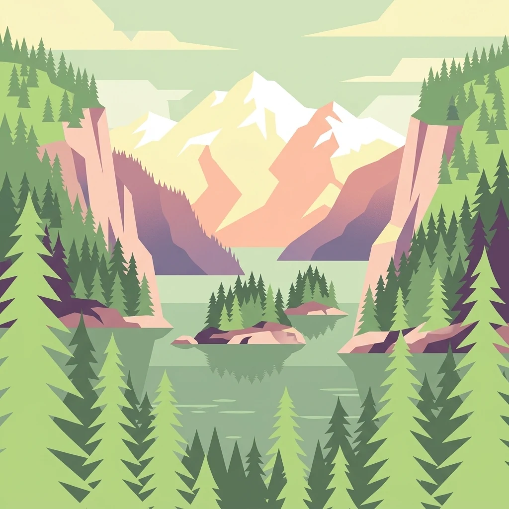
A graphic illustration showing a mountainous inlet surrounded by dense conifer forests and rocky cliffs with small islands in the center.

A sheltered coastal wilderness of glaciated peaks, forested shores, and quiet anchorages on British Columbia's Sunshine Coast.

Desolation Sound Marine Provincial Park

Desolation Sound Marine Provincial Park is a boat-access marine park in British Columbia, Canada, that protects the deeply indented coastline of Desolation Sound and surrounding inlets along the province's south-central coast. The park is known for its sheltered coves, scattered islets, and dramatic scenery shaped by glaciation, where rugged forested mountains and tumbling waterfalls descend steeply into the sea. Beyond its visual appeal, the park is ecologically significant as a refuge for marine and terrestrial wildlife, including important populations of marbled murrelets, salmon, porpoises, and a rich diversity of intertidal habitats such as eelgrass beds, kelp forests, and salt marshes. The waters are widely regarded as some of the warmest north of Baja, supporting a productive marine ecosystem. The protected area also carries a complex human history, intimately tied to the Sliammon and Klahoose First Nations, whose traditional territory includes the park. The way the landscape is named, valued, and managed reflects ongoing tensions between conservation, recreation, tourism, and Indigenous rights that continue to shape the park today.

Location
Canada
Park type
Marine protected area
Established
1973
Area
84 km²
Desolation Sound Marine Provincial Park Map and Atlas
Regional park map

See the ranked park cluster in its geographic setting

Nearby parks around Desolation Sound Marine Provincial Park

This regional map shows the same 20 nearby parks ranked below around Desolation Sound Marine Provincial Park. Select a ranked marker to highlight that park’s boundary where boundary data is available.
Reference park: Desolation Sound Marine Provincial ParkRanked nearby parkSelected boundary: Desolation Sound Marine Provincial Park20 nearby parks shown
20 nearby parks

Distance-ranked collection and regional park geography for comparative analysis

Parks and Protected Areas Geographically Near Desolation Sound Marine Provincial Park

Spatial proximity measurements establish a structured ranking of protected areas surrounding Desolation Sound Marine Provincial Park based on direct geographic separation. Examining these neighboring conservation landscapes reveals broader regional environmental patterns and terrain characteristics across the surrounding coastal zone.
State or regional parkBritish Columbia
About 15 km away#1 closest

Northwest

Háthayim Marine Provincial Park: Coastal Geography and Marine Protected Areas

Coastal landscapes of the Discovery Islands, British Columbia

Háthayim Marine Provincial Park safeguards the marine environment of northern Cortes Island, featuring a network of rocky headlands, sheltered inlets, and productive intertidal habitats. This protected landscape reflects the complex coastal geography of the Discovery Islands, highlighting the significant relationship between forest shorelines and the tidal currents of the Salish Sea region in British Columbia.

Area
12.77 km²
Established
1993
IUCN
II
Relief
Lowland
State or regional parkBritish Columbia
About 18 km away#2 closest

Southwest

Mitlenatch Island Nature Provincial Park: Protected Coastal Geography and Marine Sanctuary Atlas

Coastal landscapes and protected seabird habitats in British Columbia

Mitlenatch Island Nature Provincial Park represents a specialized coastal refuge defined by grass-topped rocky outcrops and sheltered intertidal zones. This protected area in the Strait of Georgia functions as an important sanctuary for nesting seabird colonies and seasonal marine mammal populations, demonstrating how compact island geography provides high-density habitat within the broader British Columbia ecosystem.

Area
1.55 km²
Established
1961
IUCN
Ia
Relief
Lowland
Protected areaStrathcona Regional District
48 km away#3 closest

Northwest

Pałəmin/Estero Basin Conservancy: Geography and Protected Area Map of Northern Vancouver Island

Coastal forest and estuarine basin protected landscape

Located at the head of the Frederick Arm, Pałəmin/Estero Basin Conservancy offers a unique study in vertical coastal geography. Spanning from the tidal margins of the Estero Basin to the slopes near Egerton Peak, this protected area features a diverse landscape of temperate forests and sheltered marine inlets essential to the North Coast ecosystem.

Area
29.78 km²
Established
2007
IUCN
II
Relief
Mountain
Protected areaStrathcona Regional District
63 km away#4 closest

Northwest

Phillips Estuary/ʔNacinuxʷ Conservancy: Geographic Mapping and Protected Area Context

Coastal river valley and estuarine conservation on Vancouver Island

Delve into the geography of the Phillips Estuary/ʔNacinuxʷ Conservancy, where riverine systems meet the marine coastline of the Strathcona Regional District. This protected area represents an essential transition zone, featuring forested uplands and tidal flats that form a continuous conservation landscape. Its mapping reveals the interconnected nature of the Phillips River valley, highlighting the ecological value of these protected lands for coastal researchers and geography enthusiasts.

Area
14.61 km²
Established
2007
IUCN
II
Watercolor painting of a tranquil body of water with gentle hills in the background and a cluster of trees on the right shore.
State or regional parkBritish Columbia
69 km away#5 closest

Southeast

Jedediah Island Marine Provincial Park: Coastal Terrain and Regional Protected Area Map

Mapping island boundaries and sheltered maritime ecosystems

Jedediah Island Marine Provincial Park offers a unique study in coastal geography, featuring a complex shoreline of pebble beaches and indented bays. Located within the Strait of Georgia, the park serves as a protected landmass that blends maritime forest ecosystems with open water corridors. Its boat-only access ensures the landscape remains a quiet, preserved example of Gulf Islands terrain.

Area
6.03 km²
Established
1995
IUCN
II
Relief
Lowland
State or regional parkBritish Columbia
About 77 km away#6 closest

South

Horne Lake Caves Provincial Park: Mapped Protected Landscapes and Cave Networks

Vancouver Island protected area and karst geography

Horne Lake Caves Provincial Park protects a distinct array of limestone cave systems, including Main, Riverbend, and Euclataws caves. The area bridges underground geological formations with surface-level river recreation along the Qualicum River, providing a comprehensive look at the karst and forested terrain of central-eastern Vancouver Island.

Area
1.58 km²
Established
1971
IUCN
II
Relief
Upland
A soft watercolor illustration depicting a winding river flowing through a lush green valley with coniferous forests on the hillsides and mountains in the background.
State or regional parkBritish Columbia
81 km away#7 closest

South

Little Qualicum Falls Provincial Park: Regional Protected Landscape and Atlas Geography

River canyon and mountain lake habitat in British Columbia

Explore the structured geography of Little Qualicum Falls Provincial Park, a protected area characterized by its sequence of dramatic river cascades and old-growth Douglas Fir stands. This entry maps the park's key natural features, including the Cameron Lake shoreline and the rugged canyon terrain of the Little Qualicum River.

Area
4.4 km²
Established
1940
IUCN
II
Relief
Mountain
Protected areaBritish Columbia
About 82 km away#8 closest

Northwest

Forward Harbour/Yexeweyem Conservancy Protected Area Geography and Coastal Atlas

Coastal wilderness protected landscape on Vancouver Island.

Forward Harbour/Yexeweyem Conservancy preserves a distinct segment of British Columbia coastline. Featuring the Thynne Peninsula and sheltered sections of Bassborough Bay, this remote protected area emphasizes the preservation of marine inlets and salmon habitats within a traditional Indigenous landscape.

Area
3.06 km²
Established
2007
Access
Remote access
Scope
Terrestrial
A horizontal watercolor illustration featuring a wooden boardwalk winding through a calm, light-filled landscape with soft green trees, grassy foreground, and rolling hills in the distance.
State or regional parkBritish Columbia
About 83 km away#9 closest

South

MacMillan Provincial Park: Mapped Geography and Protected Forest Landscapes

Vancouver Island, British Columbia

Examine the mapped footprint of MacMillan Provincial Park, home to iconic old-growth Douglas fir trees and the Cameron River delta. This protected area serves as a biogeoclimatic transition zone, showcasing the rich, moisture-retentive coastal forest environment that defines this specific section of Vancouver Island.

Area
3.01 km²
Established
1947
IUCN
III
Visitors
543.7K annual
A pale, minimalist watercolor painting depicting a wide, sandy beach shoreline with a line of evergreen trees in the distance.
State or regional parkBritish Columbia
85 km away#10 closest

South

Rathtrevor Beach Provincial Park: Coastal Geography and Protected Land Overview

Vancouver Island coastal terrain and forested landscapes

Spanning over 300 hectares, Rathtrevor Beach Provincial Park protects a rare combination of fine sandy beaches and ancient Douglas fir groves along the Strait of Georgia. This coastal sanctuary on Vancouver Island serves as a critical habitat for migrating birds and represents a preserved segment of regional geography amidst the surrounding developed shoreline.

Area
3.47 km²
Established
1967
IUCN
II
Visitors
836.2K annual
Watercolor painting of a waterfall surrounded by lush green trees and forest.
State or regional parkBritish Columbia
91 km away#11 closest

South

Englishman River Falls Provincial Park: Regional Geography and Protected Area Overview

Vancouver Island river canyon and coastal forest terrain

Englishman River Falls Provincial Park protects a concentrated area of canyon scenery and old-growth forest on the eastern side of Vancouver Island. The landscape is characterized by the dramatic steps of the Englishman River, deep plunge pools, and mature cedar and hemlock stands. This geography provides an essential look at the coastal rainforest ecosystems and river-fed topography that define the recreational corridors of British Columbia.

Area
0.97 km²
IUCN
II
Relief
Upland
Access
Easy access
A horizontal watercolor painting depicting a light, airy landscape with distant snow-capped mountains, rolling green hills, and coniferous forest edges.
State or regional parkBritish Columbia
107 km away#12 closest

East

Garibaldi Provincial Park: An Atlas of Volcanic and Glacial Terrain in British Columbia

Protected wilderness in the Garibaldi Volcanic Belt

Garibaldi Provincial Park preserves a massive expanse of mountainous wilderness, defined by iconic landmarks such as The Black Tusk and Garibaldi Lake. The park represents a crucial study in vertical zonation, transitioning from temperate coastal forests to vast alpine meadows, glaciers, and jagged volcanic summits. Analyze the geological history and mapped protected boundaries that shape this significant British Columbia conservation area.

Area
1,950 km²
Established
1920
IUCN
II
Visitors
136K annual
State or regional parkBritish Columbia
About 114 km away#13 closest

Southeast

Plumper Cove Marine Provincial Park: Protected Marine Geography and Coastal Landscapes in Howe Sound

Exploring the forested trails and sheltered marine anchorages of Keats Island.

Plumper Cove Marine Provincial Park represents a vital protected landscape on the coast of British Columbia, defined by its blend of upland coastal forest and intimate, boat-accessed marine anchorages. This geography-focused profile traces the park's terrain, including its rocky shorelines, forest-covered bluffs, and the trail networks that connect visitors to the broader Howe Sound maritime environment.

Area
0.66 km²
Established
1960
IUCN
II
Relief
Upland
Protected areaBritish Columbia
115 km away#14 closest

Southwest

Kiišḥniqʷus Conservancy: Coastal Wilderness and River Valley Geography in British Columbia

Protected coastal inlet and temperate rainforest terrain

Kiišḥniqʷus Conservancy protects a significant expanse of land between Sydney Inlet and Shelter Inlet on the outer coast of Vancouver Island. This area focuses on the Sydney River valley and the associated estuarine environments, forming a vital part of the regional wilderness corridor. The geography showcases the intersection of deep coastal fjords, dense coniferous forest, and historic cultural sites, providing an essential look at the natural and indigenous history of the region.

Area
110.12 km²
Established
2024
Scope
Terrestrial
Water
Major water bodies
A minimalist watercolor illustration showing rolling hills in the background and soft foliage in the foreground on a white background.
State or regional parkBritish Columbia
About 115 km away#15 closest

Southeast

Petroglyph Provincial Park: Protected Indigenous Heritage and Coastal Geography

Cultural landscape and bedrock carvings in British Columbia

Petroglyph Provincial Park preserves a remarkable concentration of ancient carvings etched into the sandstone bedrock of the Nanaimo River estuary. This protected area on Vancouver Island provides a rare look at how Indigenous traditions integrated with powerful natural features, offering a unique geographic context for studying historical rock art in the Pacific Northwest.

Area
0.02 km²
Established
1948
IUCN
III
Relief
Lowland
A horizontal watercolor illustration depicting soft green rolling hills and distant purple mountains above a flat shoreline with patches of marsh grasses.
State or regional parkBritish Columbia
116 km away#16 closest

Southeast

Porteau Cove Provincial Park: Mapping Coastal Protected Landscapes in British Columbia

Geography of Howe Sound shorelines and marine habitats

Porteau Cove Provincial Park offers a unique geographic vantage point at the meeting of granite-sloped mountains and the Pacific waters of Howe Sound. This park detail covers the coastal landscape, including protected intertidal zones, artificial reef structures, and the surrounding terrain that characterizes this segment of the British Columbia coastline.

Area
0.5 km²
Established
1981
IUCN
II
Visitors
611.8K annual
Protected areaBritish Columbia
119 km away#17 closest

Southwest

Č̓icy̓i Conservancy: Protected Coastal Rainforest and Flores Island Geography

Coastal wilderness in the Alberni-Clayoquot region

Spanning over nine thousand hectares on Flores Island, Č̓icy̓i Conservancy preserves a substantial wilderness area characterized by dense coastal temperate rainforests, rocky headlands, and expansive intertidal zones. As a significant addition to the protected network of outer Vancouver Island, the area integrates diverse Pacific marine and forest ecosystems. The geography highlights the cultural and ecological continuity of the coastline.

Area
92.69 km²
Established
2024
Access
Access unknown
Scope
Terrestrial
A watercolor painting showing a horizontal landscape with a green forest in the foreground and soft pink, layered rolling hills in the background.
State or regional parkBritish Columbia
122 km away#18 closest

Southeast

Morden Colliery Historic Provincial Park: Heritage Infrastructure and Regional Coal Mining History

Industrial landscape and historic rail corridor in British Columbia

Located near Nanaimo, this heritage site preserves the substantial concrete remains of the Morden Colliery. The park serves as a physical archive of southern Vancouver Island industrial life, contrasting engineering landmarks with local forest environments and interpretive trails along former coal railway alignments.

Area
0.04 km²
Established
1972
Relief
Lowland
Scope
Terrestrial
National parkBritish Columbia
123 km away#19 closest

South

Pacific Rim National Park Reserve: National Park Protected Landscape & Map Atlas

Mapped boundaries and regional geographic context in British Columbia.

Pacific Rim National Park Reserve stands as a distinct protected natural landscape, serving as a critical component of Canada's national park inventory. This page facilitates an atlas-style exploration of its mapped boundaries and its position within the broader geography of British Columbia. Understanding the park's protected status and its integration with the surrounding natural terrain offers valuable insight into conservation landscapes.

Area
511 km²
Established
1970
IUCN
VI
Visitors
1.2M annual
Protected areaBritish Columbia
126 km away#20 closest

Southwest

Kʷuḥaa Conservancy: A Coastal Protected Area on Western Vancouver Island

Temperate rainforest, marine inlets, and cultural geography.

Kʷuḥaa Conservancy covers a rugged, forested stretch of the British Columbia coastline, focusing on the preservation of the Stewardson Inlet head. The area integrates coastal slopes with sheltered marine environments, providing a crucial addition to the regional network of protected lands. Explore the site's unique topographical features and its cultural significance within the Nuu-chah-nulth territory near Tofino.

Area
19.16 km²
Established
2024
Relief
Lowland
Climate
Temperate
Distance methodology

Geographic measurements, not driving distances

How nearby park distances are calculated

Distances use park boundaries whenever the available geometry allows it. When one or both boundaries are missing, the mapped park locations provide a clearly labelled estimate. Every value represents straight-line geographic separation and does not use roads or routing.

Boundary distance

Calculated between the nearest points of both park boundaries.

Location-to-boundary estimate

Estimated from one mapped park location to the nearest boundary of the other park.

Mapped-location estimate

Estimated between the mapped locations of both parks.

MoriAtlas Explorer

View the Map and Geographic Landscape of Desolation Sound Marine Provincial Park

Continue exploring the intricate coastline and protected boundaries of Desolation Sound Marine Provincial Park through the MoriAtlas interface. Access deep insights into the region's glaciated geography, marine habitats, and protected terrain to better understand how this area fits into the broader coastal landscape of British Columbia.