The only wilderness area that spans three states, anchored by a historic tripoint rock on the Chattooga River.
Ellicott Rock Wilderness
Ellicott Rock Wilderness is a small but historically and geographically distinctive protected area in the southern Appalachian Mountains of the southeastern United States. It lies at and around the only point where Georgia, North Carolina, and South Carolina meet, anchored by the famous Ellicott Rock, where surveyor Andrew Ellicott chiseled the 35th parallel into stone in 1811. Designated by Congress in 1975 under the Eastern Wilderness Act, the wilderness covers roughly 8,274 acres of steep, forested Blue Ridge terrain split across three national forests and managed by the U.S. Forest Service.
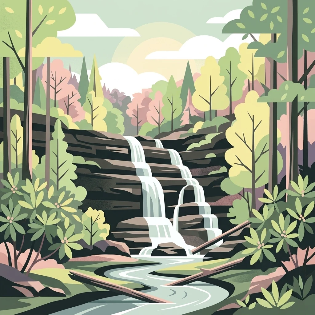
The wilderness is defined as much by water as by mountains. The Chattooga Wild and Scenic River runs through its heart, dropping through a rugged gorge lined by hardwoods, white pine, and hemlock, and creating waterfalls such as Spoonauger Falls. The surrounding watershed is one of the most biologically diverse in the country, supporting migratory songbirds, black bears, white-tailed deer, wild turkey, native trout, and a rich understory of reptiles including box turtles and timber rattlesnakes. Recreation centers on hiking, backpacking, fishing, and paddling along the river, with around 18 miles of designated trails providing the only access into the interior.
The area's identity is also shaped by history. Ellicott Rock, and the closely associated Commissioner's Rock nearby, are National Register landmarks that tie the wilderness back to early surveys and the political boundary disputes between Georgia and North Carolina in the early nineteenth century.