
Streams
Park geography
Analyzing the regional distribution, elevation metrics, and environmental terrain features
Gunung Leuser National Park: geography
Location: Indonesia. Recorded area: 3,208 km².
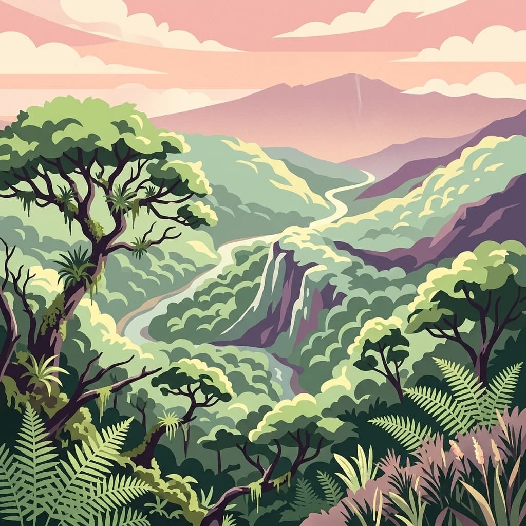
Sumatra's premier orangutan habitat and a crown jewel of Southeast Asian rainforests
Gunung Leuser National Park
Gunung Leuser National Park is a vast protected area spanning 3,208 square kilometers along the Barisan mountain range in northern Sumatra, Indonesia, straddling the provinces of Aceh and North Sumatra. Established in 1980, the park is named after Mount Leuser, a towering peak rising to 3,119 meters, and forms a critical component of the Tropical Rainforest Heritage of Sumatra, a UNESCO World Heritage Site designated in 2004. The park encompasses a remarkable diversity of ecosystems, from lowland rainforests and peat swamp forests to montane and subalpine zones, supporting one of the highest levels of biodiversity in Southeast Asia. Its significance is amplified by being one of only two remaining habitats for the critically endangered Sumatran orangutan, making it a global priority for primate conservation.
- Location
- Indonesia
- Park type
- National park
- Established
- 1980
- Area
- 3,208 km²
- Highest point
- 3,466 m
Location overview
Administrative boundaries in the regions of Aceh and North Sumatra
Geographic Setting of Gunung Leuser National Park in Indonesia
Gunung Leuser National Park is located within Indonesia and American Samoa, covering Aceh and North Sumatra. Geographic records display administrative boundaries and regional memberships for the inland protected area.
- Countries
- Indonesia
- Regions
- Aceh, North Sumatra
- Primary location
- Indonesia
- Geographic setting
- Inland
Boundary and coordinates
Spatial extent and regional coordinates covering over 3208 square kilometers
Geographic Boundaries and Mapped Limits of Gunung Leuser National Park
Mapped boundaries offer essential spatial context to clarify the layout of the protected terrain. Structured geographic profiles define the calculated total area, center points, and regional spans.
- Boundary area
- 8,703.1 km²
- Boundary perimeter
- 1,465.8 km
- Northernmost point
- 4.0482° N
- Southernmost point
- 2.9381° N
- Easternmost point
- 98.6933° E
- Westernmost point
- 96.9219° E
- Geographic centre
- 3.5619° N, 97.6768° E
- North–south span
- 122.8 km
- East–west span
- 196.8 km
Elevation and terrain
A 3,466-metre maximum with twenty features recorded within
Gunung Leuser National Park mountain terrain and elevation
Gunung Leuser National Park has mountain relief with maximum and highest-point elevations of 3,466 metres. Twenty within-park cards include numerous peaks alongside a waterfall, spring, streams, and the Batang Sarangan and Batang Serangan rivers.
- Maximum elevation
- 3,466 m
- Highest point
- 3,466 m
Selected named natural features
Peaks
Burni Kelalang
Streams
Mardikan
Streams
Lau Kawar
Peaks
Dolok Tenaroh
Peaks
Uruk Bakal
Environmental setting
Analysis of tropical climate zones, mountain relief, and dominant forest cover
Gunung Leuser National Park Environmental and Landscape Classifications
Recorded habitat types and landscape features serve as interpretive categories for examining physical terrain properties across the protected area. Structured atlas records link each environmental classification directly to related regional geography destinations.
- Relief
- Mountain
- Climate
- Tropical
- Water
- Major water bodies
- Forest cover
- Dense forest cover
- Seasonality
- Seasonal
Landscape features
Mountains · Forest · Wetland · Rivers
Habitat types
Tropical forest · Wetland · Peatland · Montane forest · Riverine habitat
Park atlas
Compare nearby national parks and protected areas, tracing the regional geography surrounding Gunung Leuser National Park in Sumatra.
Explore Other National Parks and Protected Areas Near Gunung Leuser National Park
After exploring Gunung Leuser National Park, browse other national parks and protected areas across northern Sumatra, including those within the expansive Barisan mountain range. Compare these diverse rainforest ecosystems and conservation landscapes to understand broader regional protected area geography and shared natural heritage.
National parkNorth Sumatra Province
238 km away#1 closest
Southeast

Batang Gadis National Park: North Sumatra Province Protected Landscape Atlas
Explore its national park status and mapped boundaries.
Batang Gadis National Park serves as a vital protected area within North Sumatra Province, contributing significantly to the regional geography and natural landscape atlas. This detail page focuses on its designation as a national park, highlighting its mapped geographic footprint and its place within the broader regional context. Users can explore its protected boundaries and understand its unique landscape characteristics for structured geographic discovery.
- Area
- 1,080 km²
- Established
- 2004
- IUCN
- II
- Relief
- Mountain
Nature reserveSelangor
About 277 km away#2 closest
East

Kuala Selangor Nature Park: Mapping the Coastal Wetland and Forest Mosaic of Selangor
A Managed Nature Reserve at the Selangor River Estuary
Kuala Selangor Nature Park represents a key protected landscape in Malaysia, where secondary forest meets an intricate system of estuarine wetlands. This atlas provides a detailed look at the park, focusing on the interplay between its freshwater ponds, mangrove fringes, and the coastal bunds that govern the habitat. It serves as an essential site for understanding coastal restoration and wetland ecology in the region of Selangor.
- Area
- 2.4 km²
- Established
- 1987
- Relief
- Lowland
- Climate
- Tropical
National parkMalaysia
About 279 km away#3 closest
Northeast
Penang National Park: Exploring Malaysia's National Park Atlas and Protected Landscapes
Understand the mapped geography and protected terrain of Penang National Park.
Penang National Park represents a crucial element within Malaysia's network of protected areas. This page offers detailed information for atlas-driven exploration, focusing on the park's specific geography, its mapped boundaries, and its contribution to the regional landscape. Gain a structured understanding of Penang National Park's identity as a protected national park, providing essential context for geographic discovery.
- Area
- 12.13 km²
- Established
- 2003
- IUCN
- II
- Relief
- Mixed relief
Marine protected areaKedah
About 313 km away#4 closest
Northeast
Payar Island Marine Park: A Comprehensive Geographic Atlas of Marine Protected Areas
Mapping reef systems and island geography in the northern Strait of Malacca.
Payar Island Marine Park serves as a significant marine protected area centered on the islands of Payar, Kaca, Lembu, and Segantang. This profile details the park's coastal geography, its signature soft coral habitats like the Coral Garden, and its role as a regional sanctuary for marine biodiversity within the Kedah territorial waters.
- Area
- 0.29 km²
- Established
- 1994
- Relief
- Upland
- Climate
- Tropical
Nature reserveSelangor
About 323 km away#5 closest
East
Kuala Langat North Forest Reserve: Mapped Boundaries and Ecological Terrain Overview
Ancient lowland peat swamp geography in Selangor, Malaysia
Kuala Langat North Forest Reserve is an ecologically vital peat swamp remnant that shelters a range of endemic species within its 8,000 year old forest canopy. Located in the lowland terrain of Selangor, the reserve exists as a critical forest island surrounded by a matrix of development. This overview provides mapped context for the reserve's internal landscape and its role as a protected area within the shifting geography of the Klang Valley.
- Area
- 9.576 km²
- Established
- 1927
- Relief
- Lowland
- Climate
- Tropical

Nature reserveSelangor
About 328 km away#6 closest
East
Templer Park: Protected Hill Forest Reserve and Landscape Geography in Selangor, Malaysia
Mature forest canopy and tropical stream terrain
Templer Park preserves a critical patch of mature lowland and hill forest within Selangor. Featuring multi-tiered waterfalls, shaded riverbanks, and limestone caves, the reserve supports high biological interest including rare endemic species. Its mapped boundaries reflect an essential green refuge amidst regional development, offering a window into the natural forest geography north of Kuala Lumpur.
- Area
- 12.14 km²
- Established
- 1954
- Relief
- Upland
- Climate
- Tropical

National parkSatun Province
About 332 km away#7 closest
Northeast

Tarutao National Park: National Park Exploration and Geographic Context in Satun Province
Mapped boundaries and regional landscape details await discovery.
Tarutao National Park stands as a protected national park entity, offering a specific focal point for exploring Thailand's natural landscapes within Satun Province. This page provides access to its protected-area identity and geographic mapping, essential for understanding its placement within the broader regional atlas. Investigate the park's distinct landscape features and its contribution to the protected areas of the Andaman Sea coast.
- Area
- 1,490 km²
- Established
- 1974
- IUCN
- II
- Visitors
- 238.4K annual
State or regional parkSelangor
About 335 km away#8 closest
East
Selangor State Park: Protected Rainforest and Geological Landscape Discovery
Highland water catchment and quartz ridge geography in Selangor
Selangor State Park forms a massive block of continuous tropical rainforest serving as the principal water supply for the Klang Valley. This protected area features rugged slopes, diverse river basins, and the dramatic 14-kilometer Klang Gates Quartz Ridge. Use this map-integrated record to understand the park's critical role in regional hydrological regulation and its significance as a research-anchored highland ecosystem.
- Area
- 914.41 km²
- Established
- 2007
- Relief
- Highland
- Climate
- Tropical
MoriAtlas Explorer
Gunung Leuser National Park
Explore the map, landscapes, and protection details for Gunung Leuser National Park.
Browse next
Global natural geography
Explore related park routes
Explore MoriAtlas Global ParksBrowse All MoriAtlas ParksGlobal Park Map DiscoveryMoriAtlas: Browse All CountriesBrowse All MoriAtlas ContinentsNational Park Environment AtlasGrand Canyon National Park AtlasYellowstone National Park AtlasYosemite National Park Atlas and GeographySerengeti National Park AtlasGalápagos National Park Protected LandscapeBanff National Park Geography and AtlasKruger National Park Atlas EntryExplore Uluru-Kata Tjuta National Park GeographyPlitvice Lakes National Park AtlasFiordland National Park Protected LandscapeGreat Smoky Mountains National Park AtlasZion National Park Protected Landscape AtlasAfghanistan National Parks and Protected AreasAlbania National Parks and Protected AreasAlgeria National Parks and Protected AreasAmerican Samoa National Parks and Protected AreasAndorra National Parks and Protected AreasAngola National Parks and Protected AreasAntarctica National Parks and Protected AreasAntigua and Barbuda Park List