
Why Jaua-Sarisariñama National Park stands out
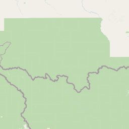
Jaua-Sarisariñama is most famous for the gigantic sinkholes on the summit of Sarisariñama tepuy, nearly perfectly circular depressions roughly 350 meters wide and 350 meters deep. These were among the very first sinkholes identified in Precambrian quartzite anywhere in the world and have become a reference point in the study of tepuy geomorphology. The park is equally distinguished by the extreme biological isolation those sinkholes create. Because their walls are sheer and impassable, the floors host endemic plant and animal communities that evolution has separated from neighboring tepuy summits for an immense span of time. The protected area also encompasses the upper catchments of three major Venezuelan rivers, the Caura, Erebato, and Ventuari, giving it outsize hydrological importance in the Orinoco basin.
Jaua-Sarisariñama National Park history and protected-area timeline
Jaua-Sarisariñama was formally declared a national park on December 12, 1978, in recognition of both its scenic tepuy landscapes and its unique geological features. The park's creation was driven in part by the scientific exploration of the Sarisariñama sinkholes, which were first documented in 1974 and are among the earliest reported examples of large dissection depressions in Precambrian quartzite.
Large cylindrical sinkholes of this scale had not previously been described in such ancient rocks, and their discovery drew international attention to the tepuy region of southern Venezuela. Following the exploration of these formations, authorities moved to ensure their protection through national park status, placing the area under the management of INPARQUES.
Since its establishment, the park's remoteness has effectively limited access, and visitation remains restricted primarily to authorized scientific research, preserving much of its character as an undisturbed wilderness.
Jaua-Sarisariñama National Park landscape and geographic character
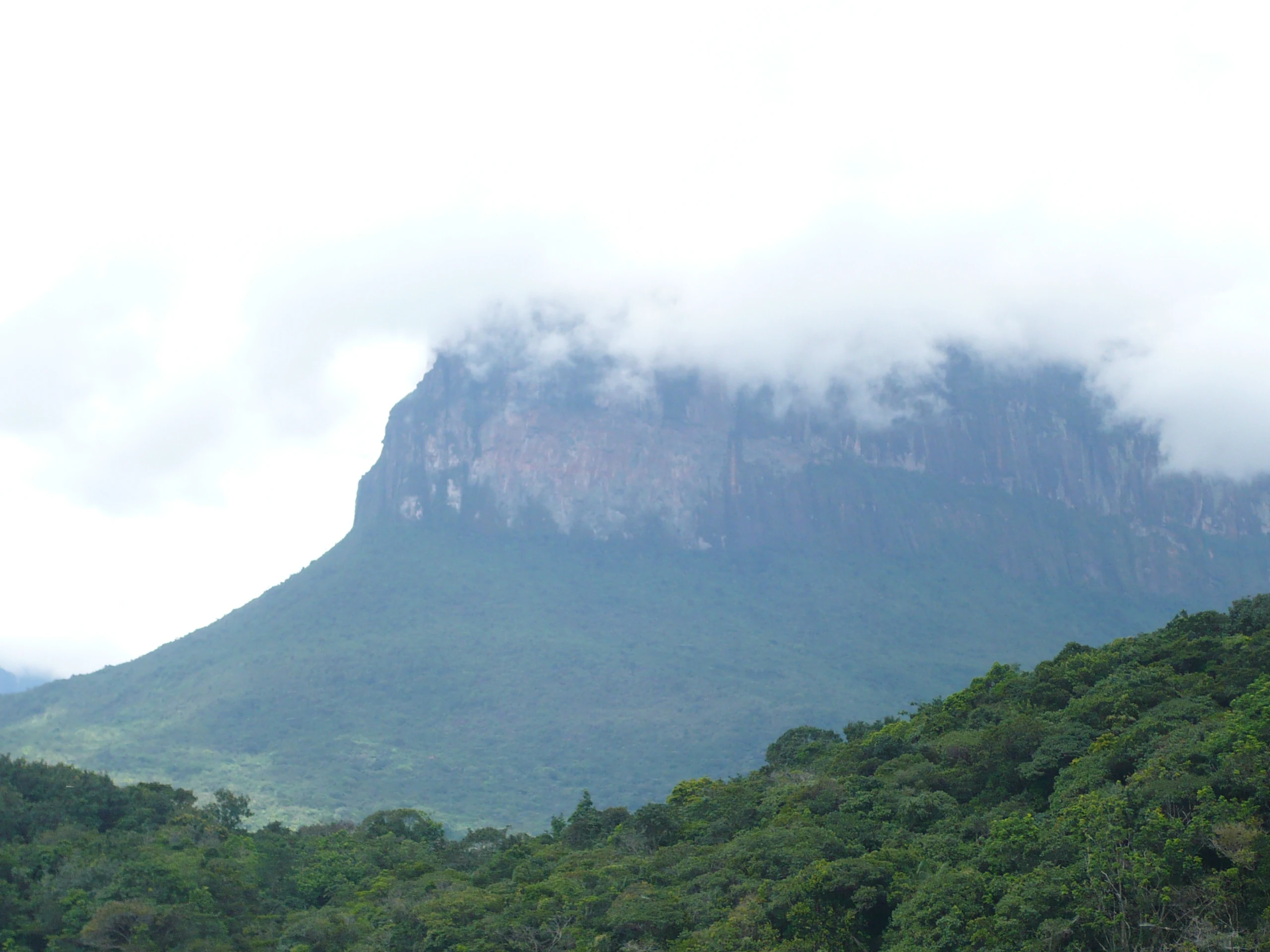
The defining landforms of Jaua-Sarisariñama are its three tepuis: Jaua, Sarisariñama, and Guanacoco. These massive sandstone mesas rise abruptly from the surrounding forested lowlands, with walls that in places drop several hundred meters almost vertically. Sarisariñama reaches roughly 2,300 meters in elevation, making it one of the higher tepuis in the Venezuelan Guiana Shield.
The plateaus display classic tepuy terrain, including bare sandstone pavements, shallow soils, and extensive peat-rich depressions that hold water on the otherwise flat summits. Slopes are steep and rocky, broken by cliff bands, boulder fields, and narrow ledges where vegetation clings tenuously.
Perhaps the most dramatic feature in any Venezuelan tepuy park is the system of giant sinkholes on the Sarisariñama summit. These near-perfectly circular pits, around 350 meters across and equally deep, mark places where the sandstone plateau has collapsed or dissolved into voids below. The vertical walls of these depressions isolate their interiors from the surrounding plateau, creating distinct ecological islands.
Jaua-Sarisariñama National Park ecosystems, habitats, and plant life
The park spans a remarkable ecological gradient, from lowland tropical forests to high-elevation tepuy plateaus. Lowland areas include tall evergreen forest along the headwaters of the Caura, Erebato, and Ventuari rivers, as well as open savanna and gallery forest along streams draining the tepuy bases.
On the plateaus, vegetation shifts to shorter, hardier communities adapted to thin soils, persistent moisture, and exposure. Characteristic groups include ferns, orchids, ericaceous shrubs, Asteraceae composites, sedges, and bromeliads, which dominate the wetter parts of the summits. The combination of mist, cool temperatures, and shallow substrate produces vegetation visually and ecologically distinct from the forests below.
Rivers draining the park are a defining hydrological feature. The Caura, Erebato, and Ventuari originate within or near the park, and their largely forested catchments give them clear, sometimes dark waters that support distinct aquatic communities sensitive to changes upstream.
Jaua-Sarisariñama National Park wildlife and species highlights
Jaua-Sarisariñama's wildlife profile is shaped by its isolation and its twin identities as both a tepuy reserve and a lowland-forest watershed. Lowland forests harbor neotropical mammals typical of southern Venezuela, including the jaguar, which still ranges through the more inaccessible parts of the park, along with smaller carnivores, deer, and primates adapted to dense forest.
The tepuy plateaus host a distinctive set of highland species, including endemic tepuy rodents such as Marmosa tyleriana and other small mammals isolated on the summits. Birdlife on the plateaus includes species endemic to the Roraima formation highlands, while the surrounding forests support more broadly distributed neotropical birds.
The park's deepest significance for wildlife lies in the endemic communities found inside the Sarisariñama sinkholes. Because the walls of these depressions are nearly vertical, organisms trapped at the bottom have evolved in isolation, producing unique plant and animal lineages that exist nowhere else on Earth.
Jaua-Sarisariñama National Park conservation status and protection priorities
Designated as a national park in 1978, Jaua-Sarisariñama has long been recognized for its outstanding conservation value. The park lies within the Hotspot of the Guiana Shield tepuis, a region noted for its extreme endemism and high proportion of species restricted to single tepuis or small groups of plateaus.
The park's restricted access regime, limiting entry to authorized researchers, has been a major factor in preserving its ecological integrity. The lack of road access and the park's distance from major settlements have also limited deforestation and other lowland pressures, although the surrounding region remains subject to broader land-use pressures in southern Venezuela.
The Sarisariñama sinkholes in particular are valued as natural laboratories for studying evolutionary isolation, and the broader park is considered a key element in regional efforts to conserve tepuy ecosystems and the upper watersheds of the Caura, Erebato, and Ventuari rivers.
Jaua-Sarisariñama National Park cultural meaning and human context
The park's tepuis carry names in the Makiritare (Ye'kwana) language, including Jaua-Jidi, Sarisariñama-Jidi, and Guanacoco-Jidi, reflecting an indigenous cultural presence in the region that long predates the park's formal establishment. These communities have traditional knowledge of the surrounding forests, rivers, and the approaches to the tepuy bases.
Indigenous territories overlap parts of the broader landscape in southern Bolívar and Amazonas, and the park's strict access regulations have, in practice, contributed to preserving areas of traditional land use while restricting wider development.
The Tepuy region as a whole has also become a symbol in Venezuelan conservation culture, with the Sarisariñama sinkholes appearing in scientific literature, documentaries, and narratives about the wild, largely untouched southern reaches of the country.
Top sights and standout views in Jaua-Sarisariñama National Park
The standout feature of Jaua-Sarisariñama is the Sarisariñama sinkhole system, where enormous circular pits plunge hundreds of meters into the ancient sandstone of the Roraima formation. These dramatic depressions are matched by their ecological significance, harboring endemic life isolated on their floors.
Equally noteworthy is the park's trio of tepuis themselves, whose sheer cliffs and mist-shrouded plateaus embody the classic Guiana Shield scenery. The presence of three major tepuis within a single protected area, together with the upper Caura, Erebato, and Ventuari river basins, makes the park unusually comprehensive in protecting tepuy ecosystems.
Finally, the park's strict access regime and sheer remoteness have kept it one of the least-visited tepuy reserves, and therefore one of the closest in character to a true undisturbed wilderness.
Best time to visit Jaua-Sarisariñama National Park
The park's climate is dominated by consistently high rainfall, between roughly 2,800 and 3,600 millimeters per year, with only modest seasonal variation and temperatures ranging from around 12°C on the highest plateaus to about 24°C at lower elevations. Practical access is limited by these conditions and by the park's remoteness rather than by conventional tourist seasons.
Periods of relatively lower rainfall tend to make tepuy exploration and helicopter operations more feasible, though the cloud forests and sinkhole rims remain damp year-round. Visitors should expect persistent mist on the plateaus and the possibility of heavy rain at any time, conditions that contribute to the park's lush, saturated atmosphere but also make fieldwork demanding.
Because the park is reserved primarily for scientific research and requires INPARQUES authorization, planning a visit is more a matter of securing formal permissions and logistical support than choosing a conventional vacation season.