

Streams
Park geography
Analyzing mapped boundaries, mountain terrain, and regional environmental characteristics
Comprehensive Geographic and Terrain Profile of Kalkalpen National Park in Upper Austria
Discover the physical composition of Kalkalpen National Park, a protected region spanning 208.25 square kilometers in Upper Austria. This profile covers the park boundary geometry, mountain relief, and diverse natural features including notable peaks like Hoher Nock and Kleiner Größtenberg.
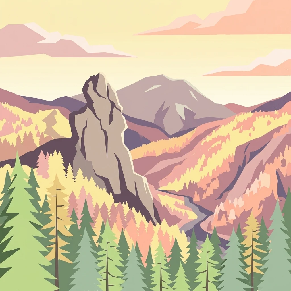
Austria's largest forested national park protecting ancient beech forests and karst landscapes in the Northern Limestone Alps
Kalkalpen National Park
Kalkalpen National Park is Austria's premier protected area for forest ecosystems, encompassing the largest contiguous forested region in Central Europe along with the country's most extensive karst landscape. Located in the Northern Limestone Alps within the state of Upper Austria, the park was established in 1997 and covers approximately 20,825 hectares of mountainous terrain. The park protects the Sengsengebirge and portions of the Reichraminger Hintergebirge, two distinct mountain ranges characterized by steep valleys, dramatic cliffs, and pristine water systems. What makes Kalkalpen especially significant is its inclusion in the UNESCO World Heritage Site listing for Ancient and Primeval Beech Forests of the Carpathians and Other Regions of Europe, recognizing its ancient beech forests as outstanding examples of ecological history dating back to the Last Glacial Period. The park's designation as a Ramsar Wetland in 2004 further underscores its international conservation importance.
- Location
- Austria
- Park type
- National park
- Established
- 1997
- Area
- 208.3 km²
Location overview
Mapping regional administrative boundaries and national conservation zones
Geographic Location of Kalkalpen National Park in Upper Austria
Kalkalpen National Park is situated within Upper Austria under the national jurisdiction of Austria. Official records classify the terrestrial reserve as an inland protected area with no marine or transboundary borders.
- Countries
- Austria
- Regions
- Upper Austria
- Primary location
- Upper Austria
- Geographic setting
- Inland
Boundary and coordinates
Mapping the spatial extent and 208 square kilometer area of the park
Kalkalpen National Park Boundary Map and Geographic Limits
Interactive boundary geometry traces the mapped spatial outline of Kalkalpen National Park to clarify its regional layout. Structured dataset panels detail key physical dimensions including surface area, center coordinates, and geographic spans.
- Boundary area
- 208.4 km²
- Boundary perimeter
- 154.6 km
- Northernmost point
- 47.8565° N
- Southernmost point
- 47.6747° N
- Easternmost point
- 14.5544° E
- Westernmost point
- 14.1677° E
- Geographic centre
- 47.772° N, 14.393° E
- North–south span
- 20.2 km
- East–west span
- 29 km
Terrain and natural features
Explore recorded peaks, streams, and waterfalls located within the protected landscape
Kalkalpen National Park Mountain Terrain and Named Natural Features
Mountain terrain classifications define the protected landscape alongside multiple recorded streams, peaks, and waterfalls situated within boundaries. Linked feature cards provide specific names, types, and spatial relationships for each mapped natural feature.
Selected named natural features
Streams
Teufelsgraben
Waterfalls
Schleierfall
Streams
Haselbach
Peaks
Kleiner Größtenberg
1,720 m
Rivers
Laussabach
Environmental setting
Temperate broadleaf forest, karst relief, and dominant forest cover classifications.
Kalkalpen National Park Environmental Settings and Mountain Classifications
Recorded mountain terrain, karst formations, and temperate forest types combine as broad interpretive categories for the physical setting. Linked atlas destinations connect each recorded environmental classification directly to related protected areas.
- Relief
- Mountain
- Climate
- Temperate
- Water
- Minor water
- Forest cover
- Dense forest cover
- Seasonality
- Year-round
Landscape features
Mountains · Forest · Karst
Habitat types
Temperate broadleaf forest
Park atlas
Explore additional protected areas and regional landscapes across Upper Austria and beyond after tracing Kalkalpen's unique karst features.
Discover Other National Parks Near Kalkalpen National Park, Upper Austria
Expand your exploration beyond Kalkalpen National Park to compare its ancient beech forests and extensive karst landscapes with other protected areas across the Northern Limestone Alps. Trace the regional spread of national parks and reserves, gaining a broader understanding of Central European mountain ecosystems and conservation efforts.
National parkAustria
Mapped location lies within the park boundary#1 closest

Limestone Alps National Park: A National Park in Austria's Mapped Protected Landscapes
Explore protected area boundaries and regional geography.
Limestone Alps National Park represents a vital component of Austria's protected lands, contributing to the nation's atlas of natural landscapes. This page details the park's identity as a national park, focusing on its geographic scope and mapped boundaries. Users can delve into the regional context and understand the protected-area significance of Limestone Alps National Park, enriching their exploration of Austria's diverse geography.
National parkStyria
8.7 km away#2 closest
Southeast
Gesäuse National Park: Detailed Protected Landscape and Alpine Geography in Styria
Explore Austria's dramatic river gorge and rugged peaks.
Gesäuse National Park in Styria represents a significant alpine protected area, characterized by the striking Enns river gorge cutting through the Gesäuseberge. This national park offers a unique geographic context, showcasing steep limestone peaks, dramatic rock faces, and a rich hydrological network. Discover the mapped boundaries and protected landscape of one of Austria's most visually striking natural passages, ideal for detailed atlas exploration and understanding alpine conservation.
- Area
- 110 km²
- Established
- 2002
- IUCN
- II
- Relief
- Mountain
Nature reserveSalzkammergut
About 33 km away#3 closest
West
Loser Plateau Nature Reserve: Alpine Karst Geography in the Salzkammergut Mountain Range
Protected high alpine plateau and extensive karst systems
The Loser Plateau is a distinctive high-altitude nature reserve in the Salzkammergut region of Austria. This protected area features expansive limestone pavements, complex karst sinkholes, and massive mountain crags that dominate the skyline above Lake Altaussee. It provides a unique window into high alpine geology, showcasing fossil-rich layers and an intricate network of documented cave systems that rank among the most significant in the Eastern Alps.
- Area
- 12 km²
- Relief
- Mountain
- Climate
- Alpine
- Access
- Easy access
Protected areaStyria
65 km away#4 closest
South
Zirbitzkogel Protected Area: Mapping the Alpine Landscapes and Glacial Terrain of the Seetal Alps
High mountain geography and protected terrain in Styria, Austria
Zirbitzkogel represents the highest point of the Seetal Alps, characterized by crystalline geology, slate, and gneiss. The landscape features a clear progression from subalpine spruce and larch forests to broad, level summit plateaus covered in ragged sedge grasslands. Beyond its alpine vegetation and glacial tarns, the area serves as a critical protected habitat for diverse alpine fauna, offering an ideal setting for understanding regional alpine ecology and complex mountain landforms.
- Established
- 2006
- Relief
- Mountain
- Climate
- Alpine
- Access
- Easy access
Nature reserveJihočeský kraj
84 km away#5 closest
North

Rašeliniště Kapličky Nature Reserve: Mapped Protected Landscapes in South Bohemia
High-altitude peatland and bog pine forest geography
Rašeliniště Kapličky encompasses 73 hectares of transitional peatland in the Bohemian Forest foothills. The reserve is defined by its deep granite-based peat deposits, rare bog-pine hybrid populations, and the drainage patterns of the Lipový potok stream. This protected area serves as an essential reference for understanding upland wetland ecology and the post-industrial landscape history of the South Bohemian borderlands.
- Area
- 1.27 km²
- Established
- 1992
- IUCN
- IV
- Relief
- Upland
Natural monumentJihočeský kraj
About 85 km away#6 closest
North
Uhlířský vrch Natural Monument: Regional Geography and Protected Forest Terrain Mapping
Mountain forest and scree woodland in the Jihočeský kraj region.
Spanning 16 hectares of northern-facing slopes near Loučovice, Uhlířský vrch stands as a vital natural monument within the Trojmezenská hornatina highlands. This record provides geographic insight into its montane habitat, elevation range, and integration into the layered conservation network of South Bohemia. Trace the boundaries and terrain features of this significant protected area in the heart of the Czech mountain landscape.
- Area
- 0.165 km²
- Established
- 1992
- IUCN
- IV
- Relief
- Mountain
National parkBavaria
85 km away#7 closest
West

Berchtesgaden National Park: Protected Landscape and Regional Geographic Context in Bavaria
Mapped natural terrain and protected area exploration.
Berchtesgaden National Park represents a crucial protected landscape situated in Bavaria, Germany. This entry provides detailed information focused on its protected area status, unique geographic setting, and mapped natural terrain. It serves as a gateway to understanding the park's specific identity within the regional atlas of Germany, offering insights into its boundaries and its significance as a curated natural landscape for discovery.
- Area
- 210 km²
- Established
- 1978
- IUCN
- II
- Relief
- Mountain
Nature reserveJihočeský kraj
94 km away#8 closest
North
Velký Hodonický rybník Nature Reserve: Regional Geography and Protected Wetland Atlas
Mapped aquatic habitats in the South Bohemian foothills
Situated in the Novohradské podhůří, Velký Hodonický rybník is a protected nature reserve defined by its shallow fishpond basin and specialized wetland flora. This site acts as a key element of the Natura 2000 network, preserving rare aquatic vegetation and amphibian populations within a characteristic South Bohemian landscape. The area offers a detailed view into the intersection of historical agricultural land use and contemporary environmental preservation.
- Area
- 0.027 km²
- Established
- 2023
- IUCN
- III
MoriAtlas Explorer
Continue Exploring Kalkalpen National Park's Ancient Forest and Karst Atlas
Deepen your understanding of Kalkalpen National Park by exploring its detailed geographic context and protected landscape features. Uncover the intricate karst systems, vast ancient beech forests, and the mapped terrain that make this Austrian national park a critical point of discovery in the European atlas. MoriAtlas provides the structured data to navigate these wild places and understand their place in the global network of protected areas.
Browse next
Global natural geography
Explore related park routes
Explore MoriAtlas Global ParksBrowse All MoriAtlas ParksGlobal Park Map DiscoveryMoriAtlas: Browse All CountriesBrowse All MoriAtlas ContinentsNational Park Environment AtlasGrand Canyon National Park AtlasYellowstone National Park AtlasYosemite National Park Atlas and GeographySerengeti National Park AtlasGalápagos National Park Protected LandscapeBanff National Park Geography and AtlasKruger National Park Atlas EntryUluṟu-Kata Tjuṯa National Park AtlasExplore Uluru-Kata Tjuta National Park GeographyPlitvice Lakes National Park AtlasFiordland National Park Protected LandscapeGreat Smoky Mountains National Park AtlasAfghanistan National Parks and Protected AreasAlbania National Parks and Protected AreasAlgeria National Parks and Protected AreasAmerican Samoa National Parks and Protected AreasAndorra National Parks and Protected AreasAngola National Parks and Protected AreasAntarctica National Parks and Protected AreasAntigua and Barbuda Park List