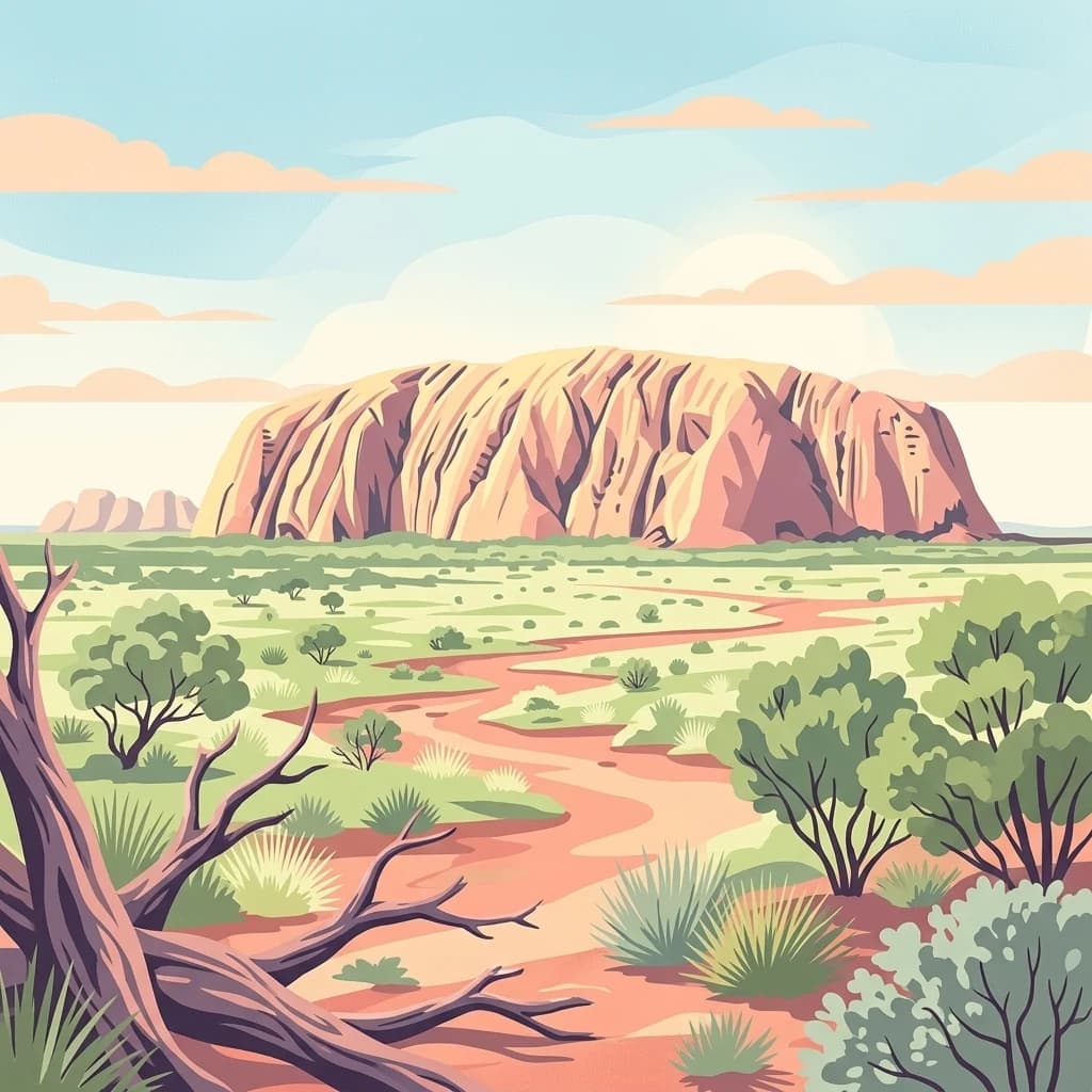
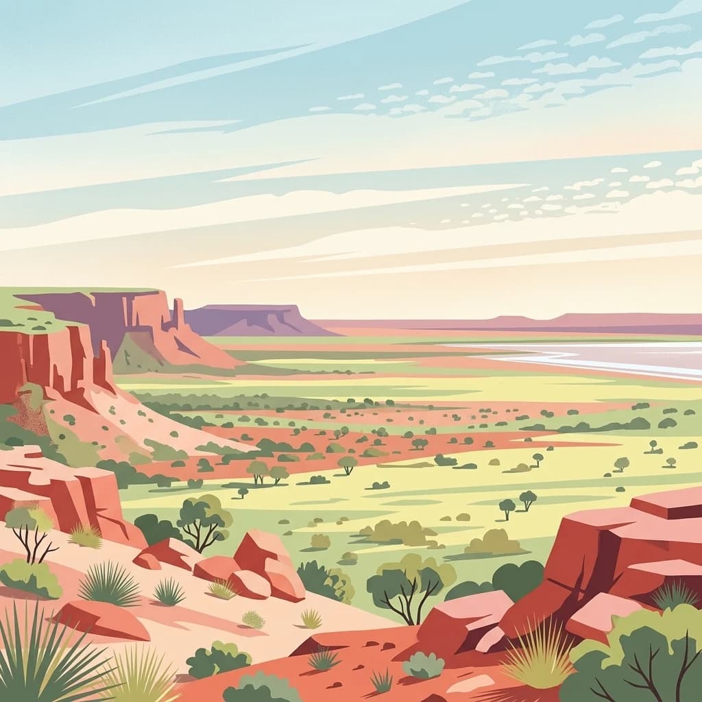
A vast Anangu-managed desert landscape encircling Uluru-Kata Tjuta across three Australian states.
Katiti-Petermann Indigenous Protected Area
The Katiti-Petermann Indigenous Protected Area is an immense arid-land conservation estate in central Australia, covering roughly 50,000 square kilometres around the iconic Uluru-Kata Tjuta National Park. It straddles the tri-border region where the Northern Territory, Western Australia, and South Australia meet, forming one of the largest Indigenous Protected Areas in the country. The area is managed through voluntary partnership arrangements between Anangu Traditional Owners and the Australian Government, linking modern conservation practice with one of the world's oldest continuous living cultures.
Its landscape is defined by some of Australia's most striking desert mountain ranges, including the Musgrave, Mann, Petermann, and Bloods ranges, together with broad chains of salt lakes such as Lake Amadeus and Lake Neale stretching across the northern portion of the protected area. Vegetation ranges from spinifex-dominated sand plains and mulga woodlands to river red gum corridors along dry creek beds, creating a mosaic of arid habitats.
The protected area is significant for both its biodiversity and its cultural meaning. Anangu custodians, predominantly Pitjantjatjara and Yankunytjatjara people, have inhabited this country for at least ten thousand years and manage the land today through ranger programs that conduct fire management, weed control, feral animal control, and species survey work. The IPA plays a growing role in protecting threatened desert species and safeguarding water sites in a landscape where feral camels concentrate heavily.