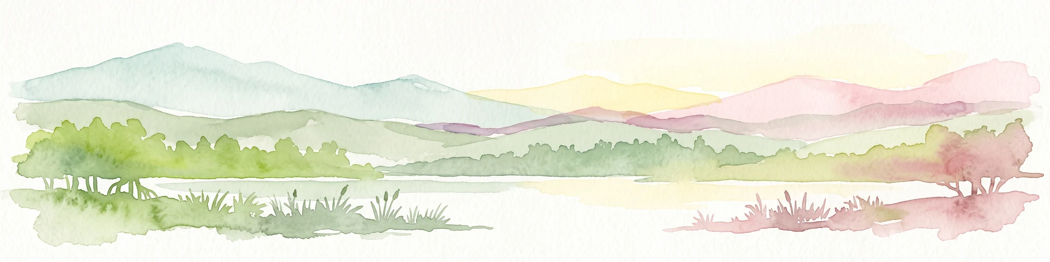
Coastal lagoon and Ramsar wetland at the heart of Anlo-Ewe country.
Keta Lagoon
Keta Lagoon is the largest of more than ninety lagoons that fringe Ghana's 550-kilometer coastline, stretching roughly 126 kilometers along the eastern edge of the country between the sandy barrier that separates it from the Gulf of Guinea and a broad hinterland of floodplains and mangrove swamps. Together with these surrounding wetlands, the lagoon forms the Keta Lagoon Ramsar Site, a coastal wetland system of major importance for waterbirds, fisheries, and the cultural life of the Anlo-Ewe people.
The lagoon is a focal point of daily life in the Anlo area. Settlements such as Keta, Anloga, Woe, Anyako, Denu, and Adina ring its shores, and fishing, salt winning, coconut cultivation, and boat transport have long shaped local livelihoods. Designated a Wetland of International Importance by the Ramsar Convention in 1992 and recognized as an Important Bird Area by BirdLife International, the lagoon is now protected as one of the most significant coastal wetlands in West Africa, although it continues to face pressure from coastal erosion, flooding, mangrove cutting, and overfishing.
Beyond its ecological value, Keta Lagoon carries deep cultural meaning for the Anlo-Ewe communities that settled around it after migrating from Notsie in the seventeenth century. Traditional spiritual practices, festivals like Tagbaza, and a long history of conflict and cooperation over fishing rights and salt production all remain tied to its waters, making it as much a cultural landscape as a natural one.